Elevation of US-81, York, NE, USA
Location: United States > Nebraska > York County > Lockridge >
Longitude: -97.598906
Latitude: 40.9409958
Elevation: 507m / 1663feet
Barometric Pressure: 95KPa
Elevation Map:
Satellite Map:
Related Photos:
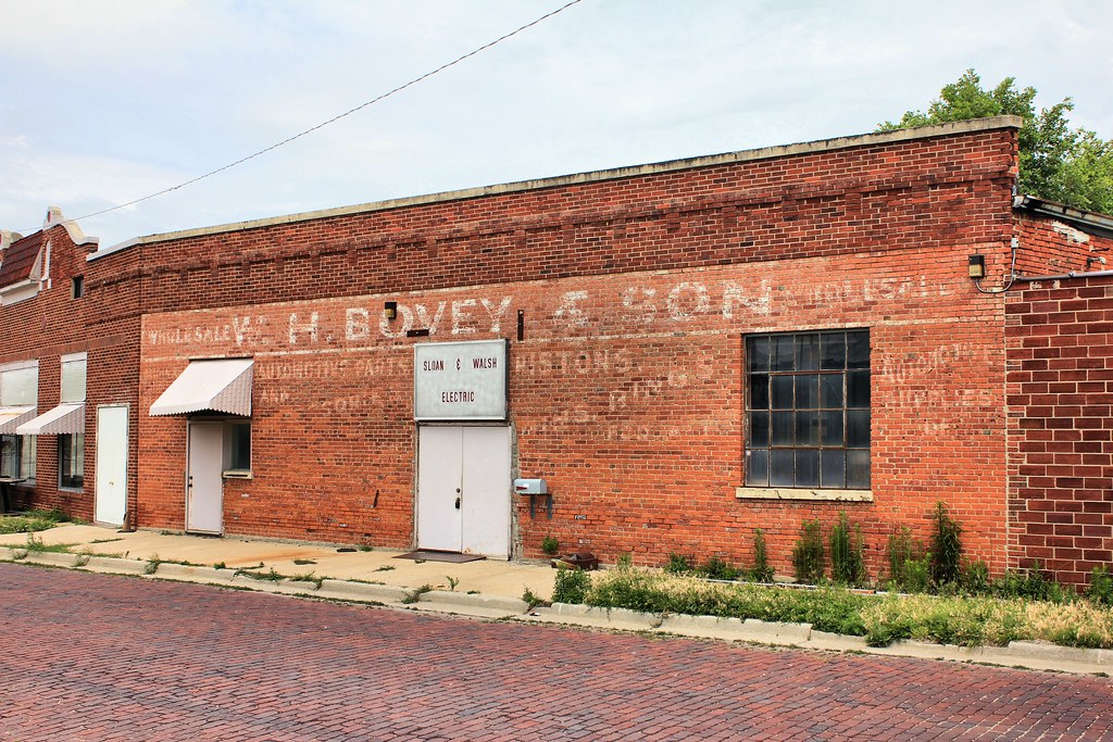
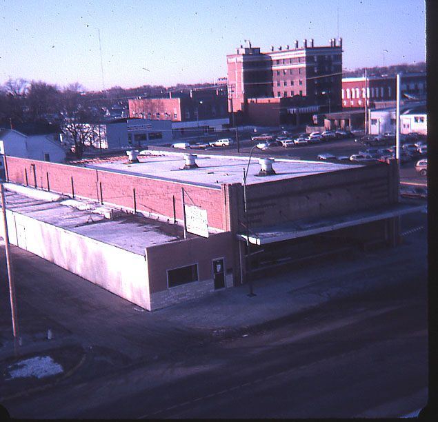
W.H. Bovey & Son Building (side view) - York, NE
courthouse-tint1200
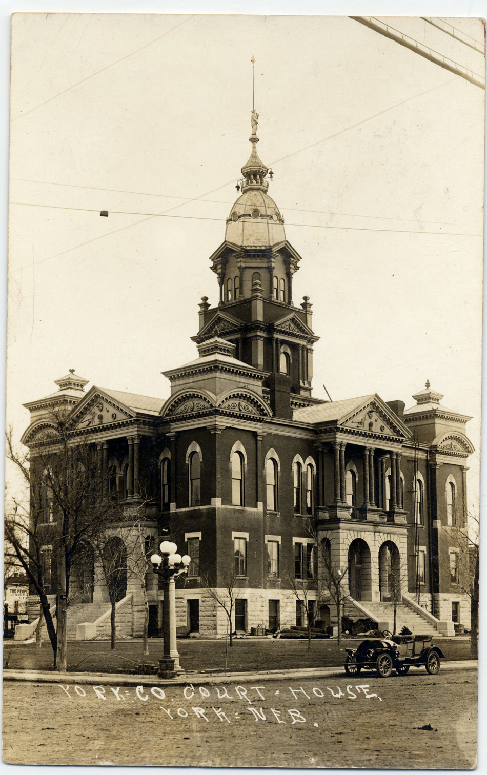
courthouse-nw950
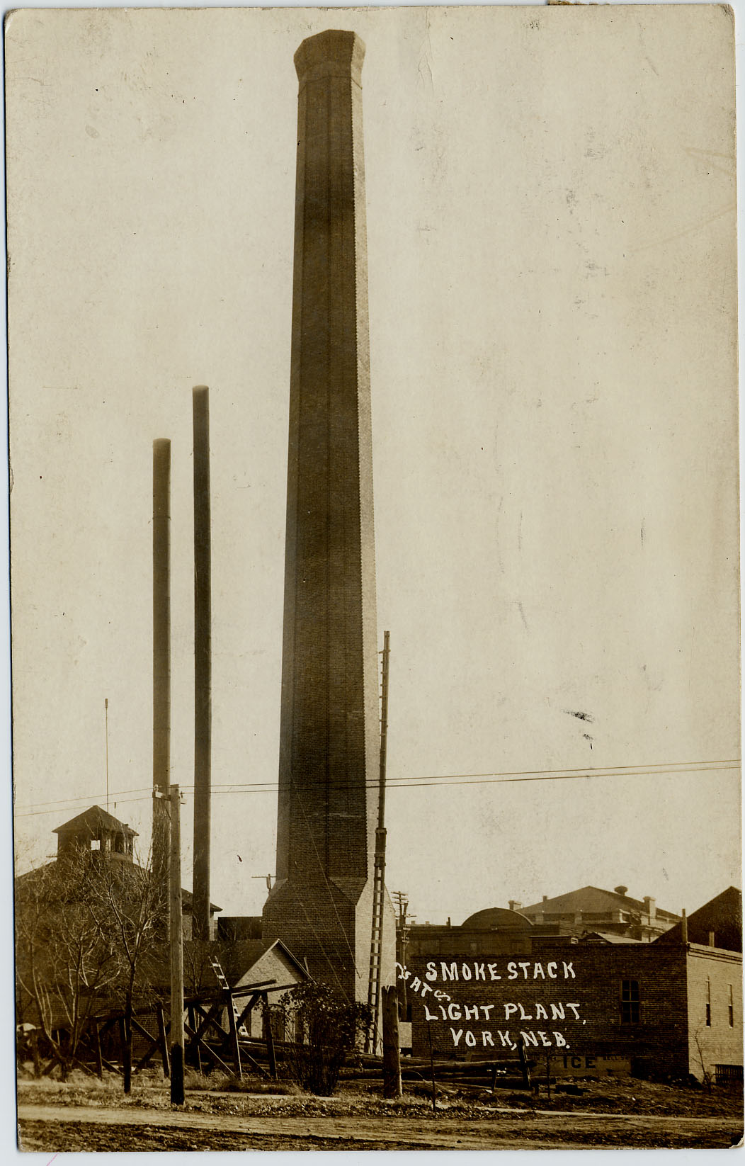
Light-Plant_Smokestack-b
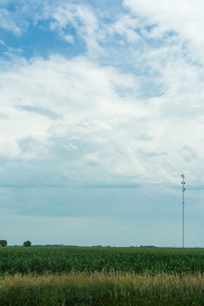
Flat Country
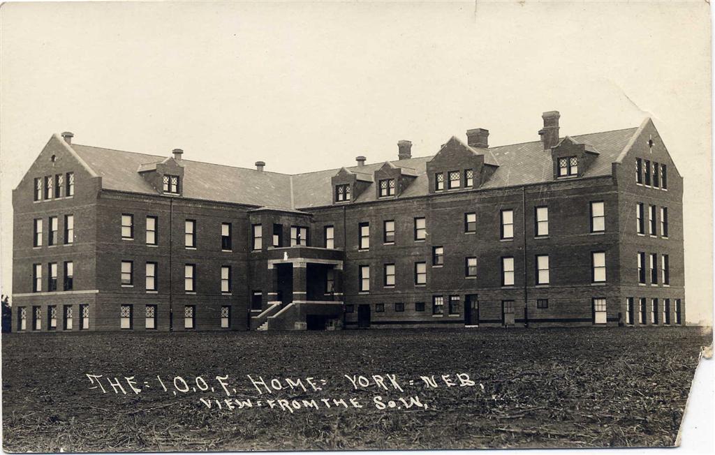
I.O.O.F._home_backside
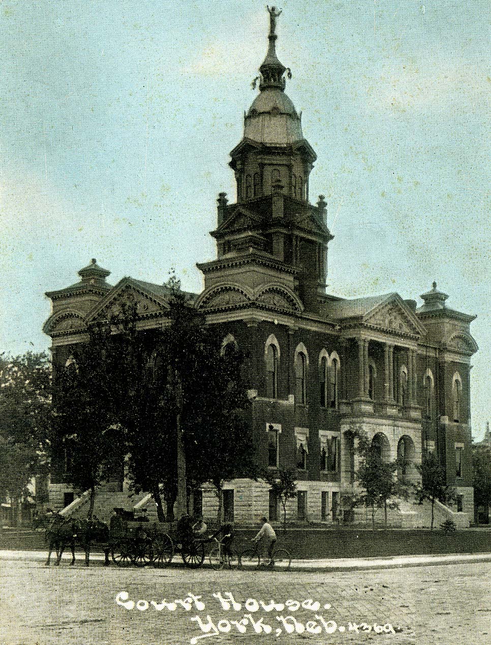
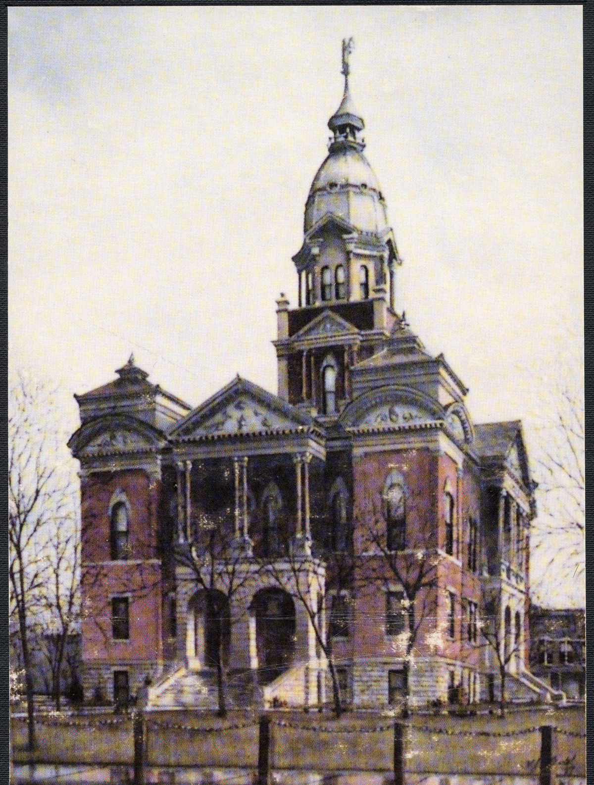
Court-House_colorized
More Help
Scan 05
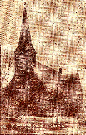
St._Joseph_Church
Nebraska .
A Fine End
CIMG0011.jpg

Bradshaw, Nebraska

HIP_315093629.862257

Figure "8" Race. Nostalgic good times. #familyfirst
Nebraska, York -- Faller Landscape

Cottonwood split
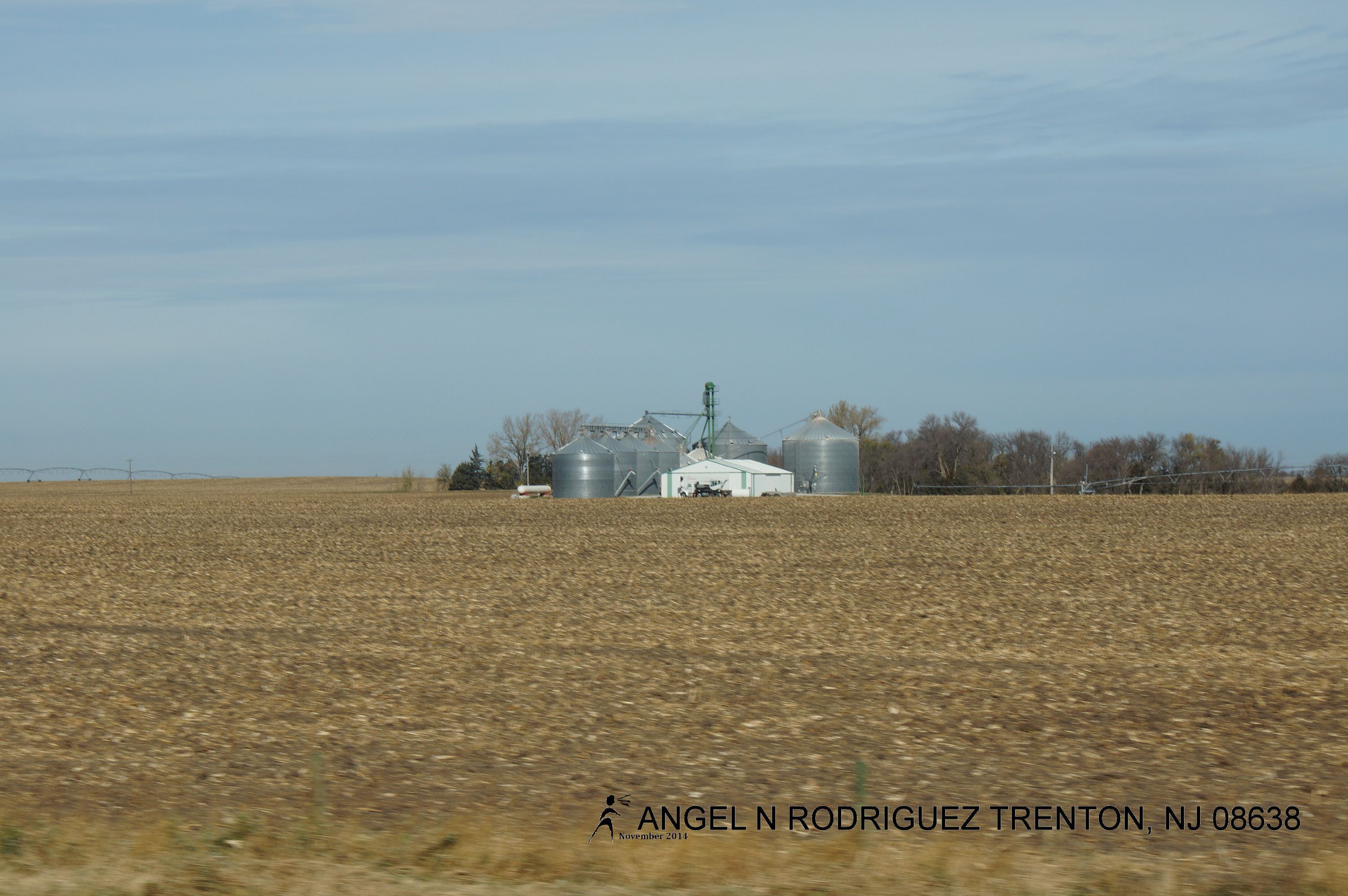
06. Nebraska farmfield

20110620-IMG_8108

20110620-IMG_8089
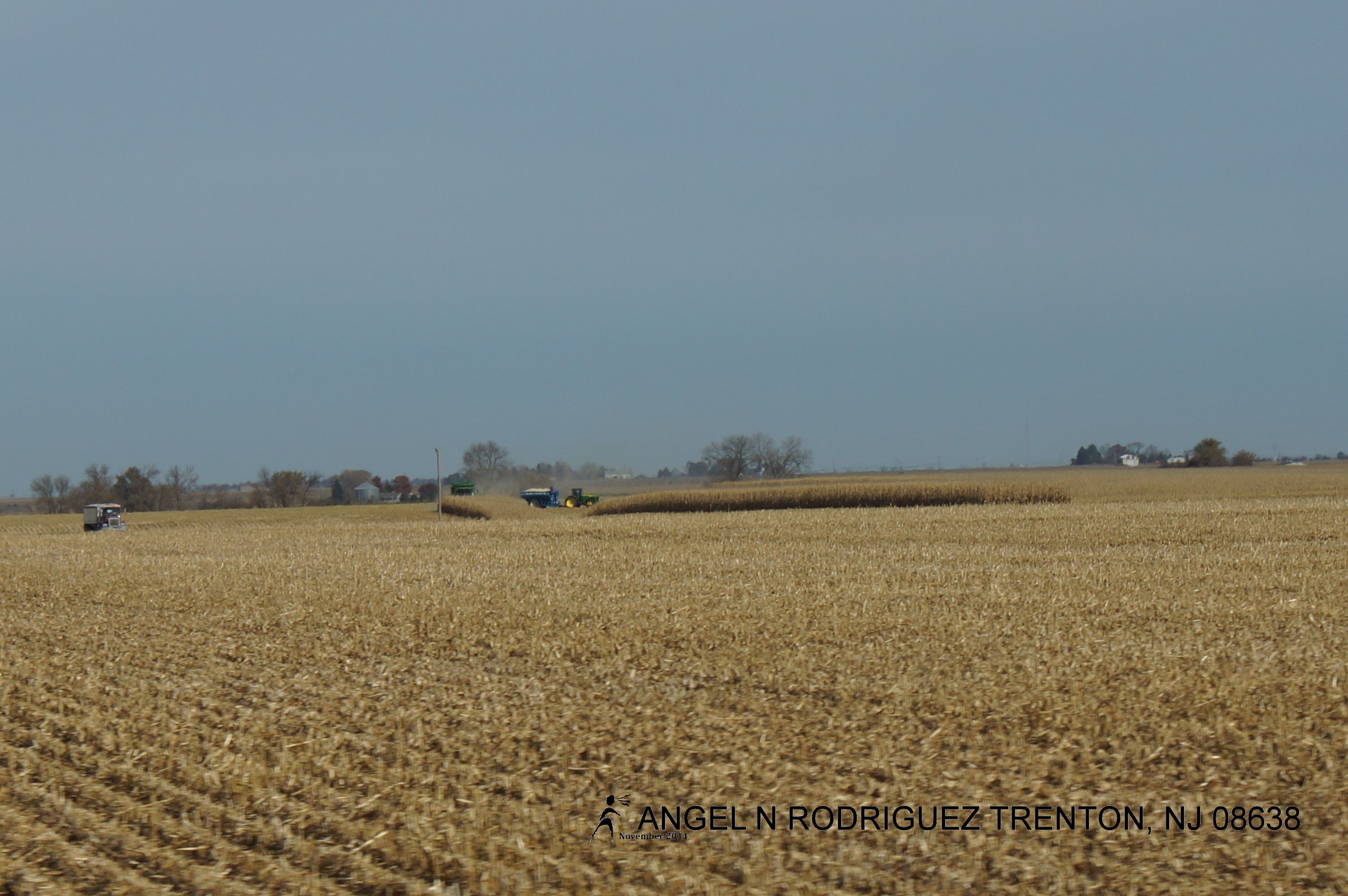
From West to East
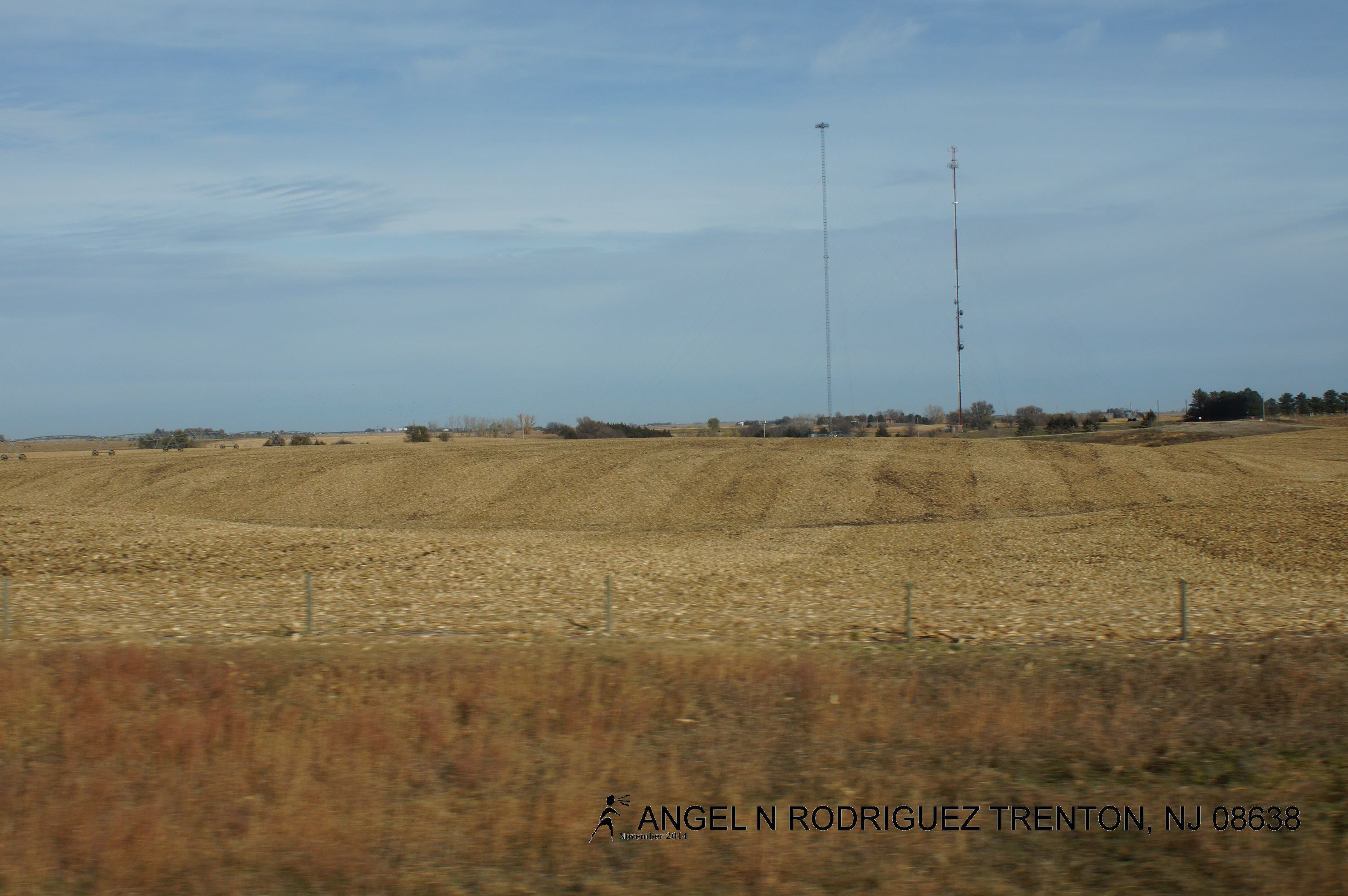
From West to East

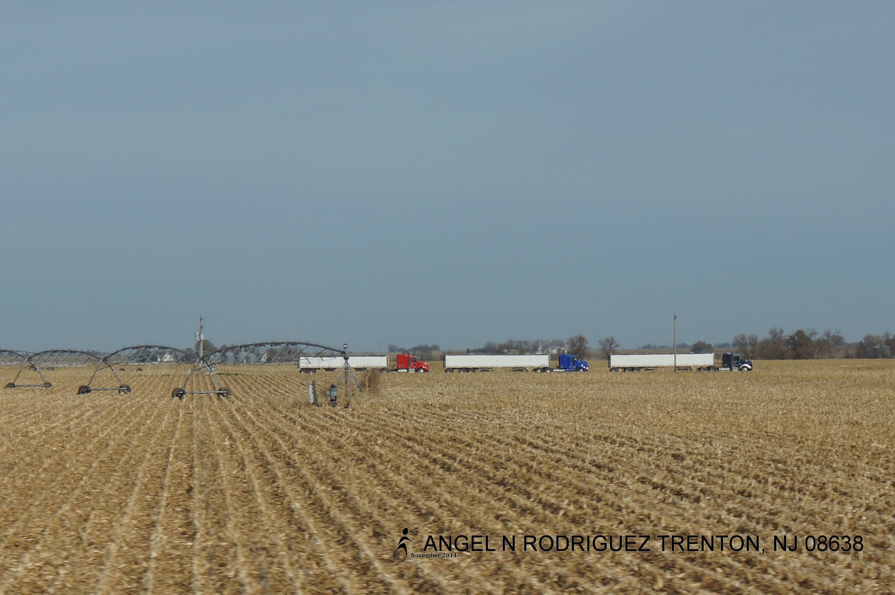
From West to East
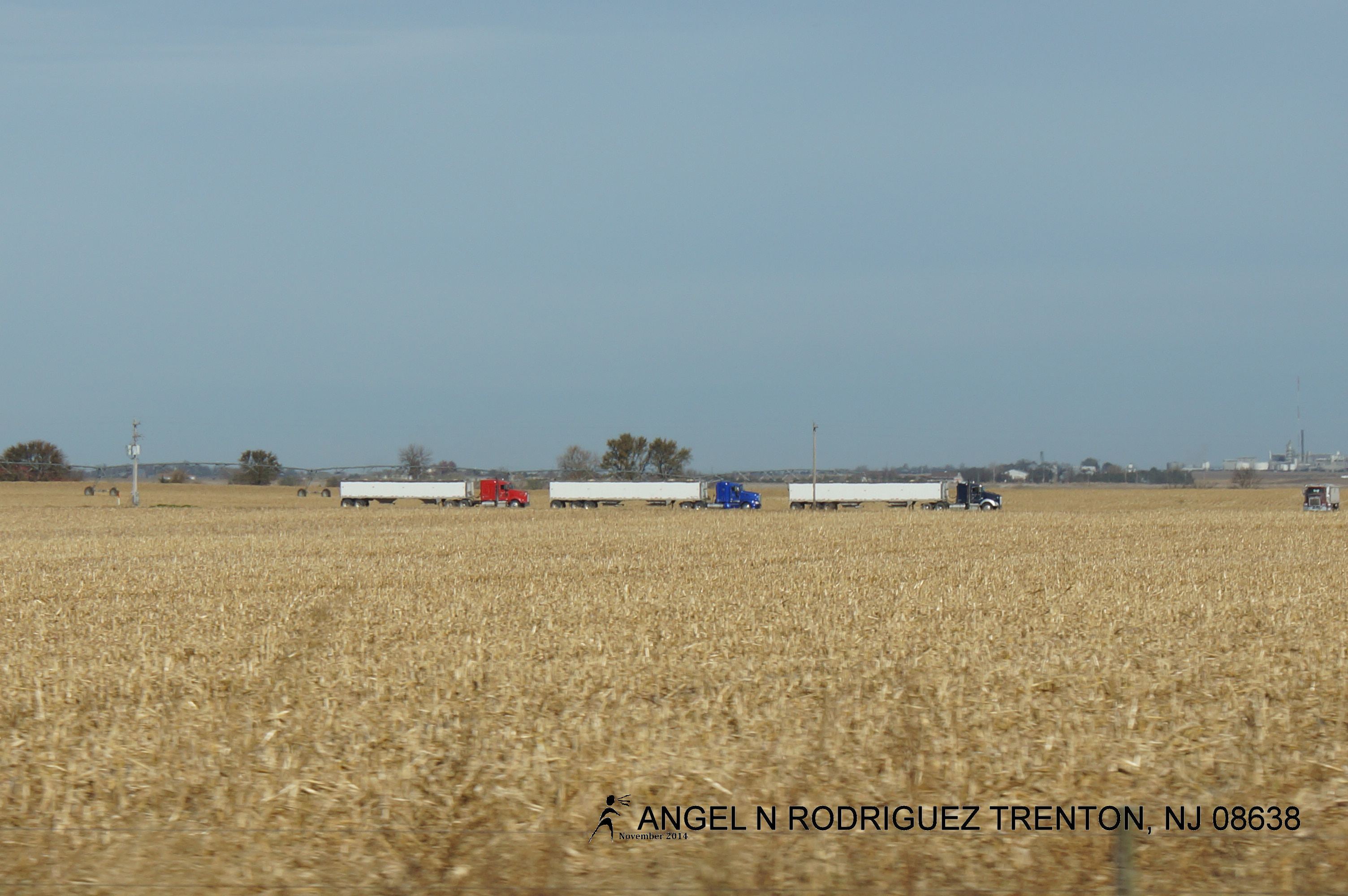
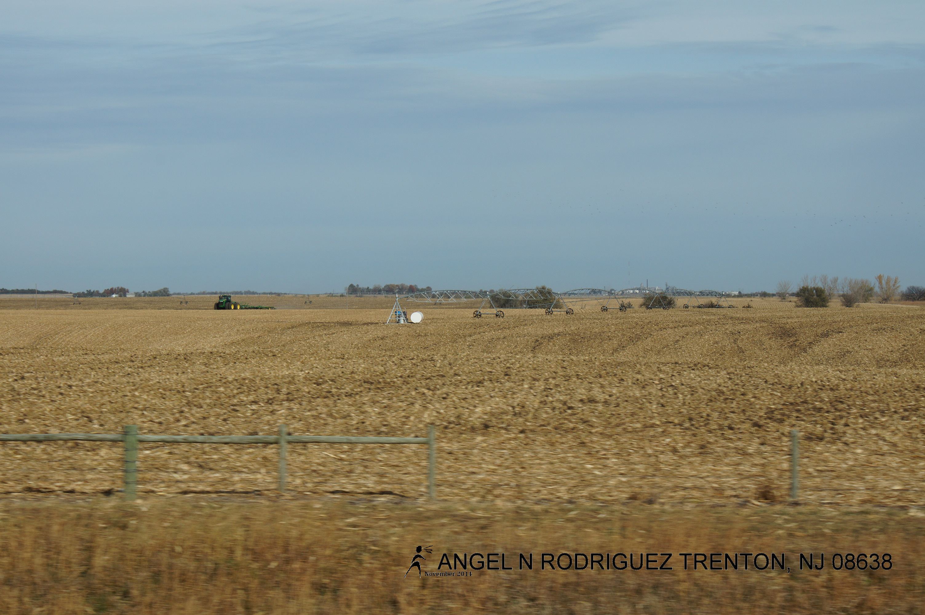
From West to East
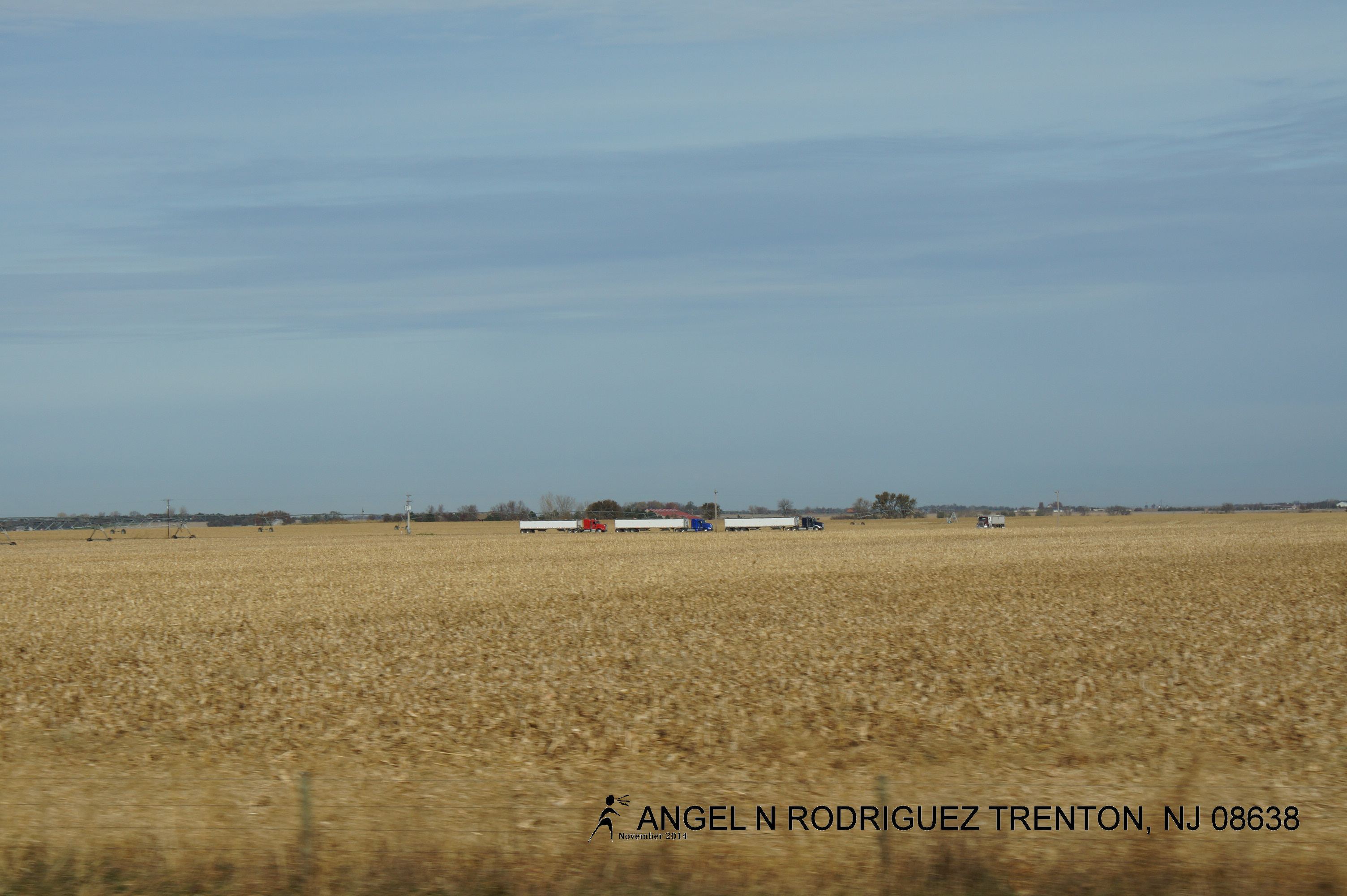
From West to East
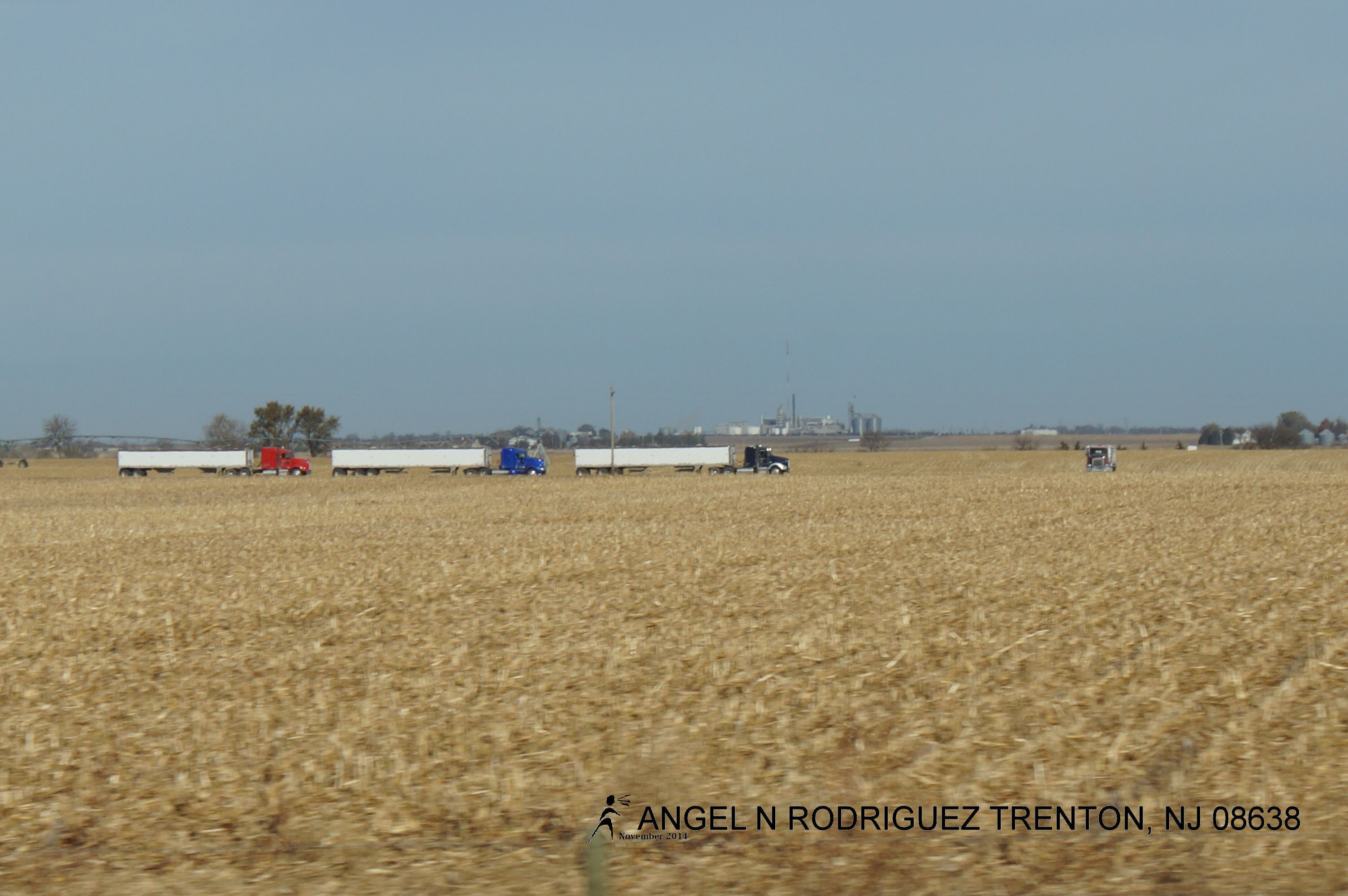
From West to East
From West to East
From West to East
From West to East
From West to East
Topographic Map of US-81, York, NE, USA
Find elevation by address:

Places near US-81, York, NE, USA:
1005 Mayhew Ave
York
Lockridge
711 S Lincoln Ave
1116 Nobes Rd Sw
S Lincoln Ave, York, NE, USA
Bradshaw
Lincoln St, Bradshaw, NE, USA
York County
Bradshaw
Polk County
1159 129th Rd
1159 129th Rd
1159 129th Rd
South Canada
Shelby
Elm St, Shelby, NE, USA
N W Rd, Hordville, NE, USA
Hordville
U.s. 30
Recent Searches:
- Elevation of 72-31 Metropolitan Ave, Middle Village, NY, USA
- Elevation of 76 Metropolitan Ave, Brooklyn, NY, USA
- Elevation of Alisal Rd, Solvang, CA, USA
- Elevation of Vista Blvd, Sparks, NV, USA
- Elevation of 15th Ave SE, St. Petersburg, FL, USA
- Elevation of Beall Road, Beall Rd, Florida, USA
- Elevation of Leguwa, Nepal
- Elevation of County Rd, Enterprise, AL, USA
- Elevation of Kolchuginsky District, Vladimir Oblast, Russia
- Elevation of Shustino, Vladimir Oblast, Russia