Elevation of Mayhew Ave, York, NE, USA
Location: United States > Nebraska > York County > York >
Longitude: -97.579197
Latitude: 40.8711192
Elevation: -10000m / -32808feet
Barometric Pressure: 295KPa
Elevation Map:
Satellite Map:
Related Photos:

W.H. Bovey & Son Building (side view) - York, NE

Light-Plant_Smokestack-b

courthouse-tint1200

Flat Country

courthouse-nw950
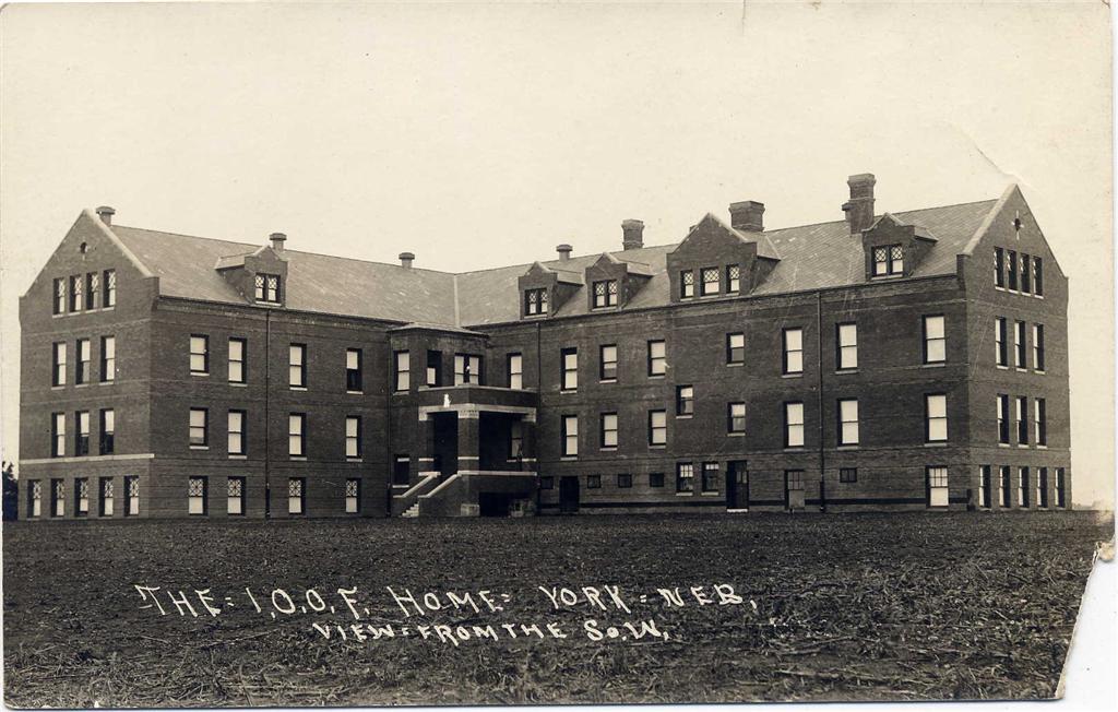
I.O.O.F._home_backside

More Help

Scan 05

Scan 01

DSCF0600 May 11, 2011

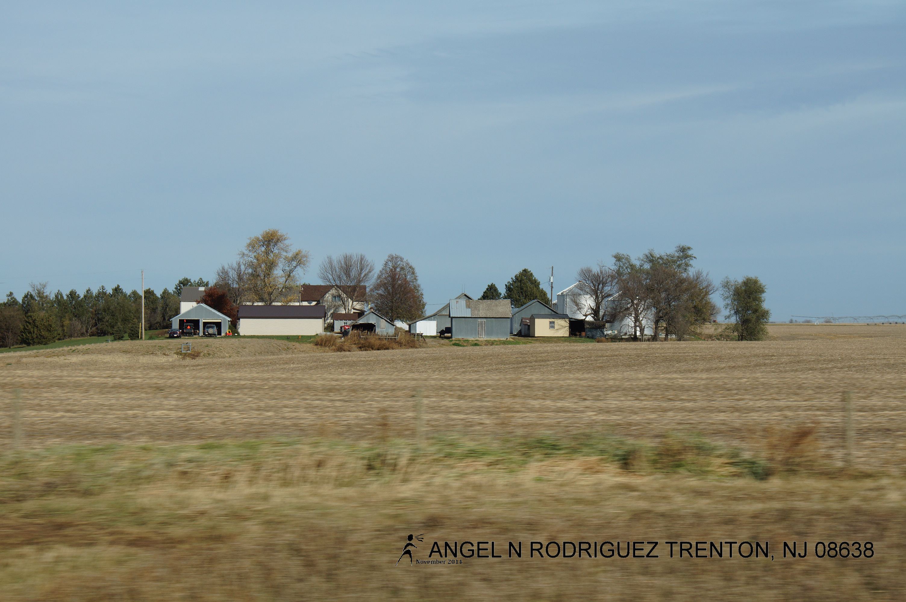
06. Nebraska farmfield

CIMG0011.jpg

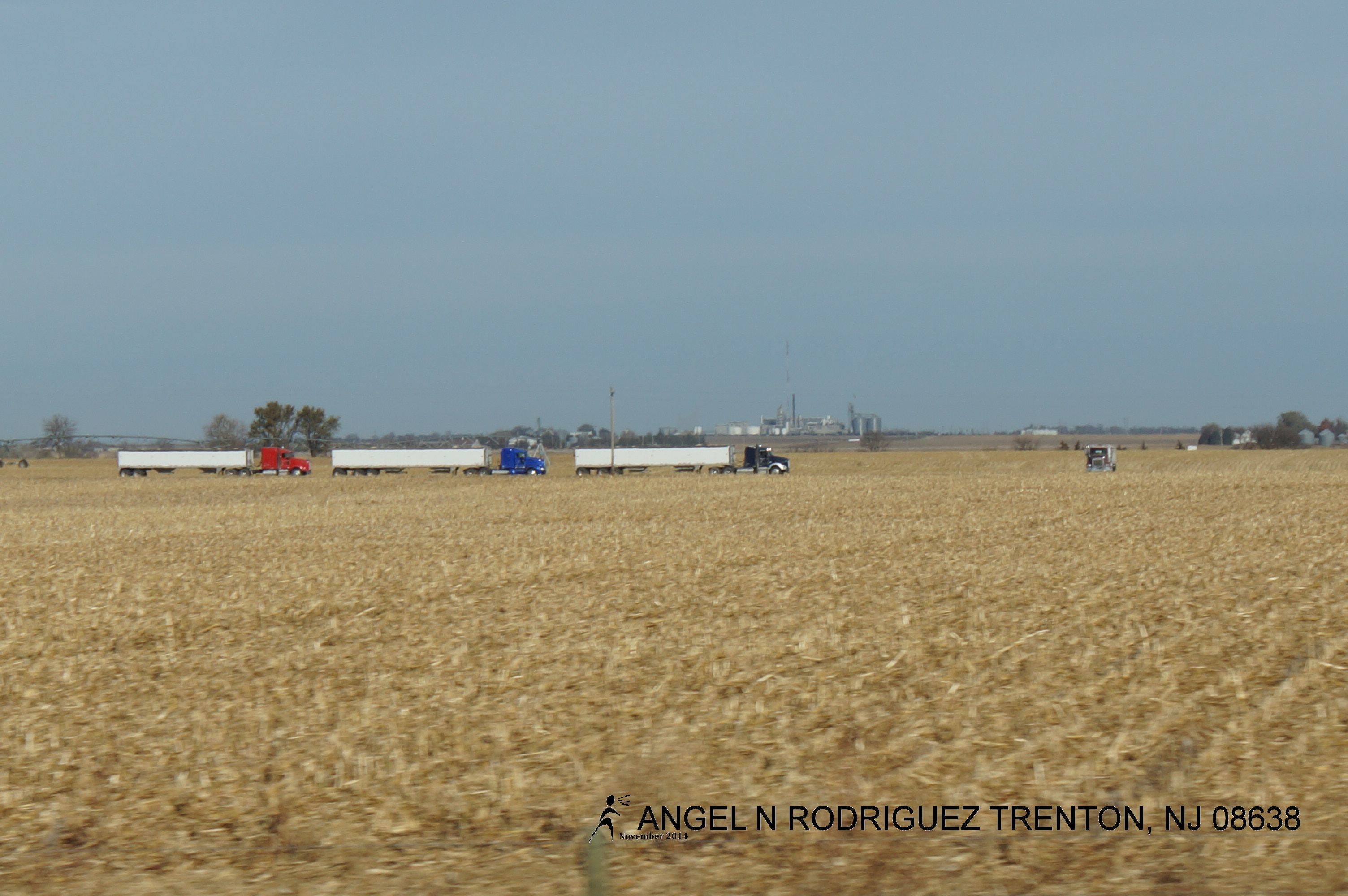
Nebraska .

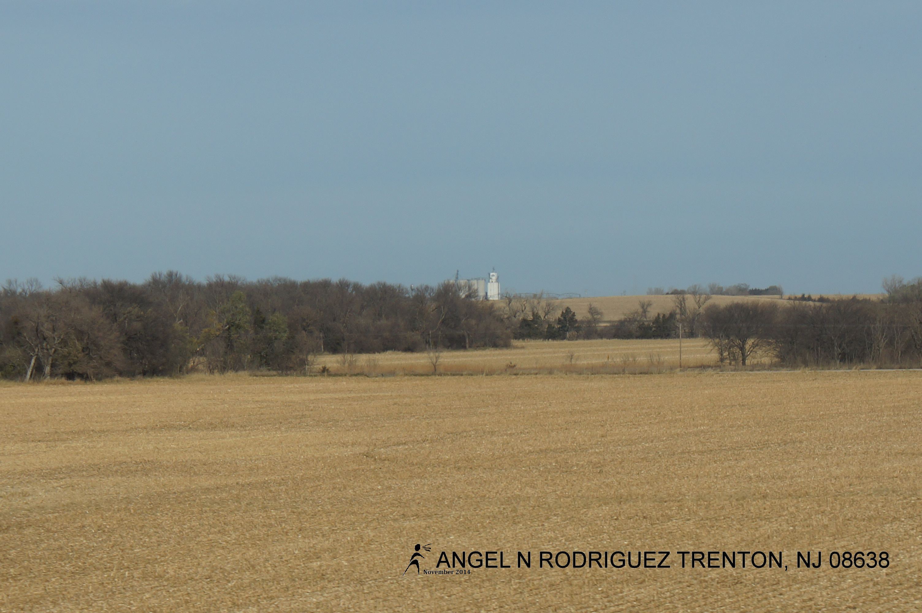
Corn field in Nebraska

Cottonwood split

From West to East
From West to East

From West to East
From West to East

From West to East

From West to East

From West to East

From West to East

From West to East

From West to East

From West to East

From West to East

From West to East

From West to East

From West to East
From West to East
Topographic Map of Mayhew Ave, York, NE, USA
Find elevation by address:

Places near Mayhew Ave, York, NE, USA:
York
711 S Lincoln Ave
1116 Nobes Rd Sw
S Lincoln Ave, York, NE, USA
US-81, York, NE, USA
York County
Lockridge
Lincoln St, Bradshaw, NE, USA
Bradshaw
Bradshaw
Polk County
1159 129th Rd
1159 129th Rd
1159 129th Rd
South Canada
Shelby
Elm St, Shelby, NE, USA
N W Rd, Hordville, NE, USA
Hordville
F
Recent Searches:
- Elevation of W Granada St, Tampa, FL, USA
- Elevation of Pykes Down, Ivybridge PL21 0BY, UK
- Elevation of Jalan Senandin, Lutong, Miri, Sarawak, Malaysia
- Elevation of Bilohirs'k
- Elevation of 30 Oak Lawn Dr, Barkhamsted, CT, USA
- Elevation of Luther Road, Luther Rd, Auburn, CA, USA
- Elevation of Unnamed Road, Respublika Severnaya Osetiya — Alaniya, Russia
- Elevation of Verkhny Fiagdon, North Ossetia–Alania Republic, Russia
- Elevation of F. Viola Hiway, San Rafael, Bulacan, Philippines
- Elevation of Herbage Dr, Gulfport, MS, USA