Elevation of US-80, Montrose, GA, USA
Location: United States > Georgia > Laurens County > Montrose >
Longitude: -83.150630
Latitude: 32.5578212
Elevation: 119m / 390feet
Barometric Pressure: 100KPa
Elevation Map:
Satellite Map:
Related Photos:

birkenstock

Christmas tree …

Tonight's sunset ❤
W. H. 'Bud' Barron Airport terminal building
Something you can count on
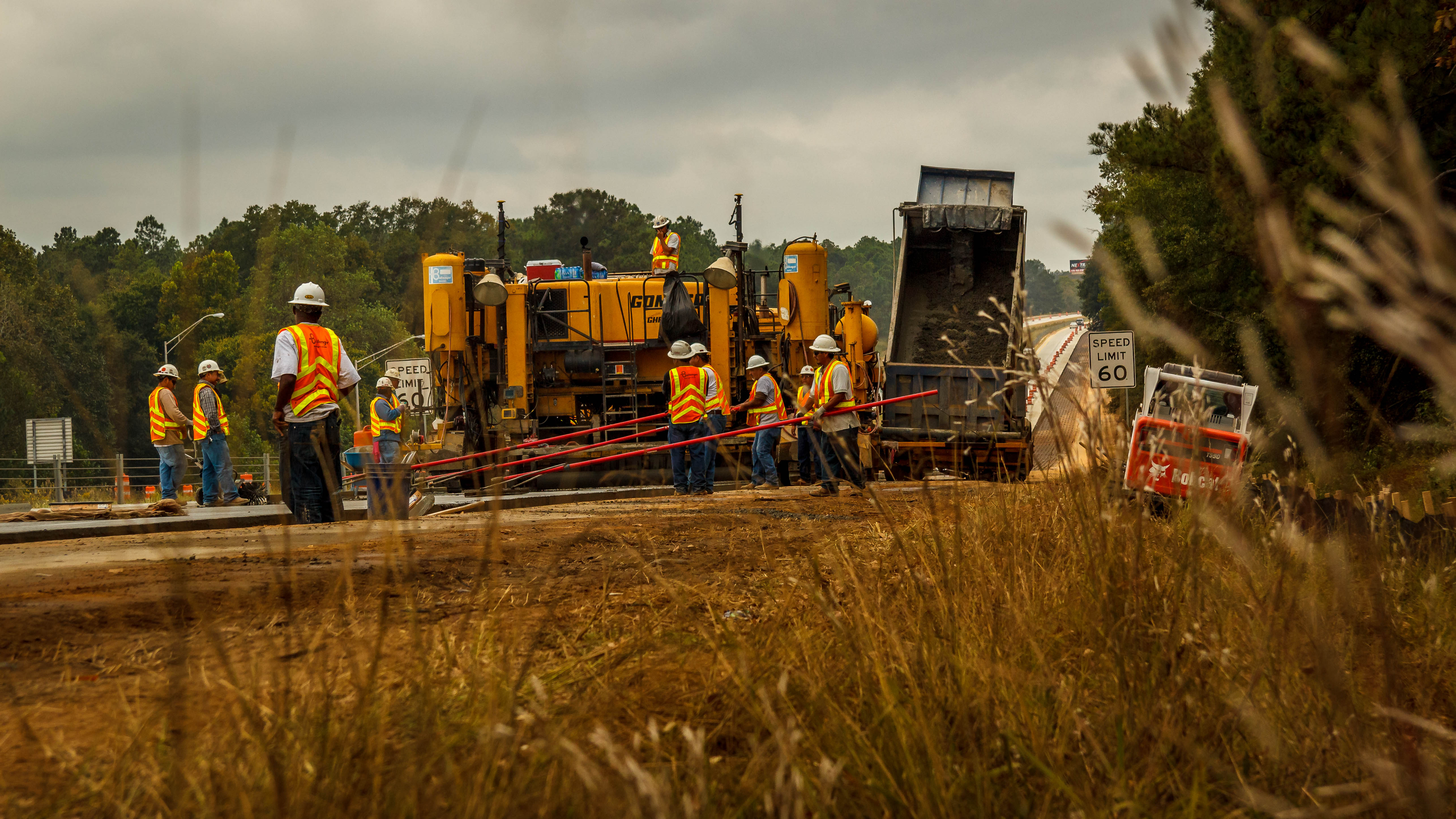
Laurens Truetlen 102013-1542.jpg
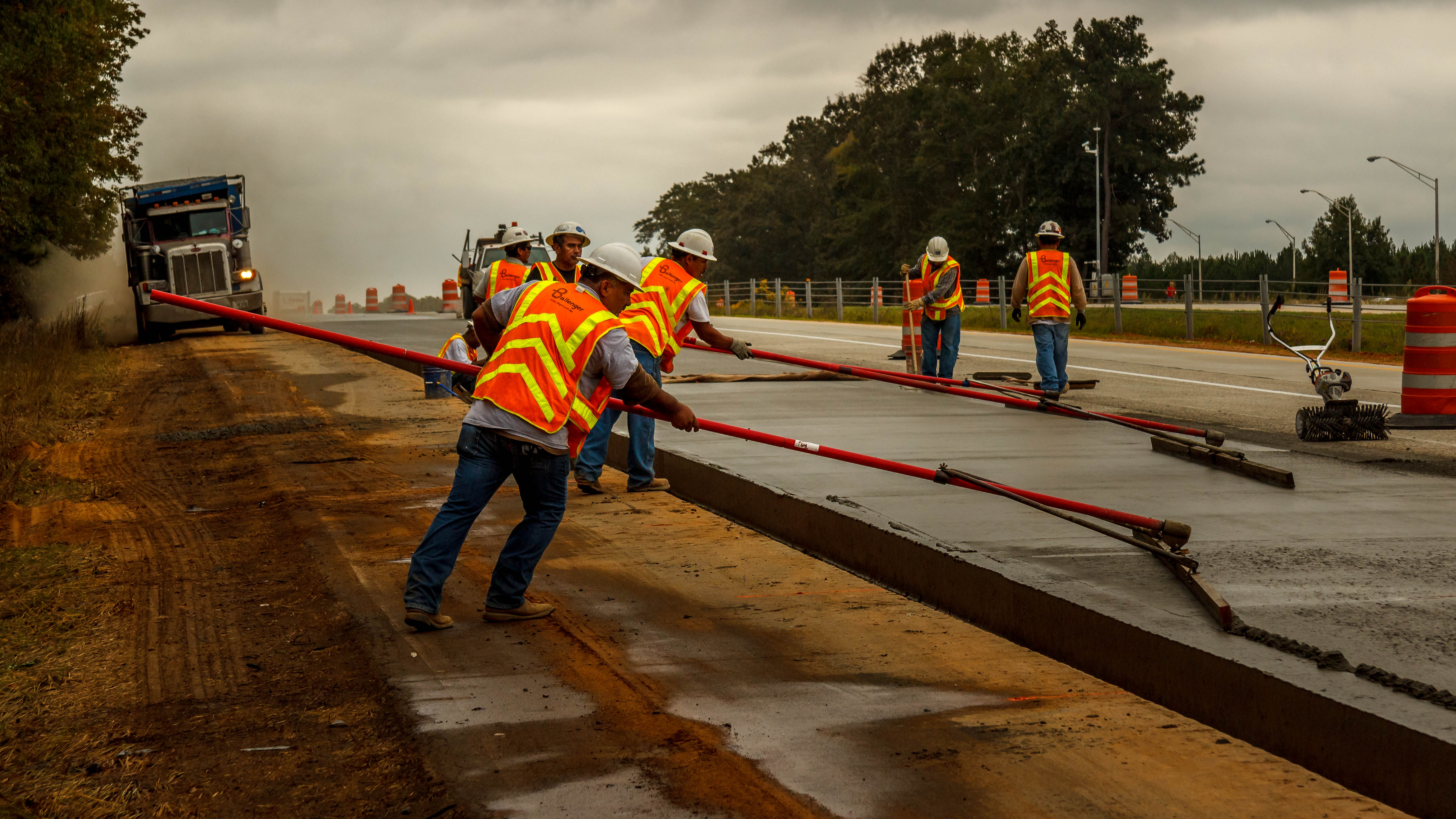
Laurens Truetlen 102013-1515.jpg
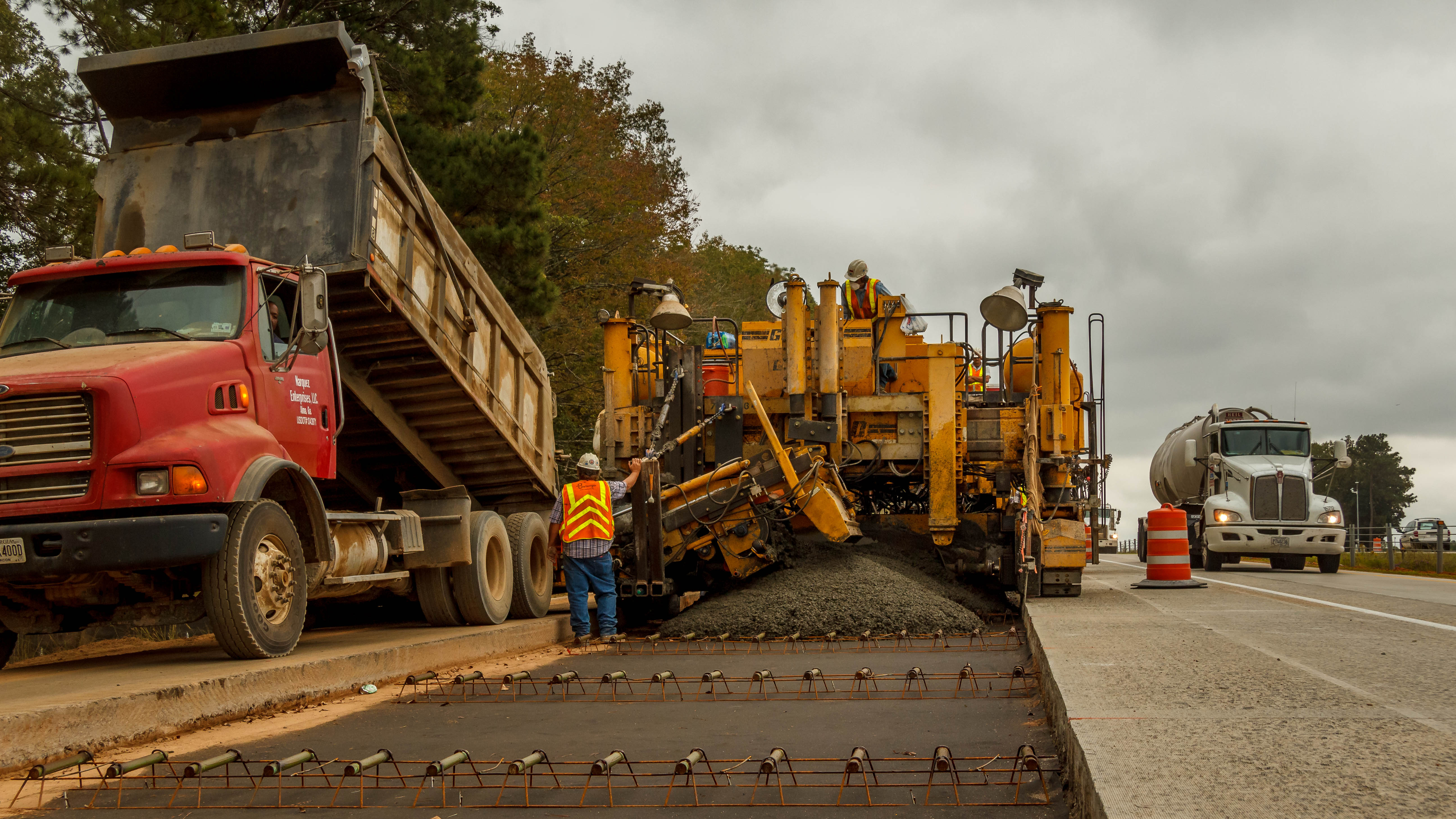
Laurens Truetlen 102013-1502.jpg
Laurens Truetlen 102013-1475.jpg
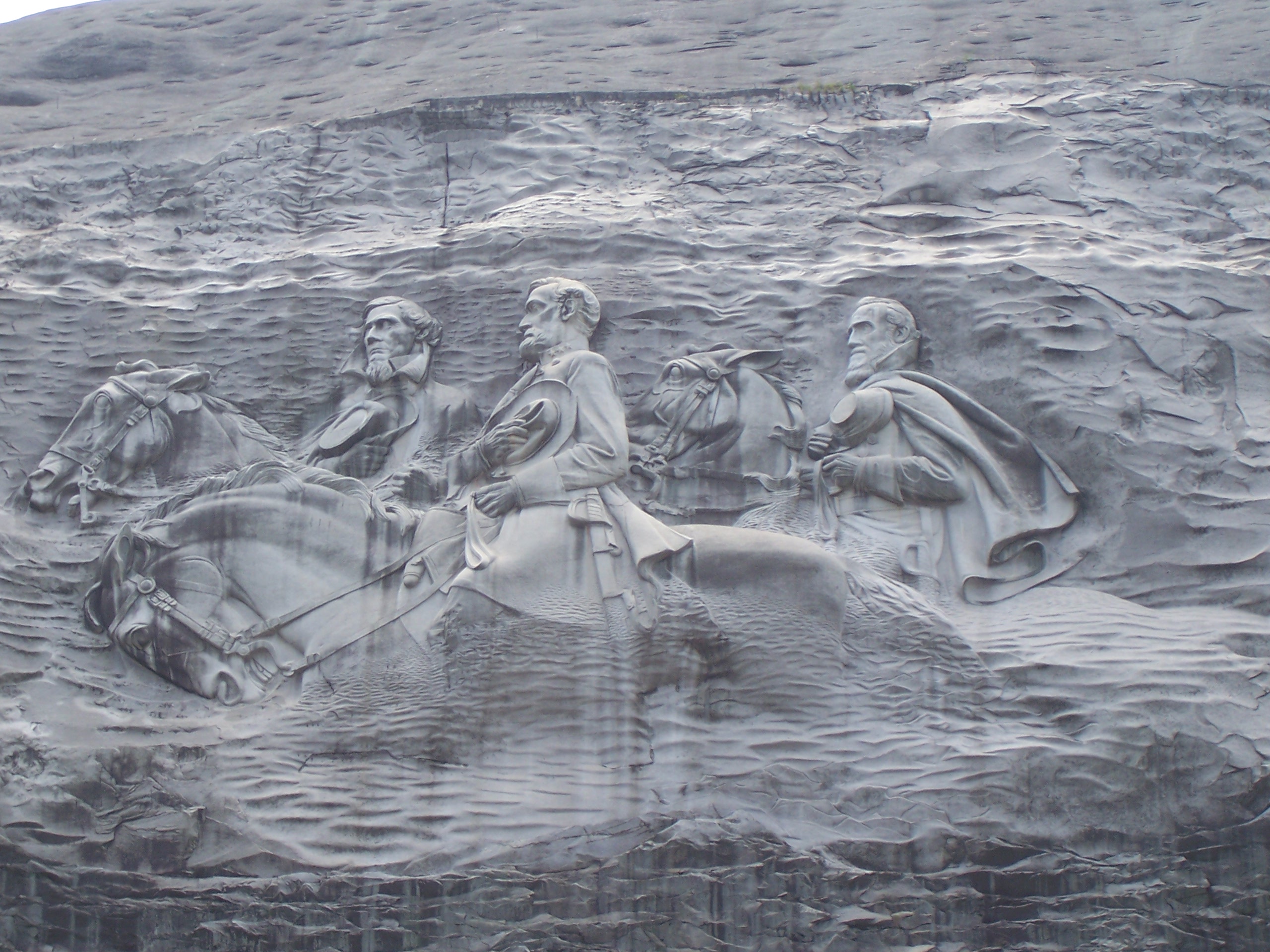
Stone Mountian, GA
IMG_3771.jpg
IMG_3757.jpg
IMG_3763.jpg
IMG_3771.jpg
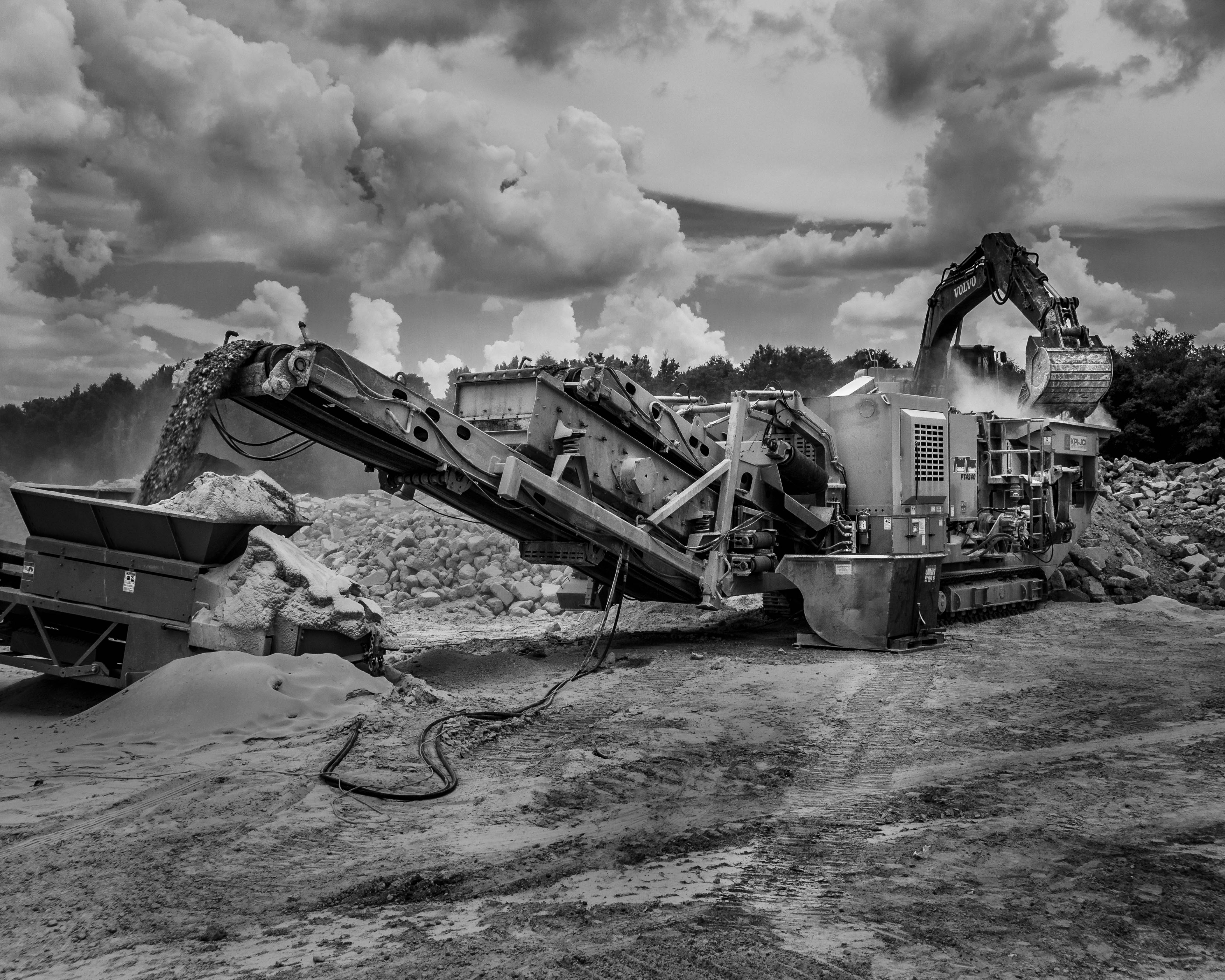
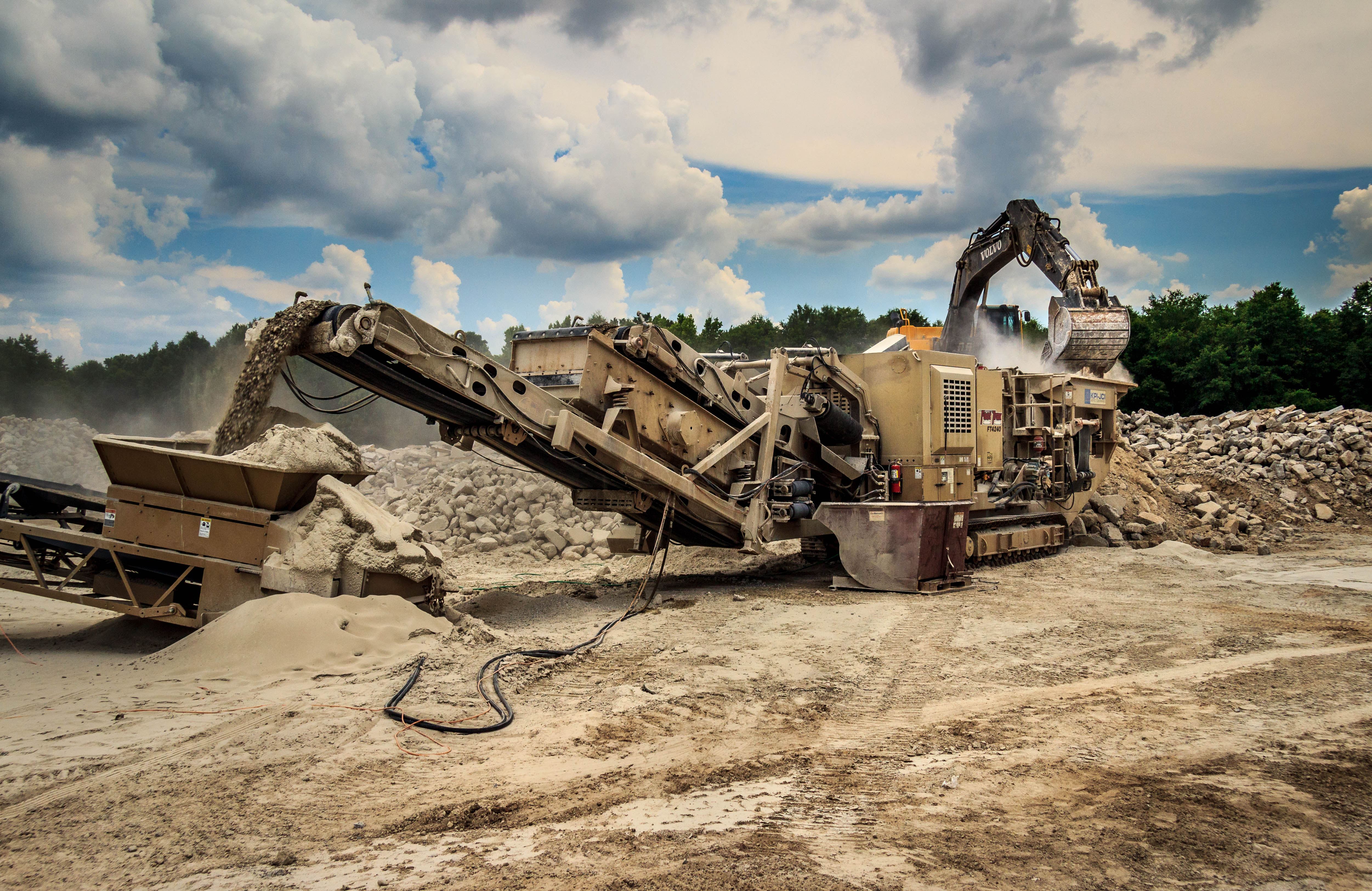
Crushing Pano.jpg

Professional …
Allentown, Georgia
The Life
The Life
The Life
The Life
The Life
Topographic Map of US-80, Montrose, GA, USA
Find elevation by address:

Places near US-80, Montrose, GA, USA:
Montrose
Allentown
Allen Ave, Allentown, GA, USA
Lucas Davis Rd, Dudley, GA, USA
Shady Grove Church Rd, Dublin, GA, USA
GA-, Danville, GA, USA
Danville
Dykes St, Cochran, GA, USA
Abney Rd, Cochran, GA, USA
Chester
368-374
368 Evergreen Rd
Laurens County
Empire Chester Hwy, Cochran, GA, USA
595 W B Coleman Rd
Jeffersonville
Rentz
2895 J R Sims Rd
Wilkinson County
242 E Dykes St
Recent Searches:
- Elevation of Elwyn Dr, Roanoke Rapids, NC, USA
- Elevation of Congressional Dr, Stevensville, MD, USA
- Elevation of Bellview Rd, McLean, VA, USA
- Elevation of Stage Island Rd, Chatham, MA, USA
- Elevation of Shibuya Scramble Crossing, 21 Udagawacho, Shibuya City, Tokyo -, Japan
- Elevation of Jadagoniai, Kaunas District Municipality, Lithuania
- Elevation of Pagonija rock, Kranto 7-oji g. 8"N, Kaunas, Lithuania
- Elevation of Co Rd 87, Jamestown, CO, USA
- Elevation of Tenjo, Cundinamarca, Colombia
- Elevation of Côte-des-Neiges, Montreal, QC H4A 3J6, Canada