Elevation of Chester, GA, USA
Location: United States > Georgia > Dodge County >
Longitude: -83.152929
Latitude: 32.3937787
Elevation: 110m / 361feet
Barometric Pressure: 100KPa
Elevation Map:
Satellite Map:
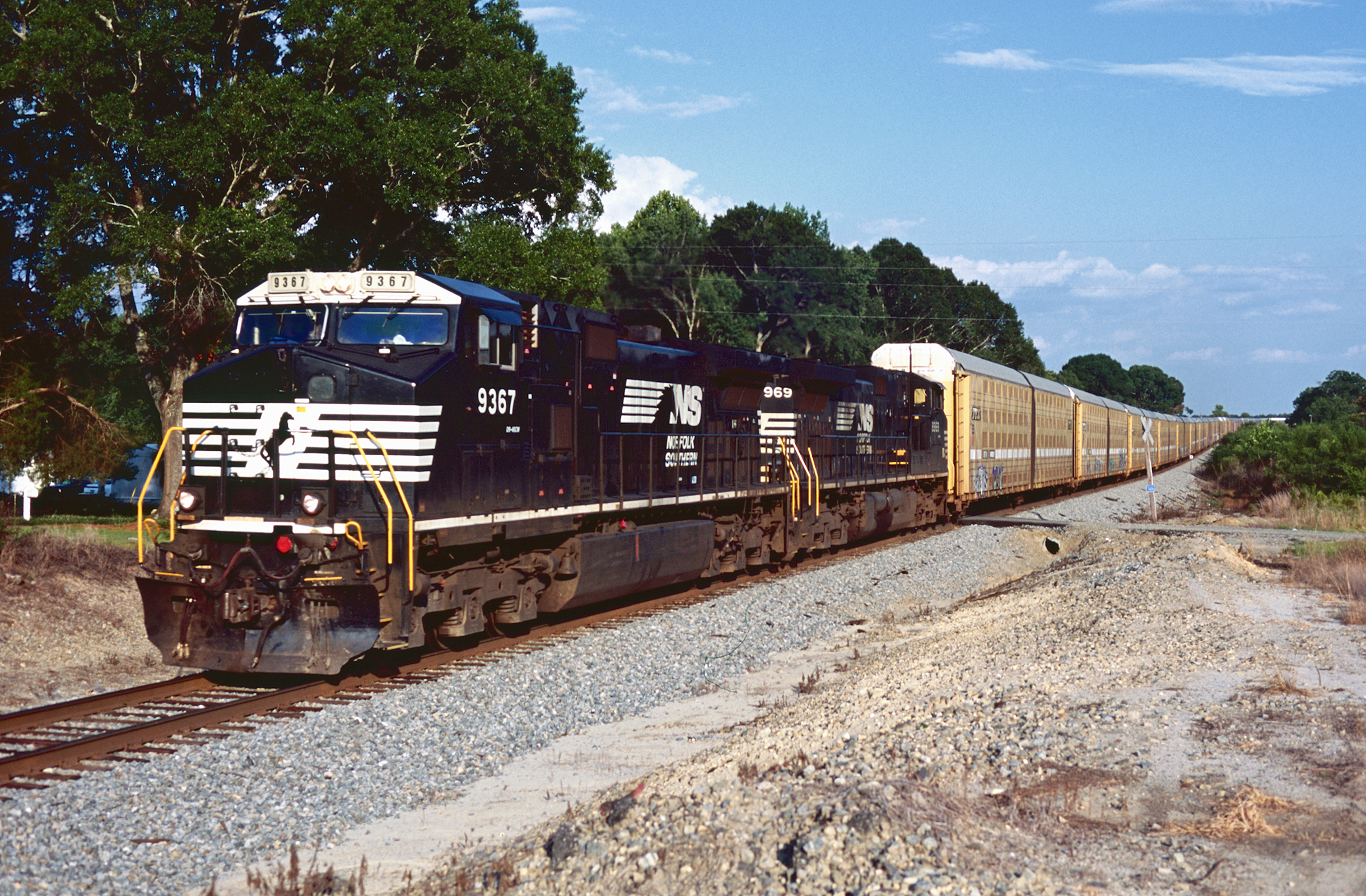
Related Photos:

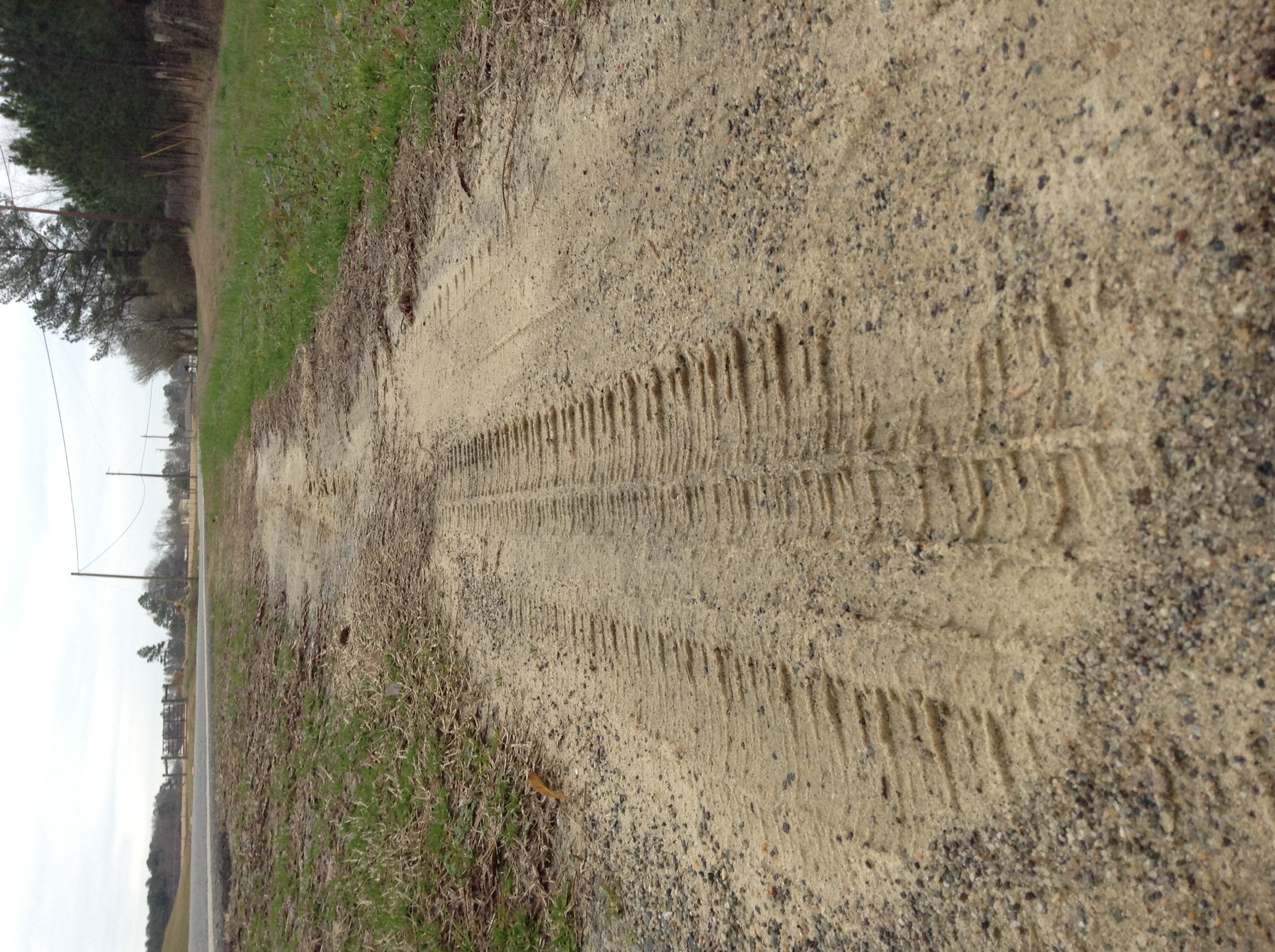
Side View

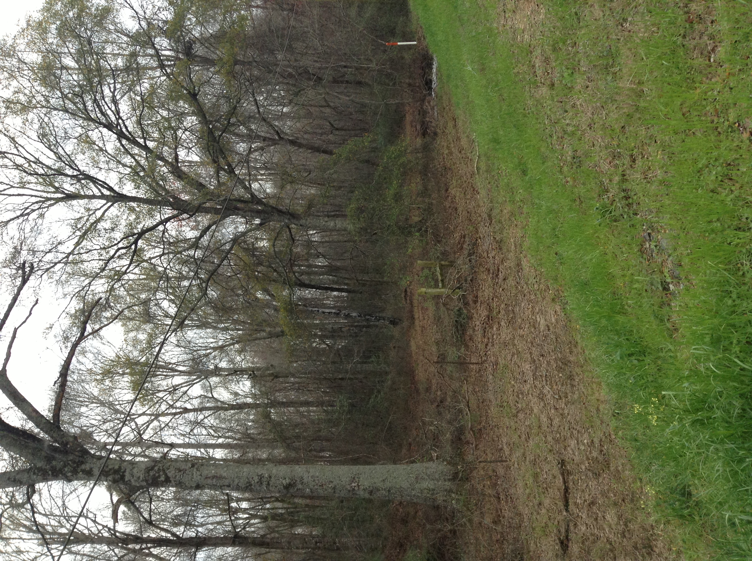
Farm Panorama
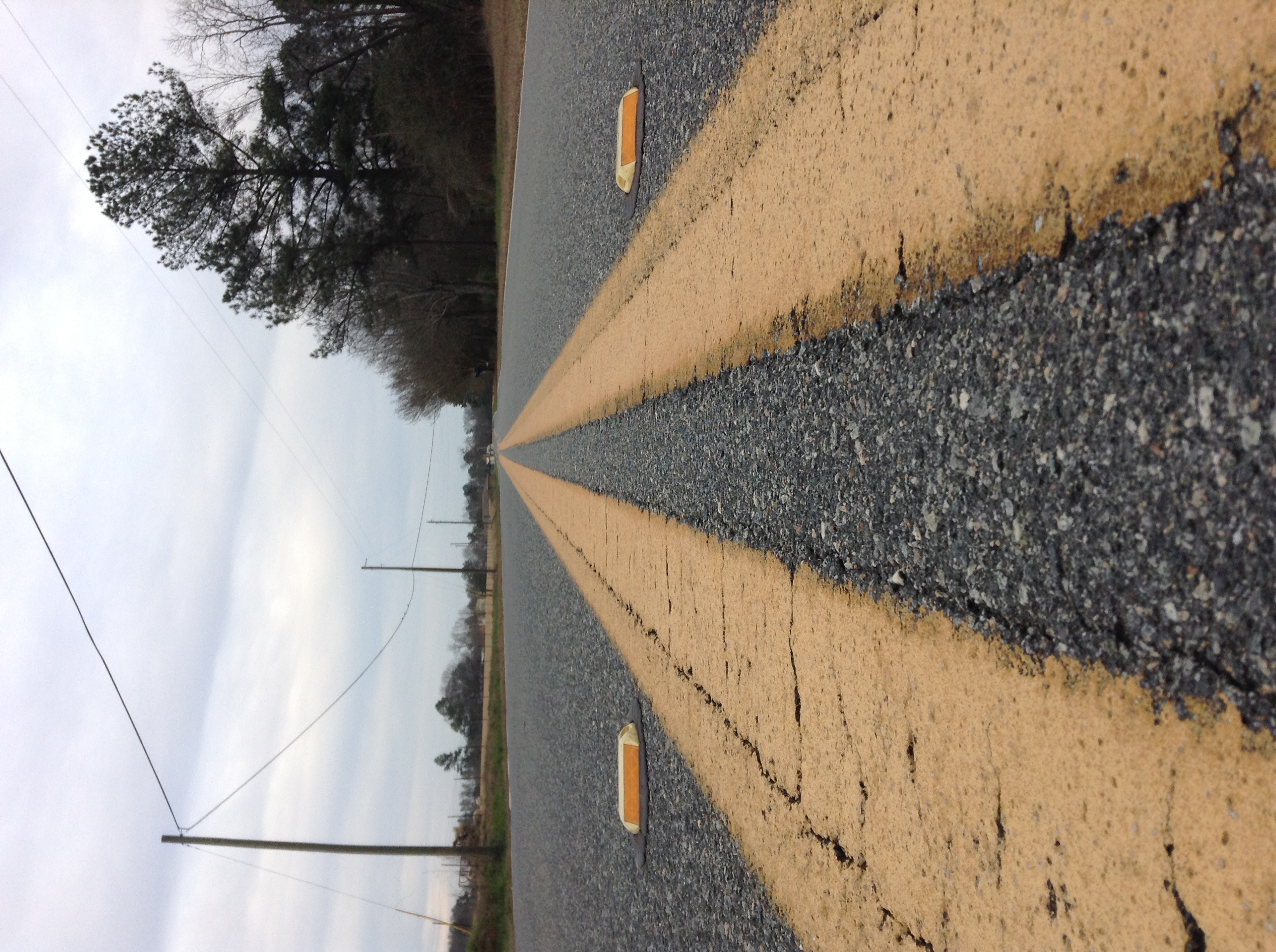
27A Northbound

Heading home.

Taking a break
Working our way home.

At the rest stop

Something you can count on

Professional …
The Life
The Life

The Life

The Life

The Life
The Life

The Life
The Life
The Life

fifty five

Lights in Yonkers

Fall Sun

Fall Colors
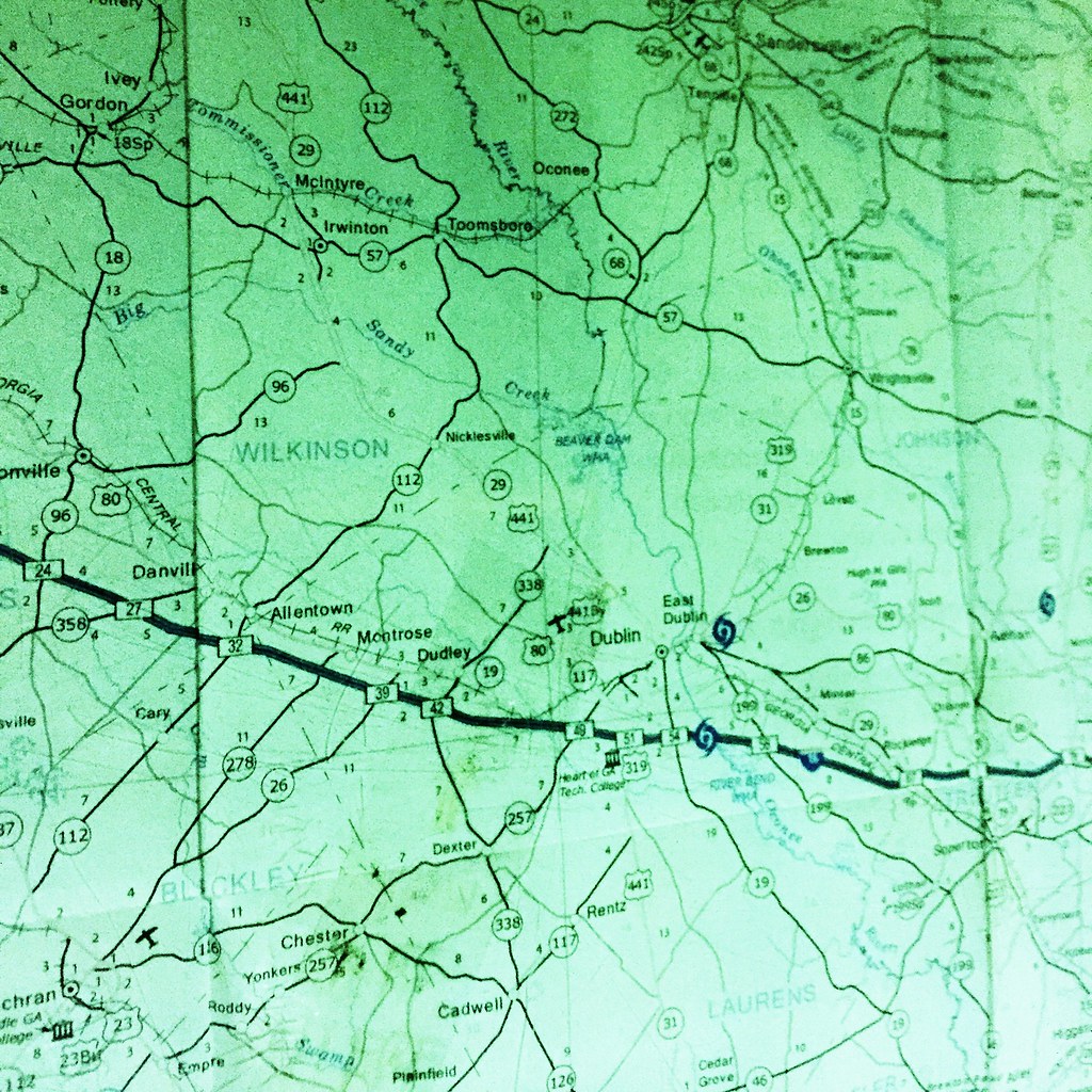
Topographic Map of Chester, GA, USA
Find elevation by address:

Places near Chester, GA, USA:
Lucas Davis Rd, Dudley, GA, USA
Empire Chester Hwy, Cochran, GA, USA
595 W B Coleman Rd
Dykes St, Cochran, GA, USA
Rentz
US-80, Montrose, GA, USA
Laurens County
Shady Grove Church Rd, Dublin, GA, USA
Montrose
Hillside Family Campground
Abney Rd, Cochran, GA, USA
242 E Dykes St
GA-, Danville, GA, USA
126 E Lakeshore Dr
Cochran
368-374
Allentown
Allen Ave, Allentown, GA, USA
Bleckley County
Danville
Recent Searches:
- Elevation of Congressional Dr, Stevensville, MD, USA
- Elevation of Bellview Rd, McLean, VA, USA
- Elevation of Stage Island Rd, Chatham, MA, USA
- Elevation of Shibuya Scramble Crossing, 21 Udagawacho, Shibuya City, Tokyo -, Japan
- Elevation of Jadagoniai, Kaunas District Municipality, Lithuania
- Elevation of Pagonija rock, Kranto 7-oji g. 8"N, Kaunas, Lithuania
- Elevation of Co Rd 87, Jamestown, CO, USA
- Elevation of Tenjo, Cundinamarca, Colombia
- Elevation of Côte-des-Neiges, Montreal, QC H4A 3J6, Canada
- Elevation of Bobcat Dr, Helena, MT, USA