Elevation of US-77, Cameron, TX, USA
Location: United States > Texas > Milam County >
Longitude: -96.988355
Latitude: 30.7601077
Elevation: 125m / 410feet
Barometric Pressure: 100KPa
Elevation Map:
Satellite Map:
Related Photos:

The view of Wolf Park from the depot museum

View from Rt 79, east Texas
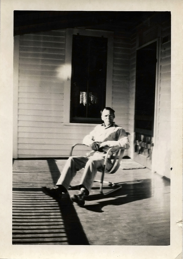
Robert on the porch

This is my grandma Dorothy the day before the funeral, viewing day.
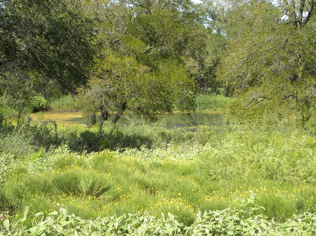
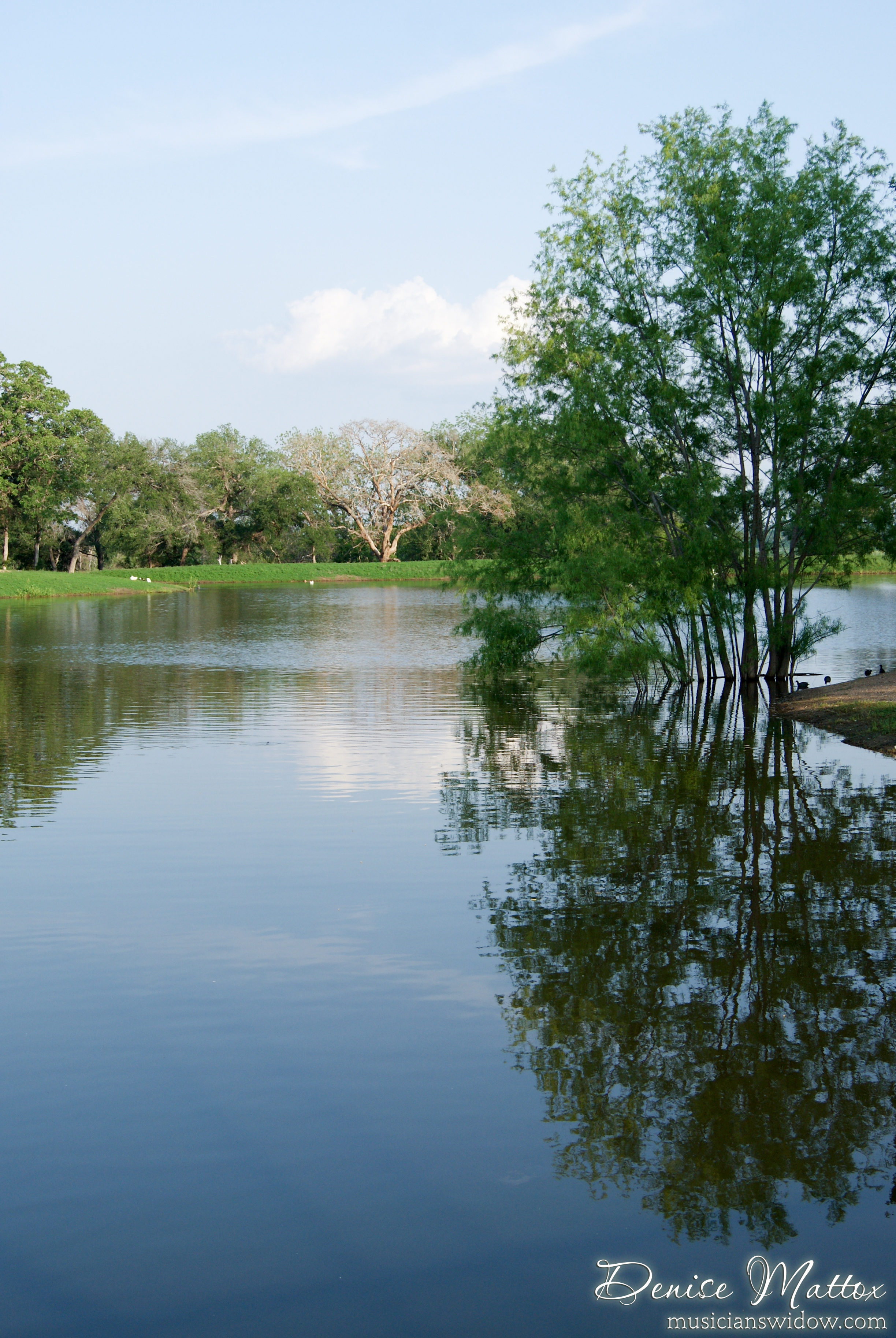
Stock pond greenery

Cameron, TX

iPhone Album -

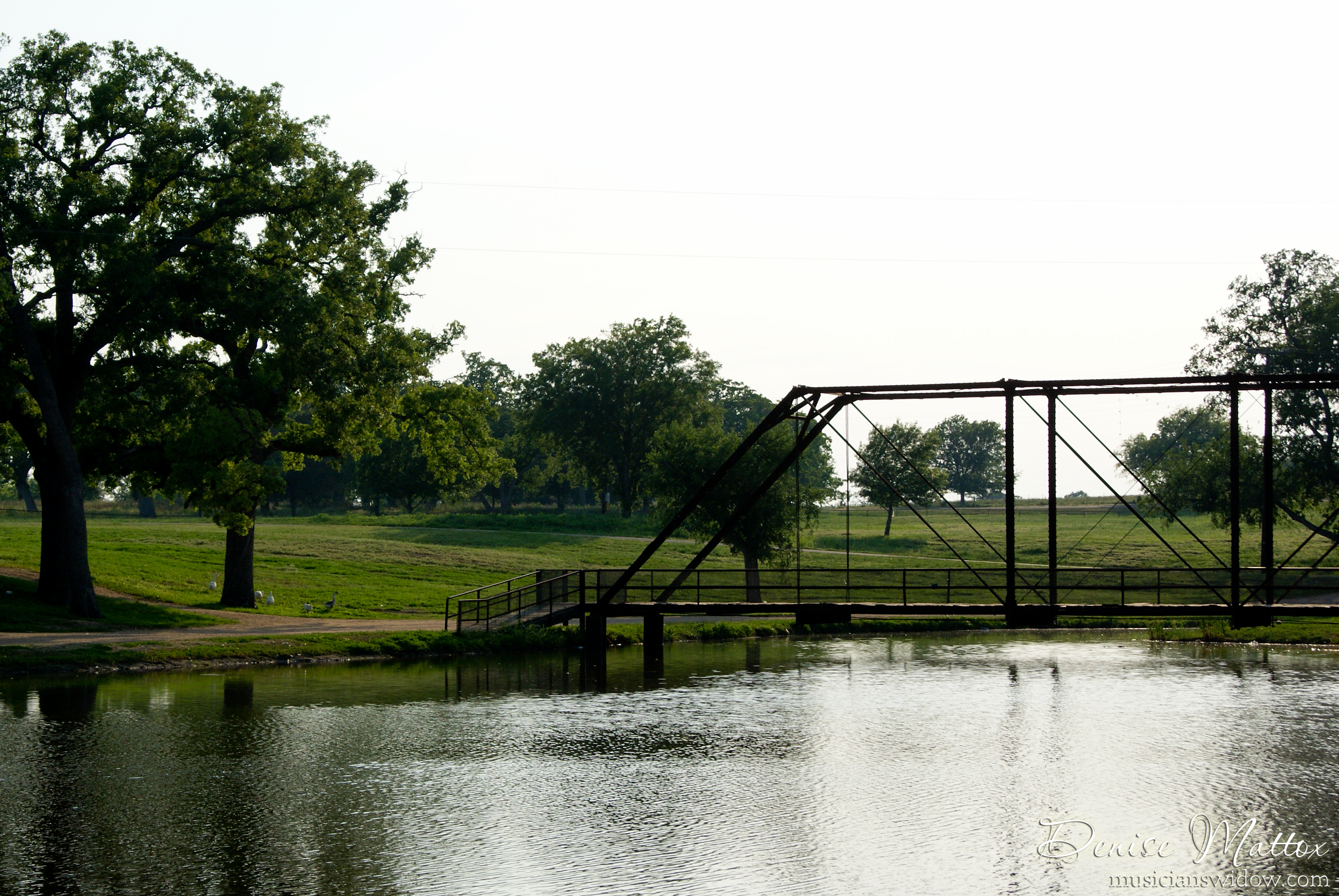
Ledbetter Park
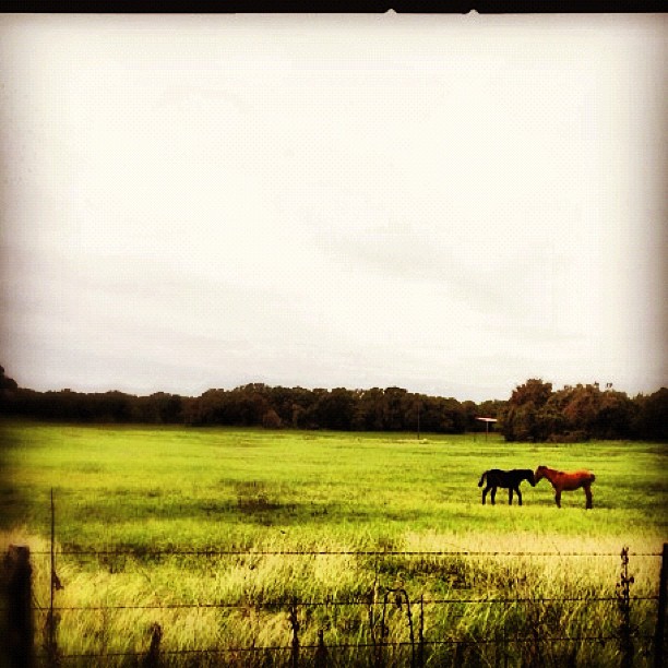
Horse Kiss

Trailer Queen

Ledbetter Park

Ledbetter Park

Ledbetter Park
Ledbetter Park

090: Grazing in a field of green
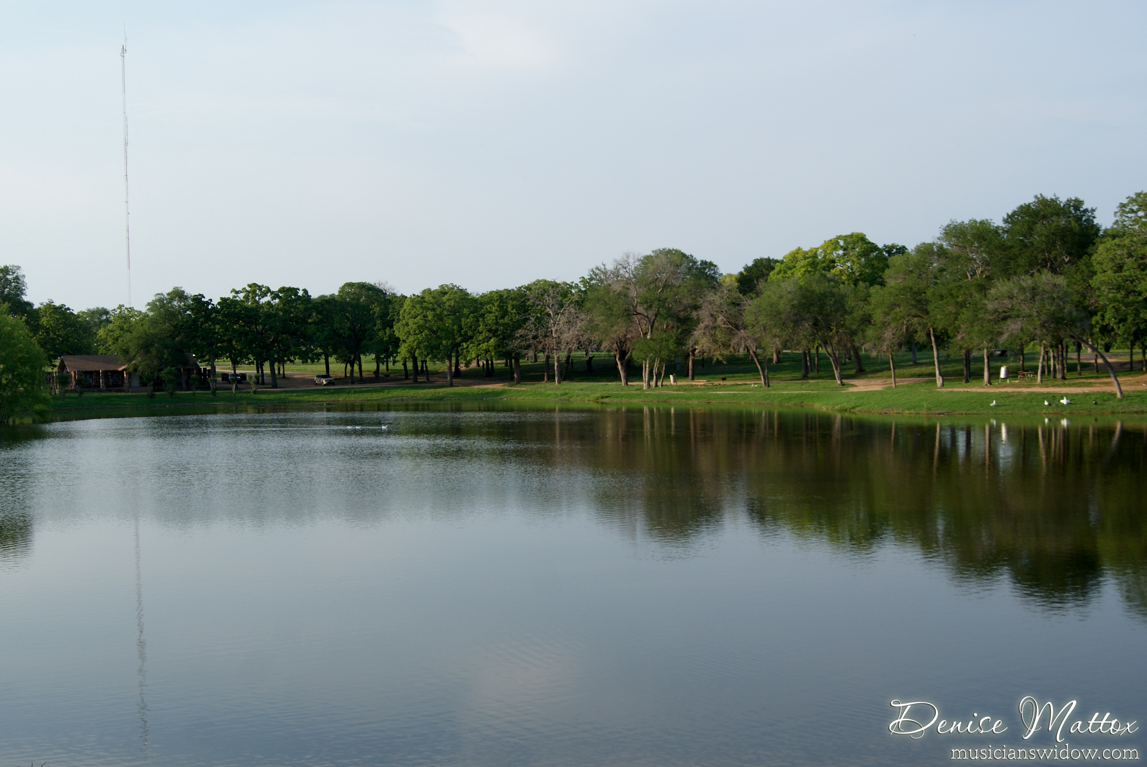
Ledbetter Park
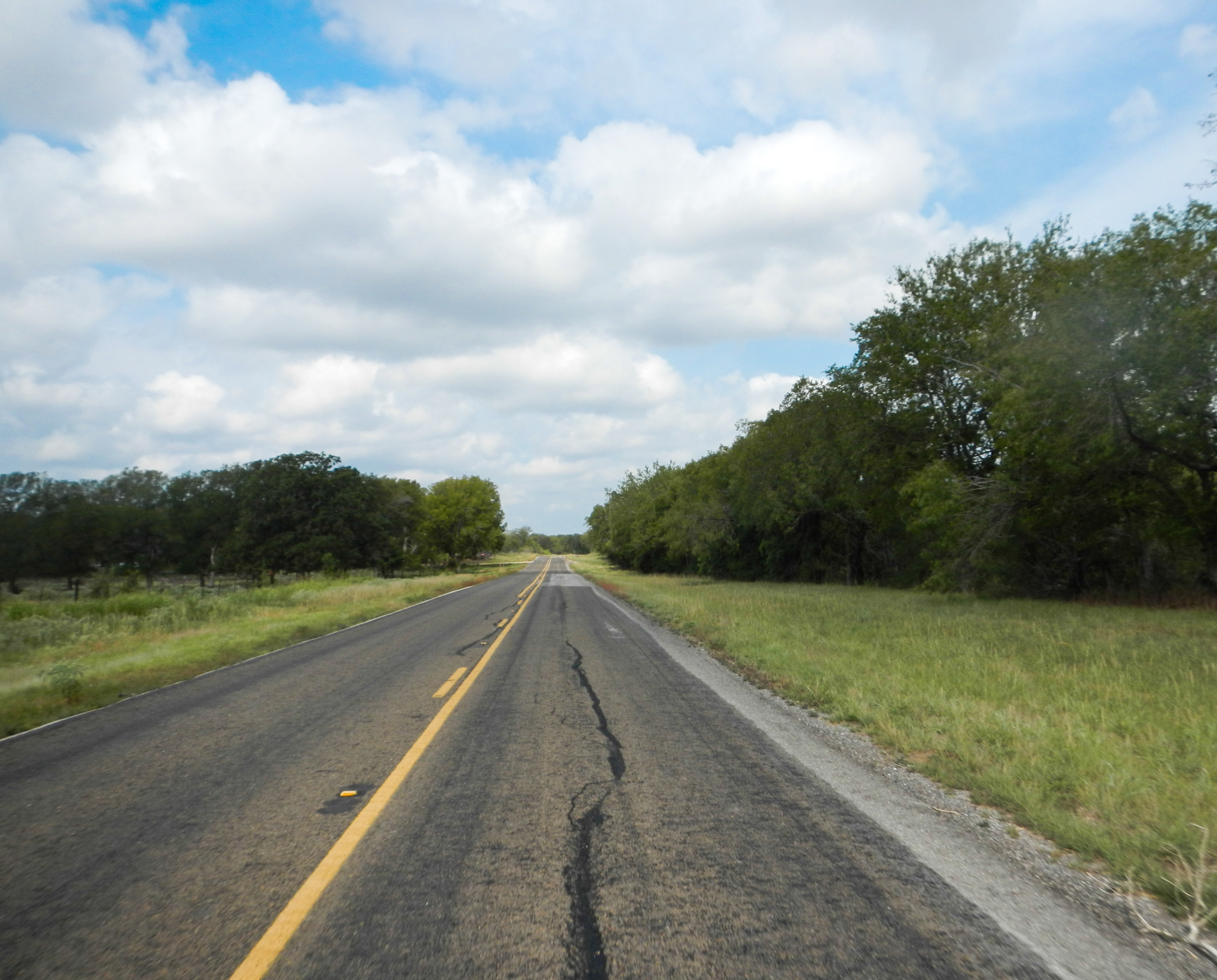
Lonely Road

Ledbetter Park
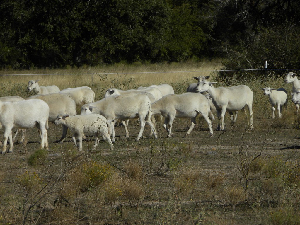
Sheep herd
Ledbetter Park

Little River over flood stage
Topographic Map of US-77, Cameron, TX, USA
Find elevation by address:

Places near US-77, Cameron, TX, USA:
Milam County
Cameron
1703 W 8th St
1708 W 8th St
303 E 16th St
305 E 17th St
Rockdale
Industrial Blvd, Cameron, TX, USA
Milano
994 Tx-36
FM, Gause, TX, USA
Cr, Lexington, TX, USA
FM, Cameron, TX, USA
Caldwell, TX, USA
Lexington
528 Hale St
Co Rd, Caldwell, TX, USA
4805 Co Rd 339
FM, Hearne, TX, USA
Caldwell
Recent Searches:
- Elevation of Dog Leg Dr, Minden, NV, USA
- Elevation of Dog Leg Dr, Minden, NV, USA
- Elevation of Kambingan Sa Pansol Atbp., Purok 7 Pansol, Candaba, Pampanga, Philippines
- Elevation of Pinewood Dr, New Bern, NC, USA
- Elevation of Mountain View, CA, USA
- Elevation of Foligno, Province of Perugia, Italy
- Elevation of Blauwestad, Netherlands
- Elevation of Bella Terra Blvd, Estero, FL, USA
- Elevation of Estates Loop, Priest River, ID, USA
- Elevation of Woodland Oak Pl, Thousand Oaks, CA, USA