Elevation of Rockdale, TX, USA
Location: United States > Texas > Milam County >
Longitude: -97.001374
Latitude: 30.6554759
Elevation: 143m / 469feet
Barometric Pressure: 100KPa
Elevation Map:
Satellite Map:
Related Photos:

The view of Wolf Park from the depot museum

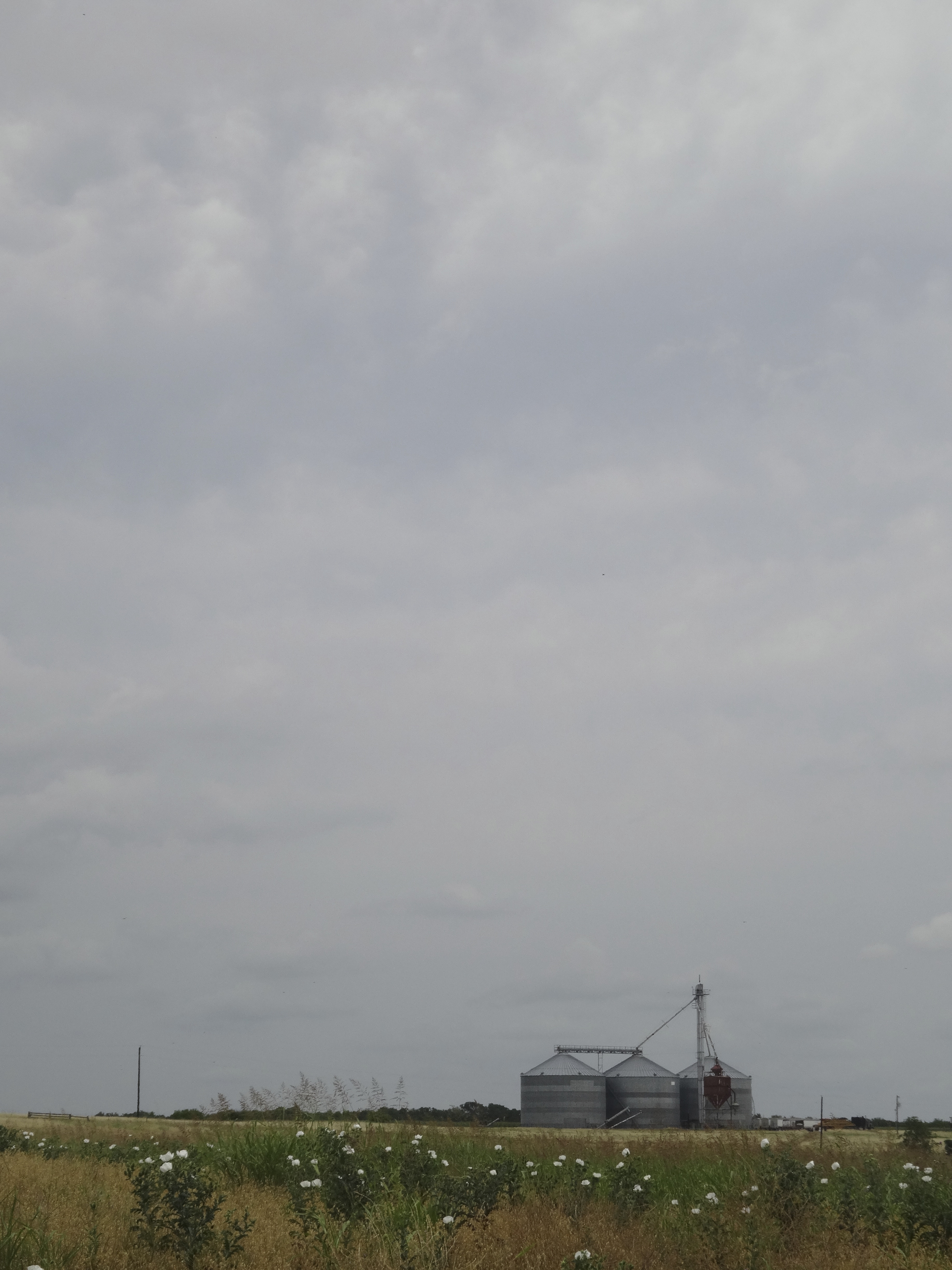
View from Rt 79, east Texas
View from the site
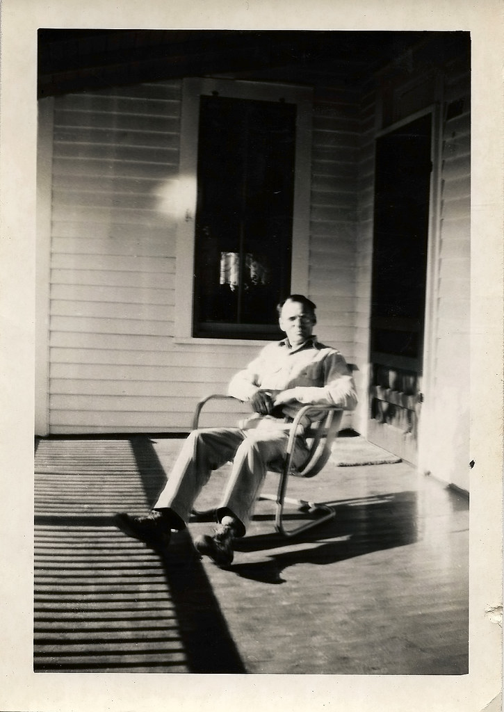
Robert on the porch

Trailer Queen

Flipside 2014 - By Lurko's Beard
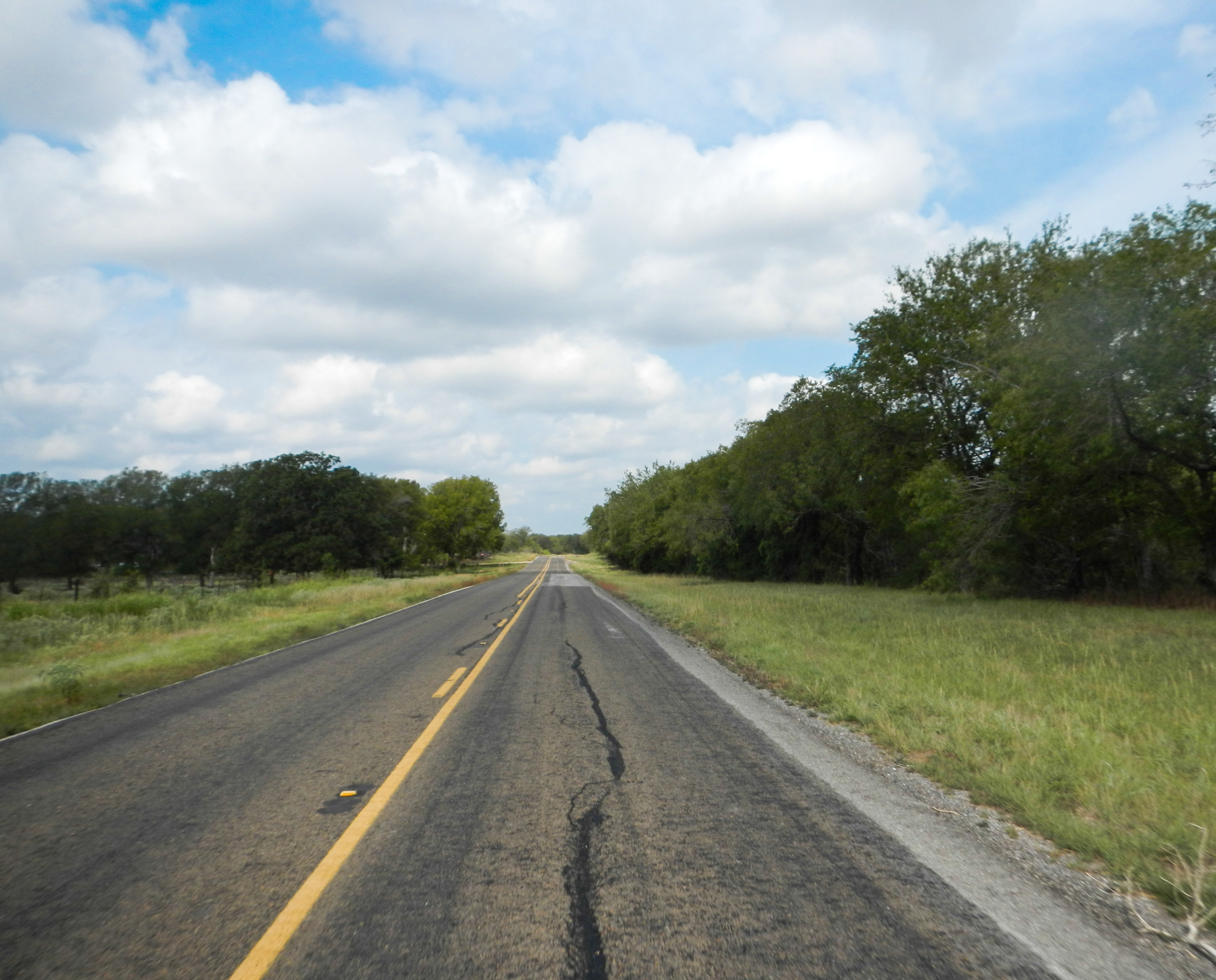
Lonely Road

Apache Passtures land recon

Apache Passtures land recon

Apache Passtures land recon

Apache Passtures land recon

iPhone Album -

All in the Name of
Topographic Map of Rockdale, TX, USA
Find elevation by address:

Places in Rockdale, TX, USA:
Places near Rockdale, TX, USA:
US-77, Cameron, TX, USA
Cr, Lexington, TX, USA
Milano
Milam County
994 Tx-36
Cameron
1703 W 8th St
1708 W 8th St
303 E 16th St
305 E 17th St
Industrial Blvd, Cameron, TX, USA
FM, Gause, TX, USA
Lexington
528 Hale St
Co Rd, Caldwell, TX, USA
Caldwell, TX, USA
Buzzard Knobs
Caldwell
FM, Cameron, TX, USA
Dime Box
Recent Searches:
- Elevation of 62 Abbey St, Marshfield, MA, USA
- Elevation of Fernwood, Bradenton, FL, USA
- Elevation of Felindre, Swansea SA5 7LU, UK
- Elevation of Leyte Industrial Development Estate, Isabel, Leyte, Philippines
- Elevation of W Granada St, Tampa, FL, USA
- Elevation of Pykes Down, Ivybridge PL21 0BY, UK
- Elevation of Jalan Senandin, Lutong, Miri, Sarawak, Malaysia
- Elevation of Bilohirs'k
- Elevation of 30 Oak Lawn Dr, Barkhamsted, CT, USA
- Elevation of Luther Road, Luther Rd, Auburn, CA, USA