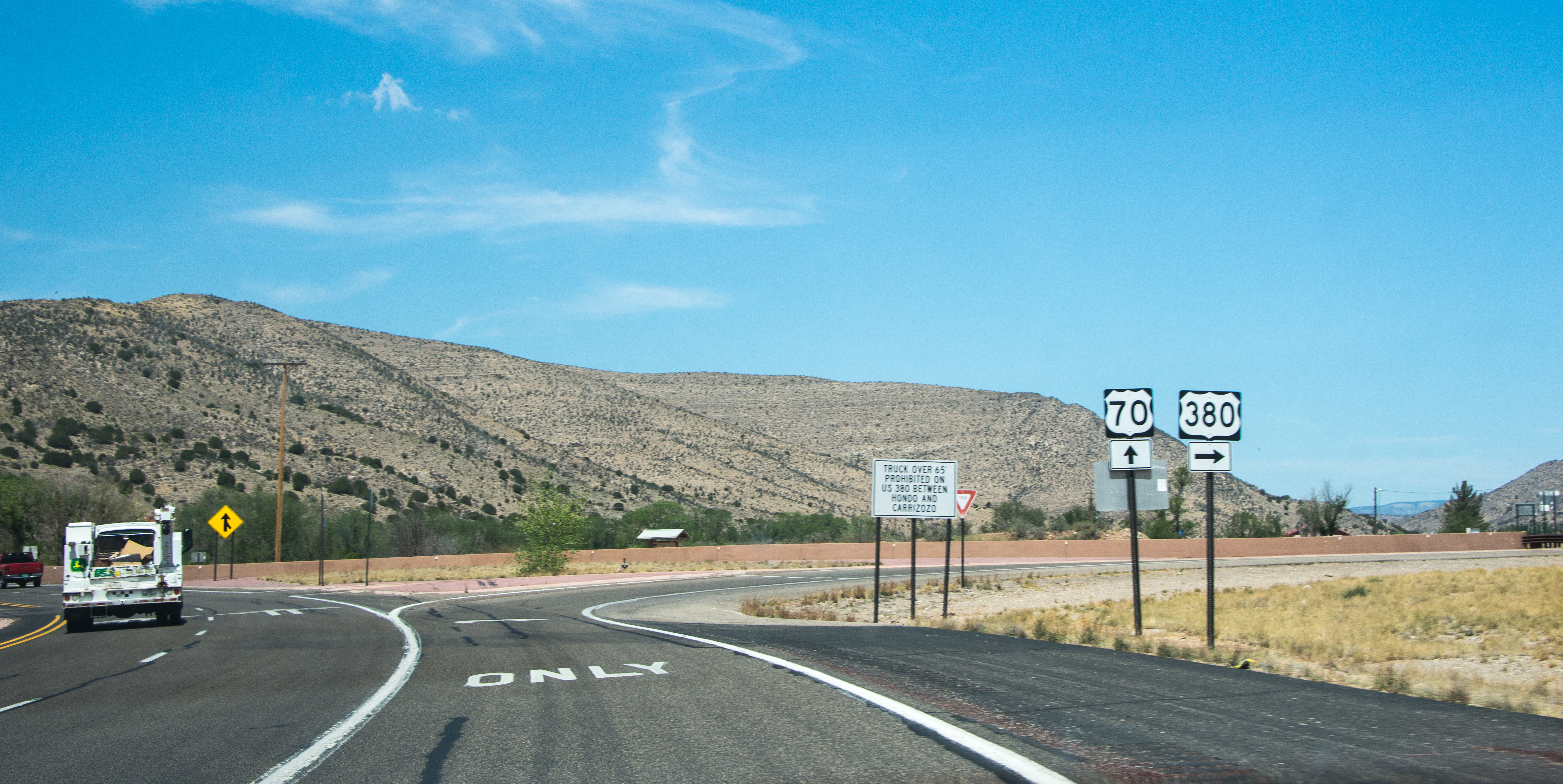
Elevation of US-70, Hondo, NM, USA
Location: United States > New Mexico > Lincoln County > Hondo >
Longitude: -105.25605
Latitude: 33.3805821
Elevation: 1600m / 5249feet
Barometric Pressure: 84KPa
Elevation Map:
Satellite Map:
Related Photos:

San Patricio, NM 2439a
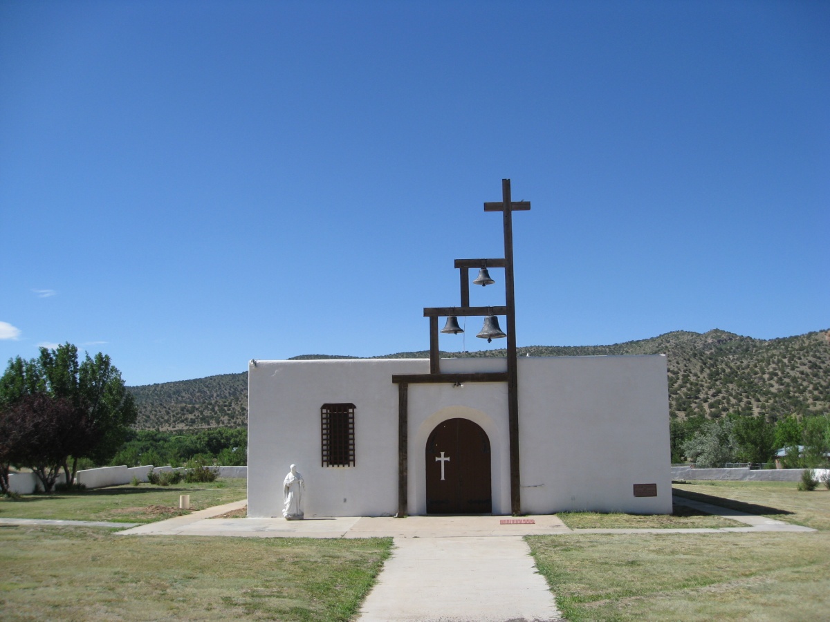
San Patricio, NM 2440a
San Patricio, NM 2441a
San Patricio, NM 2442a

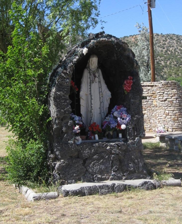
Hondo sculputure. a closer view
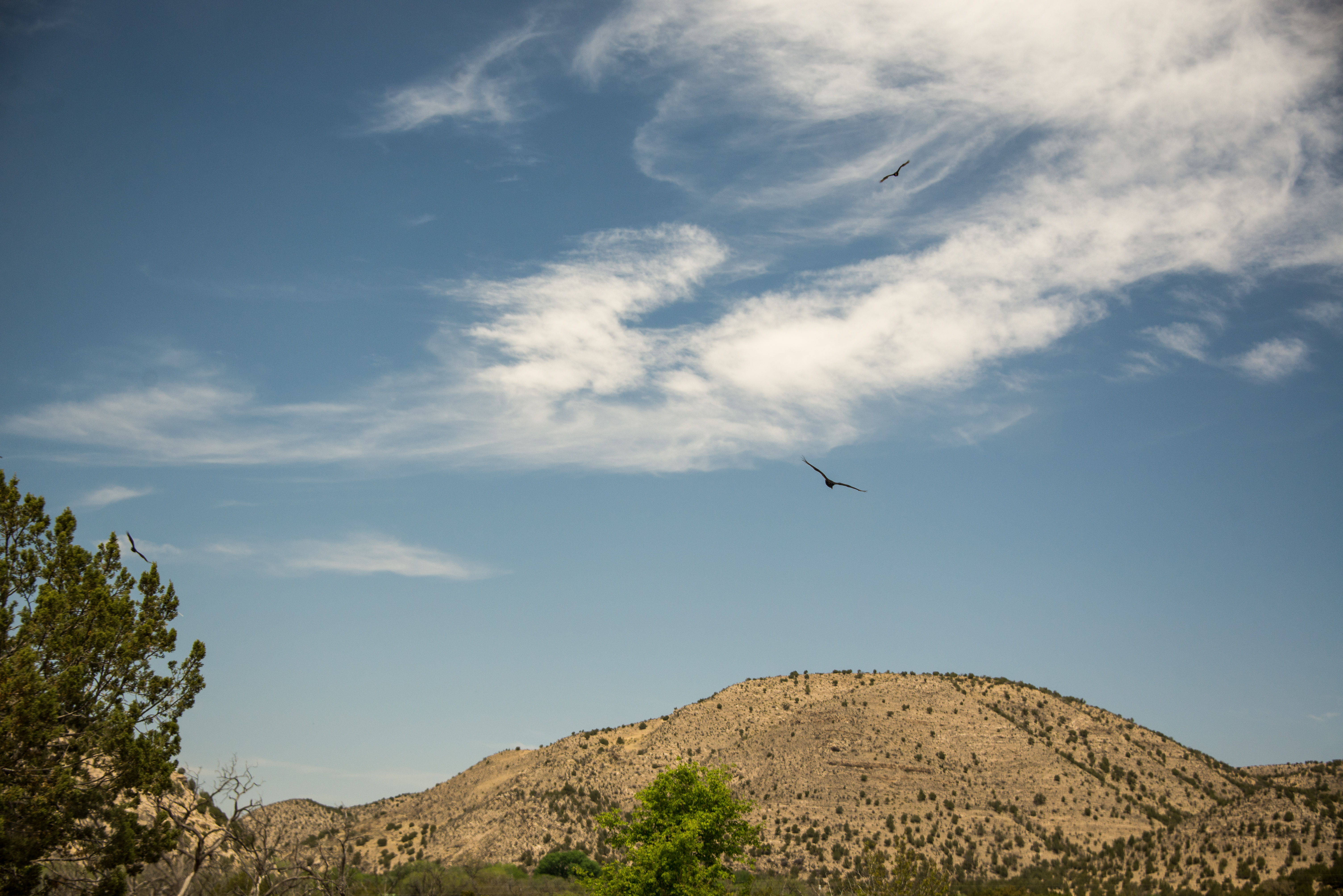
Buzzard over Billy the Kid Trail
Billy the Kid Trail starts here

Motor home

Winnebago and wheelchair

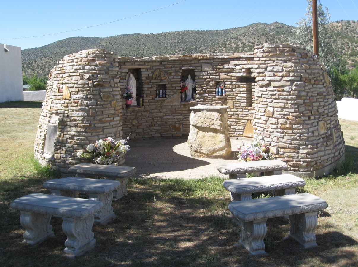
Forgive in hondo New Mexico

Outside of Roswell

Antique Cash Register (FC)
Topographic Map of US-70, Hondo, NM, USA
Find elevation by address:

Places near US-70, Hondo, NM, USA:
Rio Bonito
Hondo
Tinnie
San Patricio
Lincoln
9666 Us-380
Glencoe
Sunset Peak
Capitan Peak
Pajarita Mountain
Capitan Mountains Hp
Elk
308 S Union Ave
6 Hillcrest St
Albertsons Market
Lechegilla Rd, Hope, NM, USA
Roswell Museum & Art Center
Roswell
476 Co Rd 13
Roswell International Air Center
Recent Searches:
- Elevation of 6 Rue Jules Ferry, Beausoleil, France
- Elevation of Sattva Horizon, 4JC6+G9P, Vinayak Nagar, Kattigenahalli, Bengaluru, Karnataka, India
- Elevation of Great Brook Sports, Gold Star Hwy, Groton, CT, USA
- Elevation of 10 Mountain Laurels Dr, Nashua, NH, USA
- Elevation of 16 Gilboa Ln, Nashua, NH, USA
- Elevation of Laurel Rd, Townsend, TN, USA
- Elevation of 3 Nestling Wood Dr, Long Valley, NJ, USA
- Elevation of Ilungu, Tanzania
- Elevation of Yellow Springs Road, Yellow Springs Rd, Chester Springs, PA, USA
- Elevation of Rēzekne Municipality, Latvia