Elevation of Sunset Peak, New Mexico, USA
Location: United States > New Mexico > Tinnie >
Longitude: -105.23637
Latitude: 33.586474
Elevation: 2750m / 9022feet
Barometric Pressure: 72KPa
Elevation Map:
Satellite Map:
Related Photos:
Road
Sky
Rock

Roswell, NM

Roswell, NM
middle of nowhere
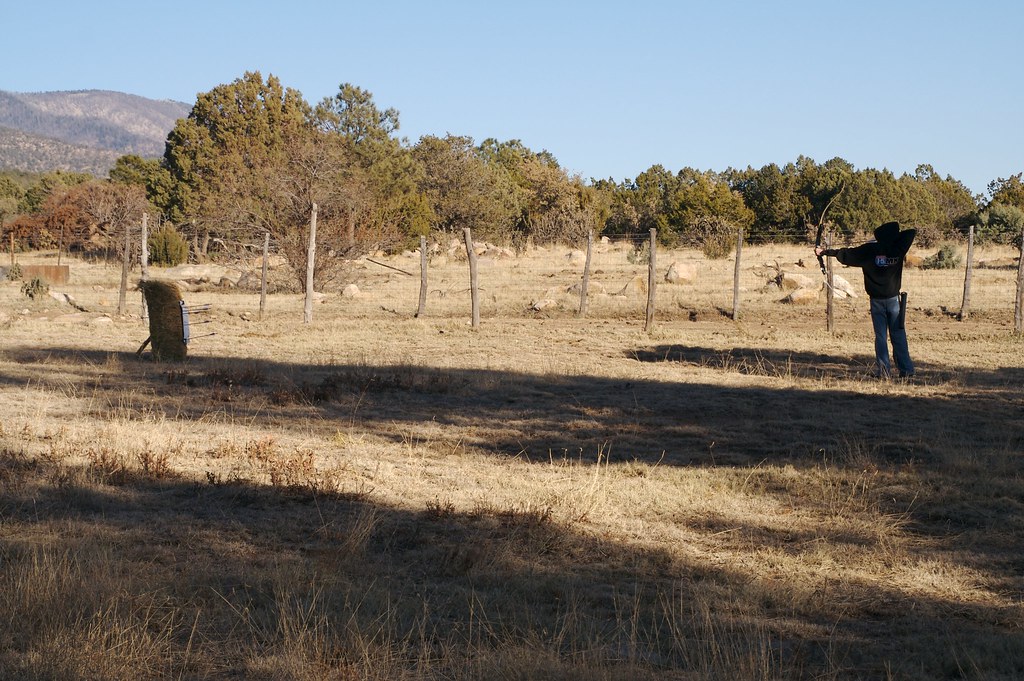
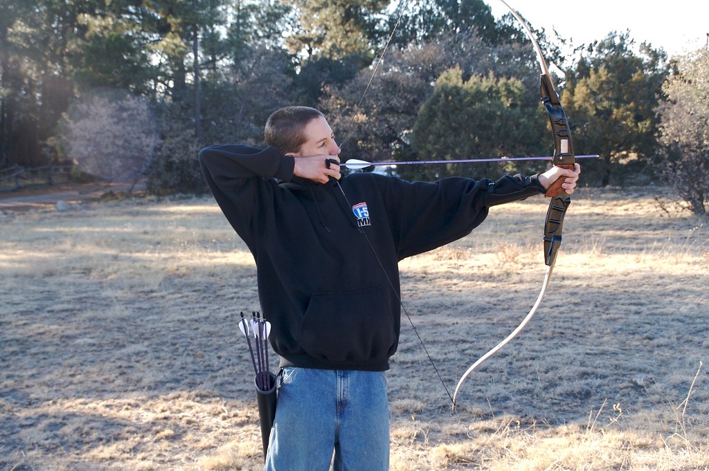
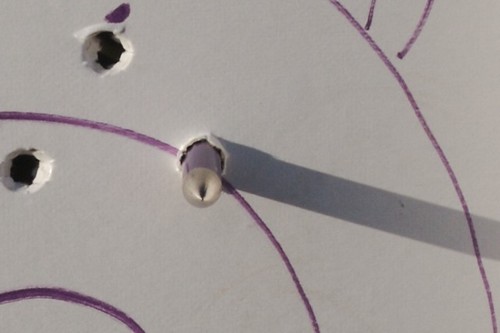
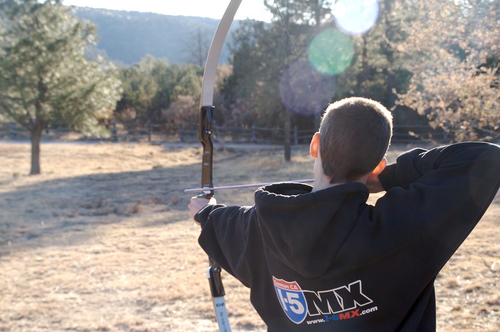
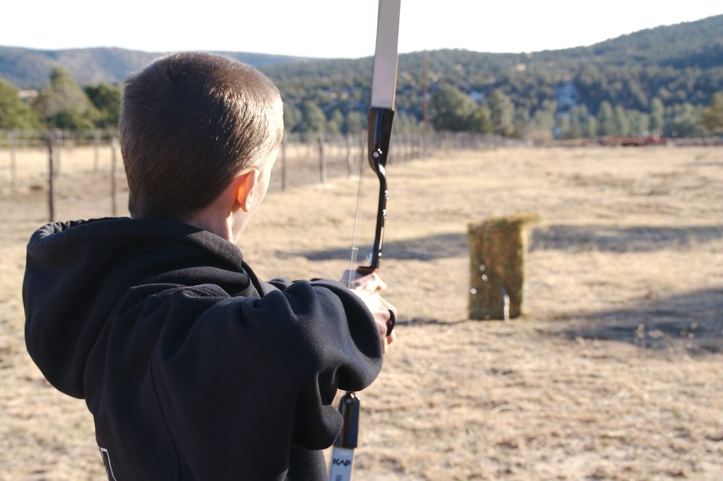
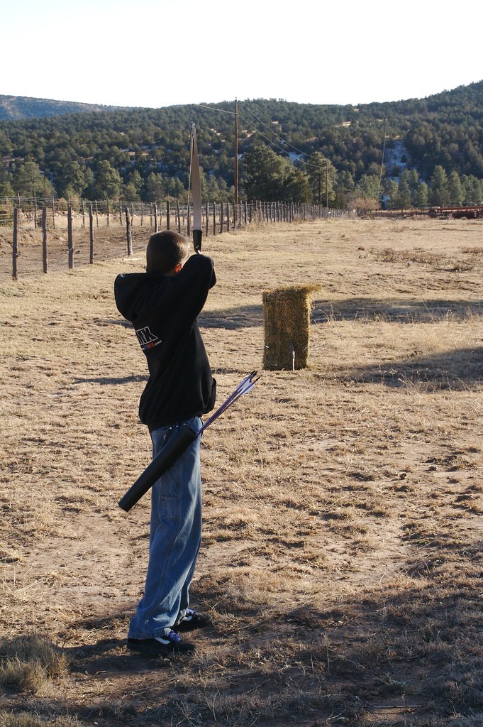
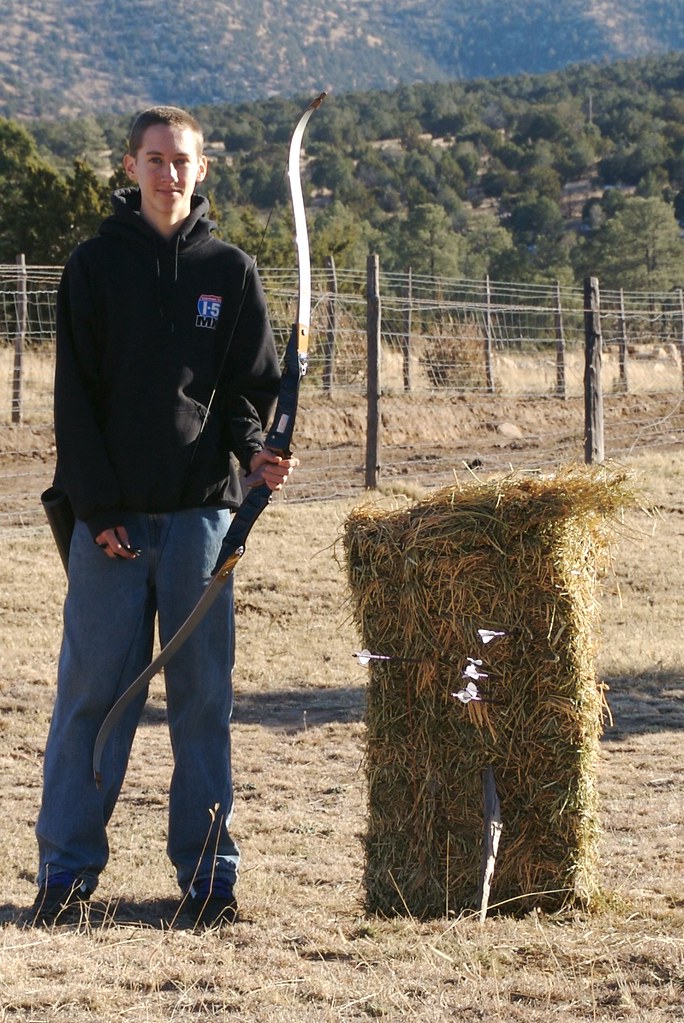
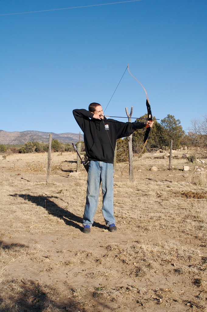
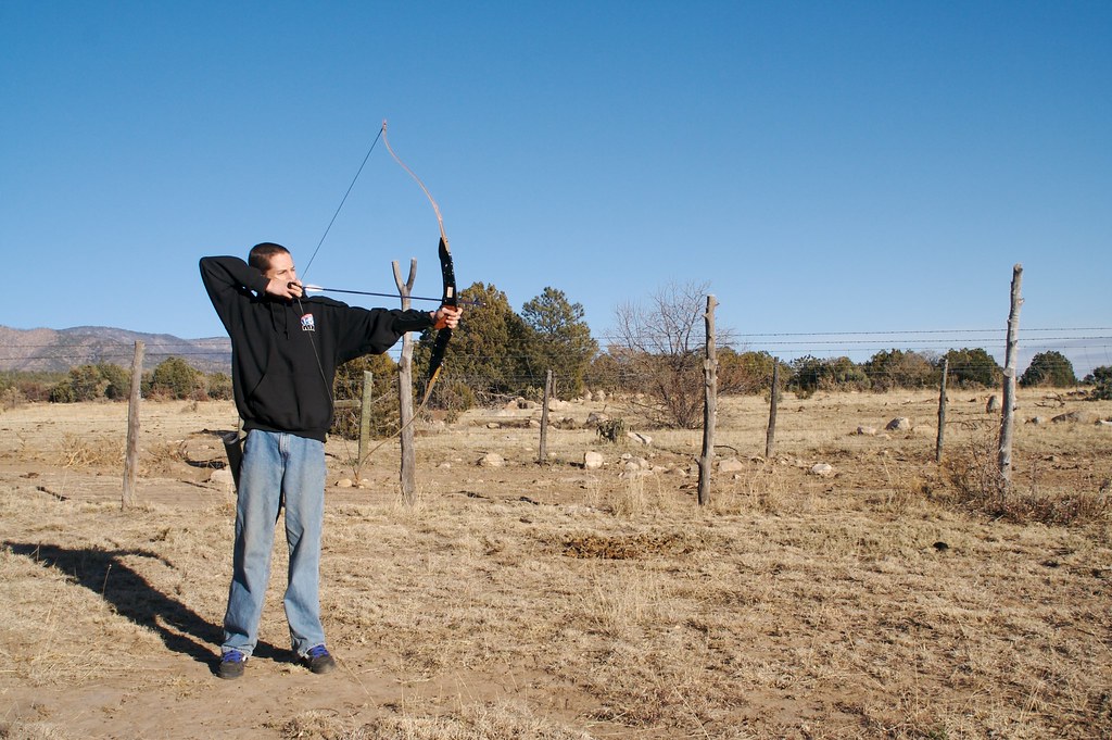
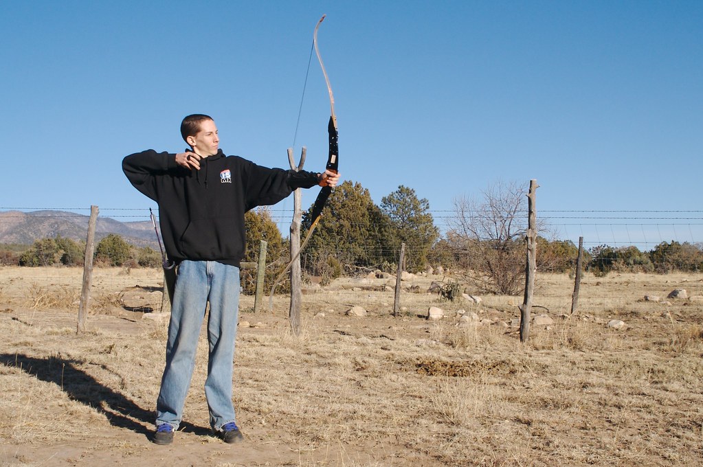
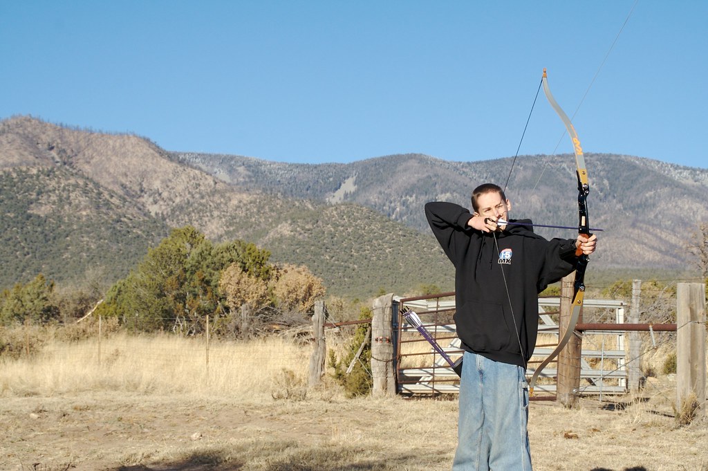
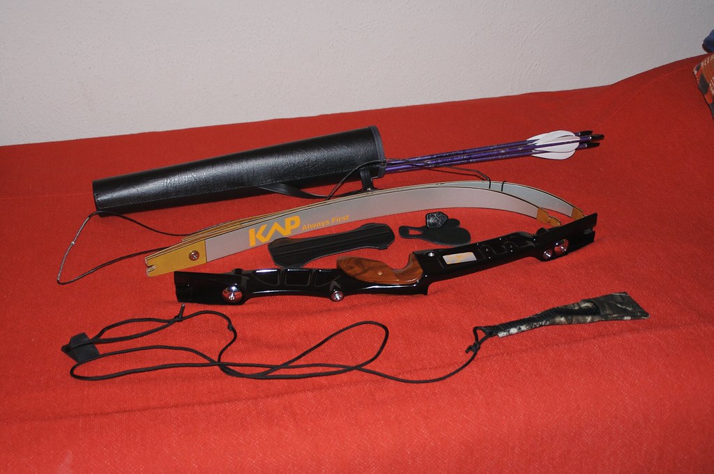
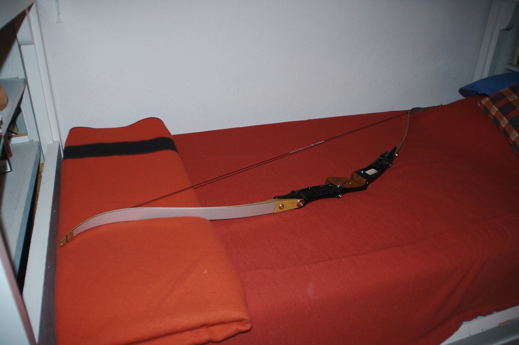
Shooting with my New Bow
Shooting with my New Bow

Shooting with my New Bow
Shooting with my New Bow
Shooting with my New Bow
Shooting with my New Bow
Shooting with my New Bow
Shooting with my New Bow
Shooting with my New Bow
Shooting with my New Bow
Shooting with my New Bow
Shooting with my New Bow
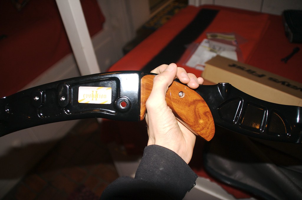
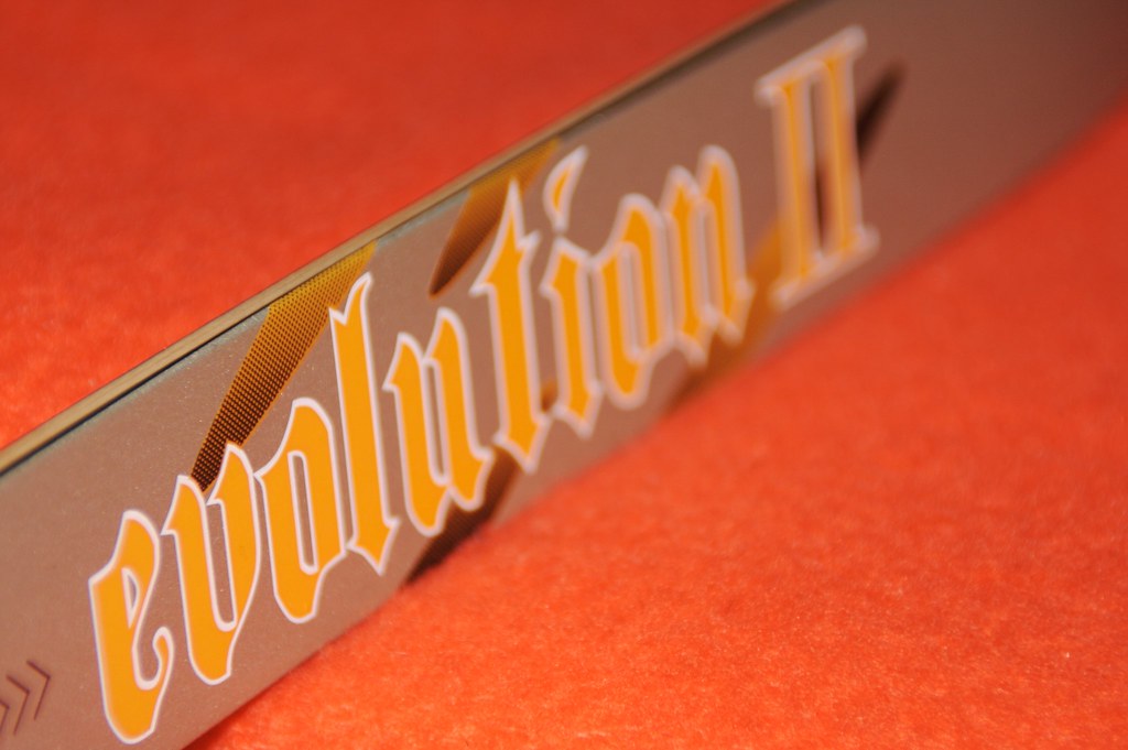
KAP Evolution II
KAP Evolution II
KAP Evolution II

KAP Evolution II
KAP Evolution II

KAP Evolution II
Topographic Map of Sunset Peak, New Mexico, USA
Find elevation by address:

Places near Sunset Peak, New Mexico, USA:
Capitan Peak
Capitan Mountains Hp
Lincoln
9666 Us-380
San Patricio
Hondo
28681 Us-70
Rio Bonito
Tinnie
Glencoe
Pajarita Mountain
Elk
100 Nm-246
6 Hillcrest St
308 S Union Ave
Roswell Museum & Art Center
Roswell
503 Tierra Berrenda Dr
476 Co Rd 13
Albertsons Market
Recent Searches:
- Elevation of Corso Fratelli Cairoli, 35, Macerata MC, Italy
- Elevation of Tallevast Rd, Sarasota, FL, USA
- Elevation of 4th St E, Sonoma, CA, USA
- Elevation of Black Hollow Rd, Pennsdale, PA, USA
- Elevation of Oakland Ave, Williamsport, PA, USA
- Elevation of Pedrógão Grande, Portugal
- Elevation of Klee Dr, Martinsburg, WV, USA
- Elevation of Via Roma, Pieranica CR, Italy
- Elevation of Tavkvetili Mountain, Georgia
- Elevation of Hartfords Bluff Cir, Mt Pleasant, SC, USA