Elevation of US-61, Rolling Fork, MS, USA
Location: United States > Mississippi > Sharkey County > Rolling Fork >
Longitude: -90.903992
Latitude: 32.860957
Elevation: 33m / 108feet
Barometric Pressure: 101KPa
Elevation Map:
Satellite Map:
Related Photos:

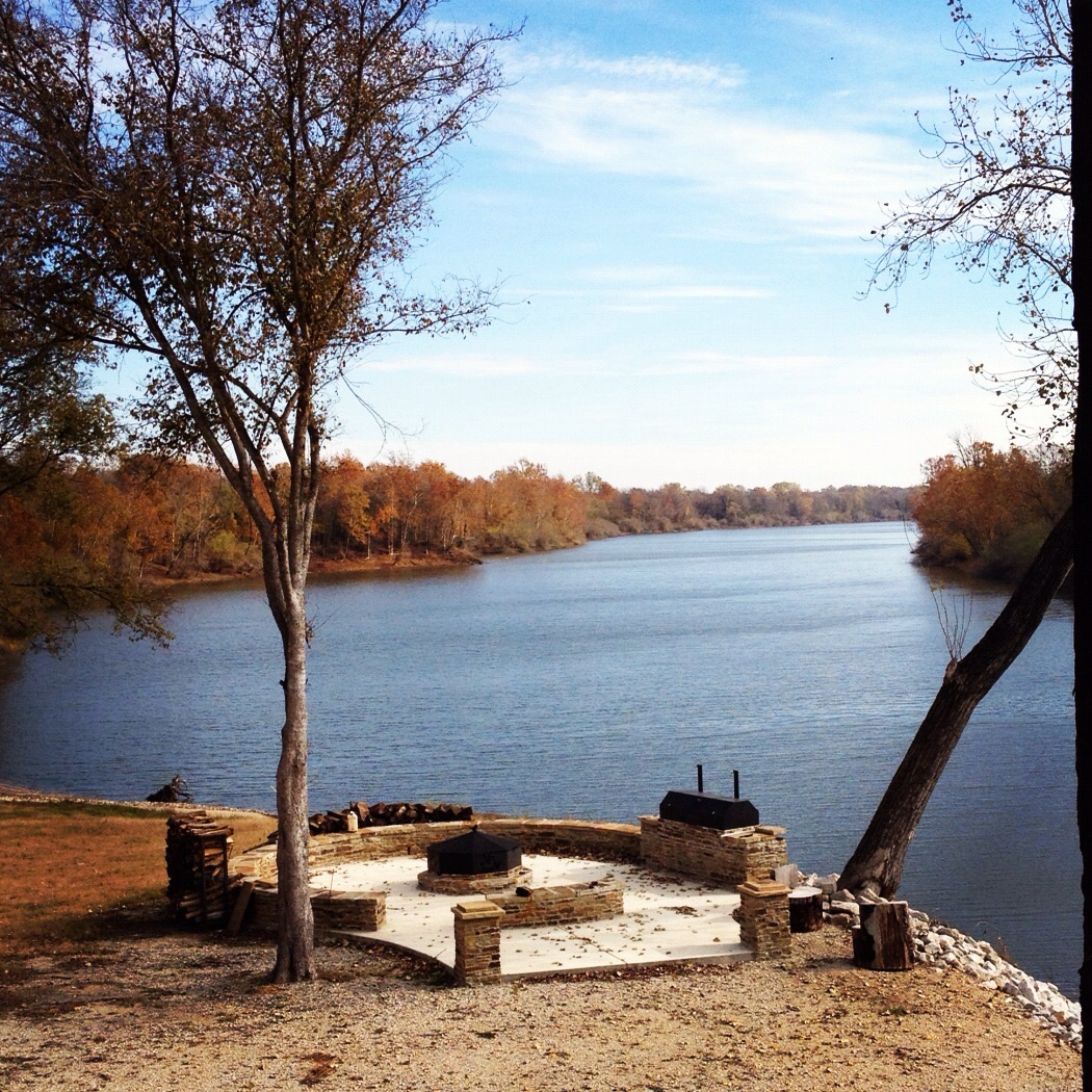
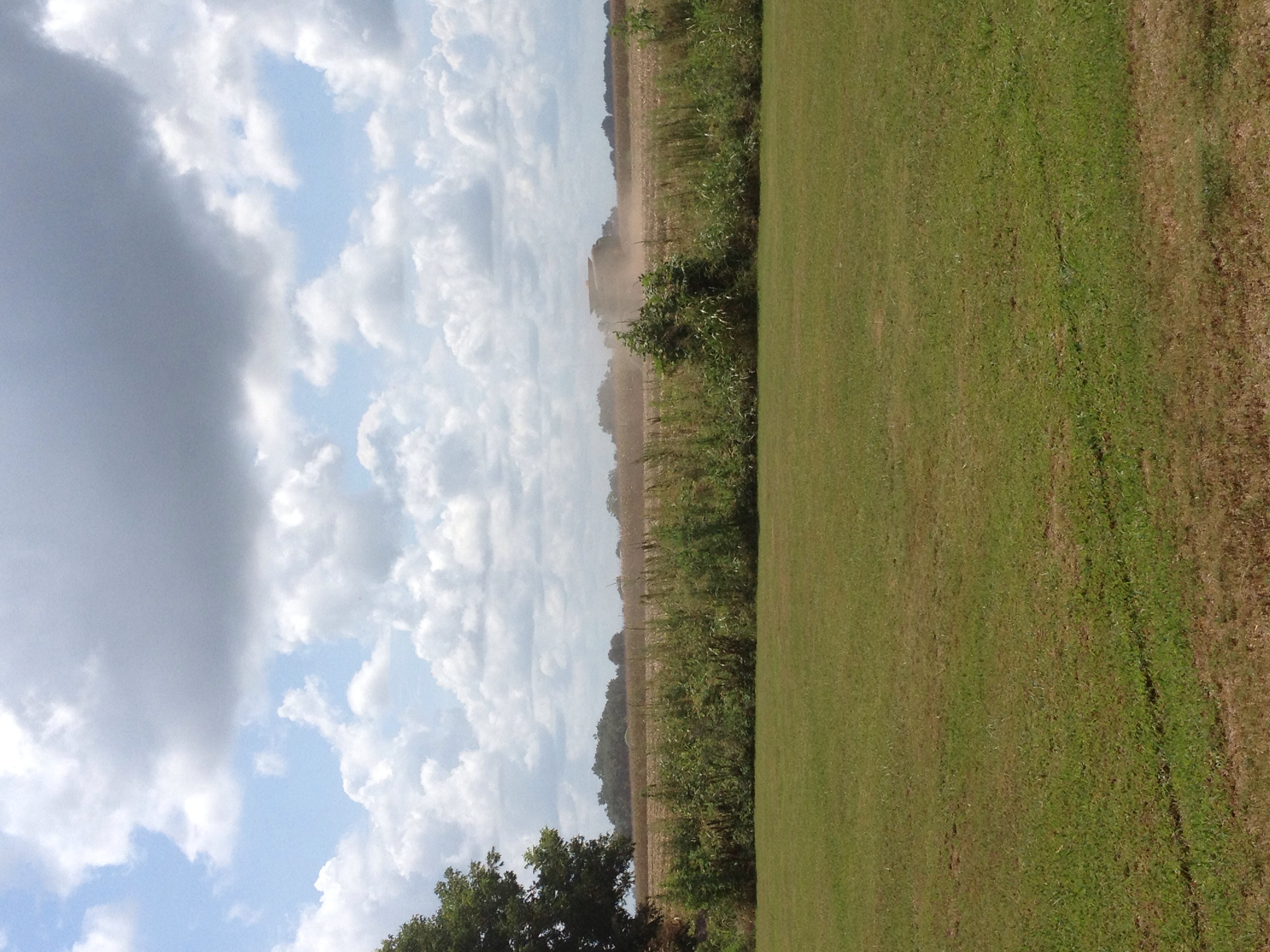
Mont Helena view from over the Corn

Sharkey County Courthouse (Rolling Fork, Mississippi)

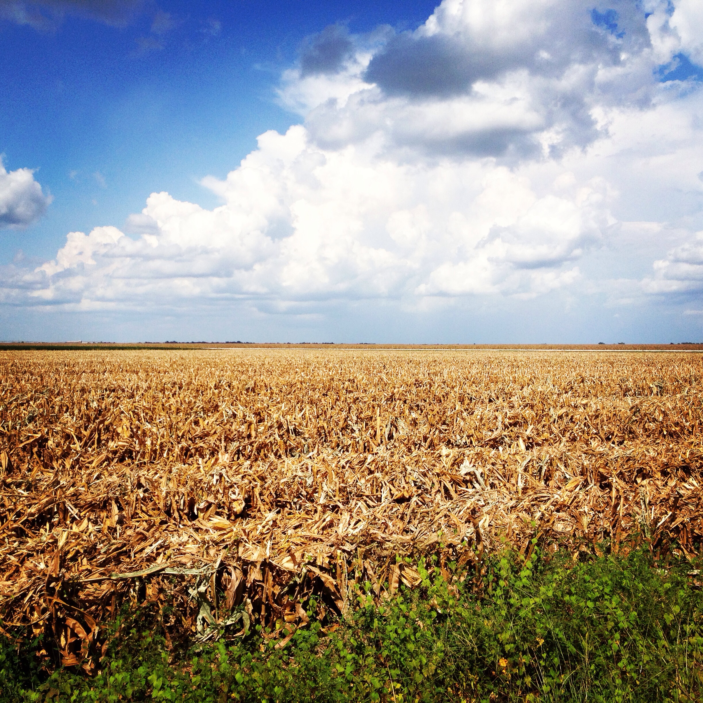
IMAG5328

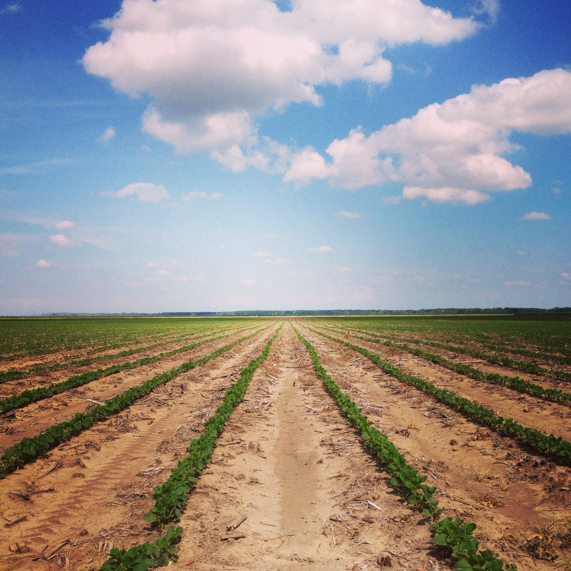
IMAG5336

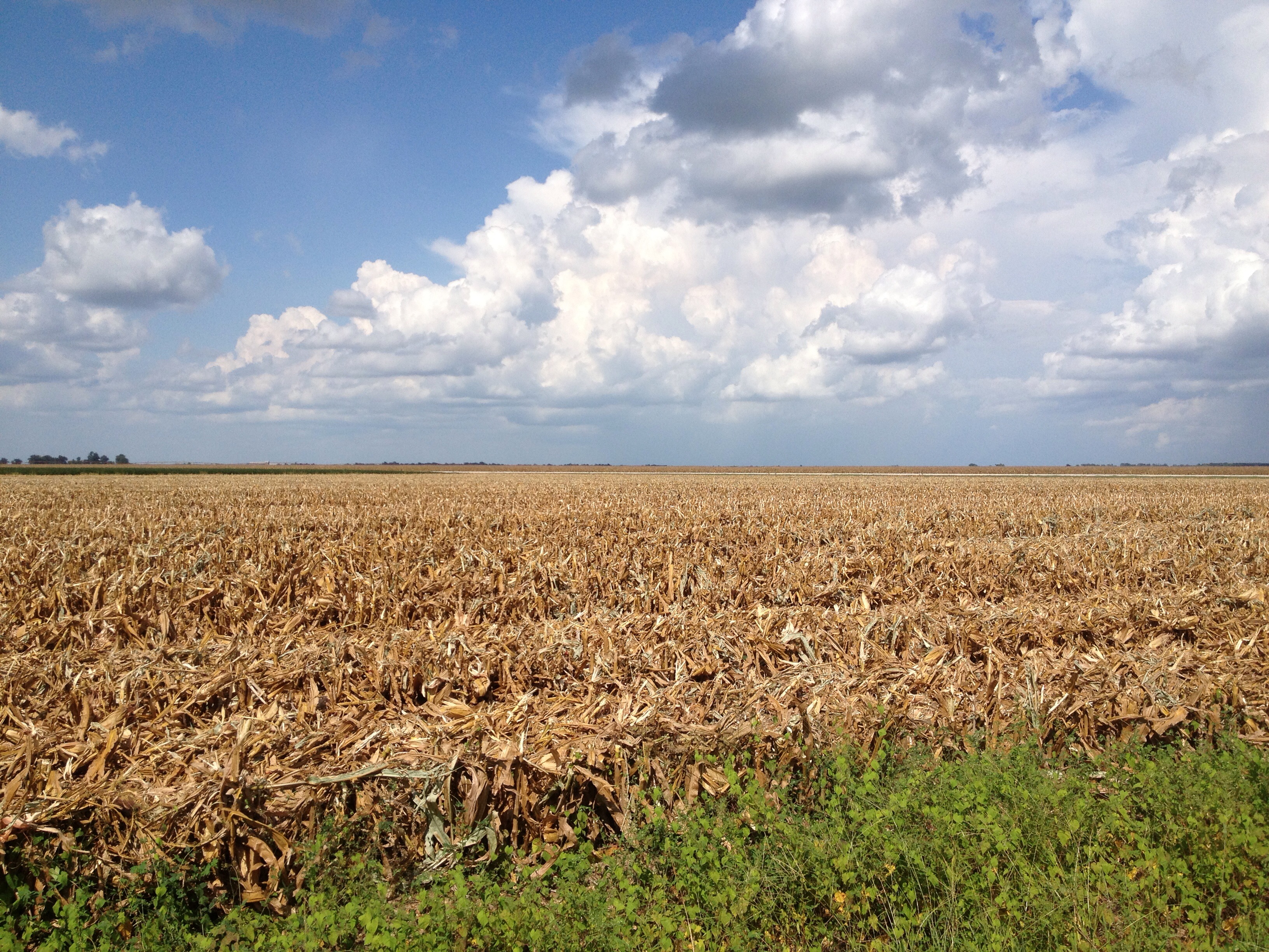
IMAG5335

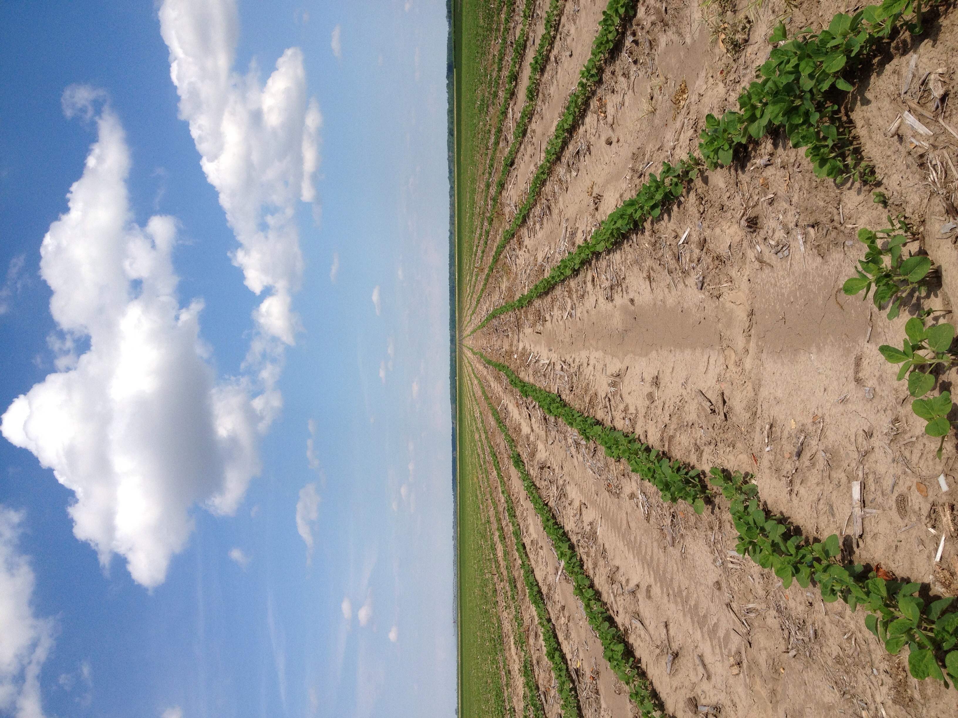


Golden


Topographic Map of US-61, Rolling Fork, MS, USA
Find elevation by address:

Places near US-61, Rolling Fork, MS, USA:
134 6th St
134 Carter Dr
Rolling Fork
Race Street & East Street
Cary
Whiting Bayou
Anguilla
Sharkey County
Mayersville
Sandy Bayou Rd, Anguilla, MS, USA
Campbellville Road
72 Sago Rd, Anguilla, MS, USA
Sharkey Planting Co
Spanish Fort Rd, Holly Bluff, MS, USA
7047 Spanish Fort Rd
7047 Spanish Fort Rd
7047 Spanish Fort Rd
Holly Bluff
150 Holly Bluff Gin Rd
Panther Burn Rd, Anguilla, MS, USA
Recent Searches:
- Elevation of Badaber, Peshawar, Khyber Pakhtunkhwa, Pakistan
- Elevation of SE Heron Loop, Lincoln City, OR, USA
- Elevation of Slanický ostrov, 01 Námestovo, Slovakia
- Elevation of Spaceport America, Co Rd A, Truth or Consequences, NM, USA
- Elevation of Warwick, RI, USA
- Elevation of Fern Rd, Whitmore, CA, USA
- Elevation of 62 Abbey St, Marshfield, MA, USA
- Elevation of Fernwood, Bradenton, FL, USA
- Elevation of Felindre, Swansea SA5 7LU, UK
- Elevation of Leyte Industrial Development Estate, Isabel, Leyte, Philippines