Elevation of 6th St, Rolling Fork, MS, USA
Location: United States > Mississippi > Sharkey County > Rolling Fork >
Longitude: -90.887958
Latitude: 32.898747
Elevation: 34m / 112feet
Barometric Pressure: 101KPa
Elevation Map:
Satellite Map:
Related Photos:

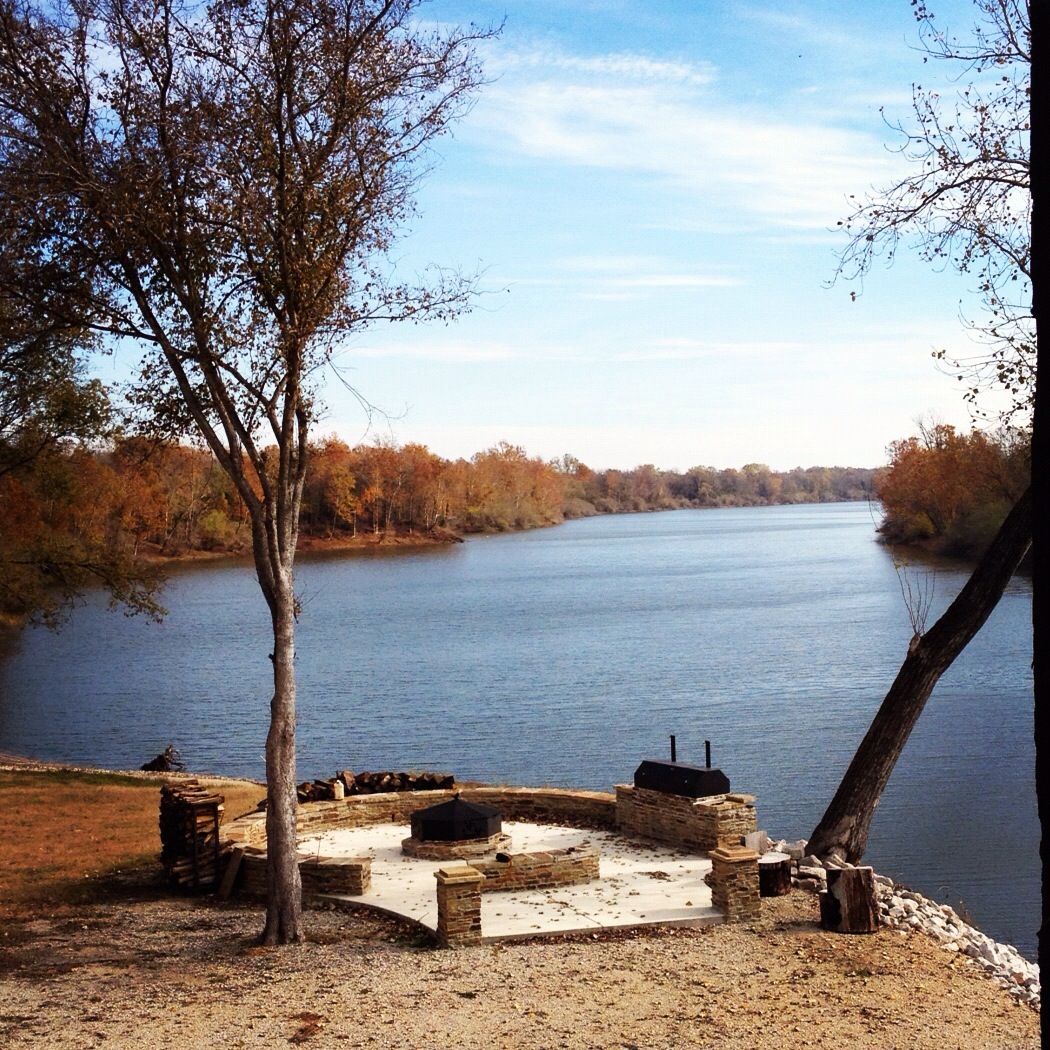
Rolling Fork - Mural

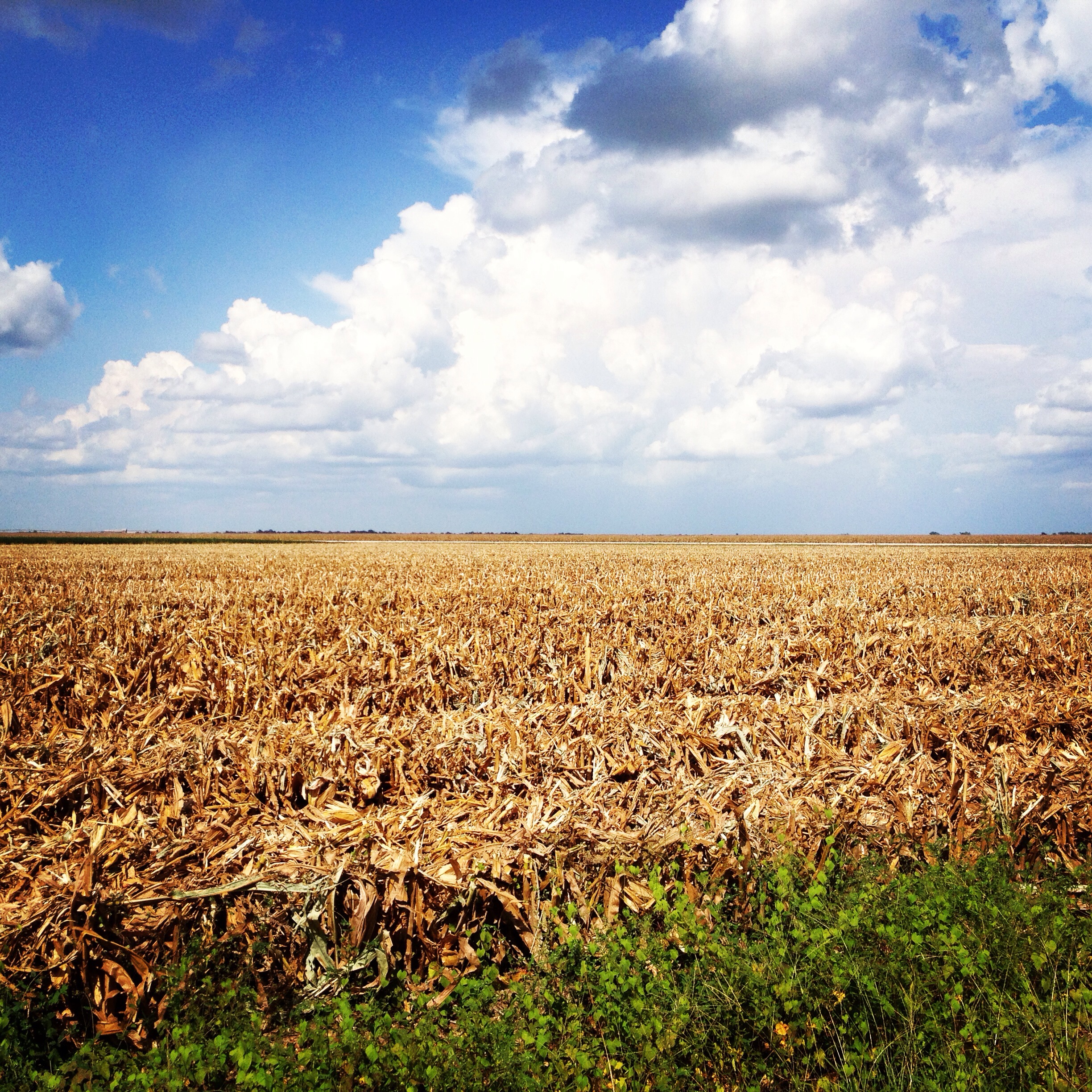
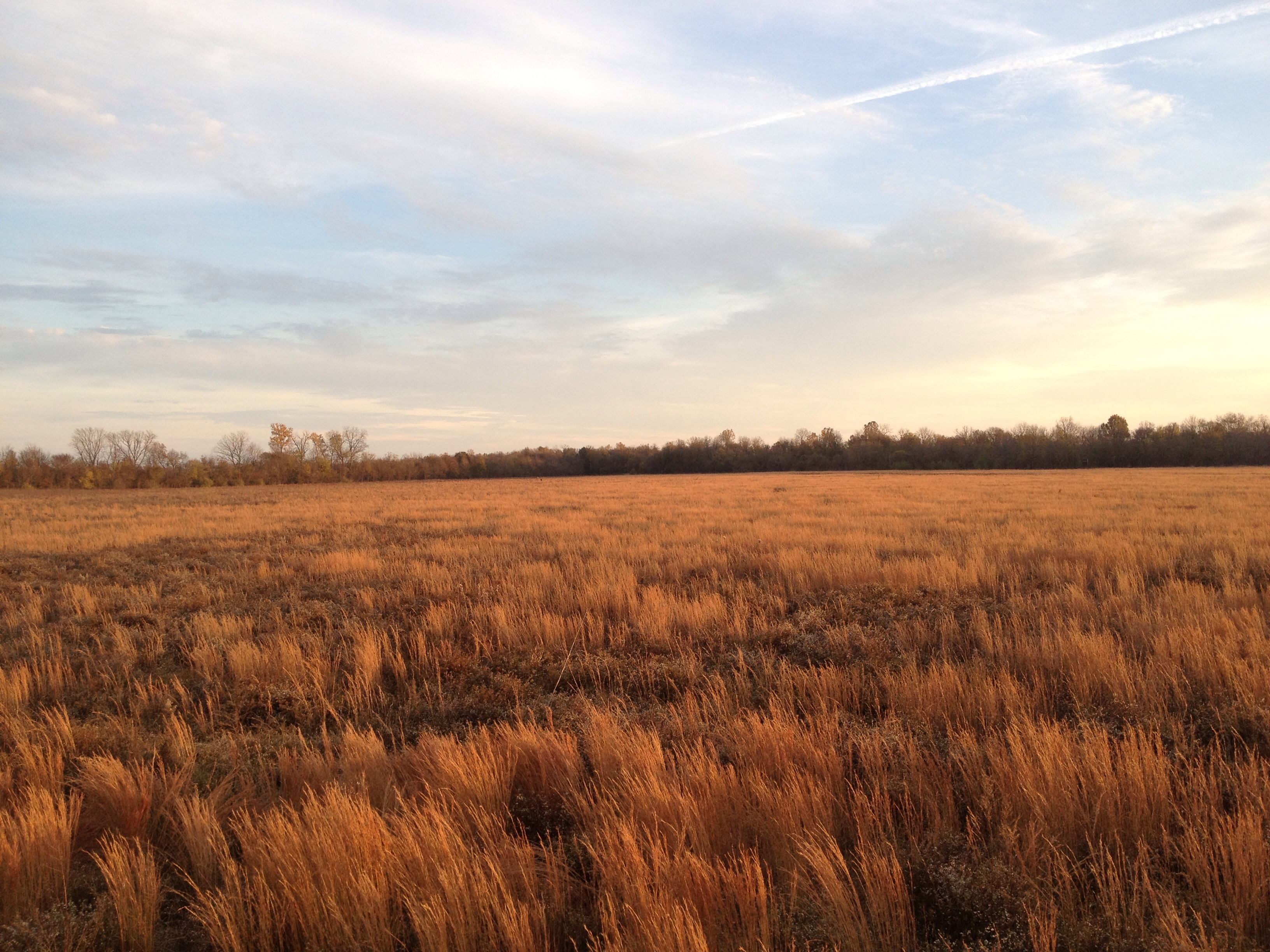
Mont Helena view from over the Corn

Sharkey County Courthouse (Rolling Fork, Mississippi)
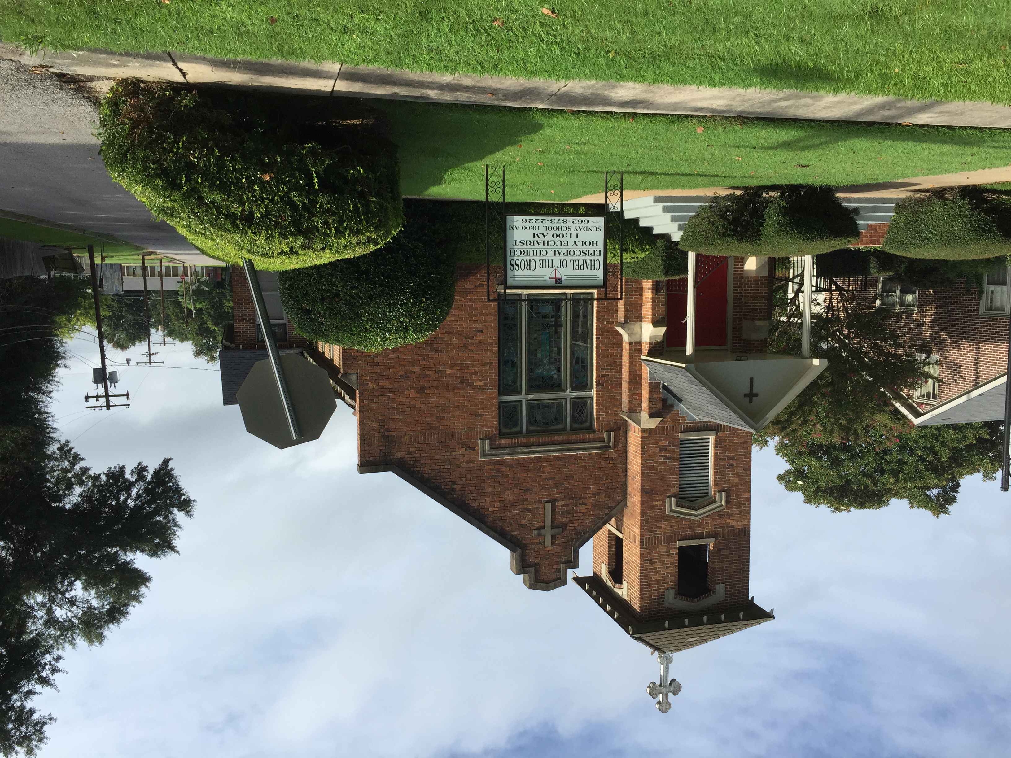
Chapel of the Cross. Rolling Fork, Miss.

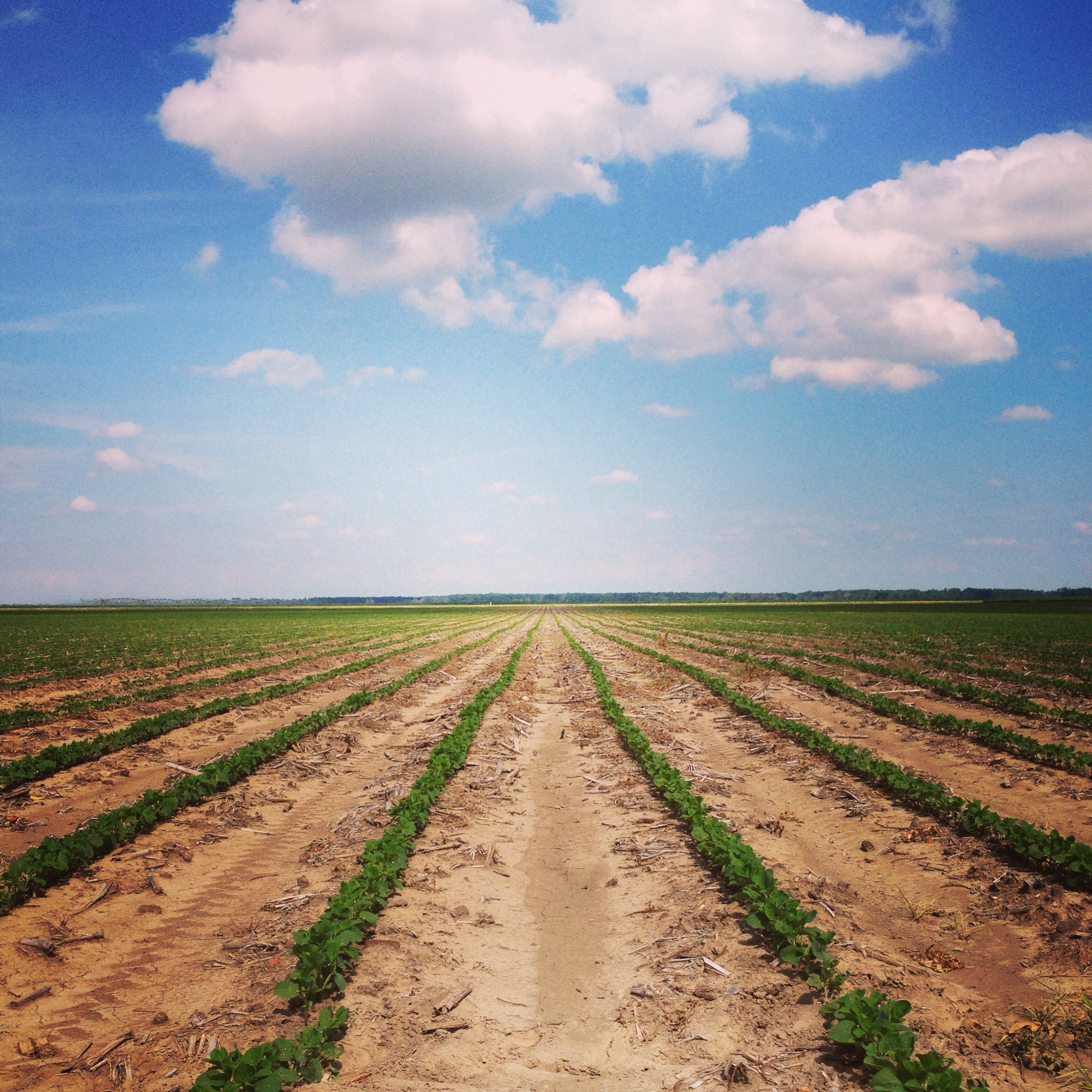
IMAG5335
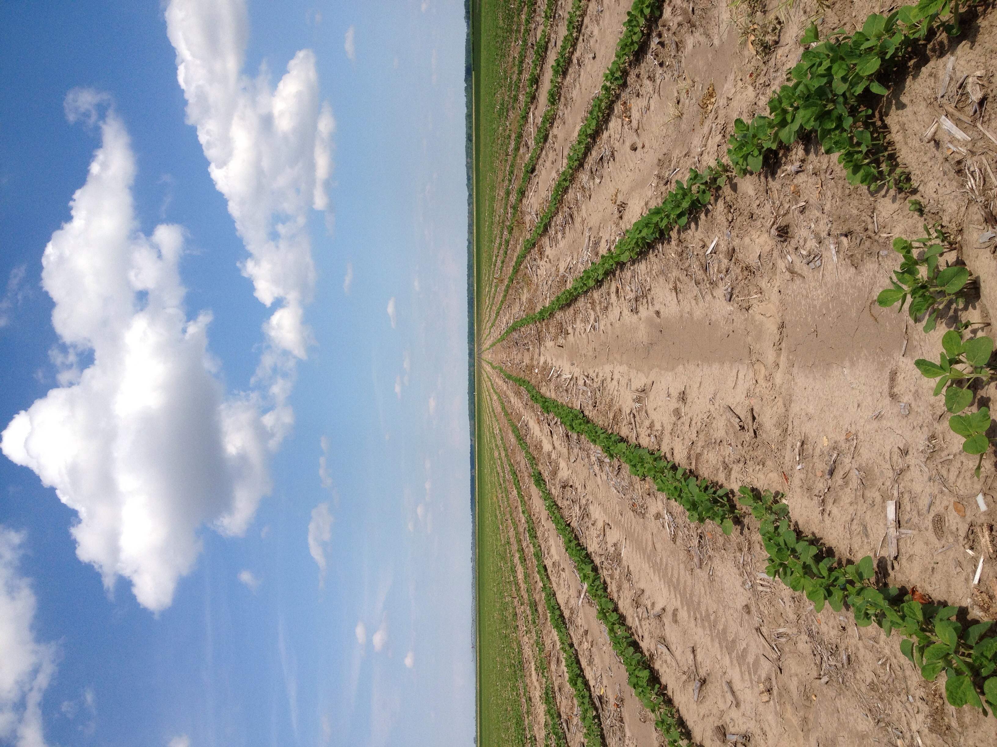

Golden


Topographic Map of 6th St, Rolling Fork, MS, USA
Find elevation by address:

Places near 6th St, Rolling Fork, MS, USA:
134 Carter Dr
Rolling Fork
Race Street & East Street
US-61, Rolling Fork, MS, USA
Anguilla
Cary
Sharkey County
Sandy Bayou Rd, Anguilla, MS, USA
72 Sago Rd, Anguilla, MS, USA
Whiting Bayou
Mayersville
Panther Burn Rd, Anguilla, MS, USA
Campbellville Road
Panther Burn
Sharkey Planting Co
150 Holly Bluff Gin Rd
Holly Bluff
Ritchey Rd, Anguilla, MS, USA
Spanish Fort Rd, Holly Bluff, MS, USA
7047 Spanish Fort Rd
Recent Searches:
- Elevation of Luther Road, Luther Rd, Auburn, CA, USA
- Elevation of Unnamed Road, Respublika Severnaya Osetiya — Alaniya, Russia
- Elevation of Verkhny Fiagdon, North Ossetia–Alania Republic, Russia
- Elevation of F. Viola Hiway, San Rafael, Bulacan, Philippines
- Elevation of Herbage Dr, Gulfport, MS, USA
- Elevation of Lilac Cir, Haldimand, ON N3W 2G9, Canada
- Elevation of Harrod Branch Road, Harrod Branch Rd, Kentucky, USA
- Elevation of Wyndham Grand Barbados Sam Lords Castle All Inclusive Resort, End of Belair Road, Long Bay, Bridgetown Barbados
- Elevation of Iga Trl, Maggie Valley, NC, USA
- Elevation of N Co Rd 31D, Loveland, CO, USA