Elevation of US-61, Red Wing, MN, USA
Location: United States > Minnesota > Goodhue County >
Longitude: -92.436733
Latitude: 44.544816
Elevation: 227m / 745feet
Barometric Pressure: 99KPa
Elevation Map:
Satellite Map:
Related Photos:

Mario Bros Cake

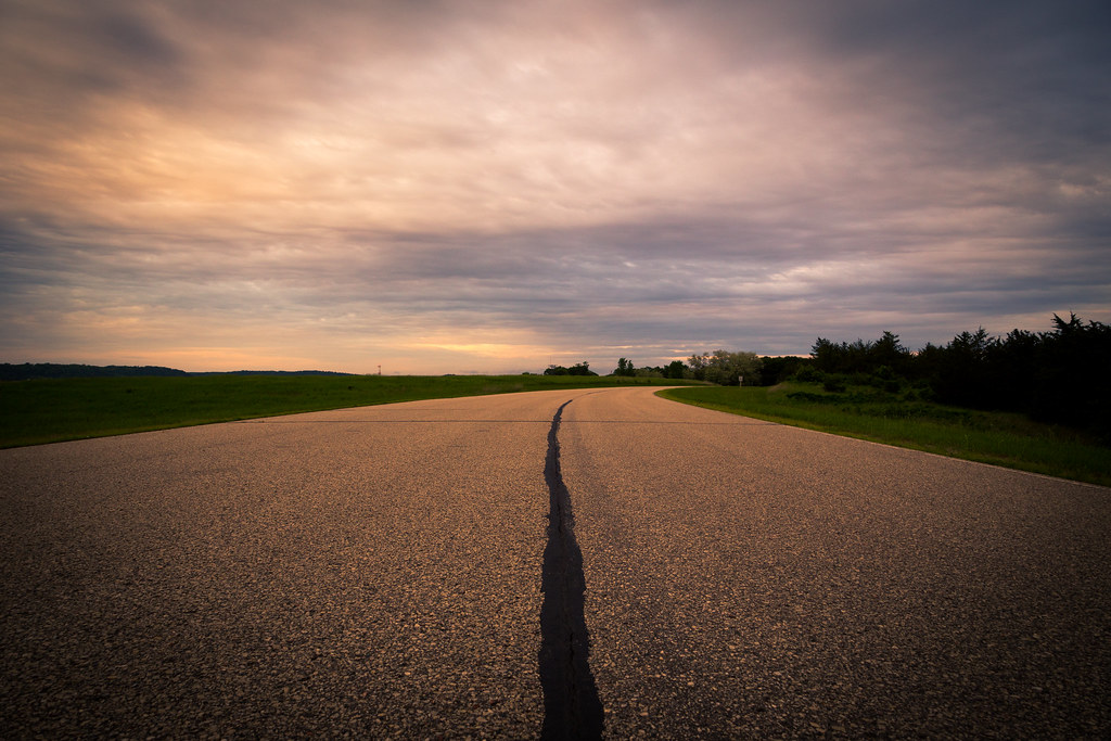
Single Lane Road

Five Cent Ghost

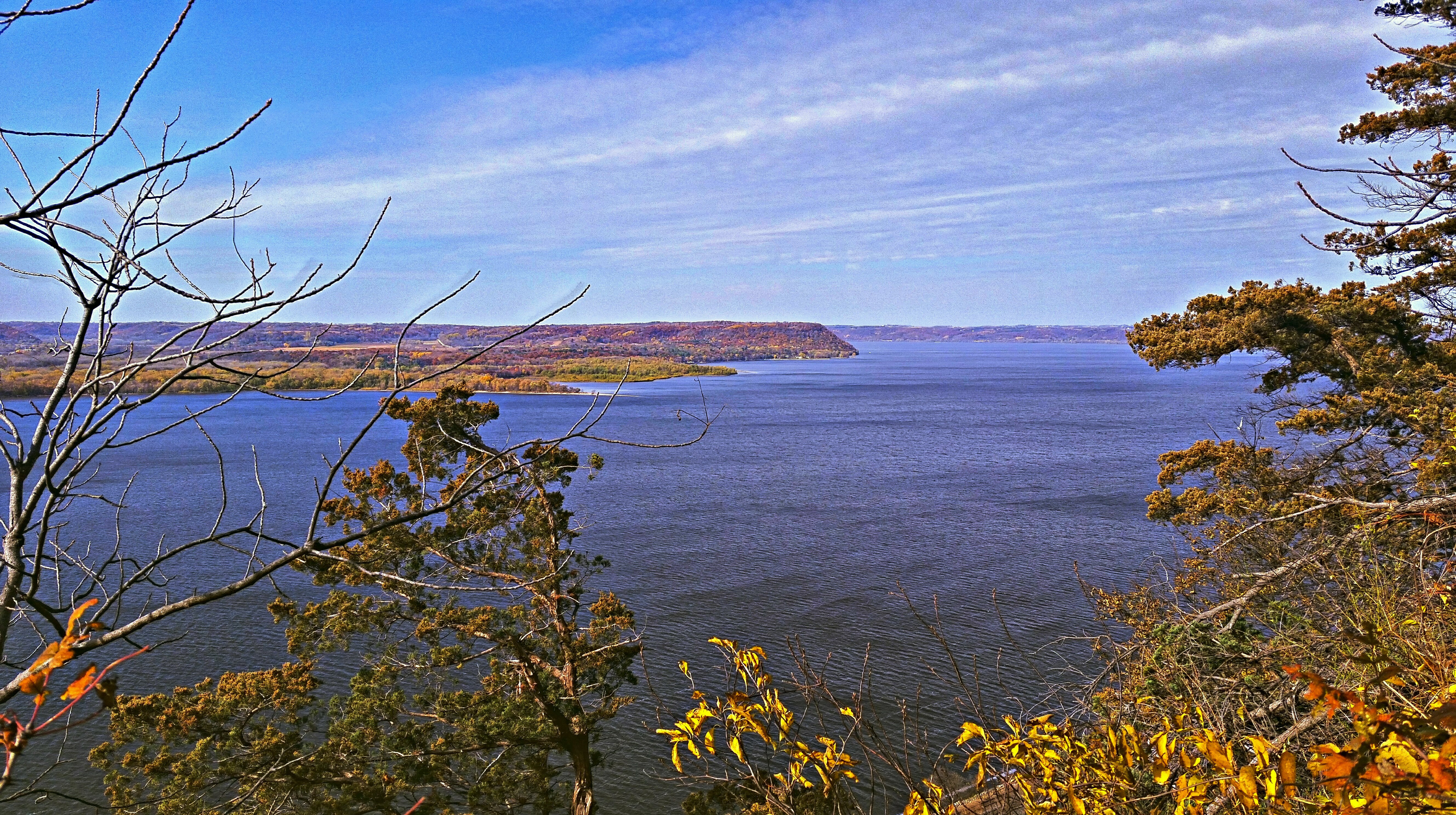
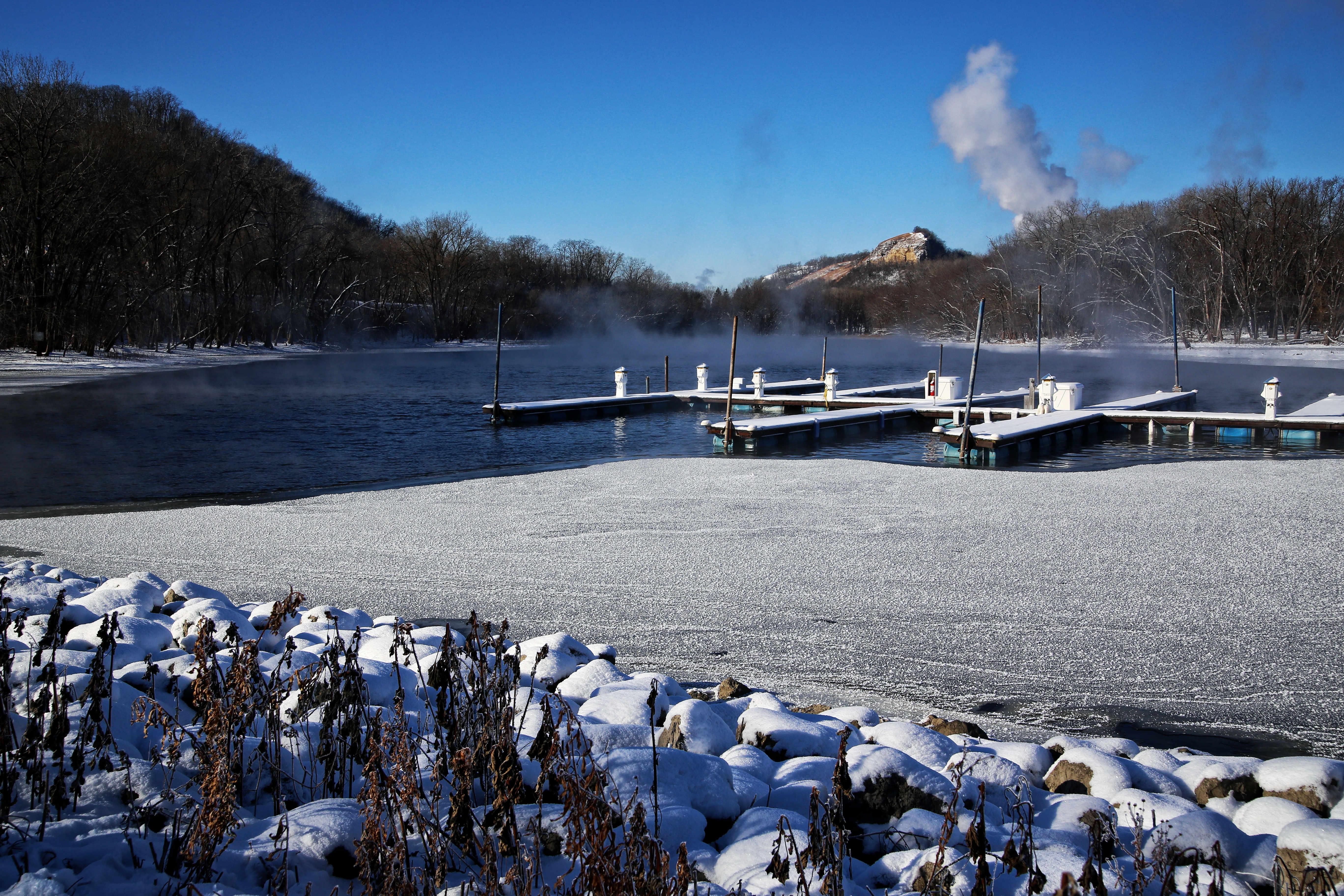
chilly view
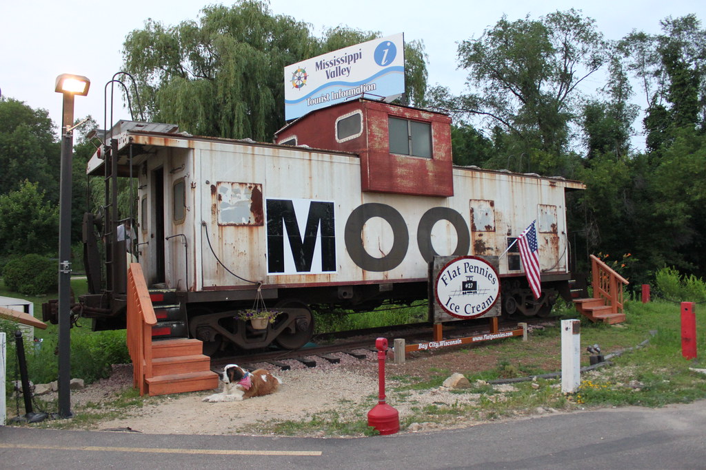
MOO Caboose

BNSF 2751 - 10/5/2003

Art and Fire Project 2009 - 133

// Please take your seats.
A different point of view

Red Wing Foursquare Church

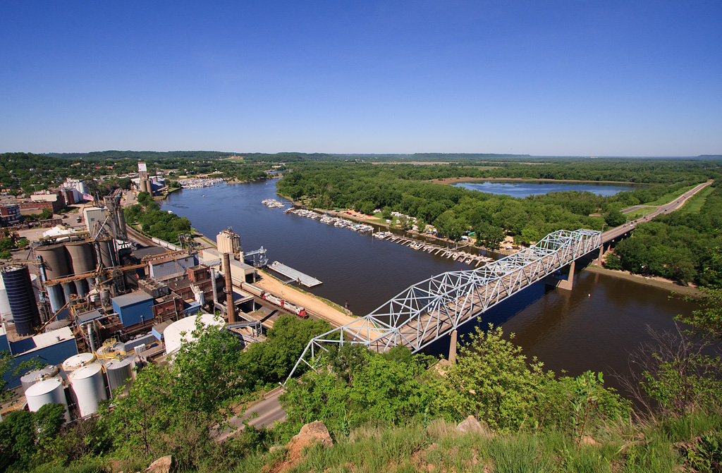
View from the Bluff
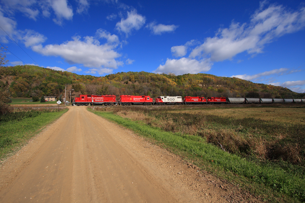
CP 580 with SOO GP's; Barn Bluff, Red Wing, MN
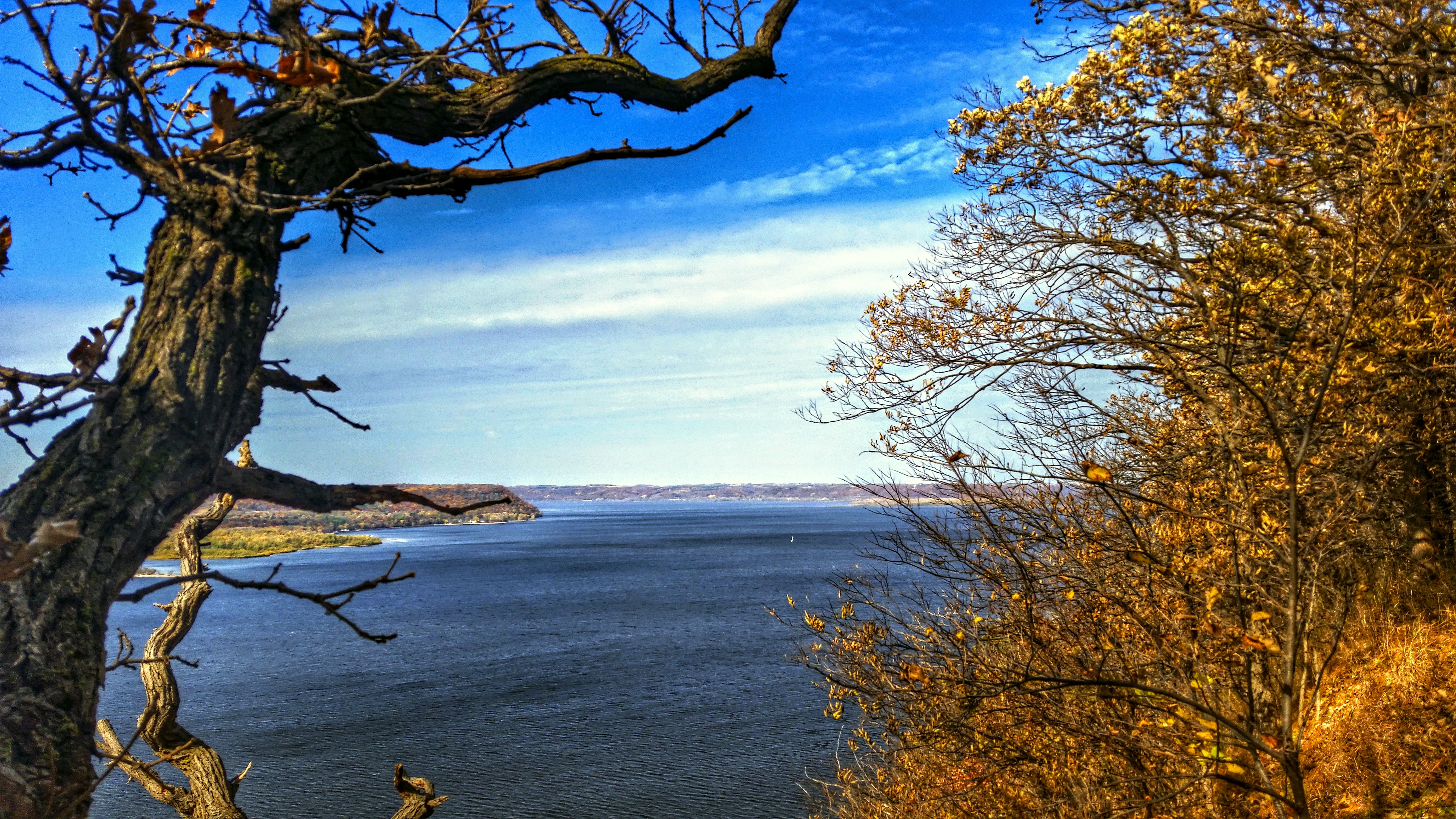
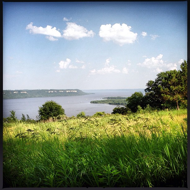
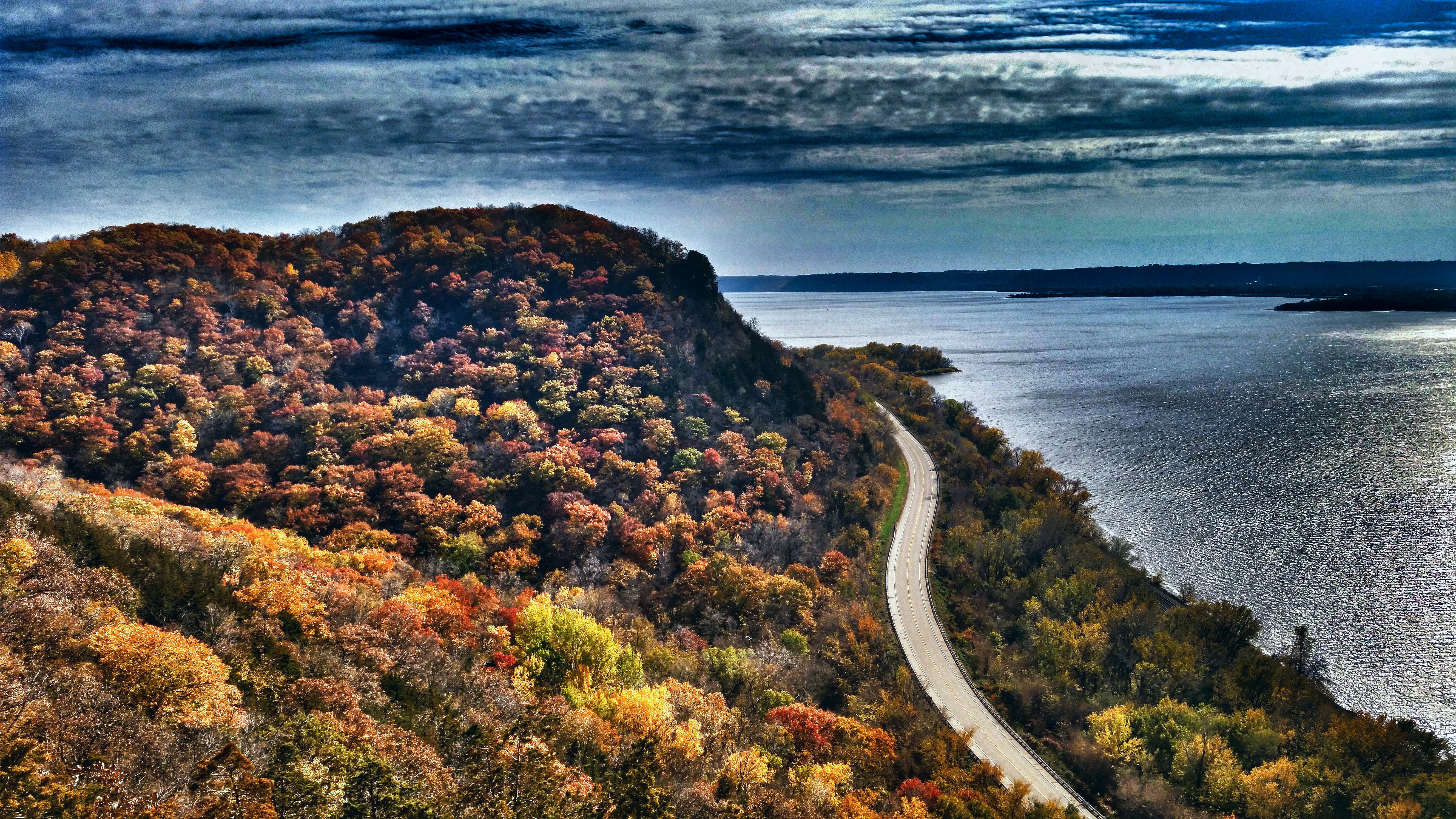
Lake Pepin View
Lake Pepin View

the VIEW
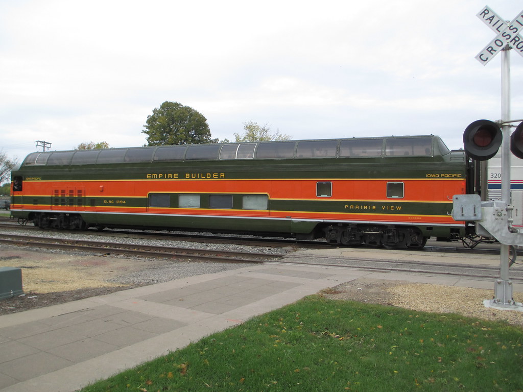
Empire Builder II
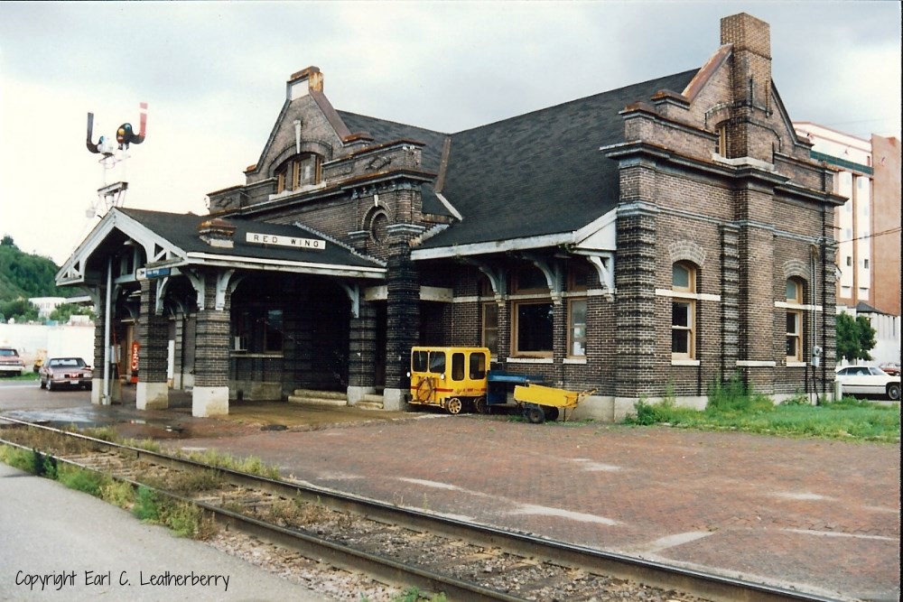
Chicago, Milwaukee, St. Paul & Pacific Railroad- Milwaukee Road, Minnesota, Red Wing

1993-04 Hager City 02 Misty Morning

Hager City bluffs
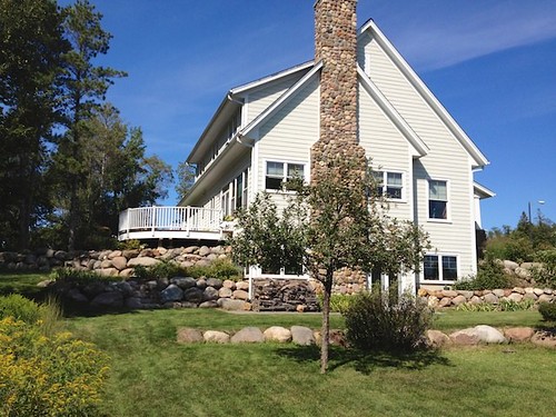
South End View of Home

Front Left Side View

Rush River Autumn; Maiden Rock, Wisconsin
The Shire is beyond these steps.

Milky Way Through a Canopy of Trees
BEST YET

IMG_8501-Edit
Day trip along the river...
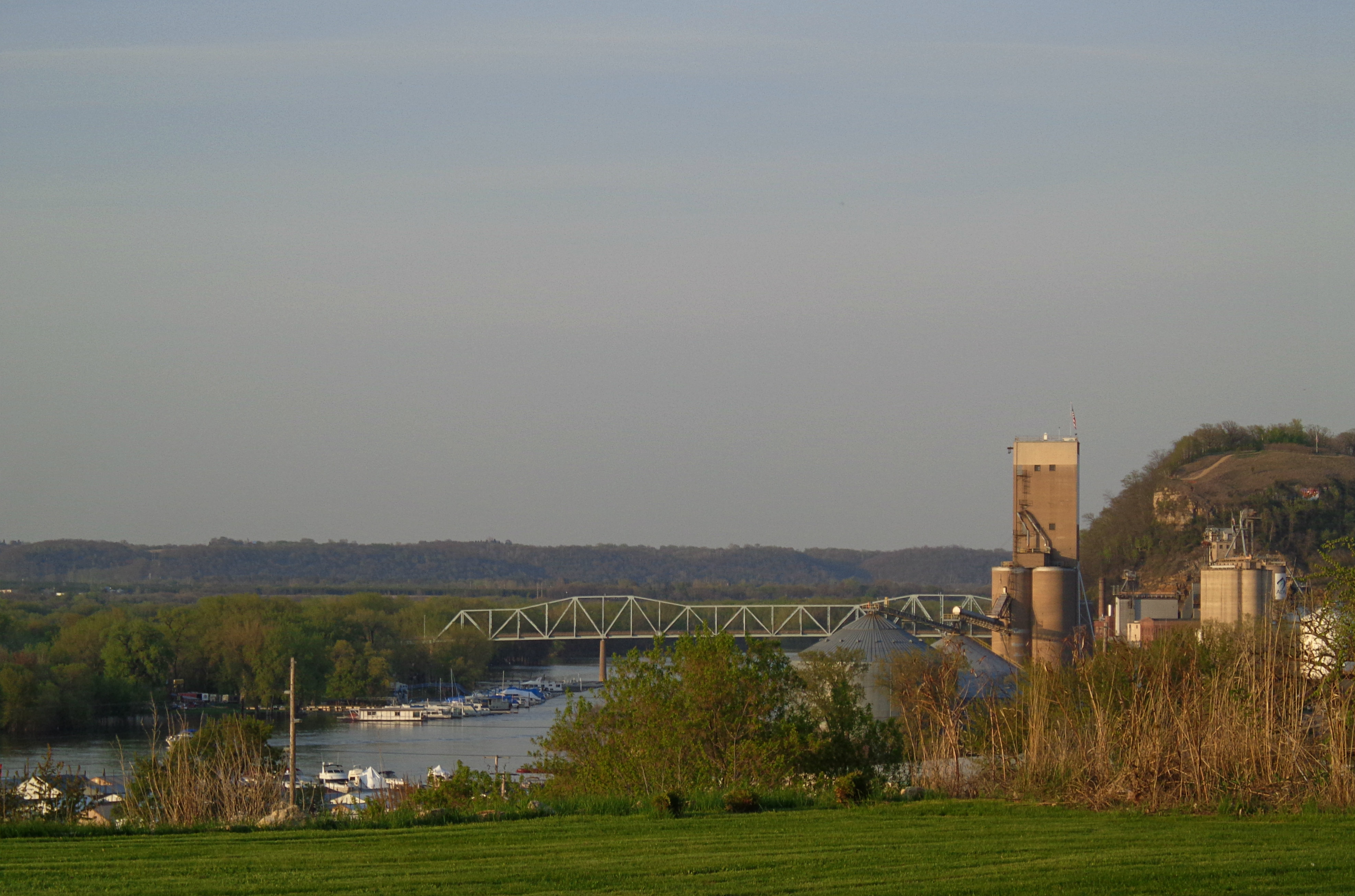
From across the Mississippi
Ahhhhh.

// Back Channel Sunset
// Parallel Lives

_A132821.jpg
// Remnants of a hard life.
Frozen Pier
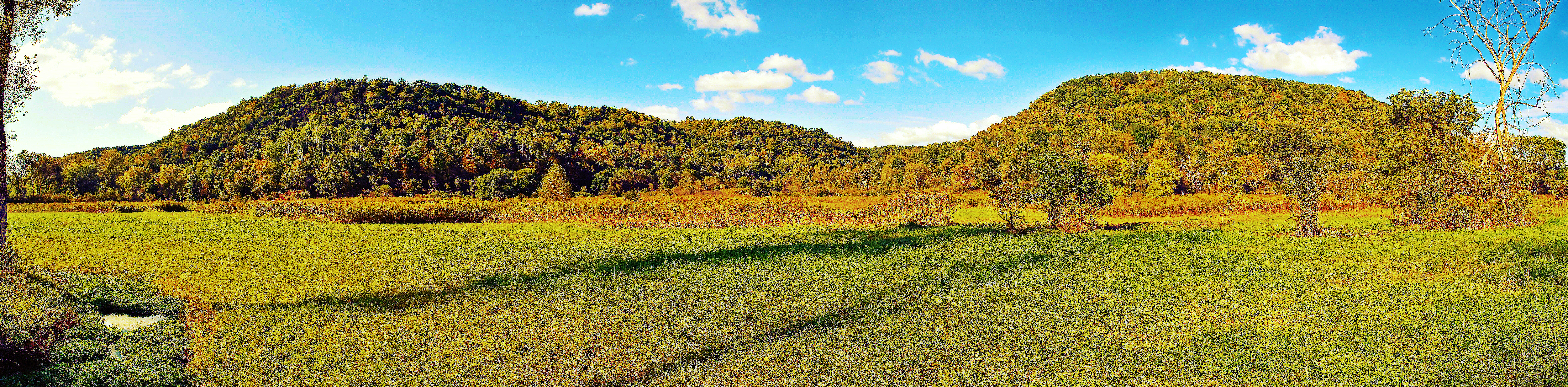
Pine Creek Preserve Panorama
CP 4613, Red Wing, MN

Boat Landing

Maiden Rock Bluff State Natural Area
Maiden Rock Bluff State Natural Area

Lake Canoe
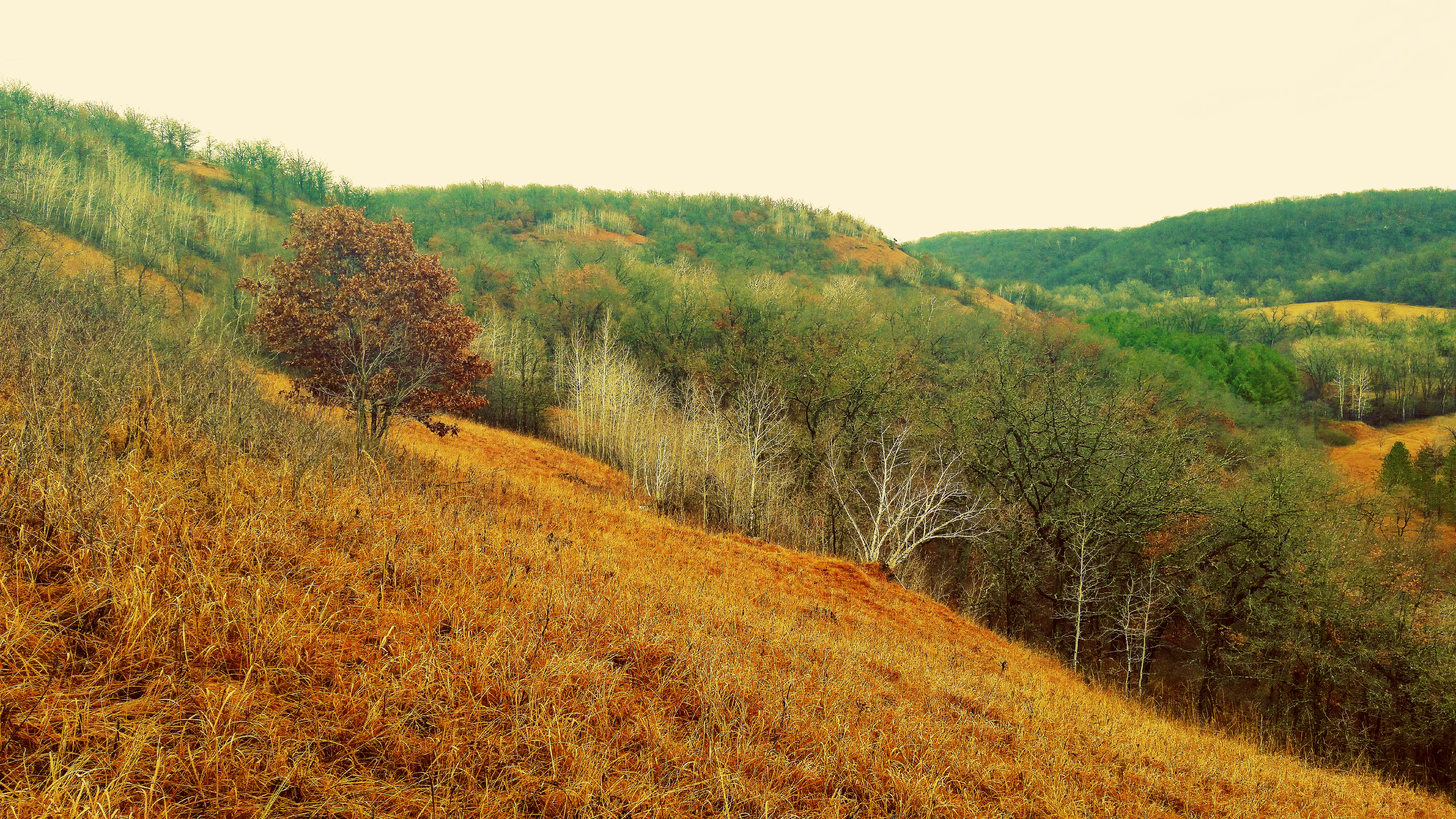
Morgan Coulee Prairie State Natural Area
Topographic Map of US-61, Red Wing, MN, USA
Find elevation by address:

Places near US-61, Red Wing, MN, USA:
Bay City
Isabelle
Hay Creek Township
WI-35, Bay City, WI, USA
Florence Township
N1036
N1131 451st St
Frontenac
Red Wing
29200 Westervelt Ave Way W
County Rd K, Hager City, WI, USA
County 3 Blvd, Goodhue, MN, USA
Belvidere Township
Hay Creek Valley Campground And Old Western Saloon
Maiden Rock
th Ave, Hager City, WI, USA
3413 Briarview Ct
Lake City, MN, USA
2965 Pepin Ave
Mount Pleasant Township
Recent Searches:
- Elevation of Corso Fratelli Cairoli, 35, Macerata MC, Italy
- Elevation of Tallevast Rd, Sarasota, FL, USA
- Elevation of 4th St E, Sonoma, CA, USA
- Elevation of Black Hollow Rd, Pennsdale, PA, USA
- Elevation of Oakland Ave, Williamsport, PA, USA
- Elevation of Pedrógão Grande, Portugal
- Elevation of Klee Dr, Martinsburg, WV, USA
- Elevation of Via Roma, Pieranica CR, Italy
- Elevation of Tavkvetili Mountain, Georgia
- Elevation of Hartfords Bluff Cir, Mt Pleasant, SC, USA