Elevation of Bay City, WI, USA
Location: United States > Wisconsin > Pierce County > Isabelle >
Longitude: -92.450464
Latitude: 44.5855232
Elevation: 210m / 689feet
Barometric Pressure: 99KPa
Elevation Map:
Satellite Map:
Related Photos:

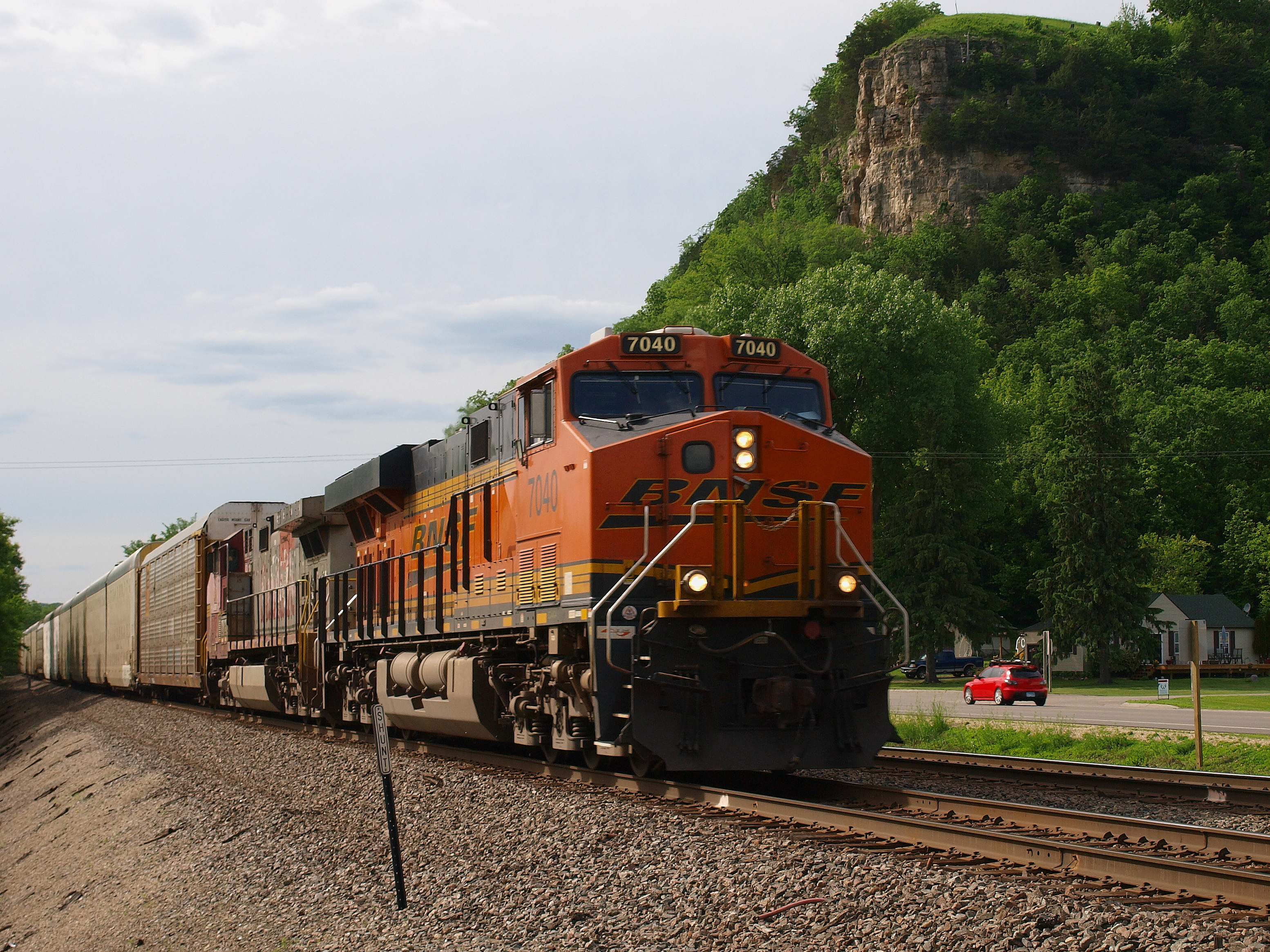
BNSF 2751 - 10/5/2003

Mario Bros Cake
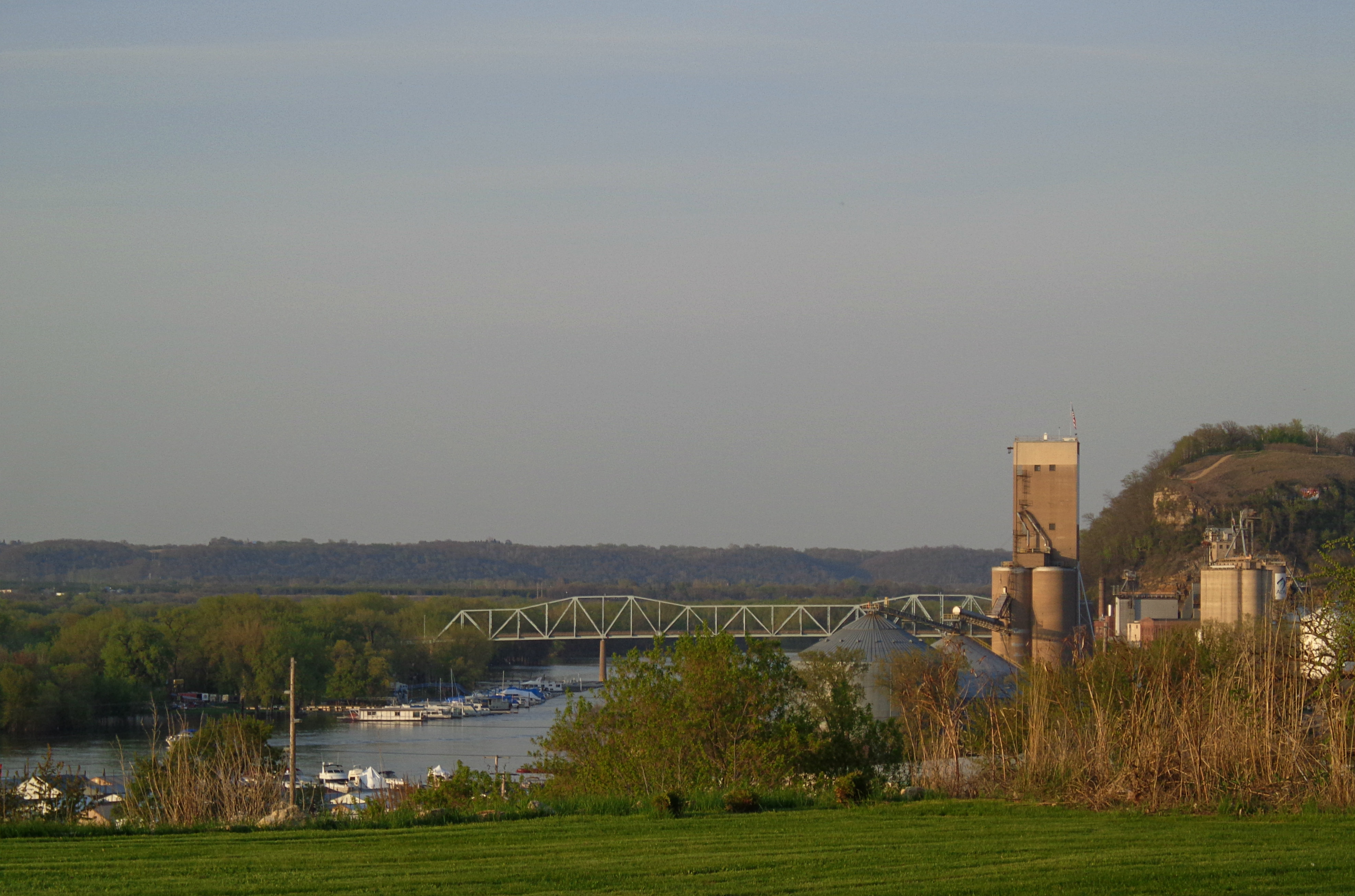
E3_20140608_155304_0040_v01 .. Diamond Bluff WI
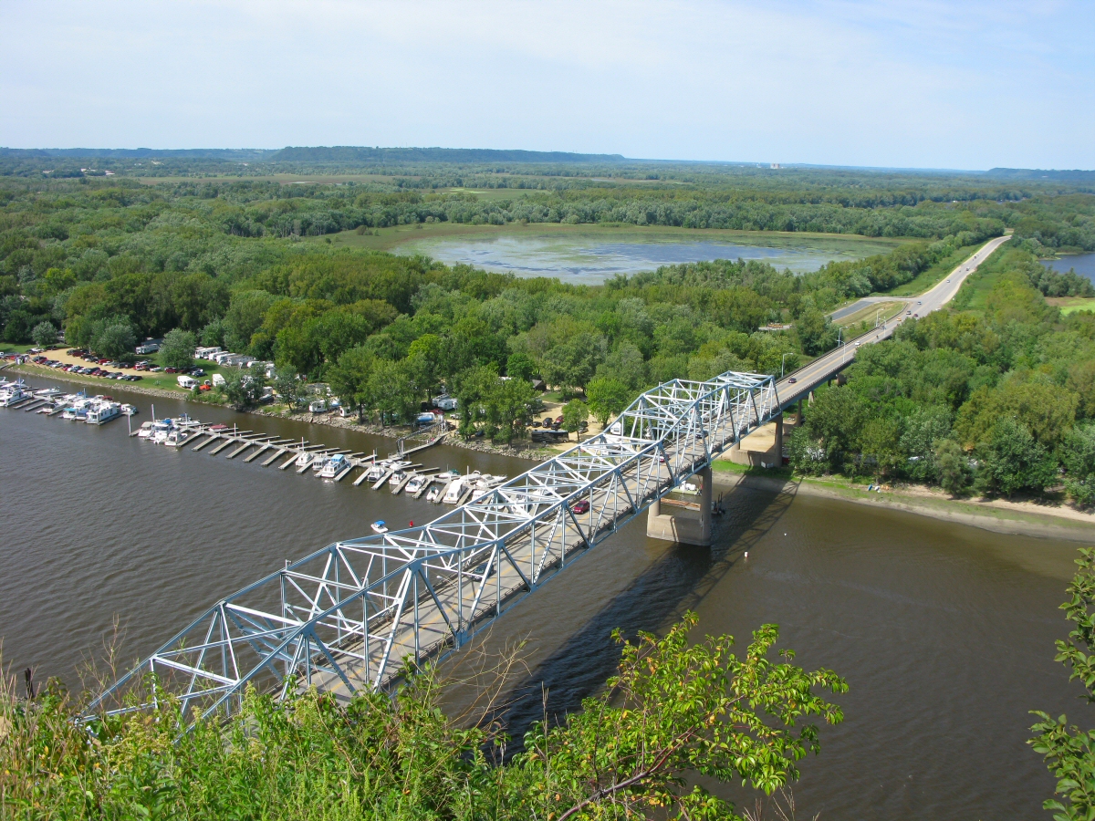
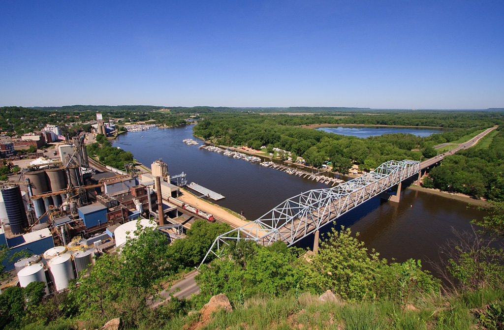
Eisenhower Bridge

Strawberry and Blueberry Shake
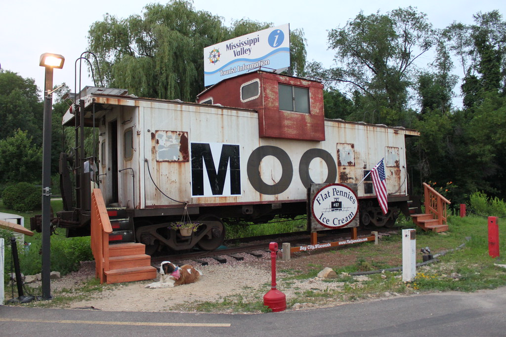
MOO Caboose

// Please take your seats.
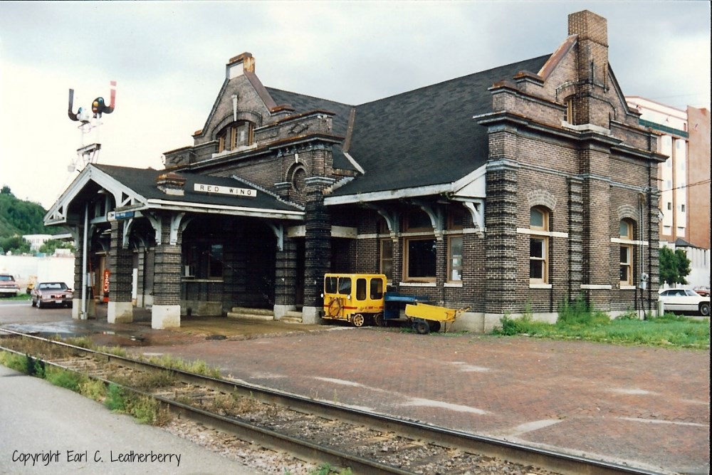
Chicago, Milwaukee, St. Paul & Pacific Railroad- Milwaukee Road, Minnesota, Red Wing
A different point of view

Red Wing Foursquare Church

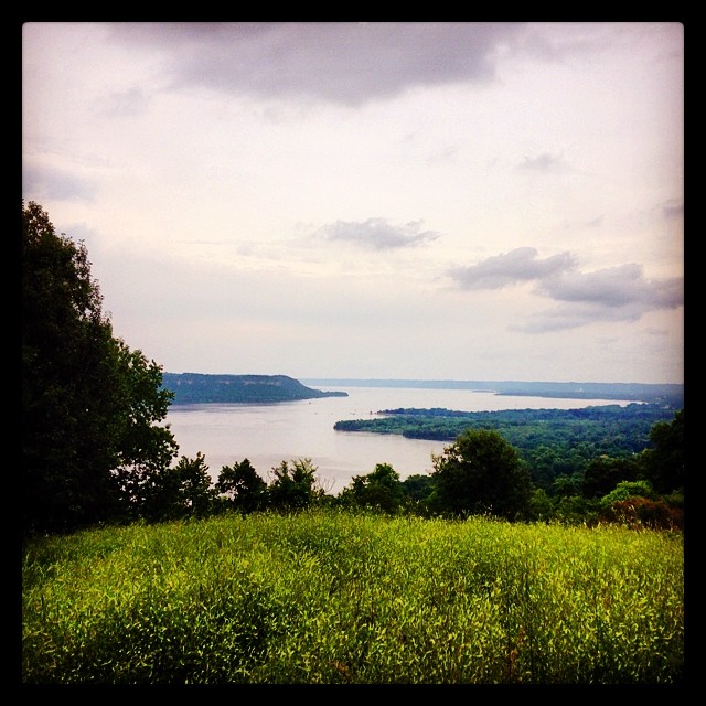
View from the Bluff

Five Cent Ghost
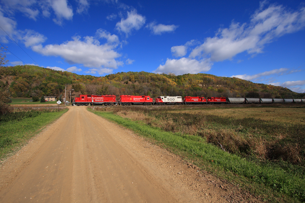
CP 580 with SOO GP's; Barn Bluff, Red Wing, MN
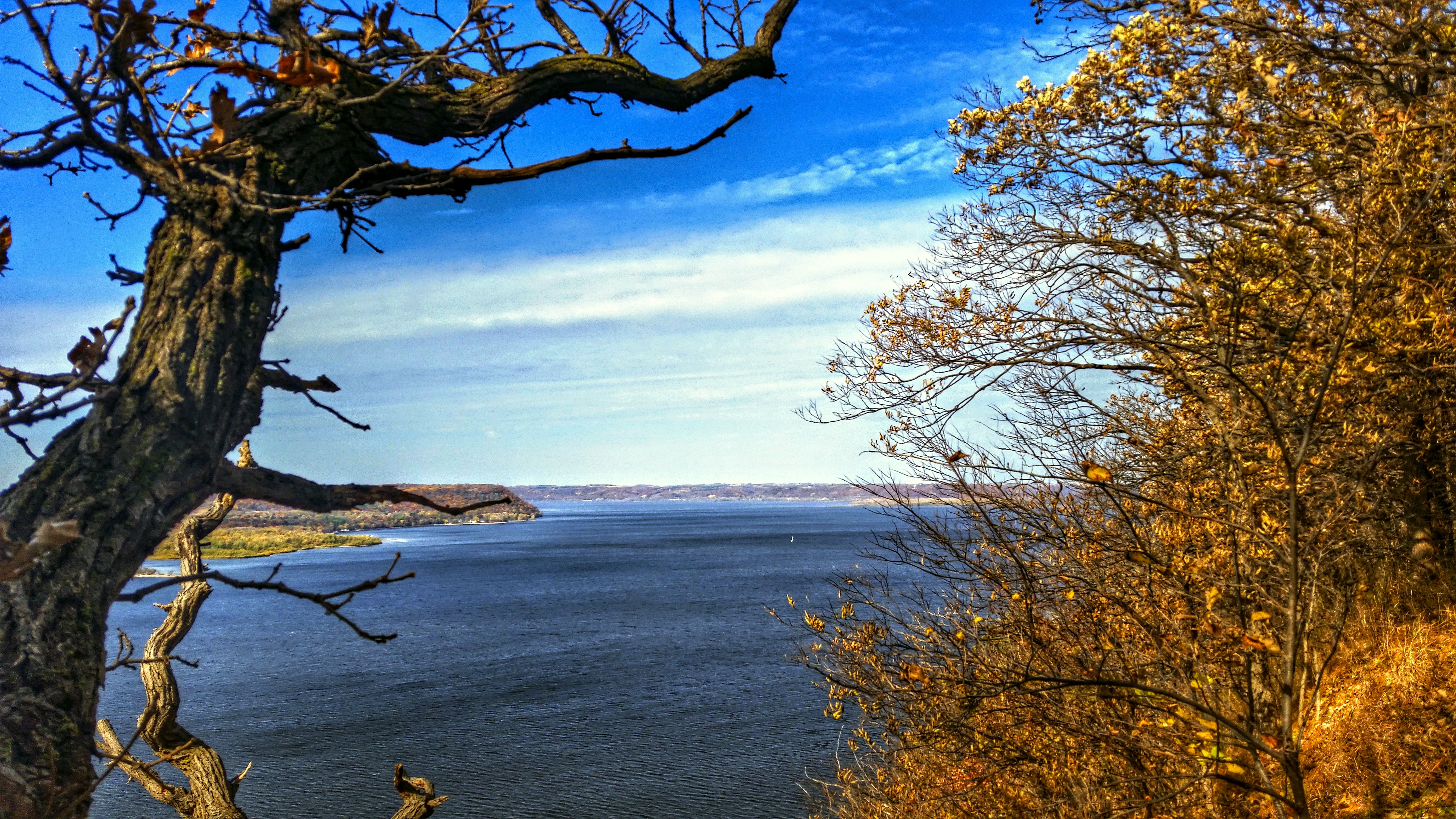
Lake Pepin View

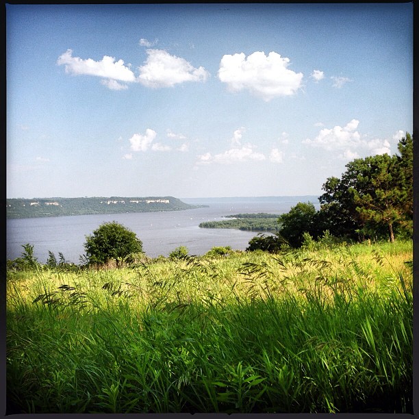
the VIEW
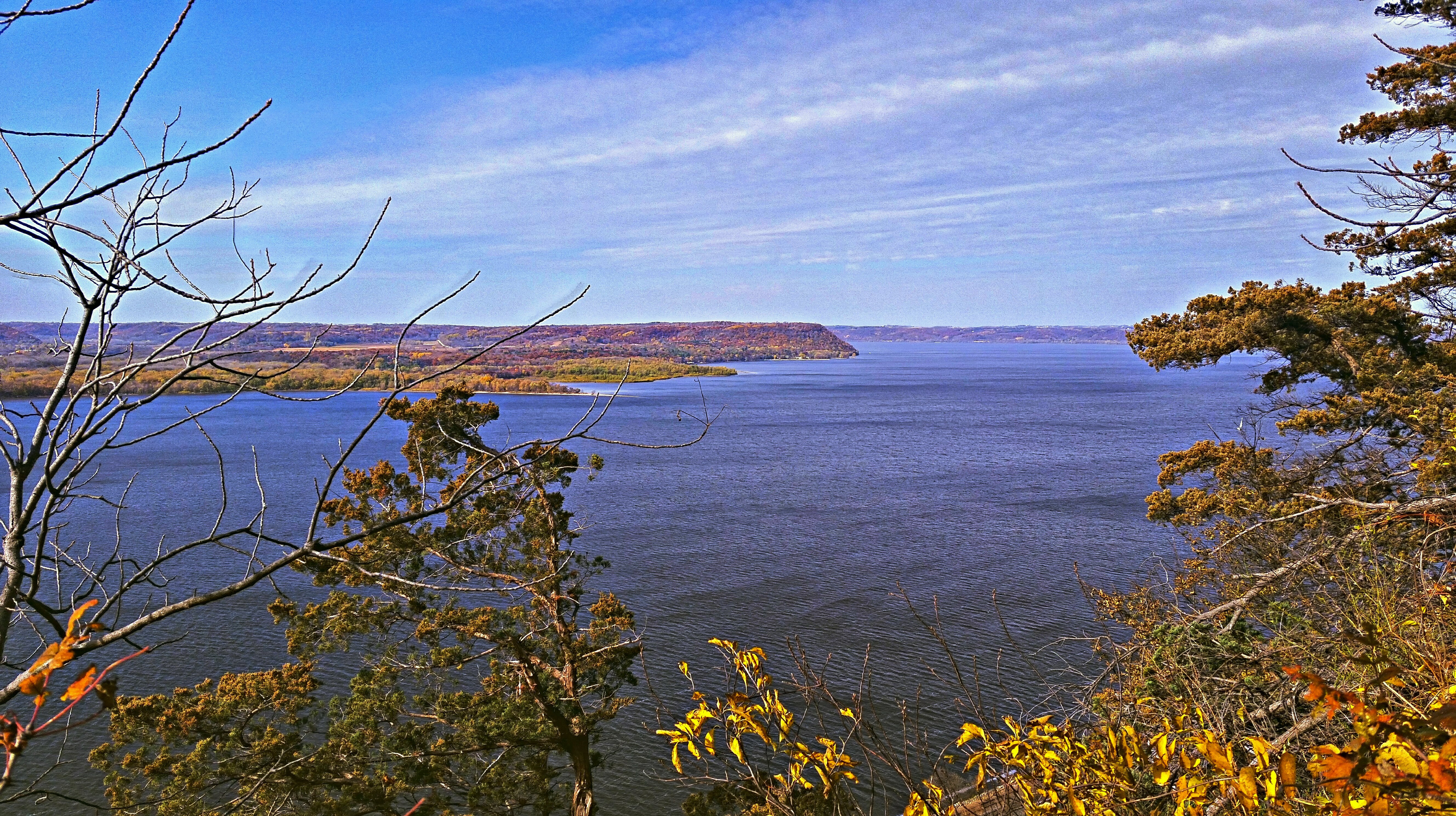
Lake Pepin View
Empire Builder II

1993-04 Hager City 02 Misty Morning

Hager City bluffs
South End View of Home

chilly view

Rush River Autumn; Maiden Rock, Wisconsin

Milky Way Through a Canopy of Trees
// Remnants of a hard life.

Barn Bluff in Red Wing. Possibly one of the nicest days of the year to enjoy its beauty. #christopherjfranklinphotography #onlyinmn #onlyinmn_statefair #capturemm #minnesota #mn #barnbluff #redwing #landscape #16x9 #16x9club
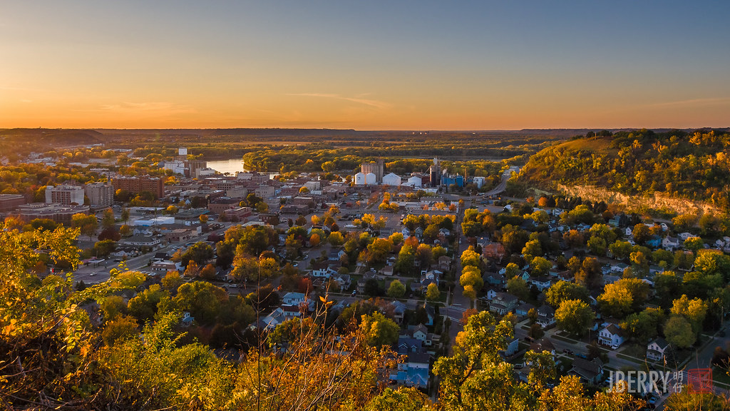
From across the Mississippi
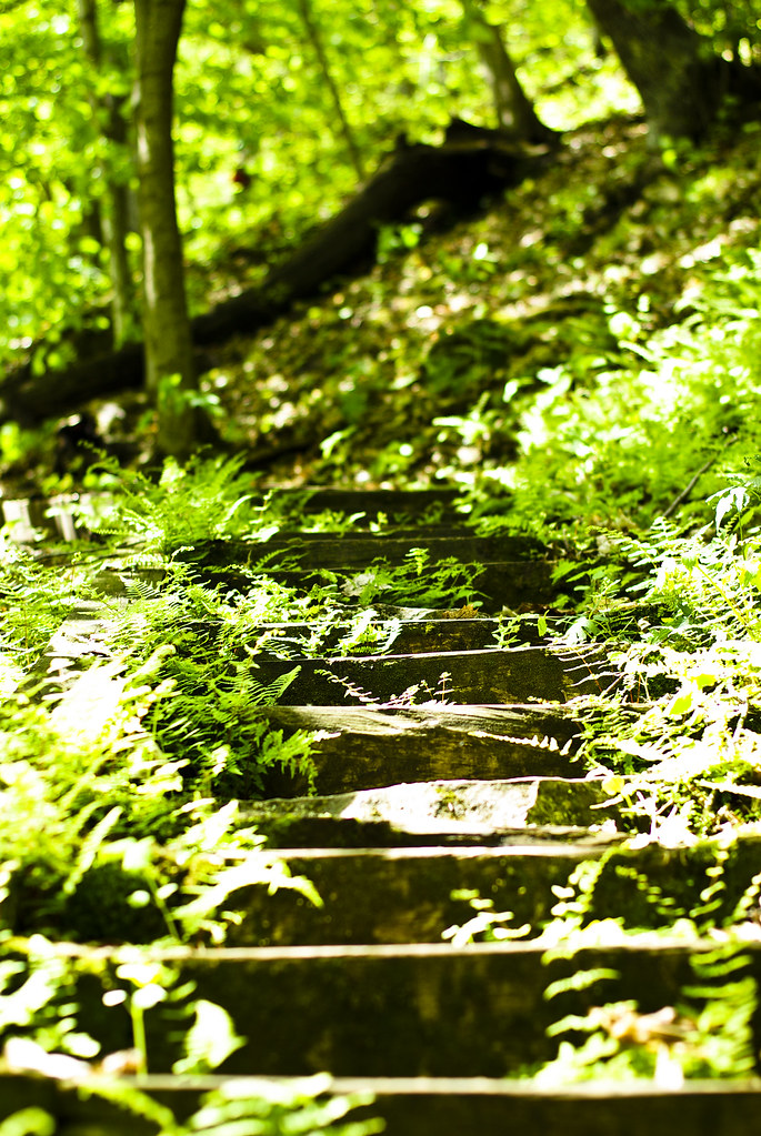
The Shire is beyond these steps.
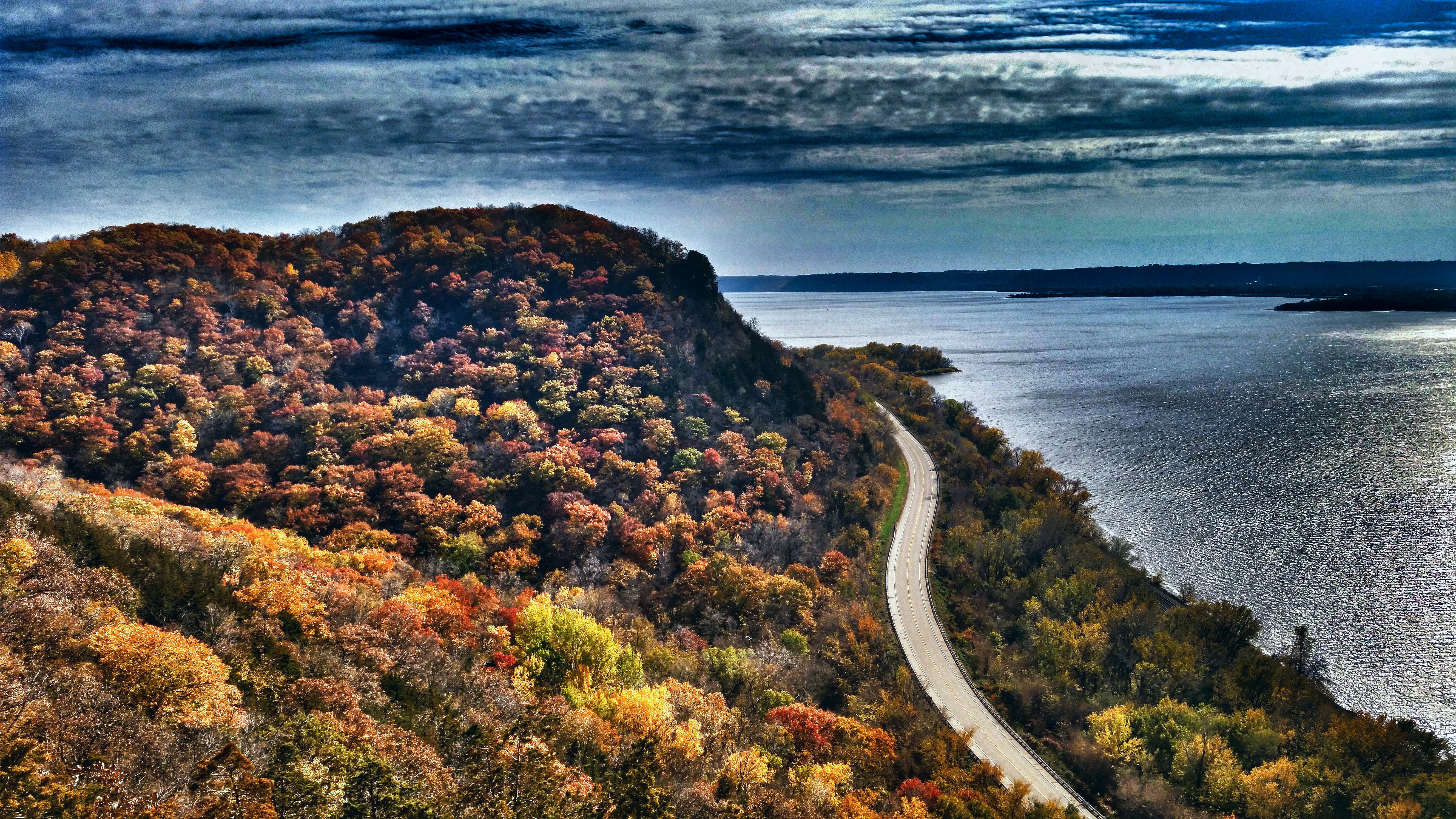
Day trip along the river...

IMG_8501-Edit
Ahhhhh.

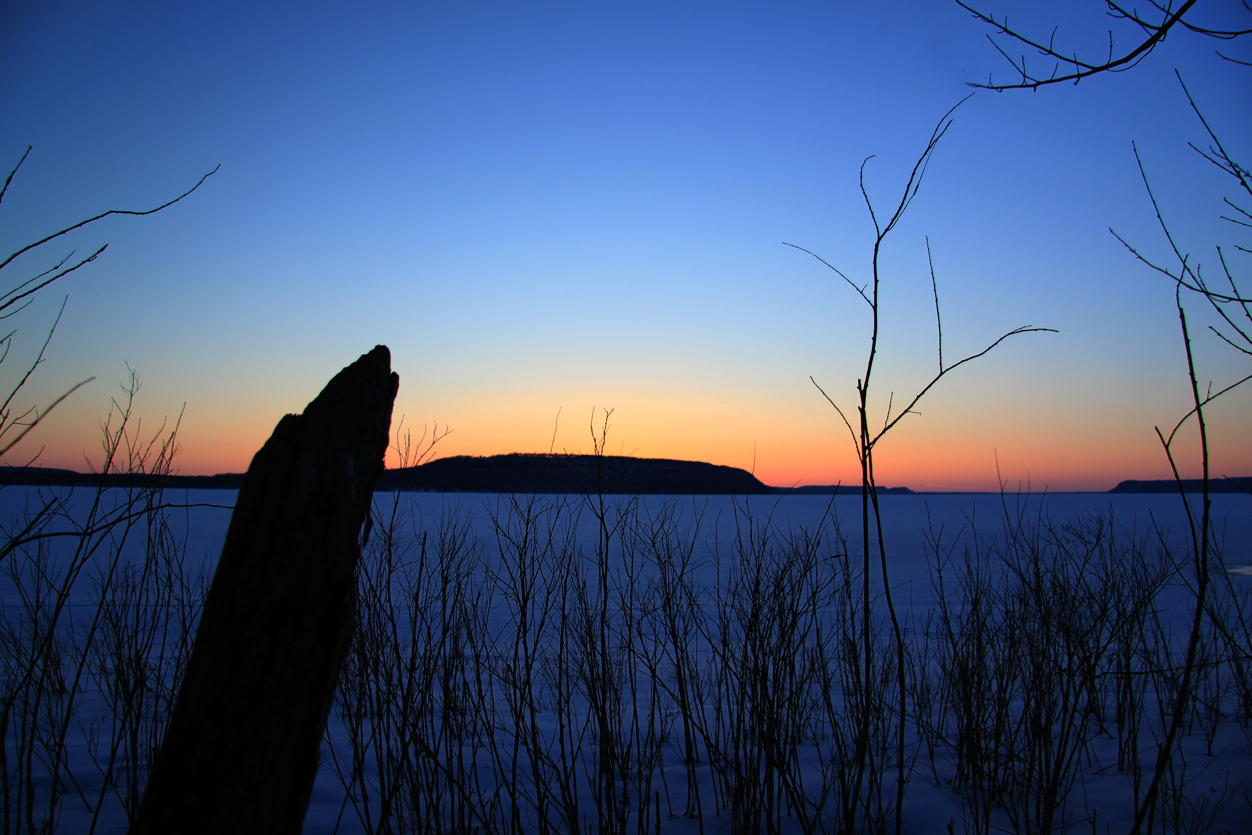
// Back Channel Sunset

// Parallel Lives
_A132821.jpg
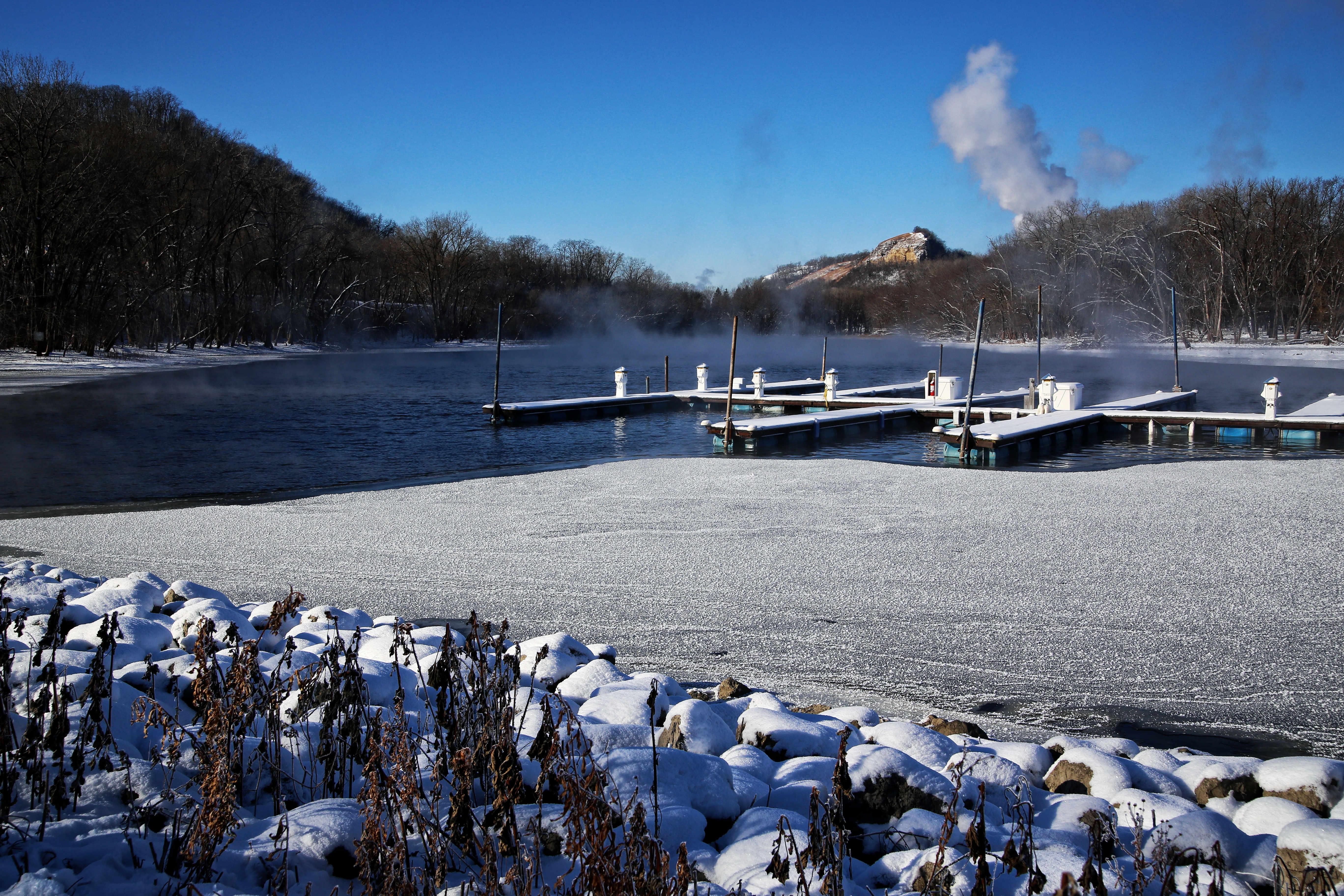
Frozen Pier
CP 4613, Red Wing, MN

Maiden Rock Bluff State Natural Area
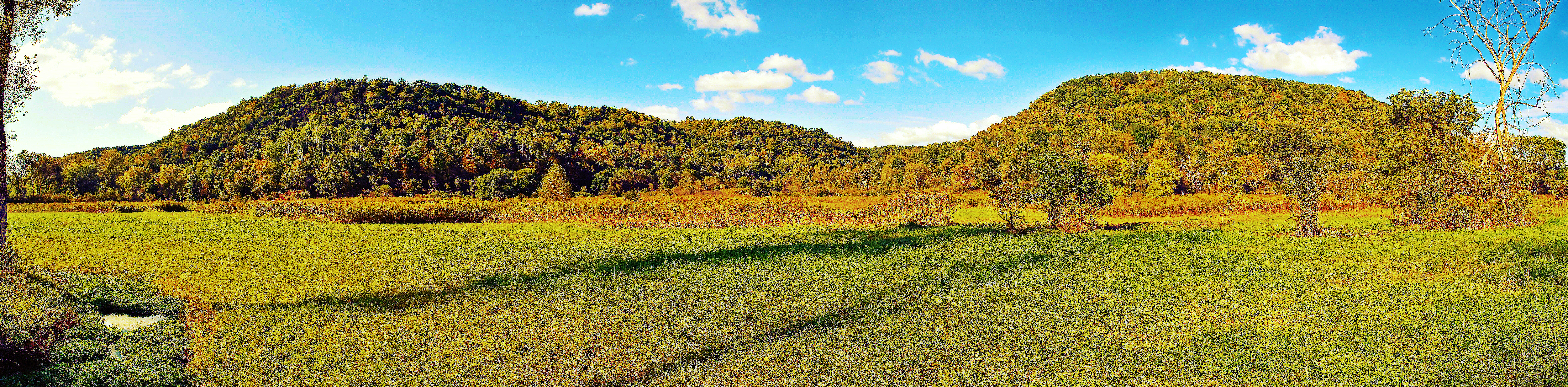
Pine Creek Preserve Panorama
Maiden Rock Bluff State Natural Area
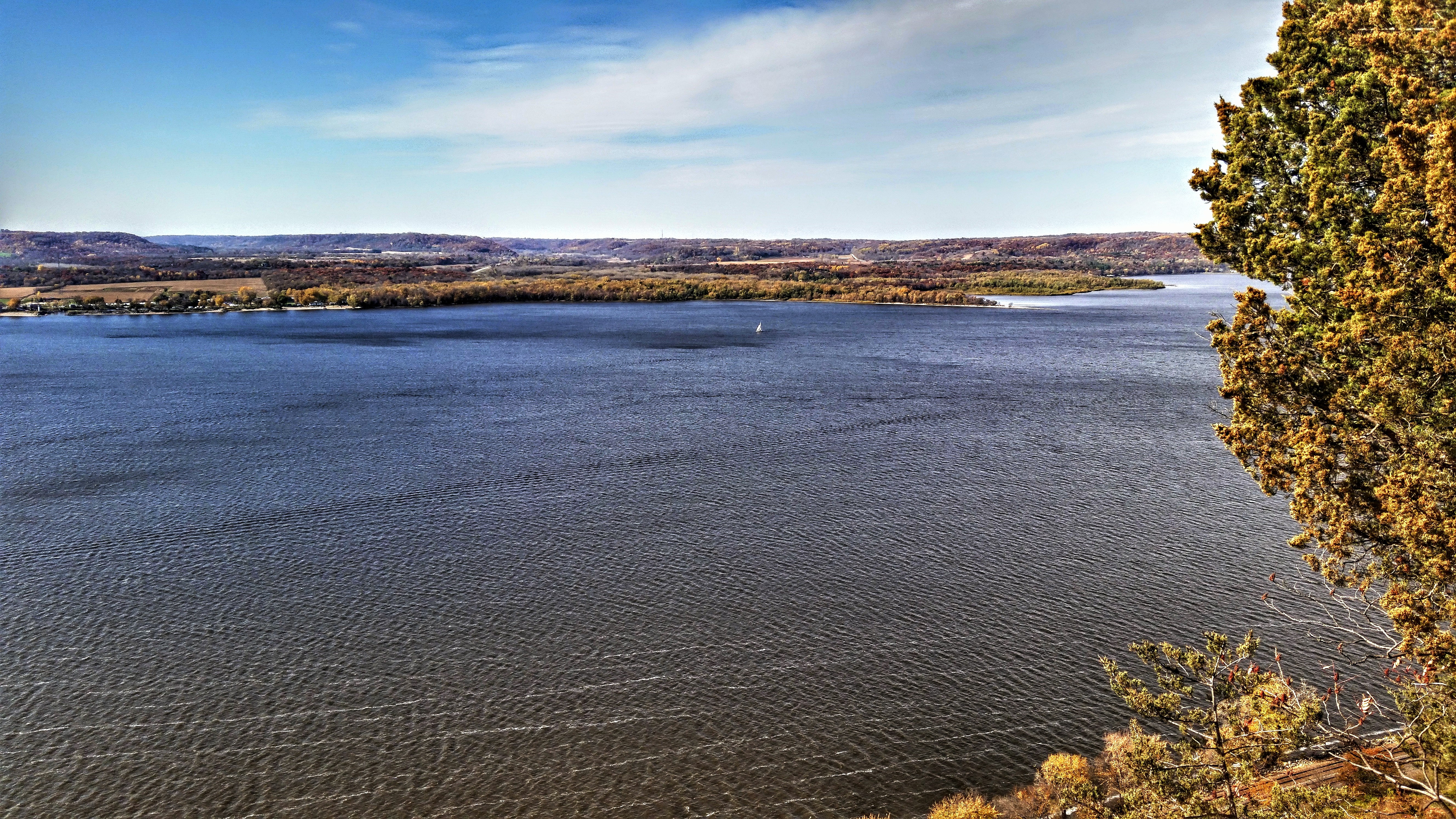
Lake Pepin
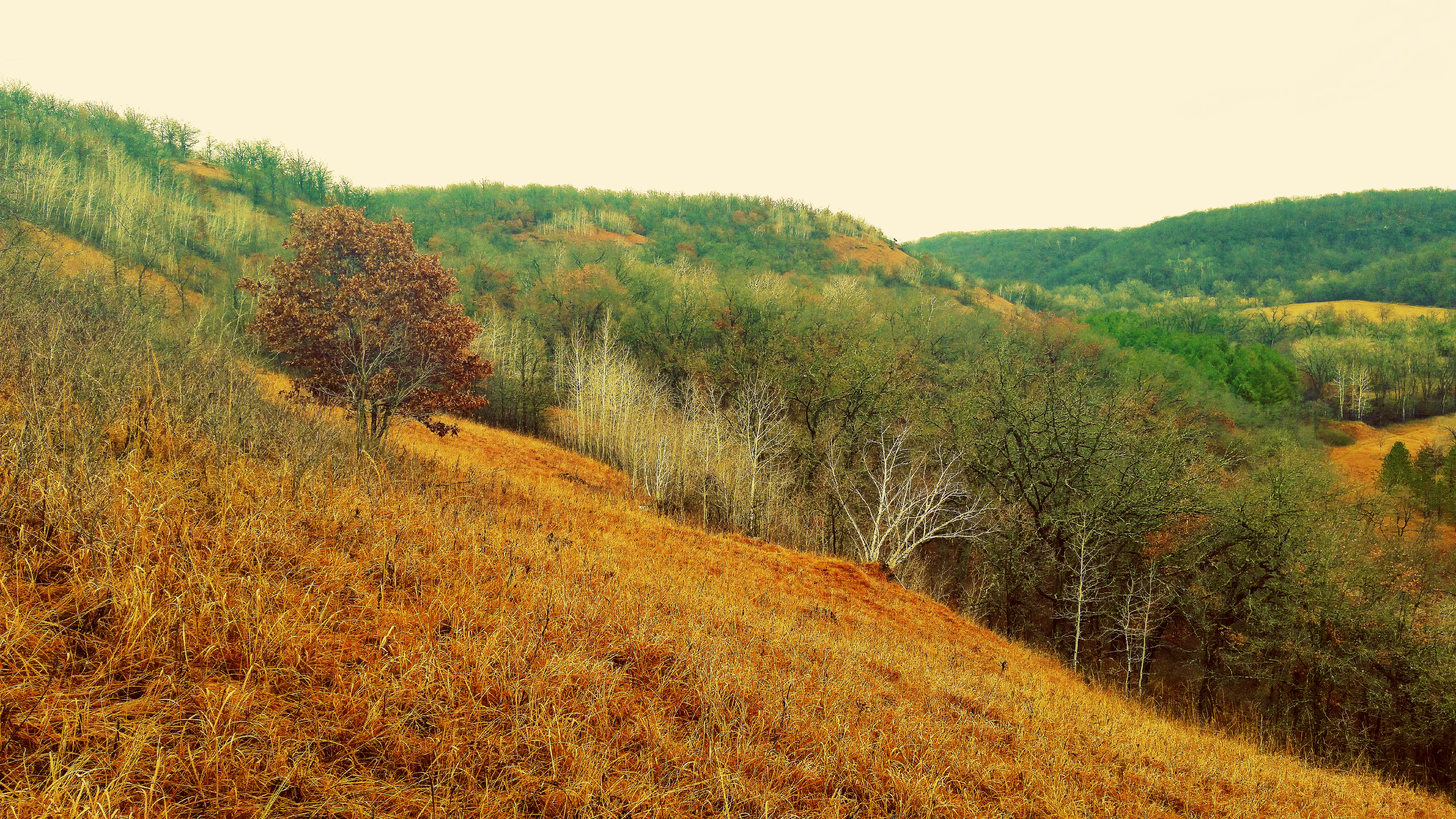
Morgan Coulee Prairie State Natural Area
Bay City, WI- looking across Lake Pepin
Topographic Map of Bay City, WI, USA
Find elevation by address:

Places in Bay City, WI, USA:
Places near Bay City, WI, USA:
US-61, Red Wing, MN, USA
Isabelle
WI-35, Bay City, WI, USA
Hay Creek Township
Red Wing
County Rd K, Hager City, WI, USA
N1131 451st St
N1036
th Ave, Hager City, WI, USA
Florence Township
Frontenac
29200 Westervelt Ave Way W
Hay Creek Valley Campground And Old Western Saloon
3413 Briarview Ct
Maiden Rock
2965 Pepin Ave
County 3 Blvd, Goodhue, MN, USA
Belvidere Township
Aurora Cir, Red Wing, MN, USA
Pierce County
Recent Searches:
- Elevation of Jadagoniai, Kaunas District Municipality, Lithuania
- Elevation of Pagonija rock, Kranto 7-oji g. 8"N, Kaunas, Lithuania
- Elevation of Co Rd 87, Jamestown, CO, USA
- Elevation of Tenjo, Cundinamarca, Colombia
- Elevation of Côte-des-Neiges, Montreal, QC H4A 3J6, Canada
- Elevation of Bobcat Dr, Helena, MT, USA
- Elevation of Zu den Ihlowbergen, Althüttendorf, Germany
- Elevation of Badaber, Peshawar, Khyber Pakhtunkhwa, Pakistan
- Elevation of SE Heron Loop, Lincoln City, OR, USA
- Elevation of Slanický ostrov, 01 Námestovo, Slovakia