Elevation of US-59, McIntosh, MN, USA
Location: United States > Minnesota > Polk County > Mcintosh >
Longitude: -95.986310
Latitude: 47.619956
Elevation: 379m / 1243feet
Barometric Pressure: 97KPa
Elevation Map:
Satellite Map:
Related Photos:

M-SUPGFD through Erskine, Minnesota

Warroad Local Amongst Polk County's Rolling Farm Landscape

GPS pictures 1359

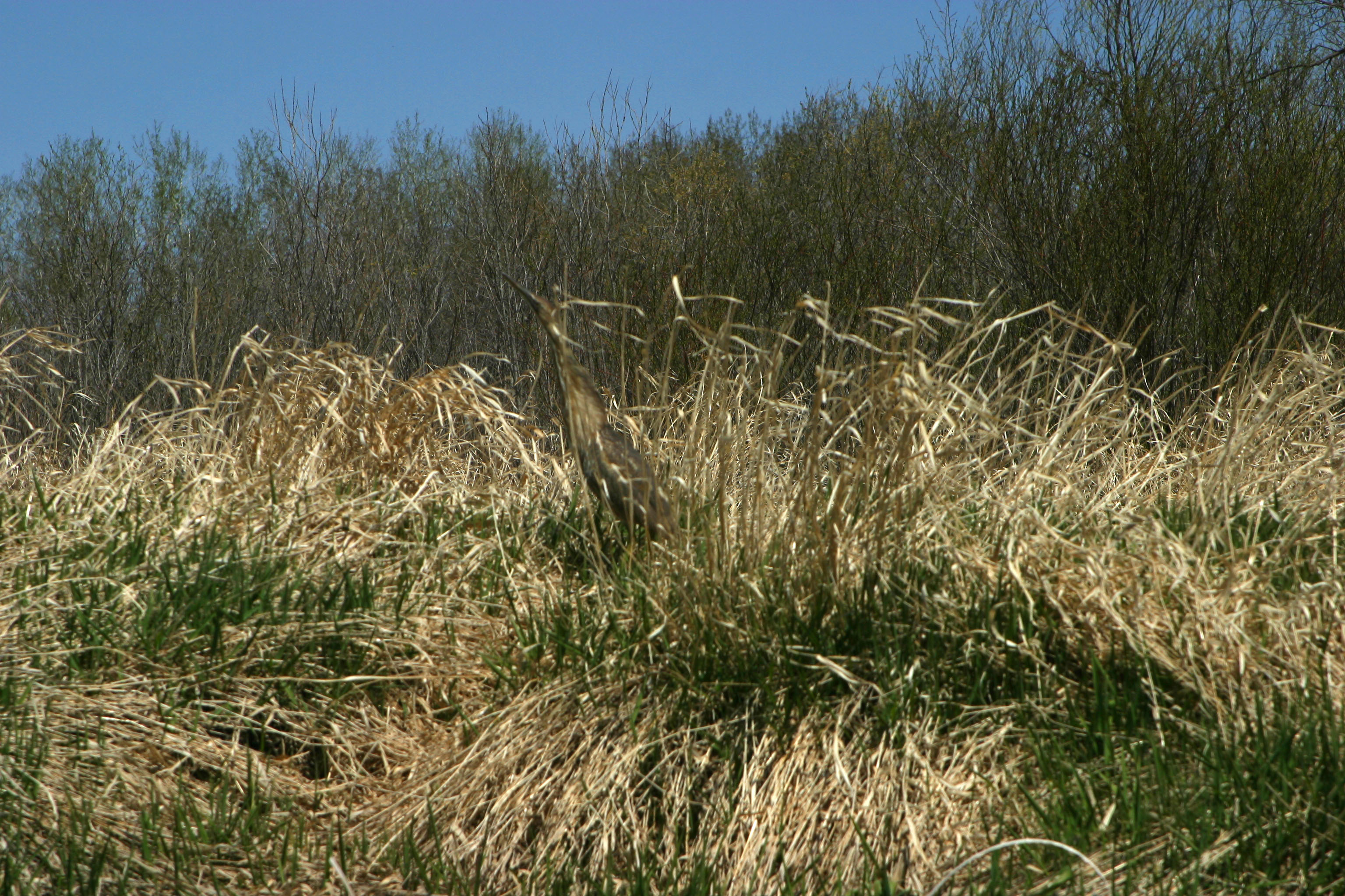
American Bitern

Turtle ahead
American Bitern

Entering Mahnomen County (Mahnomen County, Minnesota)

Cameron Lake (Erskine, Minnesota)

Cameron Lake (Erskine, Minnesota)

GPS pictures 1389

GPS pictures 1216

GPS pictures 1283

GPS pictures 1248
Topographic Map of US-59, McIntosh, MN, USA
Find elevation by address:

Places near US-59, McIntosh, MN, USA:
US-2, Erskine, MN, USA
Erskine
Mcintosh
2nd St N, Mentor, MN, USA
Fosston
S Johnson Ave, Fosston, MN, USA
123 N Main St
Mahnomen County
Fertile
Trail
Co Rd 3, Mahnomen, MN, USA
Beaulieu Township
1st St S, Lengby, MN, USA
th Ave SW, Crookston, MN, USA
Polk County
Kertsonville Township
Waubun
Pleasant Ave, Waubun, MN, USA
White Earth Reservation
Oakland Township
Recent Searches:
- Elevation of Congressional Dr, Stevensville, MD, USA
- Elevation of Bellview Rd, McLean, VA, USA
- Elevation of Stage Island Rd, Chatham, MA, USA
- Elevation of Shibuya Scramble Crossing, 21 Udagawacho, Shibuya City, Tokyo -, Japan
- Elevation of Jadagoniai, Kaunas District Municipality, Lithuania
- Elevation of Pagonija rock, Kranto 7-oji g. 8"N, Kaunas, Lithuania
- Elevation of Co Rd 87, Jamestown, CO, USA
- Elevation of Tenjo, Cundinamarca, Colombia
- Elevation of Côte-des-Neiges, Montreal, QC H4A 3J6, Canada
- Elevation of Bobcat Dr, Helena, MT, USA