Elevation of Trail, MN, USA
Location: United States > Minnesota > Polk County >
Longitude: -95.692241
Latitude: 47.7799582
Elevation: 368m / 1207feet
Barometric Pressure: 97KPa
Elevation Map:
Satellite Map:
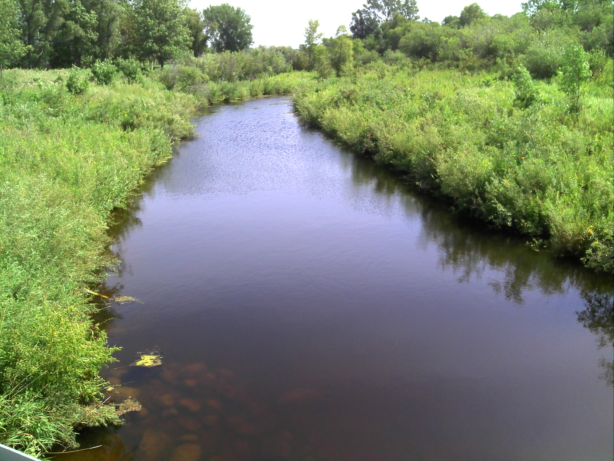
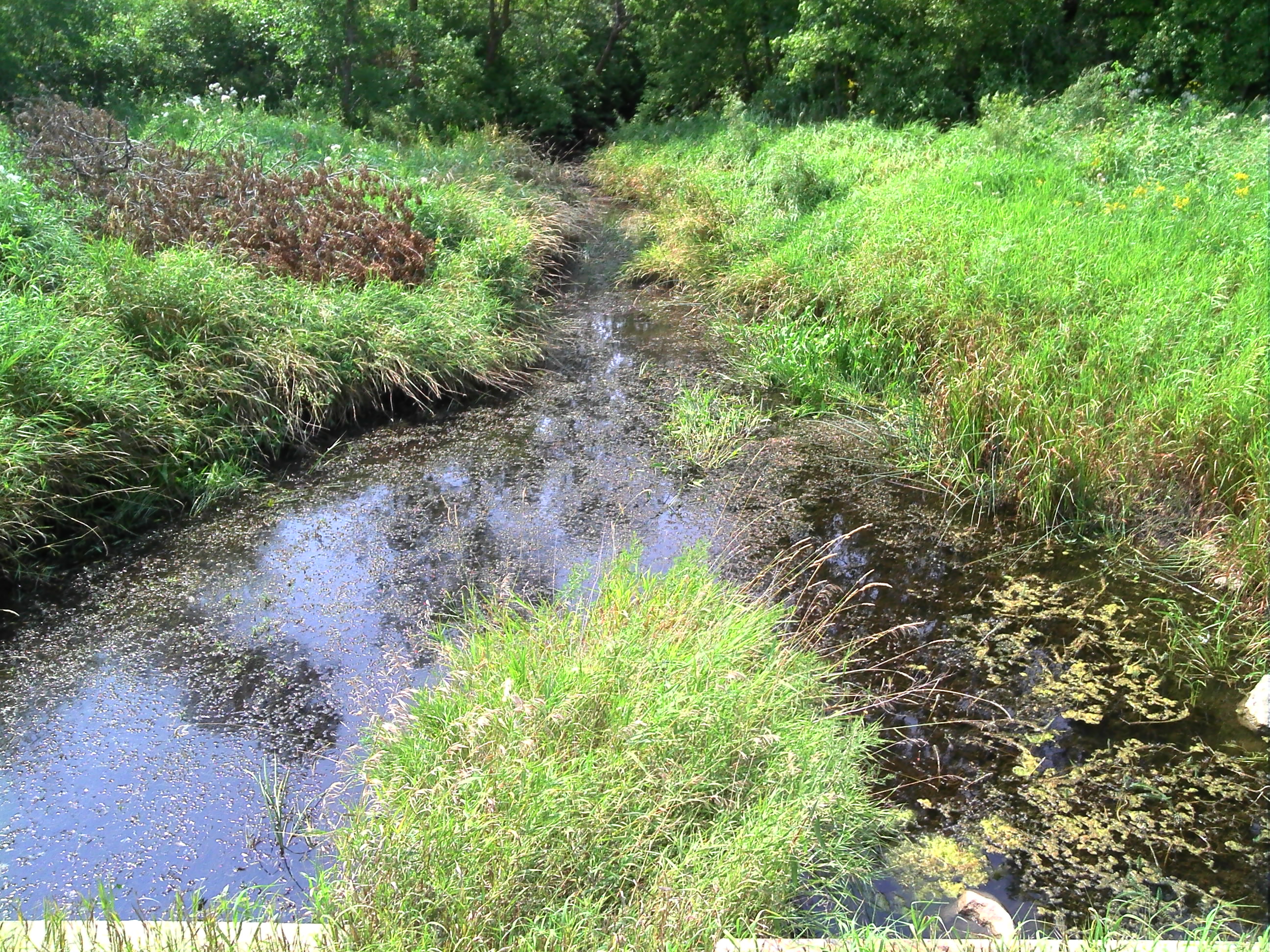
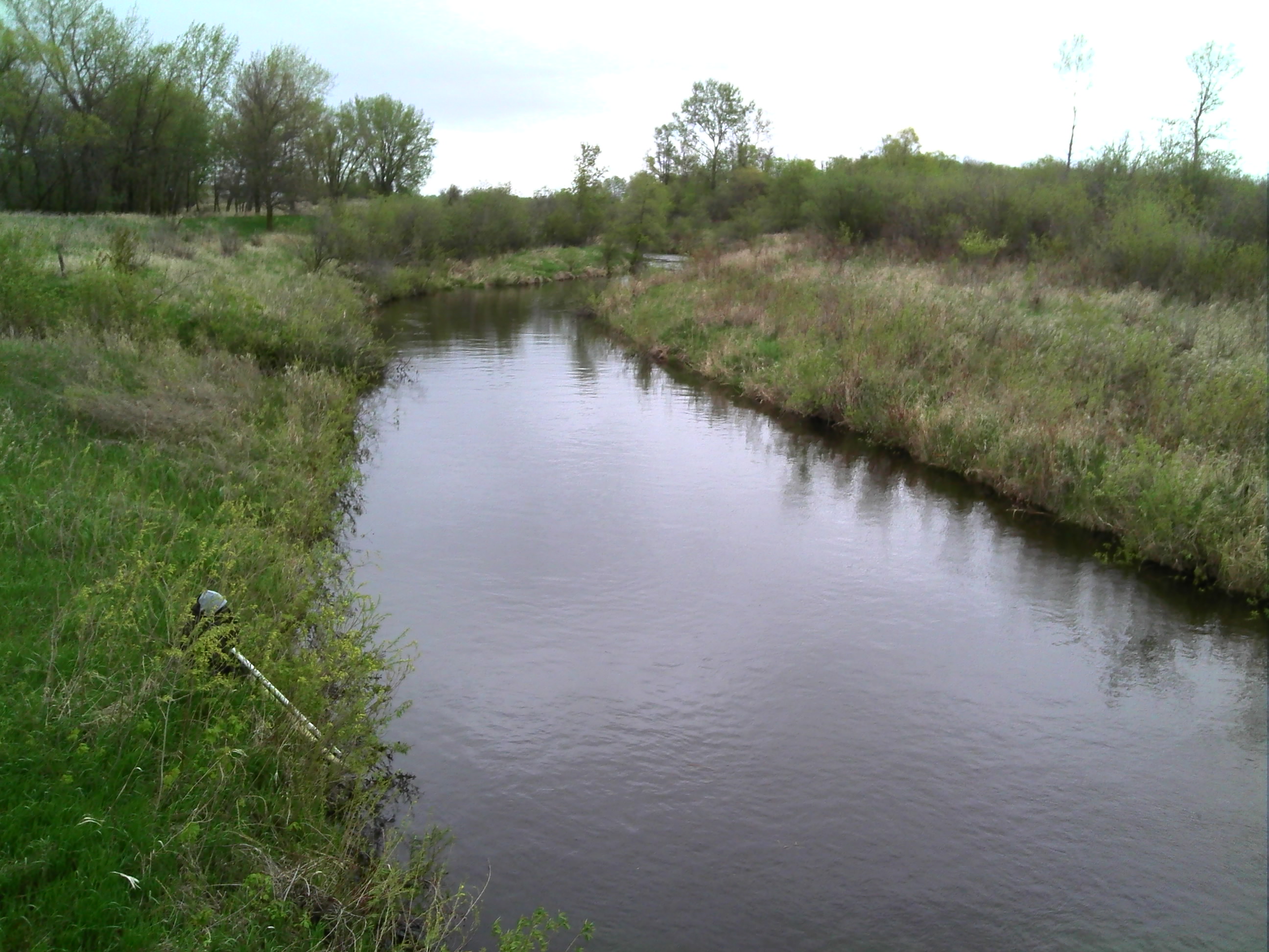
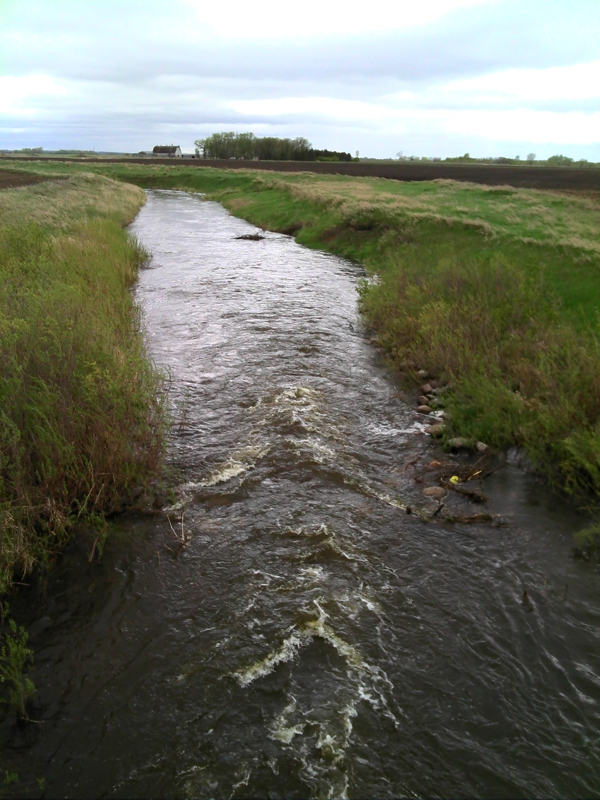
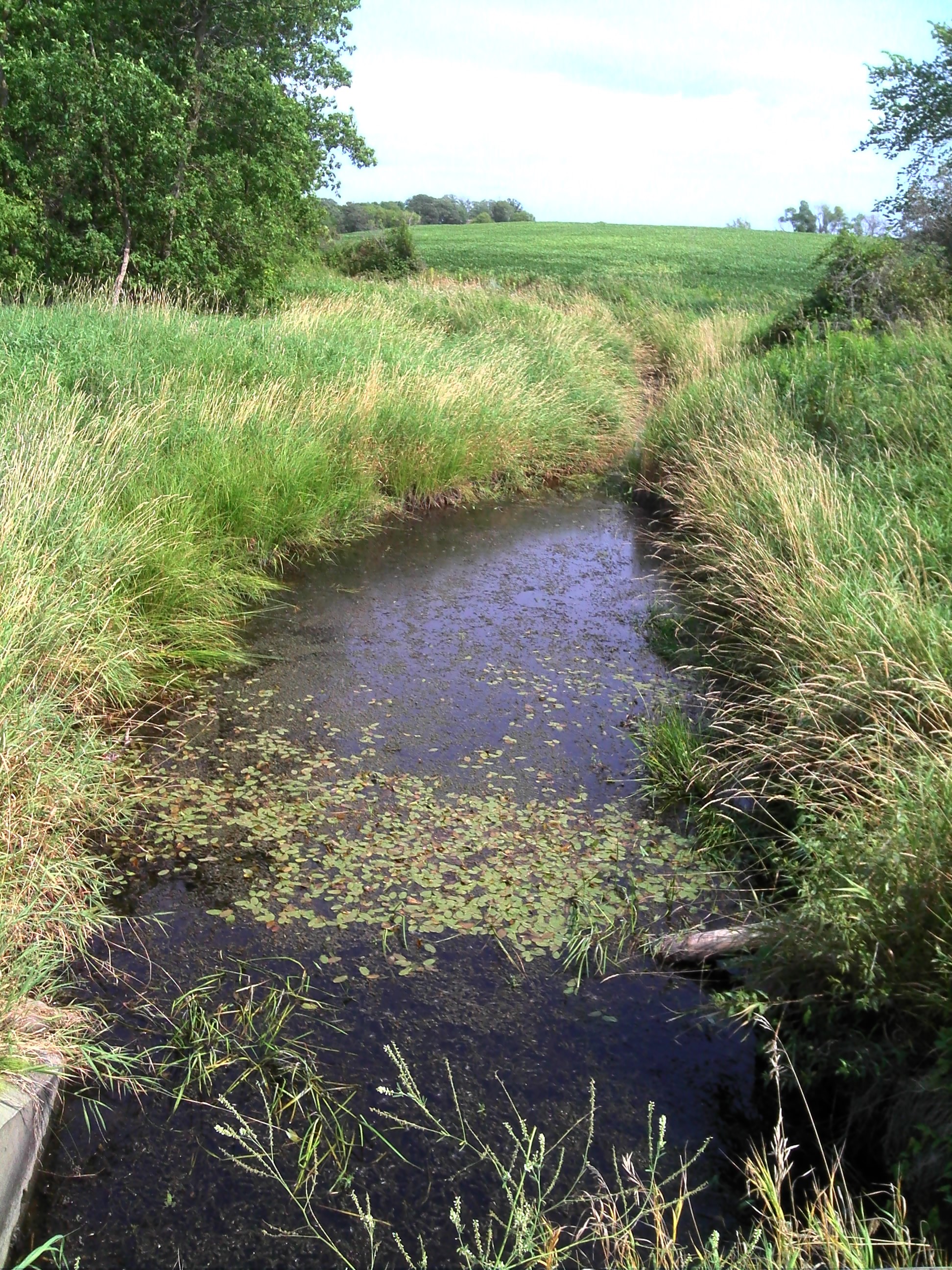
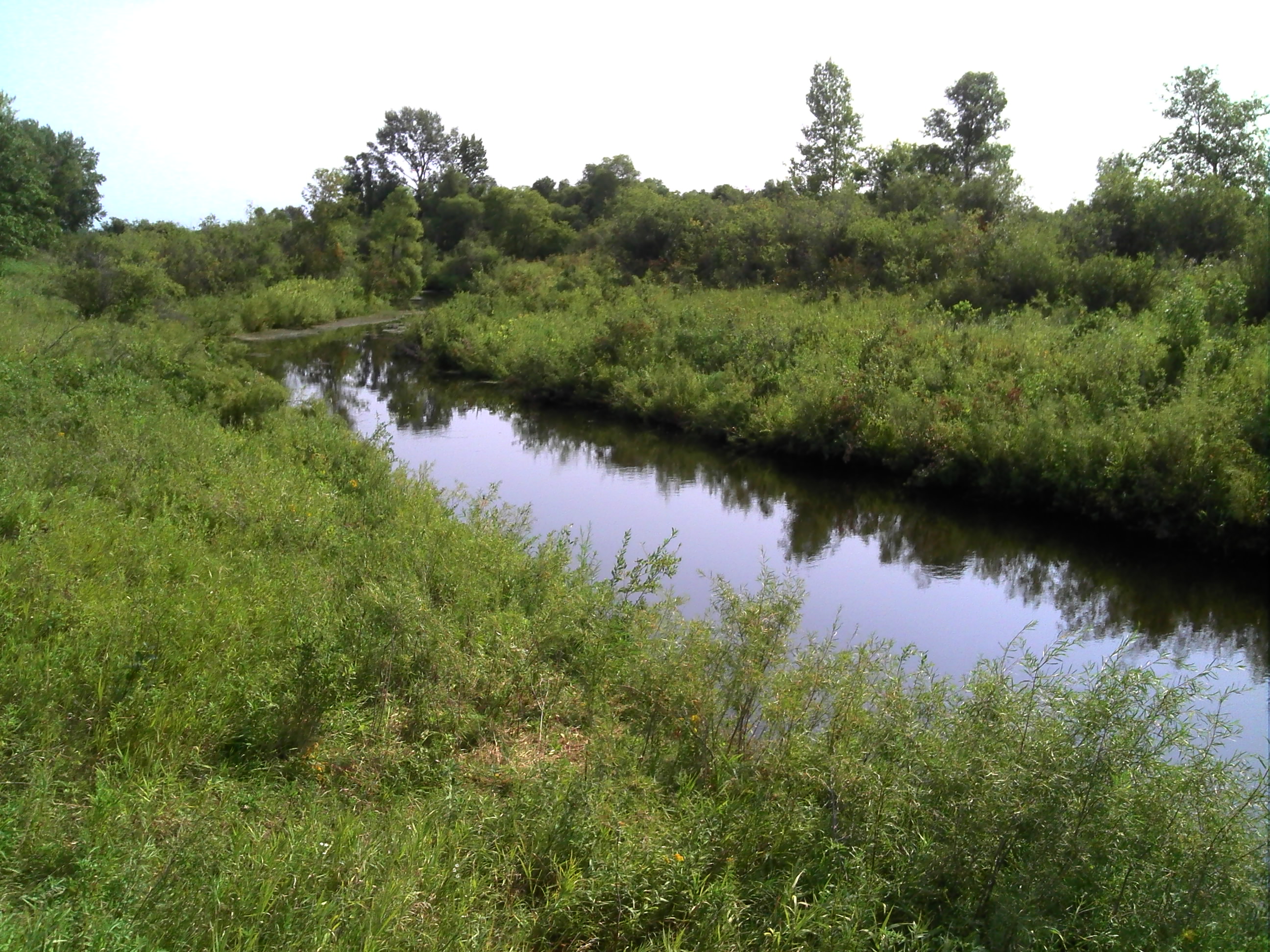
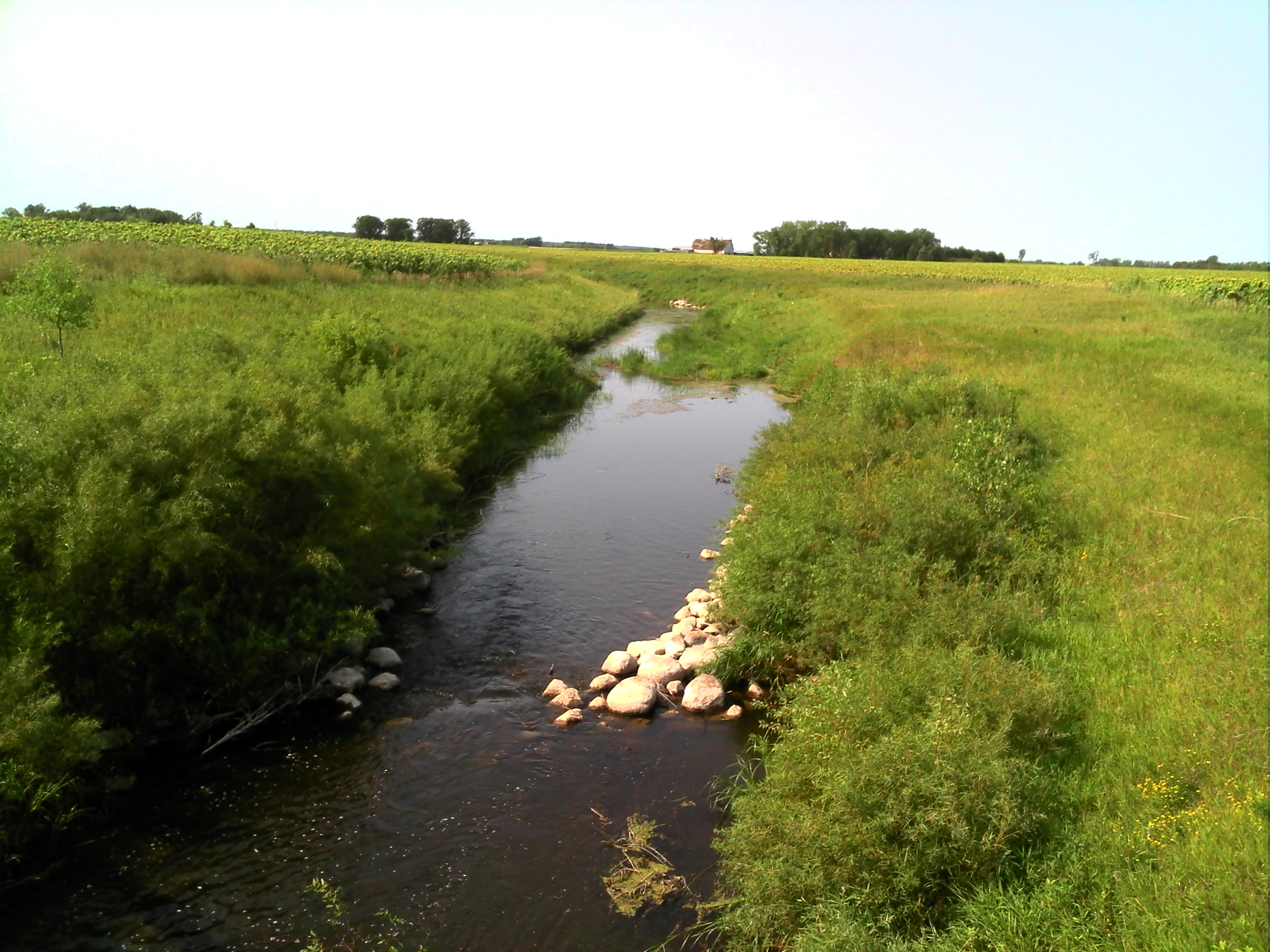
Related Photos:
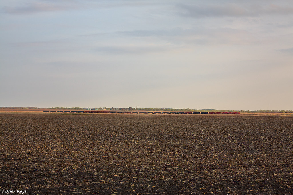
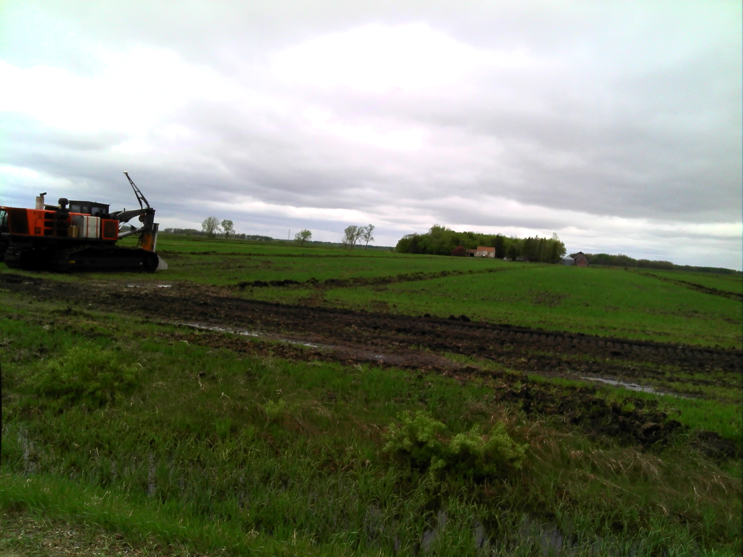
The Trail Turn H54 Between Trail & Oklee: Two Locomotives & 25 Open Hoppers

The Trail Turn (CP H54) at MP 419.98 CP Bemidji Subdivision
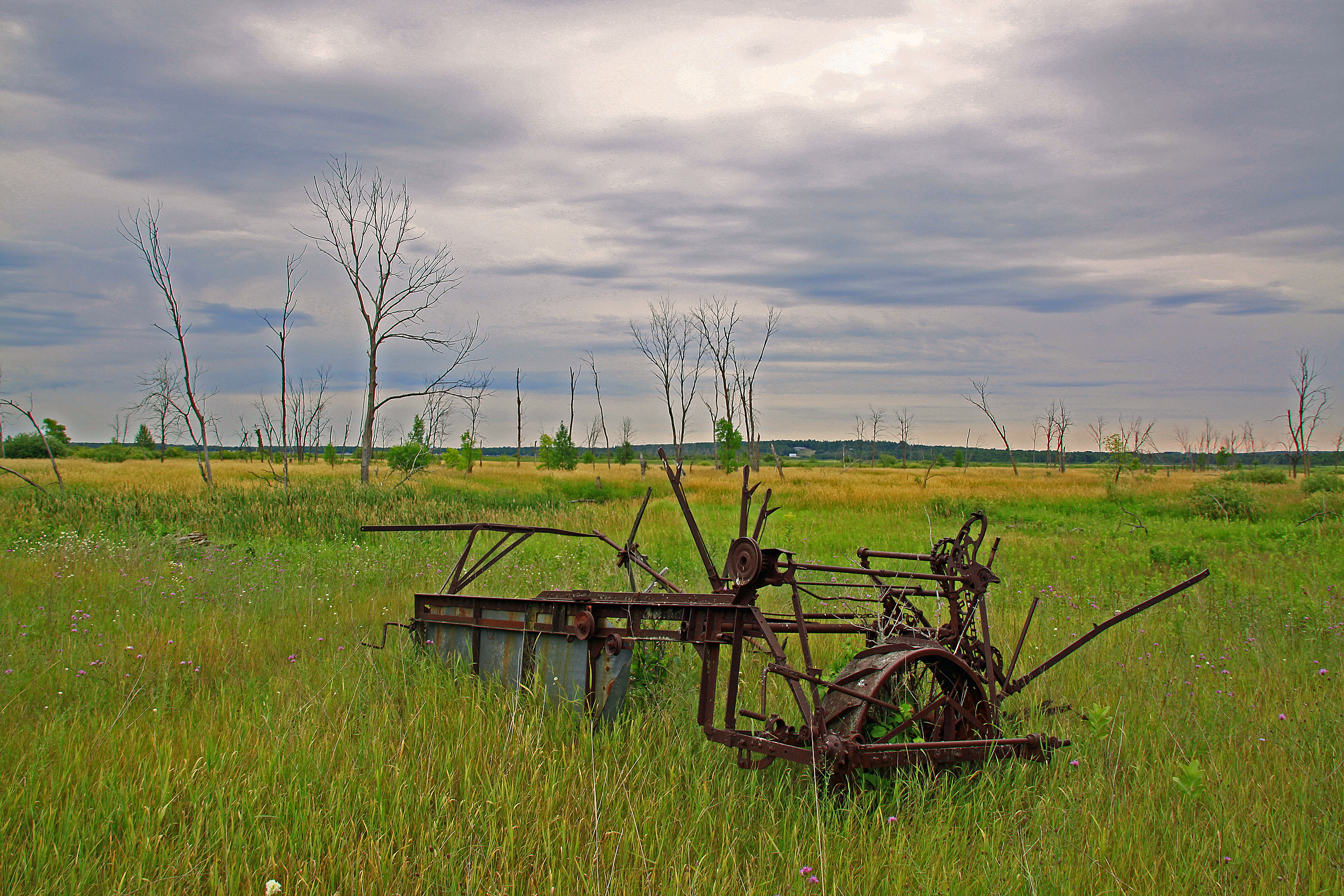
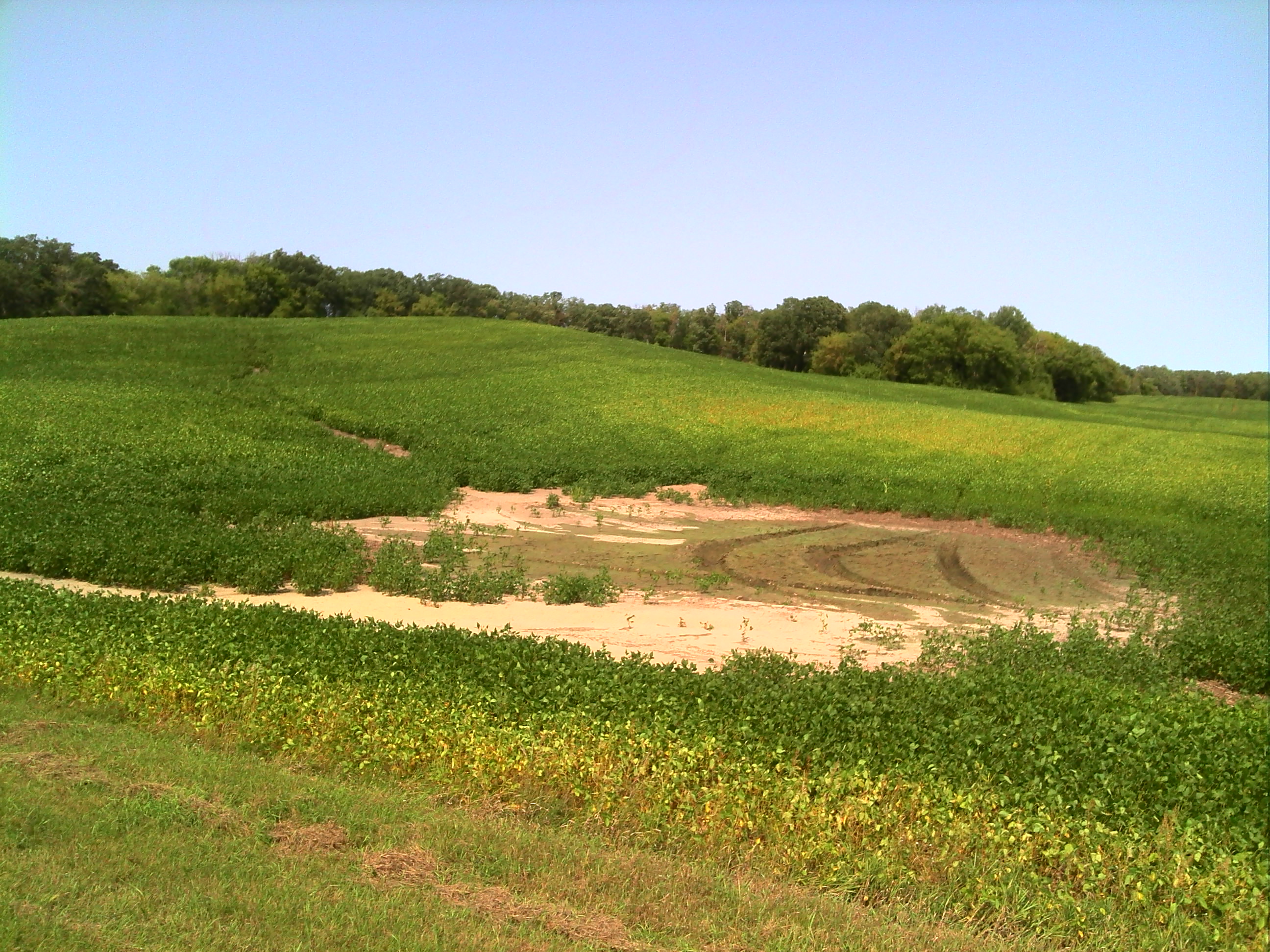
An Old Farm Implement
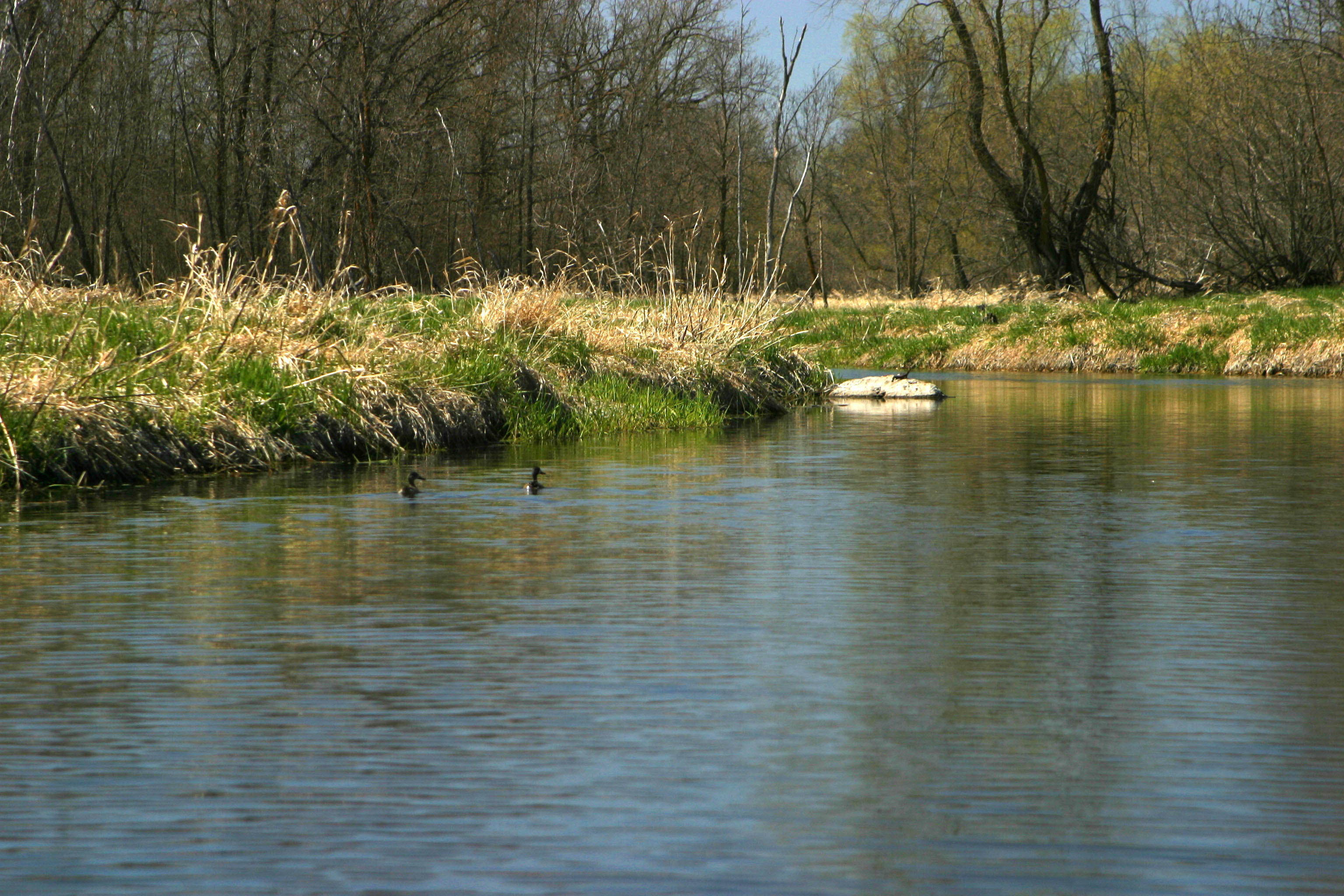
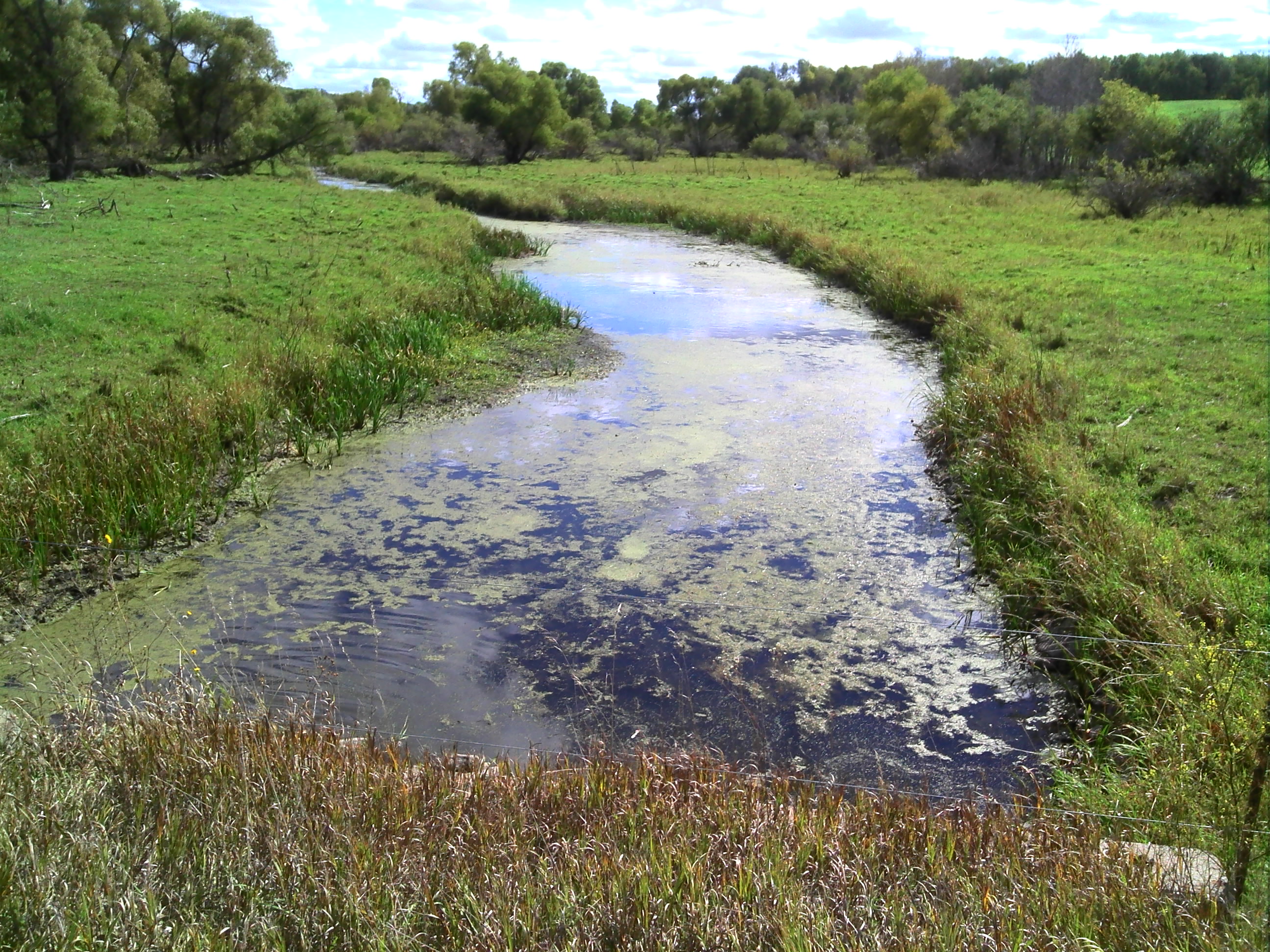
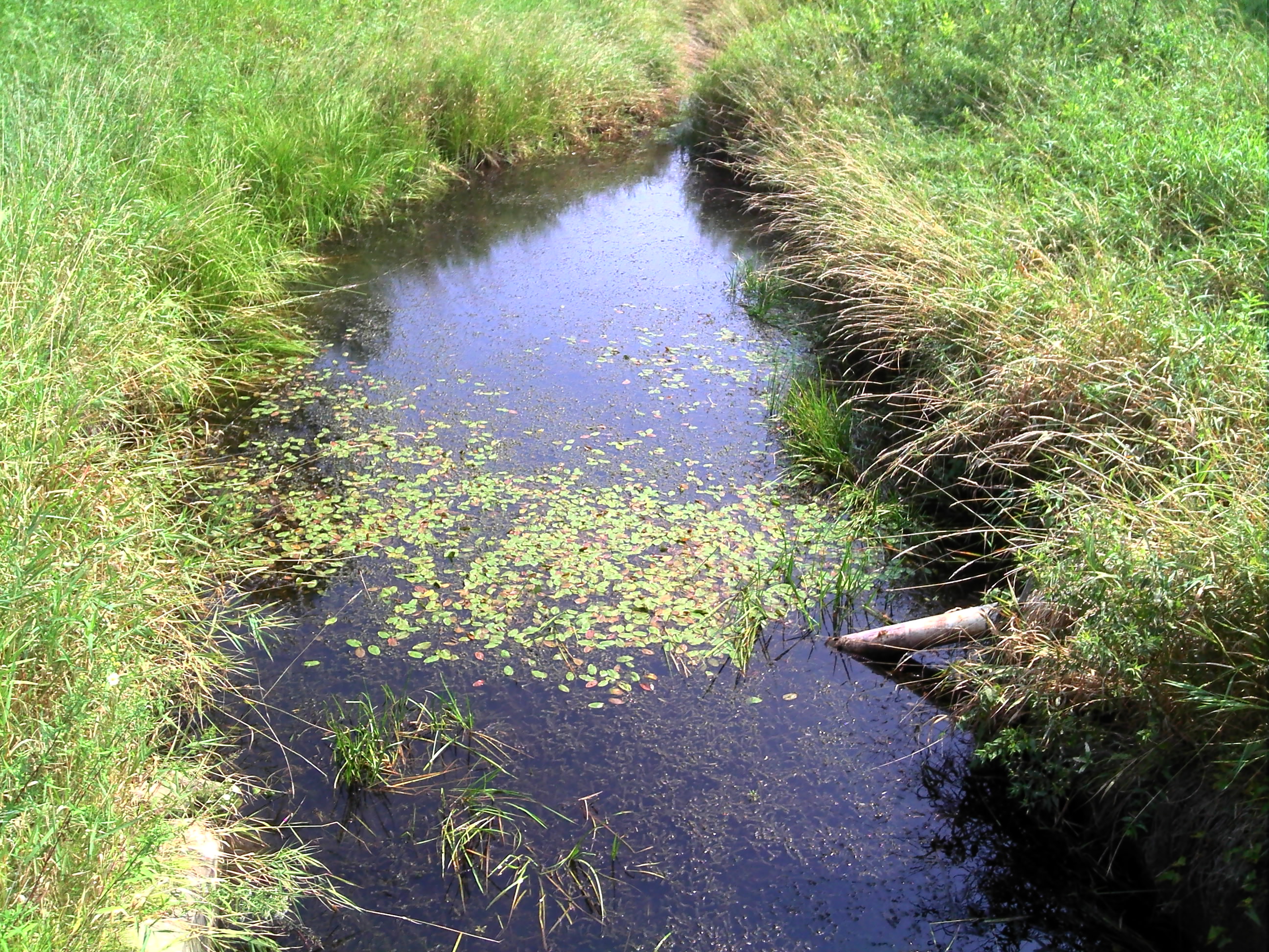
Turtle ahead
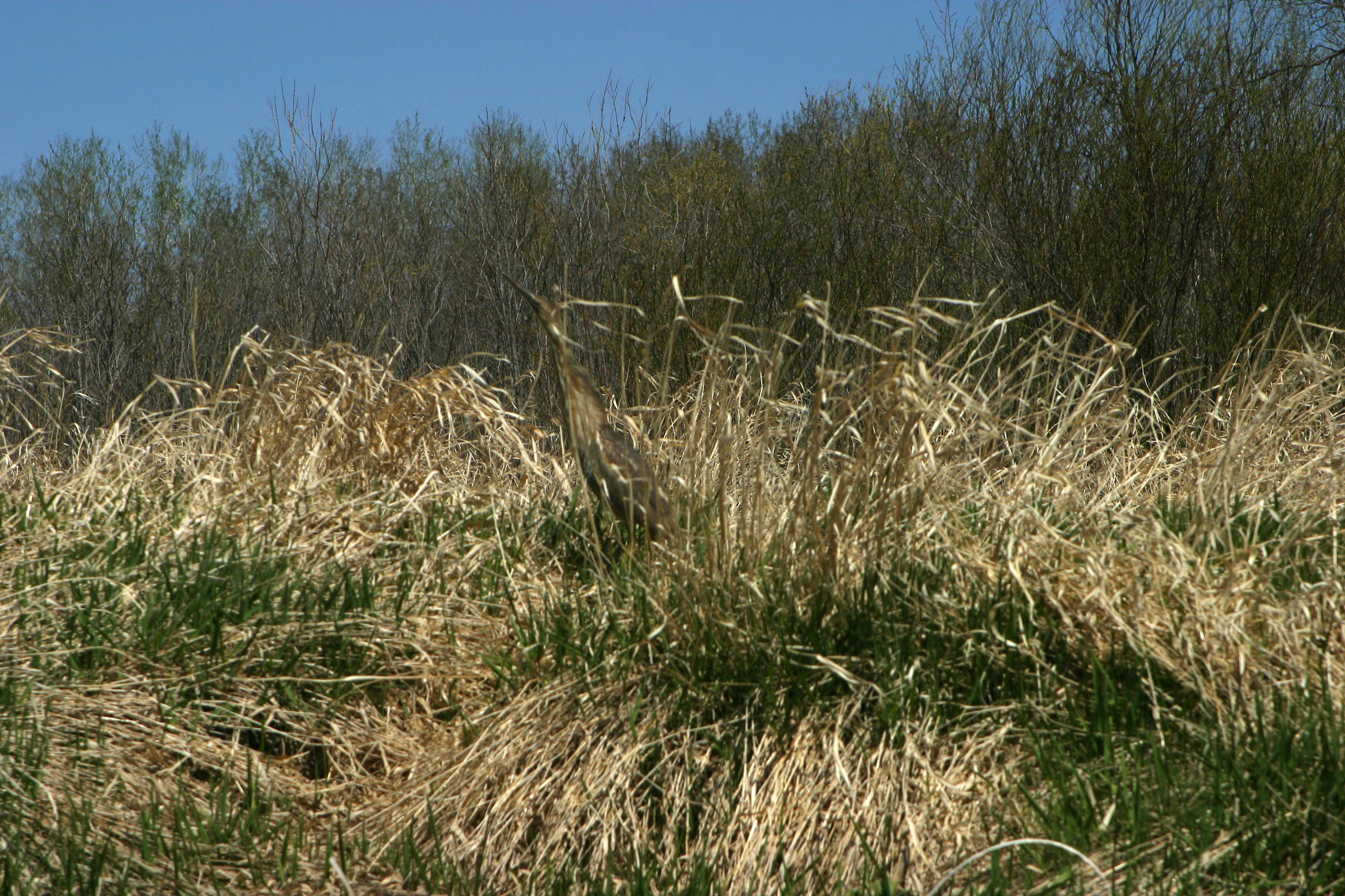
American Bitern
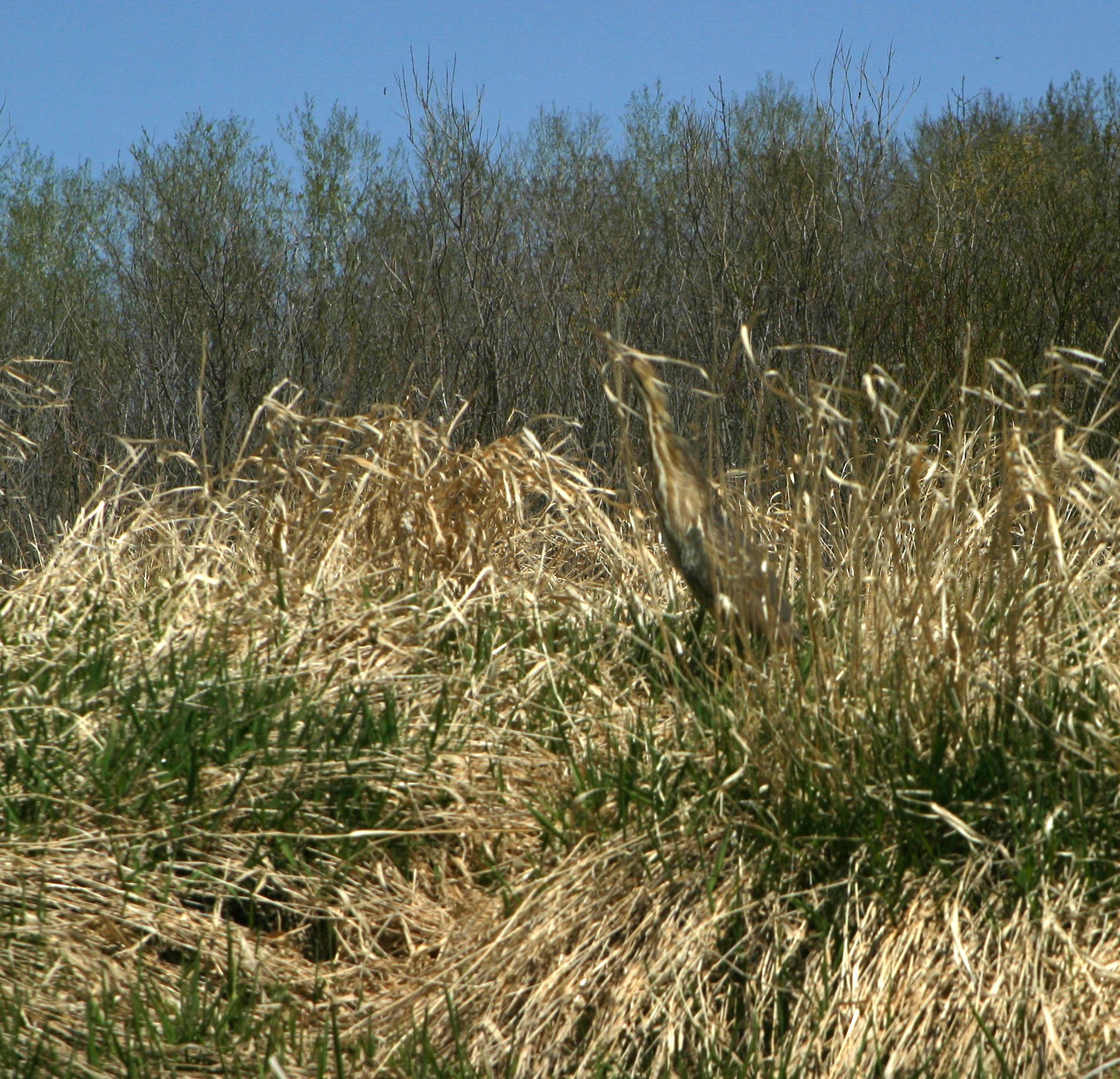
American Bitern

GPS pictures 1203
GPS pictures 1204

GPS pictures 1357
GPS pictures 1214
GPS pictures 985
GPS pictures 1248
GPS pictures 987
GPS pictures 1359
GPS pictures 1246
GPS pictures 986
GPS pictures 1211
GPS pictures 1244
GPS pictures 1243
Topographic Map of Trail, MN, USA
Find elevation by address:

Places near Trail, MN, USA:
S Johnson Ave, Fosston, MN, USA
Fosston
Mcintosh
1st St S, Lengby, MN, USA
US-2, Erskine, MN, USA
37669 Us-59
Erskine
Mahnomen County
Beaulieu Township
2nd St N, Mentor, MN, USA
Co Rd 3, Mahnomen, MN, USA
Resv Hwy 70, Naytahwaush, MN, USA
123 N Main St
White Earth Reservation
Oakland Township
Snider Lake
Fertile
Waubun
Pleasant Ave, Waubun, MN, USA
White Earth Township
Recent Searches:
- Elevation of 6 Rue Jules Ferry, Beausoleil, France
- Elevation of Sattva Horizon, 4JC6+G9P, Vinayak Nagar, Kattigenahalli, Bengaluru, Karnataka, India
- Elevation of Great Brook Sports, Gold Star Hwy, Groton, CT, USA
- Elevation of 10 Mountain Laurels Dr, Nashua, NH, USA
- Elevation of 16 Gilboa Ln, Nashua, NH, USA
- Elevation of Laurel Rd, Townsend, TN, USA
- Elevation of 3 Nestling Wood Dr, Long Valley, NJ, USA
- Elevation of Ilungu, Tanzania
- Elevation of Yellow Springs Road, Yellow Springs Rd, Chester Springs, PA, USA
- Elevation of Rēzekne Municipality, Latvia