Elevation of US-59, Lockesburg, AR, USA
Location: United States > Arkansas > Sevier County > Red Colony Township > Lockesburg >
Longitude: -94.175522
Latitude: 33.9351344
Elevation: 123m / 404feet
Barometric Pressure: 100KPa
Elevation Map:
Satellite Map:
Related Photos:

Davis Slough-Side View

Davis Slough-Deck View
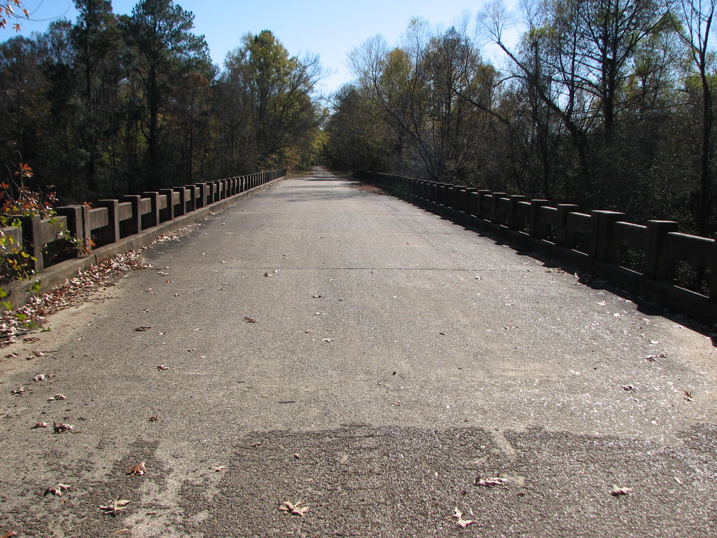
Davis Slough-Deck View

pretty sky
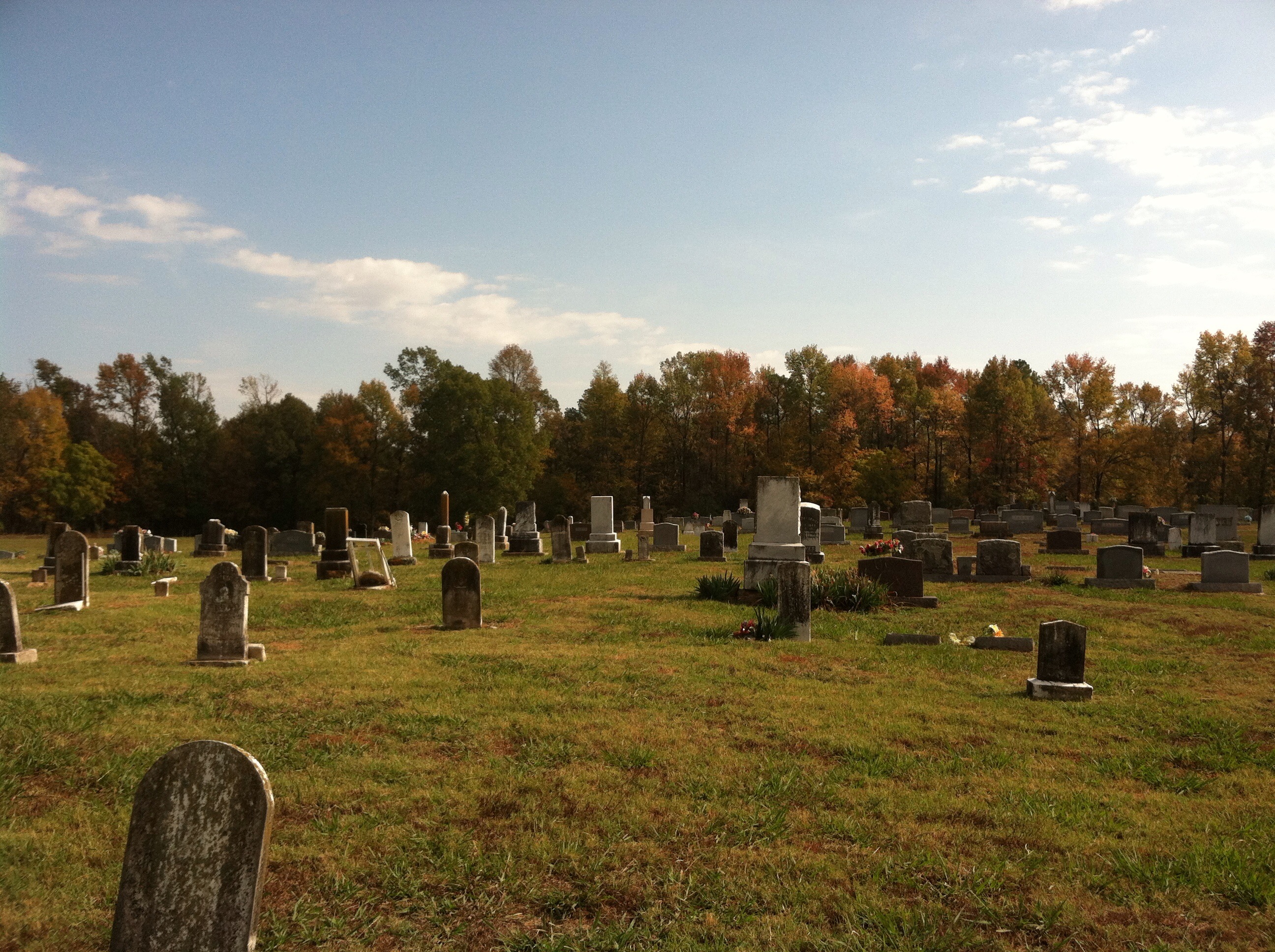
Bellville Church & Cemetery

Abandoned in Howard County

Bridge Ahead
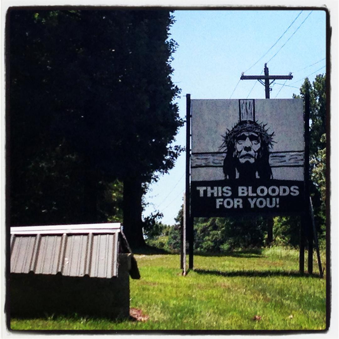
up for over 20 years and I have still not gotten over my fascination with this roadside sign... #HWY71 #bloodweiser

Iris's from the yard 2013

Valentine's day roses 2013

pink roses
Brittany's pictures
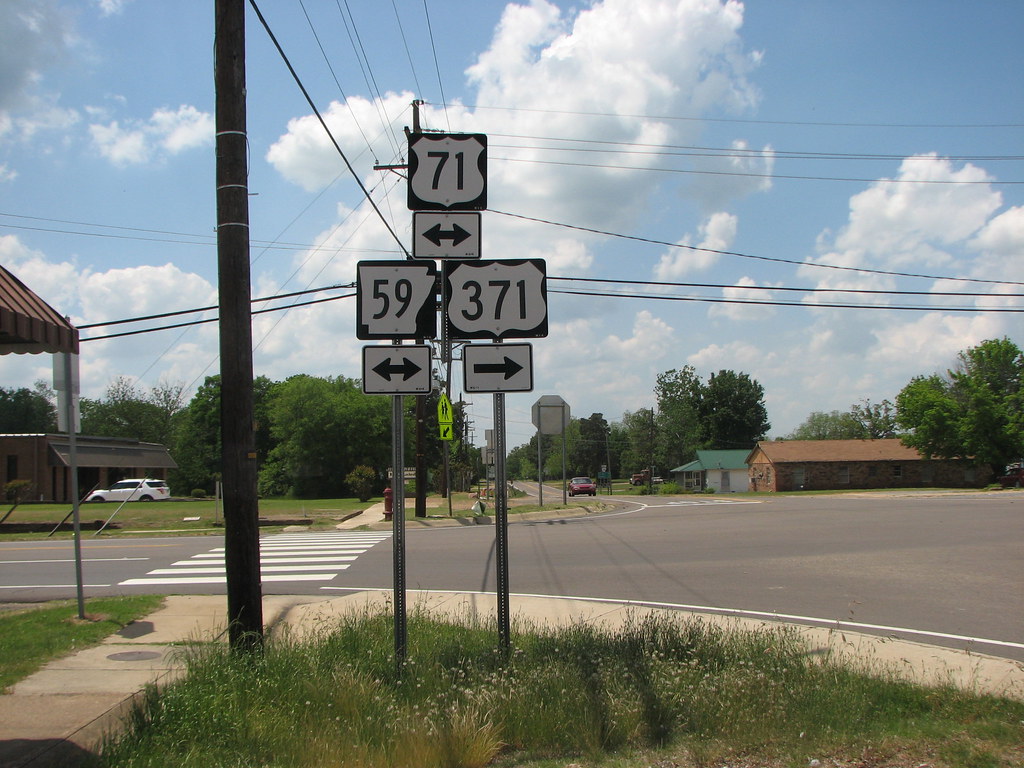
59 Gets Demoted

Victoria's bedroom door

Victoria's Harry Potter Doors
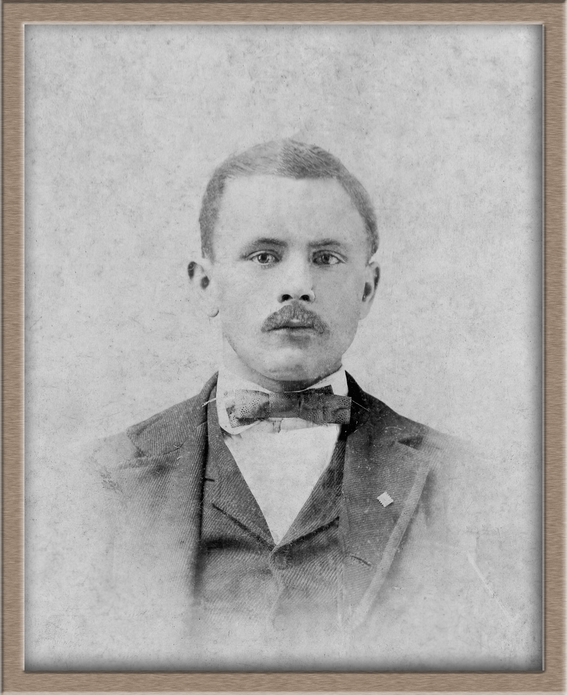
My Great Grandfather James Thomas Spigner (9-24-1875 to 11-19-1961)

taking pics in the car

Easter eggs

Easter eggs

Easter eggs

Cole decorating eggs

Cole working hard at egg decorating

Cole dying Easter Eggs

tree looking pretty

St. Nicholas Day
Topographic Map of US-59, Lockesburg, AR, USA
Find elevation by address:

Places near US-59, Lockesburg, AR, USA:
Lockesburg
US-59, Lockesburg, AR, USA
Red Colony Township
Co Rd 2, Lockesburg, AR, USA
AR-, Lockesburg, AR, USA
Paraclifta Township
Ben Lomond Township
Ben Lomond
Main St, Lockesburg, AR, USA
AR-27, Lockesburg, AR, USA
AR-27, Mineral Springs, AR, USA
Blue Bayou Township
Cleveland Township
Possum Hollow Rd, Dierks, AR, USA
Madison Township
Blue Bayou Rd, Nashville, AR, USA
Center Point Township
County Line Township
Dierks
Howard County
Recent Searches:
- Elevation of Corso Fratelli Cairoli, 35, Macerata MC, Italy
- Elevation of Tallevast Rd, Sarasota, FL, USA
- Elevation of 4th St E, Sonoma, CA, USA
- Elevation of Black Hollow Rd, Pennsdale, PA, USA
- Elevation of Oakland Ave, Williamsport, PA, USA
- Elevation of Pedrógão Grande, Portugal
- Elevation of Klee Dr, Martinsburg, WV, USA
- Elevation of Via Roma, Pieranica CR, Italy
- Elevation of Tavkvetili Mountain, Georgia
- Elevation of Hartfords Bluff Cir, Mt Pleasant, SC, USA