Elevation of Red Colony Township, AR, USA
Location: United States > Arkansas > Sevier County >
Longitude: -94.130906
Latitude: 33.9727623
Elevation: 155m / 509feet
Barometric Pressure: 99KPa
Elevation Map:
Satellite Map:
Related Photos:

pretty sky
Bellville Church & Cemetery
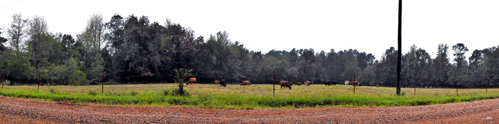
09-07-10 Cross Country Road Trip 05

Abandoned in Howard County

Bridge Ahead

Hale Creek Bridge

Morava Bridge
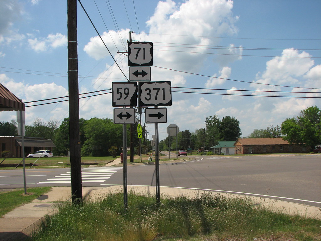
59 Gets Demoted

taking pics in the car
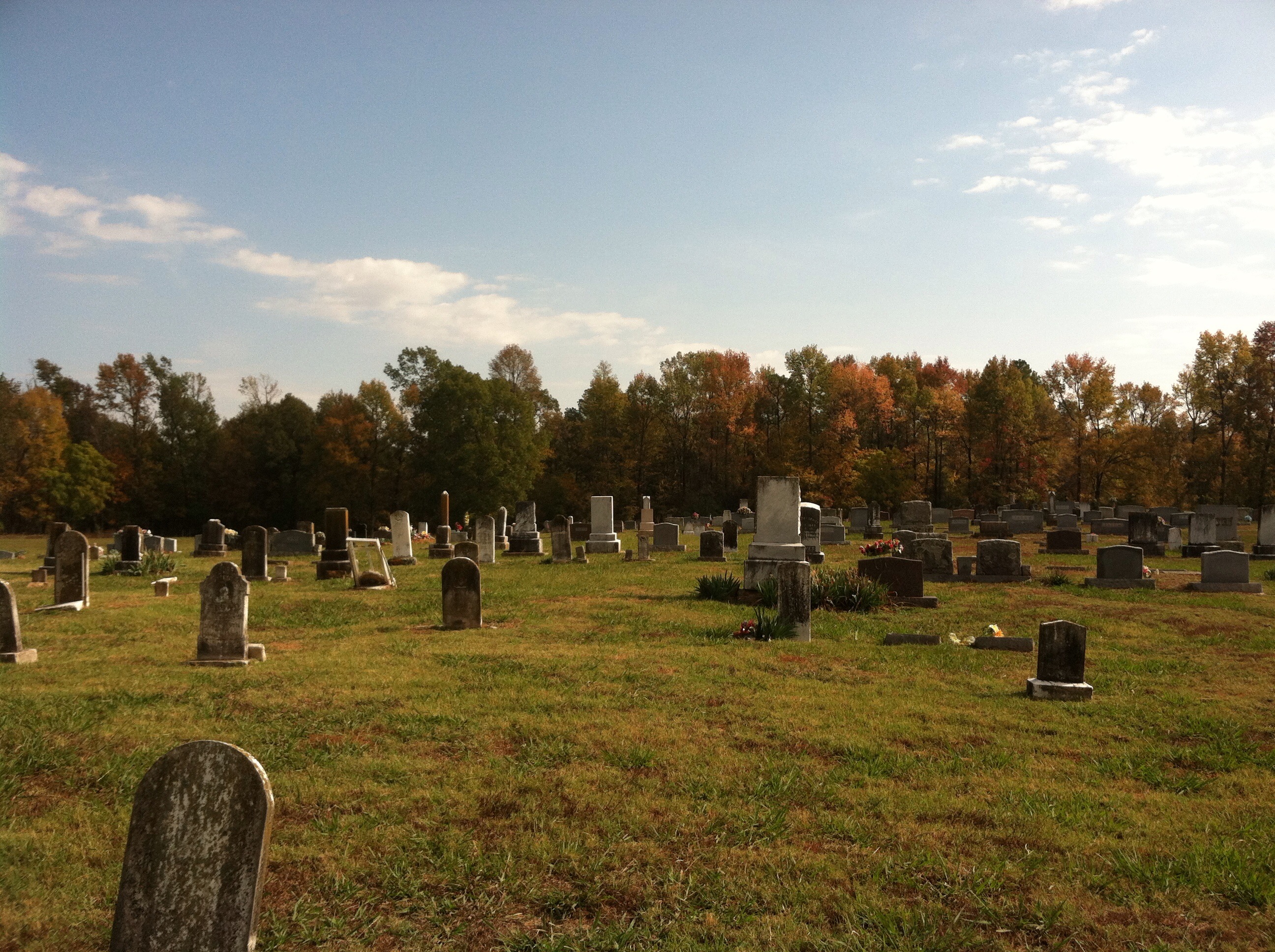
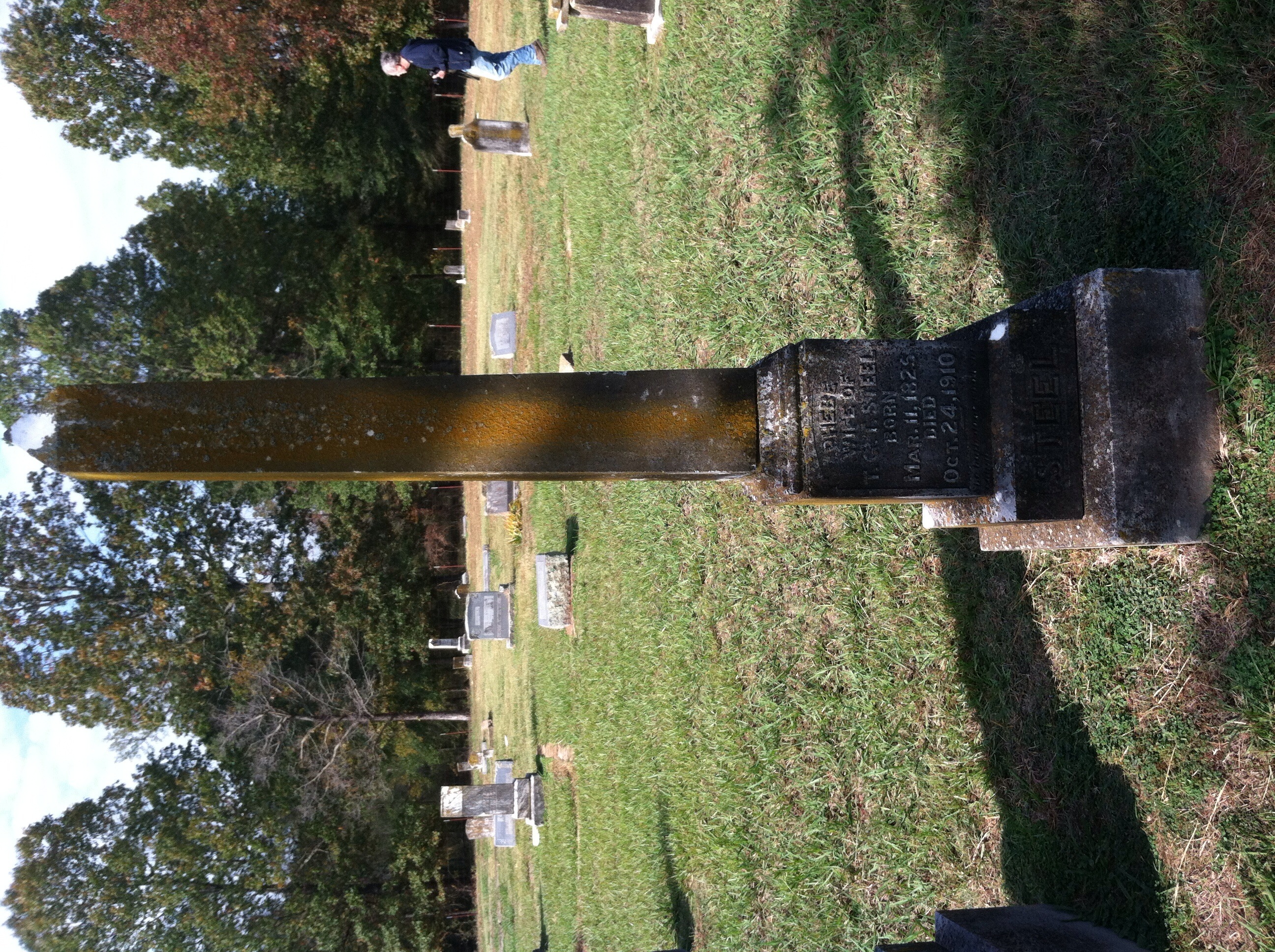
Bellville Church & Cemetery
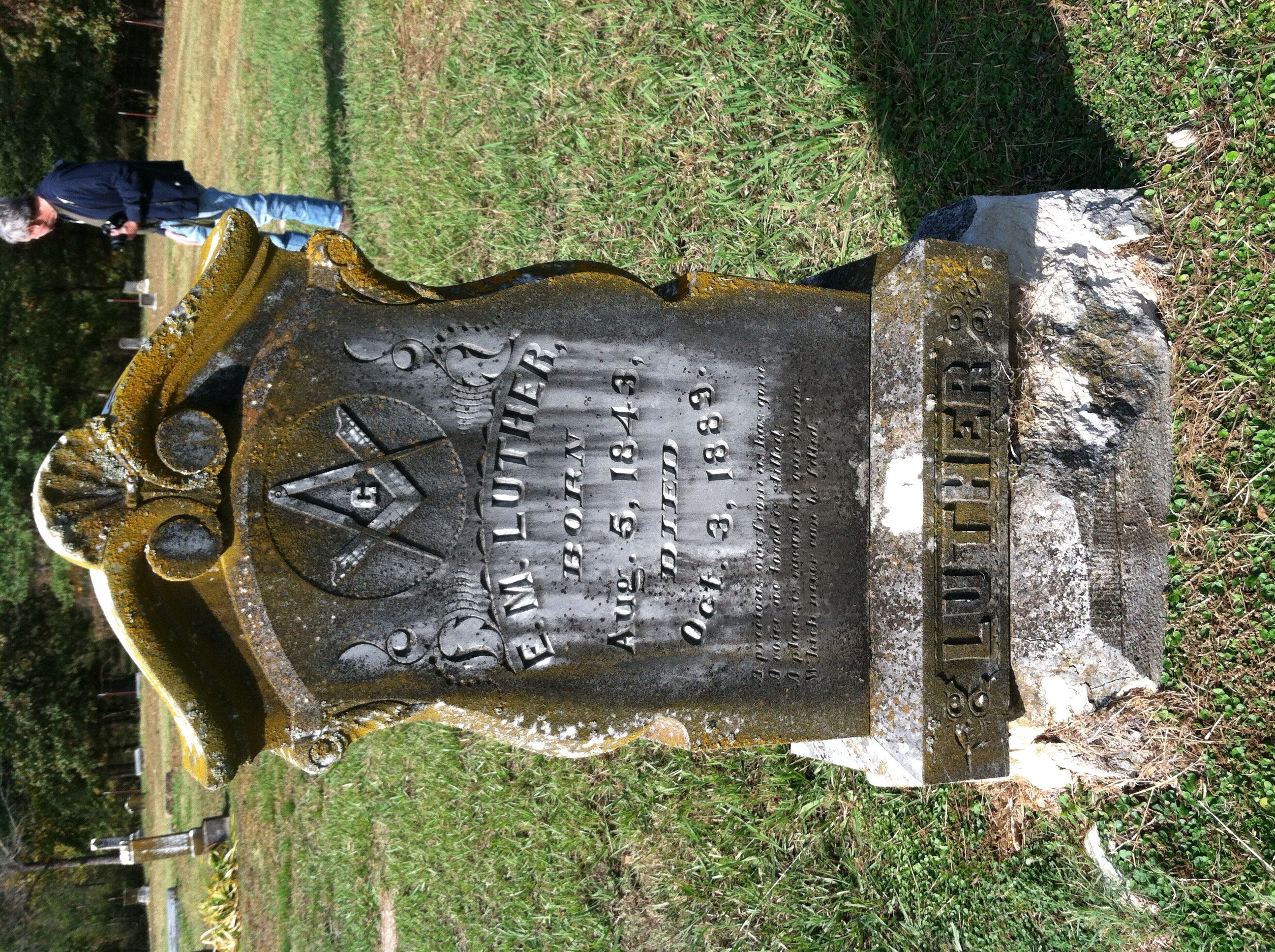
Bellville Church & Cemetery
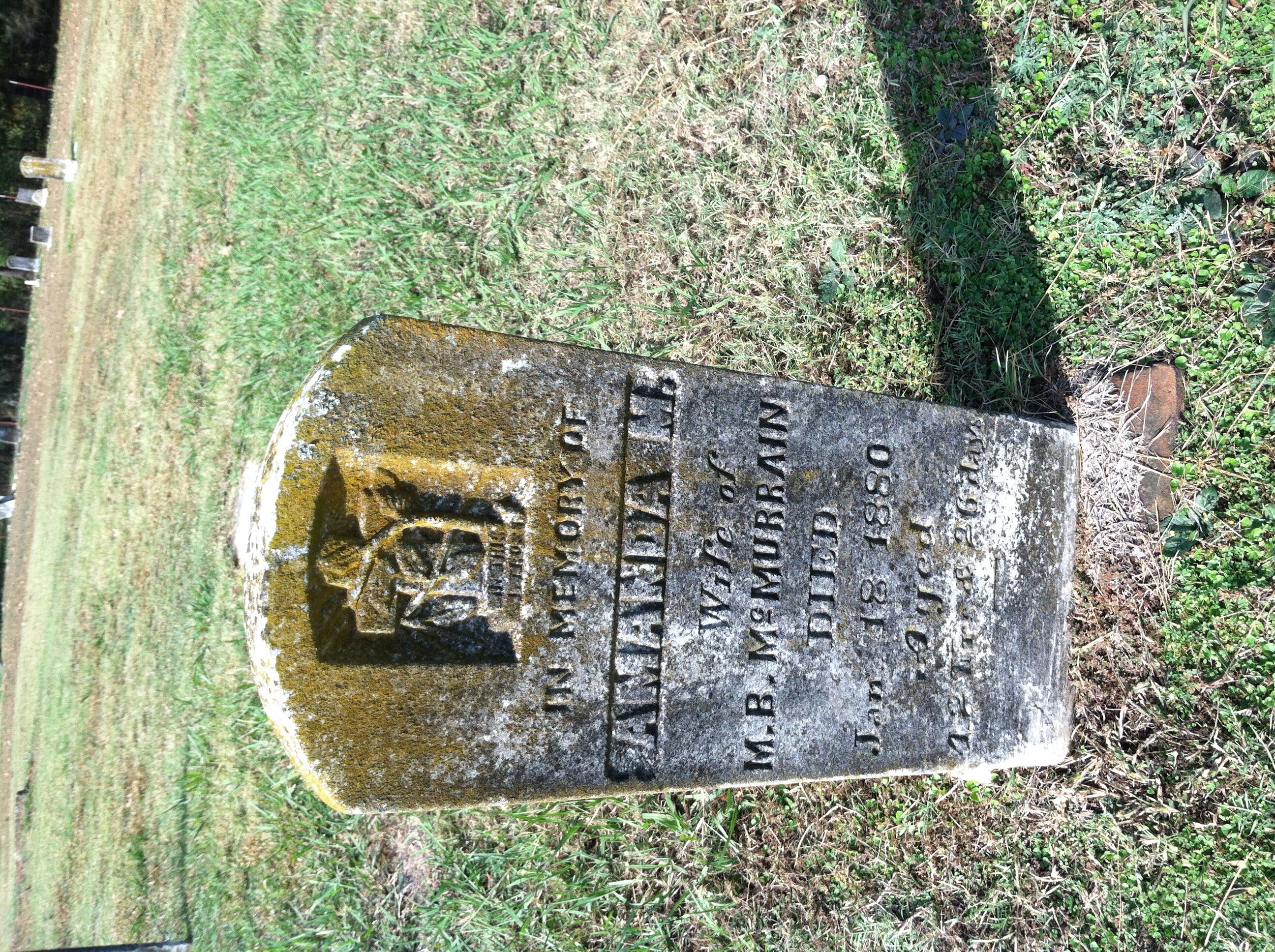
Bellville Church & Cemetery
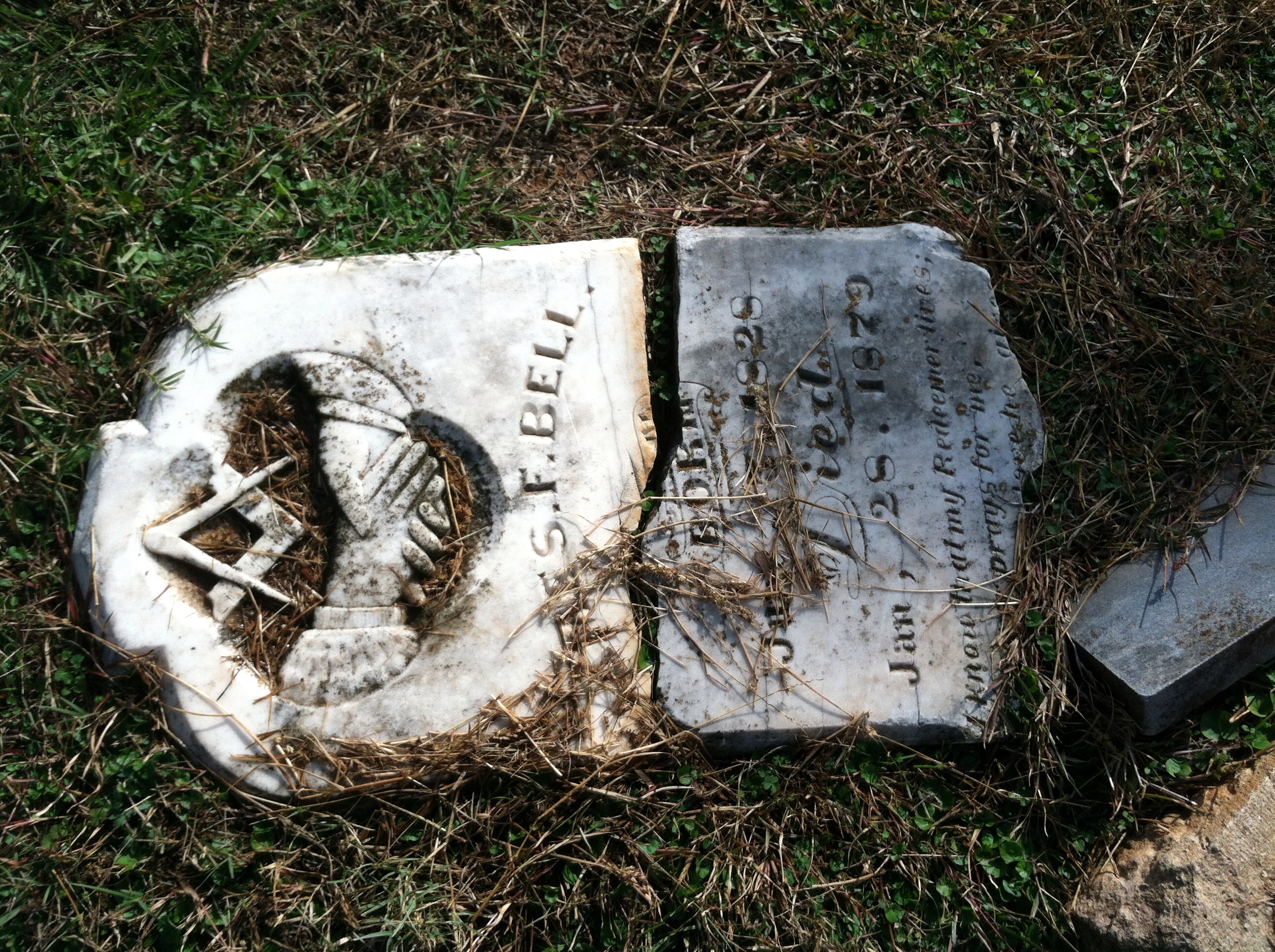
Bellville Church & Cemetery
Bellville Church & Cemetery
Bellville Church & Cemetery
Bellville Church & Cemetery
Bellville Church & Cemetery

Bellville Church & Cemetery

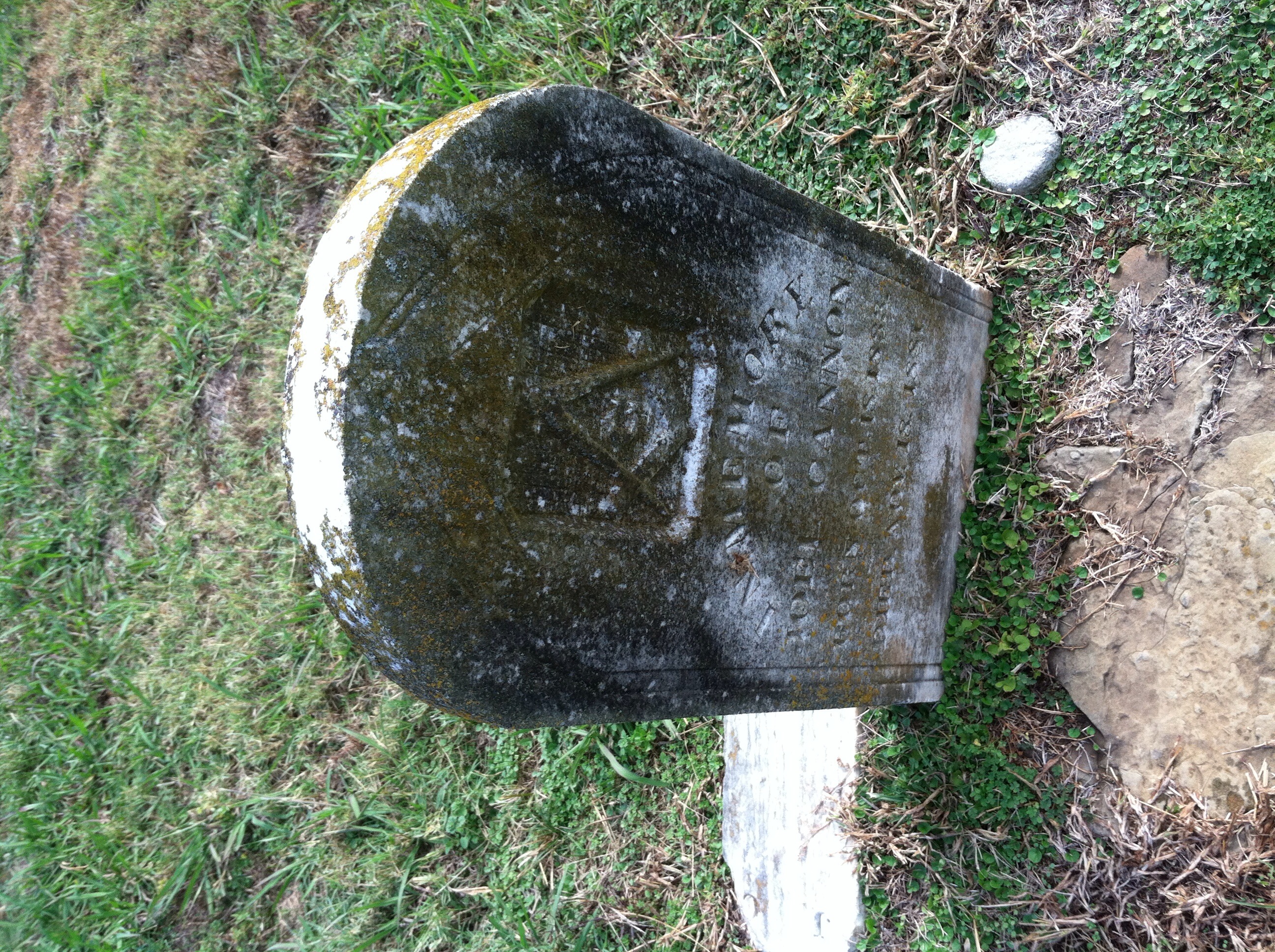
My Great Grandfather James Thomas Spigner (9-24-1875 to 11-19-1961)
Bellville Church & Cemetery
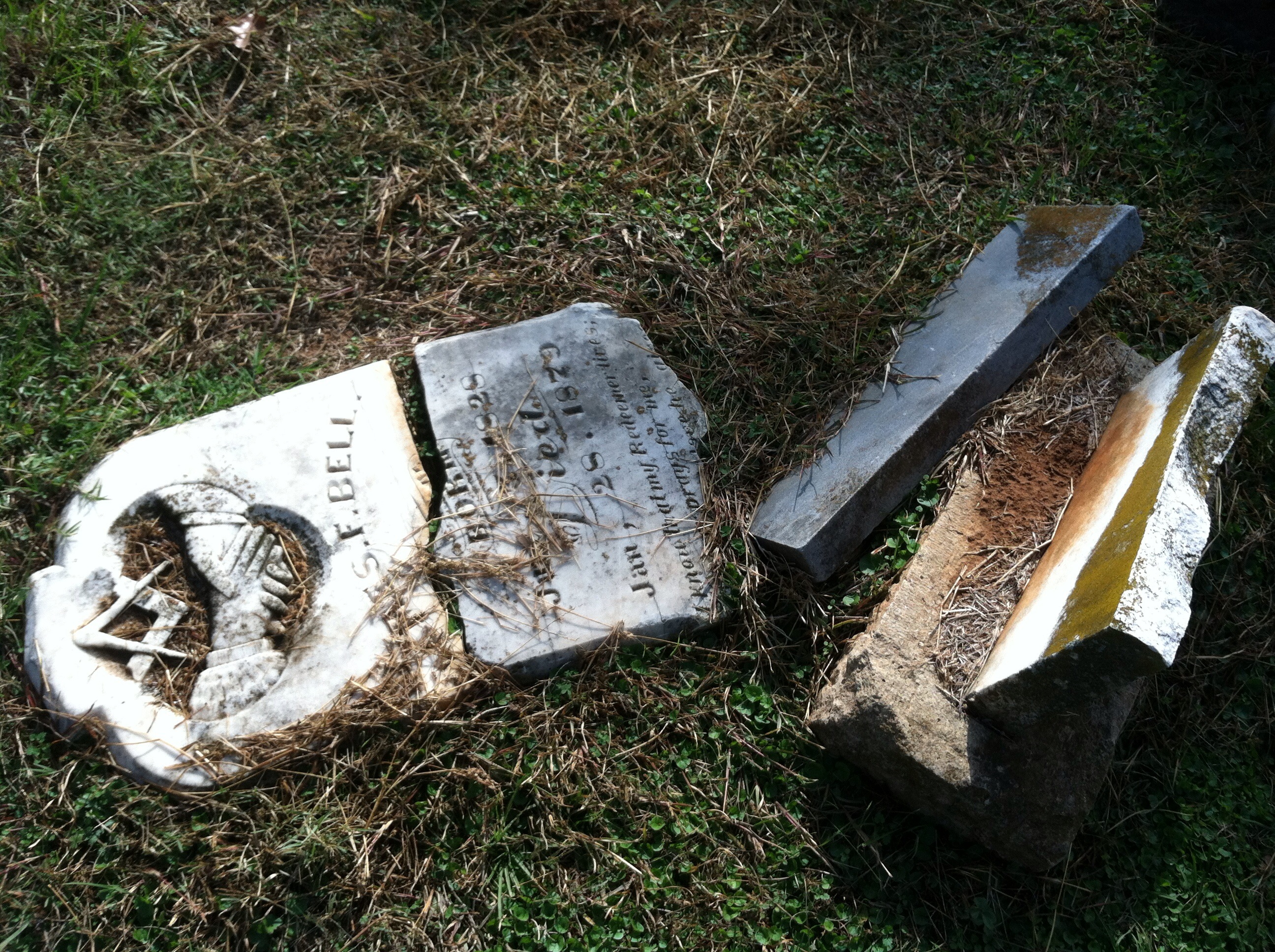
Bellville Church & Cemetery
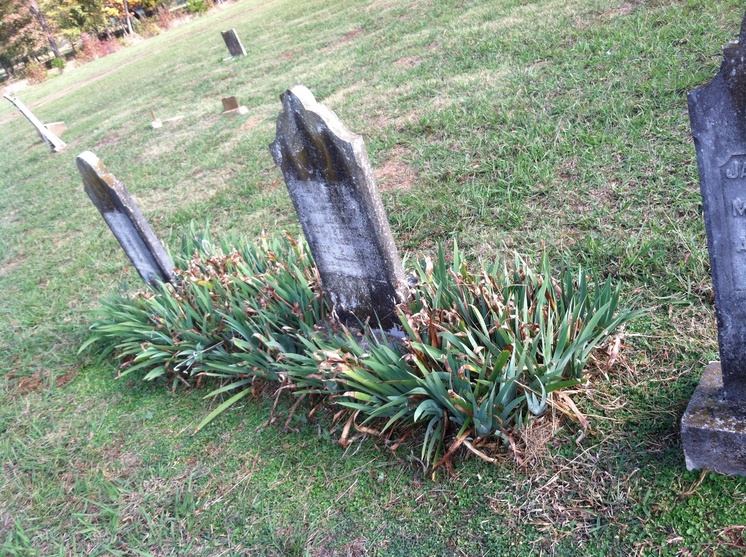
Bellville Church & Cemetery
Topographic Map of Red Colony Township, AR, USA
Find elevation by address:

Places in Red Colony Township, AR, USA:
Places near Red Colony Township, AR, USA:
Lockesburg
US-59, Lockesburg, AR, USA
AR-, Lockesburg, AR, USA
Co Rd 2, Lockesburg, AR, USA
US-59, Lockesburg, AR, USA
Ben Lomond Township
Ben Lomond
Main St, Lockesburg, AR, USA
AR-27, Lockesburg, AR, USA
Paraclifta Township
Possum Hollow Rd, Dierks, AR, USA
Madison Township
Blue Bayou Township
AR-27, Mineral Springs, AR, USA
Center Point Township
Blue Bayou Rd, Nashville, AR, USA
Dierks
Howard County
Center Point
County Line Township
Recent Searches:
- Elevation of Corso Fratelli Cairoli, 35, Macerata MC, Italy
- Elevation of Tallevast Rd, Sarasota, FL, USA
- Elevation of 4th St E, Sonoma, CA, USA
- Elevation of Black Hollow Rd, Pennsdale, PA, USA
- Elevation of Oakland Ave, Williamsport, PA, USA
- Elevation of Pedrógão Grande, Portugal
- Elevation of Klee Dr, Martinsburg, WV, USA
- Elevation of Via Roma, Pieranica CR, Italy
- Elevation of Tavkvetili Mountain, Georgia
- Elevation of Hartfords Bluff Cir, Mt Pleasant, SC, USA