Elevation of US-50, Pollock Pines, CA, USA
Location: United States > California > Placer County > Pollock Pines >
Longitude: -120.53017
Latitude: 38.7599955
Elevation: 1102m / 3615feet
Barometric Pressure: 89KPa
Elevation Map:
Satellite Map:
Related Photos:

Apple Hill in the Rear View Mirror
Sunset Vineyard

Jenkinson Lake at blue hour
Morning Mist

Can you spot @she.roams and my dog enjoying the view?

Oct-11-Apple Hill-4ps

sunset, Mormon Emigran Trail, Sierra Nevada, CA 1997_05_31.jpg
Trail of Stars
Ice House Reservoir

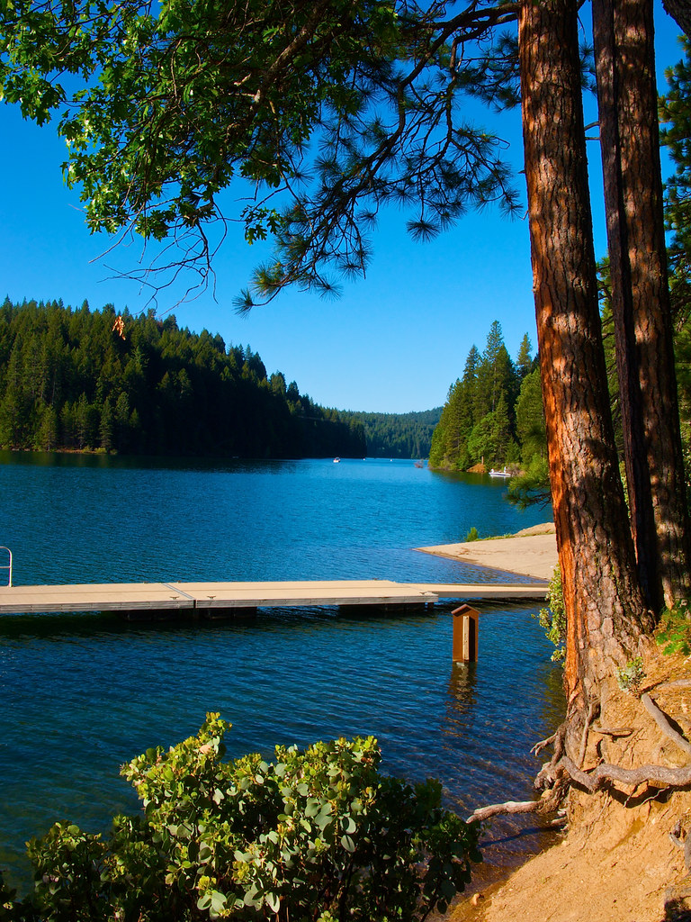
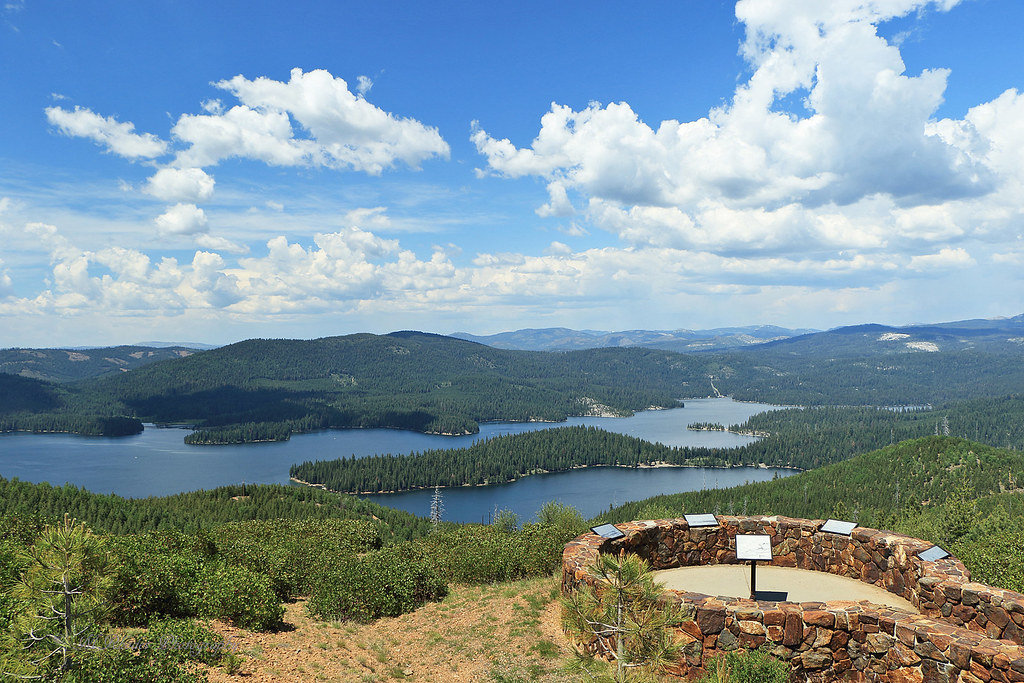
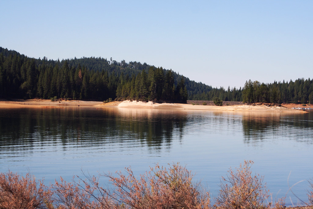
Jenkinson Lake - Pollock Pines
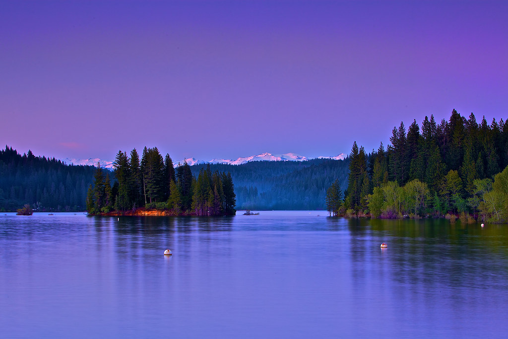
Jenkinson Lake at blue hour
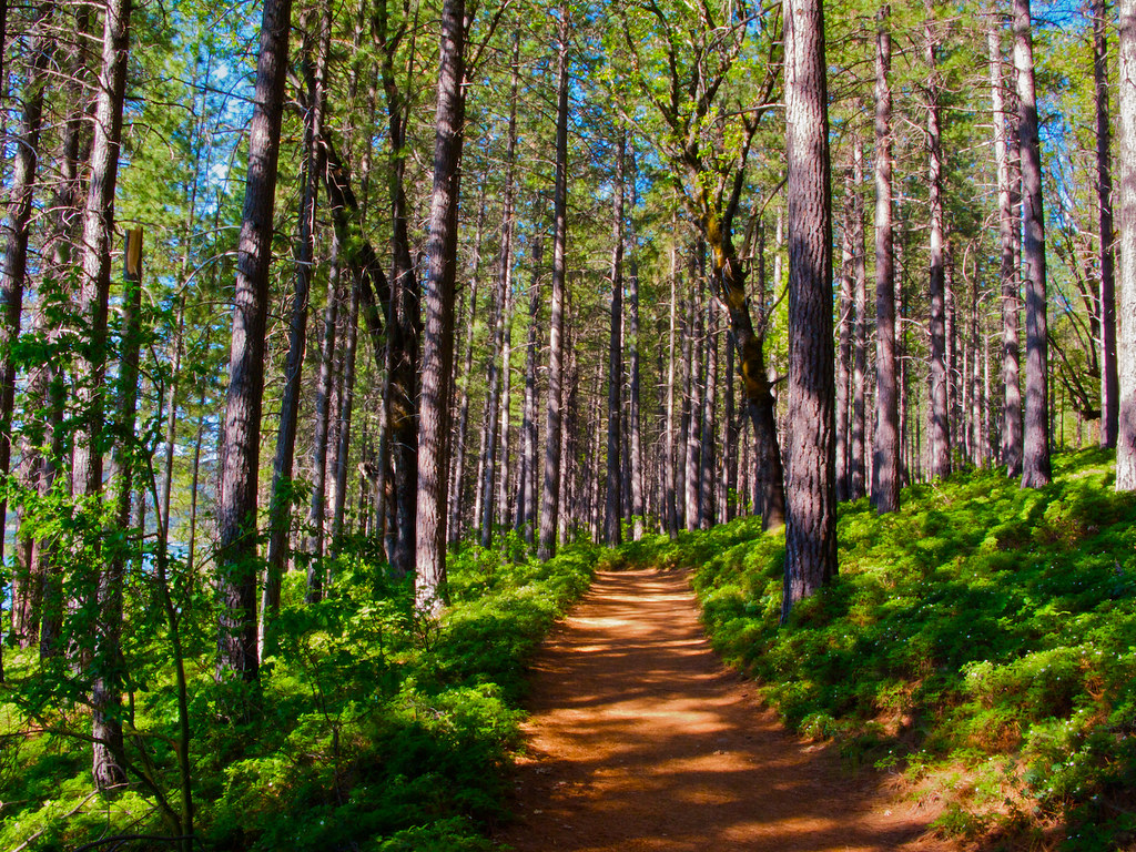
Jenkinson Lake Hiking Trail - 1
Lake in Pollock Pines

Jenkinson Lake at night
Jenkinson Lake - 20090523 - 6
Jenkinson Lake - 20090523 - 3

Jenkinson Lake - 20090523 - 4

Jenkinson Lake - 20090523 - 5

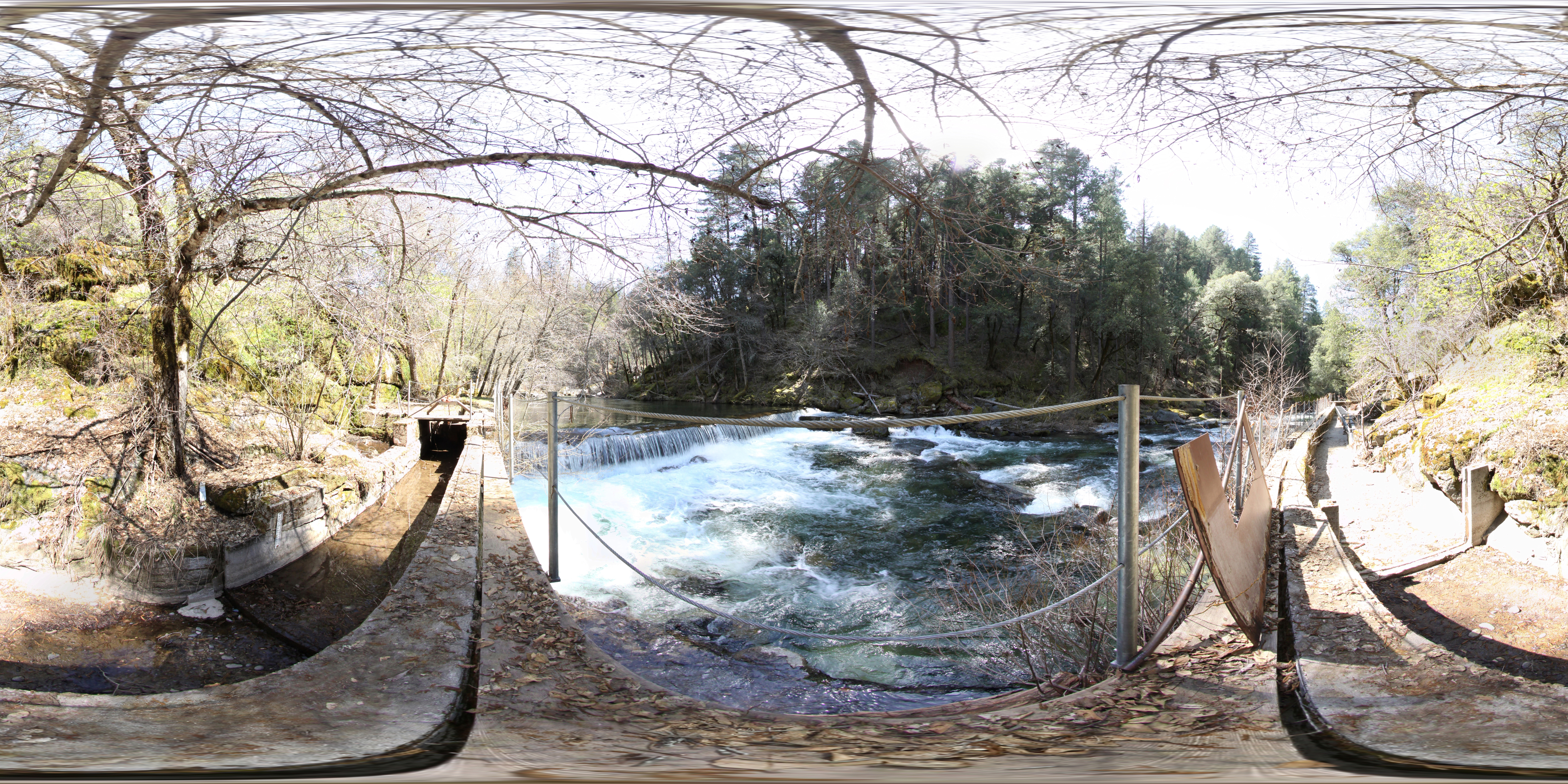
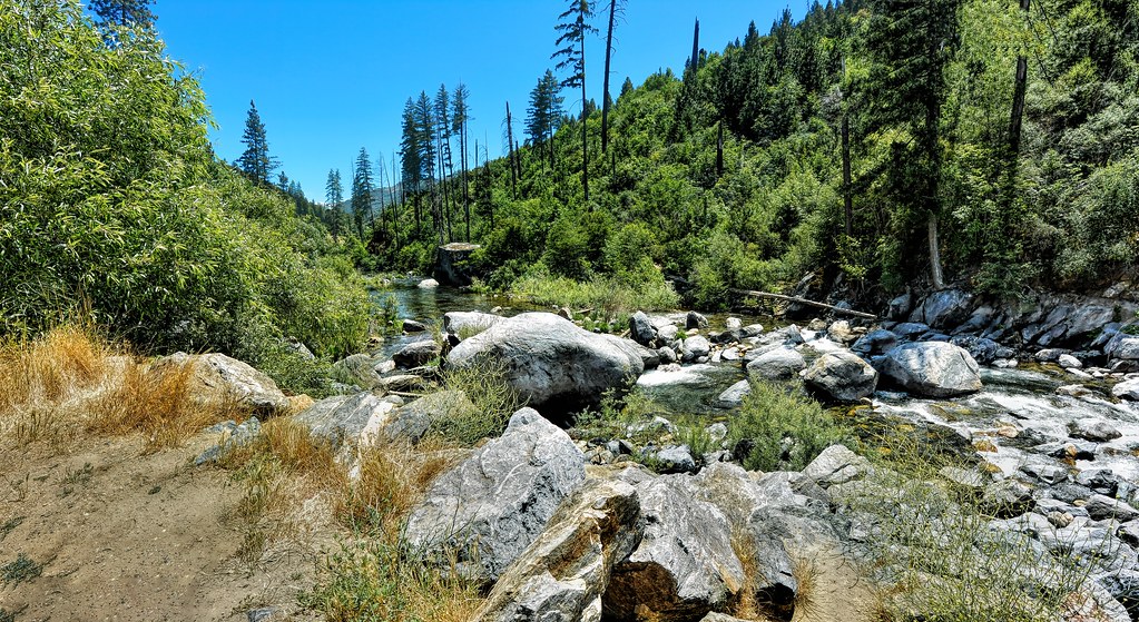
Sly Park Creek - Pollock Pines _2

Jenkinson Lake - 20090523 - 1
Cabin - River
Cross Section of the American River

Geese grazing in a field - Tiny Planet
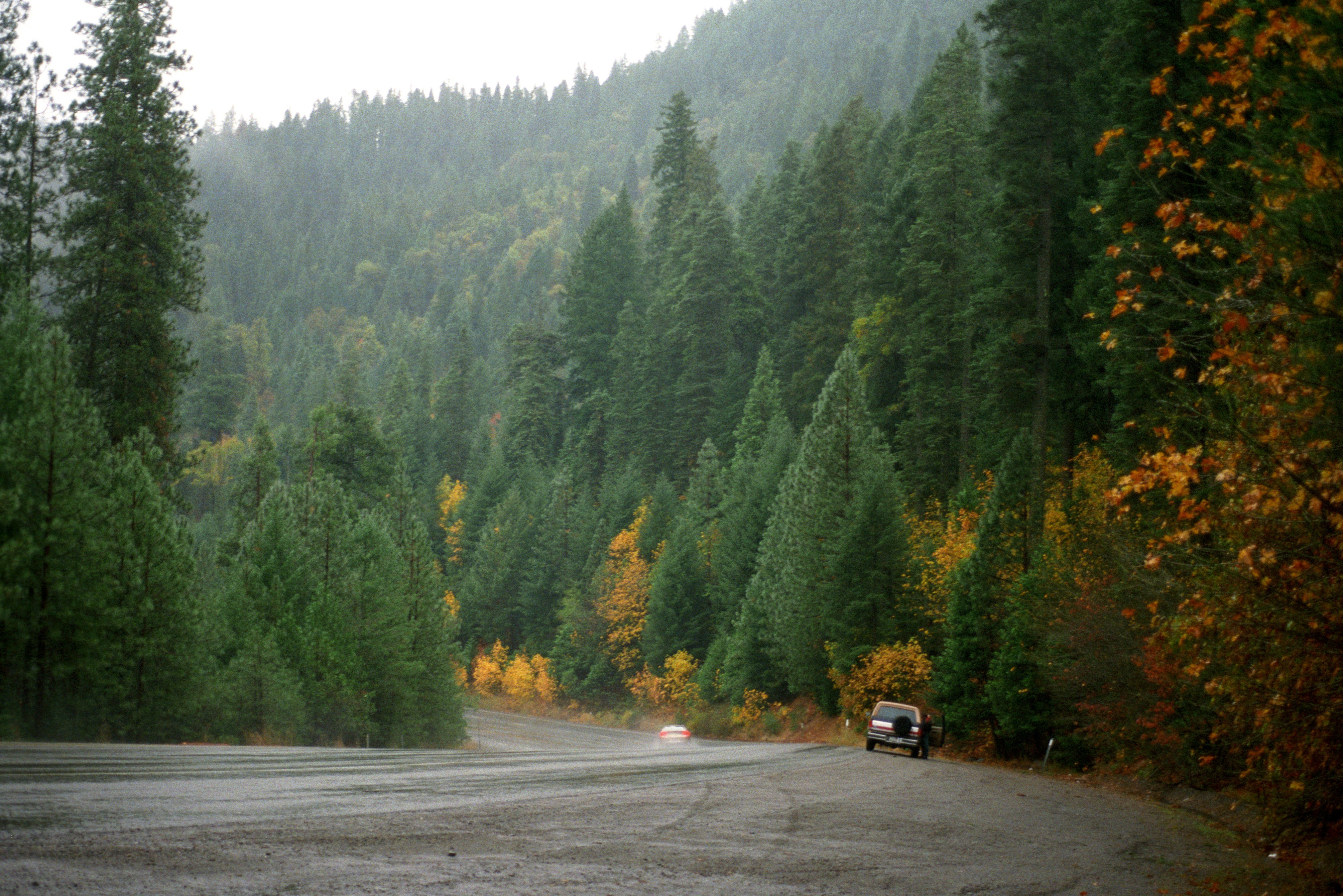
U.S. Route 50 California Mtns
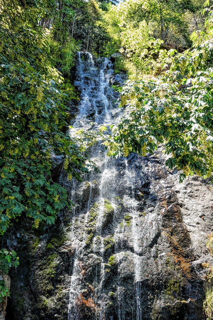
Bridal Veil Falls in Green
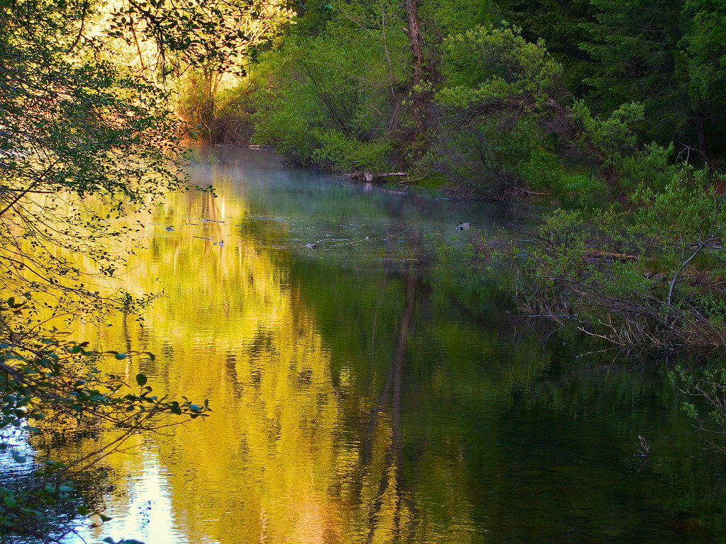
Iowa Creek
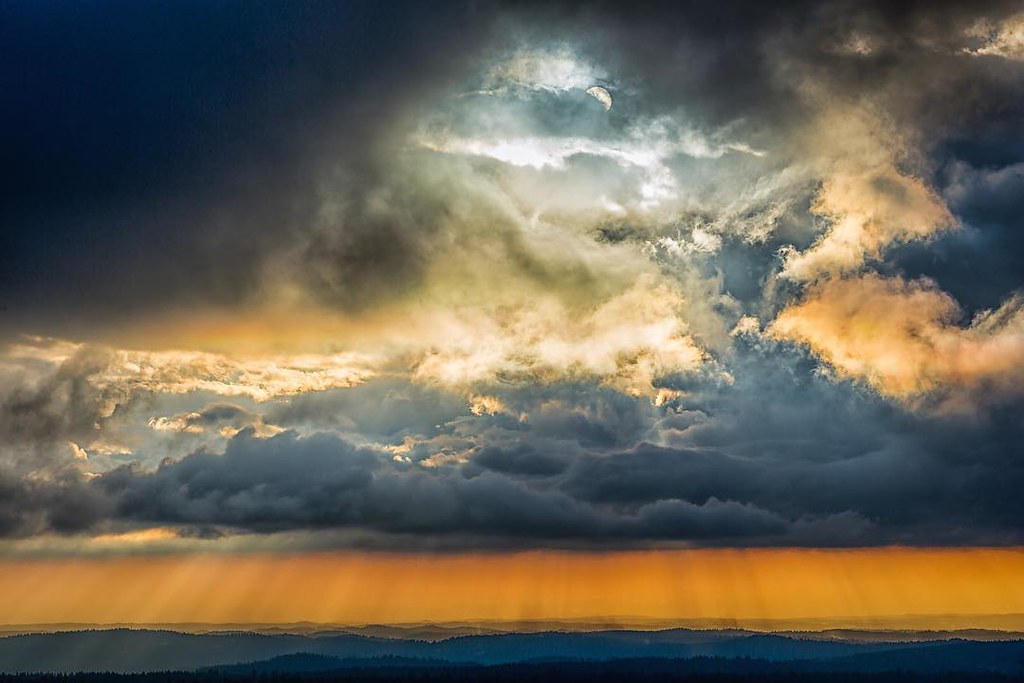
#thunderousapplause #crepsucularrays #sierranevada #visitcalifornia #lookout #sacramento #eldoradocounty #gregmitchellphotography #tactilephoto
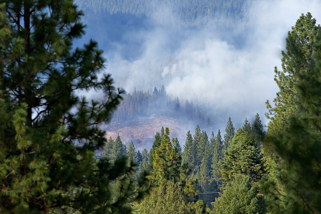
King Fire Western Edge 0423

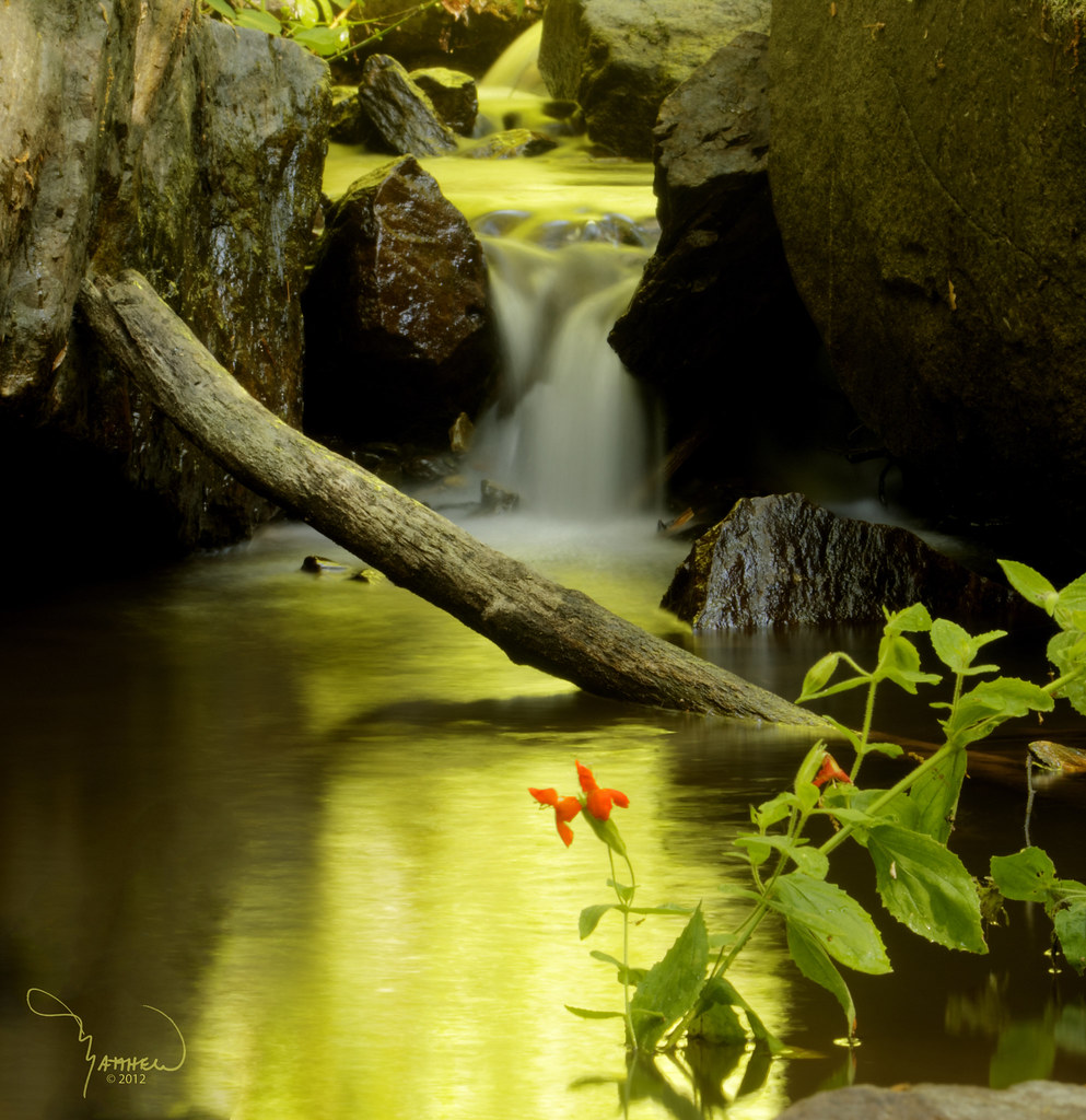
Sly Park Waterfalls
American River
00810_n_9abc9npyz0626 - Version 2
Musgo.
Audubon Hills Camino CA.

Bridals Falls
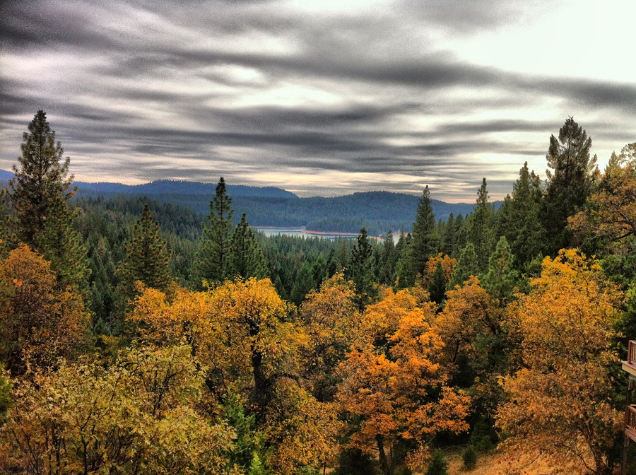
Union Valley from the lookout
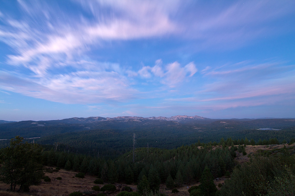
Desolation Wilderness after sunset
2008 - September
DSC_4253.JPG
Topographic Map of US-50, Pollock Pines, CA, USA
Find elevation by address:

Places near US-50, Pollock Pines, CA, USA:
Eldorado National Forest
Spring Valley Rd, Pollock Pines, CA, USA
7104 Stacy Ln
Pacific House
6881 Frontier Rd
4010 Jade Ct
Jade Court
3891 Garnet Rd
6793 Onyx Trail
3925 Garnet Rd
Spring Valley Road
3401 Gold Ridge Trail
3825 Garnet Rd
Garnet Road
6815 Diamond Dr
6738 Onyx Trail
Diamond Drive
4023 Garnet Rd
Gold Ridge Trail, Pollock Pines, CA, USA
2071 Bourbon St
Recent Searches:
- Elevation of Lampiasi St, Sarasota, FL, USA
- Elevation of Elwyn Dr, Roanoke Rapids, NC, USA
- Elevation of Congressional Dr, Stevensville, MD, USA
- Elevation of Bellview Rd, McLean, VA, USA
- Elevation of Stage Island Rd, Chatham, MA, USA
- Elevation of Shibuya Scramble Crossing, 21 Udagawacho, Shibuya City, Tokyo -, Japan
- Elevation of Jadagoniai, Kaunas District Municipality, Lithuania
- Elevation of Pagonija rock, Kranto 7-oji g. 8"N, Kaunas, Lithuania
- Elevation of Co Rd 87, Jamestown, CO, USA
- Elevation of Tenjo, Cundinamarca, Colombia