Elevation of Onyx Trail, Pollock Pines, CA, USA
Location: United States > California > Placer County > Pollock Pines >
Longitude: -120.56489
Latitude: 38.7532363
Elevation: 1251m / 4104feet
Barometric Pressure: 87KPa
Elevation Map:
Satellite Map:
Related Photos:

Sunset Vineyard

Trail of Stars

Apple Hill in the Rear View Mirror

Jenkinson Lake at blue hour

Oct-11-Apple Hill-4ps

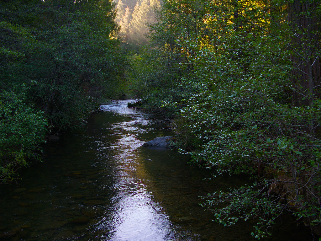
River View

Jenkinson Lake at sunset

Jenkinson Lake before sunset
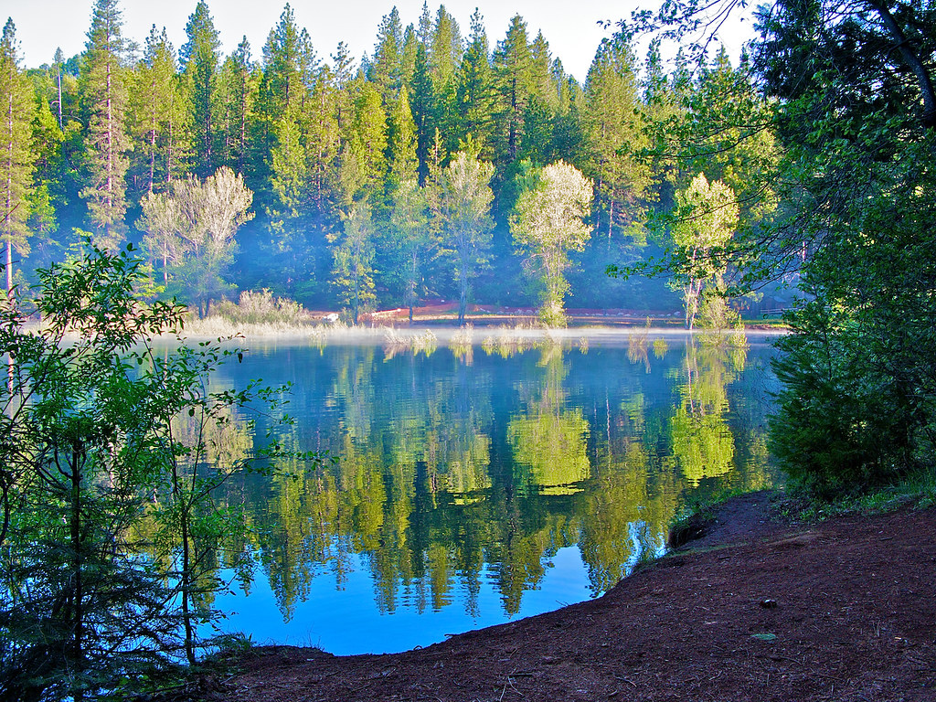
Jenkinson Lake - Pollock Pines
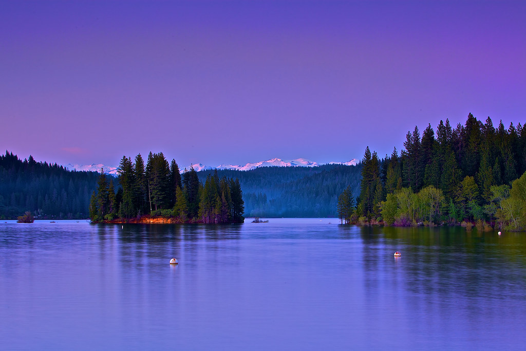
Jenkinson Lake at blue hour

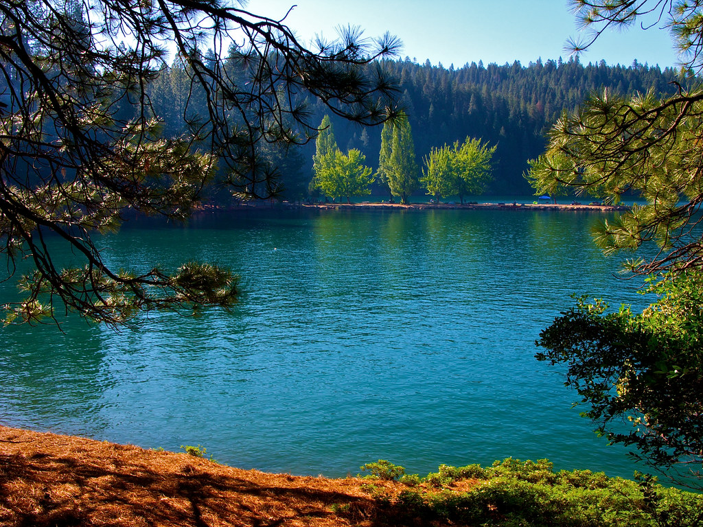
Jenkinson Lake at daytime

#HappyHolidays #HappyThanksGiving

Jenkinson Lake Hiking Trail - 1

Jenkinson Lake - 20090523 - 1
Jenkinson Lake - 20090523 - 2

Jenkinson Lake - 20090523 - 3

Jenkinson Lake at night
Jenkinson Lake - 20090523 - 4
Jenkinson Lake - 20090523 - 5
Sly Park Creek - Pollock Pines _1
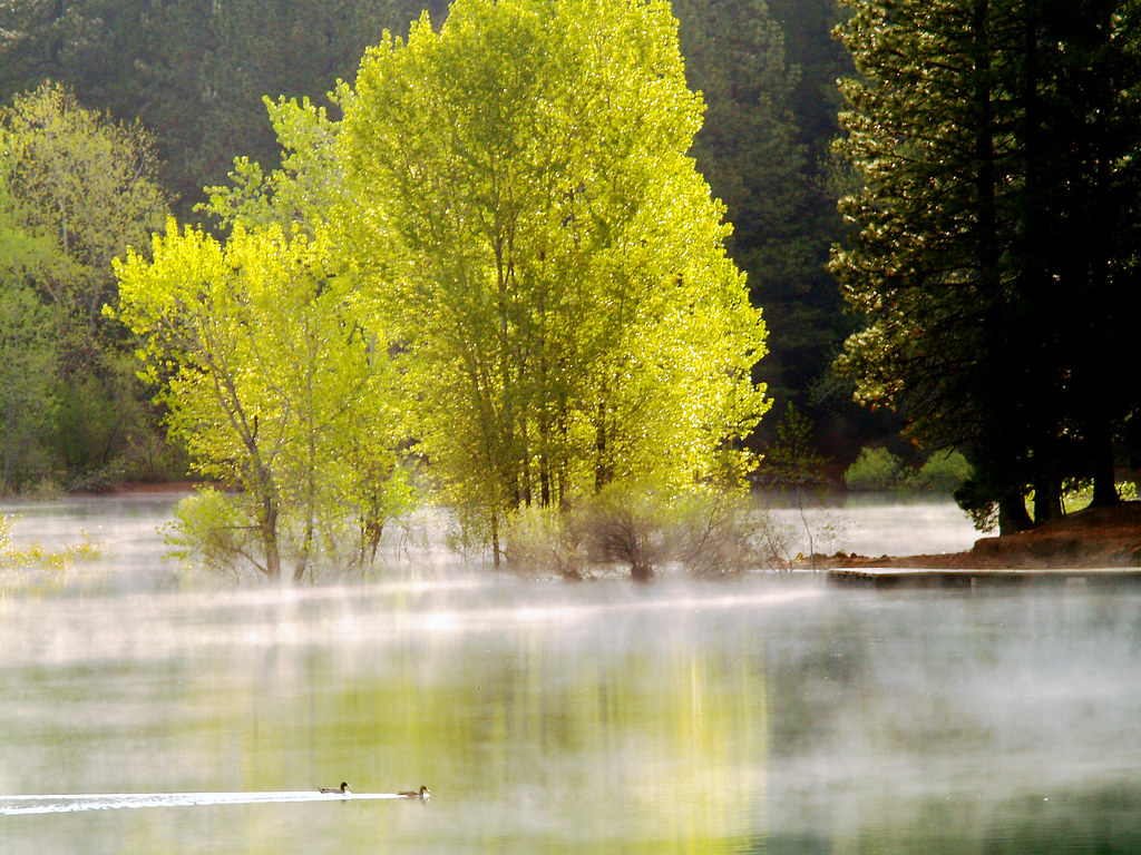
Morning Mist

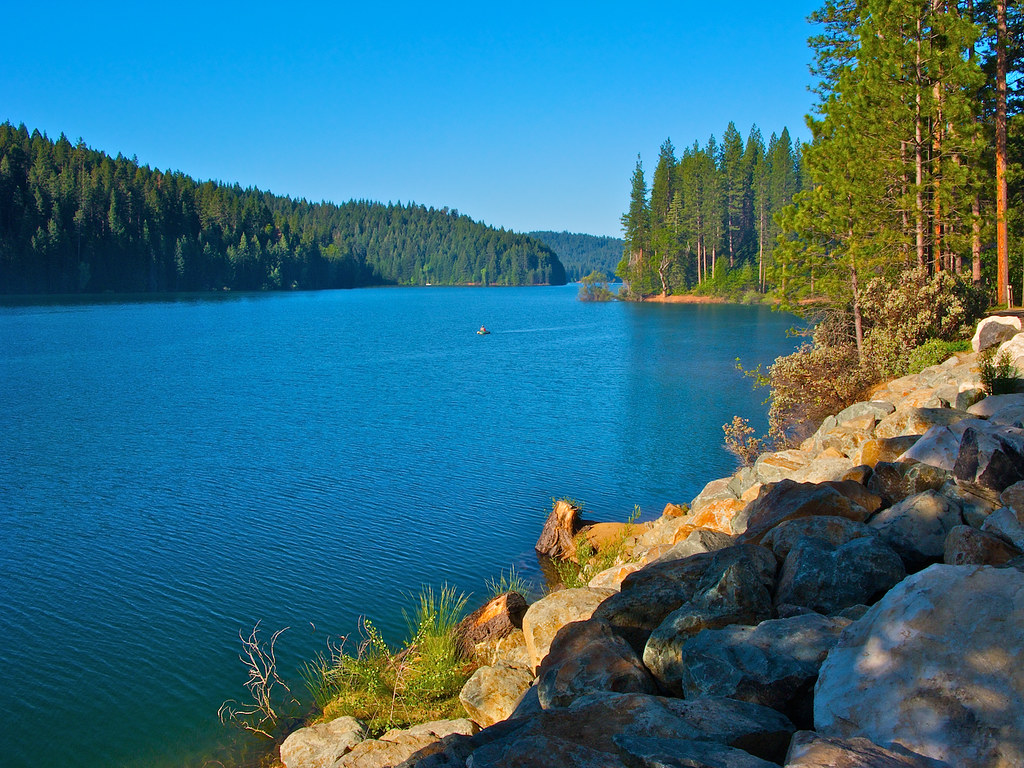
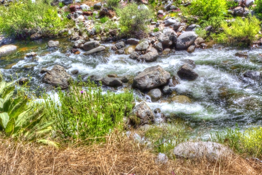
The American River South Fork

Cross Section of the American River

The American River
Narrow Section of the American River

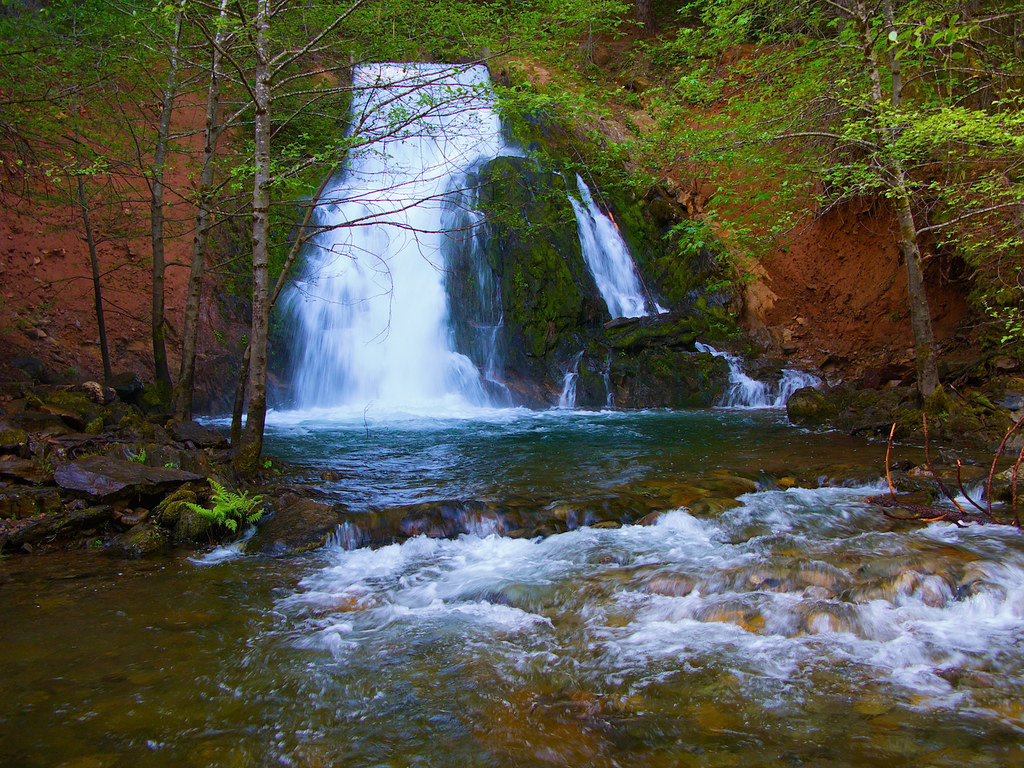
Bridal Veil Falls in Green

Apple Hill

American River

The American River. (Explore July 24, 2018 #49 )

Stormy Sunset in Pleasant Valley

Busby's Barn

North Fork Flow

U.S. Route 50 California Mtns

King Fire Western Edge 0423

Camp Creek Bridge

These trees survived the season
Sly Park creek

Bridals Falls

Iowa Creek
Topographic Map of Onyx Trail, Pollock Pines, CA, USA
Find elevation by address:

Places near Onyx Trail, Pollock Pines, CA, USA:
Gold Ridge Trail, Pollock Pines, CA, USA
6793 Onyx Trail
3401 Gold Ridge Trail
Jade Court
2071 Bourbon St
4010 Jade Ct
6420 Topaz Dr
3925 Garnet Rd
6434 Topaz Dr
6815 Diamond Dr
4023 Garnet Rd
3891 Garnet Rd
3181 Amber Trail
Diamond Drive
3148 Amber Trail
3825 Garnet Rd
3151 Amber Trail
Garnet Road
4136 Sugar Pine Dr
Pine Cone Dr, Pollock Pines, CA, USA
Recent Searches:
- Elevation of Elwyn Dr, Roanoke Rapids, NC, USA
- Elevation of Congressional Dr, Stevensville, MD, USA
- Elevation of Bellview Rd, McLean, VA, USA
- Elevation of Stage Island Rd, Chatham, MA, USA
- Elevation of Shibuya Scramble Crossing, 21 Udagawacho, Shibuya City, Tokyo -, Japan
- Elevation of Jadagoniai, Kaunas District Municipality, Lithuania
- Elevation of Pagonija rock, Kranto 7-oji g. 8"N, Kaunas, Lithuania
- Elevation of Co Rd 87, Jamestown, CO, USA
- Elevation of Tenjo, Cundinamarca, Colombia
- Elevation of Côte-des-Neiges, Montreal, QC H4A 3J6, Canada