Elevation of US-41, Ashburn, GA, USA
Location: United States > Georgia > Turner County > Ashburn >
Longitude: -83.693451
Latitude: 31.7756
Elevation: 126m / 413feet
Barometric Pressure: 100KPa
Elevation Map:
Satellite Map:
Related Photos:

A child's #view! Oh my my too #funny!
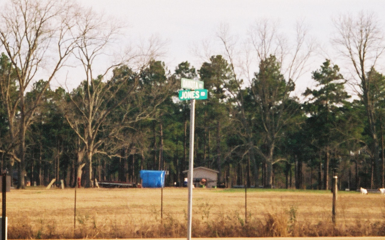
Dakota View
thurs 4/17/2008- Chicken Delight
On the road

Love the countryside

#dog found a #bone #shadows

Looking up from my ditch

After the #rain
#brooksvilleraid
Checking out the place

Baby Eastern Garter Snake (close-up)
Topographic Map of US-41, Ashburn, GA, USA
Find elevation by address:

Places near US-41, Ashburn, GA, USA:
US-41, Ashburn, GA, USA
91 Rose Cir, Ashburn, GA, USA
Ashburn
Turner County
Sycamore
Hobby School Rd, Ashburn, GA, USA
Arabi Warwick Rd, Arabi, GA, USA
GA-, Ashburn, GA, USA
Crisp County
Terrell Rd, Ashburn, GA, USA
1744 Ga-90
US-41, Sycamore, GA, USA
1408 Ogburn Rd
1408 Ogburn Rd
1408 Ogburn Rd
3061 Ga-112
547 Medders Rd
Cordele
Rebecca
1518 Shingler Little River Rd
Recent Searches:
- Elevation of Elwyn Dr, Roanoke Rapids, NC, USA
- Elevation of Congressional Dr, Stevensville, MD, USA
- Elevation of Bellview Rd, McLean, VA, USA
- Elevation of Stage Island Rd, Chatham, MA, USA
- Elevation of Shibuya Scramble Crossing, 21 Udagawacho, Shibuya City, Tokyo -, Japan
- Elevation of Jadagoniai, Kaunas District Municipality, Lithuania
- Elevation of Pagonija rock, Kranto 7-oji g. 8"N, Kaunas, Lithuania
- Elevation of Co Rd 87, Jamestown, CO, USA
- Elevation of Tenjo, Cundinamarca, Colombia
- Elevation of Côte-des-Neiges, Montreal, QC H4A 3J6, Canada