Elevation of Hobby School Rd, Ashburn, GA, USA
Location: United States > Georgia > Turner County > Ashburn >
Longitude: -83.735602
Latitude: 31.663192
Elevation: 117m / 384feet
Barometric Pressure: 100KPa
Elevation Map:
Satellite Map:
Related Photos:

A child's #view! Oh my my too #funny!
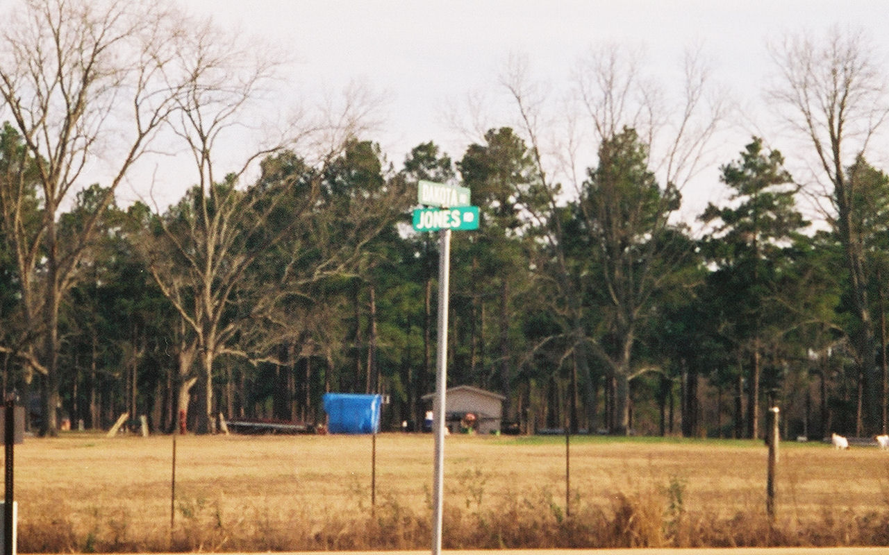
Dakota View

thurs 4/17/2008- Chicken Delight

Wedding Day

Love the countryside

On the road

#dog found a #bone #shadows

After the #rain
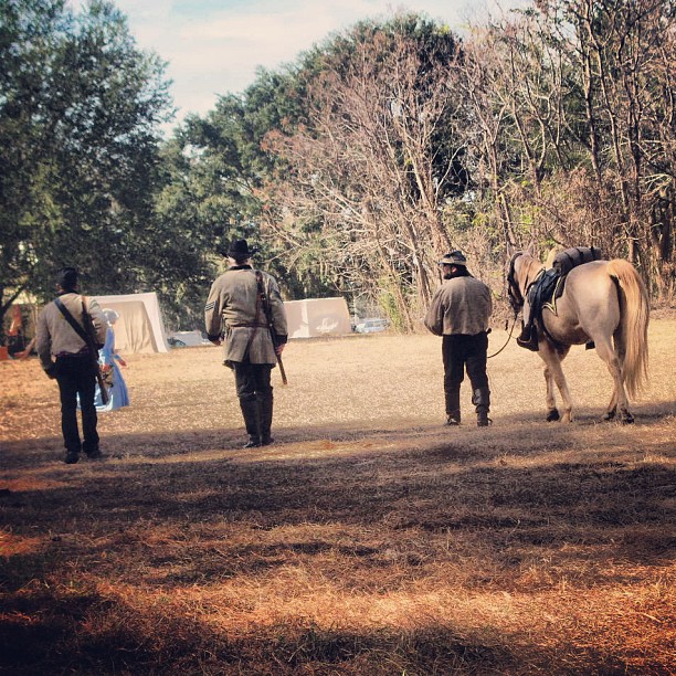
#brooksvilleraid
Checking out the place

Baby Eastern Garter Snake (close-up)
Topographic Map of Hobby School Rd, Ashburn, GA, USA
Find elevation by address:

Places near Hobby School Rd, Ashburn, GA, USA:
GA-, Ashburn, GA, USA
Terrell Rd, Ashburn, GA, USA
3061 Ga-112
547 Medders Rd
Ashburn
Sycamore
91 Rose Cir, Ashburn, GA, USA
Turner County
2951 Ga-33
1518 Shingler Little River Rd
US-41, Ashburn, GA, USA
US-41, Ashburn, GA, USA
US-41, Sycamore, GA, USA
GA-, Sylvester, GA, USA
Sumner
104 Holly St
Poulan
Sylvester
E Franklin St, Sylvester, GA, USA
US Hwy 41, Tifton, GA, USA
Recent Searches:
- Elevation of Vista Blvd, Sparks, NV, USA
- Elevation of 15th Ave SE, St. Petersburg, FL, USA
- Elevation of Beall Road, Beall Rd, Florida, USA
- Elevation of Leguwa, Nepal
- Elevation of County Rd, Enterprise, AL, USA
- Elevation of Kolchuginsky District, Vladimir Oblast, Russia
- Elevation of Shustino, Vladimir Oblast, Russia
- Elevation of Lampiasi St, Sarasota, FL, USA
- Elevation of Elwyn Dr, Roanoke Rapids, NC, USA
- Elevation of Congressional Dr, Stevensville, MD, USA