Elevation of Upper Black Canyon Campground, Silver City, NM, United States
Location: United States > New Mexico > Silver City >
Longitude: -108.03309
Latitude: 33.1853489
Elevation: 2079m / 6821feet
Barometric Pressure: 79KPa
Elevation Map:
Satellite Map:
Related Photos:
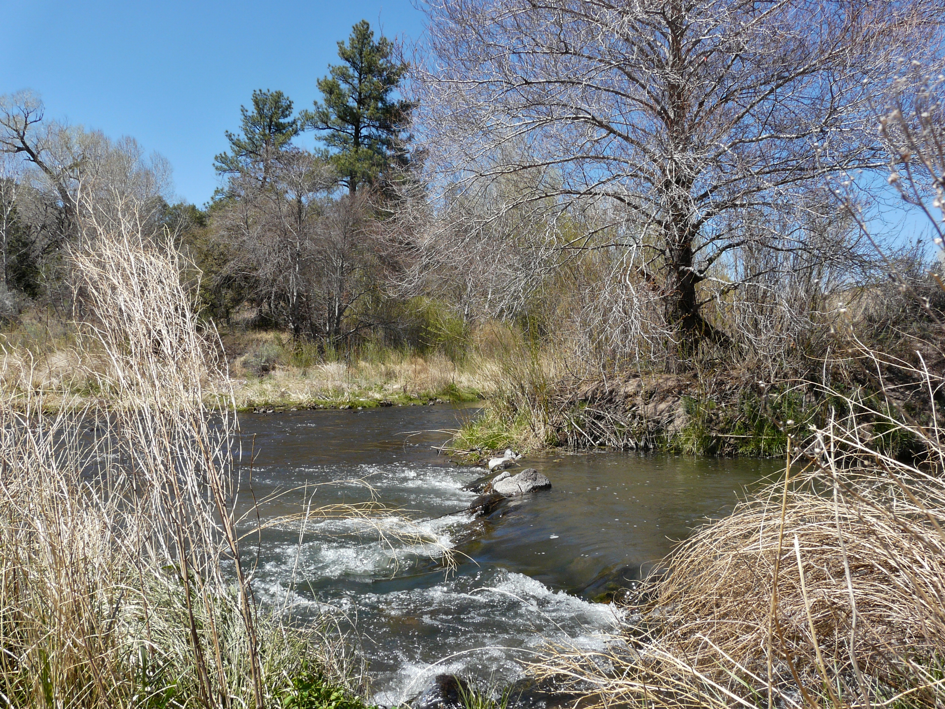
West Fork of the Gila
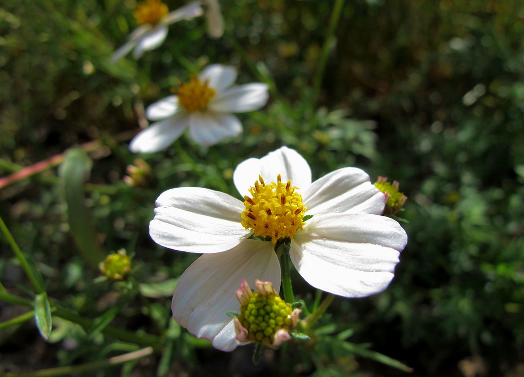
Zinnia acerosa
Gila River #2

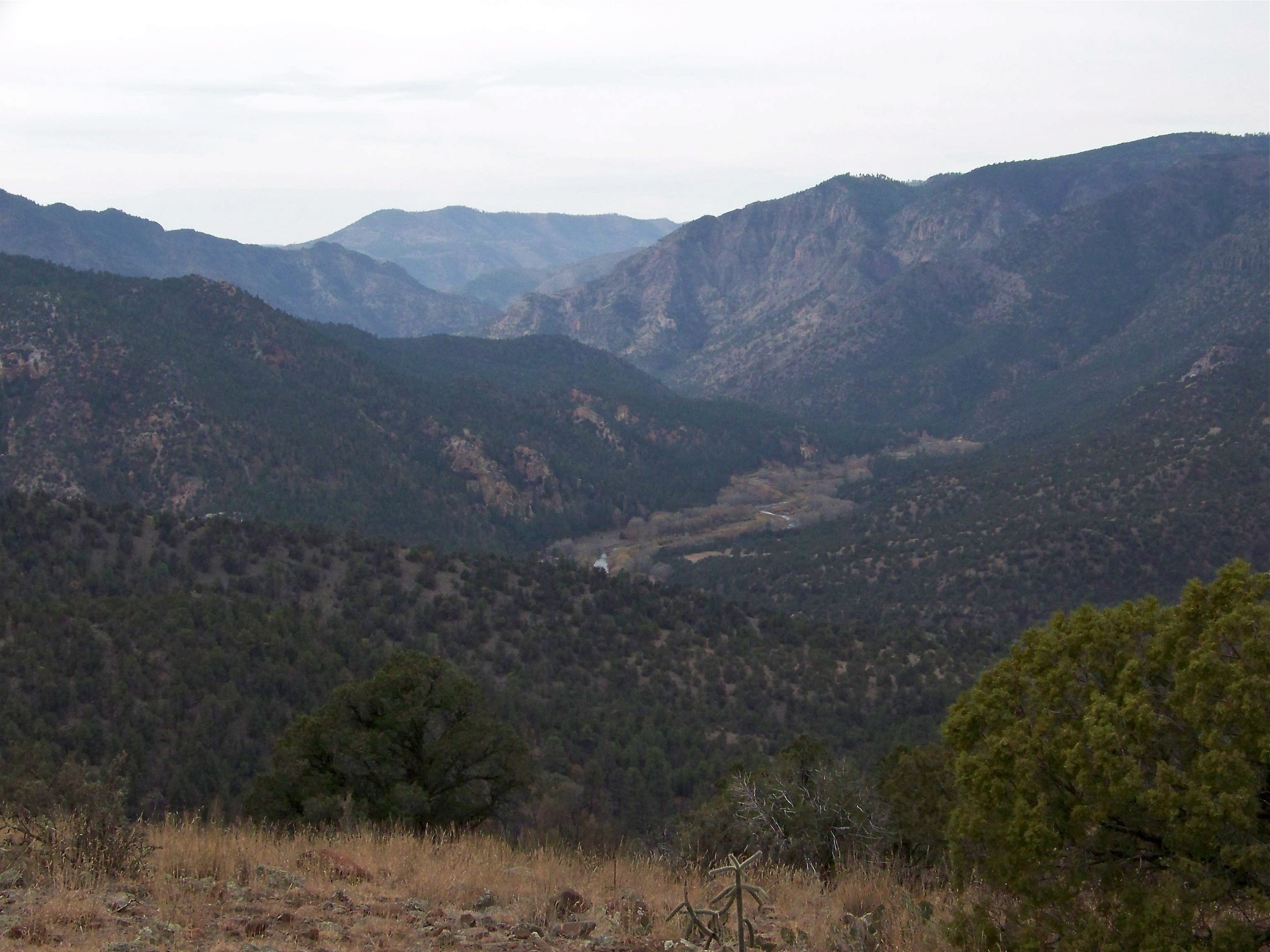
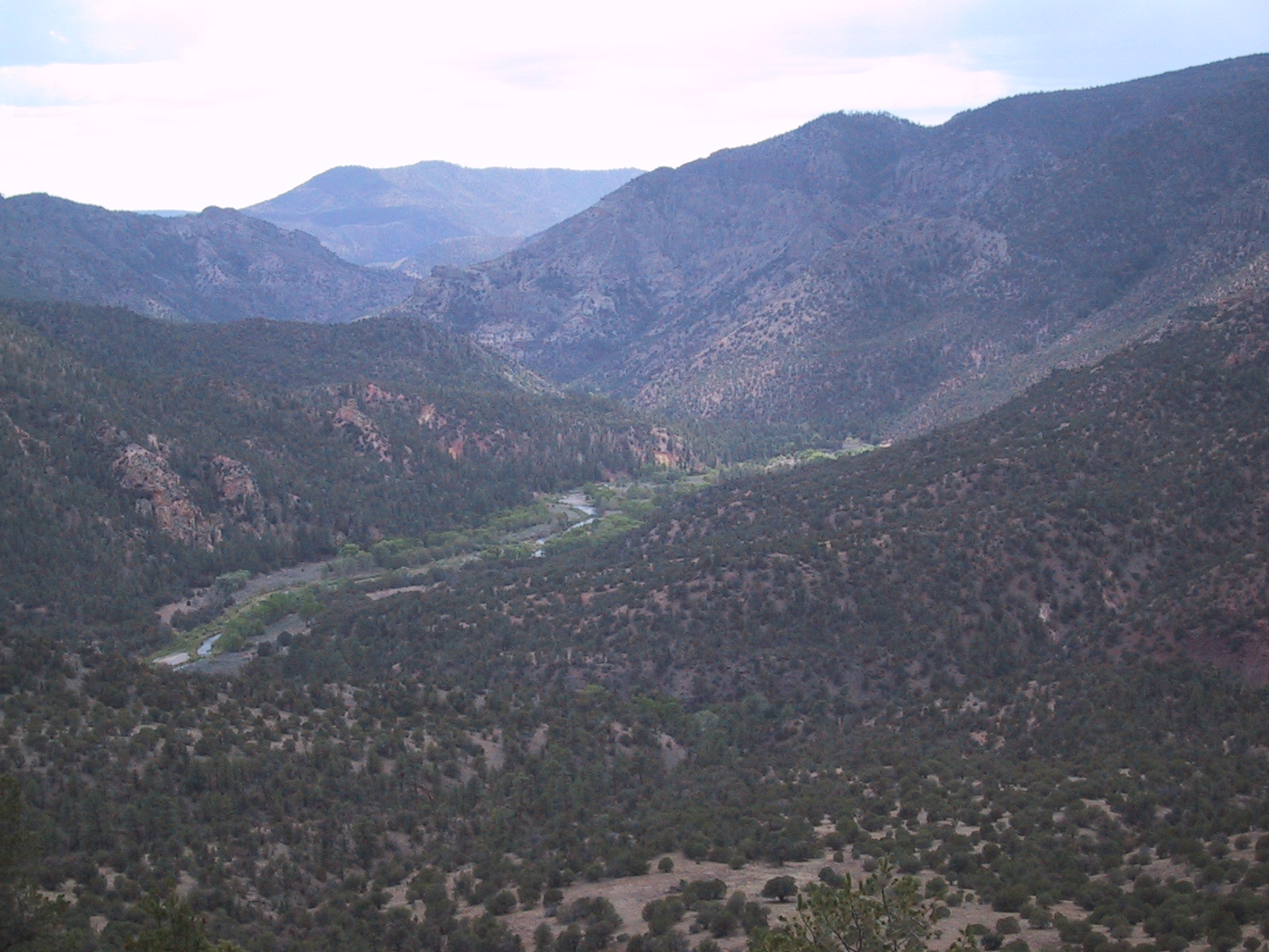
Gila River Valley #2

Gila River Valley
Steady hands

Gila Hot Springs Valley
SGila Hot Springs
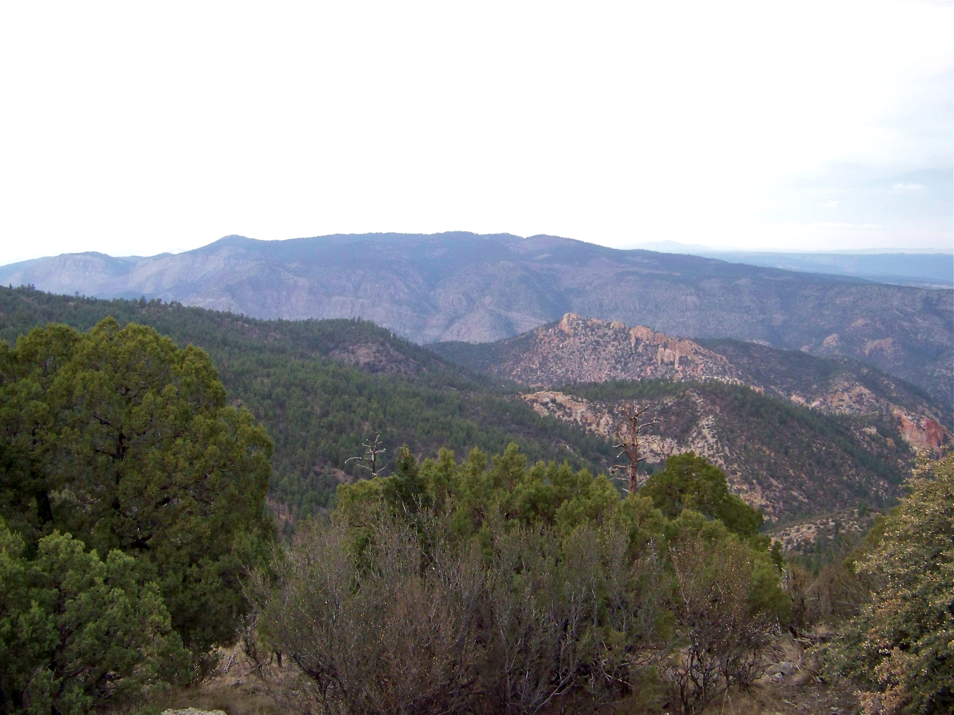
Gila National Forest
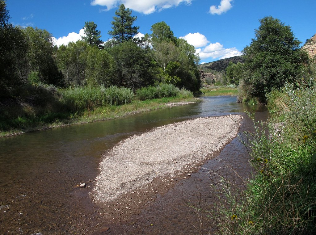
Gila River
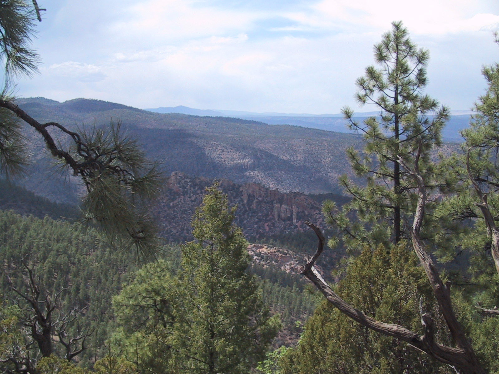
Gila Wilderness
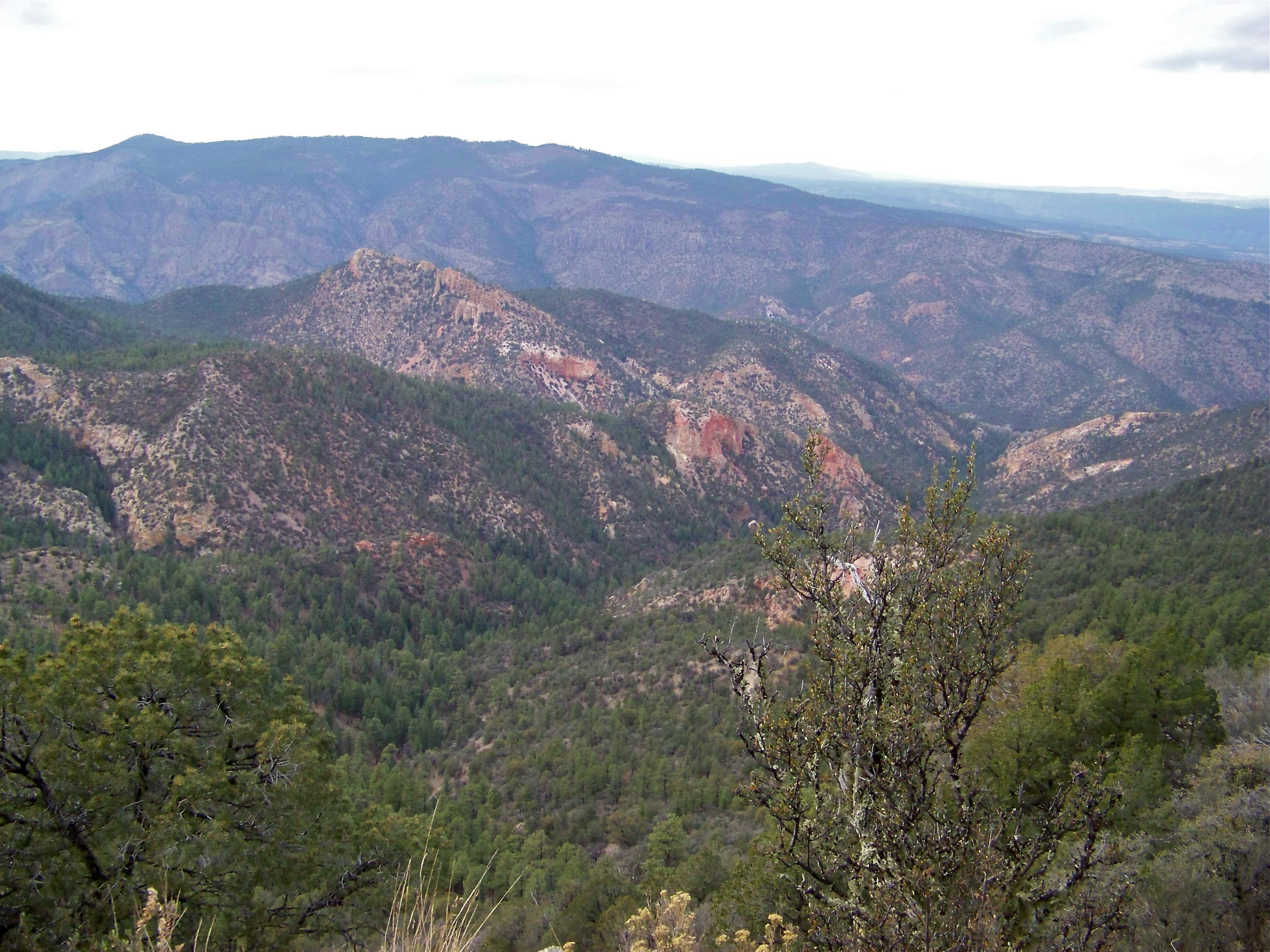
Wild Country
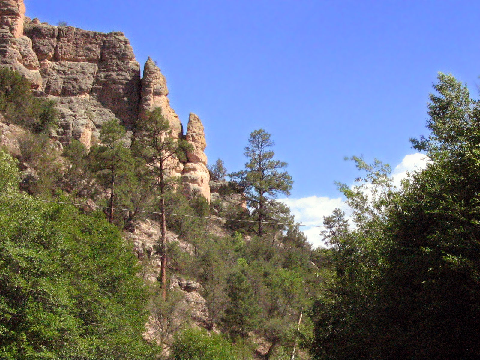
Chimney Rocks
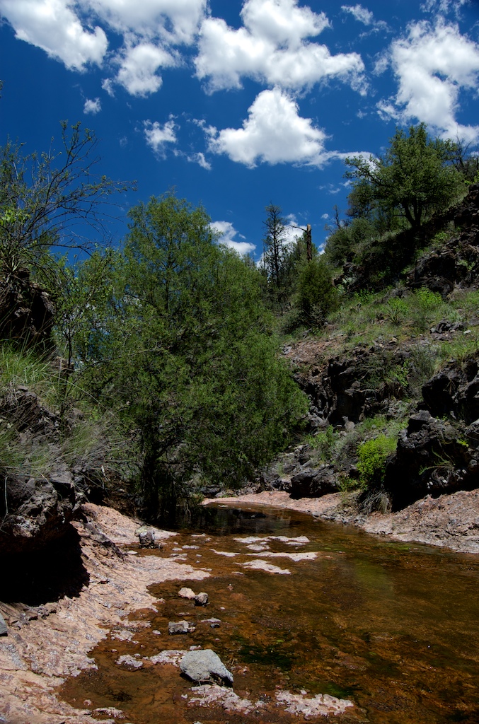
Water, earth, and sky
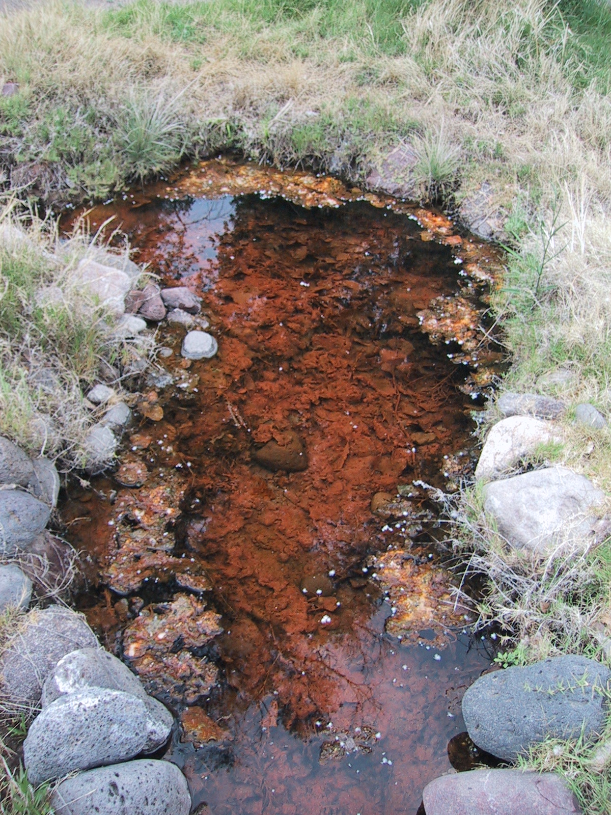
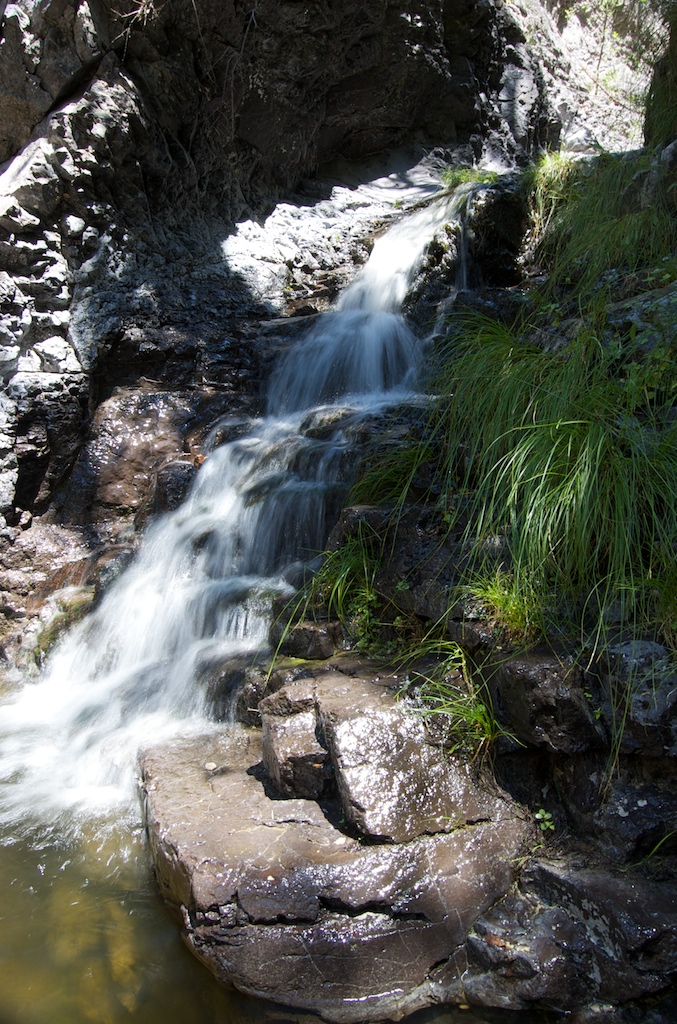
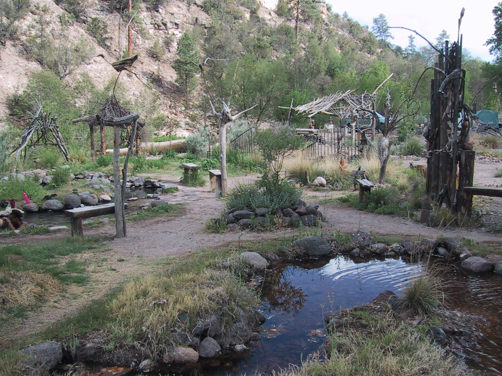
Gila Hot Springs
Gila River
Topographic Map of Upper Black Canyon Campground, Silver City, NM, United States
Find elevation by address:

Places near Upper Black Canyon Campground, Silver City, NM, United States:
Rocky Point
W Fork Rd, Mimbres, NM, USA
Forks Campground
Gila Hot Springs Ranch
558 Nm-35
Diamond Peak
Sapillo Campground
Mesa Campground
Lake Roberts
13 Mulberry Dr
Gila Visitor Center
Grey Feathers Lodge & Restaurant
Cherry Mountain
Gila Cliff Dwellings National Monument
West Beaver Point
Mud Spring Mountain
Moccasin John Mountain
Lake Mountain
Sugarloaf Peak
Silver City, NM, USA
Recent Searches:
- Elevation of Corso Fratelli Cairoli, 35, Macerata MC, Italy
- Elevation of Tallevast Rd, Sarasota, FL, USA
- Elevation of 4th St E, Sonoma, CA, USA
- Elevation of Black Hollow Rd, Pennsdale, PA, USA
- Elevation of Oakland Ave, Williamsport, PA, USA
- Elevation of Pedrógão Grande, Portugal
- Elevation of Klee Dr, Martinsburg, WV, USA
- Elevation of Via Roma, Pieranica CR, Italy
- Elevation of Tavkvetili Mountain, Georgia
- Elevation of Hartfords Bluff Cir, Mt Pleasant, SC, USA