Elevation of Cherry Mountain, New Mexico, USA
Location: United States > New Mexico > Winston >
Longitude: -107.7955918
Latitude: 33.157849
Elevation: 2412m / 7913feet
Barometric Pressure: 0KPa
Related Photos:
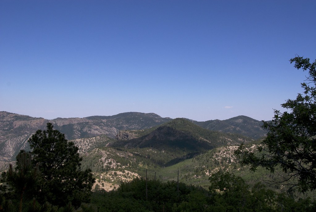
Mountains and Cloud Shadows

Take Time to Celebrate, And Rest

Aldo Leopold Wilderness, Southeast
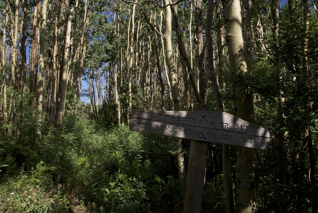
Junction: Pretty Canyon | McKnight
Topographic Map of Cherry Mountain, New Mexico, USA
Find elevation by address:

Places near Cherry Mountain, New Mexico, USA:
Mud Spring Mountain
Lake Mountain
Moccasin John Mountain
Sugarloaf Peak
Diamond Peak
Flagpole Mountain
Apache Peak
Granite Peak
Hagins Peak
Rocky Point
Milkhouse Mesa
Cross O Peak
Hillsboro Peak
Chloride
Cross-o Mountain
Twin Peaks North
Upper Black Canyon Campground
Winston
Cross Mountain
Kingston
Recent Searches:
- Elevation map of Greenland, Greenland
- Elevation of Sullivan Hill, New York, New York, 10002, USA
- Elevation of Morehead Road, Withrow Downs, Charlotte, Mecklenburg County, North Carolina, 28262, USA
- Elevation of 2800, Morehead Road, Withrow Downs, Charlotte, Mecklenburg County, North Carolina, 28262, USA
- Elevation of Yangbi Yi Autonomous County, Yunnan, China
- Elevation of Pingpo, Yangbi Yi Autonomous County, Yunnan, China
- Elevation of Mount Malong, Pingpo, Yangbi Yi Autonomous County, Yunnan, China
- Elevation map of Yongping County, Yunnan, China
- Elevation of North 8th Street, Palatka, Putnam County, Florida, 32177, USA
- Elevation of 107, Big Apple Road, East Palatka, Putnam County, Florida, 32131, USA
- Elevation of Jiezi, Chongzhou City, Sichuan, China
- Elevation of Chongzhou City, Sichuan, China
- Elevation of Huaiyuan, Chongzhou City, Sichuan, China
- Elevation of Qingxia, Chengdu, Sichuan, China
- Elevation of Corso Fratelli Cairoli, 35, Macerata MC, Italy
- Elevation of Tallevast Rd, Sarasota, FL, USA
- Elevation of 4th St E, Sonoma, CA, USA
- Elevation of Black Hollow Rd, Pennsdale, PA, USA
- Elevation of Oakland Ave, Williamsport, PA, USA
- Elevation of Pedrógão Grande, Portugal