Elevation of Unnamed Road, New Mexico, USA
Location: United States > New Mexico > Sierra County >
Longitude: -106.61281
Latitude: 33.4749823
Elevation: 1452m / 4764feet
Barometric Pressure: 85KPa
Elevation Map:
Satellite Map:
Related Photos:
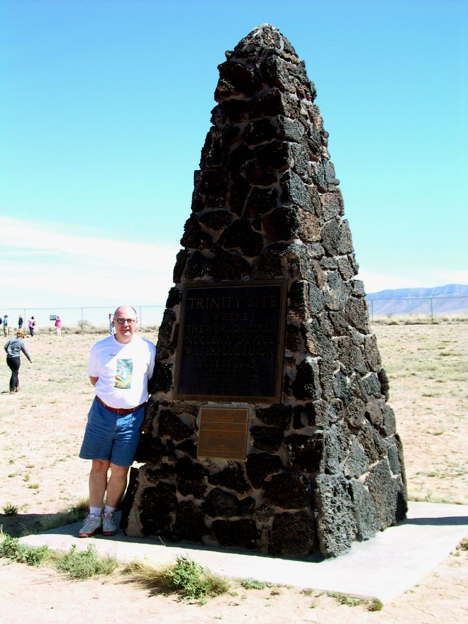
Durward at Trinity

stuck out here someplace among the collapsing stars

trinity test site

The Trinity Monument

Durward pooping trinity

Durward holding the Trinity monument

Durward and the Trinity monument
Topographic Map of Unnamed Road, New Mexico, USA
Find elevation by address:

Places near Unnamed Road, New Mexico, USA:
Fairview Mountain
Mockingbird Mountains Hp
Silver Top Mountain
Ladybug Peak
Middle Peak
Salinas Peak
Capitol Peak
Sheep Mountain West
Sheep Mountain East
Little Burro Mountains Hp
Mount Baldy
Mcdonald Ranch House
Trinity Site
Skillet Knob
Big Gyp Mountain
Granddaddy Peak
Oscura Peak
Hardscrabble Mountains Hp
Loma Vista
Black Top Mountain
Recent Searches:
- Elevation of Tenjo, Cundinamarca, Colombia
- Elevation of Côte-des-Neiges, Montreal, QC H4A 3J6, Canada
- Elevation of Bobcat Dr, Helena, MT, USA
- Elevation of Zu den Ihlowbergen, Althüttendorf, Germany
- Elevation of Badaber, Peshawar, Khyber Pakhtunkhwa, Pakistan
- Elevation of SE Heron Loop, Lincoln City, OR, USA
- Elevation of Slanický ostrov, 01 Námestovo, Slovakia
- Elevation of Spaceport America, Co Rd A, Truth or Consequences, NM, USA
- Elevation of Warwick, RI, USA
- Elevation of Fern Rd, Whitmore, CA, USA