Elevation of Unnamed Road, Gordon, TX, USA
Location: United States > Texas > Gordon >
Longitude: -98.396113
Latitude: 32.5795395
Elevation: 281m / 922feet
Barometric Pressure: 98KPa
Elevation Map:
Satellite Map:
Related Photos:
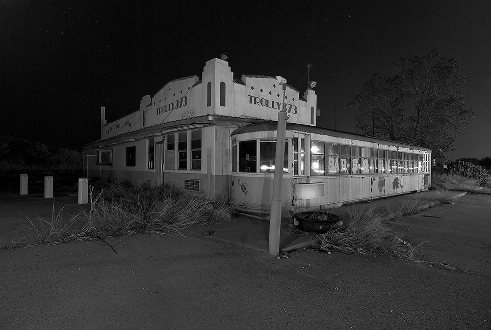
Trolley 373
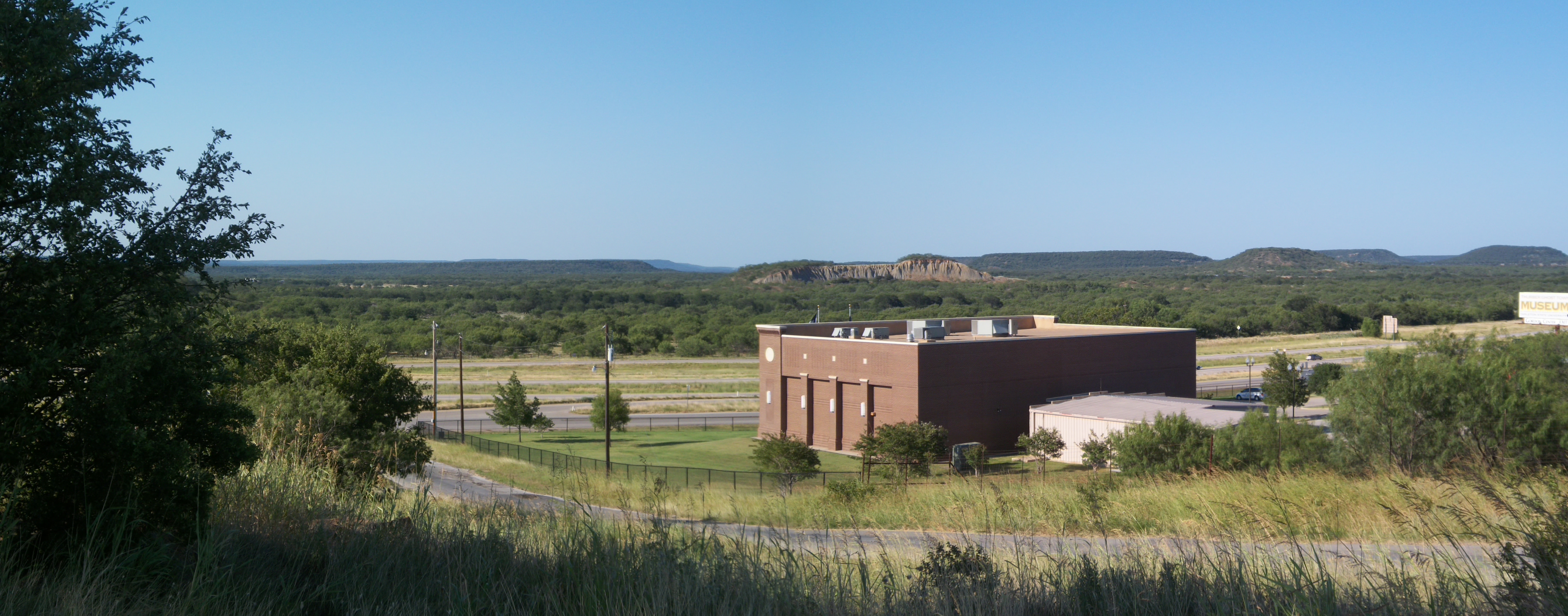
Palo Pinto Mountains Panoramic, Thurber, Texas

Silky Road

Lake Palo Pinto Spillway

Shallow Pointe - Punto Llano
dsc_0153.jpg
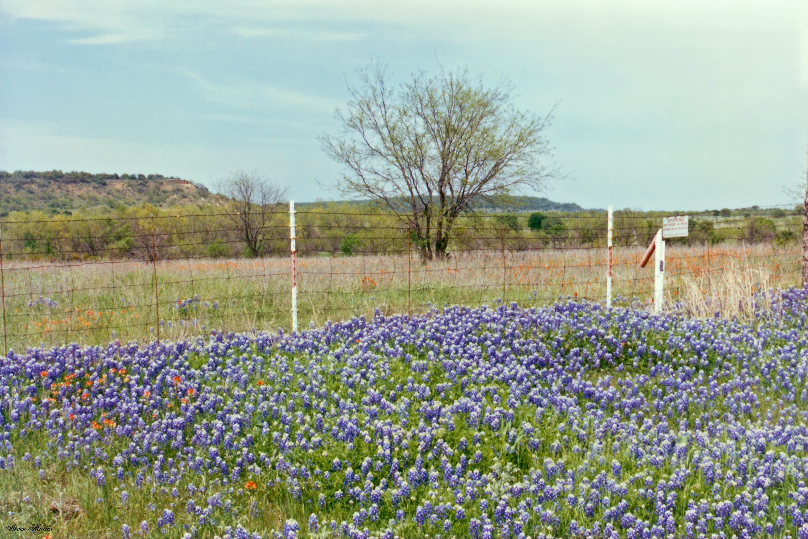
Bluebonnets near Gordon, Texas
Bluebonnets along I-20 near Gordon, Texas
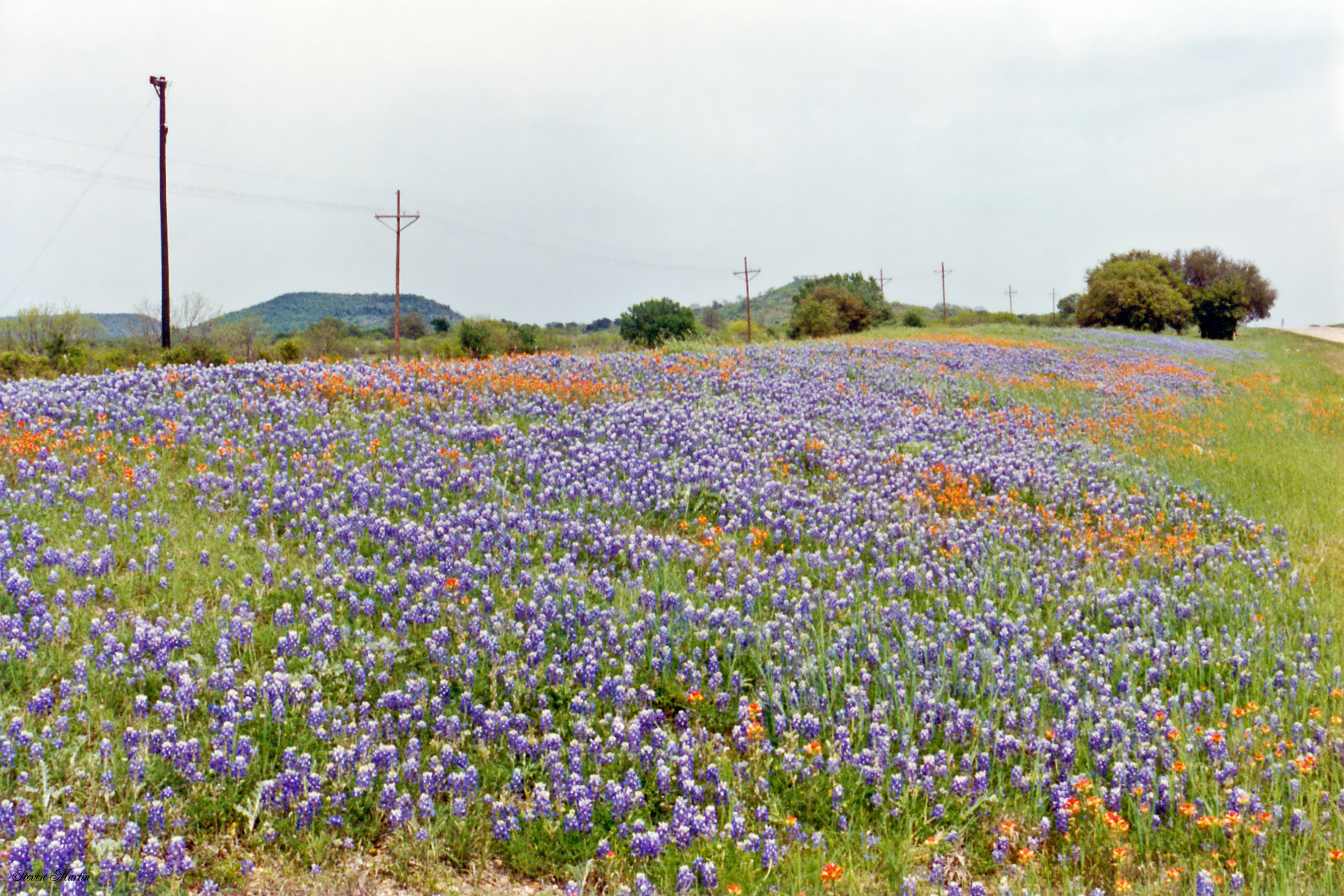
Bluebonnets and Indian Paintbrush along I-20 near Gordon
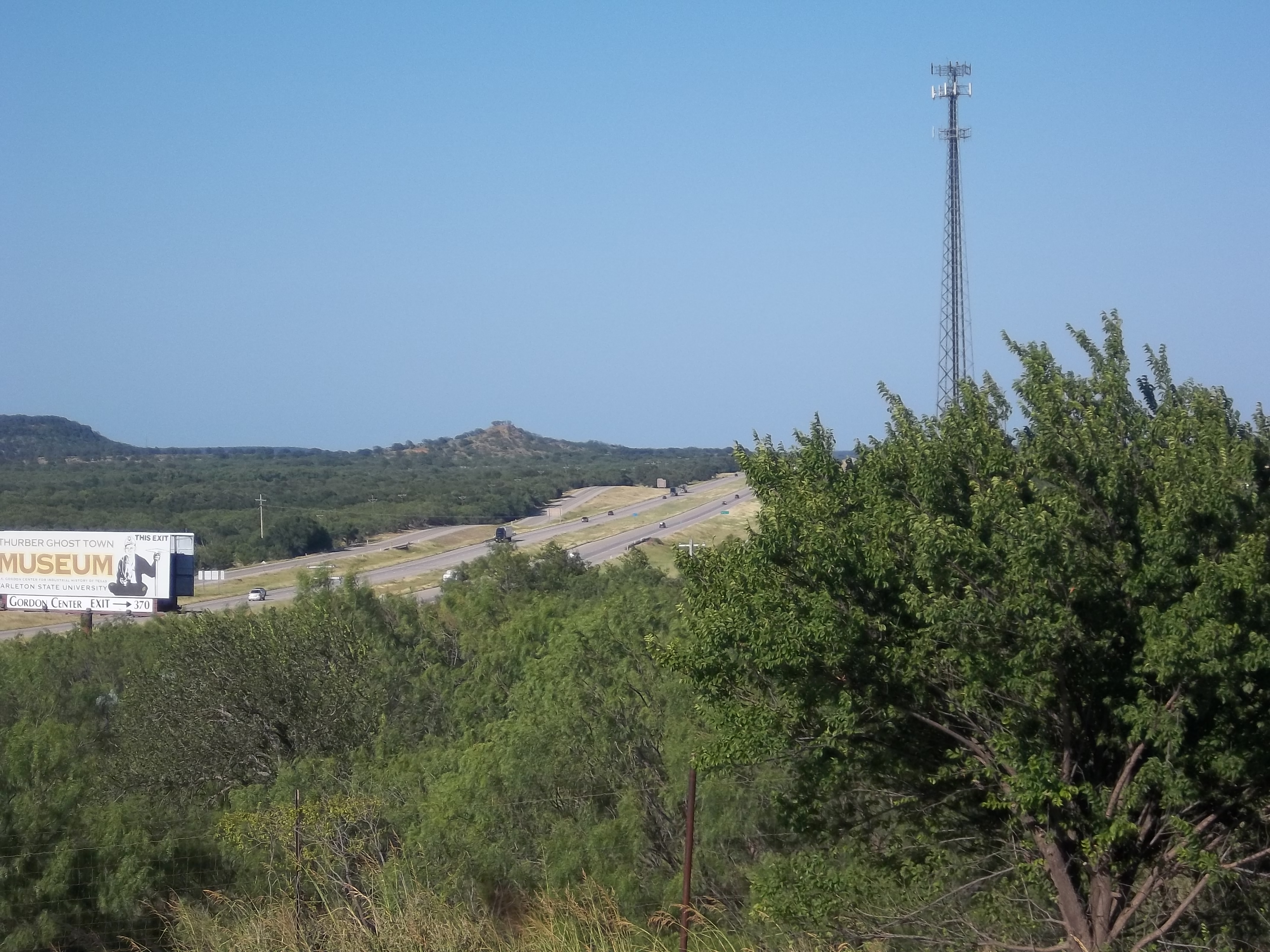
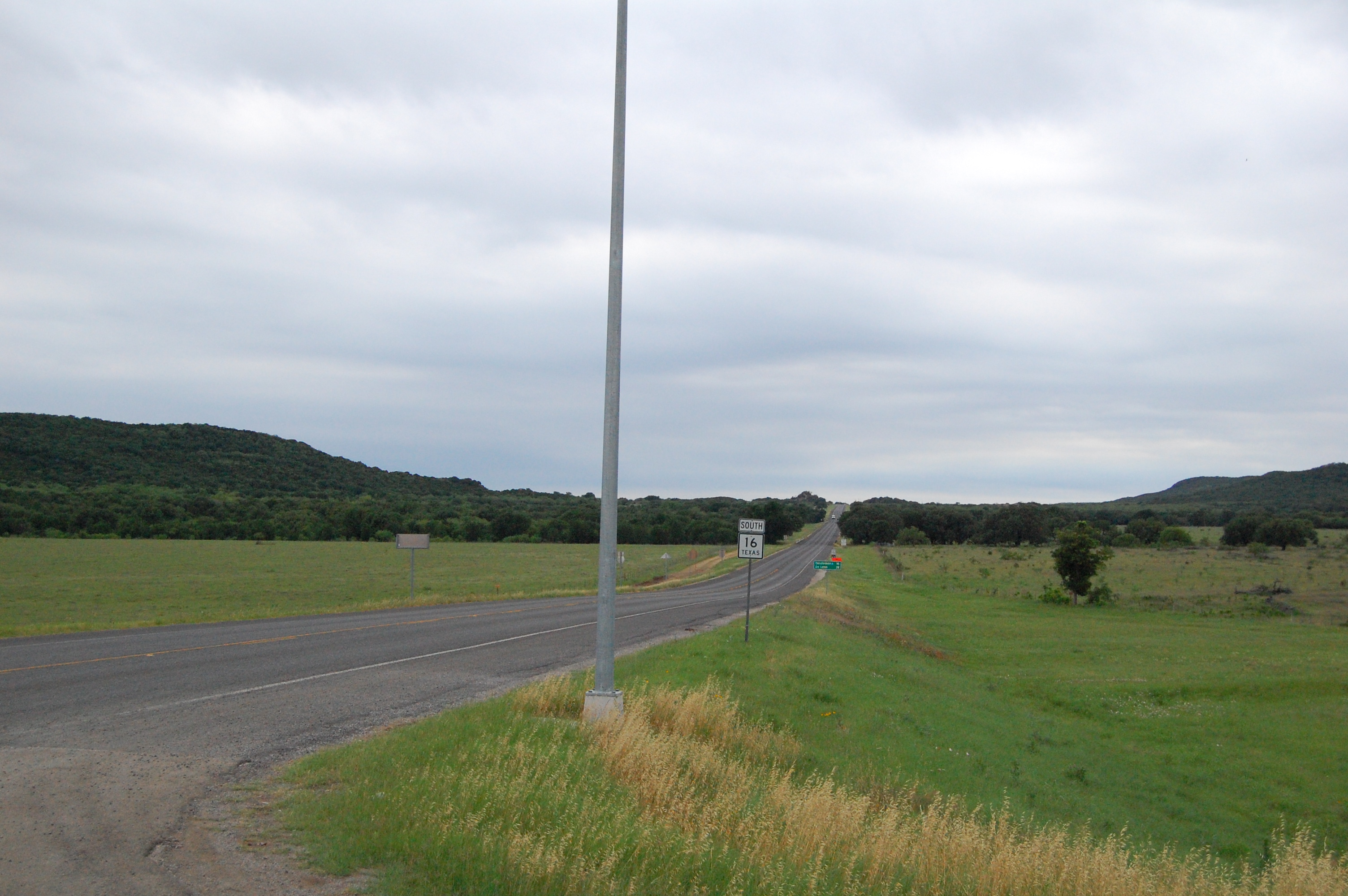
I-20 Through the Hills, Thurber, Texas
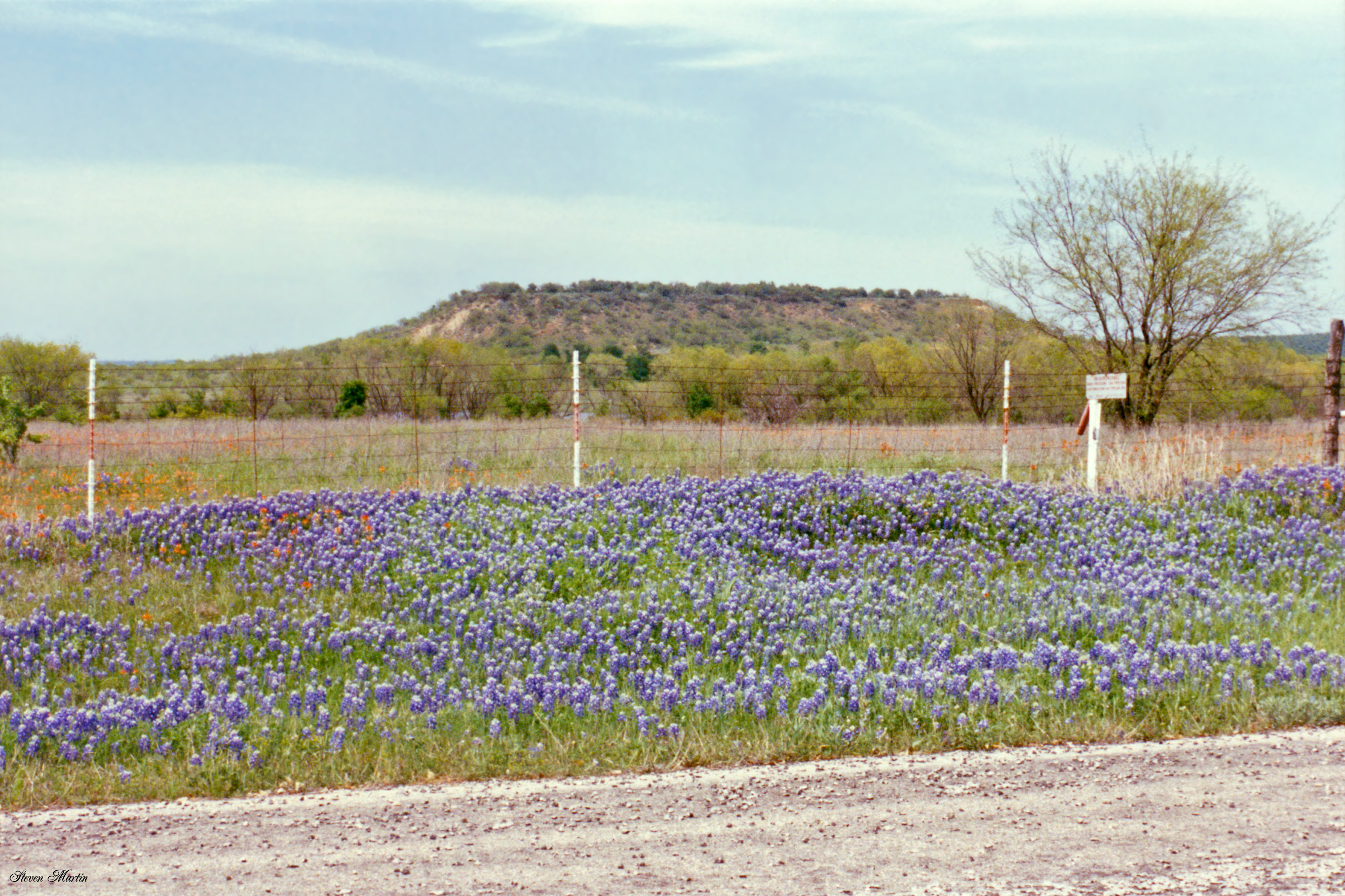
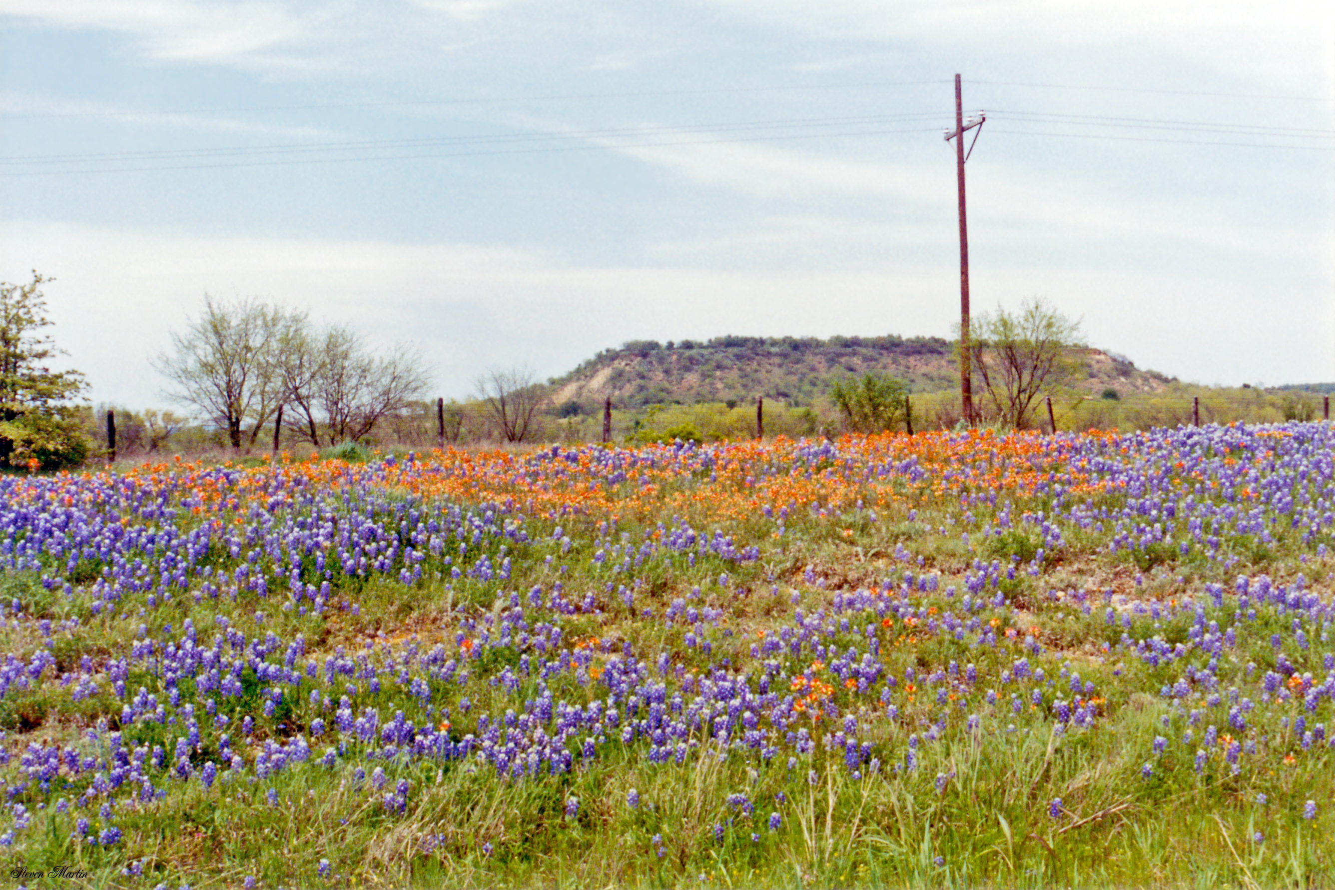
Bluebonnets Alongside Pasture, near Gordon
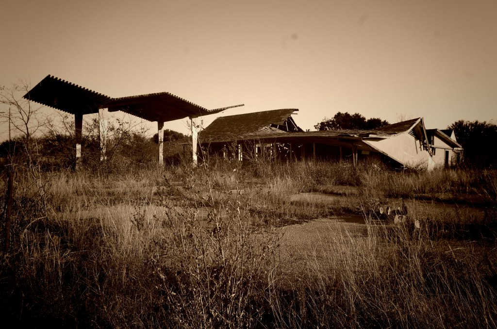
Abandoned Stuckey's
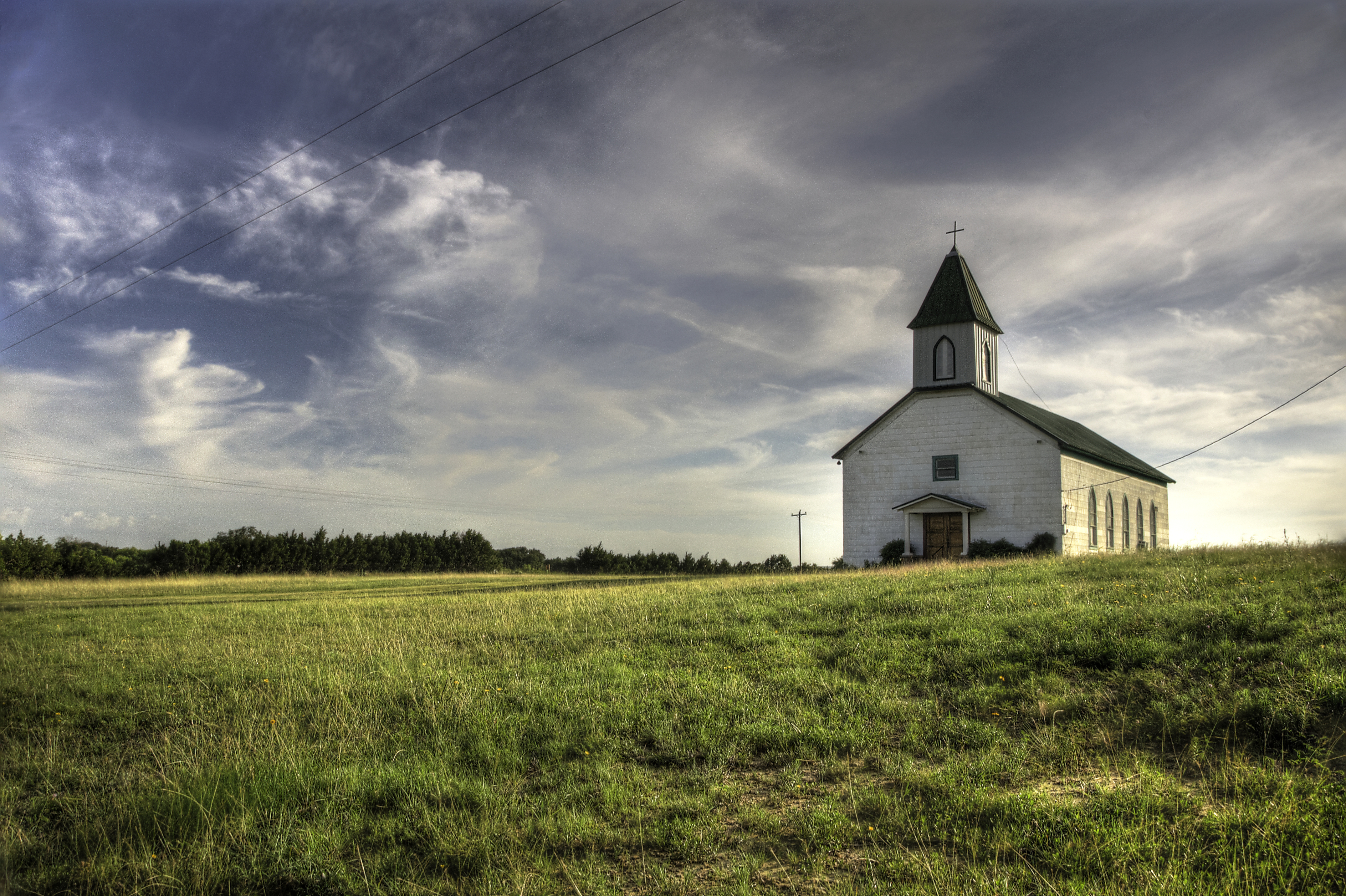
Lil Church on the Prairie
Topographic Map of Unnamed Road, Gordon, TX, USA
Find elevation by address:

Places near Unnamed Road, Gordon, TX, USA:
Gordon
512 E Cedar St
Mingus
TX-, Gordon, TX, USA
County Road 120
Lakeside Drive
FM 4, Santo, TX, USA
FM 4, Santo, TX, USA
Santo
County Road 109
Palo Pinto County
1775 Sunset Mountain Rd
1775 Sunset Mountain Rd
Palo Pinto
206 Blackjack St
TX-, Stephenville, TX, USA
Farm To Market Road 3208
TX-, Stephenville, TX, USA
Pleasant Valley Road
Pr 719
Recent Searches:
- Elevation of Lampiasi St, Sarasota, FL, USA
- Elevation of Elwyn Dr, Roanoke Rapids, NC, USA
- Elevation of Congressional Dr, Stevensville, MD, USA
- Elevation of Bellview Rd, McLean, VA, USA
- Elevation of Stage Island Rd, Chatham, MA, USA
- Elevation of Shibuya Scramble Crossing, 21 Udagawacho, Shibuya City, Tokyo -, Japan
- Elevation of Jadagoniai, Kaunas District Municipality, Lithuania
- Elevation of Pagonija rock, Kranto 7-oji g. 8"N, Kaunas, Lithuania
- Elevation of Co Rd 87, Jamestown, CO, USA
- Elevation of Tenjo, Cundinamarca, Colombia