Elevation of County Road, County Rd, Mingus, TX, USA
Location: United States > Texas > Erath County > Mingus >
Longitude: -98.408459
Latitude: 32.3895226
Elevation: 395m / 1296feet
Barometric Pressure: 97KPa
Elevation Map:
Satellite Map:
Related Photos:
Stuckey's
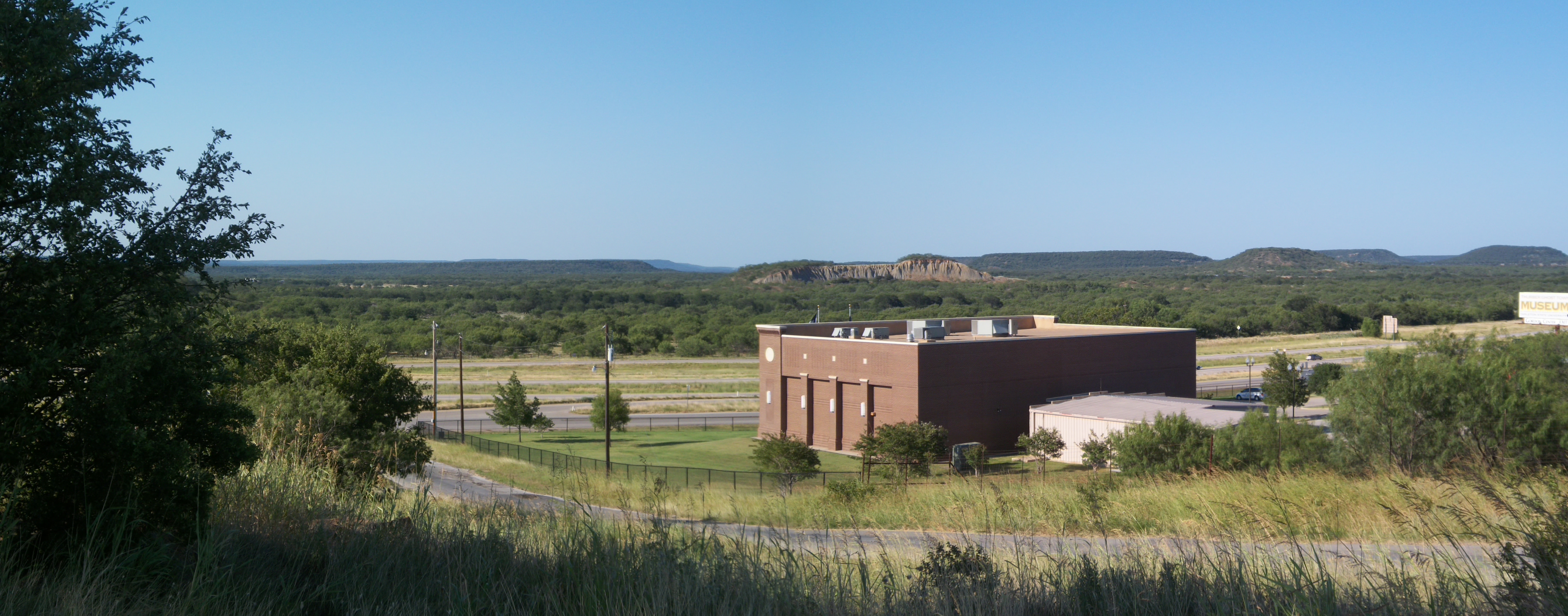
Palo Pinto Mountains Panoramic, Thurber, Texas
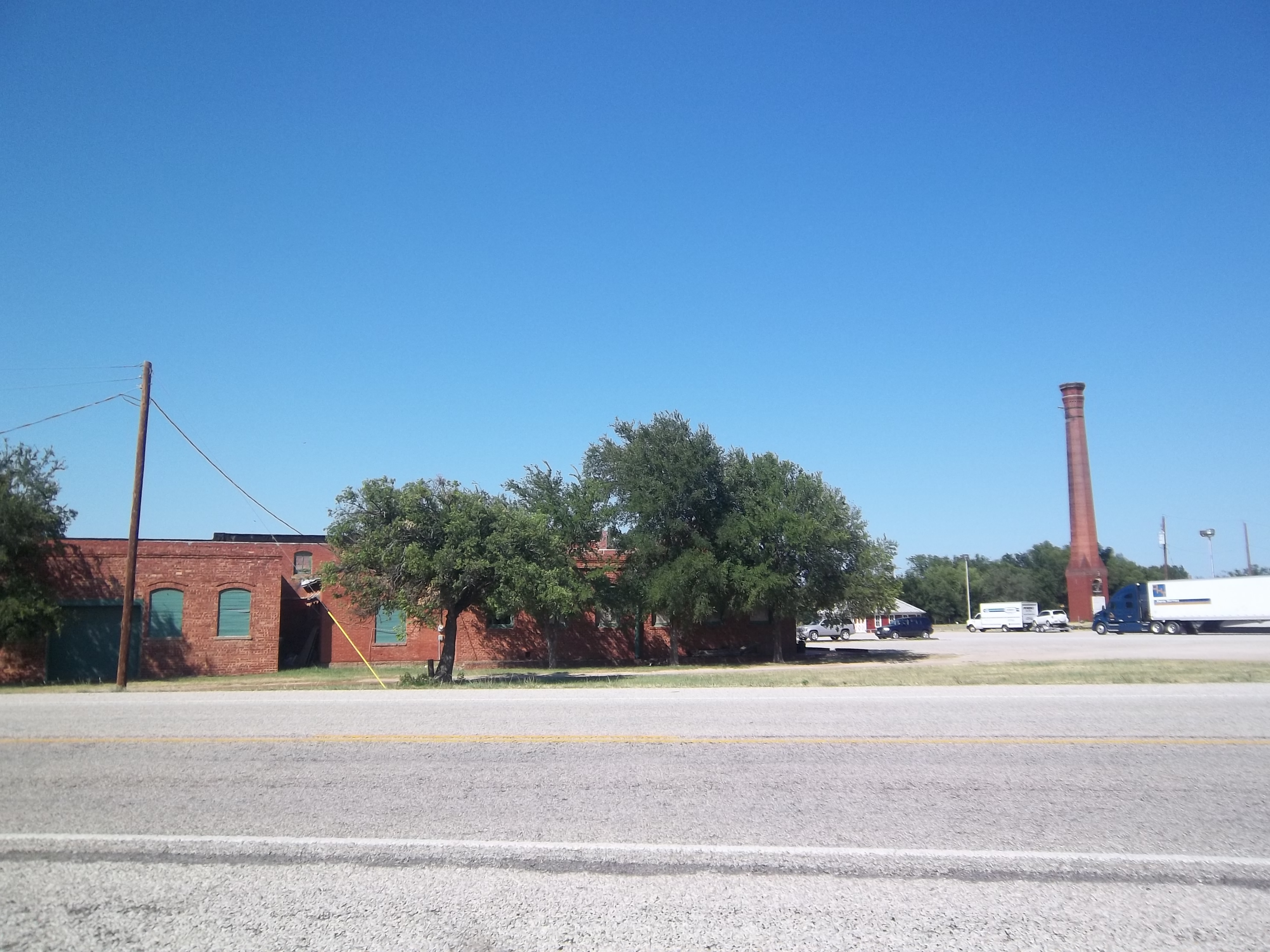
Thurber, Texas
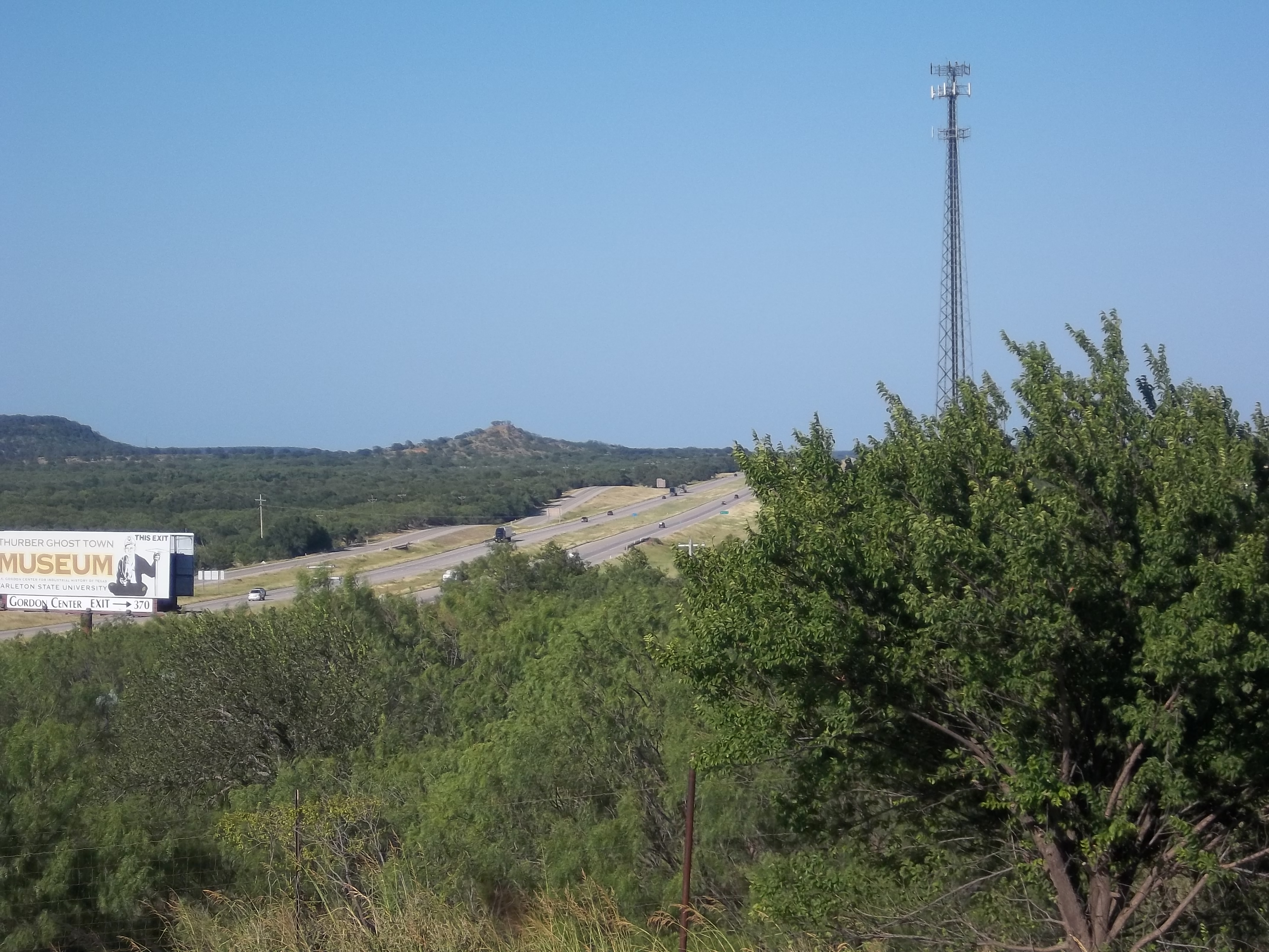
I-20 Through the Hills, Thurber, Texas
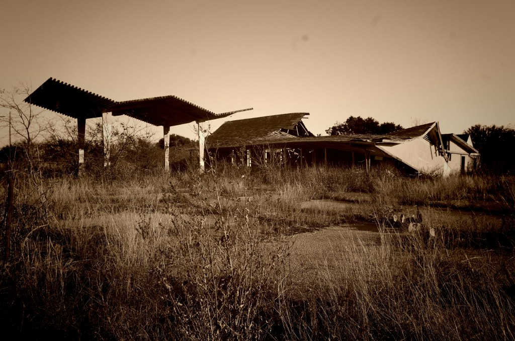
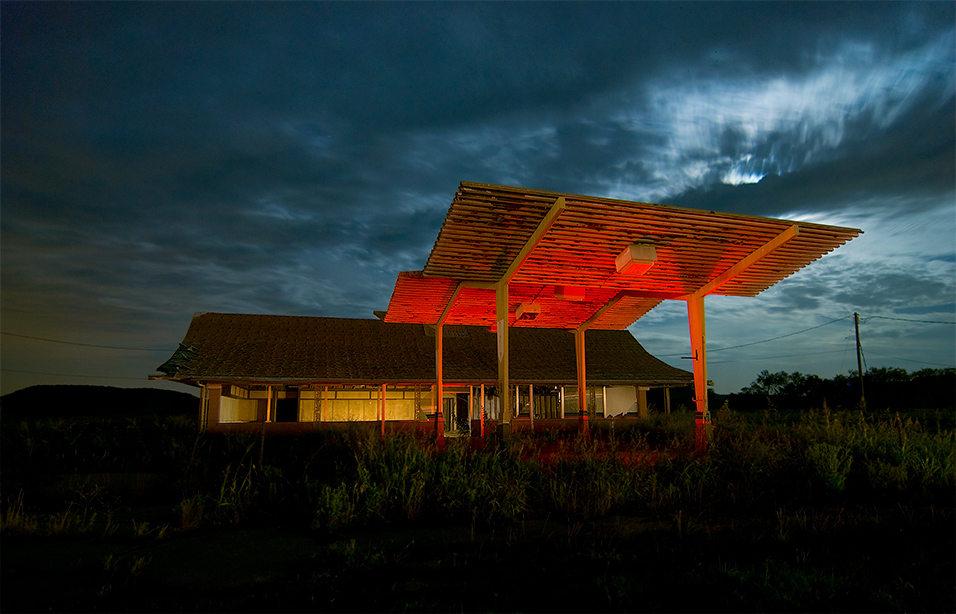
Abandoned Stuckey's
dsc_0153.jpg

Had to stop and snap this Texas sunrise this morning.
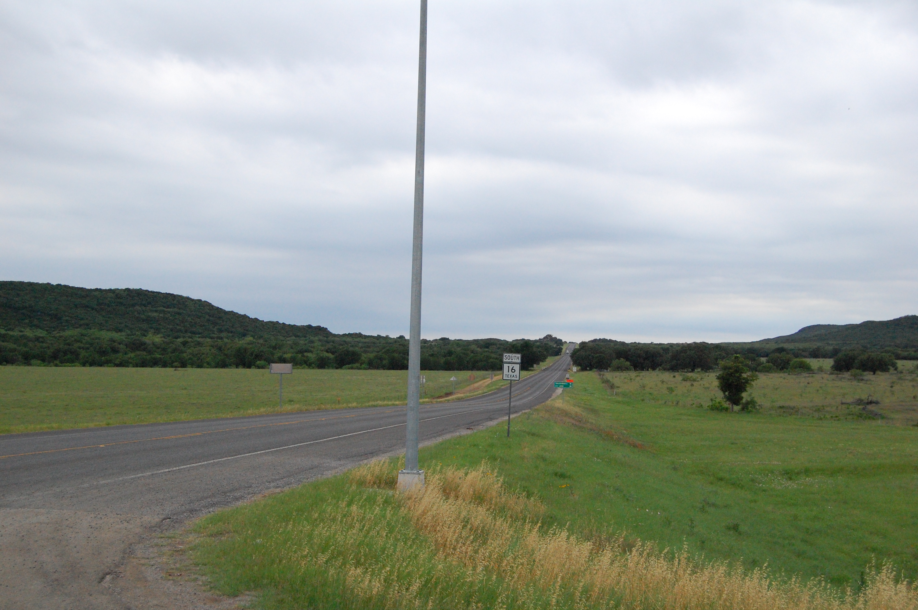
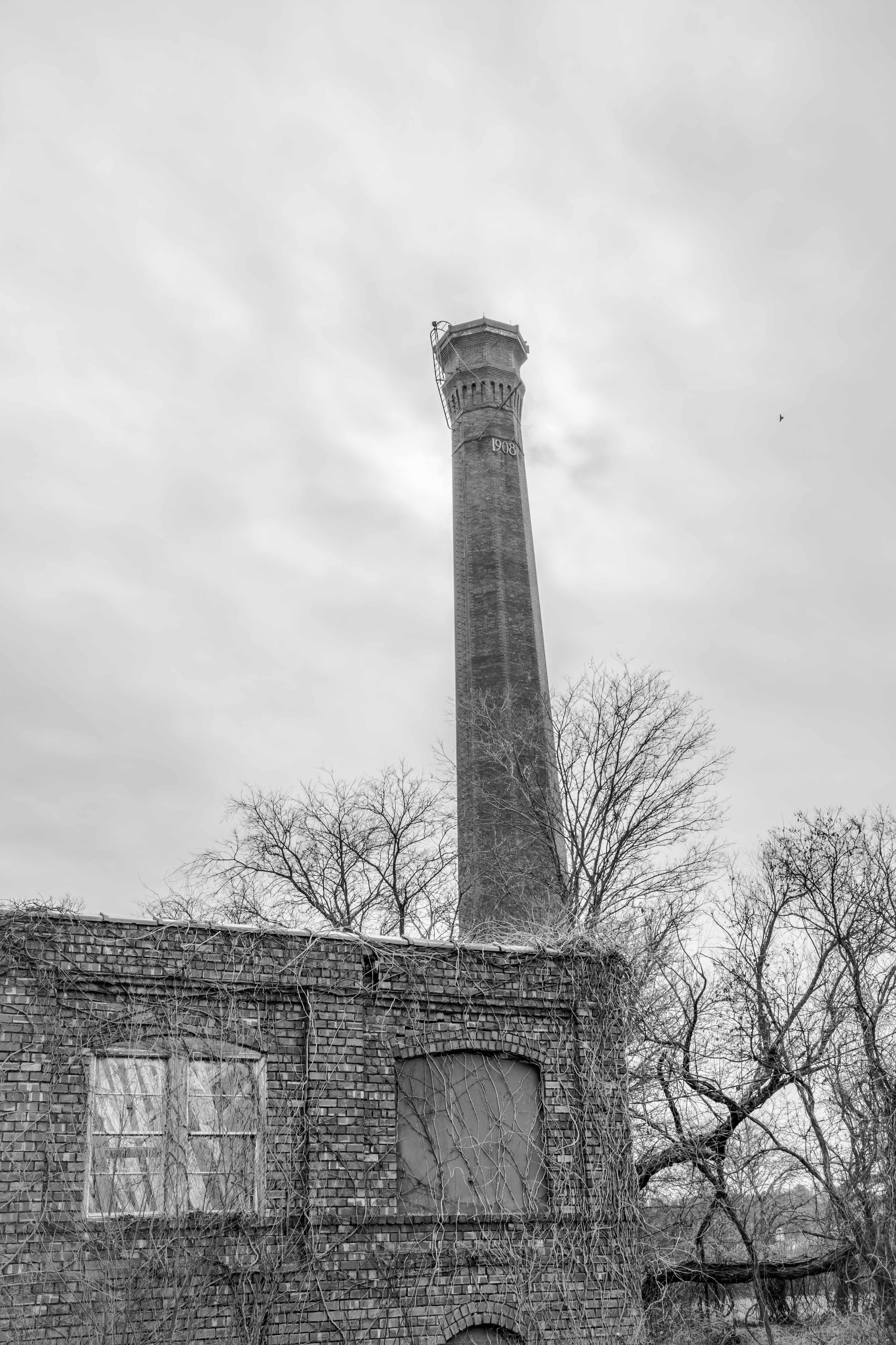
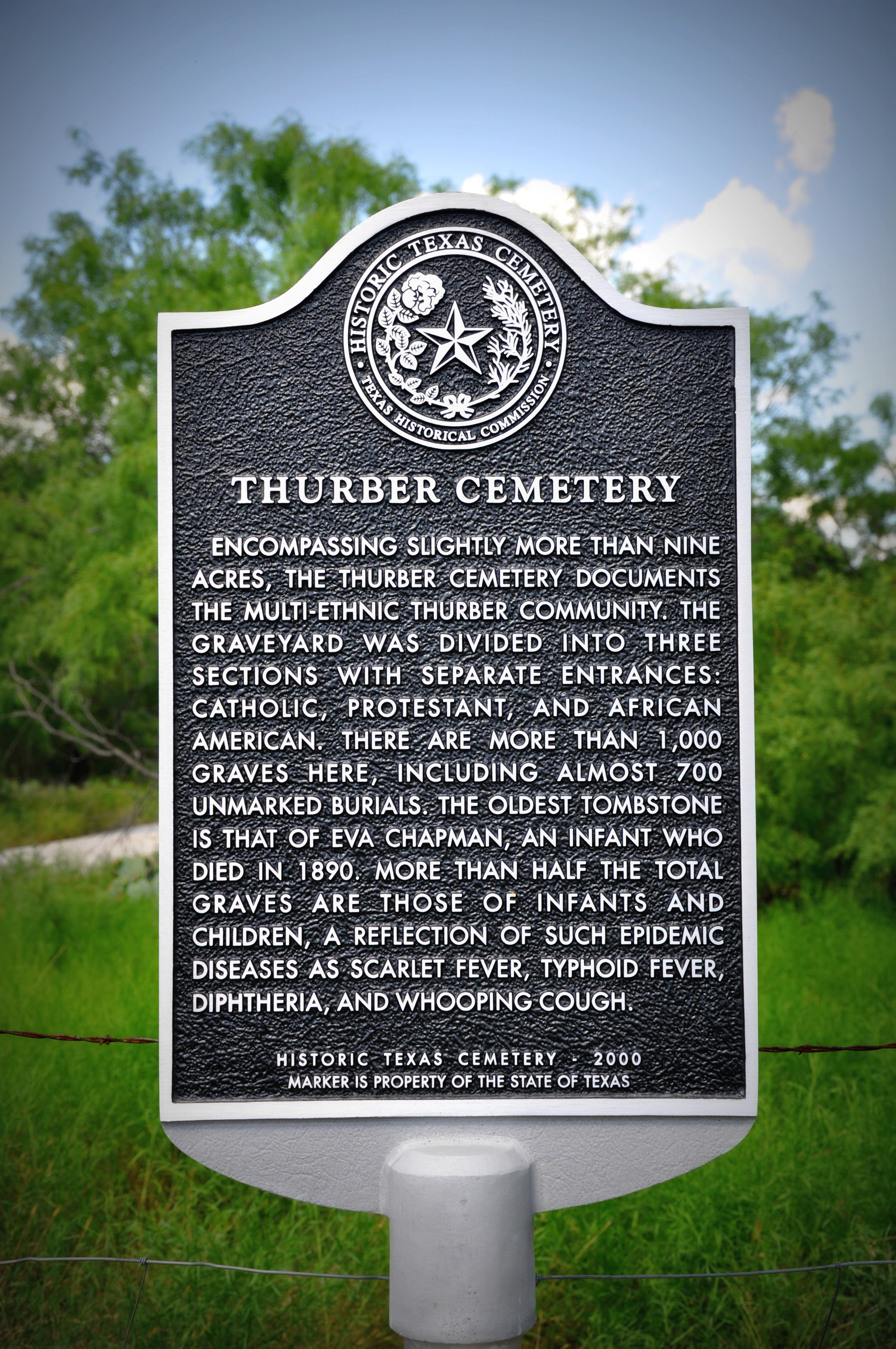
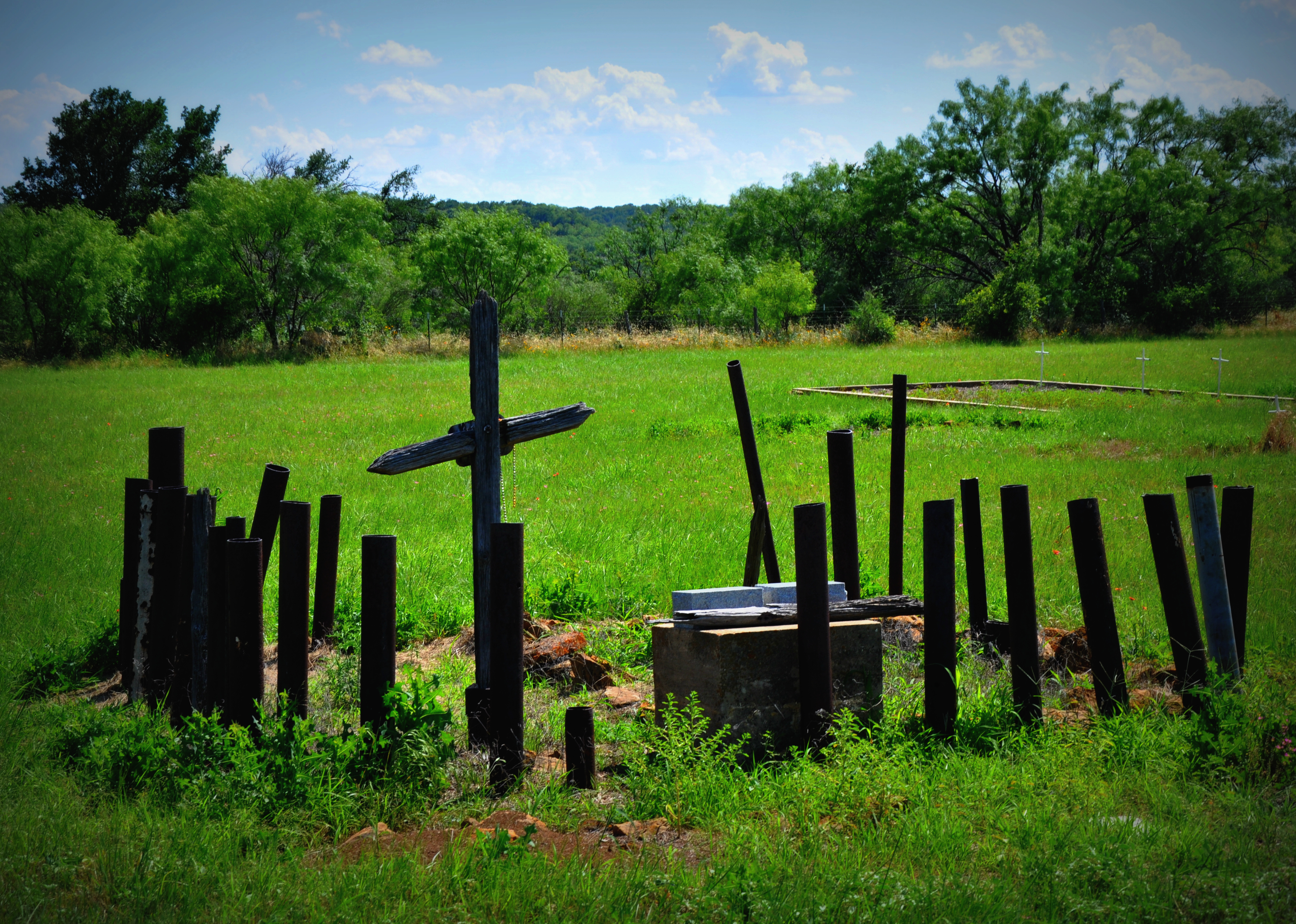
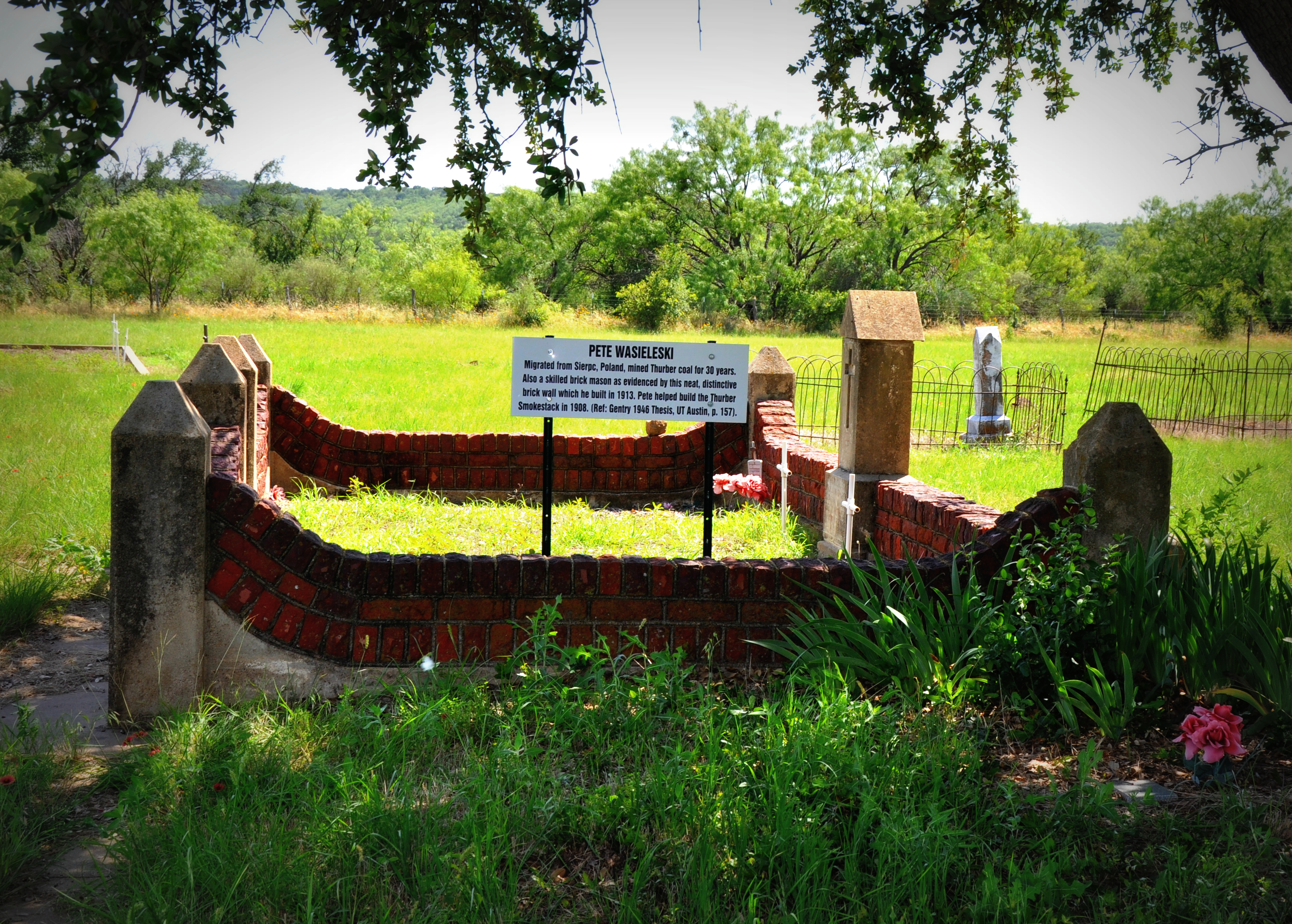
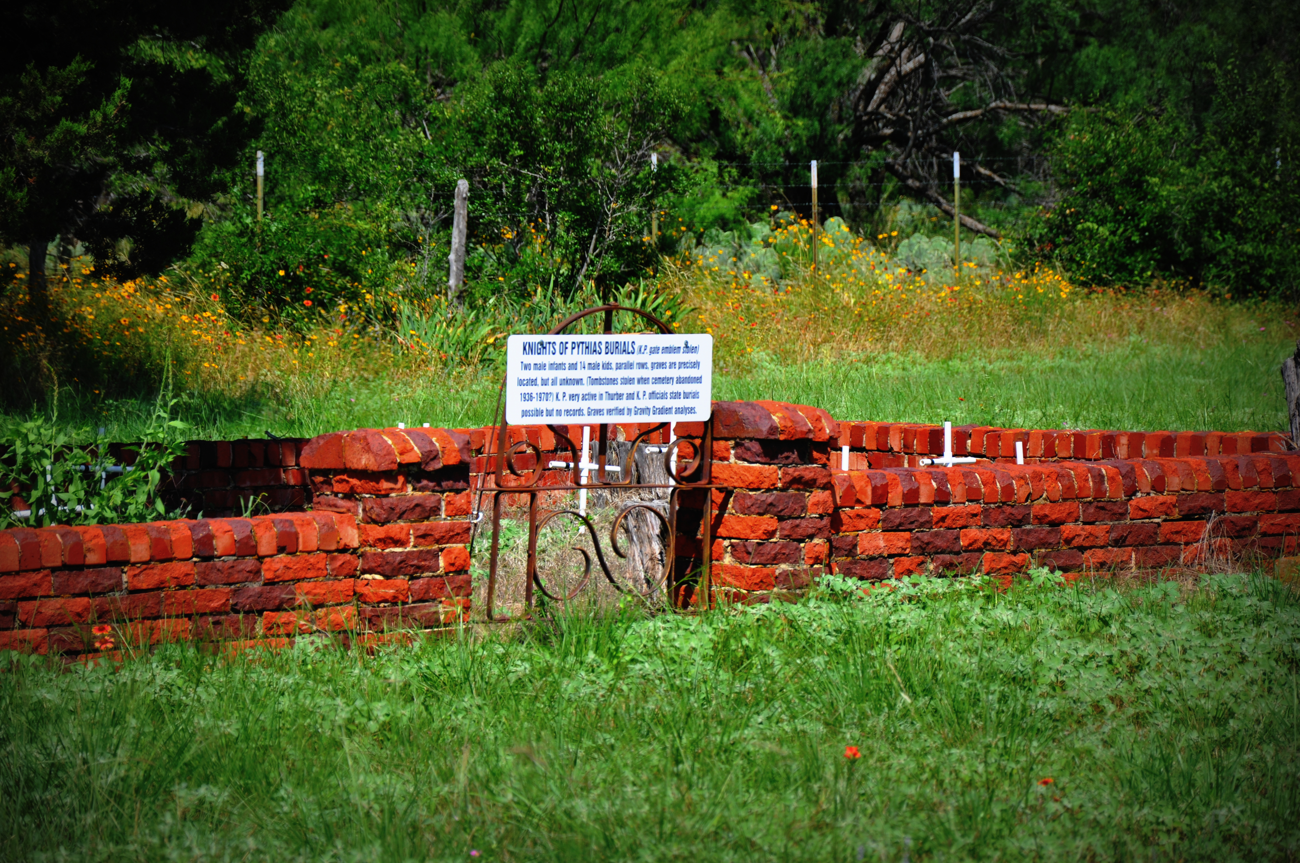
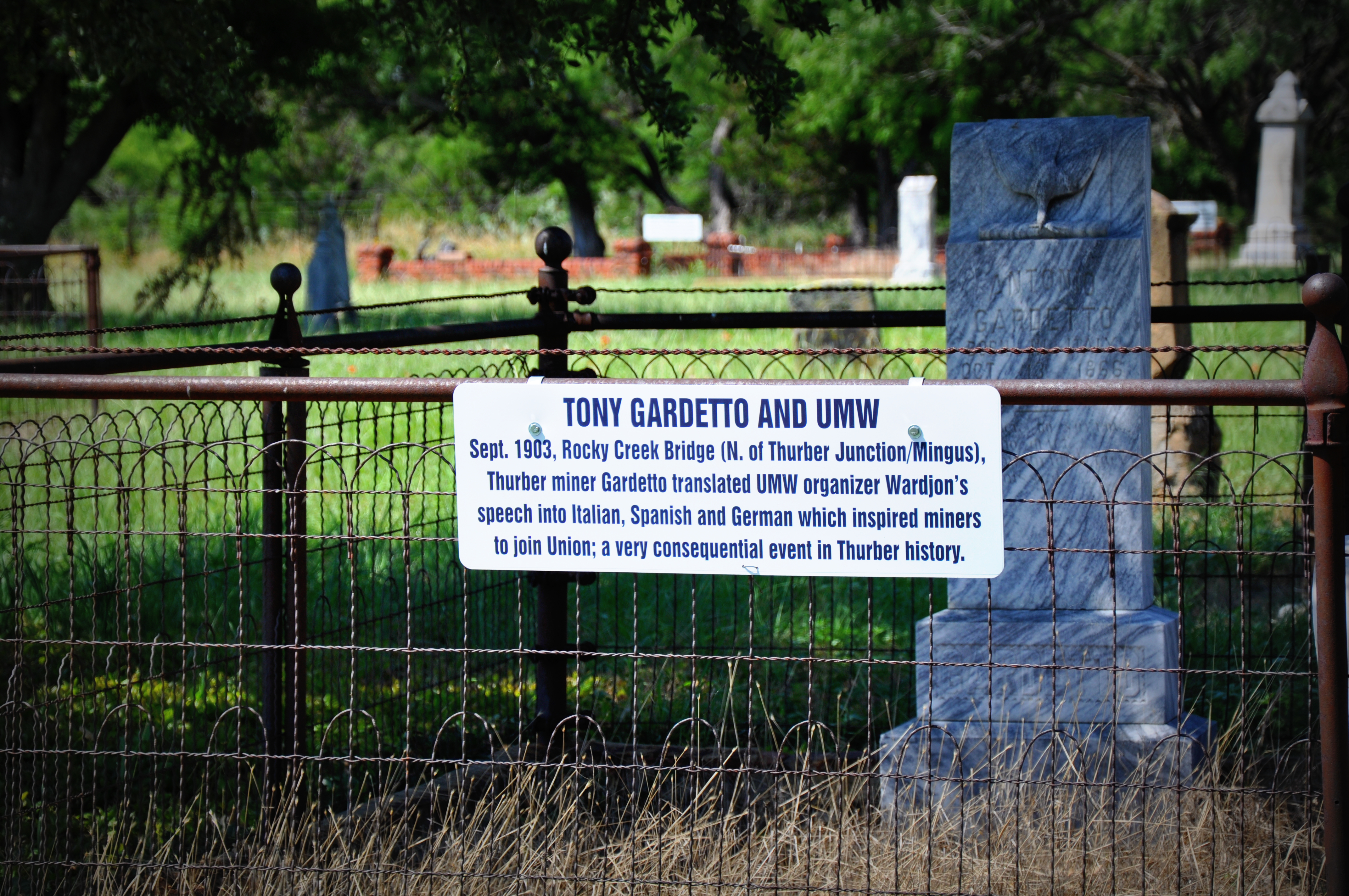
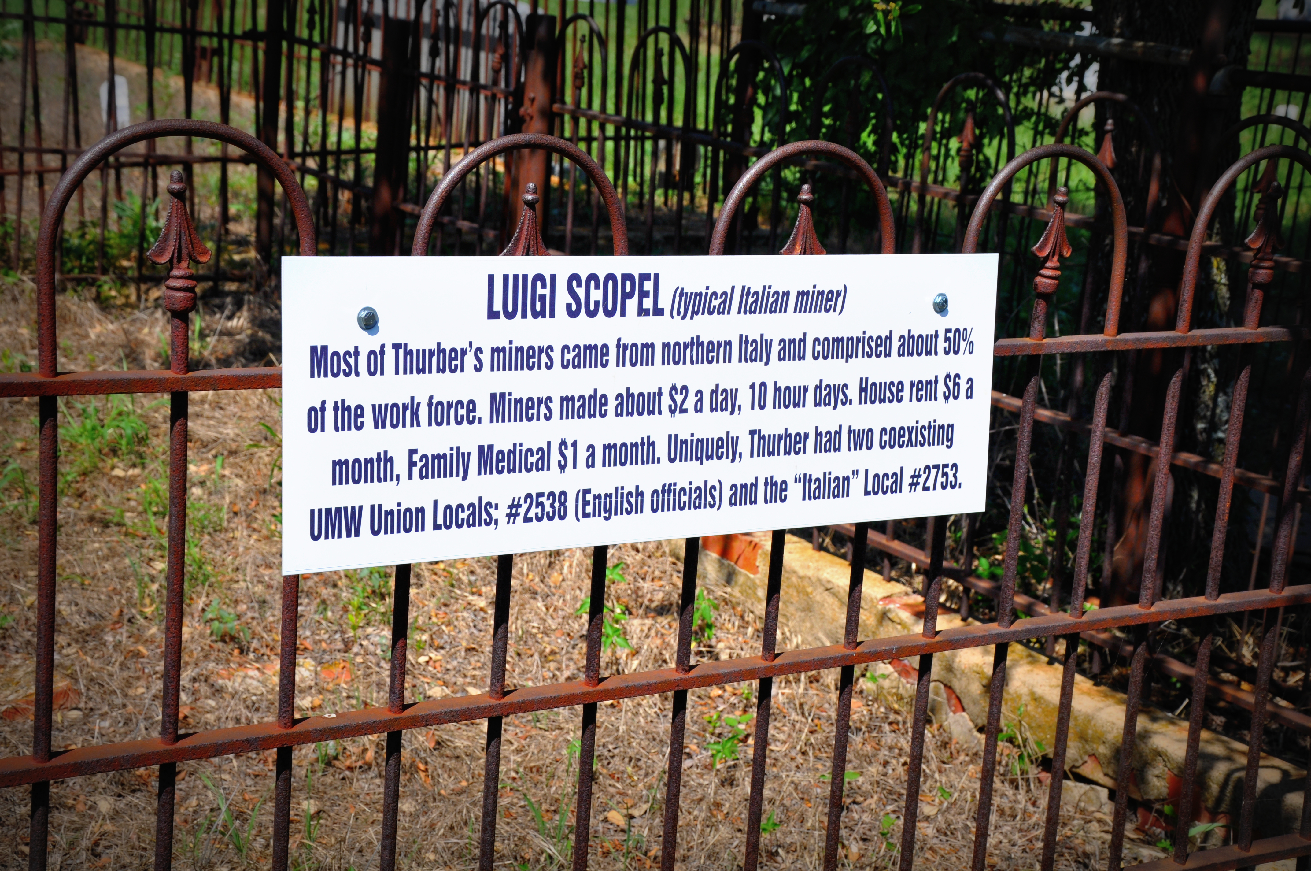
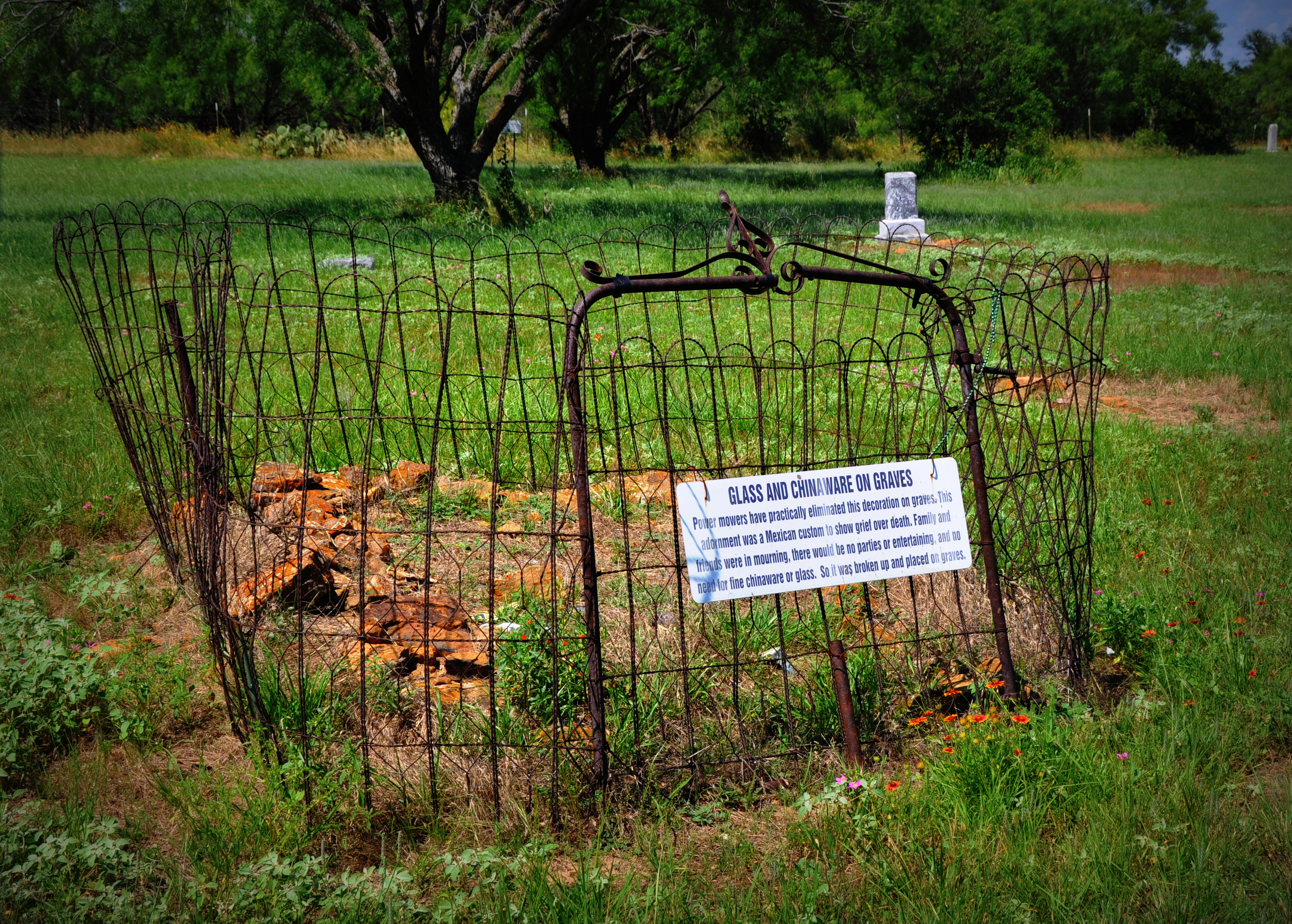
Thurber, Texas
Thurber, Texas
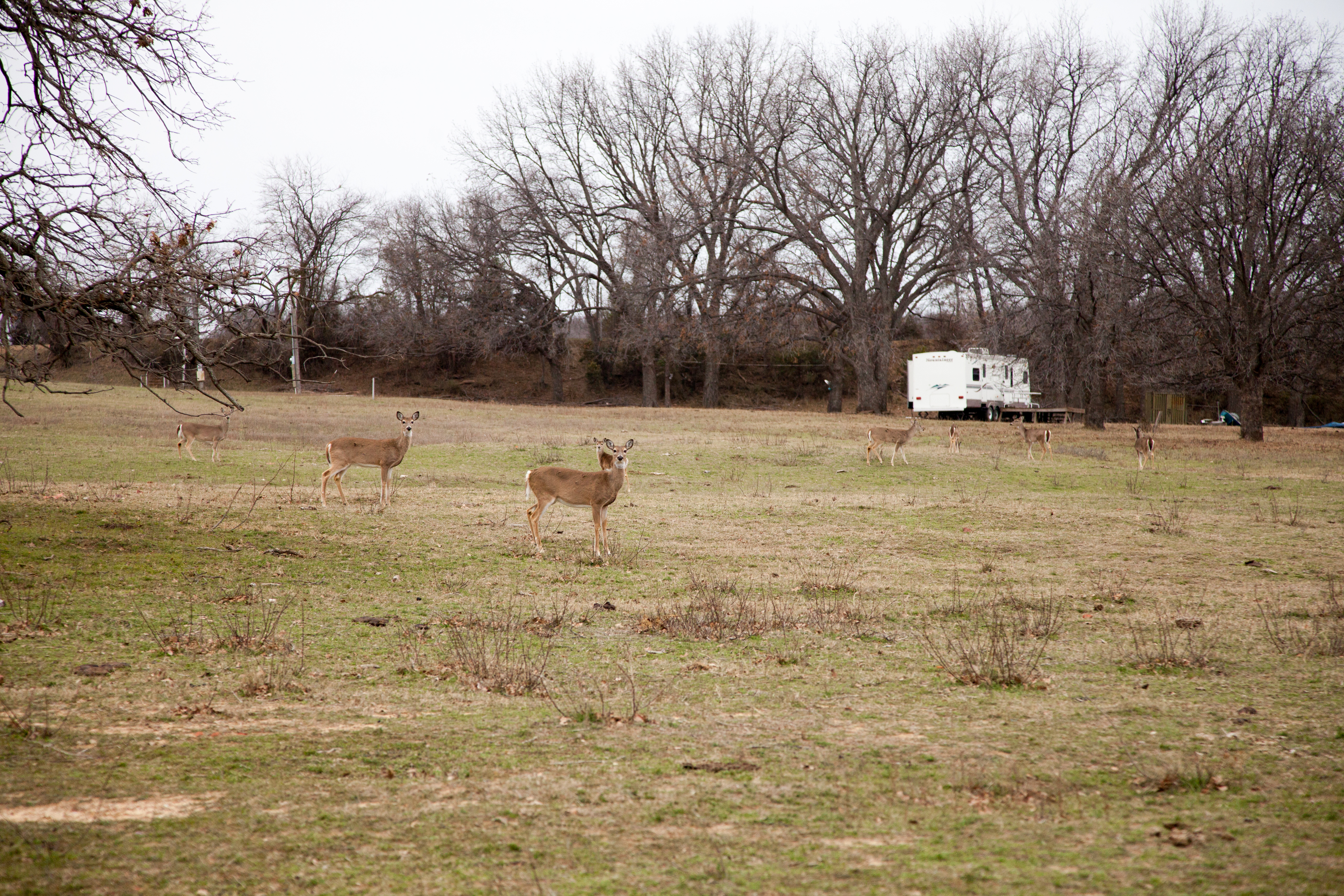
Deer in Thurber, Texas
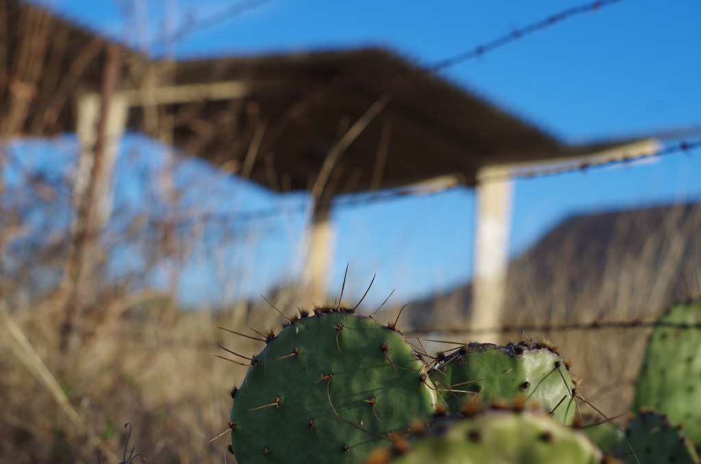
Prickley!
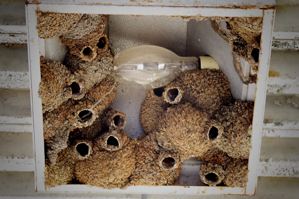
YIKES, DON'T TURN ON THAT LIGHT!

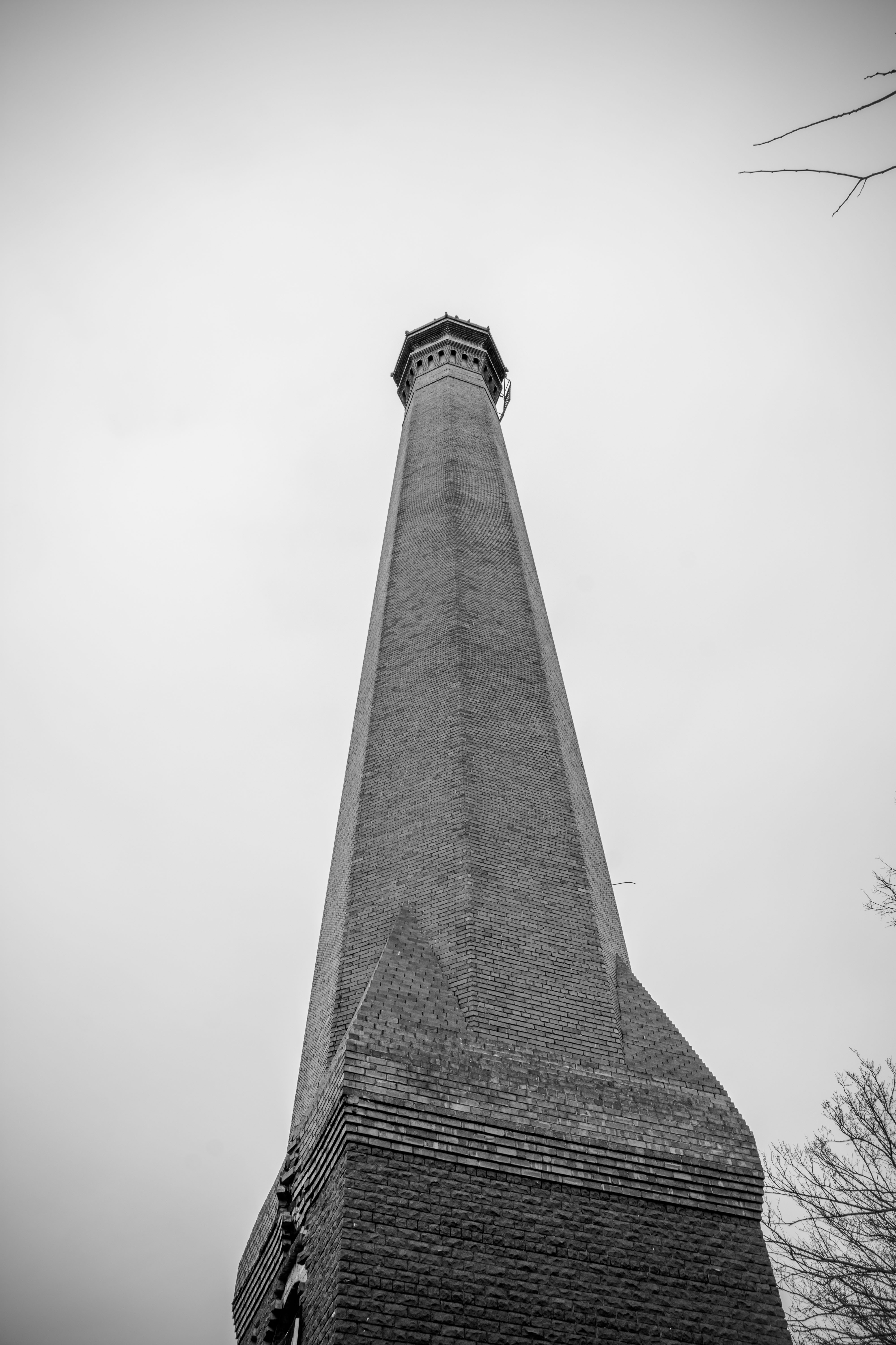
St Barbara

Story of St Barbara

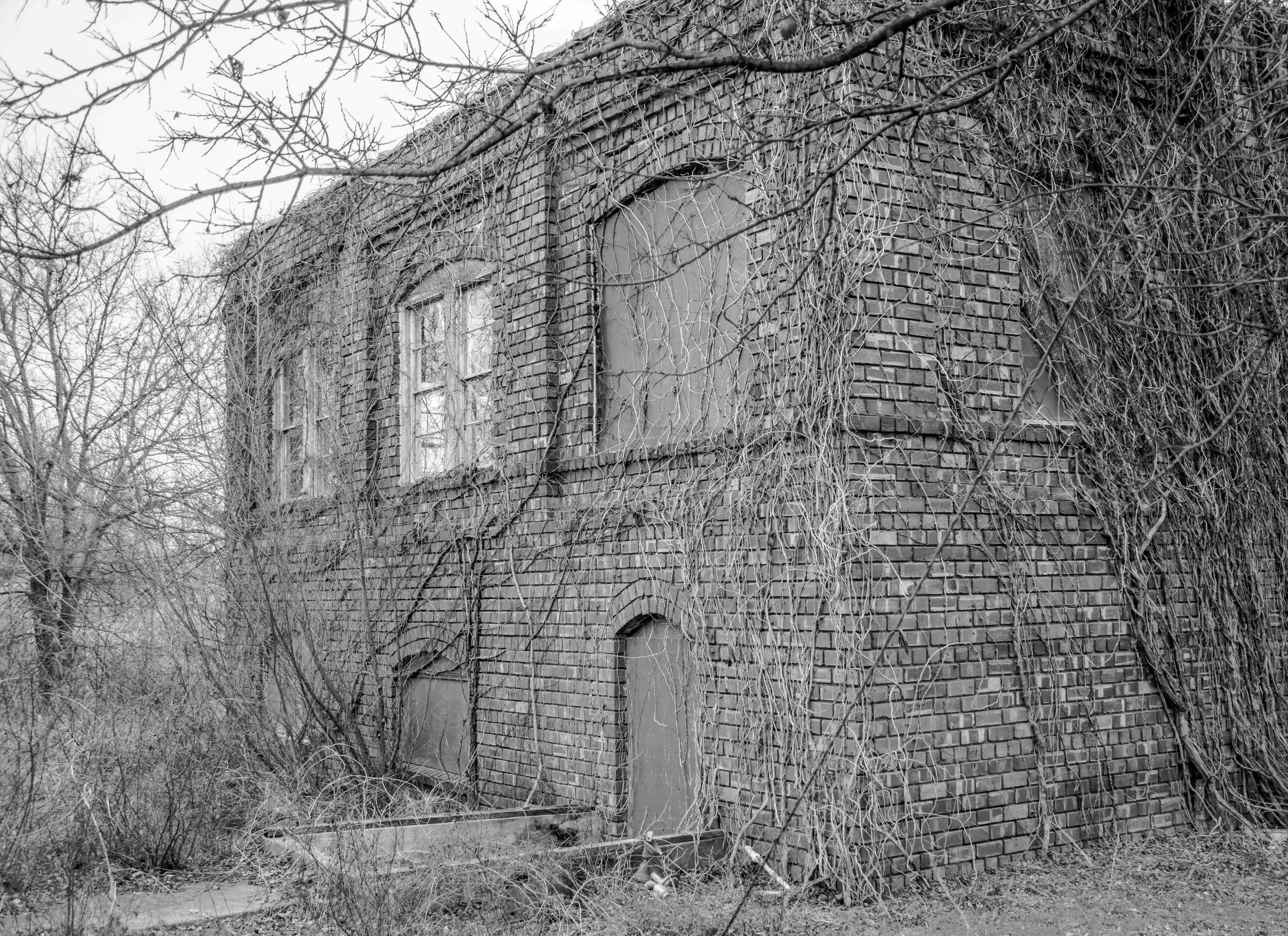
If walls could talk
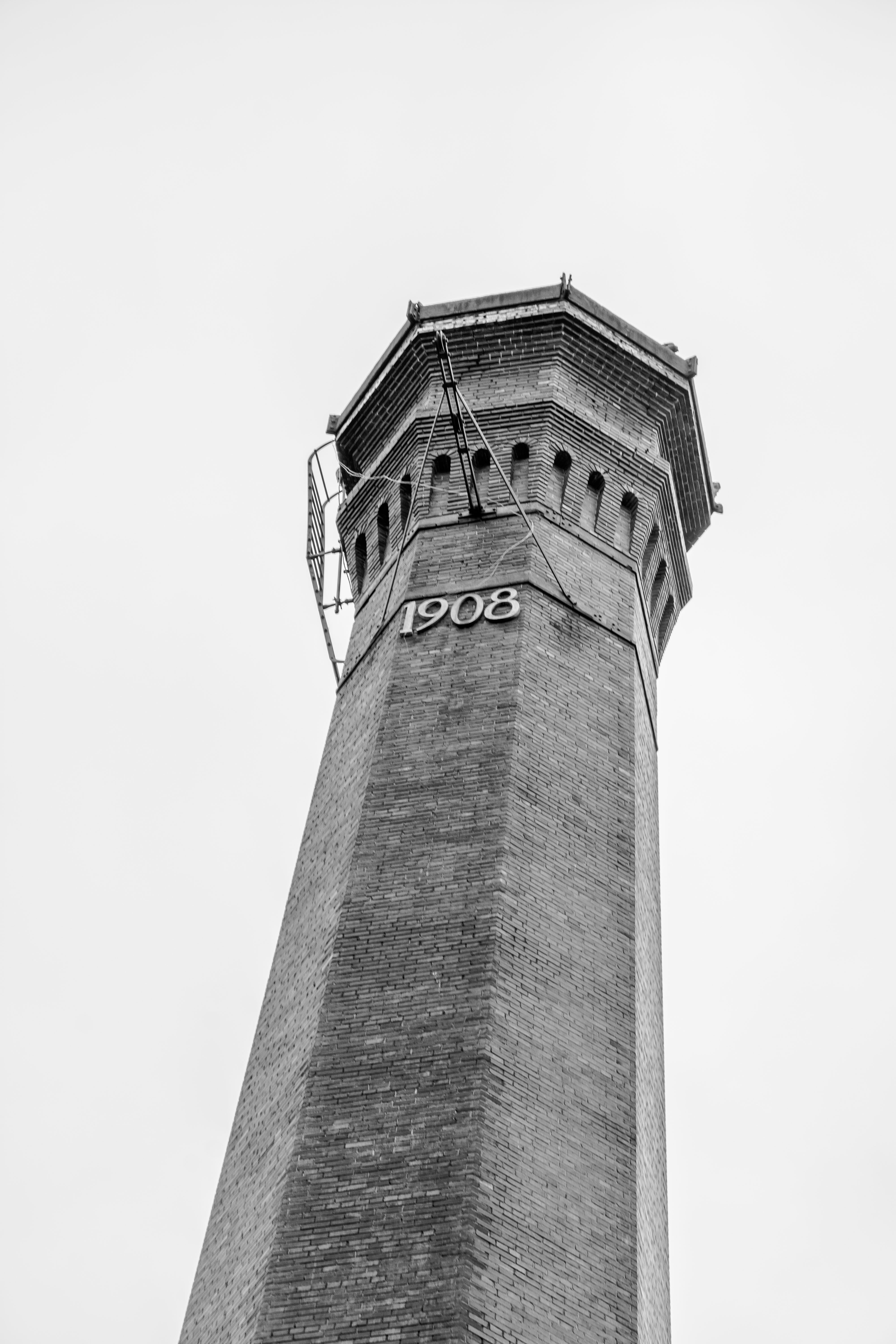
Thurber, Texas
Thurber, Texas

2015-10-28 19.05.24

even mild cases of Thurber Mingus should be treated by a doctor.
092-001lth
090-001lth
088-001lth
085-001lth
082-001lth
080-001lth
078-001lth
Topographic Map of County Road, County Rd, Mingus, TX, USA
Find elevation by address:

Places near County Road, County Rd, Mingus, TX, USA:
TX-, Stephenville, TX, USA
TX-, Stephenville, TX, USA
County Road 120
Mingus
Gordon
512 E Cedar St
TX-, Gordon, TX, USA
Unnamed Road
16462 Co Rd 163
1775 Sunset Mountain Rd
1775 Sunset Mountain Rd
Farm To Market Road 3208
Pr 719
FM 4, Santo, TX, USA
Santo
Lakeside Drive
FM 4, Santo, TX, USA
Morgan Mill Highway
Palo Pinto County
Giles Ln, Santo, TX, USA
Recent Searches:
- Elevation of Elwyn Dr, Roanoke Rapids, NC, USA
- Elevation of Congressional Dr, Stevensville, MD, USA
- Elevation of Bellview Rd, McLean, VA, USA
- Elevation of Stage Island Rd, Chatham, MA, USA
- Elevation of Shibuya Scramble Crossing, 21 Udagawacho, Shibuya City, Tokyo -, Japan
- Elevation of Jadagoniai, Kaunas District Municipality, Lithuania
- Elevation of Pagonija rock, Kranto 7-oji g. 8"N, Kaunas, Lithuania
- Elevation of Co Rd 87, Jamestown, CO, USA
- Elevation of Tenjo, Cundinamarca, Colombia
- Elevation of Côte-des-Neiges, Montreal, QC H4A 3J6, Canada