Elevation of Uniondale, IN, USA
Location: United States > Indiana > Wells County > Union Township >
Longitude: -85.241637
Latitude: 40.8306028
Elevation: 249m / 817feet
Barometric Pressure: 98KPa
Elevation Map:
Satellite Map:
Related Photos:
View from the Altar
Acres Along The Wabash ACRES Preserve(21)
September storm
Acres Along The Wabash Preserve, ACRES(3)

around the rock
Wabash River, Bluffton
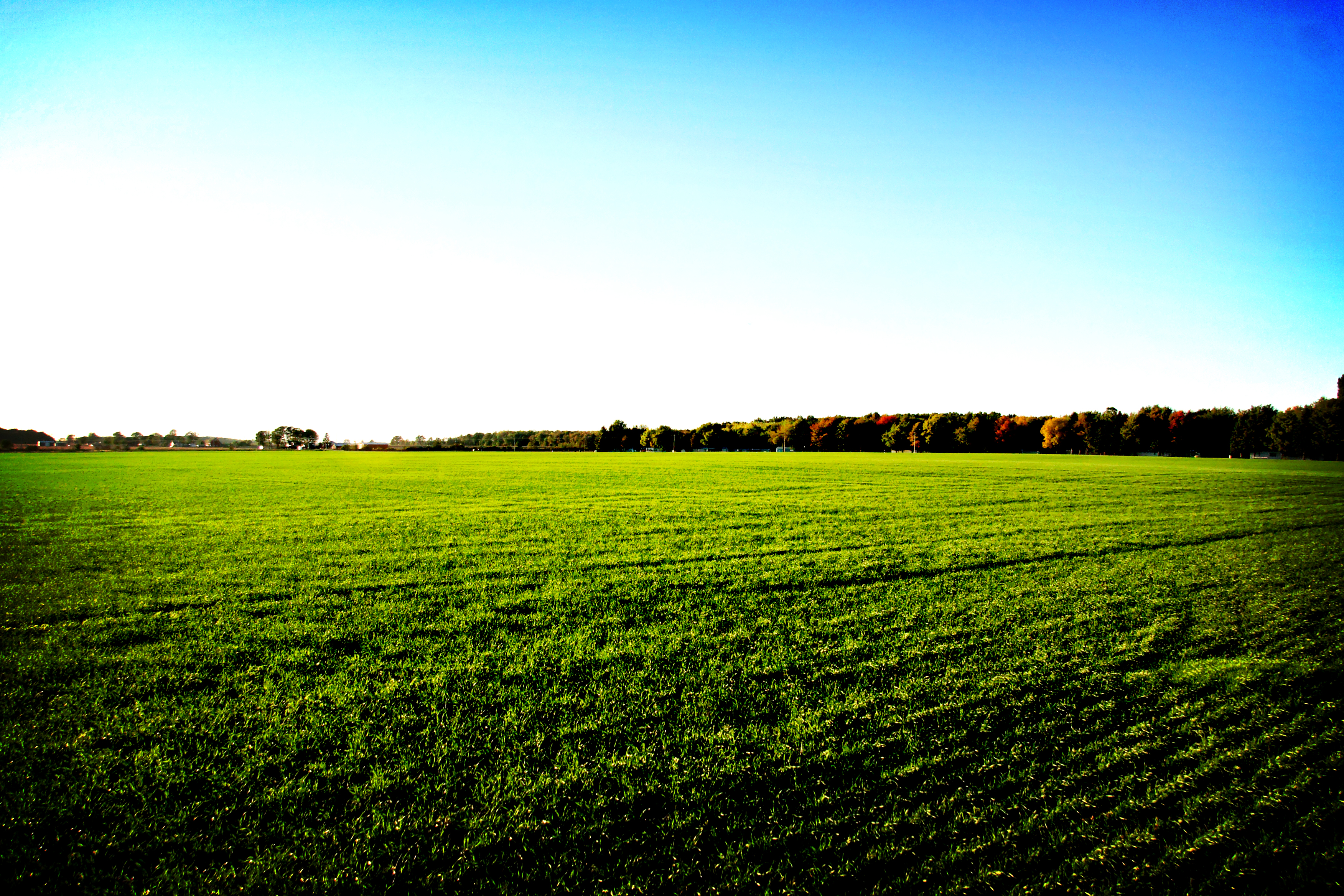
Field of Green

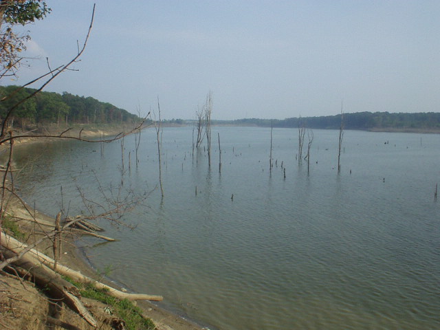
Roush Lake

Photo Sep 01, 7 30 24 PM

the red and the rocky
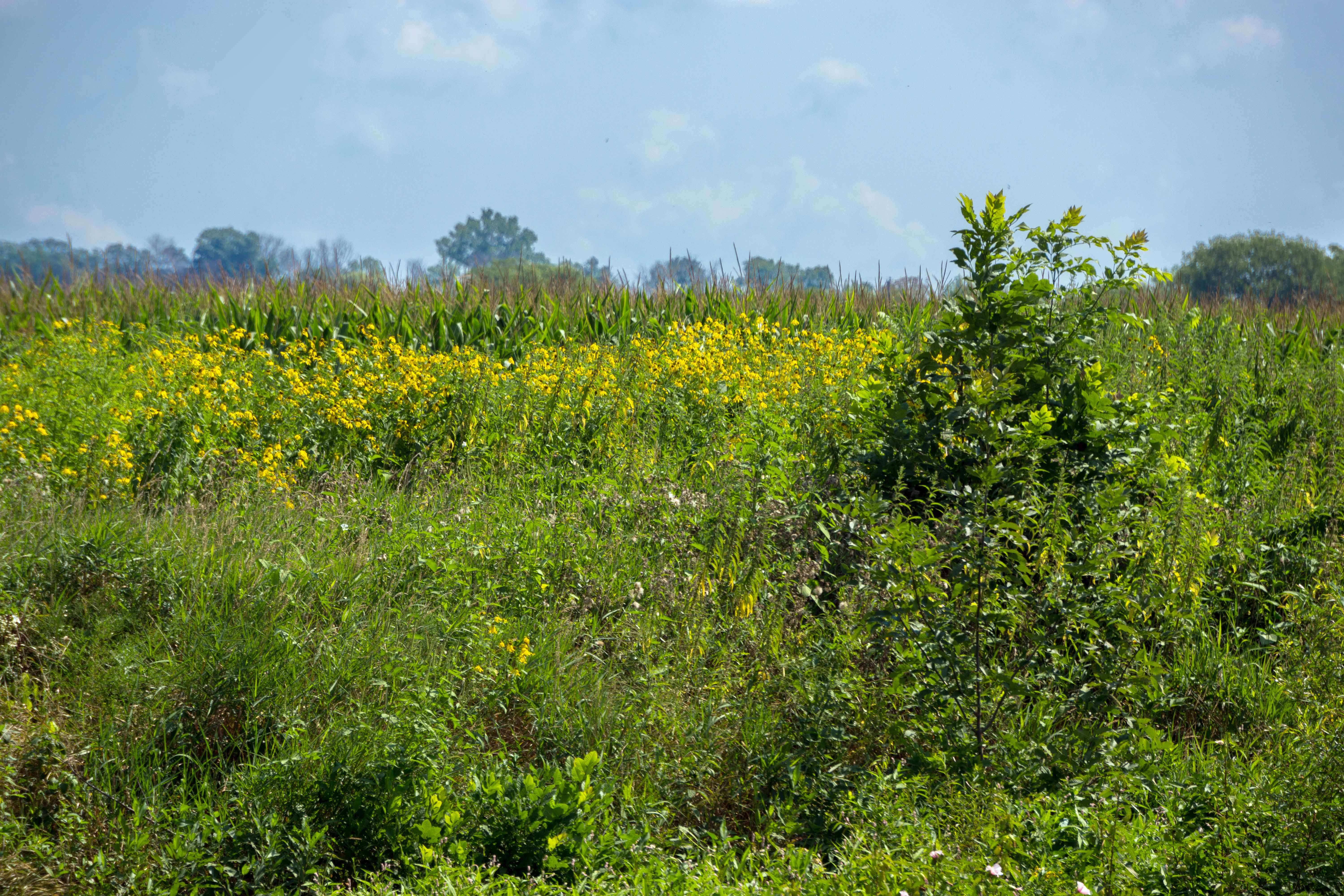
Field Next to Wabash River, Bluffton IN

Wabash River, Bluffton IN
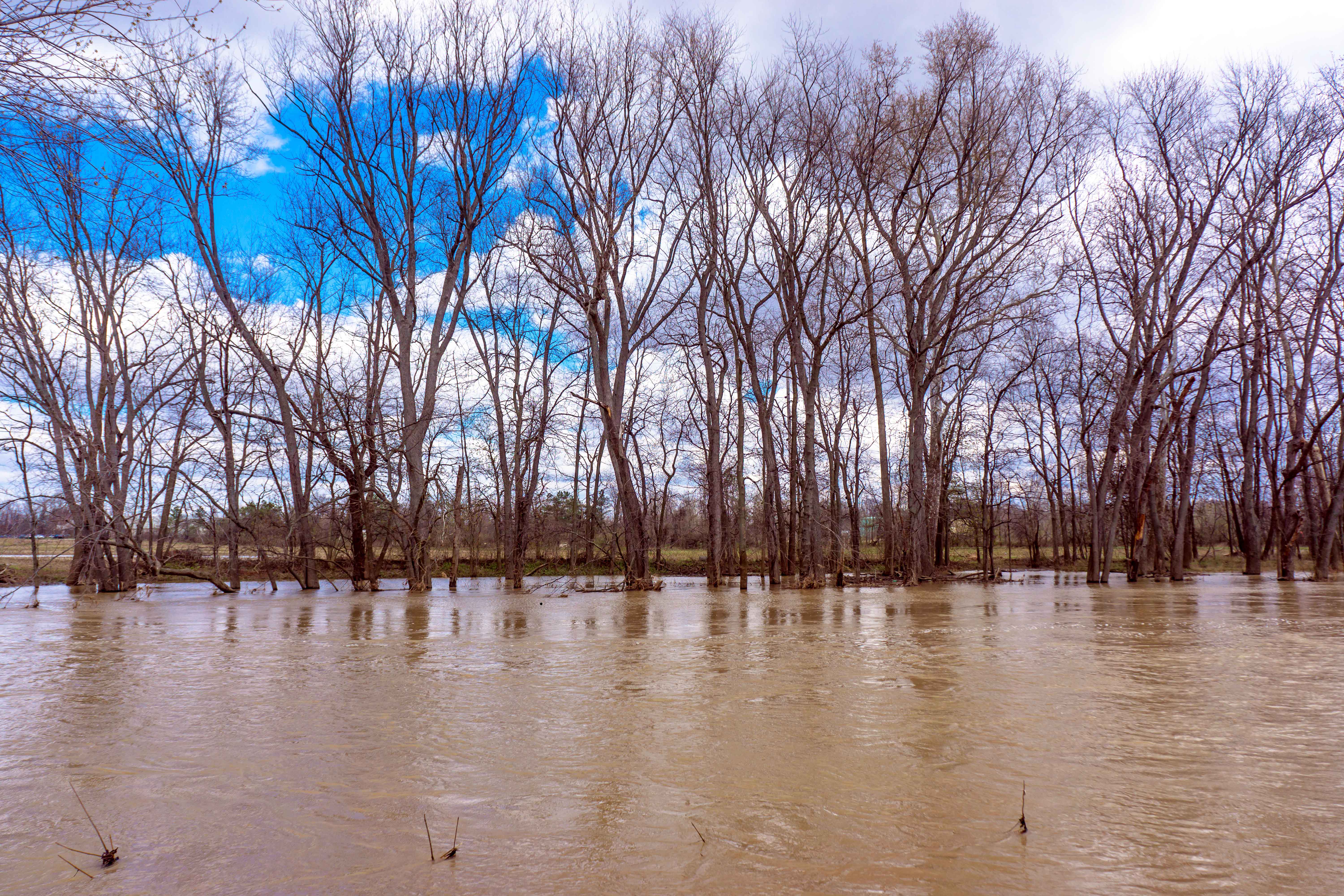
trees in the water

along the house

pink & whites

lone rose

pop of red

snapdragons pink

hidden pinks

pink & whites

purple bells
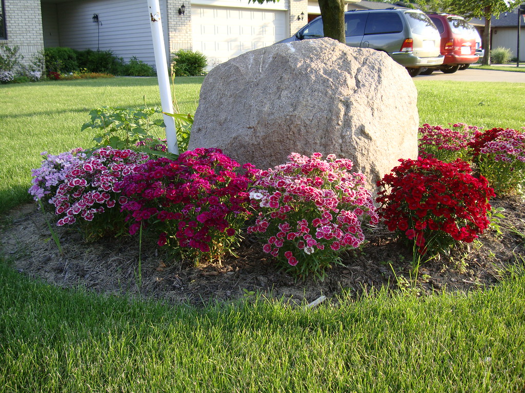
reds by the rock
Topographic Map of Uniondale, IN, USA
Find elevation by address:

Places in Uniondale, IN, USA:
Places near Uniondale, IN, USA:
N W, Uniondale, IN, USA
Rockcreek Township
E Water St, Ossian, IN, USA
2618 E 500 N
Union Township
3618 E 500 N
N Jefferson St, Ossian, IN, USA
Ossian
Markle
350 E Wilt St
Lancaster Township
Yoder
Yoder Rd, Yoder, IN, USA
Jefferson Township
Rock Creek Township
Union Township
4554 E 610 N
E S, Huntington, IN, USA
13940 Conners Rd
E Station Rd, Roanoke, IN, USA
Recent Searches:
- Elevation of 7 Waterfall Way, Tomball, TX, USA
- Elevation of SW 57th Ave, Portland, OR, USA
- Elevation of Crocker Dr, Vacaville, CA, USA
- Elevation of Pu Ngaol Community Meeting Hall, HWHM+3X7, Krong Saen Monourom, Cambodia
- Elevation of Royal Ontario Museum, Queens Park, Toronto, ON M5S 2C6, Canada
- Elevation of Groblershoop, South Africa
- Elevation of Power Generation Enterprises | Industrial Diesel Generators, Oak Ave, Canyon Country, CA, USA
- Elevation of Chesaw Rd, Oroville, WA, USA
- Elevation of N, Mt Pleasant, UT, USA
- Elevation of 6 Rue Jules Ferry, Beausoleil, France