Elevation of Jefferson Township, IN, USA
Location: United States > Indiana > Wells County >
Longitude: -85.127190
Latitude: 40.8761948
Elevation: 252m / 827feet
Barometric Pressure: 98KPa
Elevation Map:
Satellite Map:
Related Photos:

VX-31 F/A-18 Super Hornet landing at Fort Wayne International
View from the Altar

Collings Foundation TP-51C Mustang "Betty Jane"

VX-31 F/A-18 Super Hornet landing at Fort Wayne International

September Skies

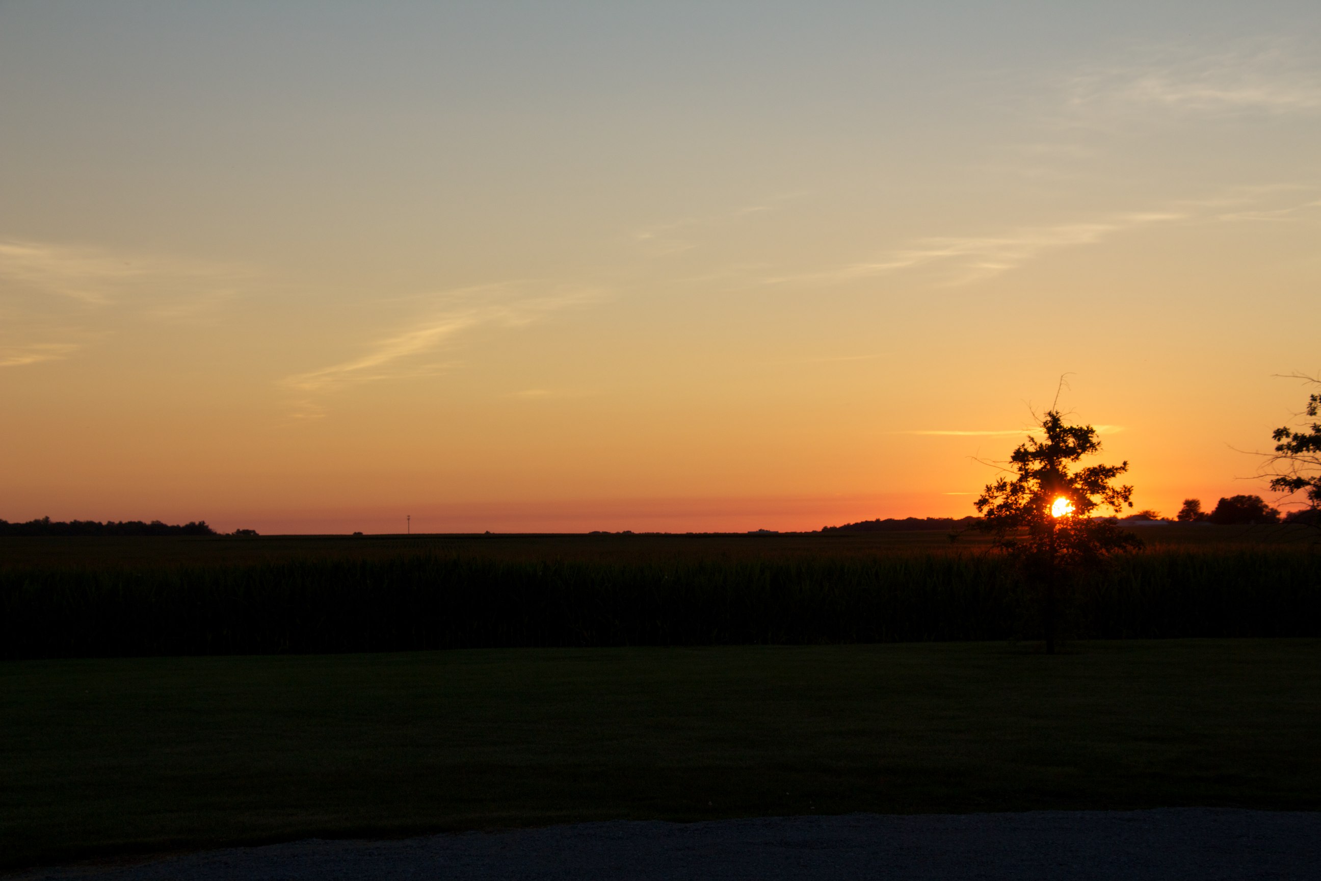
January sunset

Straw bales

Kinsale 20130823 1998
Airport Sunset

Near home

around the rock

Kinsale 20130823 1999

snapdragons yellow

Kinsale 20130823 2035

September storm
Acres Along The Wabash ACRES Preserve(21)
Acres Along The Wabash Preserve, ACRES(3)
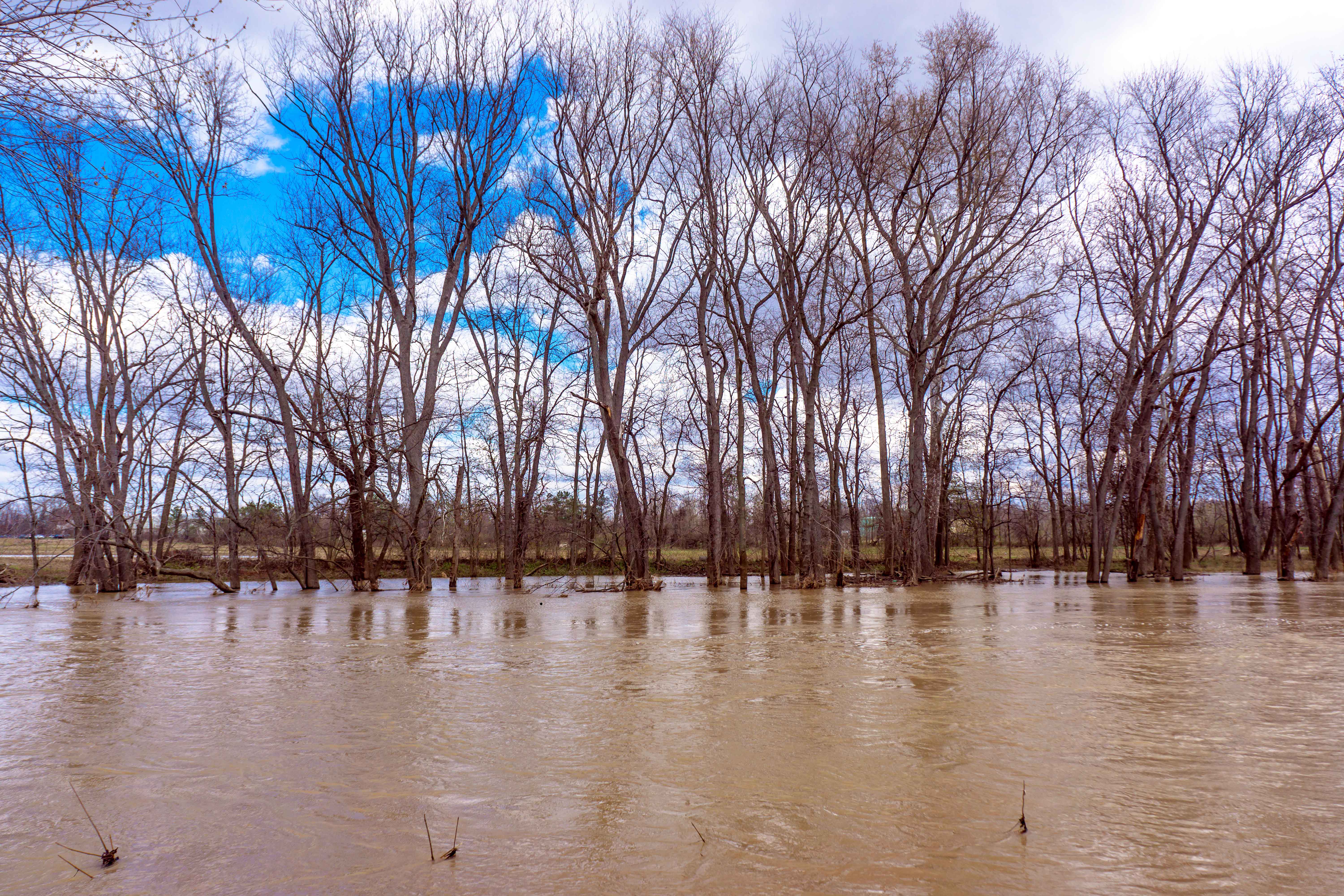
Wabash River, Bluffton

the red and the rocky

August Clouds

August Pasture

along the house
Kinsale 20130825 2517
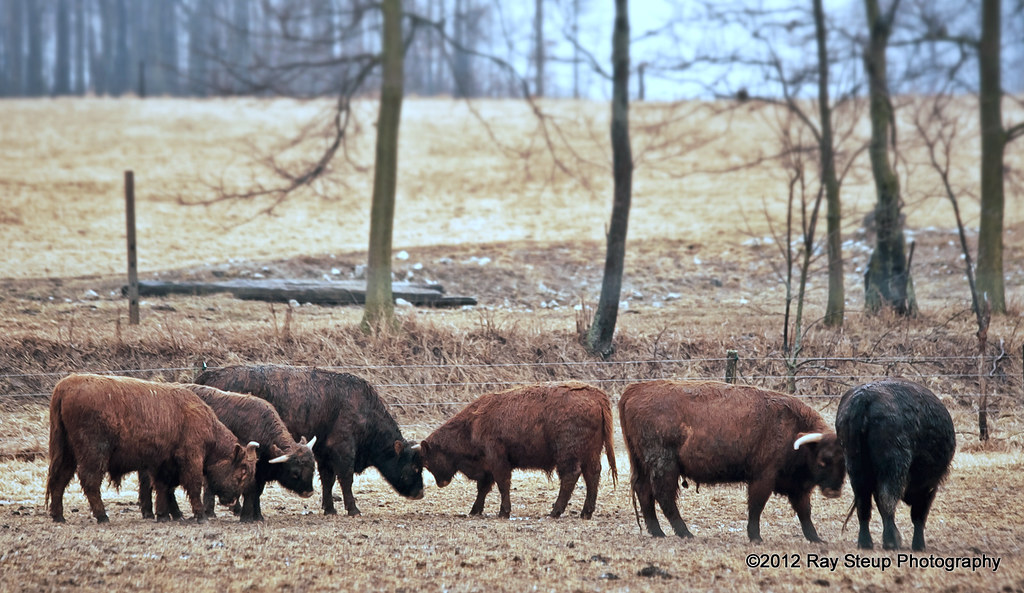
Highland cattle

pink & whites
Topographic Map of Jefferson Township, IN, USA
Find elevation by address:

Places in Jefferson Township, IN, USA:
Places near Jefferson Township, IN, USA:
Ossian
N Jefferson St, Ossian, IN, USA
3618 E 500 N
E Water St, Ossian, IN, USA
Winchester Rd, Fort Wayne, IN, USA
Yoder Rd, Yoder, IN, USA
Yoder
2618 E 500 N
13940 Conners Rd
Lancaster Township
Uniondale
N W, Uniondale, IN, USA
Union Township
Rockcreek Township
Markle
350 E Wilt St
4554 E 610 N
E Station Rd, Roanoke, IN, USA
Union Township
Rock Creek Township
Recent Searches:
- Elevation of Lampiasi St, Sarasota, FL, USA
- Elevation of Elwyn Dr, Roanoke Rapids, NC, USA
- Elevation of Congressional Dr, Stevensville, MD, USA
- Elevation of Bellview Rd, McLean, VA, USA
- Elevation of Stage Island Rd, Chatham, MA, USA
- Elevation of Shibuya Scramble Crossing, 21 Udagawacho, Shibuya City, Tokyo -, Japan
- Elevation of Jadagoniai, Kaunas District Municipality, Lithuania
- Elevation of Pagonija rock, Kranto 7-oji g. 8"N, Kaunas, Lithuania
- Elevation of Co Rd 87, Jamestown, CO, USA
- Elevation of Tenjo, Cundinamarca, Colombia