Elevation of Union Valley Rd, Perryville, AR, USA
Location: United States > Arkansas > Perry County > Cherry Hill Township >
Longitude: -92.895199
Latitude: 34.940146
Elevation: 102m / 335feet
Barometric Pressure: 100KPa
Elevation Map:
Satellite Map:
Related Photos:
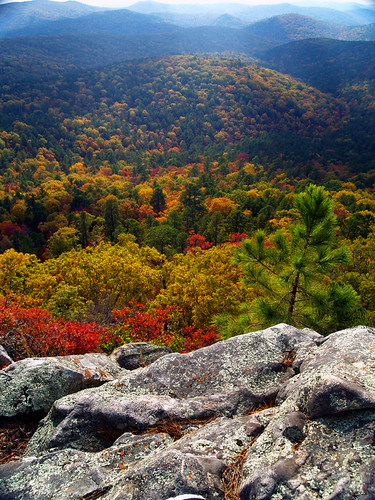
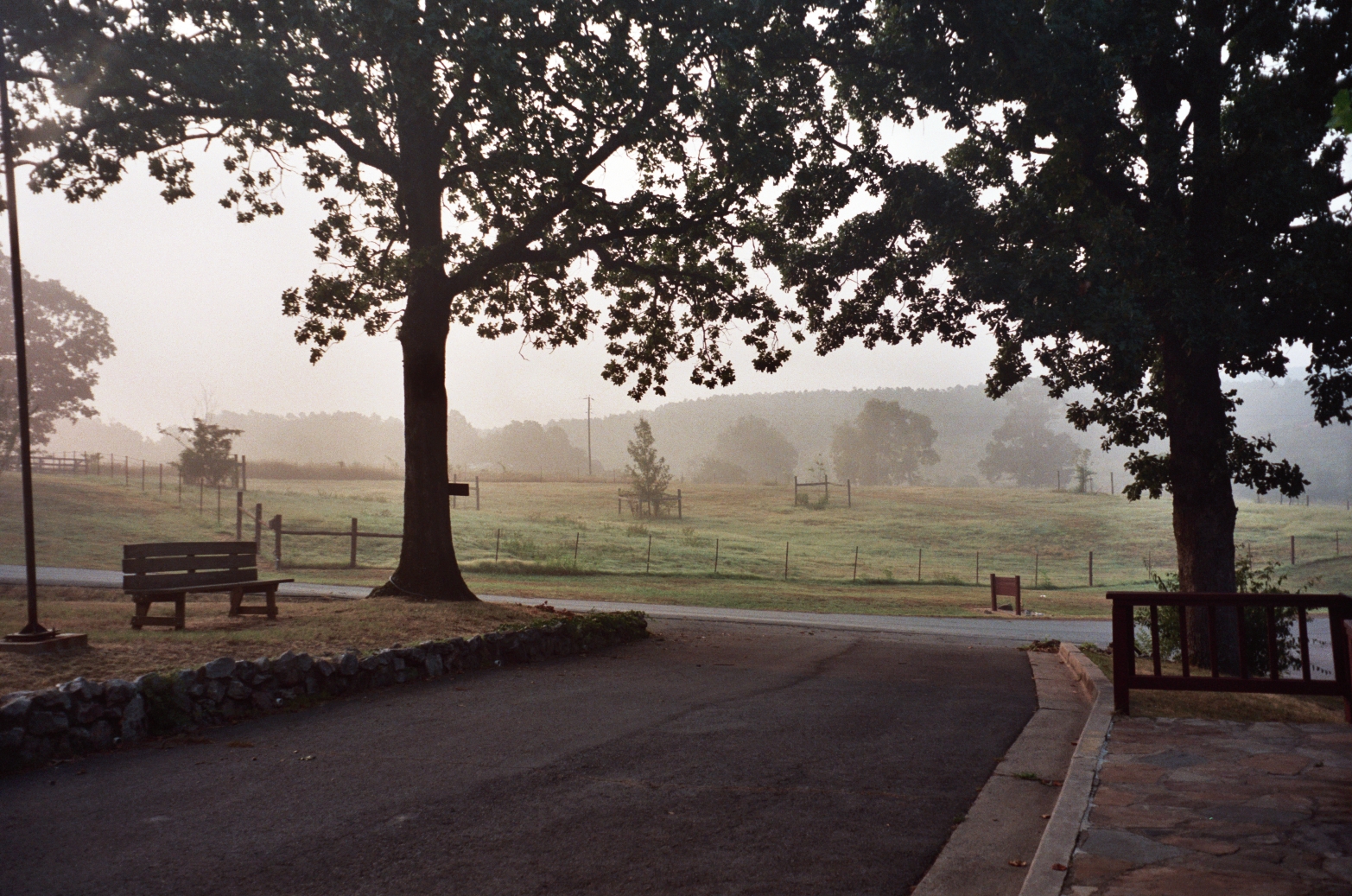
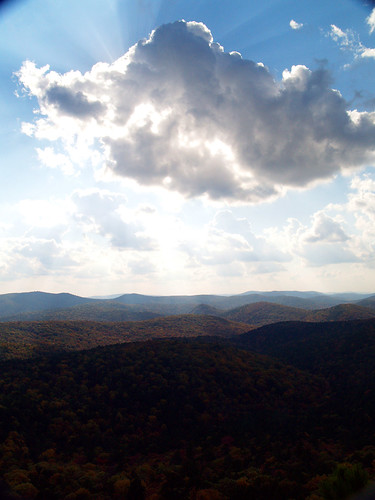
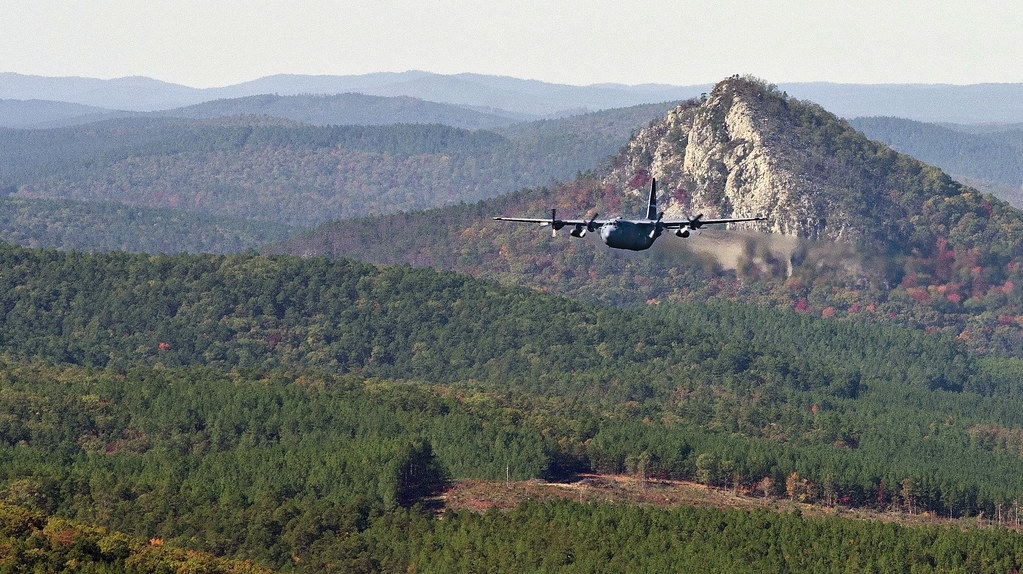
Flatside Pinnacle
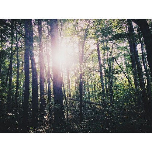
Going Green
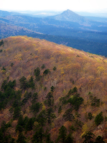
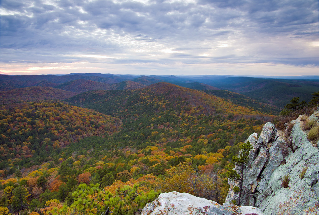
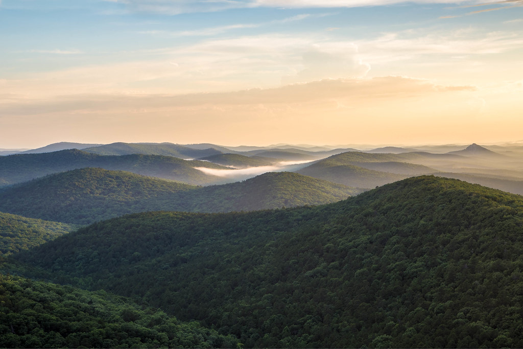
View from Flatside

Flatside Wilderness
#everyday #sunset in #myworld #sunset #sunrise #sun #TagsForLikes.com #TFLers #pretty #beautiful #red #orange #pink #sky #skyporn #cloudporn #nature #clouds #horizon #photooftheday #instagood #gorgeous #warm #view #night #silhouette #instasky #all_sunset
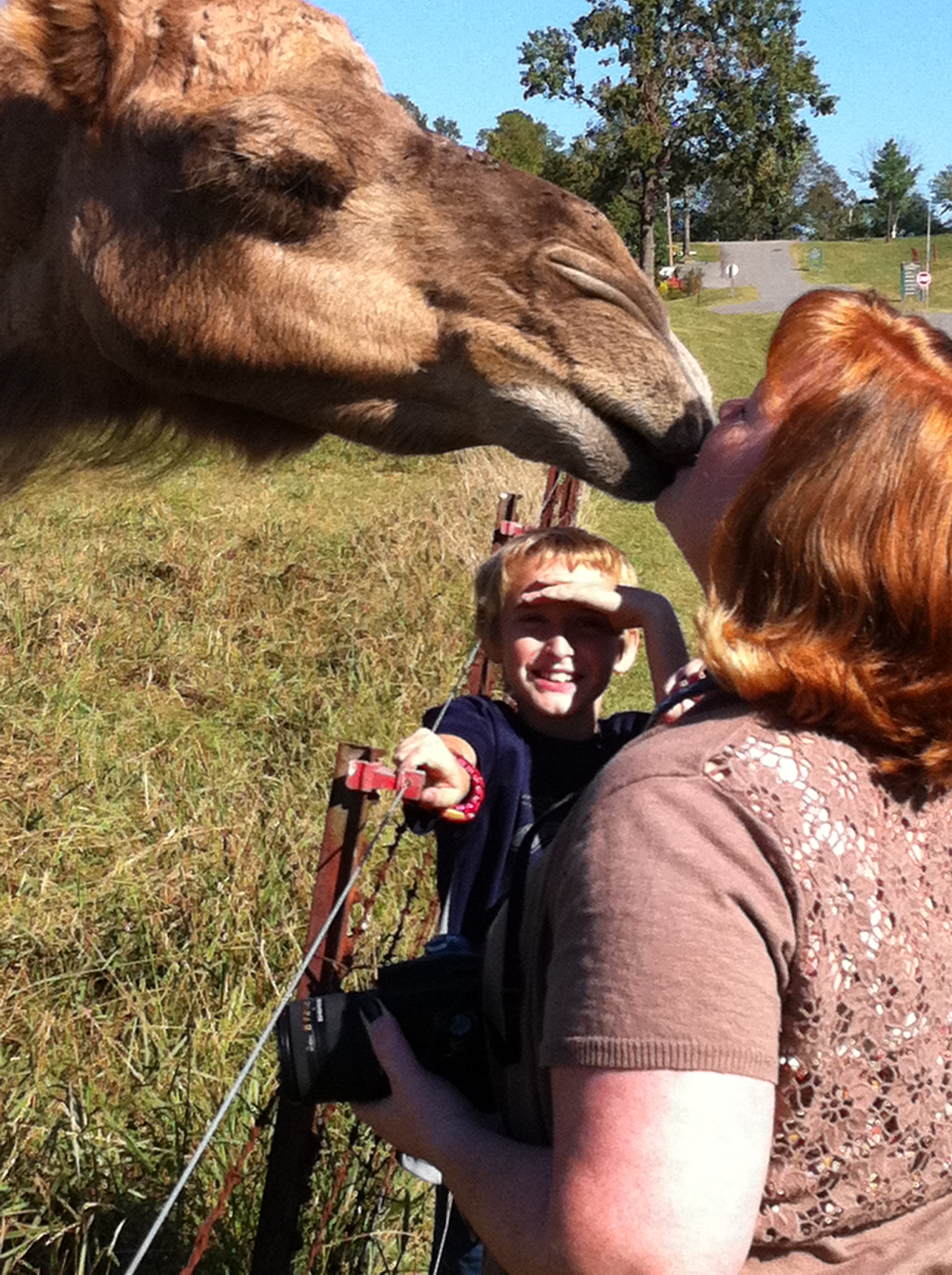
Hillary & Gobi

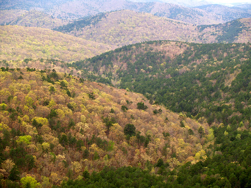
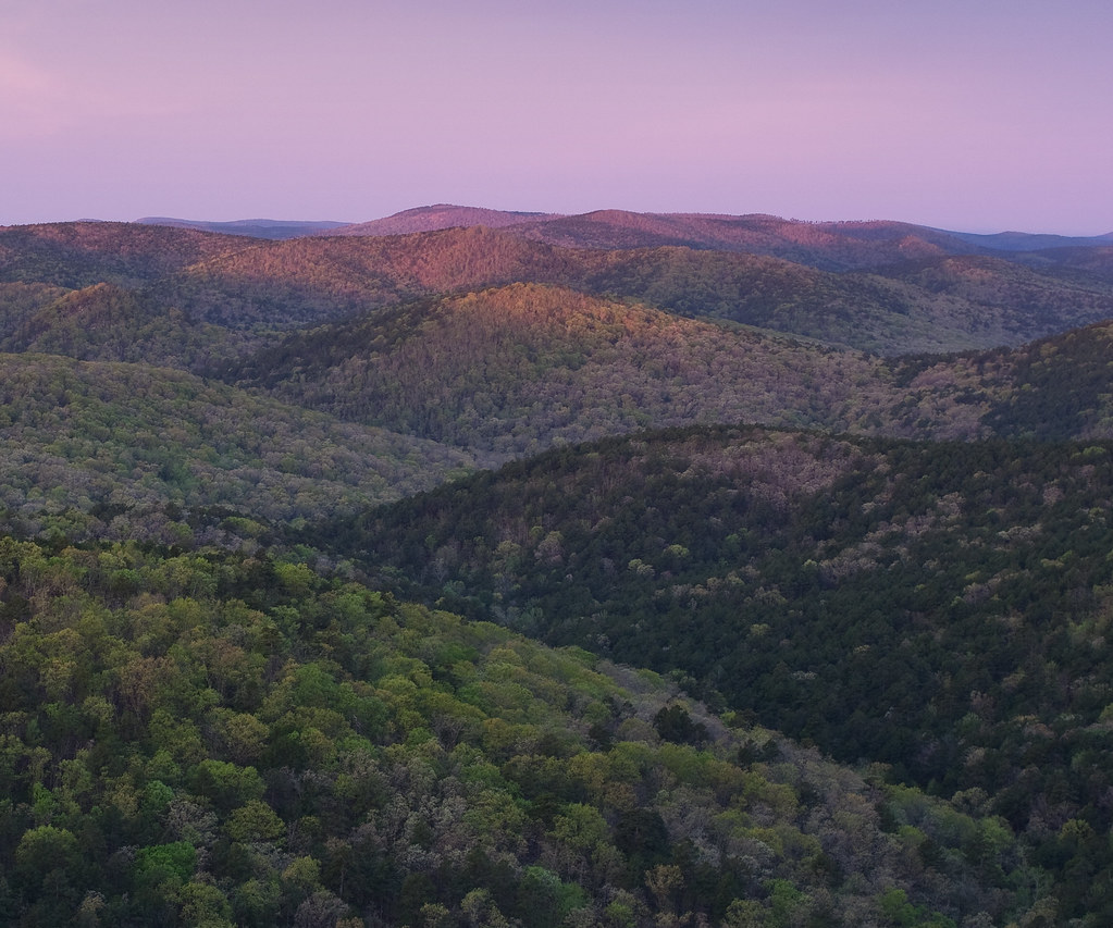
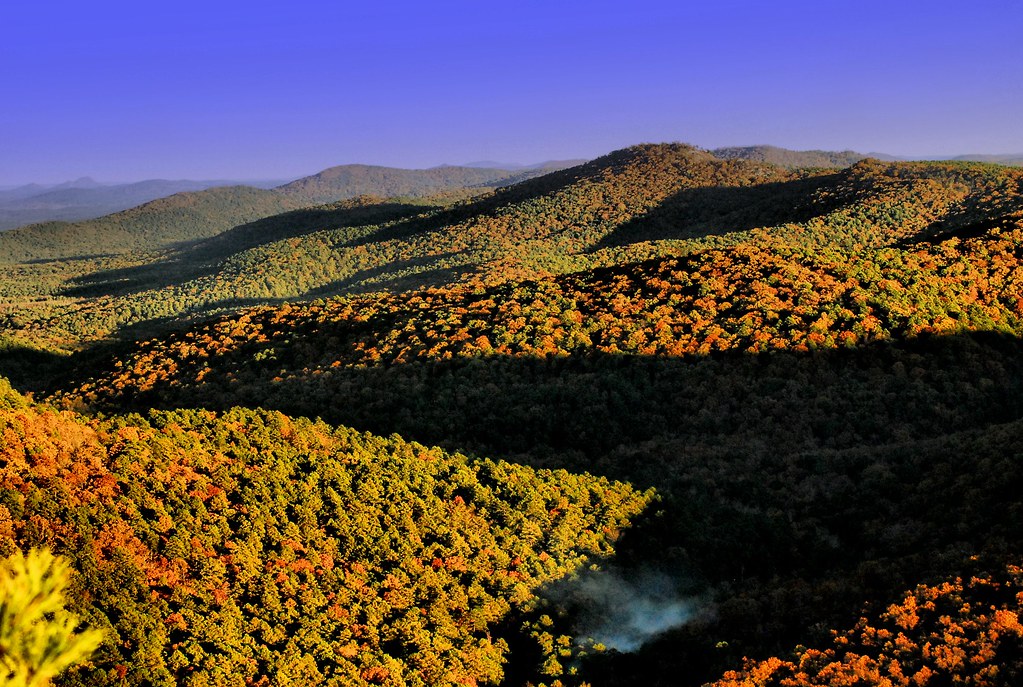
Ouachita National Forest Foliage
From the Hilton
Room with a view
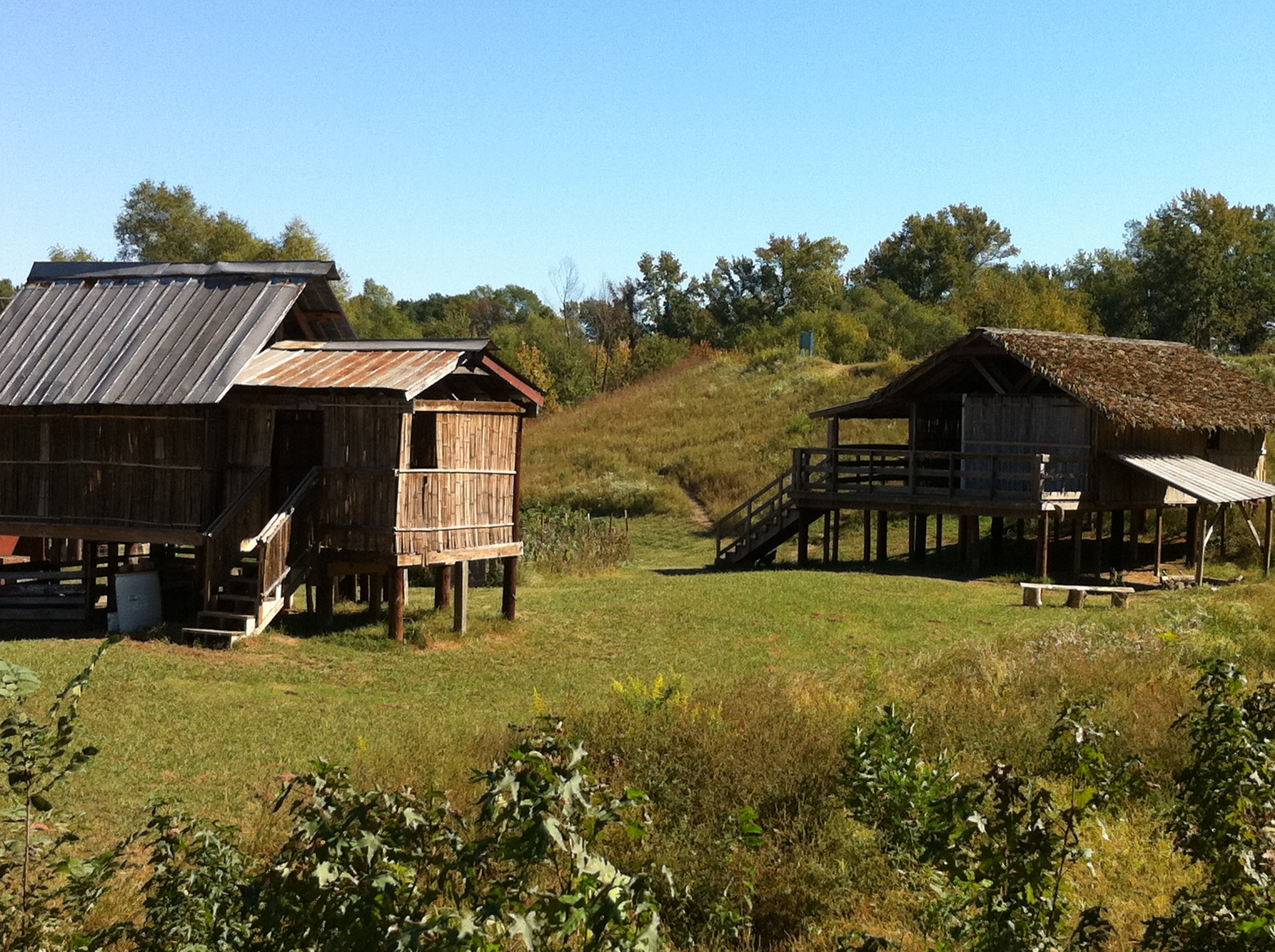
Thailand House

Fourche Lafave River-Side View
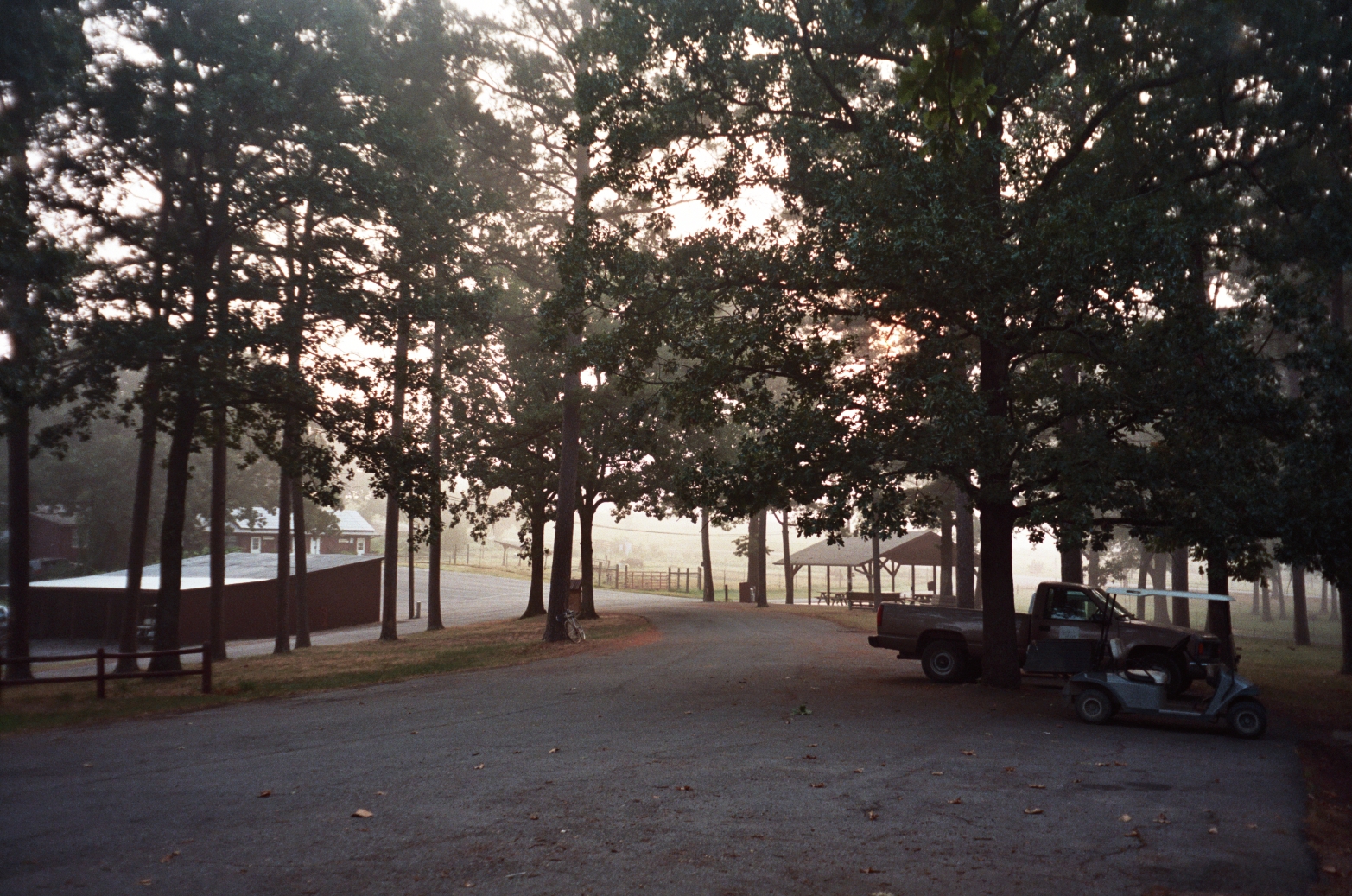
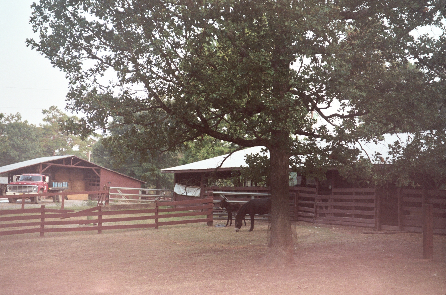
Ranch photo
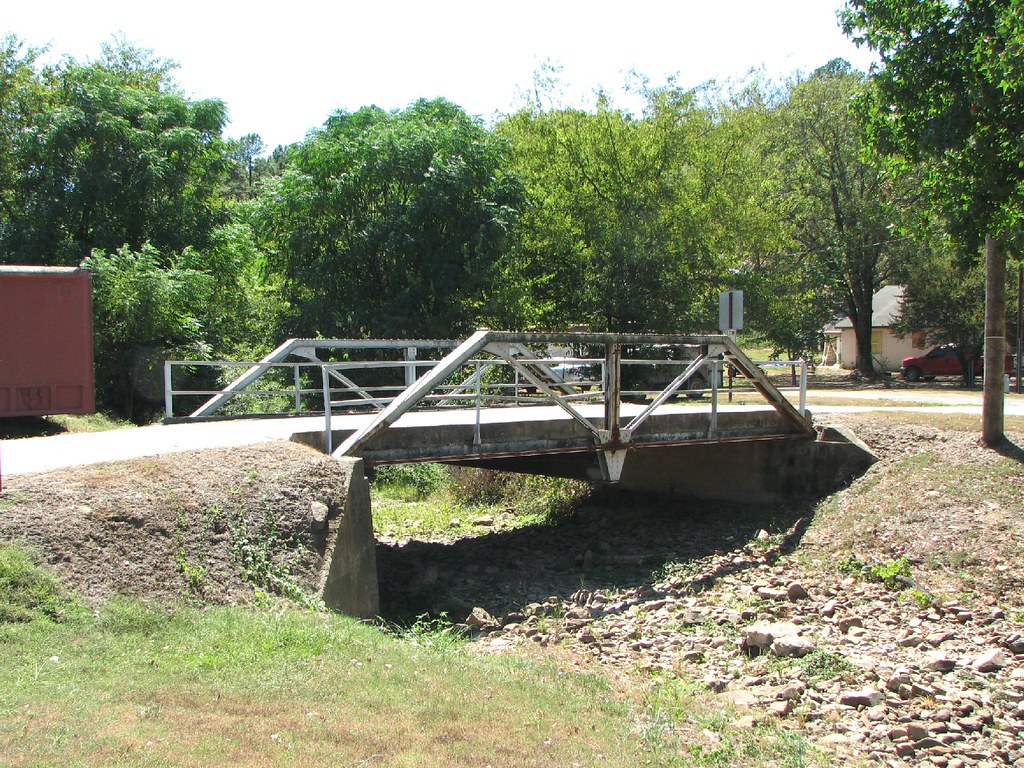
Haydon Branch-Side View

Harris Creek-Side View
View from Lake Sylvia

Forked Mountain Falls

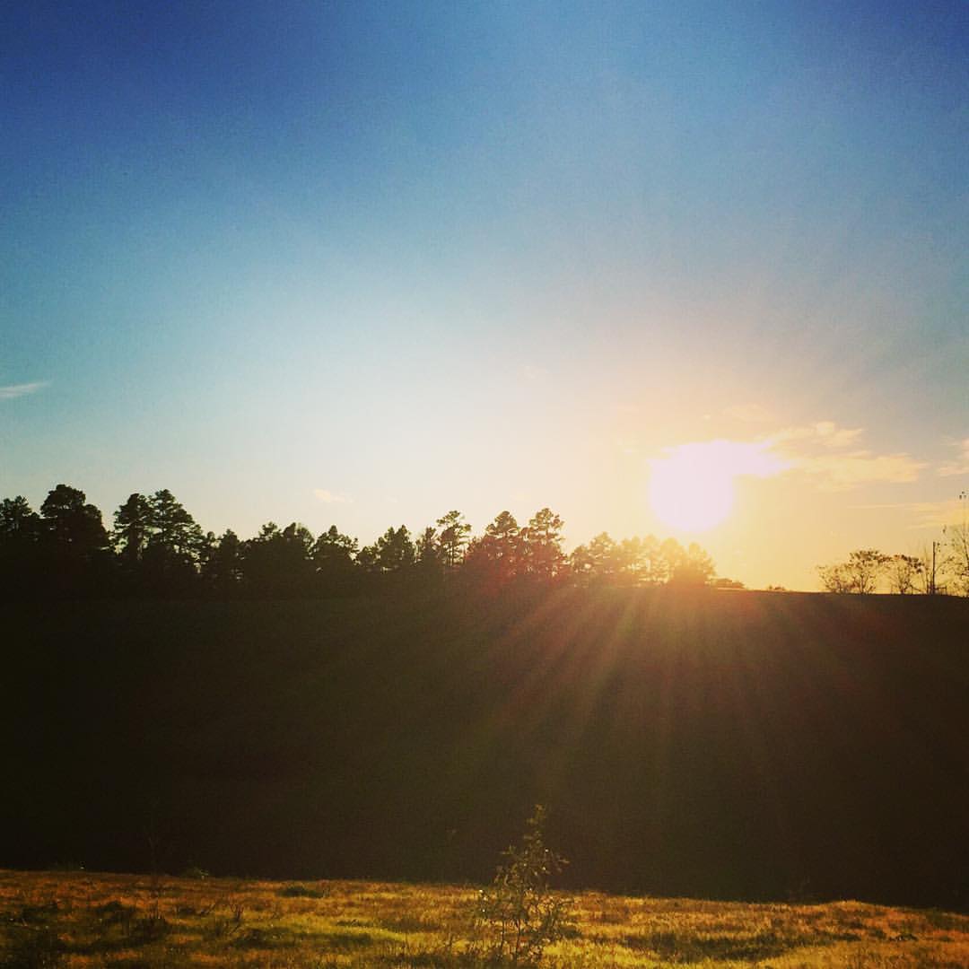
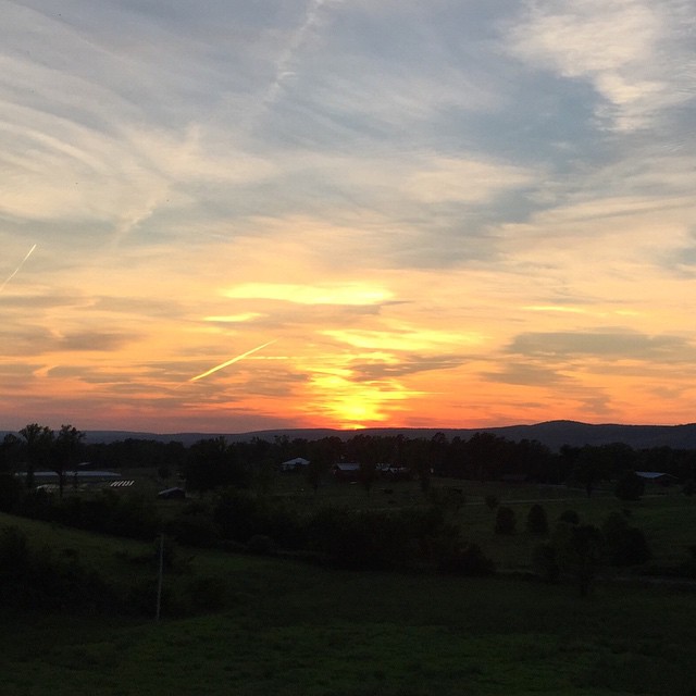
Thanksgiving Sunset
#love me some #perryville #sunsets in the #spring. #porch #hangingout #airplanes

Little Cedar Creek Falls
Partly Cloudy
Sunrise in the High Ouachitas
2013 11 14 Flatside Pinnacle 15_2
Quiet moments of solitude.

2013 11 14 Flatside Pinnacle 18b
Week 26 ~ Landscape: Simplify
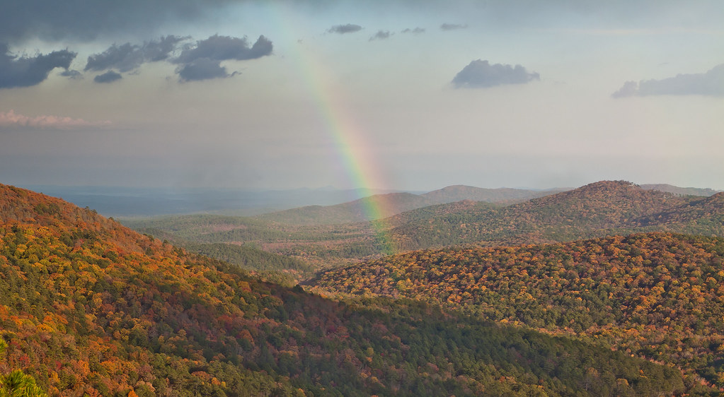
Flatside Rainbow
smoke in the valley
2013 11 1 Flatside Pinnacle 145b
2013 11 14 Flatside Pinnacle 15
untitled shoot-016-Edit-Edit.jpg
Mossy Trail

Woodwardia areolata
Topographic Map of Union Valley Rd, Perryville, AR, USA
Find elevation by address:

Places near Union Valley Rd, Perryville, AR, USA:
Perry County
Cherry Hill Township
Satuma Mountain Rd, Perryville, AR, USA
Flatside Wilderness
Maumelle Township
Aplin Township
AR-60, Perryville, AR, USA
Petit Jean Township
Adona
AR-10, Adona, AR, USA
4726 Ar-60
31 Brown Ln, Perryville, AR, USA
New Tennessee Township
Higgins Township
Blue Point Rd, Adona, AR, USA
AR-10, Casa, AR, USA
AR-60, Perryville, AR, USA
Martin Township
Petit Jean State Park
Petit Jean State Park Lake
Recent Searches:
- Elevation of Woodland Oak Pl, Thousand Oaks, CA, USA
- Elevation of Brownsdale Rd, Renfrew, PA, USA
- Elevation of Corcoran Ln, Suffolk, VA, USA
- Elevation of Mamala II, Sariaya, Quezon, Philippines
- Elevation of Sarangdanda, Nepal
- Elevation of 7 Waterfall Way, Tomball, TX, USA
- Elevation of SW 57th Ave, Portland, OR, USA
- Elevation of Crocker Dr, Vacaville, CA, USA
- Elevation of Pu Ngaol Community Meeting Hall, HWHM+3X7, Krong Saen Monourom, Cambodia
- Elevation of Royal Ontario Museum, Queens Park, Toronto, ON M5S 2C6, Canada