Elevation of Aplin Township, AR, USA
Location: United States > Arkansas > Perry County >
Longitude: -92.967557
Latitude: 34.9696511
Elevation: 96m / 315feet
Barometric Pressure: 100KPa
Elevation Map:
Satellite Map:
Related Photos:
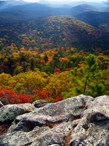
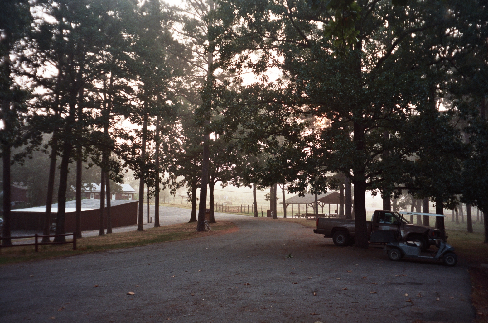
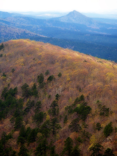
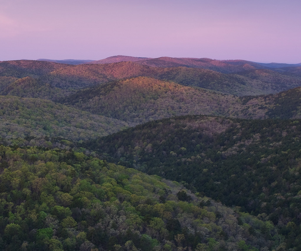
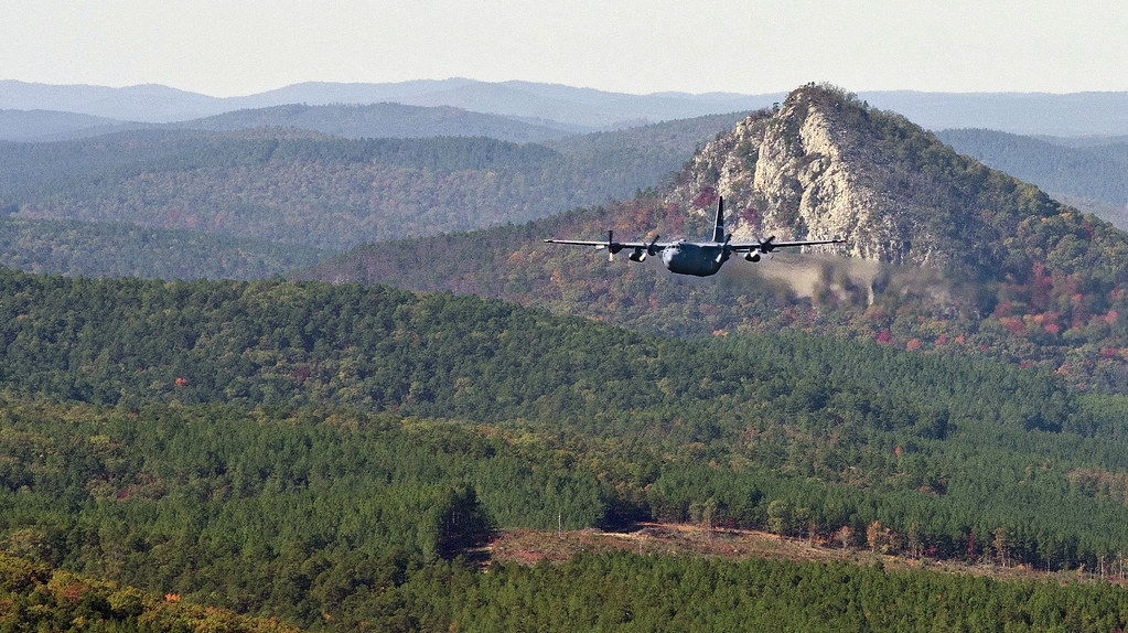
Flatside Pinnacle
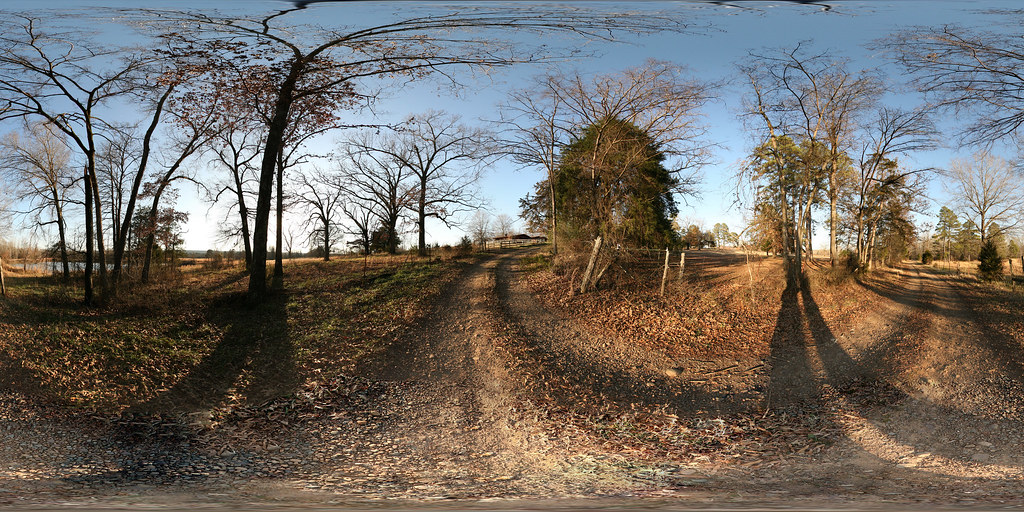
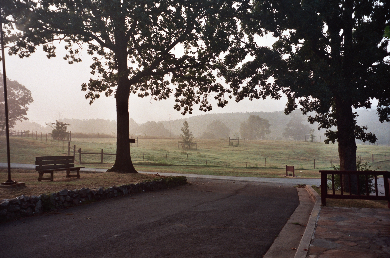
2009 01-01 Spherical Photographs in Nimrod, Arkansas
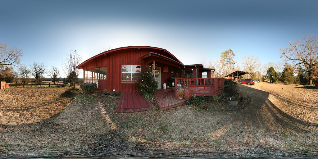
2009 01-01 Spherical Photographs in Nimrod, Arkansas

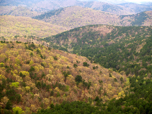
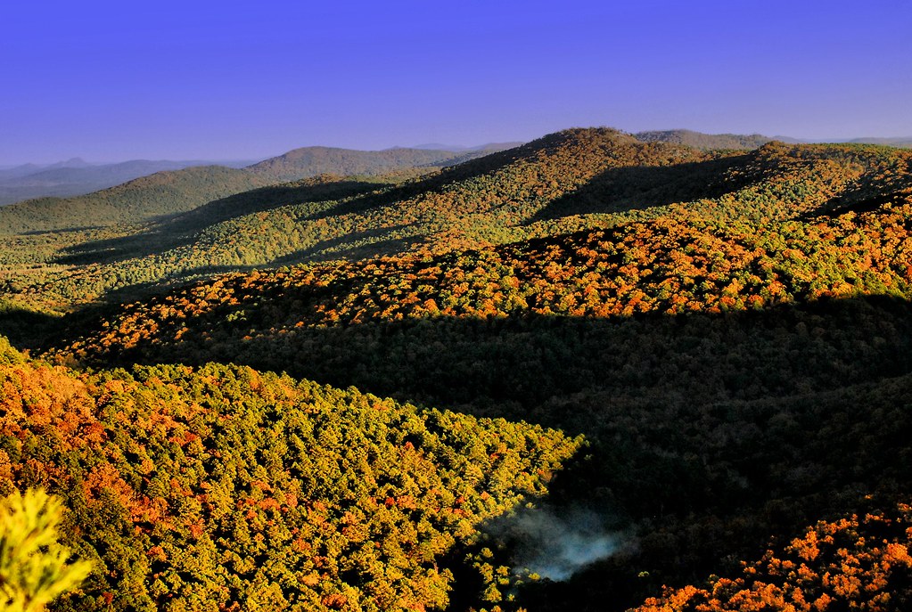
Ouachita National Forest Foliage

Hillary & Gobi
Going Green
From the Hilton
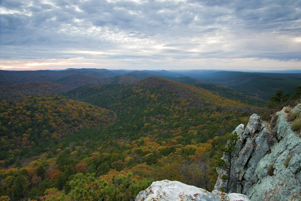
View from Flatside

2009 01-01 Spherical Photographs in Nimrod, Arkansas
Room with a view
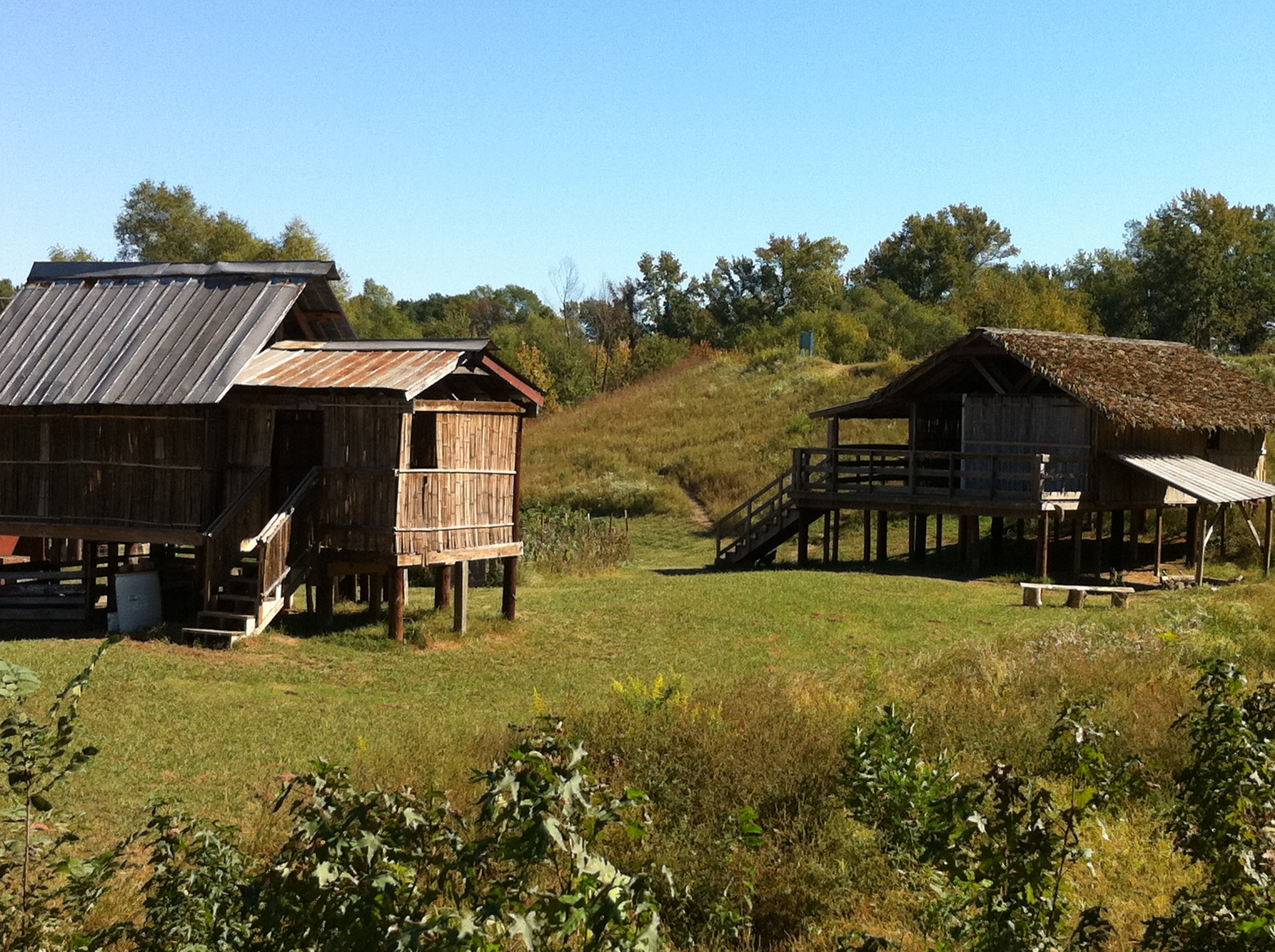
Thailand House

Fourche Lafave River-Side View

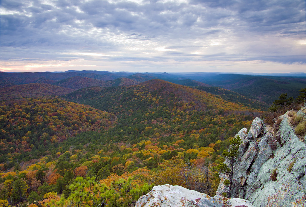
Flatside Wilderness
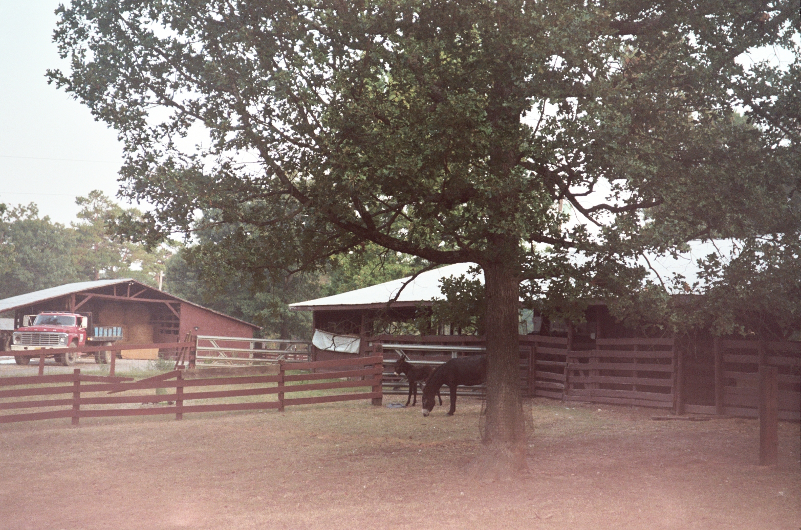
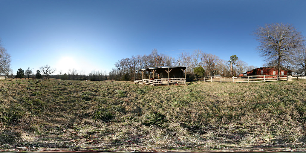
Ranch photo
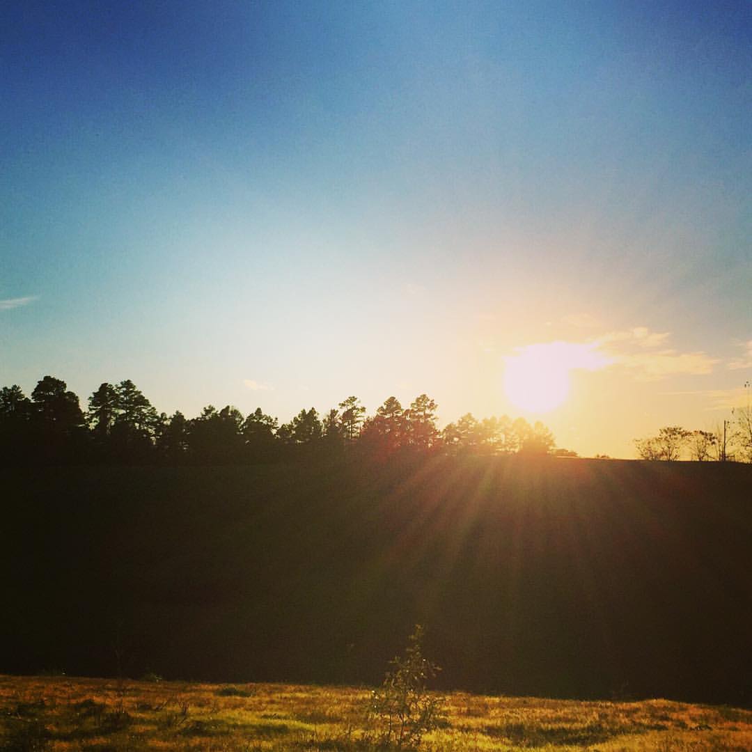
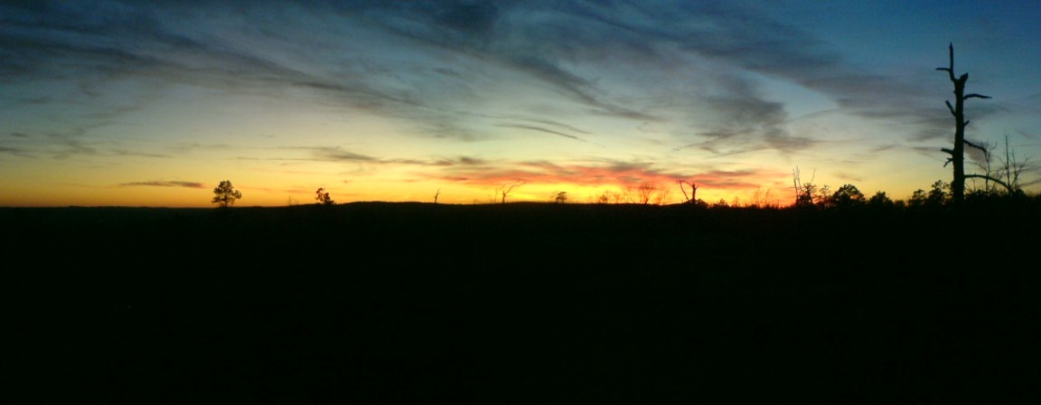
#everyday #sunset in #myworld #sunset #sunrise #sun #TagsForLikes.com #TFLers #pretty #beautiful #red #orange #pink #sky #skyporn #cloudporn #nature #clouds #horizon #photooftheday #instagood #gorgeous #warm #view #night #silhouette #instasky #all_sunset
2009 01-01 Spherical Photographs in Nimrod, Arkansas
2009 01-01 Spherical Photographs in Nimrod, Arkansas

Forked Mountain Falls
Sunrise in the High Ouachitas
2013 11 14 Flatside Pinnacle 15_2
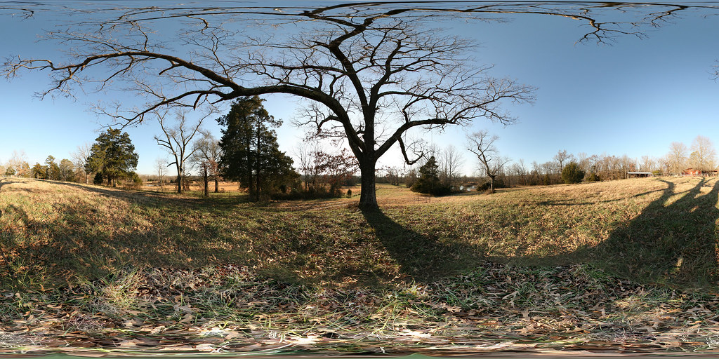
Quiet moments of solitude.

2013 11 14 Flatside Pinnacle 18b

Thanksgiving Sunset
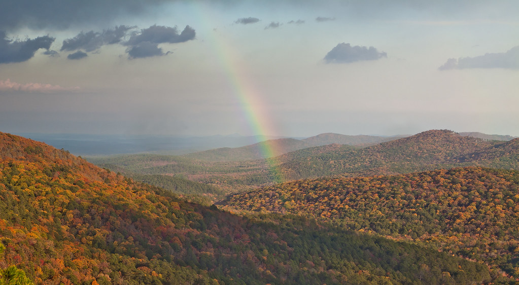
Flatside Rainbow
2013 11 1 Flatside Pinnacle 145b
smoke in the valley
2013 11 14 Flatside Pinnacle 15
Petit Jean State Park, Arkansas

Cedar Falls
Seven Hollows Trail at sunset. Petit Jean State Park
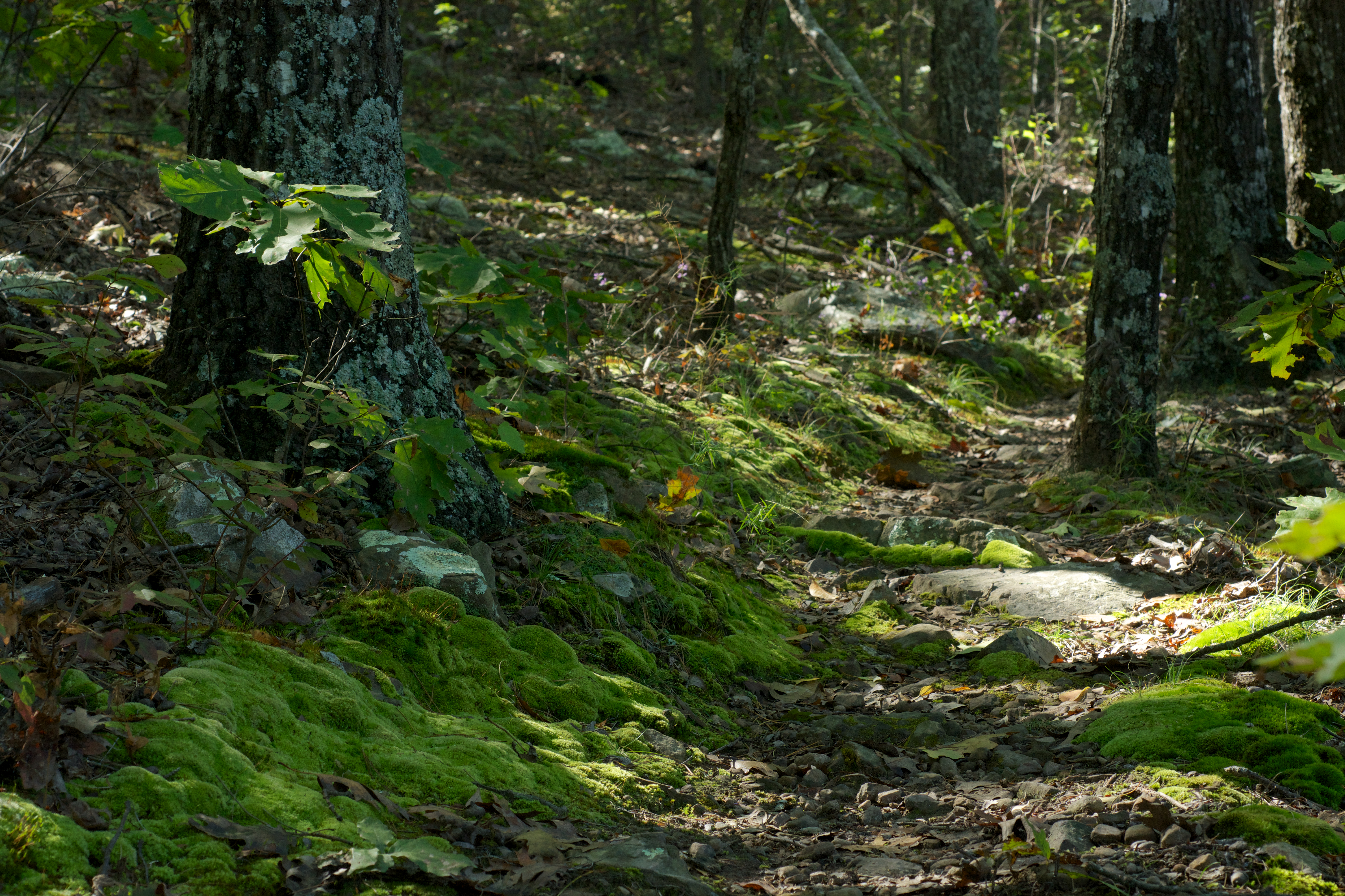
Mossy Trail
Topographic Map of Aplin Township, AR, USA
Find elevation by address:

Places in Aplin Township, AR, USA:
Places near Aplin Township, AR, USA:
AR-60, Perryville, AR, USA
4726 Ar-60
31 Brown Ln, Perryville, AR, USA
Perry County
New Tennessee Township
Union Valley Rd, Perryville, AR, USA
Cherry Hill Township
Petit Jean Township
AR-10, Casa, AR, USA
Adona
AR-10, Adona, AR, USA
Flatside Wilderness
AR-60, Perryville, AR, USA
Satuma Mountain Rd, Perryville, AR, USA
Maumelle Township
Turtle Rocks
Higgins Township
Petit Jean State Park
Petit Jean State Park Lake
47 Yeager Dr, Morrilton, AR, USA
Recent Searches:
- Elevation of Corso Fratelli Cairoli, 35, Macerata MC, Italy
- Elevation of Tallevast Rd, Sarasota, FL, USA
- Elevation of 4th St E, Sonoma, CA, USA
- Elevation of Black Hollow Rd, Pennsdale, PA, USA
- Elevation of Oakland Ave, Williamsport, PA, USA
- Elevation of Pedrógão Grande, Portugal
- Elevation of Klee Dr, Martinsburg, WV, USA
- Elevation of Via Roma, Pieranica CR, Italy
- Elevation of Tavkvetili Mountain, Georgia
- Elevation of Hartfords Bluff Cir, Mt Pleasant, SC, USA