Elevation of Union Township, IN, USA
Location: United States > Indiana > Whitley County >
Longitude: -85.375624
Latitude: 41.1280124
Elevation: 261m / 856feet
Barometric Pressure: 98KPa
Elevation Map:
Satellite Map:
Related Photos:

Morning Sky

Arturia Origin Keyboard
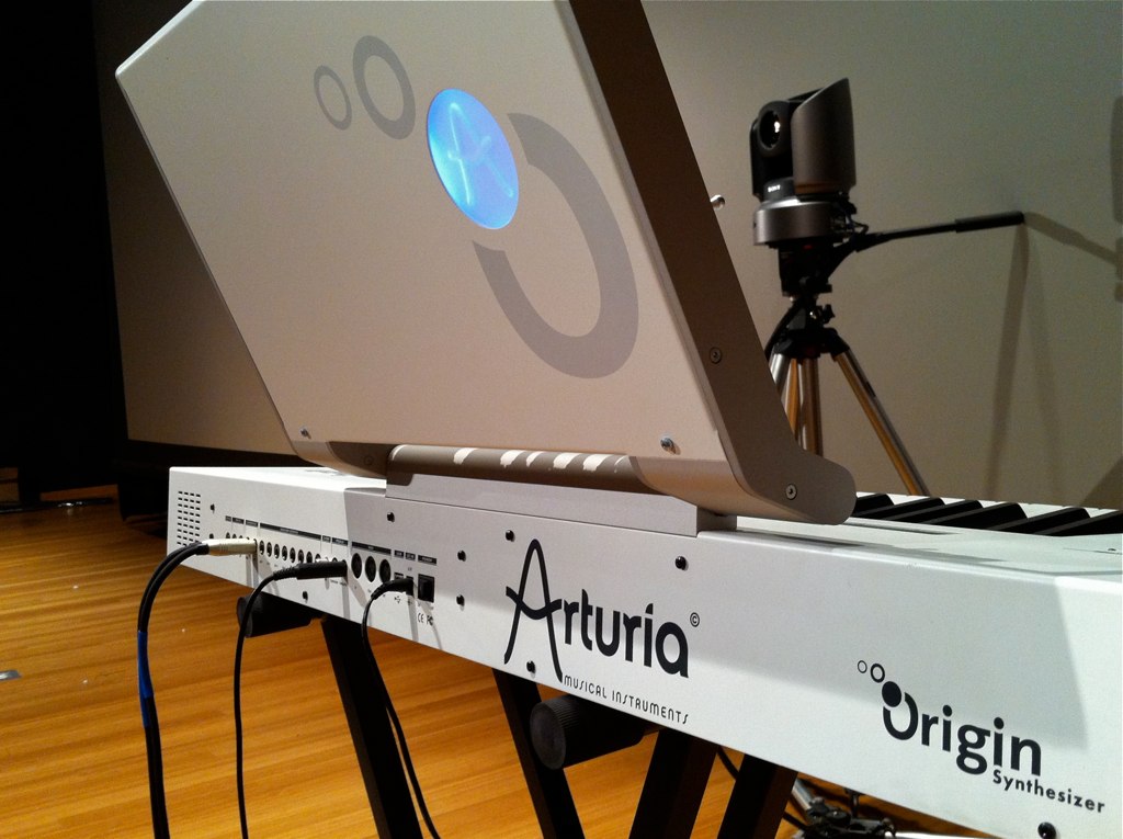
Arturia Origin Keyboard
How thin?
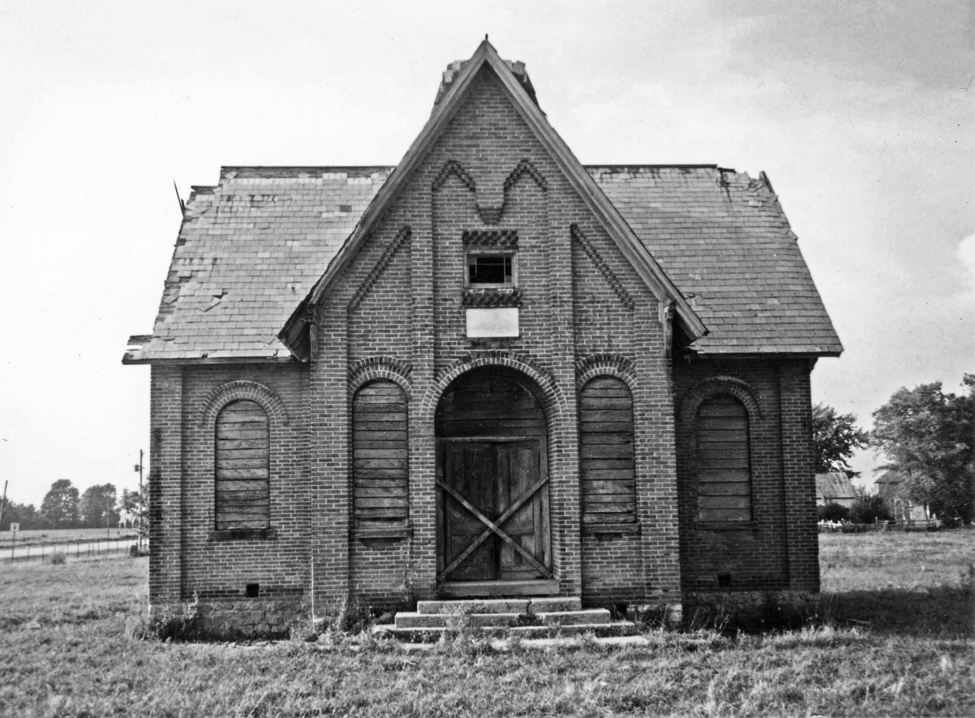
Whitley County Shoolhouse

Indiana Hay Bales
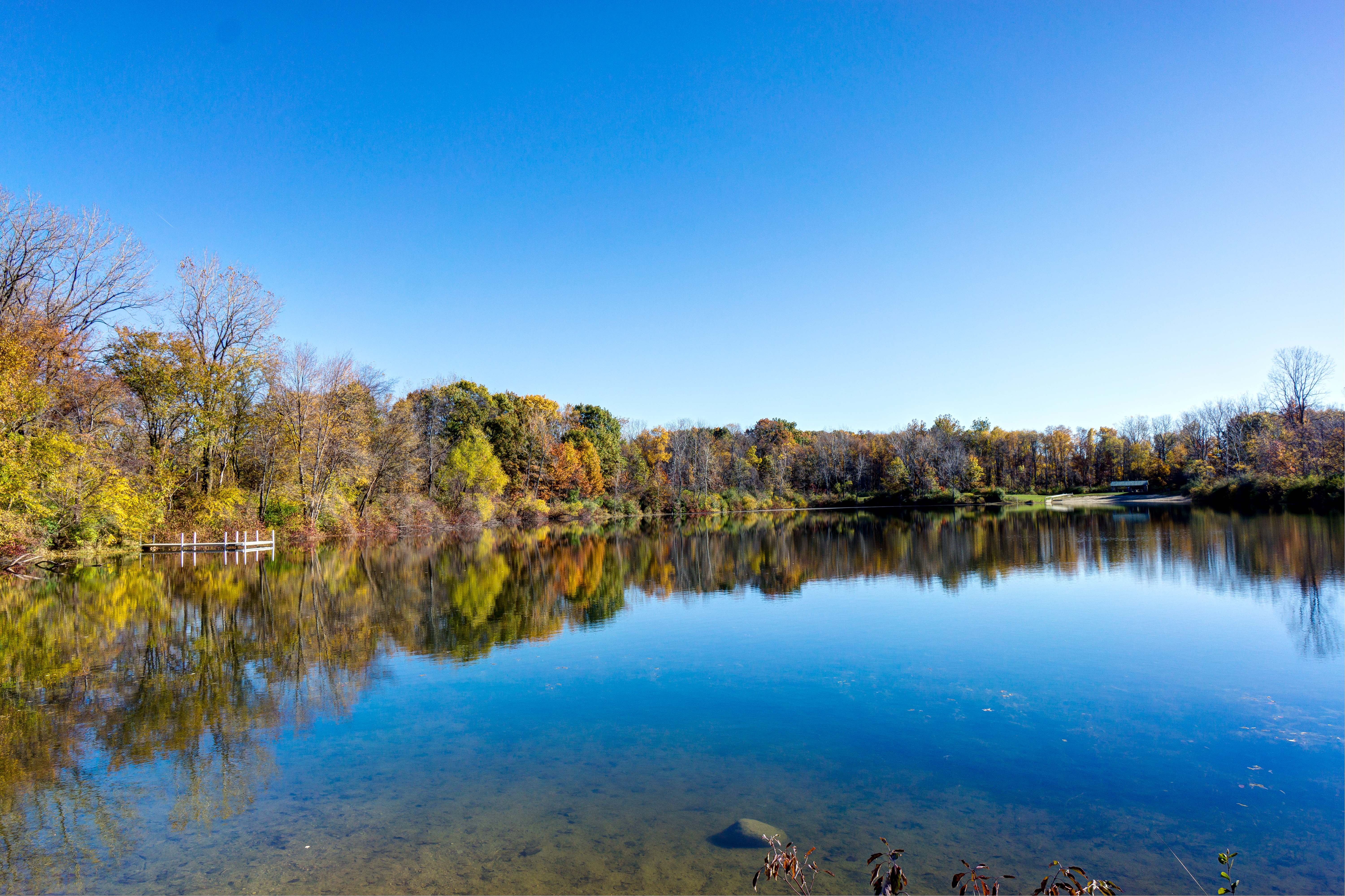
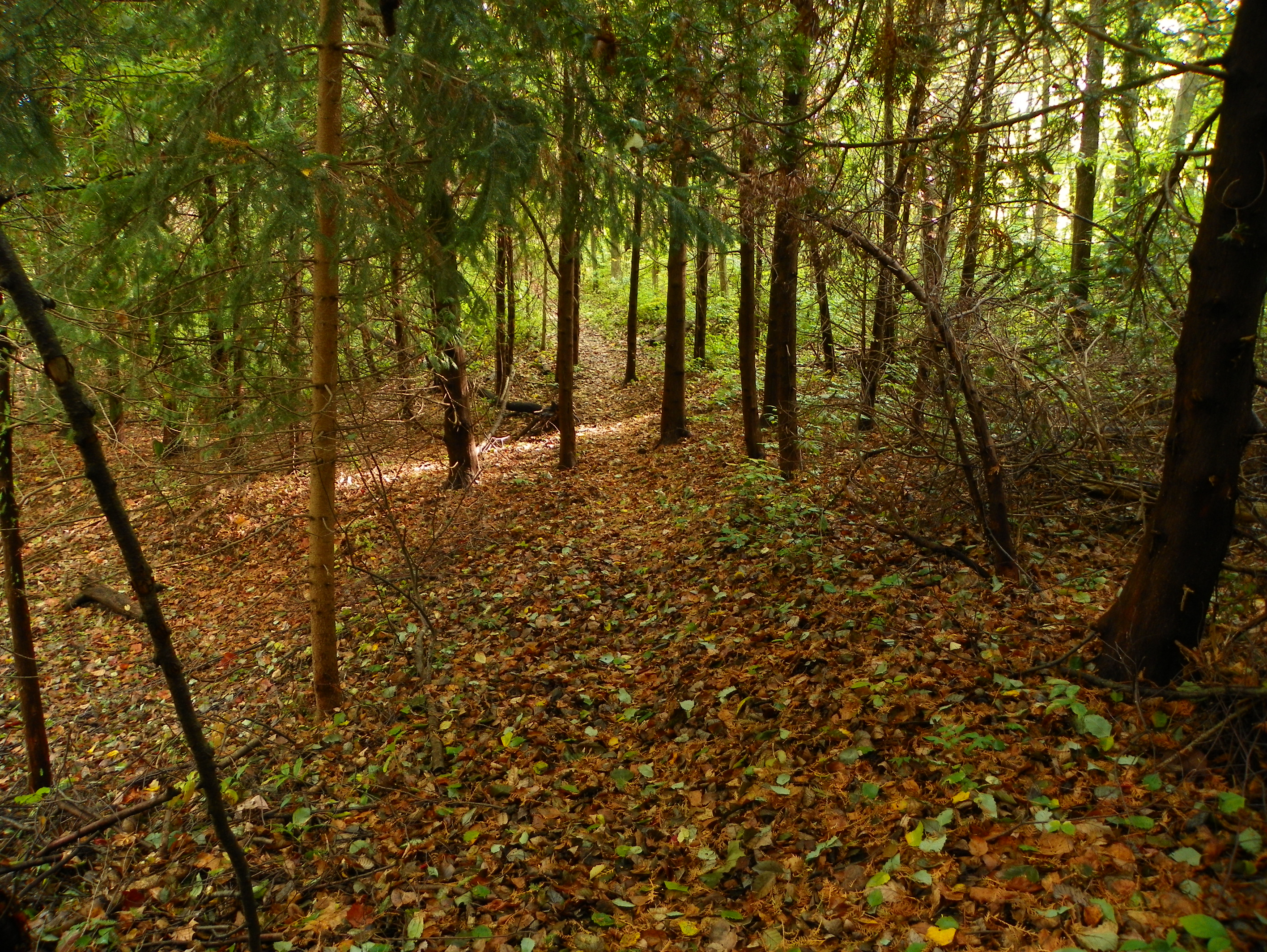
Fox Island County Park, Fort Wayne IN
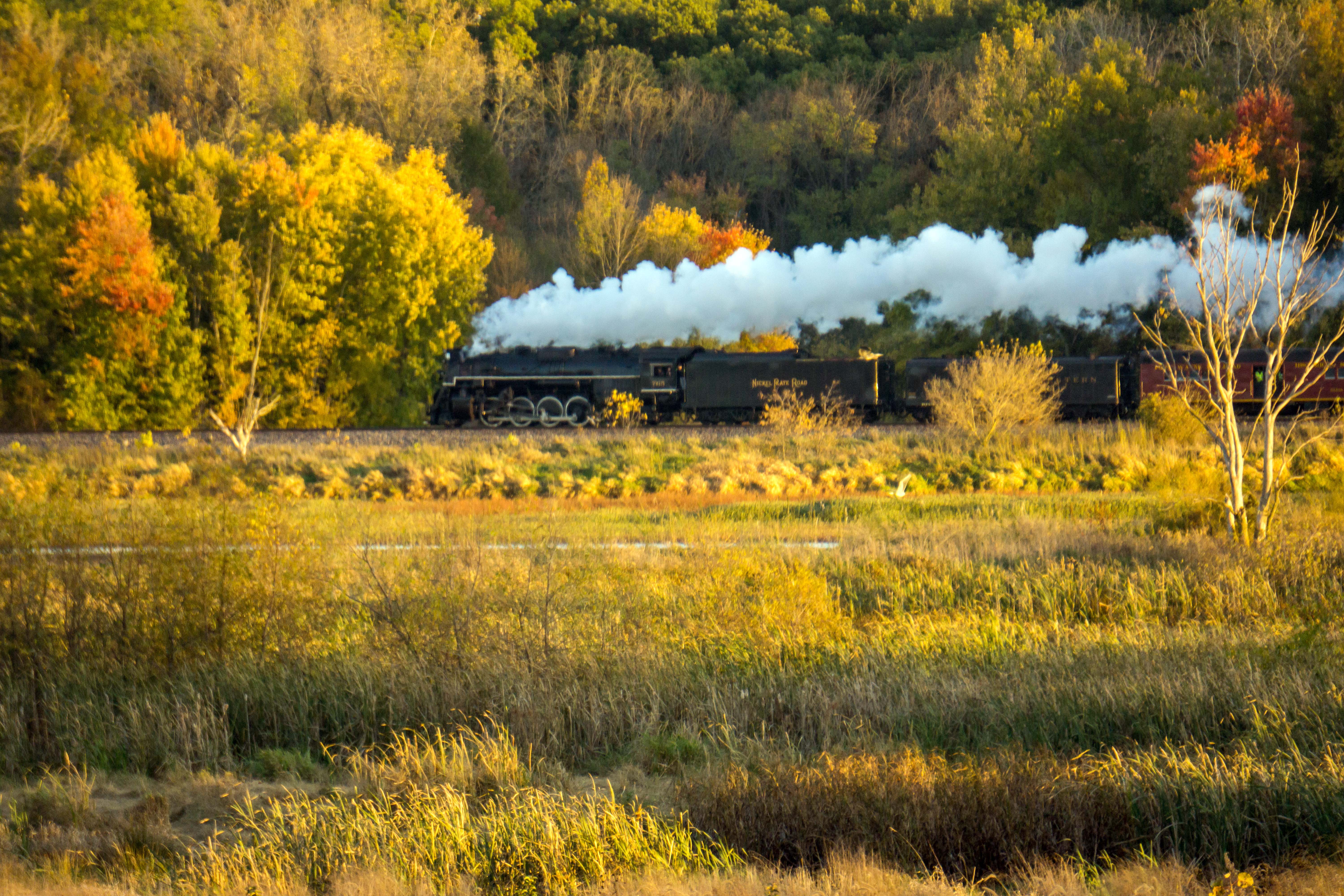
NKP 765, Eastbound, Fort Wayne IN
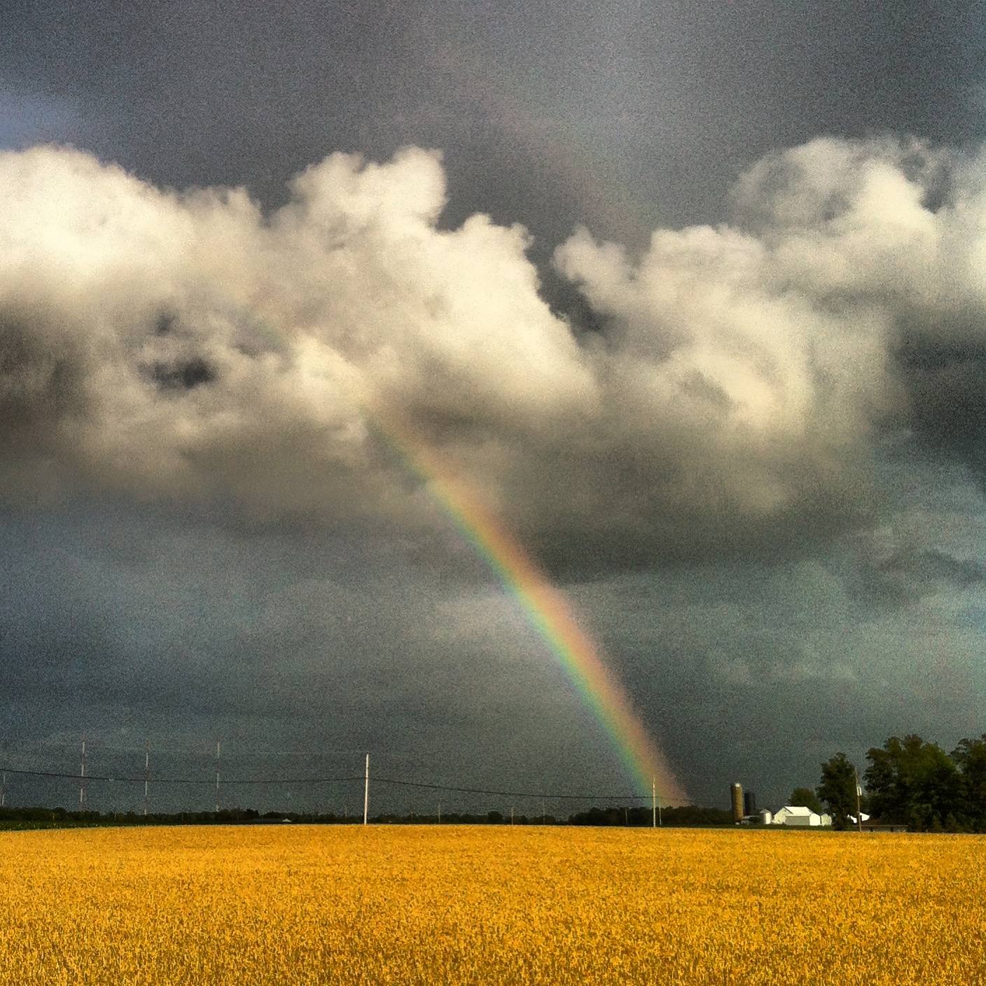
Remember Sunshine?
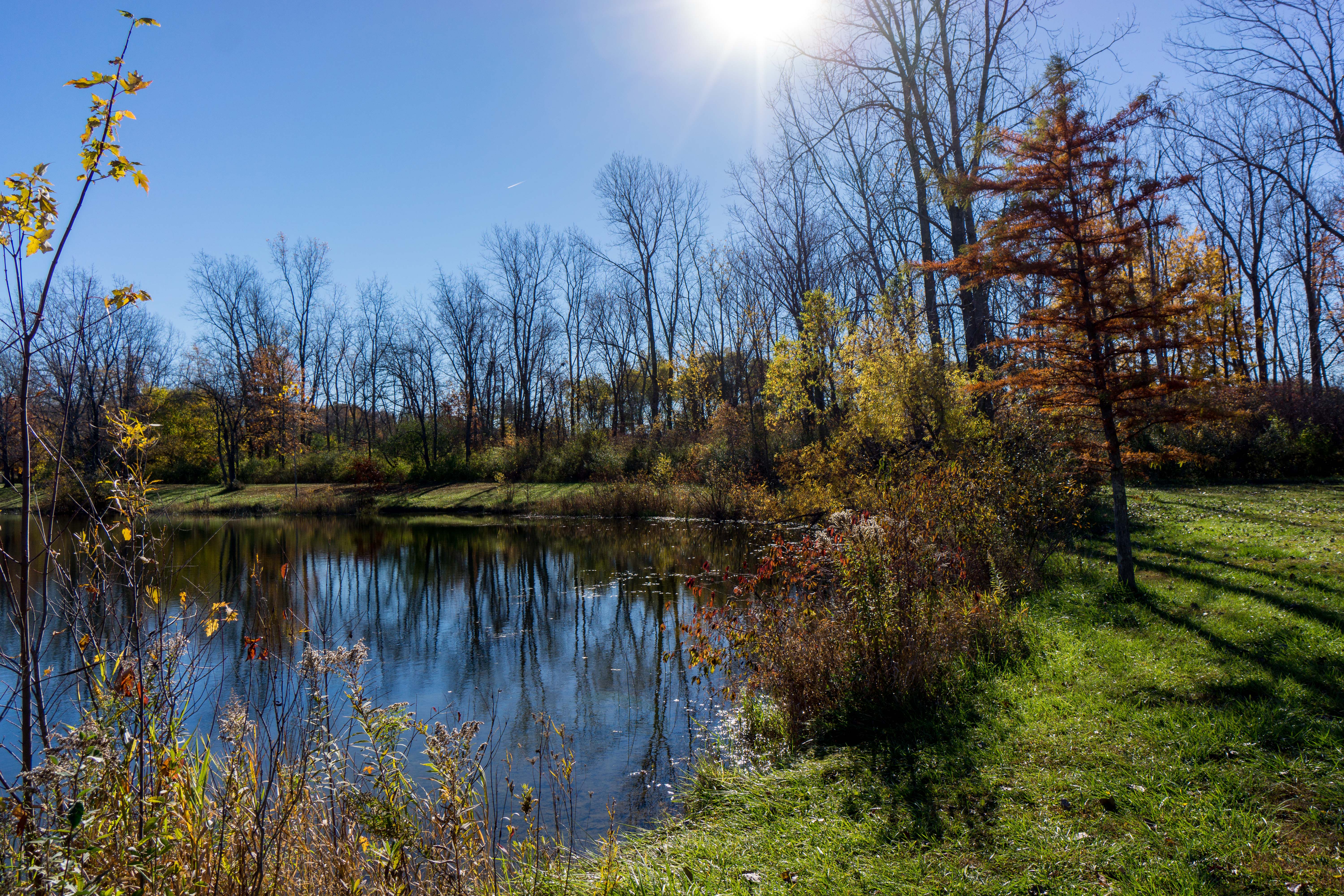
Fox Island County Park, Fort Wayne IN
2013 - August
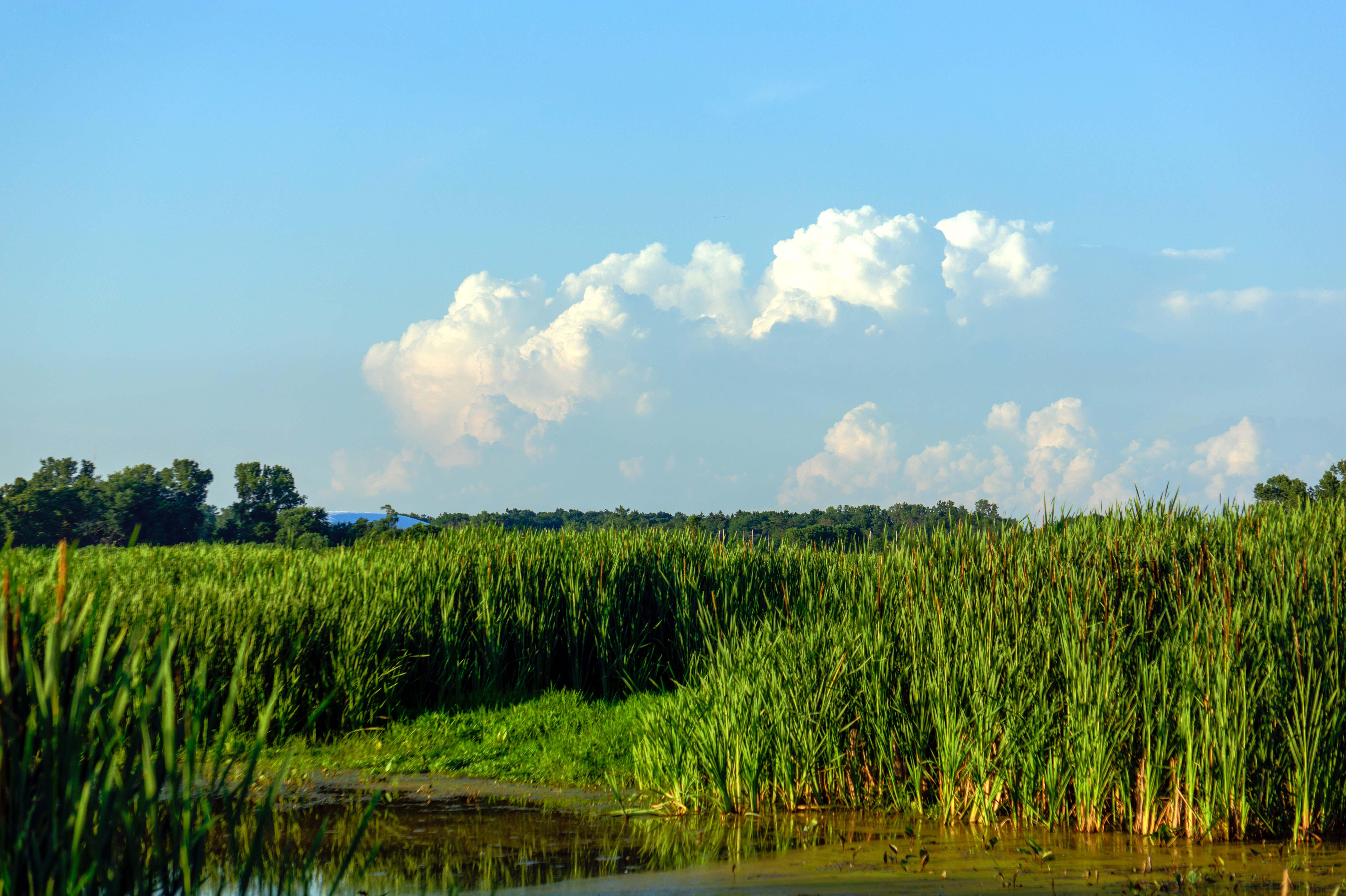
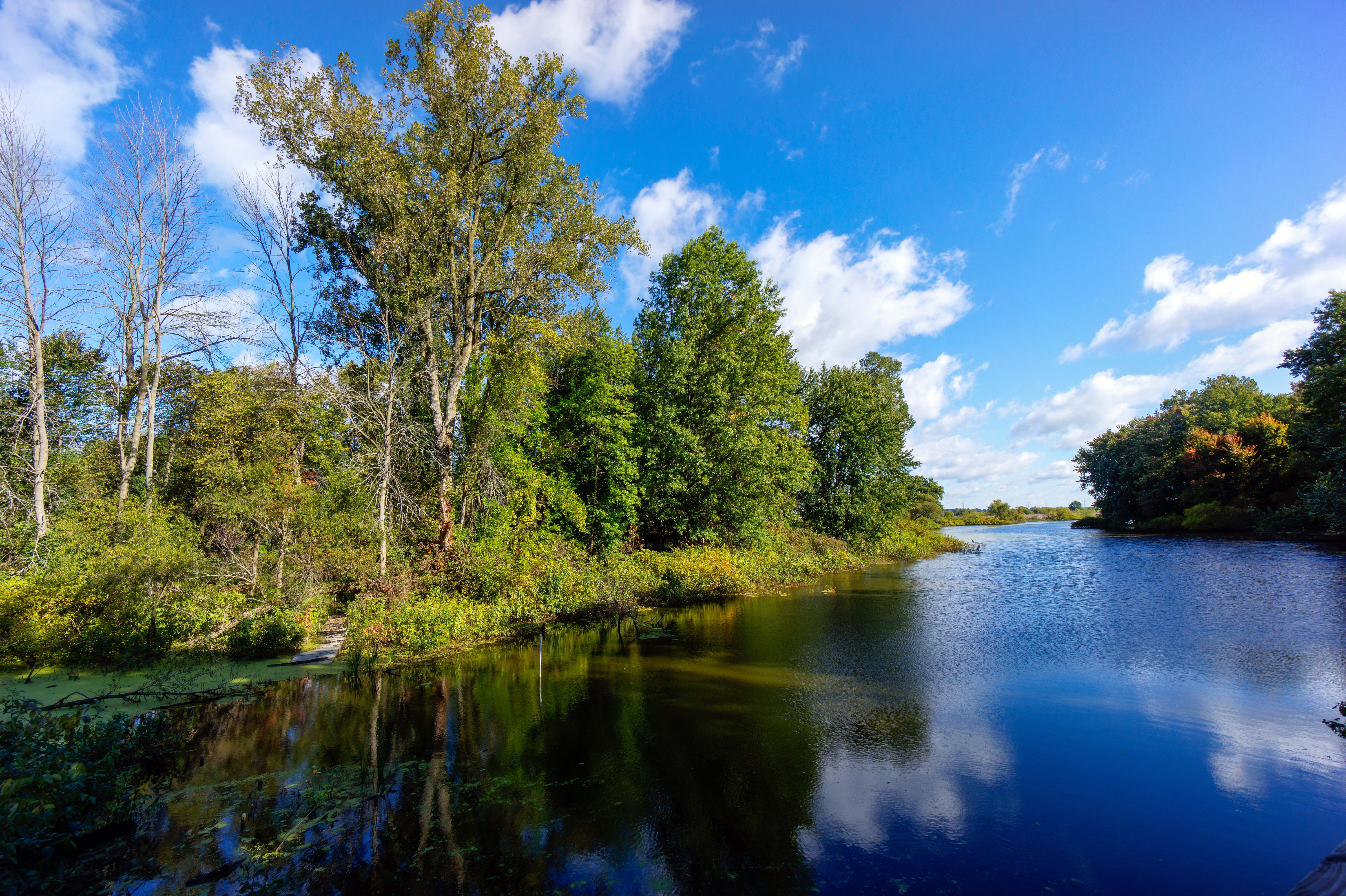
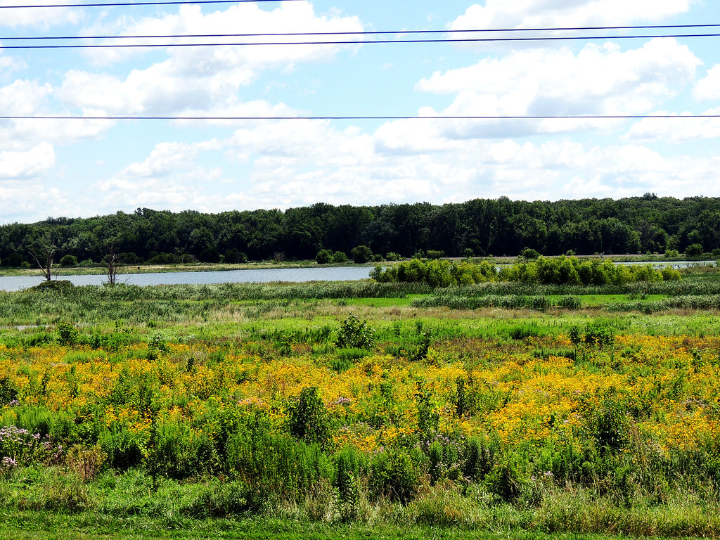
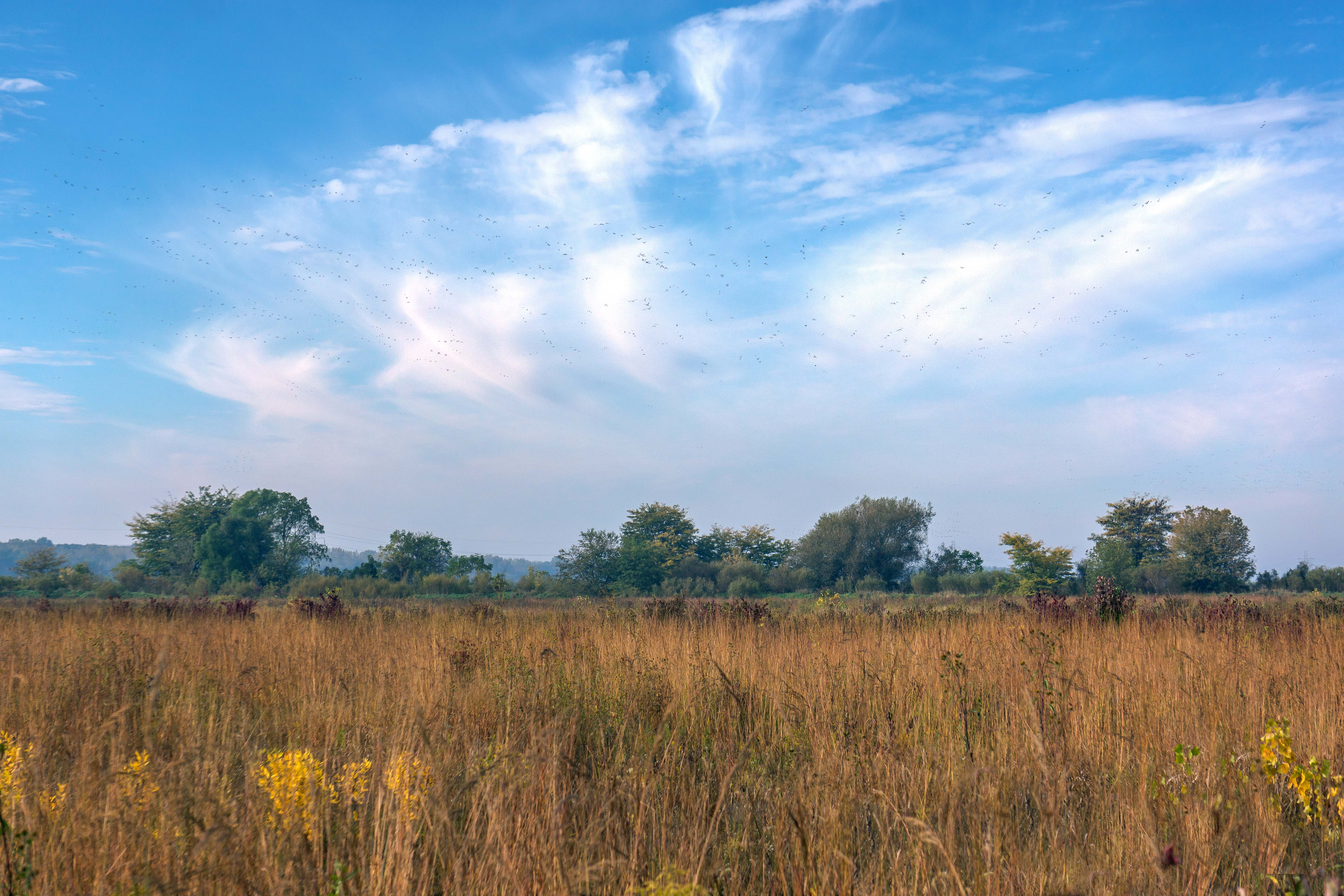
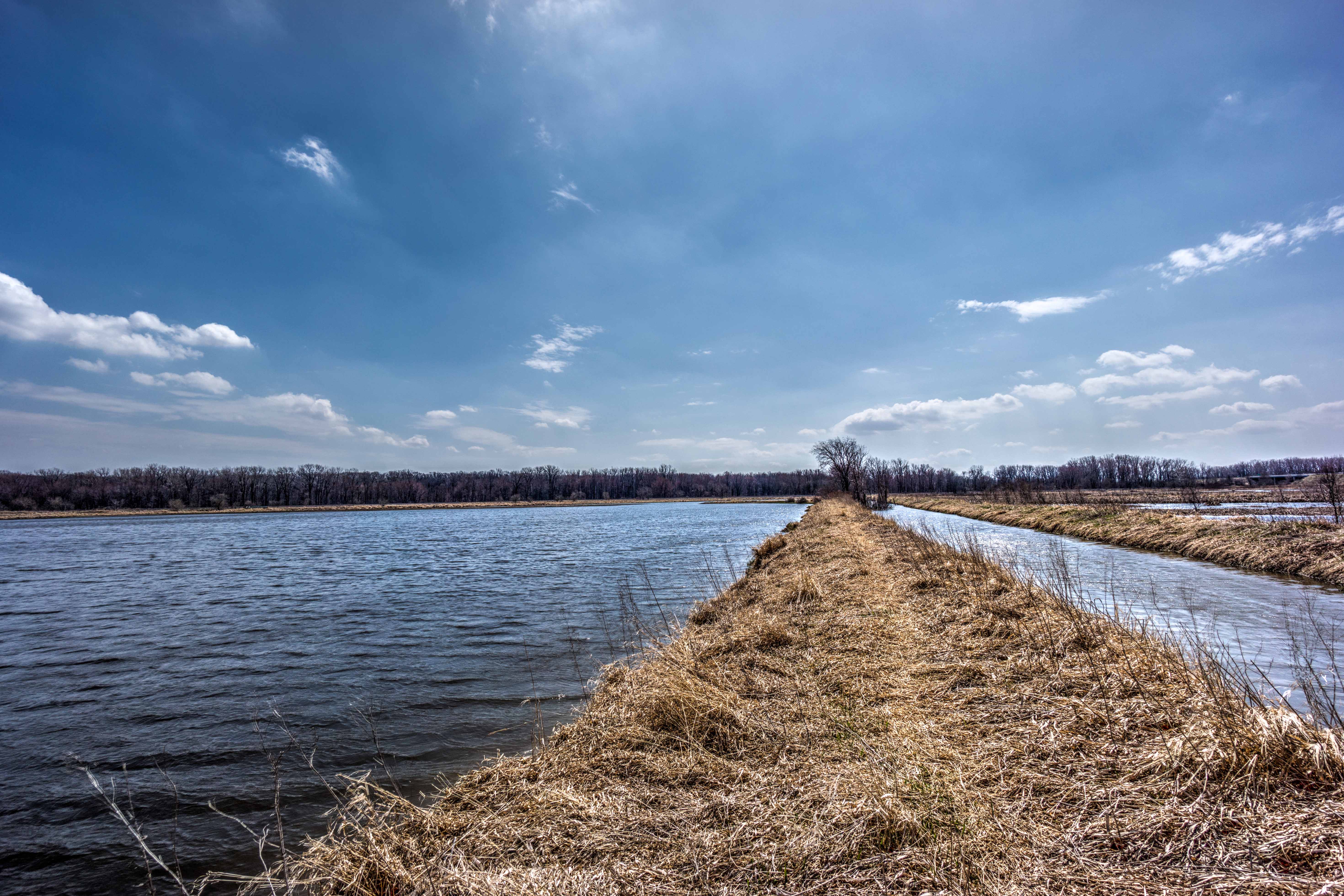
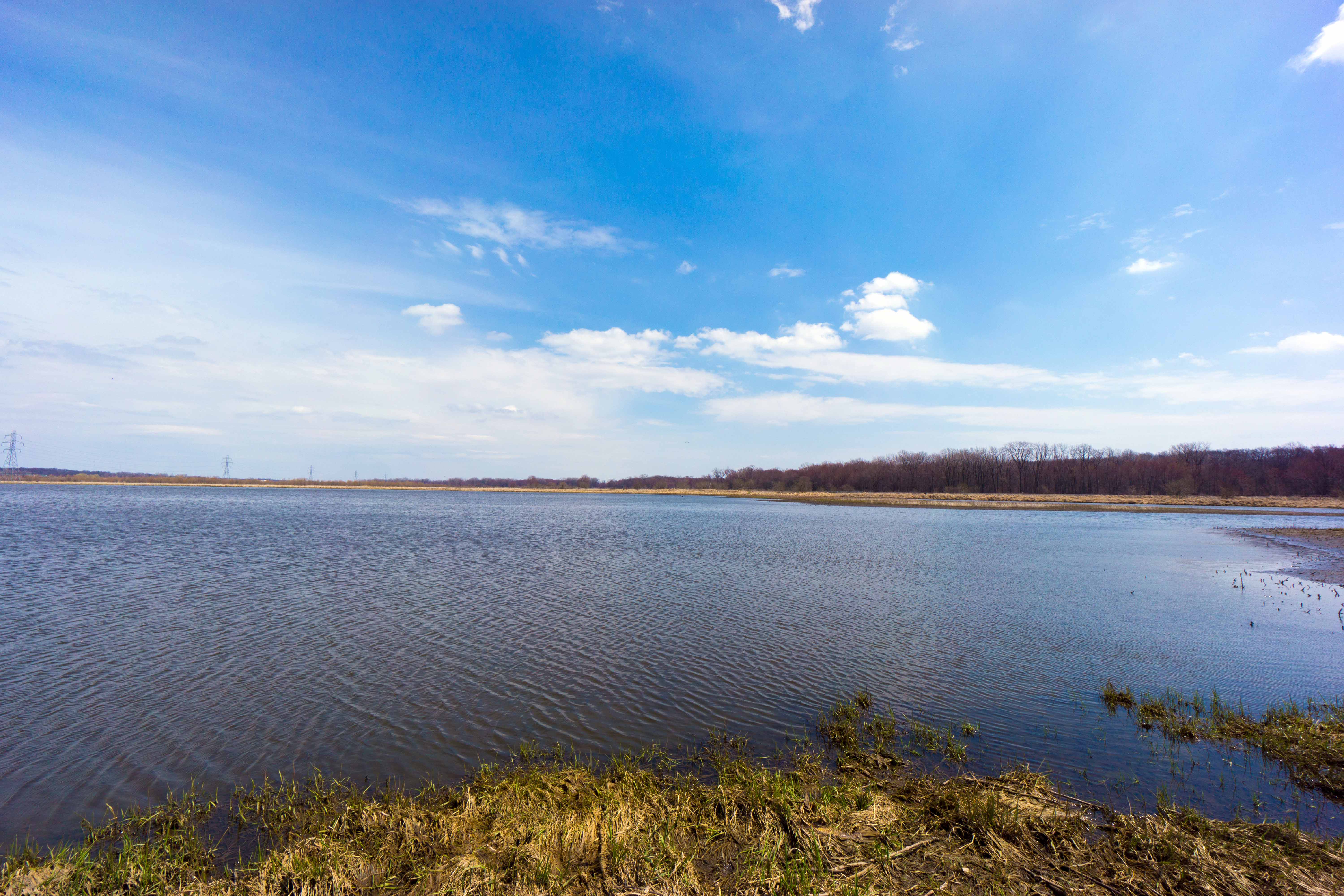
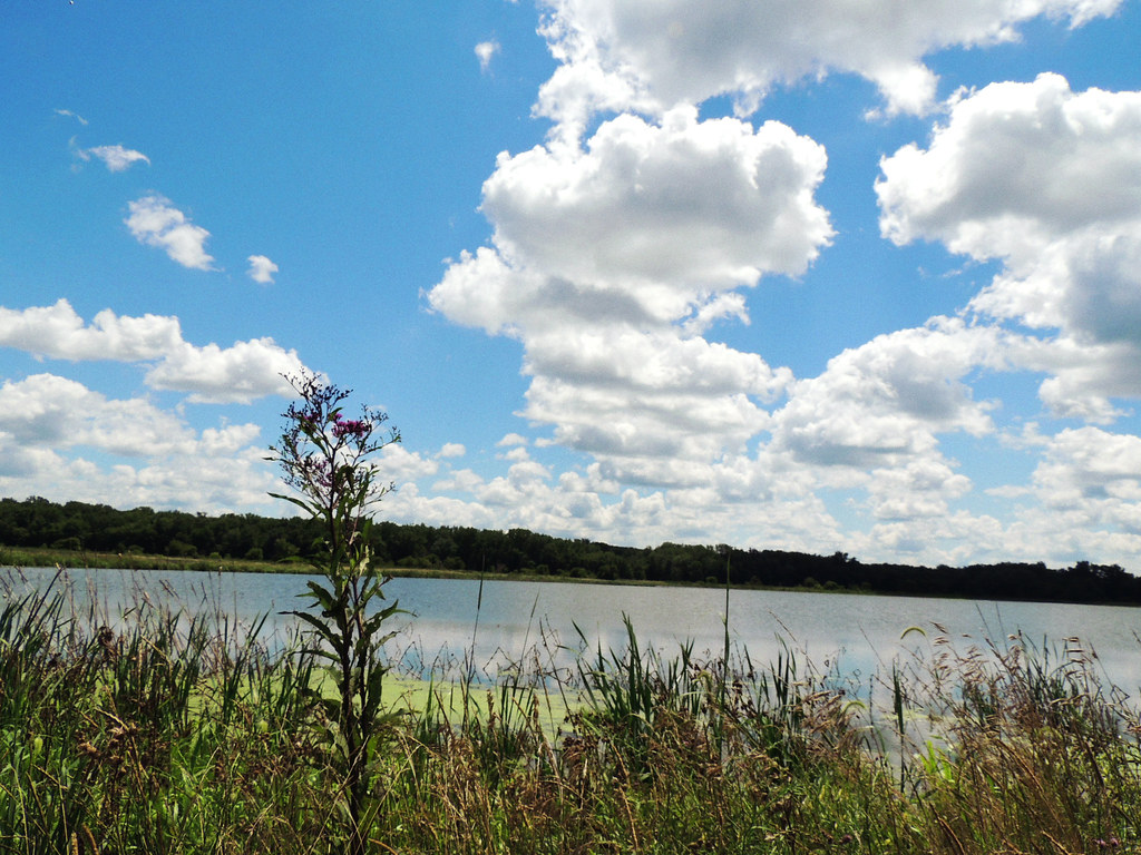
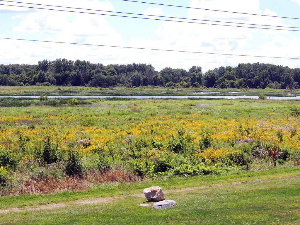
Eagle Marsh, Fort Wayne IN
Iphone pics 288

Eagle Marsh, Fort Wayne IN
2013 - August
Eagle Marsh, Fort Wayne IN

2013 - August
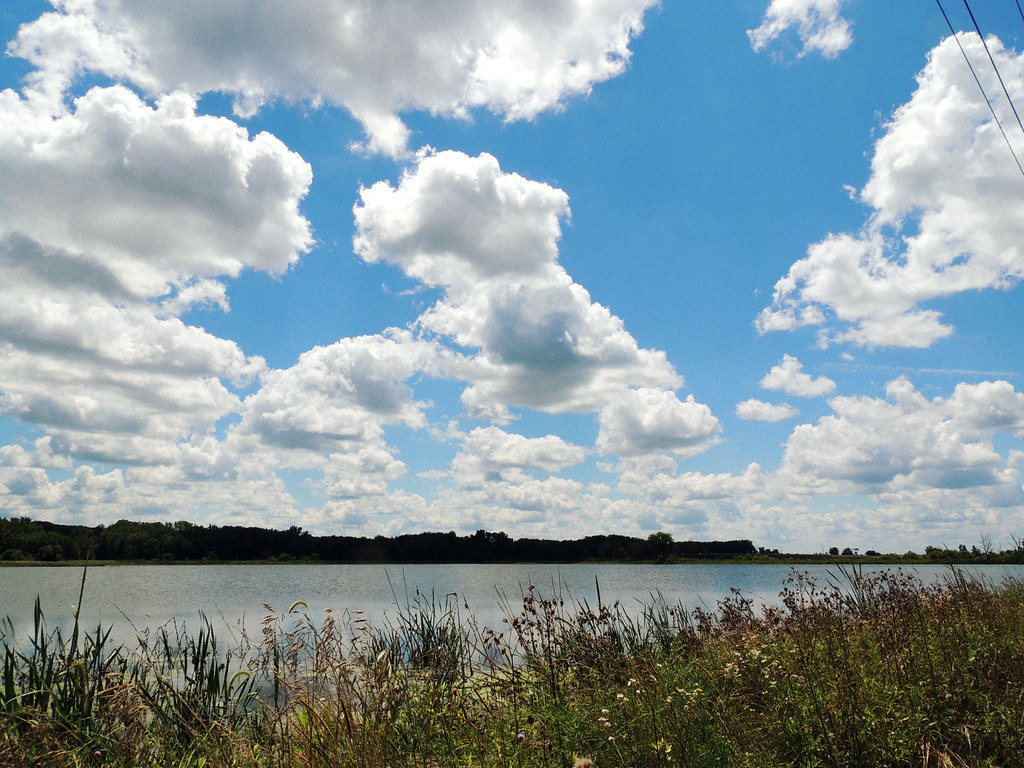
Eagle Marsh, Fort Wayne IN

Eagle Marsh, Fort Wayne IN
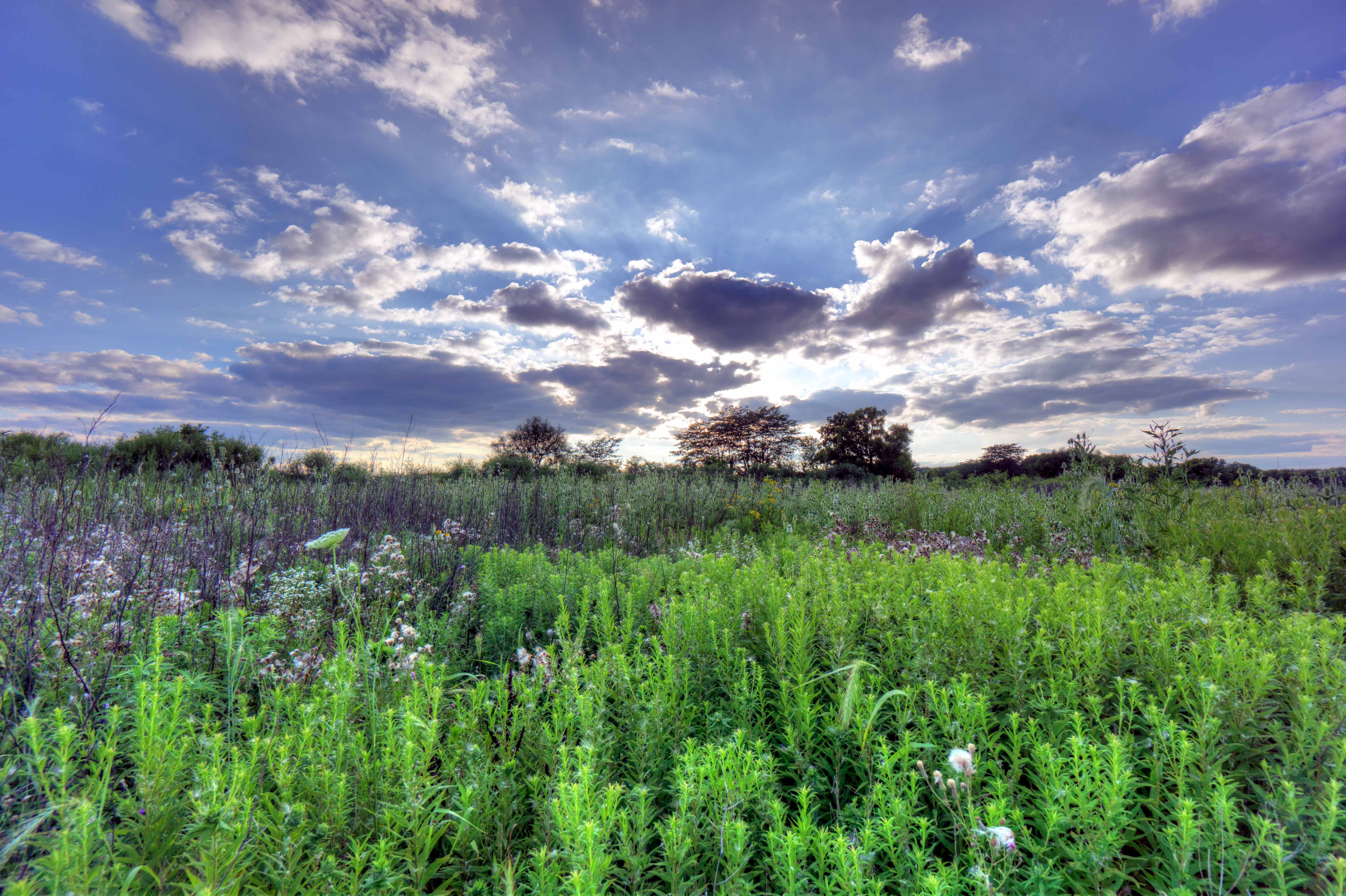
Little Wabash Nature Preserve
Eagle Marsh, Fort Wayne IN

Eagle Marsh, Fort Wayne IN
Eagle Marsh, Fort Wayne IN
2013 - August
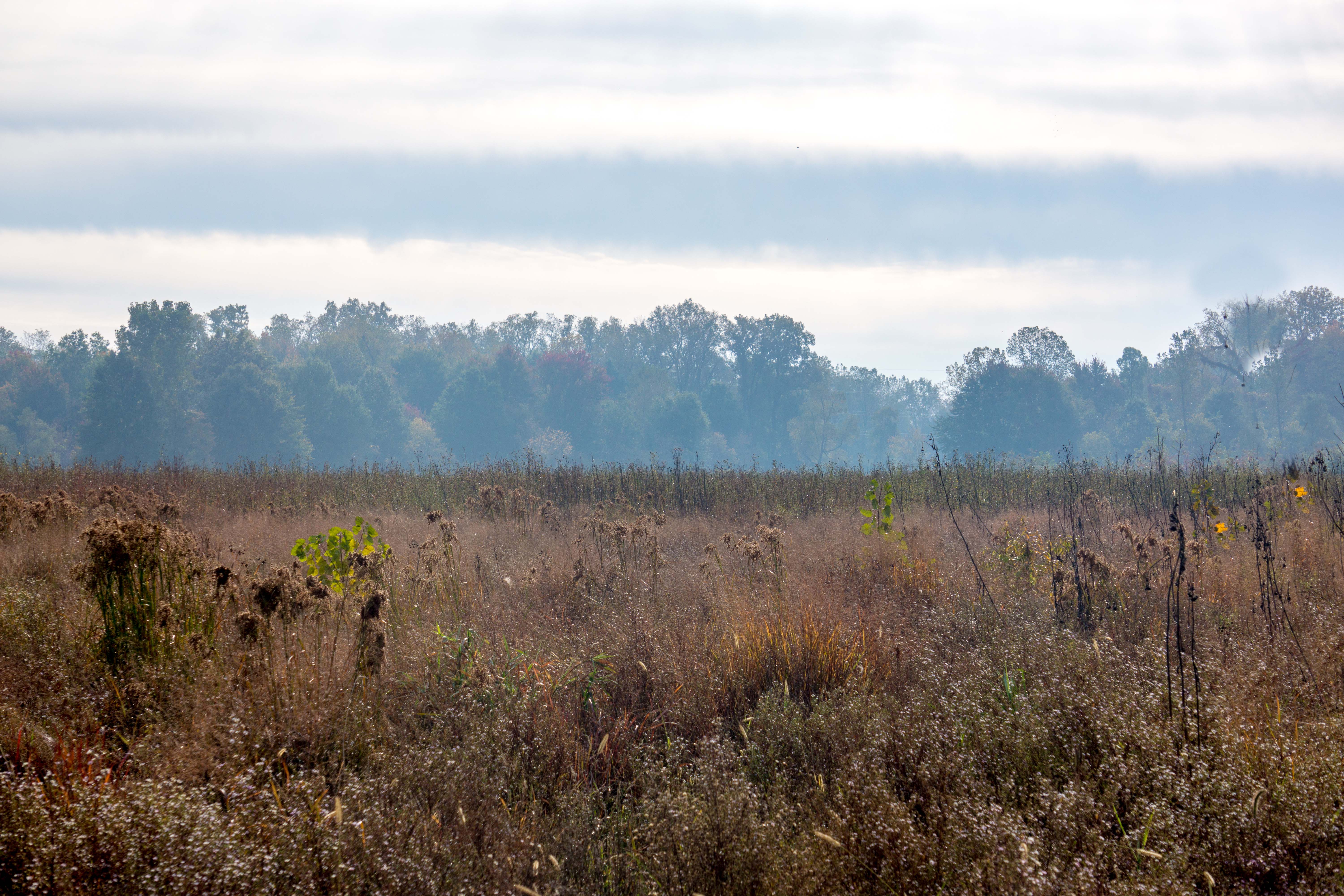
Eagle Marsh, Fort Wayne IN
2013 - August
Topographic Map of Union Township, IN, USA
Find elevation by address:

Places in Union Township, IN, USA:
Places near Union Township, IN, USA:
S Simonson St, Columbia City, IN, USA
3808 S 600 E
E S, Columbia City, IN, USA
7741 S 600 E
2409 Rock Dove Rd
Jefferson Township
208 Chestnut Hills Pkwy
Aboite Township
Timbercrest Trail, Fort Wayne, IN, USA
12705 Us-24
12705 Us-24
12705 Us-24
219 Deer Cliff Run
7602 Bass Rd
10618 Sheffield Cove
Cresthill Dr, Fort Wayne, IN, USA
8927 Woodstream Dr
Arbor Trail, Fort Wayne, IN, USA
Inverness Dr, Fort Wayne, IN, USA
Oak Lane
Recent Searches:
- Elevation of Congressional Dr, Stevensville, MD, USA
- Elevation of Bellview Rd, McLean, VA, USA
- Elevation of Stage Island Rd, Chatham, MA, USA
- Elevation of Shibuya Scramble Crossing, 21 Udagawacho, Shibuya City, Tokyo -, Japan
- Elevation of Jadagoniai, Kaunas District Municipality, Lithuania
- Elevation of Pagonija rock, Kranto 7-oji g. 8"N, Kaunas, Lithuania
- Elevation of Co Rd 87, Jamestown, CO, USA
- Elevation of Tenjo, Cundinamarca, Colombia
- Elevation of Côte-des-Neiges, Montreal, QC H4A 3J6, Canada
- Elevation of Bobcat Dr, Helena, MT, USA