Elevation of Columbia City, IN, USA
Location: United States > Indiana > Whitley County > Union Township >
Longitude: -85.488312
Latitude: 41.1572686
Elevation: 261m / 856feet
Barometric Pressure: 98KPa
Elevation Map:
Satellite Map:
Related Photos:

NS 1072, NS Chicago District, South Whitley, Indiana
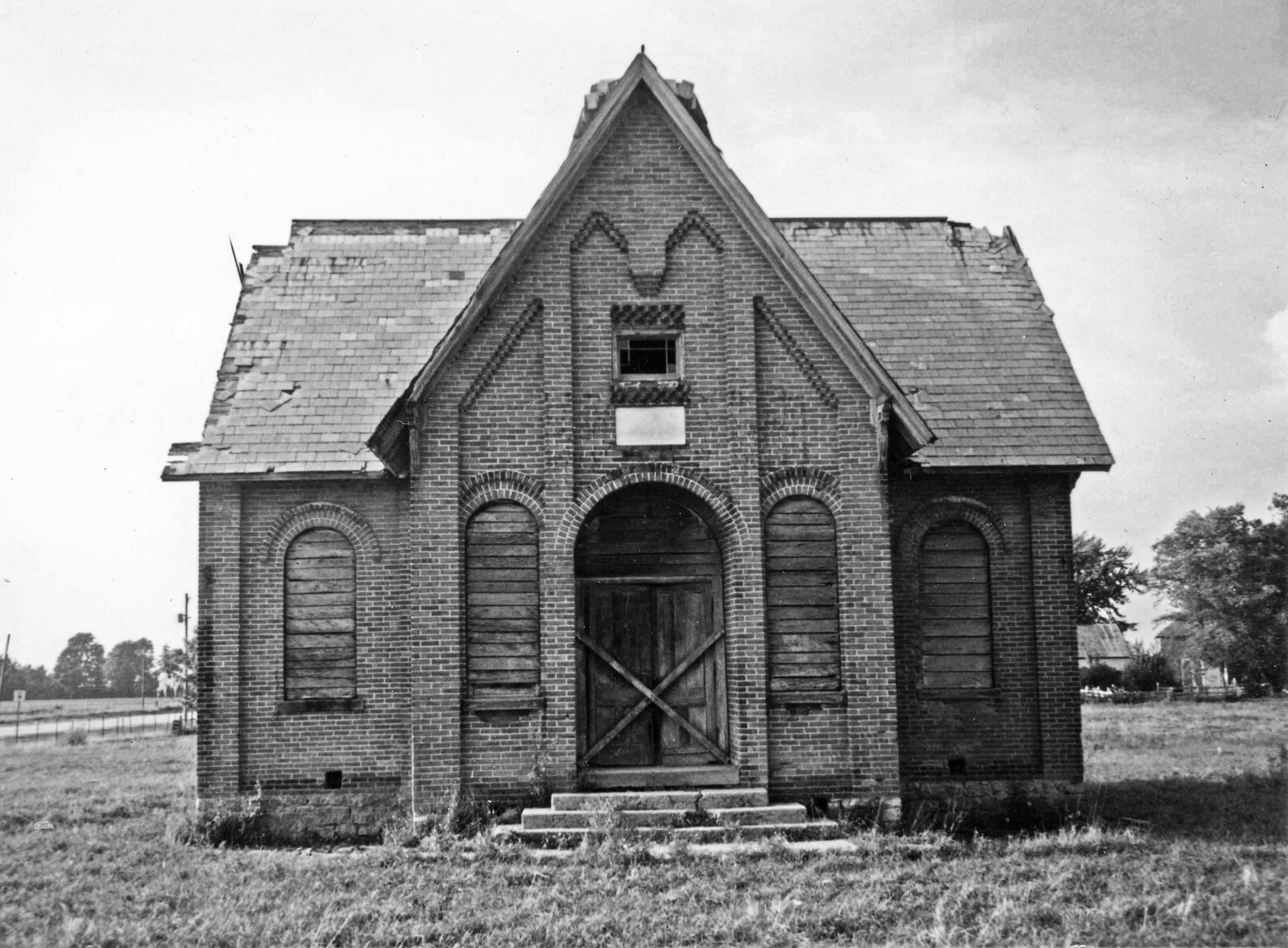
Whitley County Shoolhouse

Indiana Hay Bales

Playing at Grandpa Gorski's House - April 13 2010 - 065

Red Barn, Whitley County, IN

Camera Roll-663
Knock me Down B/W
Indiana Countryside

Playing at Grandpa Gorski's House - April 13 2010 - 159

Playing at Grandpa Gorski's House - April 13 2010 - 509
Playing at Grandpa Gorski's House - April 13 2010 - 509

Playing at Grandpa Gorski's House part 2 - April 13 2010 - 10

Playing at Grandpa Gorski's House - April 13 2010 - 345

Straw Field

Playing at Grandpa Gorski's House - April 13 2010 - 159
Topographic Map of Columbia City, IN, USA
Find elevation by address:

Places in Columbia City, IN, USA:
Places near Columbia City, IN, USA:
N Main St, Columbia City, IN, USA
Columbia Township
N W, Columbia City, IN, USA
4380 W 200 S
3828 W Lakeshore Dr-57
Richland Township
Etna-troy Township
Noble Township
Larwill
Center St, Larwill, IN, USA
US-33, Albion, IN, USA
W N-92, Columbia City, IN, USA
Pierceton
N 1st St, Pierceton, IN, USA
Washington Township
53 EMS B11 Ln, Pierceton, IN, USA
E South Barbee Dr, Pierceton, IN, USA
E Van Ness Rd, Pierceton, IN, USA
Tippecanoe Township
N Barbee Rd, Warsaw, IN, USA
Recent Searches:
- Elevation of Warwick, RI, USA
- Elevation of Fern Rd, Whitmore, CA, USA
- Elevation of 62 Abbey St, Marshfield, MA, USA
- Elevation of Fernwood, Bradenton, FL, USA
- Elevation of Felindre, Swansea SA5 7LU, UK
- Elevation of Leyte Industrial Development Estate, Isabel, Leyte, Philippines
- Elevation of W Granada St, Tampa, FL, USA
- Elevation of Pykes Down, Ivybridge PL21 0BY, UK
- Elevation of Jalan Senandin, Lutong, Miri, Sarawak, Malaysia
- Elevation of Bilohirs'k