Elevation of Union, NC, USA
Location: United States > North Carolina > Rutherford County >
Longitude: -81.986206
Latitude: 35.3110913
Elevation: 256m / 840feet
Barometric Pressure: 98KPa
Elevation Map:
Satellite Map:
Related Photos:

Nature's Hieroglyphics
Out Back

Blueberry Cobbler Anyone??? (nom nom nom...)

Any idea of its name?

Goldenrod Crab Spider, aka 'Crouching Spider, Hid in Hibiscus'
red brick building0001

Buffalo Herd
IMG_2187 (640x480)

Kudzu Monuments
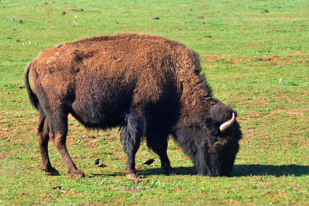
Buffalo in NC
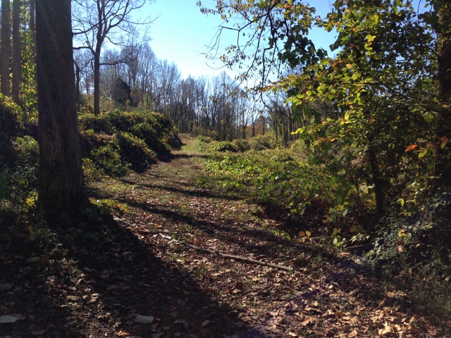
Rock Railroad

IMG_2173 (640x480)
IMG_2173 (640x480)

IMG_2151 (640x480)
IMG_2151 (640x480)
IMG_2172 (640x206)
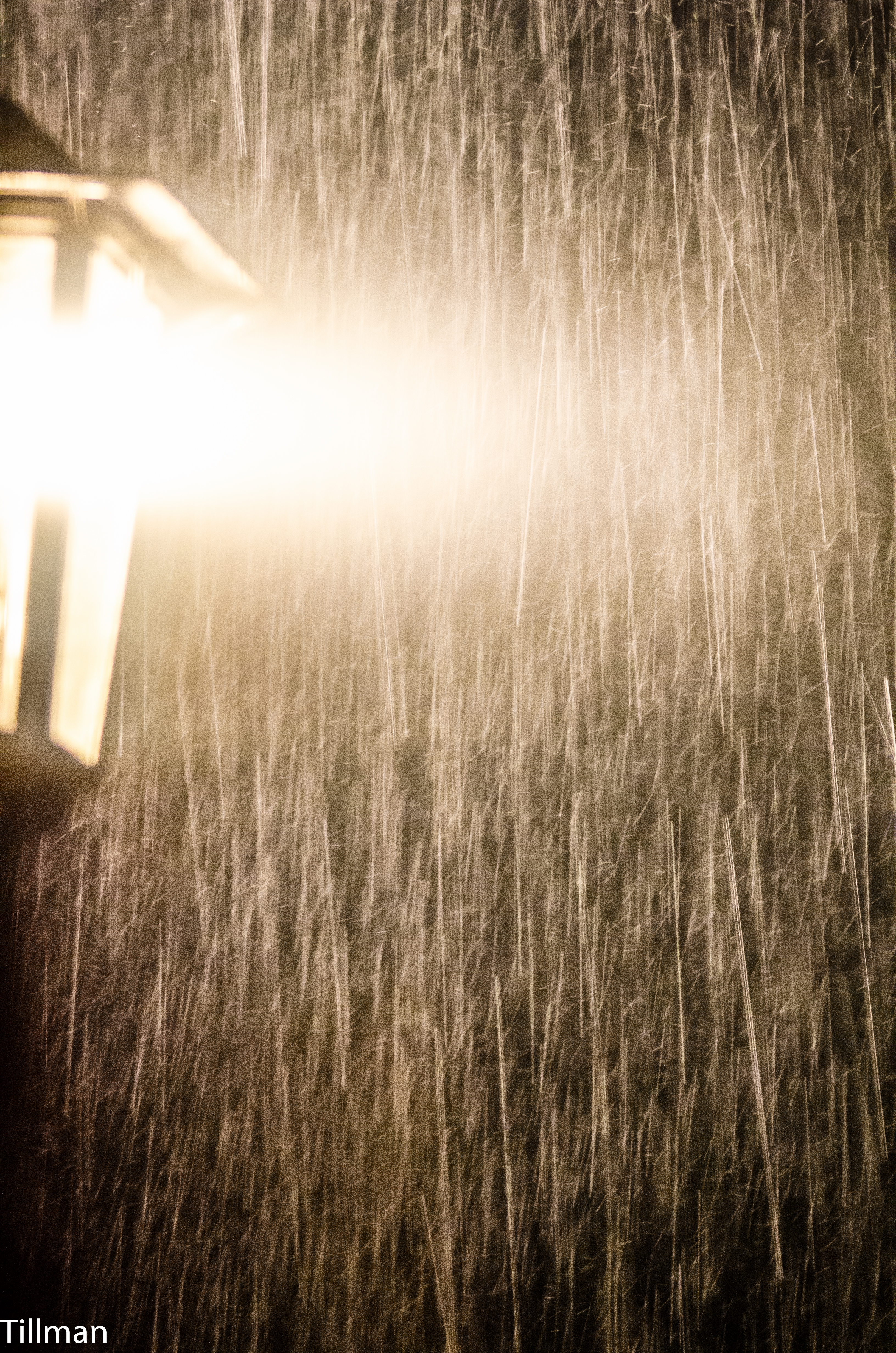
Pouring Rain

IMG_2166 (640x480)
IMG_2166 (640x480)
IMG_2161 (640x480)

IMG_2161 (640x480)
IMG_2186 (640x480)
IMG_2144 (640x480)

IMG_2170 (640x480)
IMG_2170 (640x480)
IMG_2180 (640x305)
IMG_2150 (640x480)
Topographic Map of Union, NC, USA
Find elevation by address:

Places in Union, NC, USA:
Places near Union, NC, USA:
111 Washburn Ln
201 Cleghorn Mill Rd
River Ridge Parkway
205 Weeks Rd
787 Cleghorn Mill Rd
718 Cleghorn Mill Rd
6425 Coxe Rd
1491 Poors Ford Rd
380 Front Ridge Cir
704 Poors Ford Rd
1051 River Crest Pkwy
226 Zachary Ln
201 Bayvale Rd
290 Bayvale Rd
Sandy Plains Rd, Tryon, NC, USA
1598 River Crest Pkwy
3586 Poors Ford Rd
1944 River Crest Pkwy
3759 Poors Ford Rd
1021 Big Island Rd
Recent Searches:
- Elevation of Spaceport America, Co Rd A, Truth or Consequences, NM, USA
- Elevation of Warwick, RI, USA
- Elevation of Fern Rd, Whitmore, CA, USA
- Elevation of 62 Abbey St, Marshfield, MA, USA
- Elevation of Fernwood, Bradenton, FL, USA
- Elevation of Felindre, Swansea SA5 7LU, UK
- Elevation of Leyte Industrial Development Estate, Isabel, Leyte, Philippines
- Elevation of W Granada St, Tampa, FL, USA
- Elevation of Pykes Down, Ivybridge PL21 0BY, UK
- Elevation of Jalan Senandin, Lutong, Miri, Sarawak, Malaysia