Elevation of Bayvale Rd, Forest City, NC, USA
Location: United States > North Carolina > Rutherford County > Cool Spring > Forest City >
Longitude: -81.930563
Latitude: 35.2938177
Elevation: 311m / 1020feet
Barometric Pressure: 98KPa
Elevation Map:
Satellite Map:
Related Photos:

A beautiful day in the Appalachians....

Rutherfordton House

Buffalo in NC
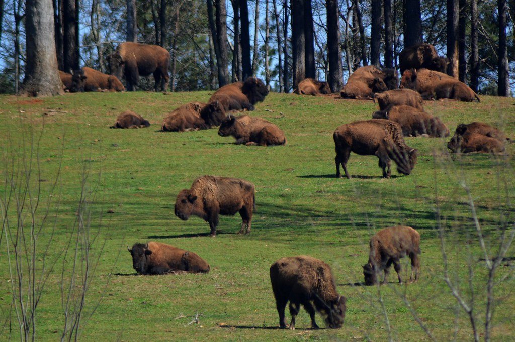
Buffalo Herd

Kudzu Monuments

Sunset in North Carolina. 6-17-13

A Sunless Country

Pouring Rain
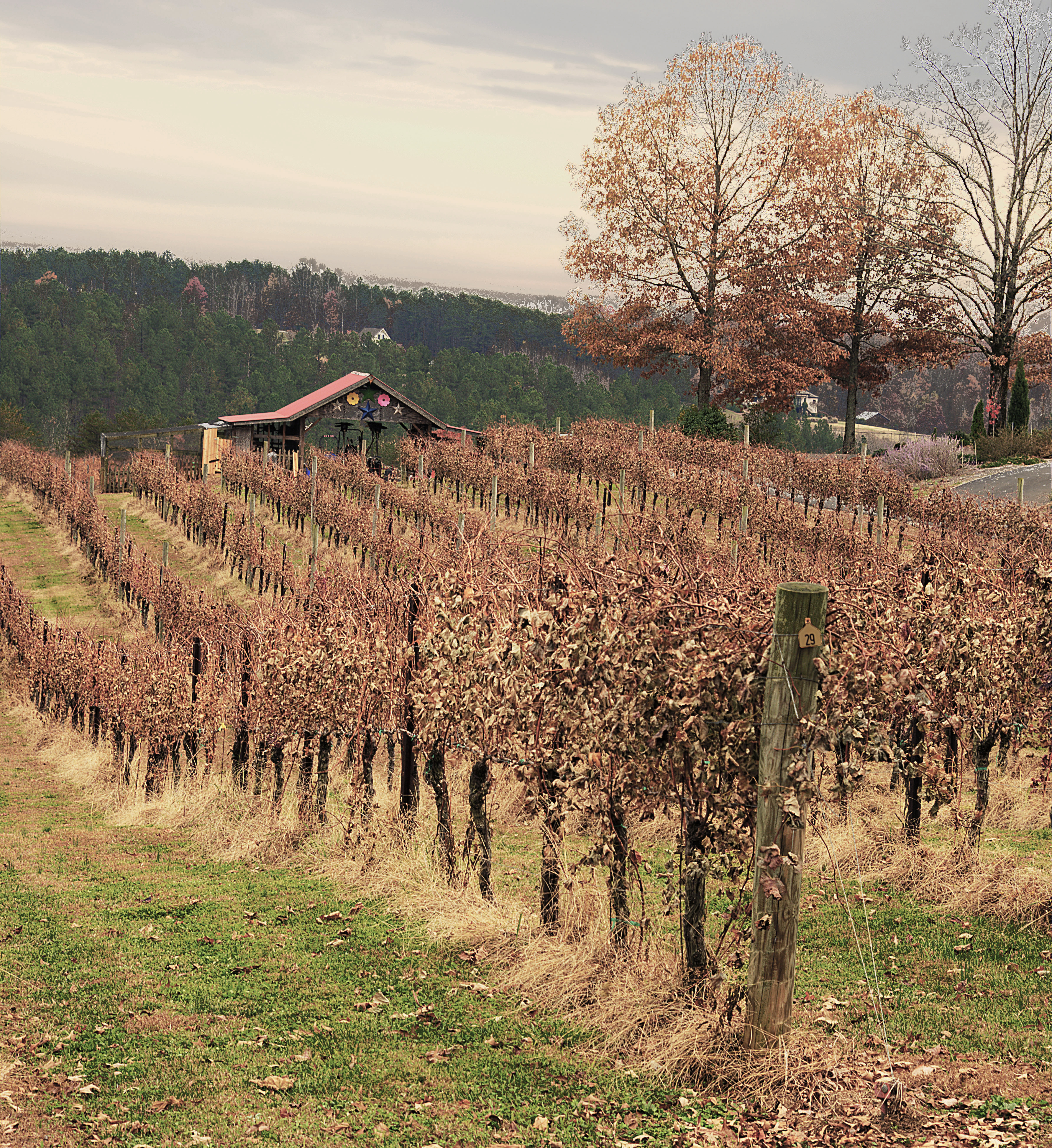
Overmountain Vineyard

foothillsshot-1

Rockhouse Vineyards

Cooley Farms South Carolina

IMG_2408 (640x480)

IMG_2411 (640x480)

IMG_2310 (640x480)

IMG_2497 (640x480)

IMG_2491 (640x480)

IMG_2435 (640x480)

IMG_3944 (640x480)

IMG_2243 (640x480)

IMG_2236 (640x480)
Topographic Map of Bayvale Rd, Forest City, NC, USA
Find elevation by address:

Places near Bayvale Rd, Forest City, NC, USA:
201 Bayvale Rd
1491 Poors Ford Rd
1021 Big Island Rd
718 Cleghorn Mill Rd
787 Cleghorn Mill Rd
704 Poors Ford Rd
205 Weeks Rd
2240 Big Island Rd
111 Washburn Ln
201 Cleghorn Mill Rd
3586 Poors Ford Rd
3759 Poors Ford Rd
River Ridge Parkway
Union
Sulphur Springs
6425 Coxe Rd
380 Front Ridge Cir
Green Creek
Sandy Plains Rd, Tryon, NC, USA
1051 River Crest Pkwy
Recent Searches:
- Elevation of Beall Road, Beall Rd, Florida, USA
- Elevation of Leguwa, Nepal
- Elevation of County Rd, Enterprise, AL, USA
- Elevation of Kolchuginsky District, Vladimir Oblast, Russia
- Elevation of Shustino, Vladimir Oblast, Russia
- Elevation of Lampiasi St, Sarasota, FL, USA
- Elevation of Elwyn Dr, Roanoke Rapids, NC, USA
- Elevation of Congressional Dr, Stevensville, MD, USA
- Elevation of Bellview Rd, McLean, VA, USA
- Elevation of Stage Island Rd, Chatham, MA, USA