Elevation of Unicoi, TN, USA
Location: United States > Tennessee > Unicoi County >
Longitude: -82.349581
Latitude: 36.1953862
Elevation: 588m / 1929feet
Barometric Pressure: 94KPa
Elevation Map:
Satellite Map:
Related Photos:

Watching the Game

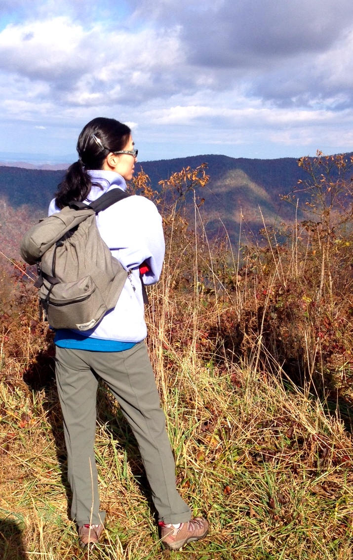
My view - what are you looking at right now?

203 walking down path to parking lot

Buffalo Pano
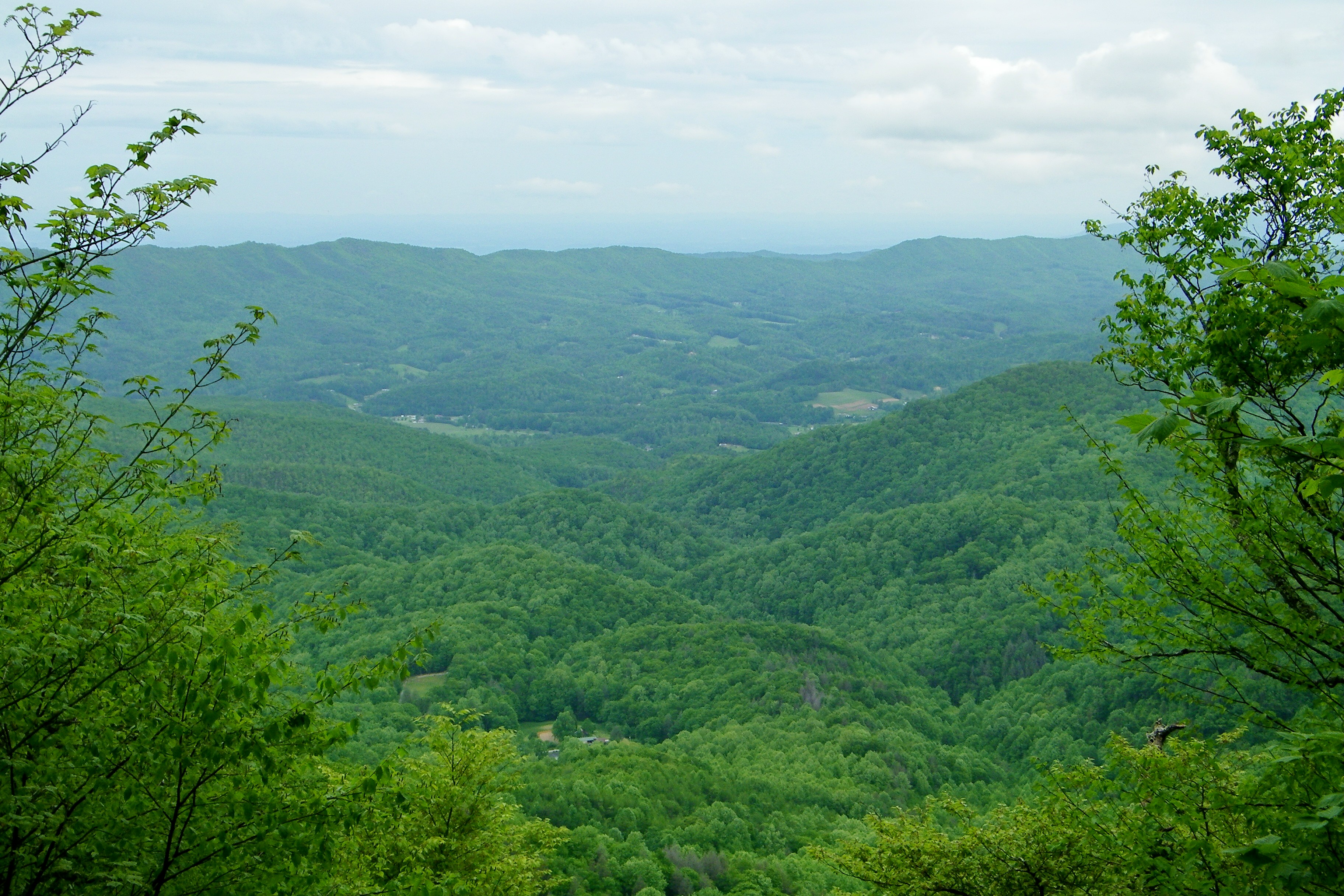
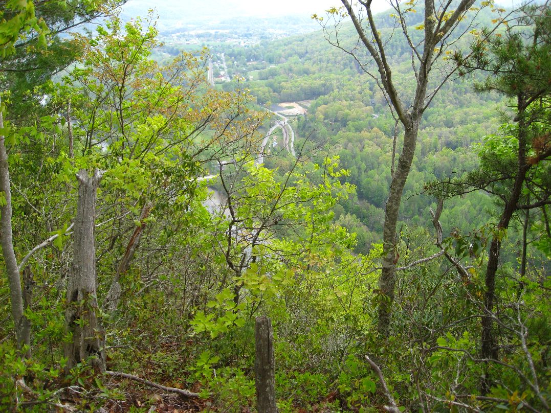
View-Top of Lost Cove

Parents view.
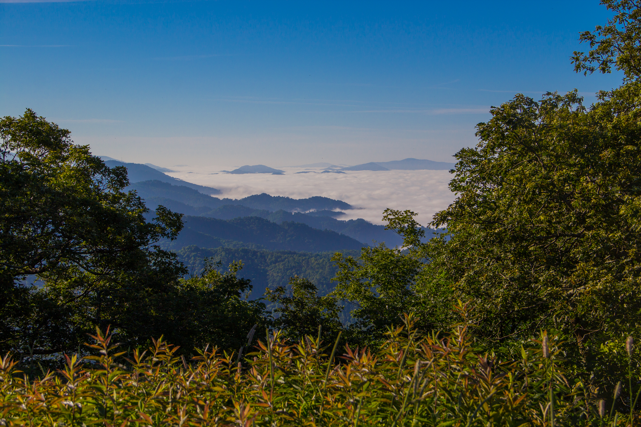
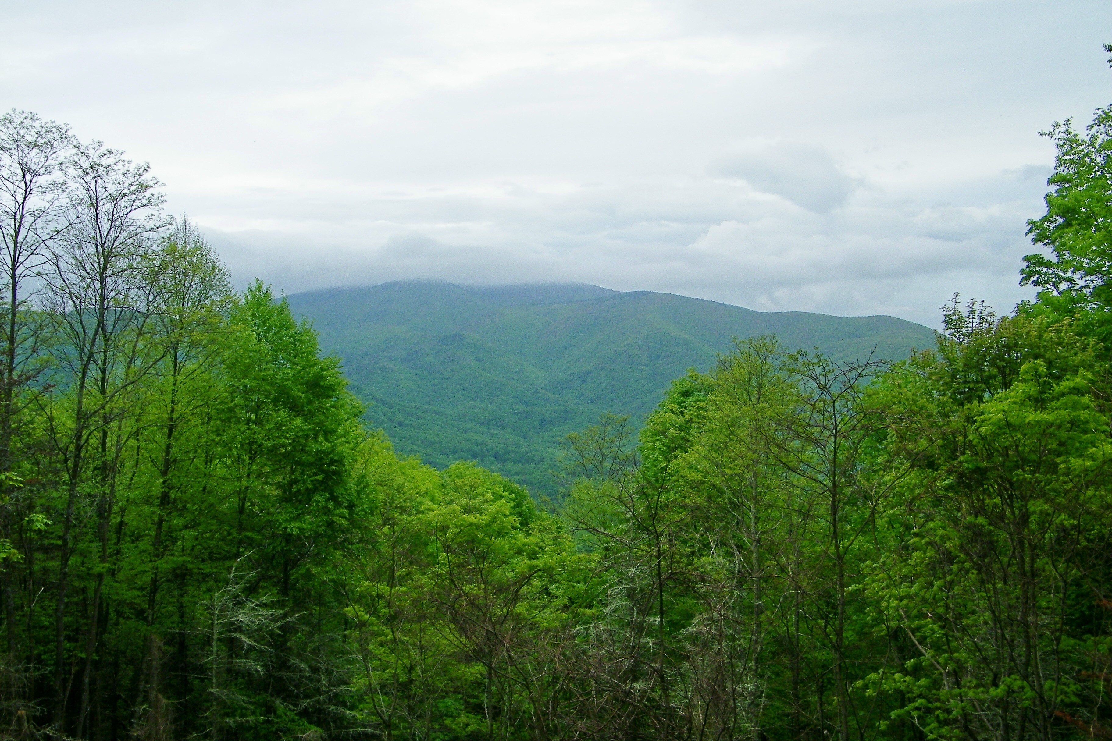
Fog Below Roan Mountain, Pisgah National Forest, North Carolina

First Presbyterian Church - Jonesborough, TN

201 Claire on the trail

195 Trail to top of hill at rest stop in Tennessee
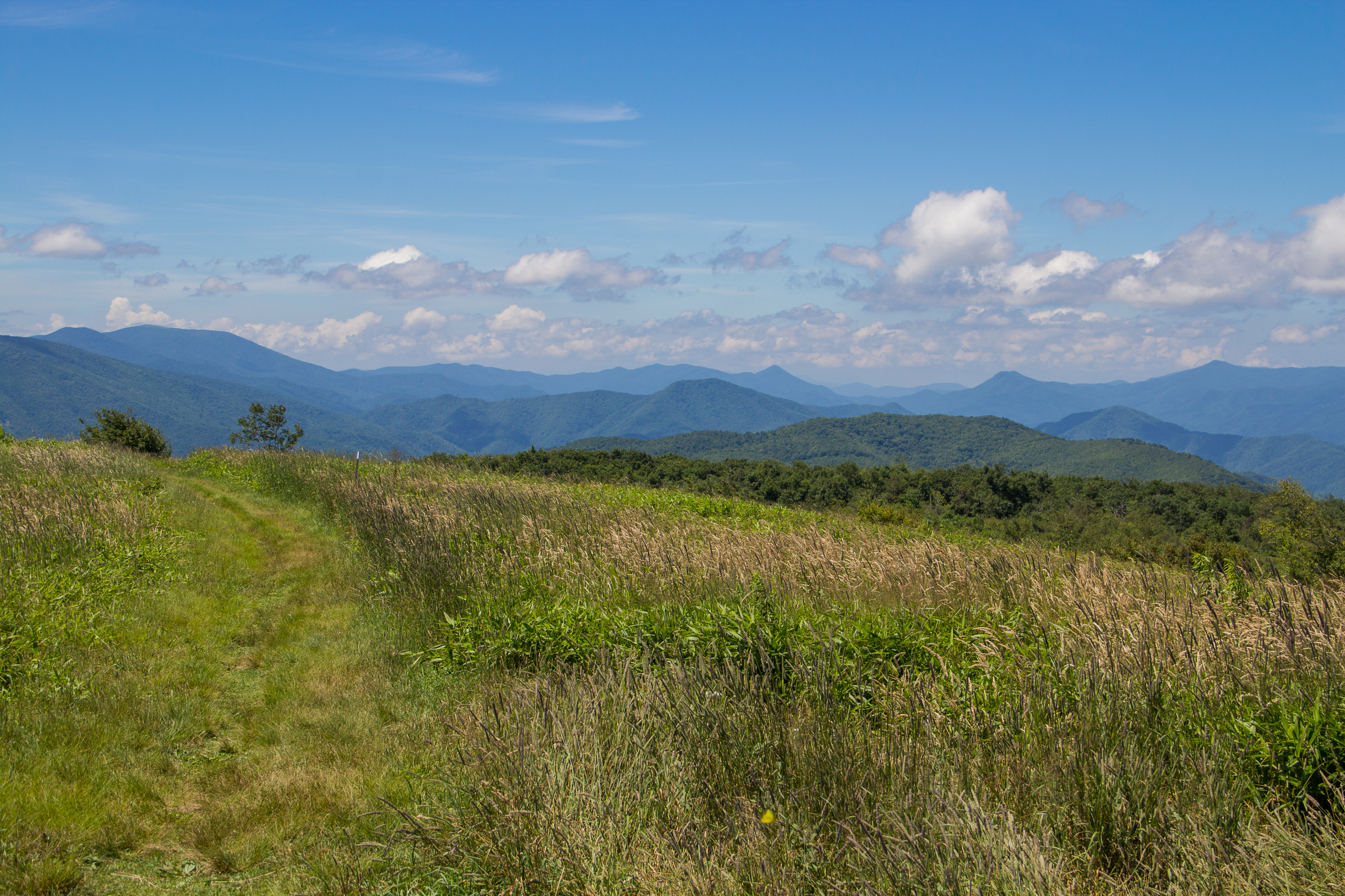
Beauty Spot, Appalachian Trail, Cherokee National Forest, Tennessee

First Presbyterian Church - Jonesborough, TN
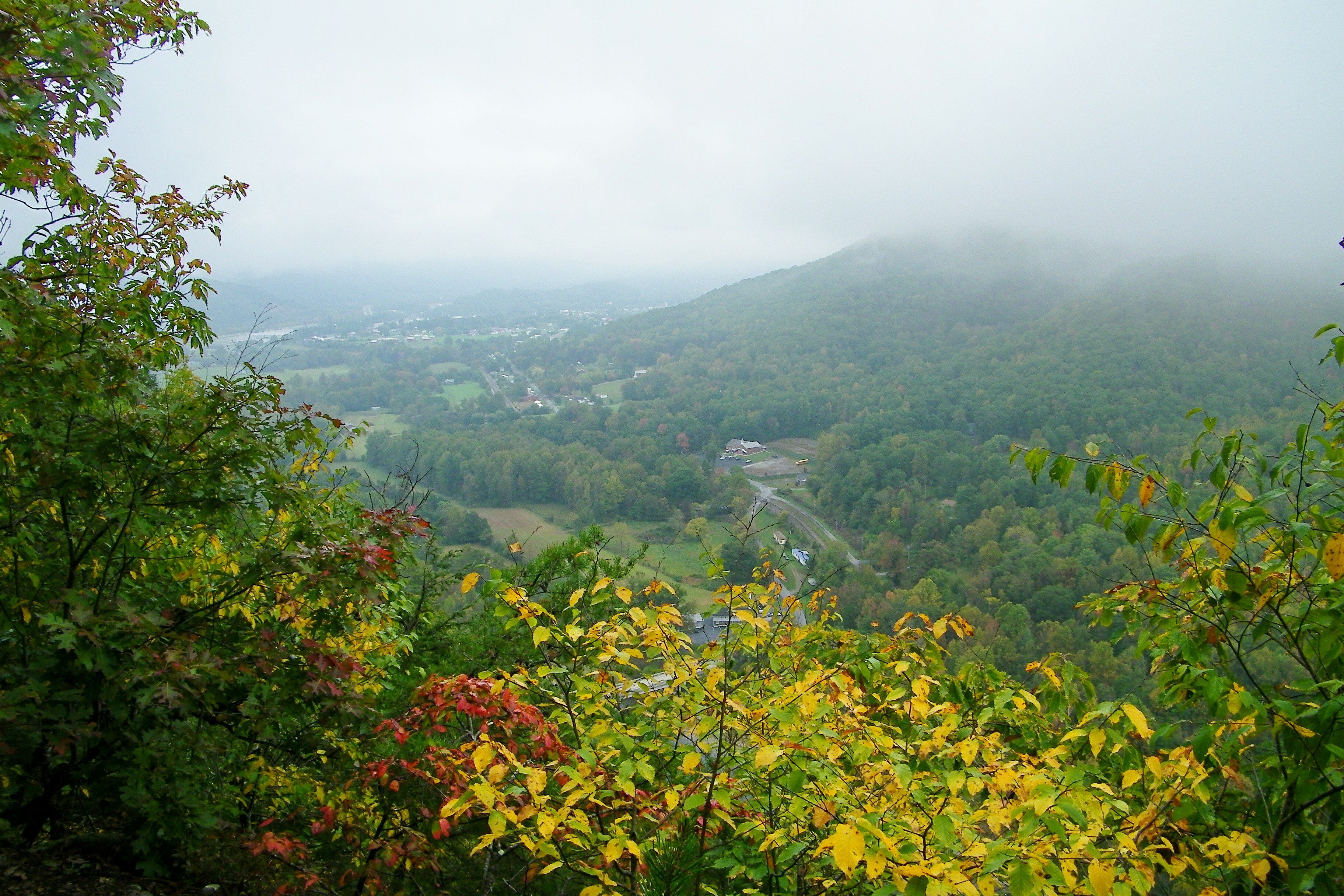
Erwin, TN
Appalachian Trail

197 On the trail to the top
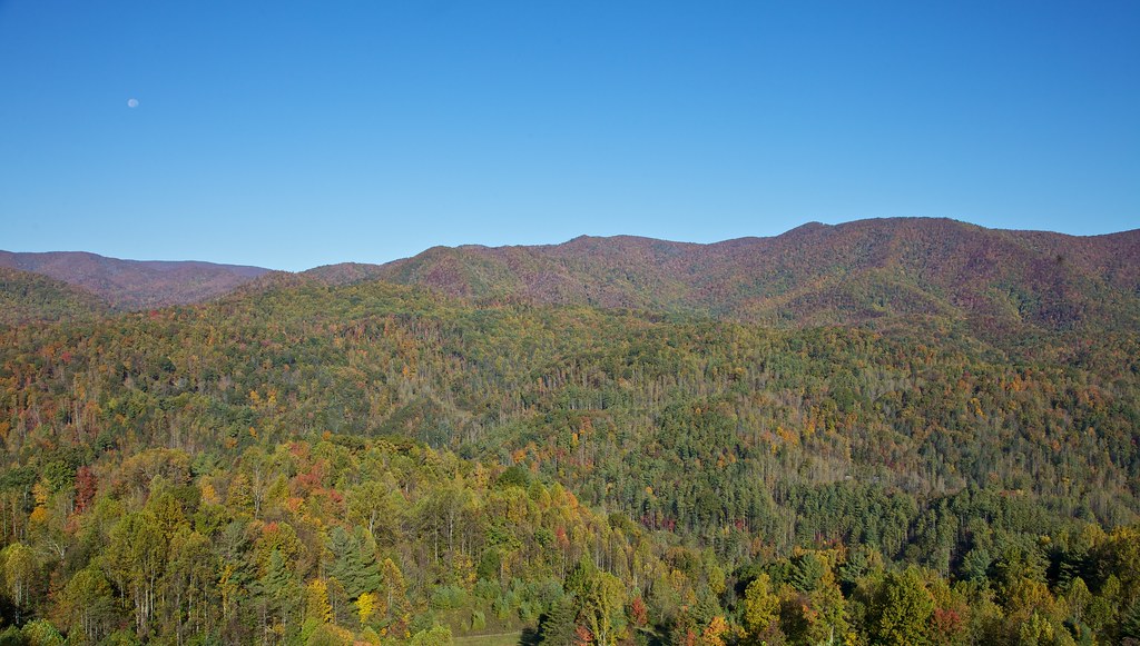
Unaka Mountain

2013.12.27 125K Views
199 View top of the trail
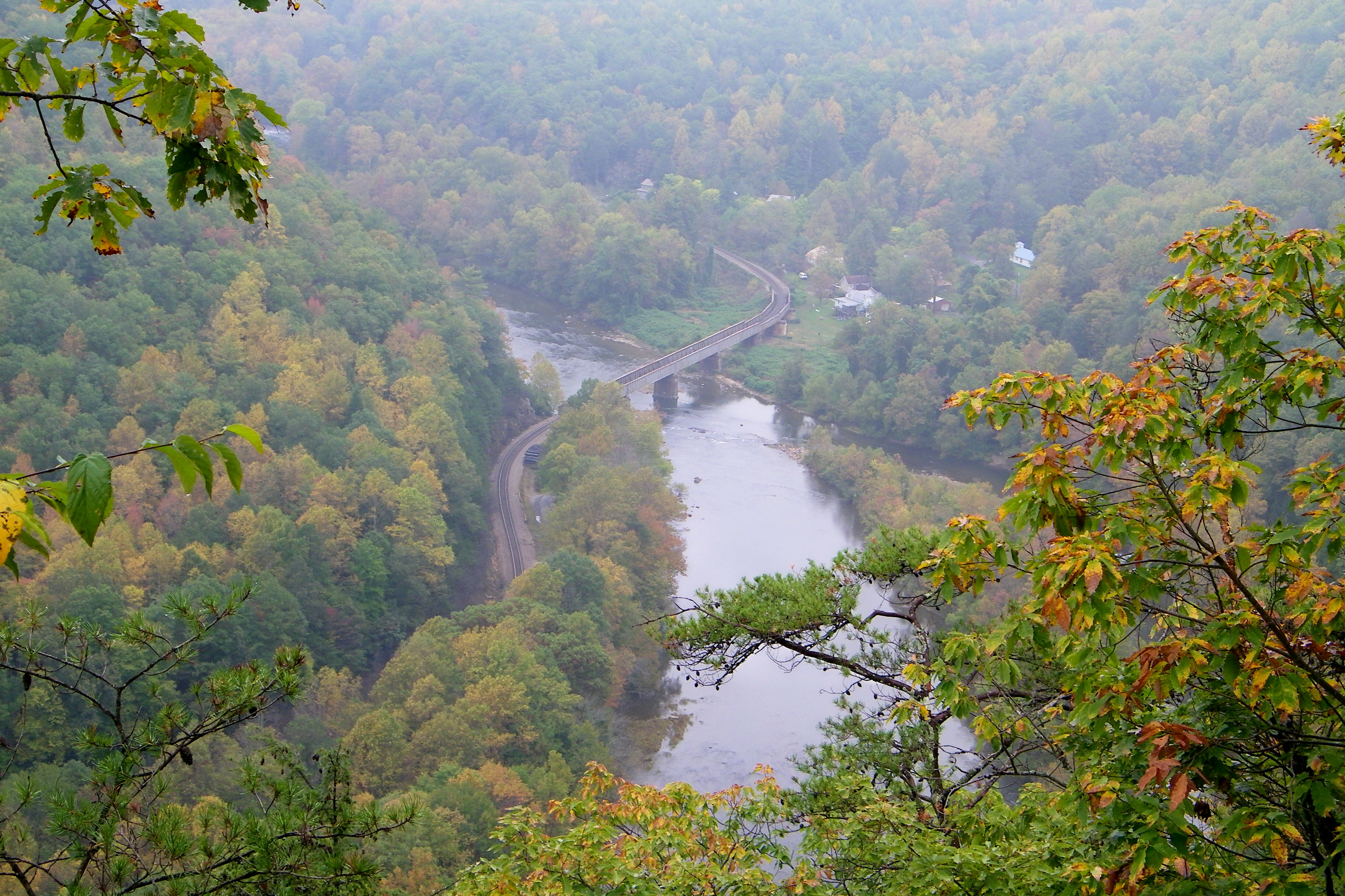
Railroad Trestle over the Nolichucky River
20100424-131516

My view today

Unicoi Mountain
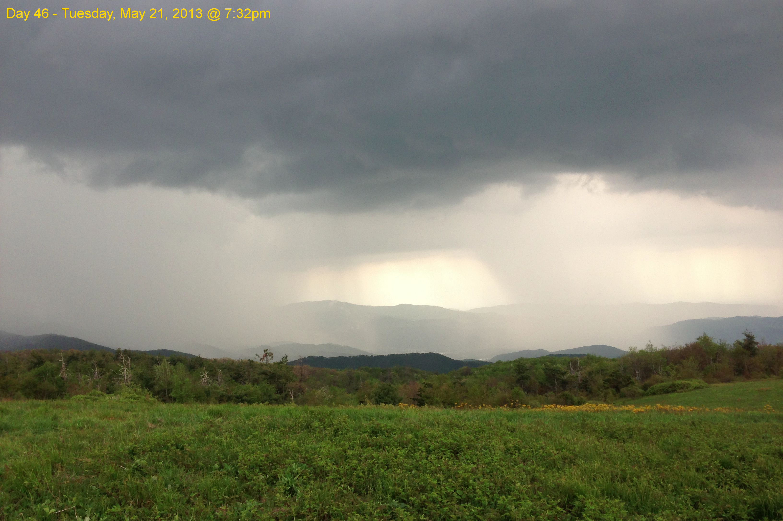
Garry AT Hike 2013-05-21 @ 19-32-39

WP_20141124_040.JPG

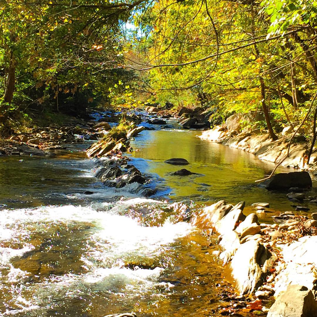
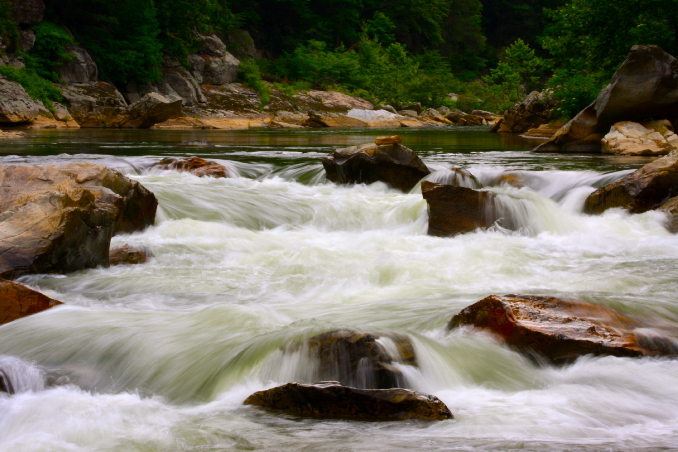
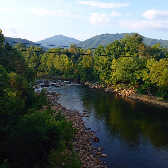
Nolichucky River

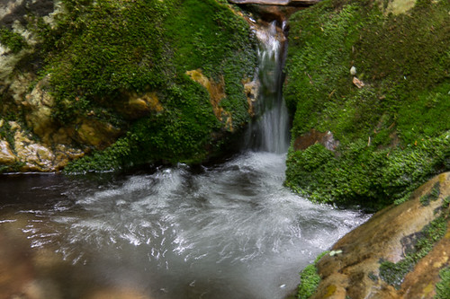
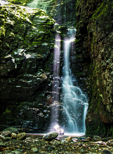
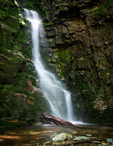
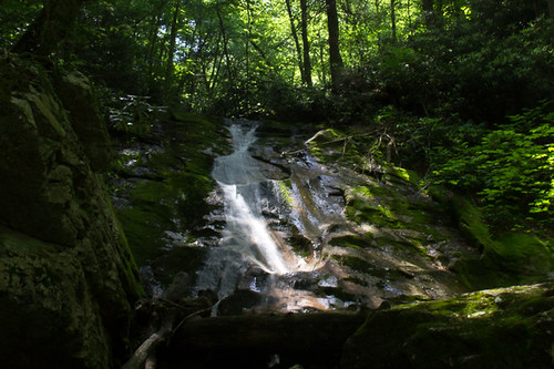
Red Fork Falls
#Nolichucky #Unicoi #erwin #unicoicounty
Rock Creek Hike

IMG_9063.JPG
Rock Creek Hike

Rock Creek Hike

Pine Oaks Golf Course
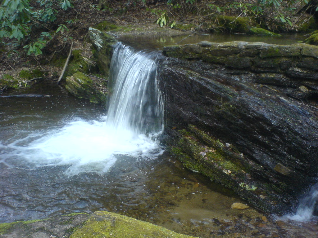
Clear Fork Creek
rafting Nolichucky River Gwen Fred Sam Rhett Nantahala Outdoor Center Erwin TN 07-30-2012

#park #erwinlineartrail #fall #leaves #erwin
Rock Creek Hike
#erwinlineartrail
WP_20141123_063.JPG
Rock Creek Hike
Rock Creek Hike
Topographic Map of Unicoi, TN, USA
Find elevation by address:

Places in Unicoi, TN, USA:
Sneyd Road
Upper Stone Mountain Rd, Unicoi, TN, USA
Marbleton Rd, Unicoi, TN, USA
Beauty Spot Gap
Sciota Woods Court
Conway Mccurry Road
Scioto Woods Court
Sciota Woods Court
Young Road
Places near Unicoi, TN, USA:
Conway Mccurry Road
229 Parsley St
1010 Dove Meadow Ln
2951 Zane Whitson Drive
309 White Cove Rd
3222 Unicoi Dr
309 Sciota Rd
319 Sciota Rd
2108 N Main Ave
405 Fishery Loop Rd
Scioto Woods Court
Sciota Woods Court
Sciota Woods Court
19 Pippin Cir
Holly Acres Circle
355 Holly Acres Cir
105 Woodland Dr
Rock Creek Park Recreation Area
1122 E Erwin Rd
188 Unaka View Dr
Recent Searches:
- Elevation of Corso Fratelli Cairoli, 35, Macerata MC, Italy
- Elevation of Tallevast Rd, Sarasota, FL, USA
- Elevation of 4th St E, Sonoma, CA, USA
- Elevation of Black Hollow Rd, Pennsdale, PA, USA
- Elevation of Oakland Ave, Williamsport, PA, USA
- Elevation of Pedrógão Grande, Portugal
- Elevation of Klee Dr, Martinsburg, WV, USA
- Elevation of Via Roma, Pieranica CR, Italy
- Elevation of Tavkvetili Mountain, Georgia
- Elevation of Hartfords Bluff Cir, Mt Pleasant, SC, USA