Elevation of Ulta, West Bengal, India
Location: India > West Bengal > West Medinipur >
Longitude: 87.1883993
Latitude: 22.4271498
Elevation: 38m / 125feet
Barometric Pressure: 101KPa
Elevation Map:
Satellite Map:
Related Photos:
New Ray Of Hope
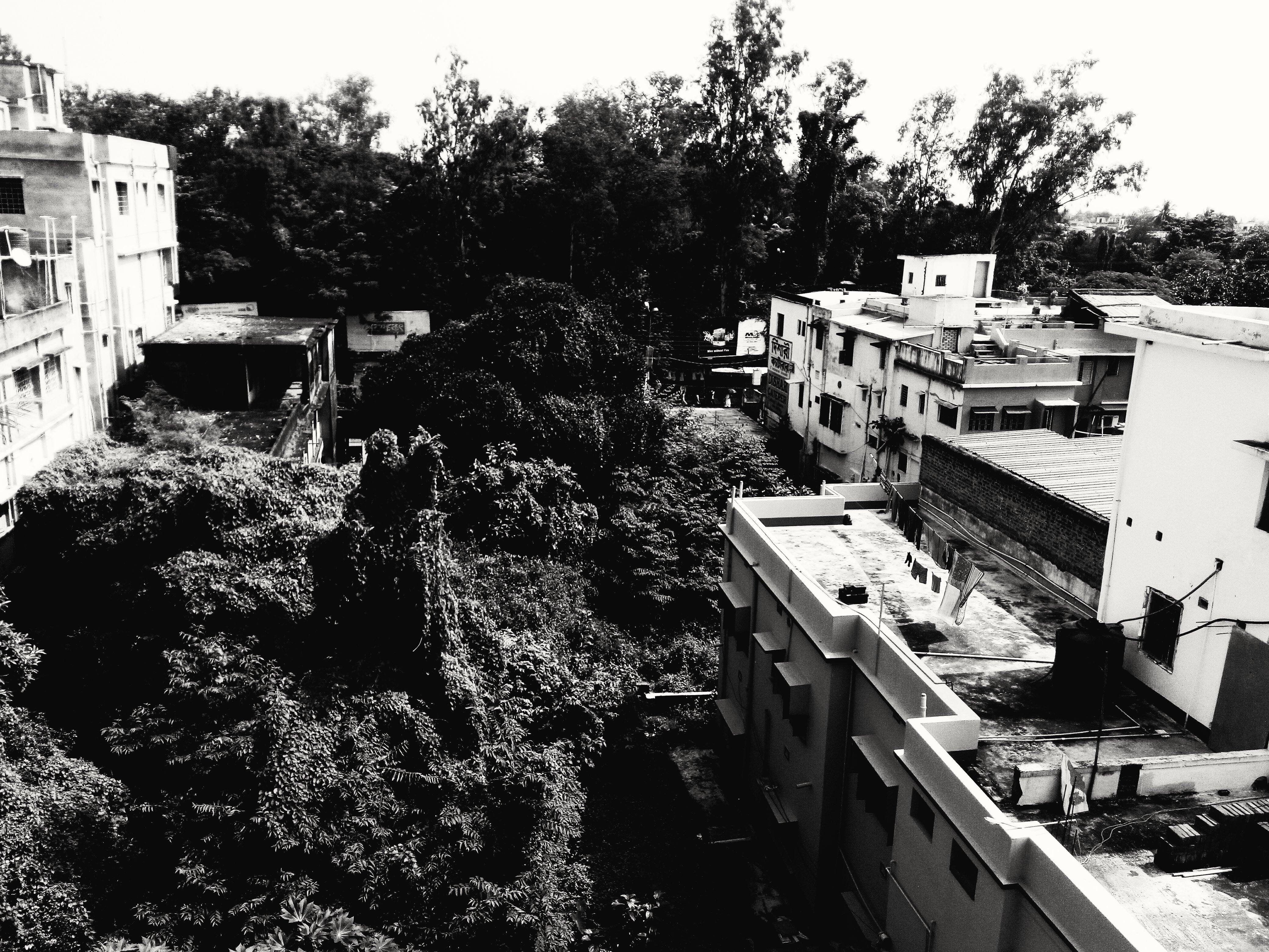
Contrast of elements

Traditional Is The Best #saraswatipuja

Chat-wala... #localscene #streetfood
#flaxflowers #yellowish
Delight Through Enlightenment
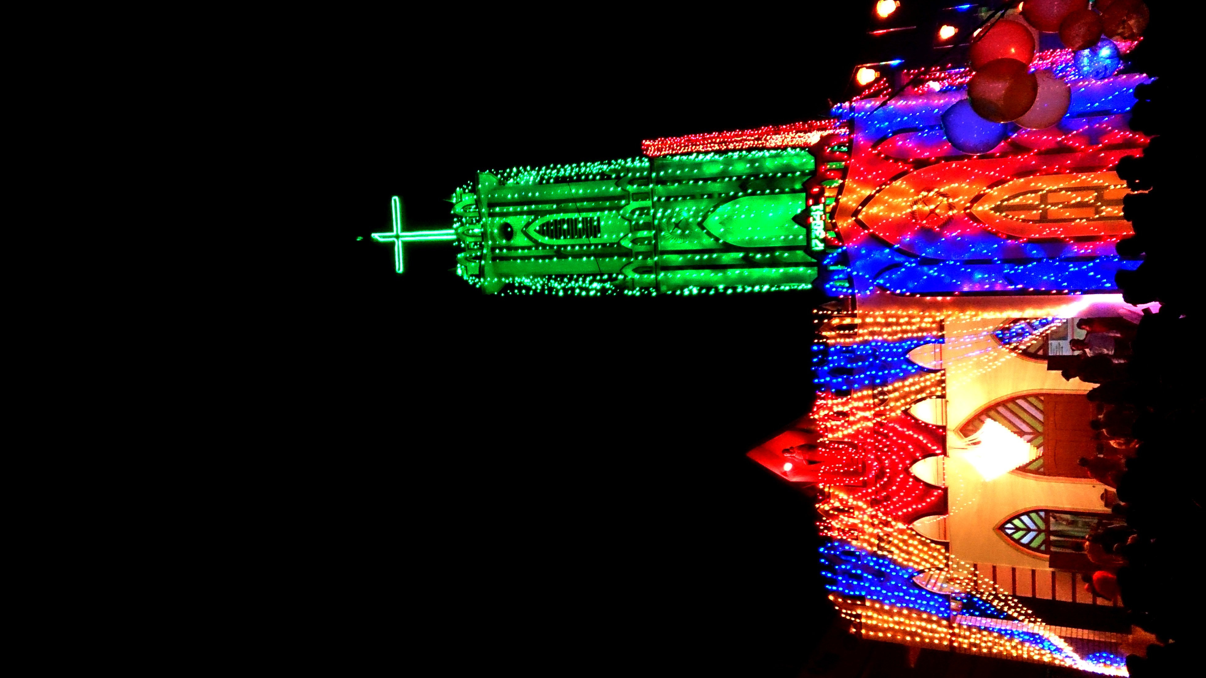
At The Church #christmas
What If I Tell You Its Not A Painting

HarHar Mahadeb!

Jagadhatri Puja#15 Zilla Parishad Midnapore Town

Beauty is how you look at it!
1 Star

Greatest Festivals In India
Literally The Flash :)

Optimistic??
VintageB&W

Planning His Next Move

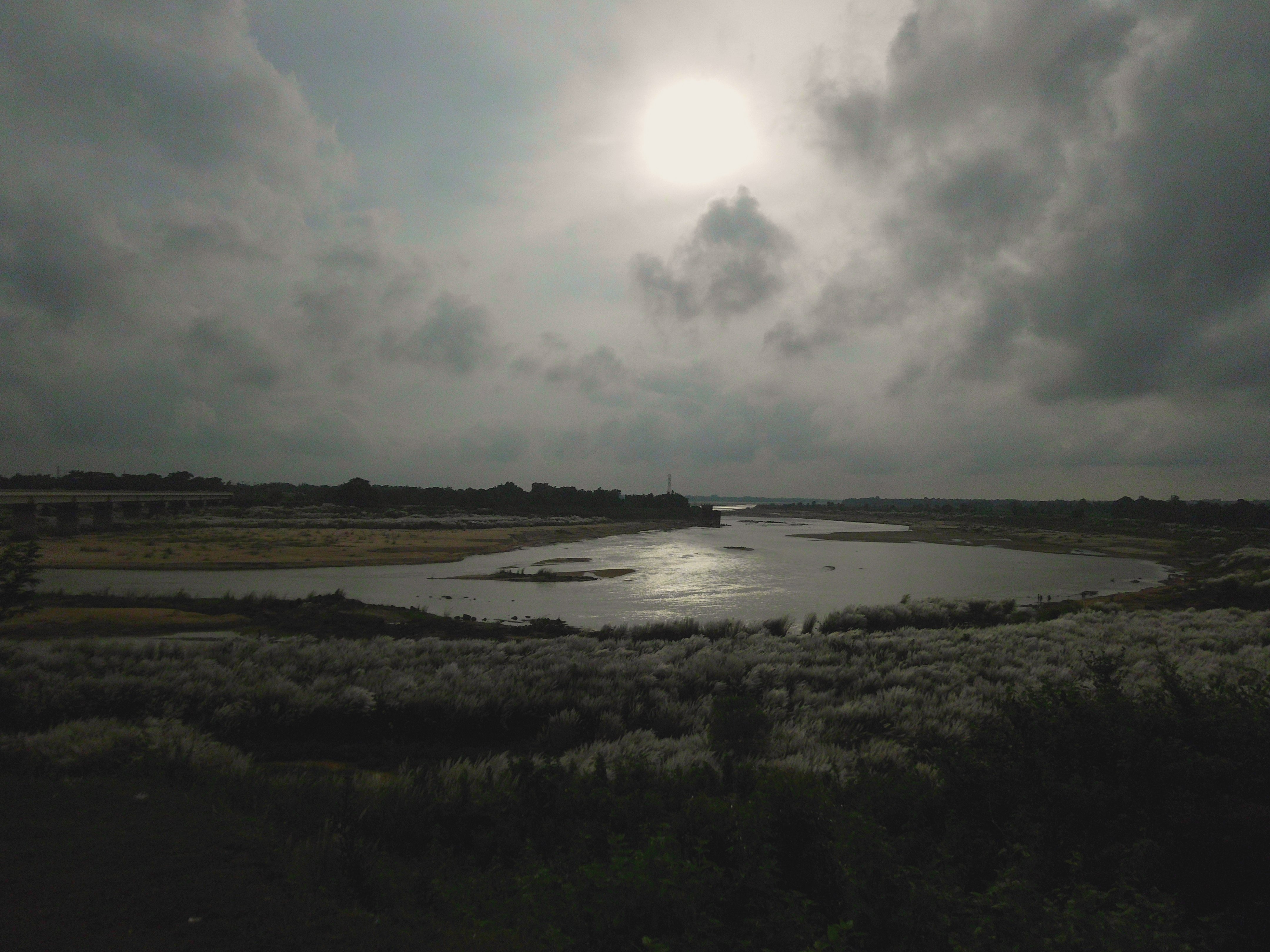
The Storm Is On Its Way

Flight #flight #bird #tree #clouds #rainyseason #monsoon #monochrome #fineartphotography #coherence #dailylife
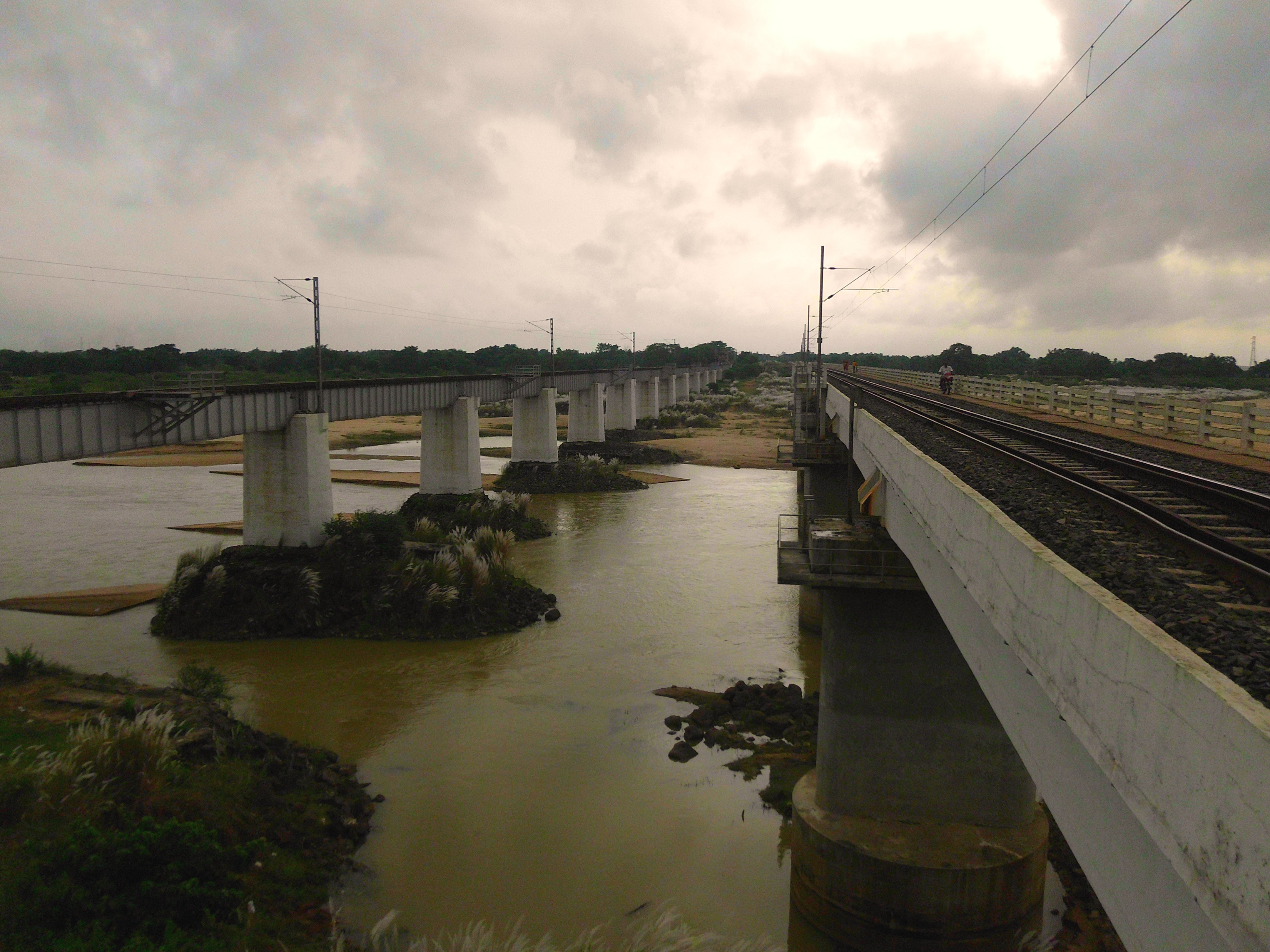
Railbridge Twins

samanta family
Topographic Map of Ulta, West Bengal, India
Find elevation by address:

Places near Ulta, West Bengal, India:
Kharagpur
Medinipur
West Medinipur
Kharagpur
Mohanpur
Purba Medinipur
Hugli
Uluberia
Baguran Jalpai
Haldia
137, School Rd
Gangapuri
Kudghat Bazar
W2c-s-18
Golf Green
9/19/1, Jadavpur Central Rd, Narikel Bagan
Bijoygarh, Narikel Bagan
19, East Rd, Bidhanpally
19, East Rd, Bidhanpally
19, East Rd, Bidhanpally
Recent Searches:
- Elevation of Corso Fratelli Cairoli, 35, Macerata MC, Italy
- Elevation of Tallevast Rd, Sarasota, FL, USA
- Elevation of 4th St E, Sonoma, CA, USA
- Elevation of Black Hollow Rd, Pennsdale, PA, USA
- Elevation of Oakland Ave, Williamsport, PA, USA
- Elevation of Pedrógão Grande, Portugal
- Elevation of Klee Dr, Martinsburg, WV, USA
- Elevation of Via Roma, Pieranica CR, Italy
- Elevation of Tavkvetili Mountain, Georgia
- Elevation of Hartfords Bluff Cir, Mt Pleasant, SC, USA