Elevation of Uluberia, Howrah, West Bengal, India
Location: India > West Bengal > Howrah > Howrah >
Longitude: 88.0897934
Latitude: 22.4763526
Elevation: 6m / 20feet
Barometric Pressure: 101KPa
Elevation Map:
Satellite Map:
Related Photos:
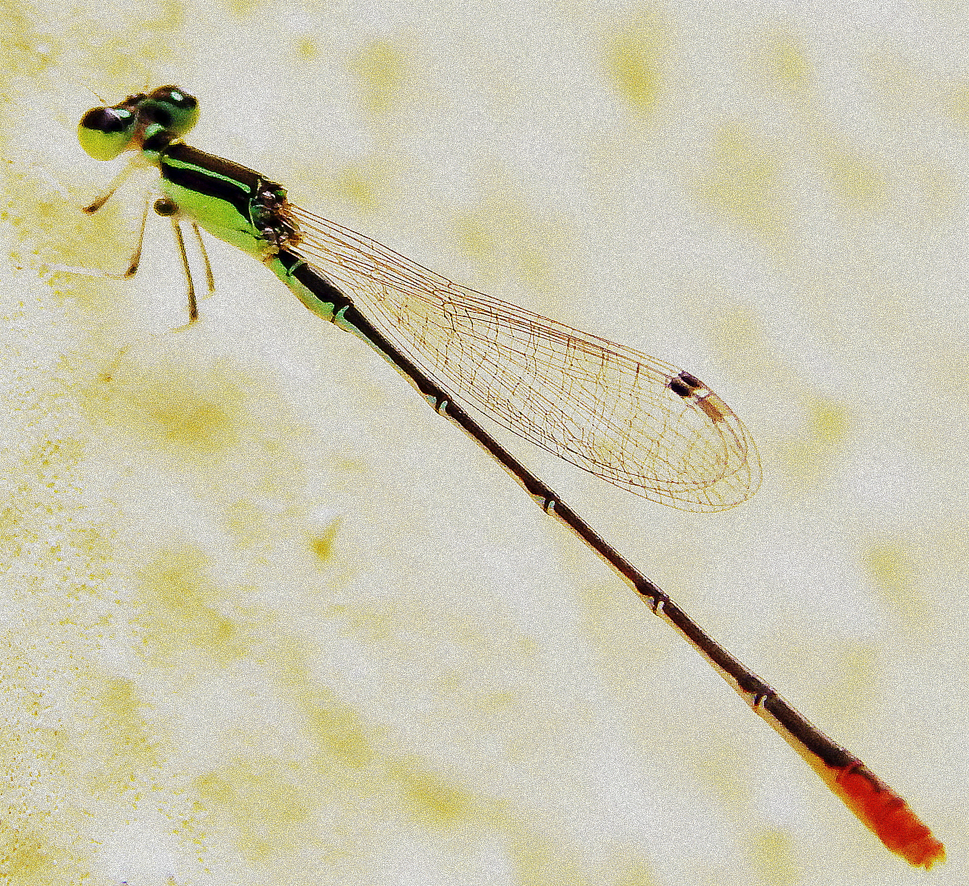
Macro View of Damselfly

নদীমাতৃক ১৭ / River Delta 17

Beautiful Ganga

lemon pansy

dragon fly

নদীমাতৃক ৪ / River Delta 4

Red-vented Bulbul

Running into the Sun....

The Legend..

Nature's painting

Pujo Asche

2016-03-17_01-29-56

2015-08-02_10-51-19
Topographic Map of Uluberia, Howrah, West Bengal, India
Find elevation by address:

Places near Uluberia, Howrah, West Bengal, India:
137, School Rd
Gangapuri
Kudghat Bazar
W2c-s-18
Golf Green
9/19/1, Jadavpur Central Rd, Narikel Bagan
Bijoygarh, Narikel Bagan
19, East Rd, Bidhanpally
19, East Rd, Bidhanpally
19, East Rd, Bidhanpally
19, East Rd, Bidhanpally
Peak Tower
1925, Chak Garia
Santoshpur
Haldia
South 24 Parganas
Purba Medinipur
West Medinipur
Medinipur
Hugli
Recent Searches:
- Elevation of 6 Rue Jules Ferry, Beausoleil, France
- Elevation of Sattva Horizon, 4JC6+G9P, Vinayak Nagar, Kattigenahalli, Bengaluru, Karnataka, India
- Elevation of Great Brook Sports, Gold Star Hwy, Groton, CT, USA
- Elevation of 10 Mountain Laurels Dr, Nashua, NH, USA
- Elevation of 16 Gilboa Ln, Nashua, NH, USA
- Elevation of Laurel Rd, Townsend, TN, USA
- Elevation of 3 Nestling Wood Dr, Long Valley, NJ, USA
- Elevation of Ilungu, Tanzania
- Elevation of Yellow Springs Road, Yellow Springs Rd, Chester Springs, PA, USA
- Elevation of Rēzekne Municipality, Latvia