Elevation of Two Dot Hwy, Twodot, MT, USA
Location: United States > Montana > Meagher County >
Longitude: -110.50563
Latitude: 46.2228039
Elevation: 1954m / 6411feet
Barometric Pressure: 80KPa
Elevation Map:
Satellite Map:
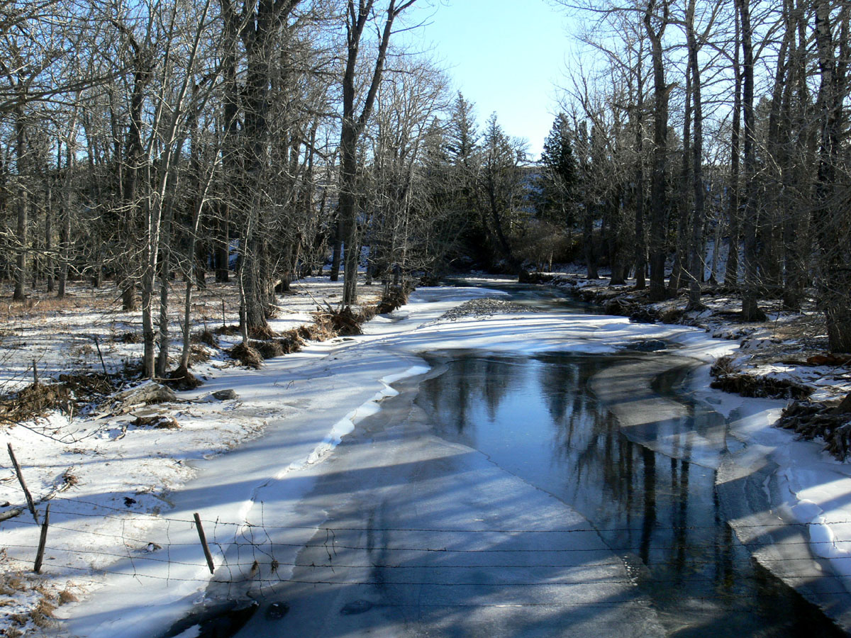
Related Photos:
Lebo, Montana
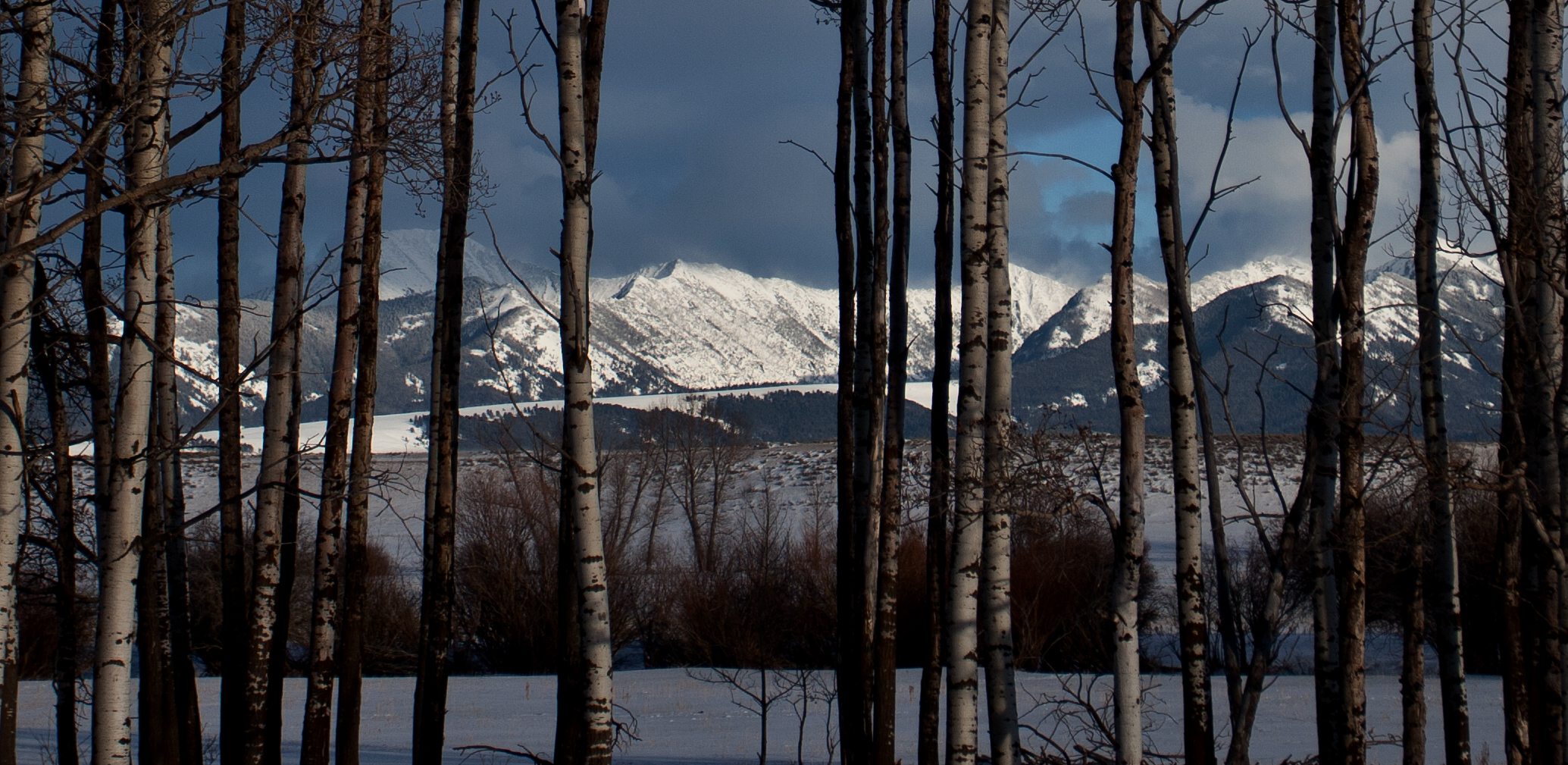
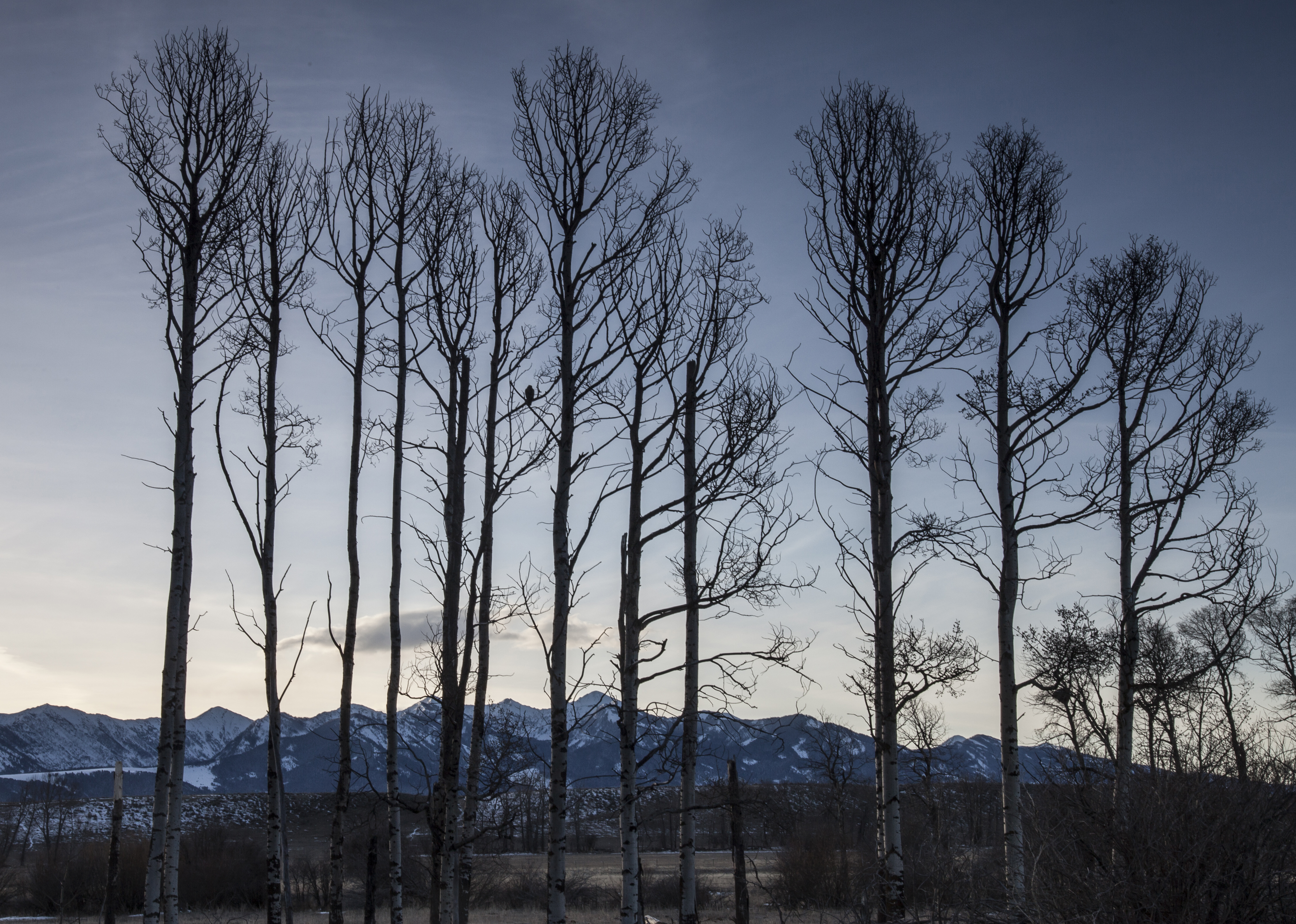
Last Rays of Light
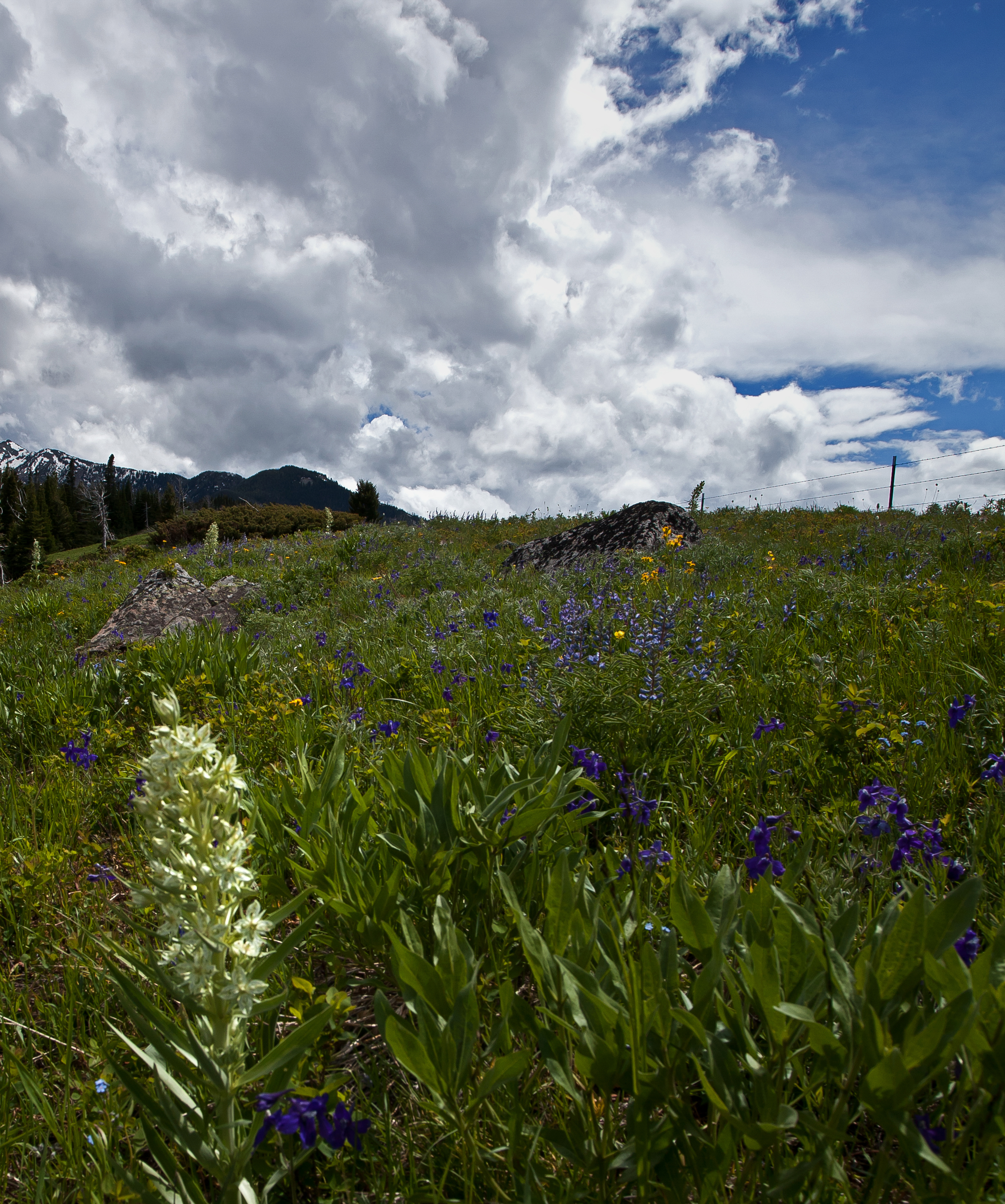
Summertime in the Mountains

Coole Park
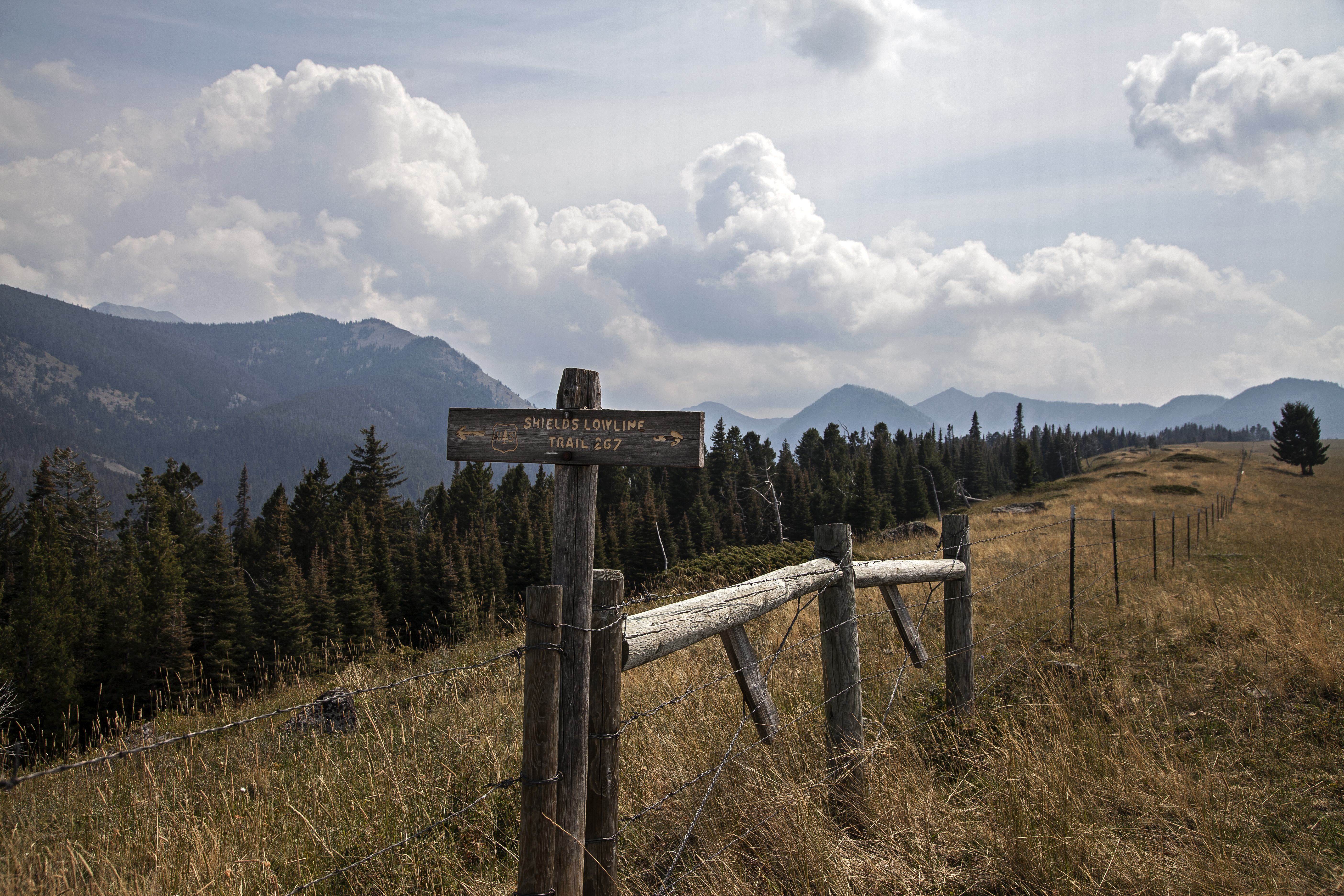
A Mountain Fence - HFF
Easter Morning

The Sound of Spring

The Lowline Trail
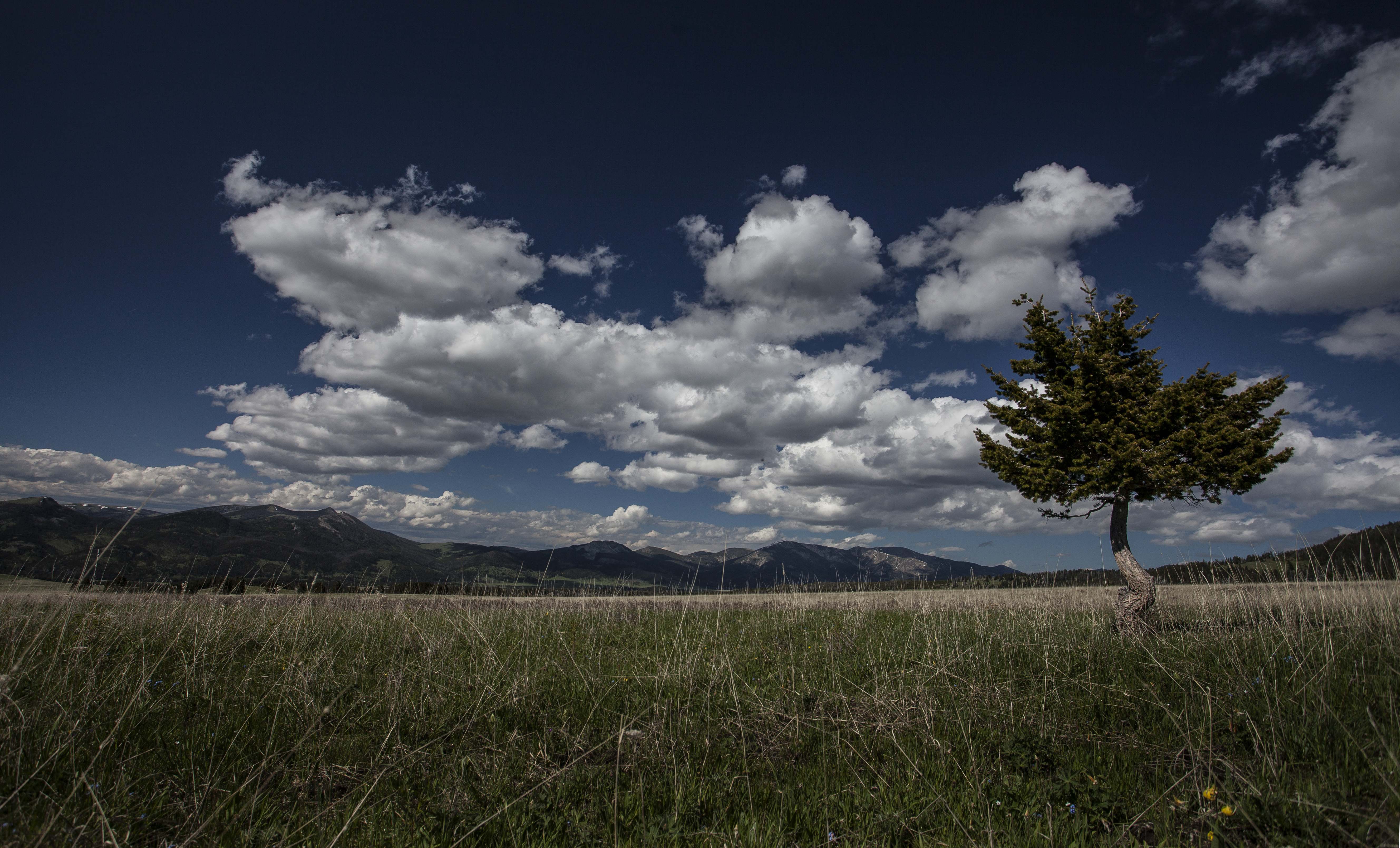
One Lone Tree

Ground Blizzard
Topographic Map of Two Dot Hwy, Twodot, MT, USA
Find elevation by address:

Places near Two Dot Hwy, Twodot, MT, USA:
Crazy Mountains
Campfire Lake
Wilsall
Ringling
157 Chapel Rd
Clyde Park
1st St E, Clyde Park, MT, USA
21 Shields River Rd E
485 Nixon Peak Rd
600 Middle Skunk Creek Rd
5000 Petterson Rd
16530 Brackett Creek Rd
1800 Skunk Creek Rd
Springville Ln, Townsend, MT, USA
14835 Brackett Creek Rd
300 Solitude Ln
41 Serenity Ln
270 Falling Star Rd
Swingley Rd, Livingston, MT, USA
64 Mountain View Trail
Recent Searches:
- Elevation of Doe Cir, Clinton, OH, USA
- Elevation of Narhe, Pune, Maharashtra, India
- Elevation of Martins Mill Ct, Eagle Rock, NC, USA
- Elevation of Kippen, Stirling FK8, UK
- Elevation of Sieveringer Straße, Sieveringer Str., Wien, Austria
- Elevation of Bratskaya Ulitsa, 24, Kurgan, Kurganskaya oblast', Russia
- Elevation of Paradisvegen, Biri, Norway
- Elevation of Crystal Cir, Birmingham, AL, USA
- Elevation of N Railroad Ave, West Palm Beach, FL, USA
- Elevation of 55 Cassick Valley Rd, Wellfleet, MA, USA