Elevation of Springville Ln, Townsend, MT, USA
Location: United States > Montana > Meagher County >
Longitude: -110.99735
Latitude: 46.2147
Elevation: 1525m / 5003feet
Barometric Pressure: 84KPa
Elevation Map:
Satellite Map:
Related Photos:
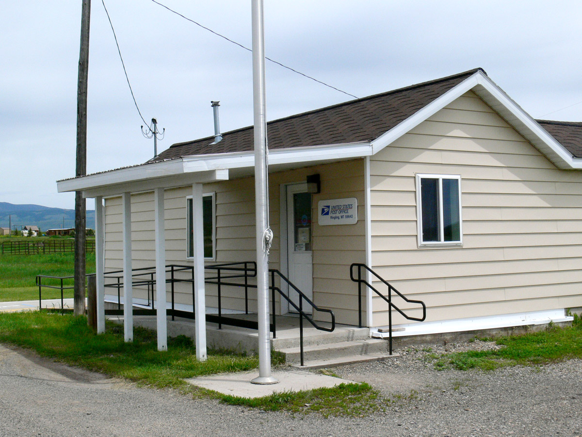
6-24-11 Ringling,MT
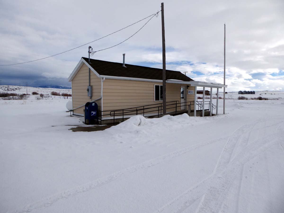
Ringling, Montana 59642
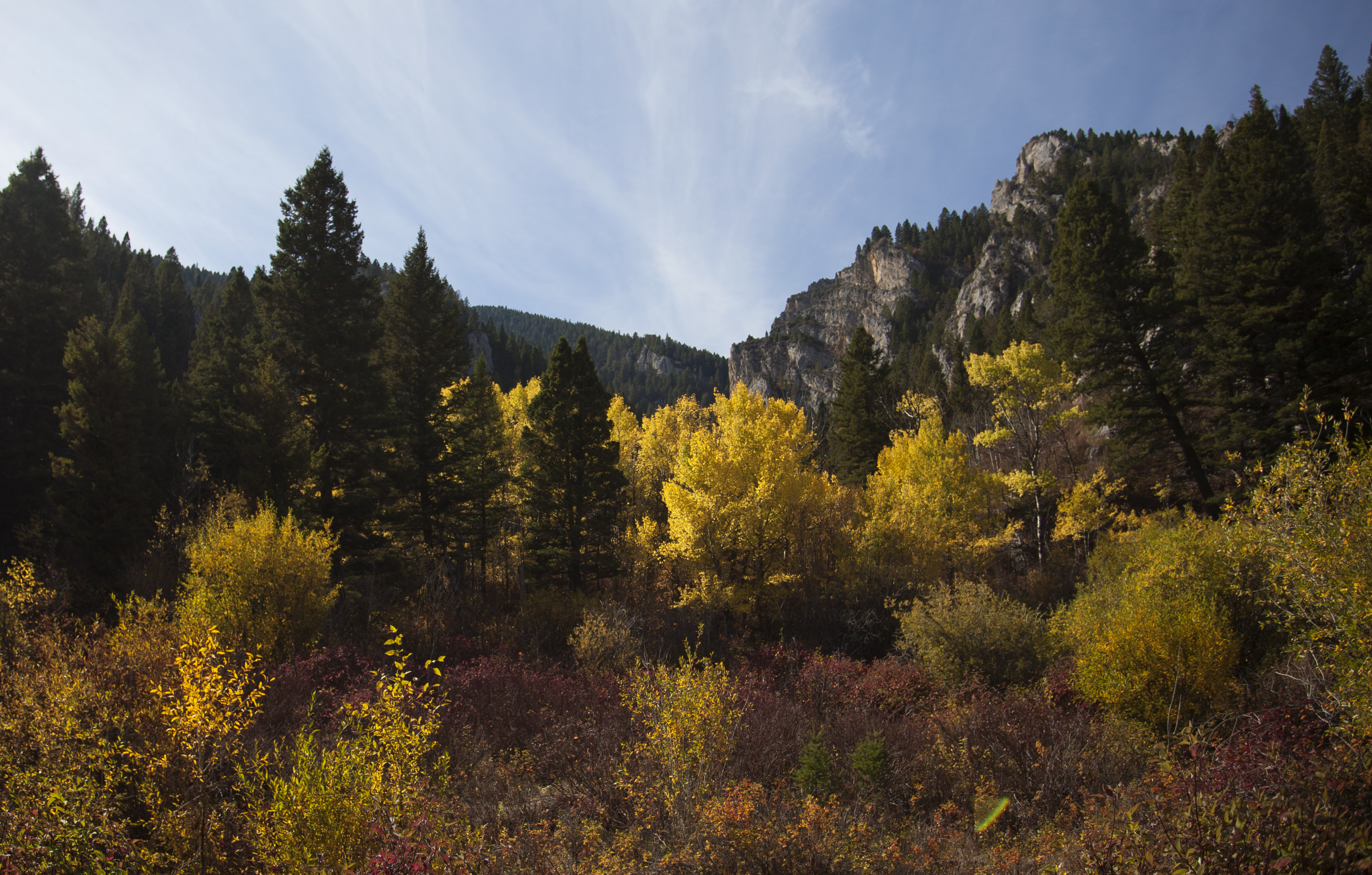
Bridger Mountain Autumn
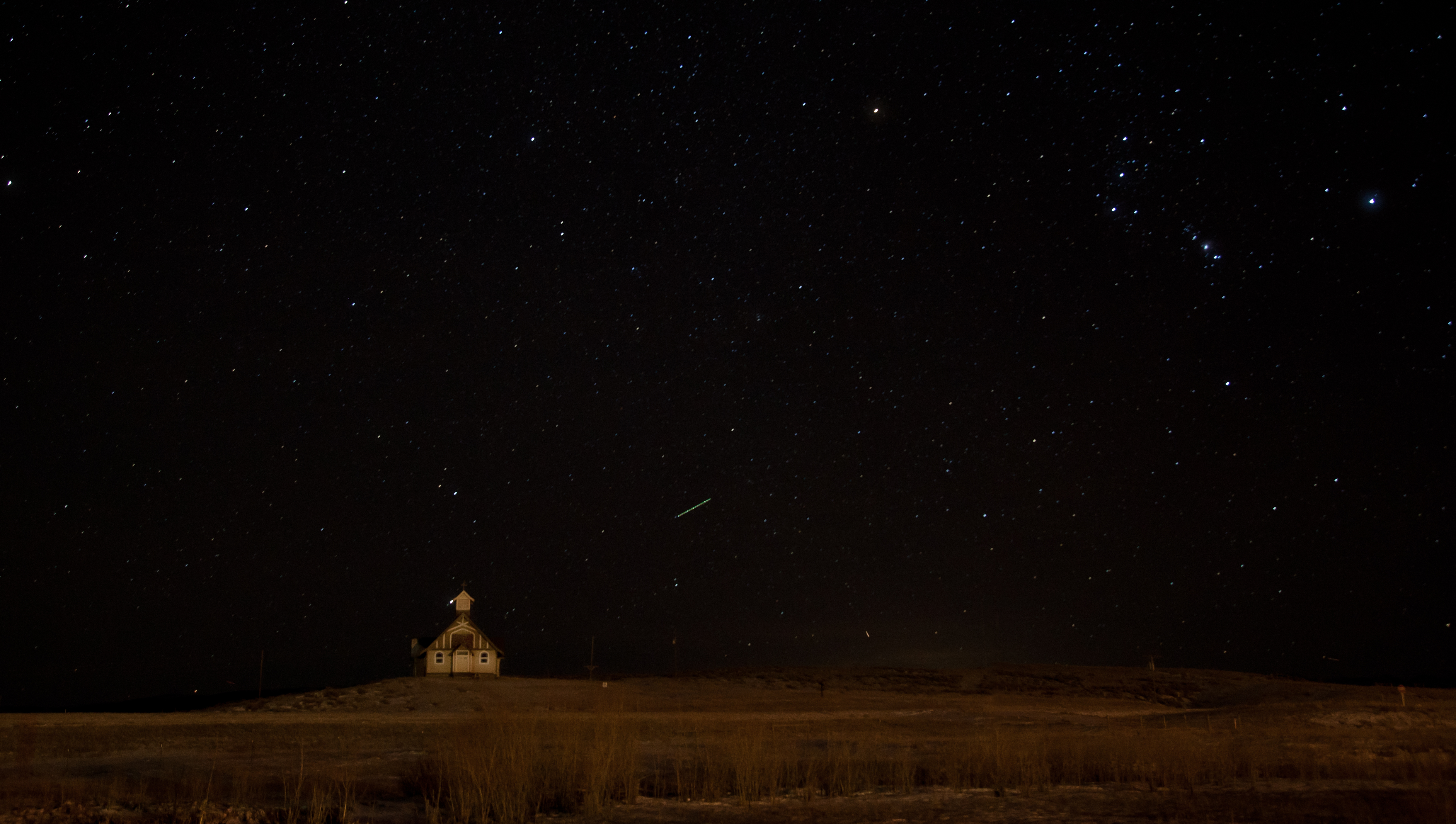
Ringling Church at Night

Real Estate
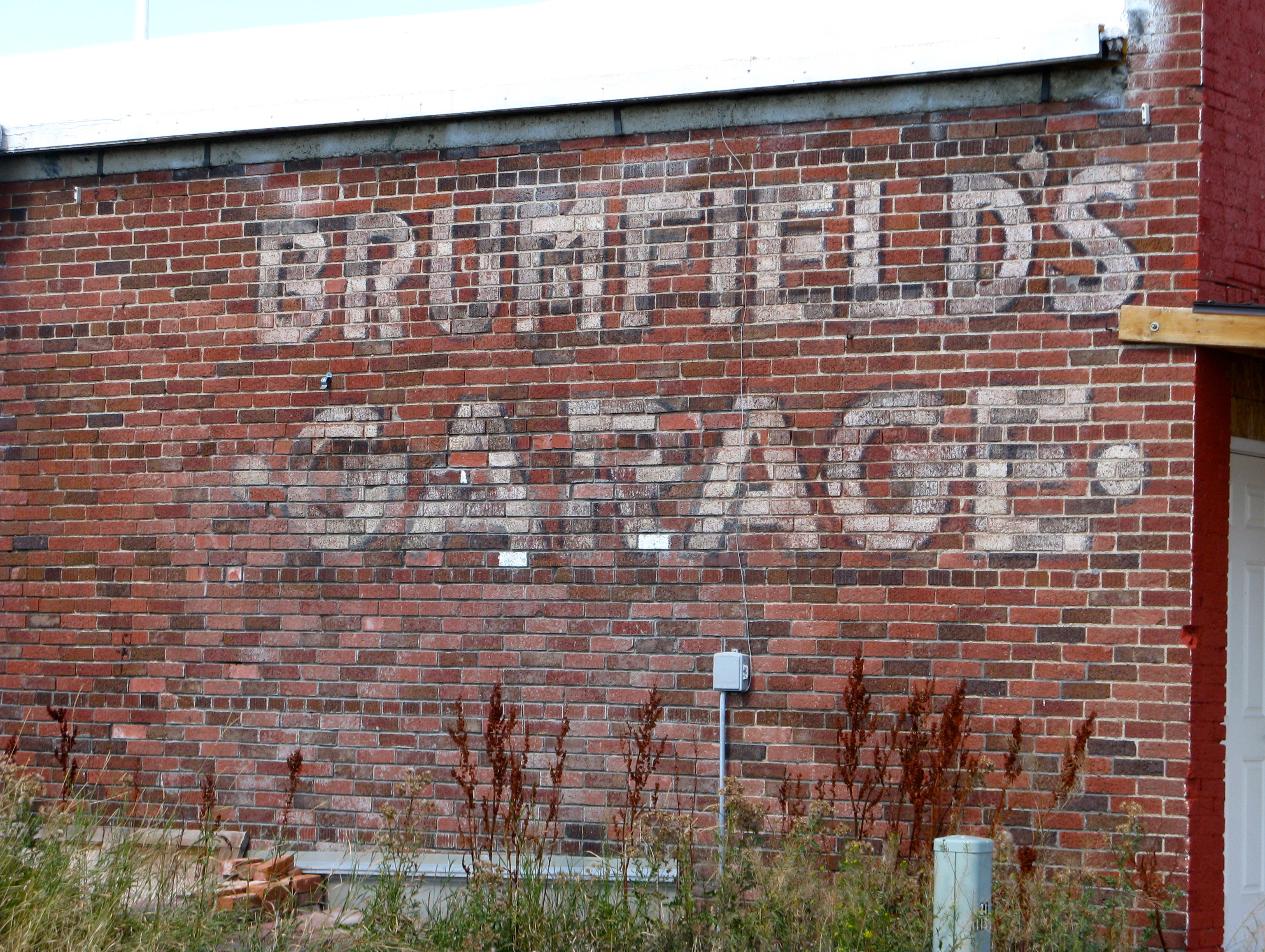
Ghost Sign. Ringling,Montana
6-24-11 Ringling,MT
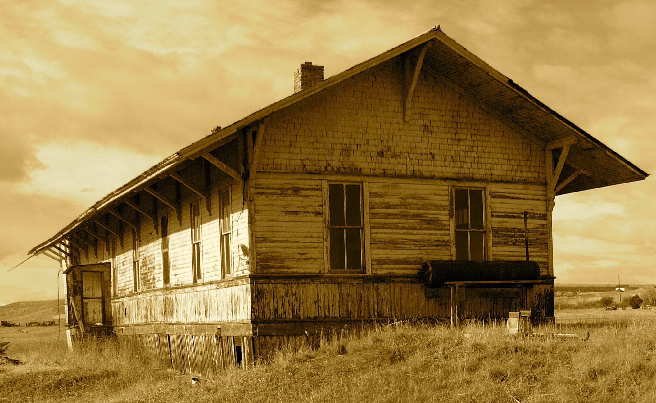
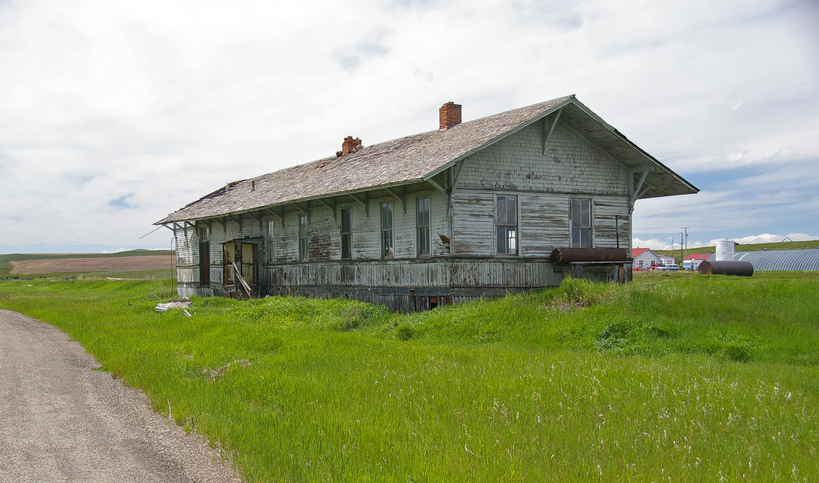
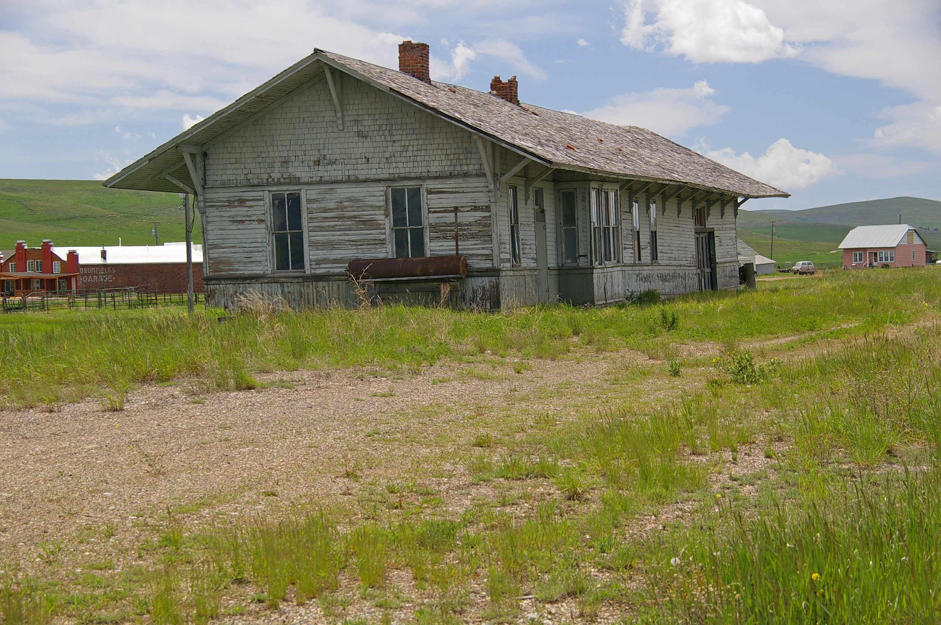
Milwaukee Road Depot, Ringling,Montana
Ringling, Montana 59642
Topographic Map of Springville Ln, Townsend, MT, USA
Find elevation by address:

Places near Springville Ln, Townsend, MT, USA:
Francis Rd, Belgrade, MT, USA
64 Mountain View Trail
21 Hitching Post Rd
35 Elk Haven Ct
Pine Hill Drive
9 Pine Hill Dr
Ringling
Horse Mountain
5000 Petterson Rd
Bridger Range
14337 Rocky Mountain Rd
14835 Brackett Creek Rd
16530 Brackett Creek Rd
485 Nixon Peak Rd
41 Serenity Ln
300 Solitude Ln
270 Falling Star Rd
Wilsall
1800 Skunk Creek Rd
Bridger Bowl Ski Area
Recent Searches:
- Elevation of Corso Fratelli Cairoli, 35, Macerata MC, Italy
- Elevation of Tallevast Rd, Sarasota, FL, USA
- Elevation of 4th St E, Sonoma, CA, USA
- Elevation of Black Hollow Rd, Pennsdale, PA, USA
- Elevation of Oakland Ave, Williamsport, PA, USA
- Elevation of Pedrógão Grande, Portugal
- Elevation of Klee Dr, Martinsburg, WV, USA
- Elevation of Via Roma, Pieranica CR, Italy
- Elevation of Tavkvetili Mountain, Georgia
- Elevation of Hartfords Bluff Cir, Mt Pleasant, SC, USA