Elevation of Pine Hill Drive, Pine Hill Dr, White Sulphur Springs, MT, USA
Location: United States > Montana > Broadwater County >
Longitude: -111.09080
Latitude: 46.3392921
Elevation: 1972m / 6470feet
Barometric Pressure: 80KPa
Elevation Map:
Satellite Map:
Related Photos:
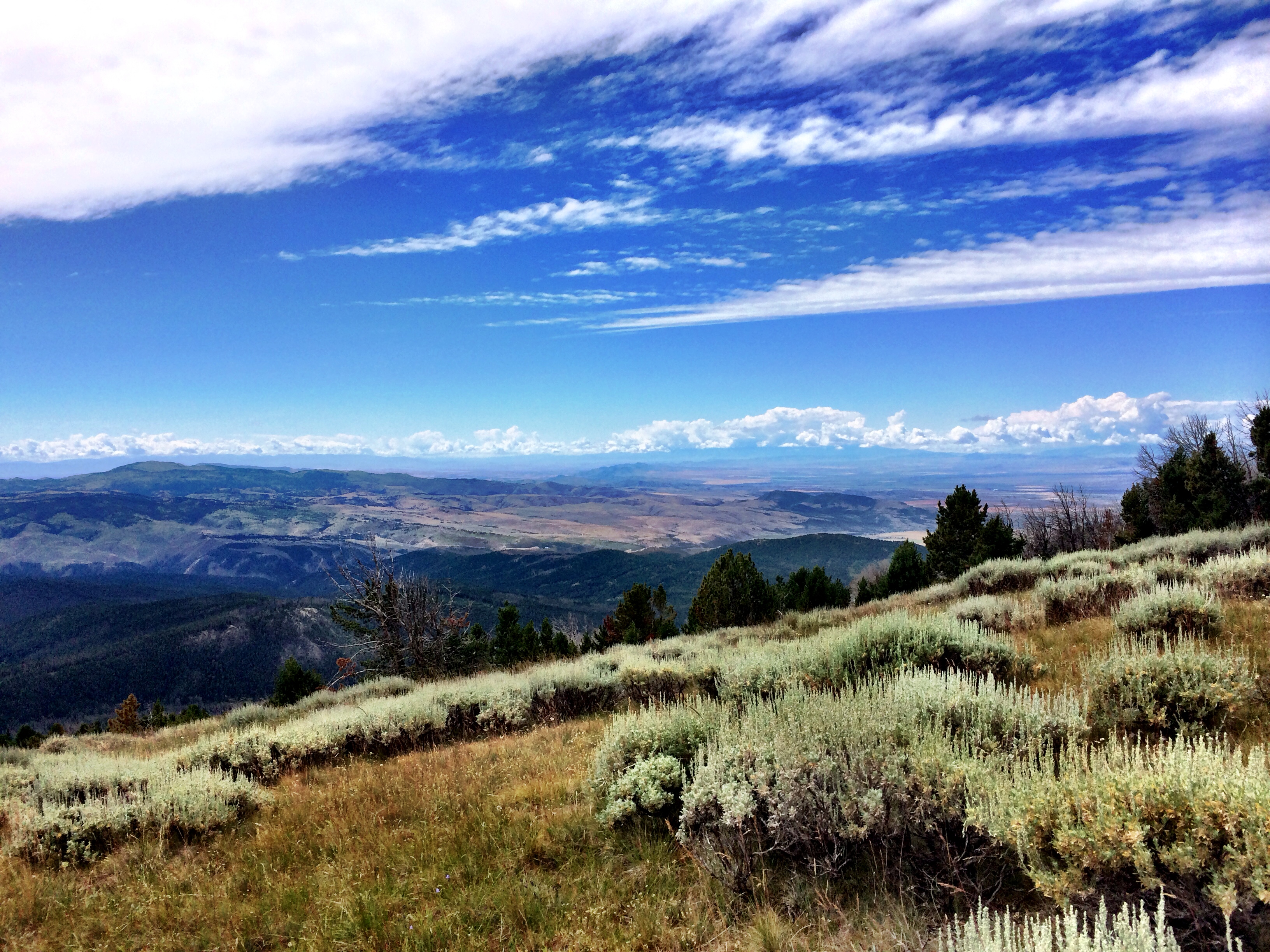
Sagebrush Steppe in the Big Belt Mountains
Private Property

Sheep. Big Belt Mountains. Montana
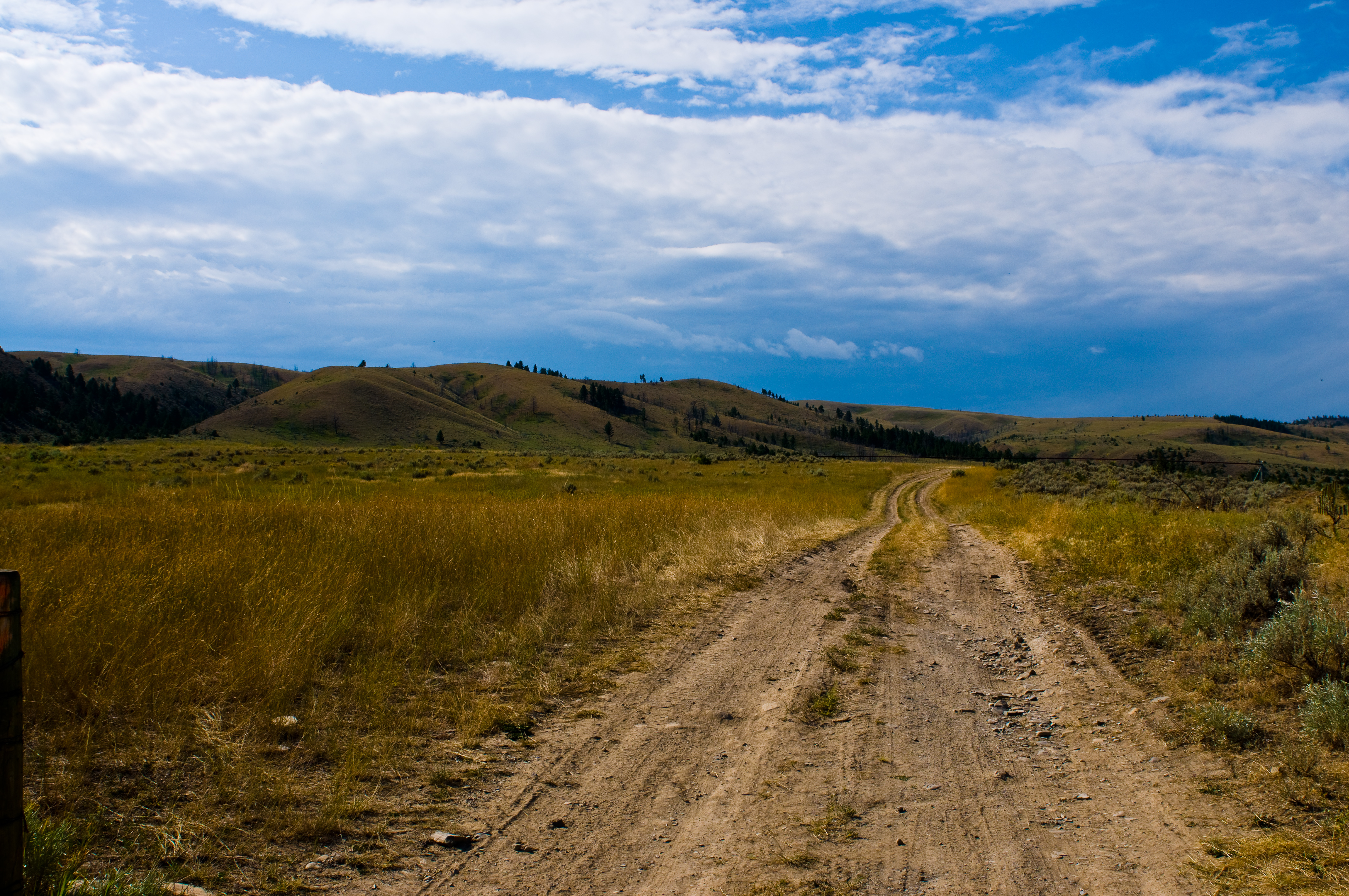
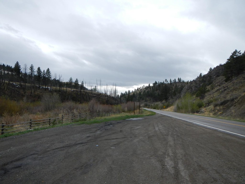
Scenic Route
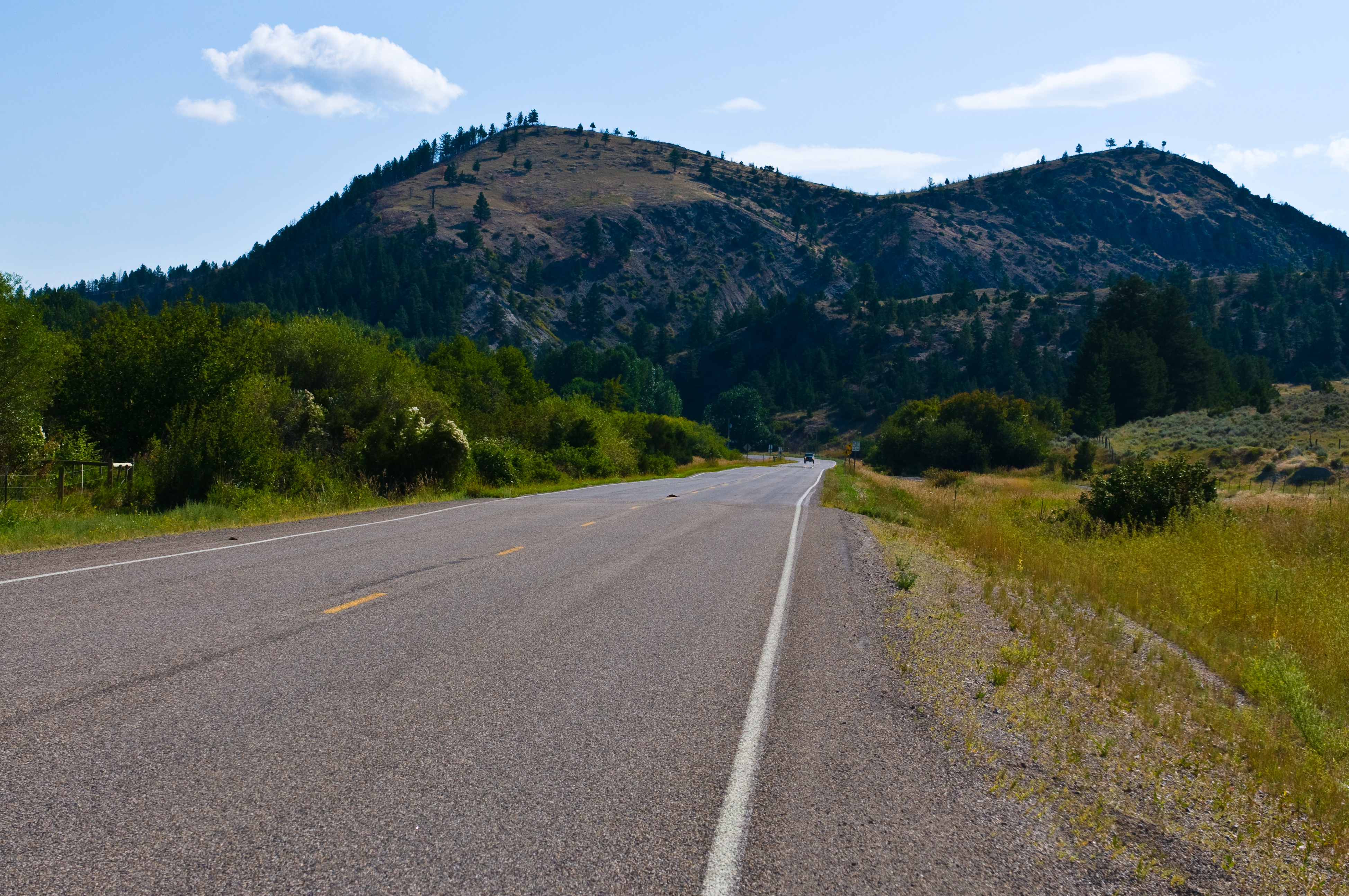
Everyday for 7 Weeks - Day3 - Billings to Missoula
Everyday for 7 Weeks - Day3 - Billings to Missoula
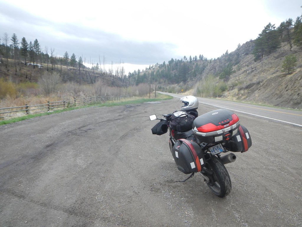
Everyday for 7 Weeks - Day3 - Billings to Missoula
Everyday for 7 Weeks - Day3 - Billings to Missoula
Everyday for 7 Weeks - Day3 - Billings to Missoula
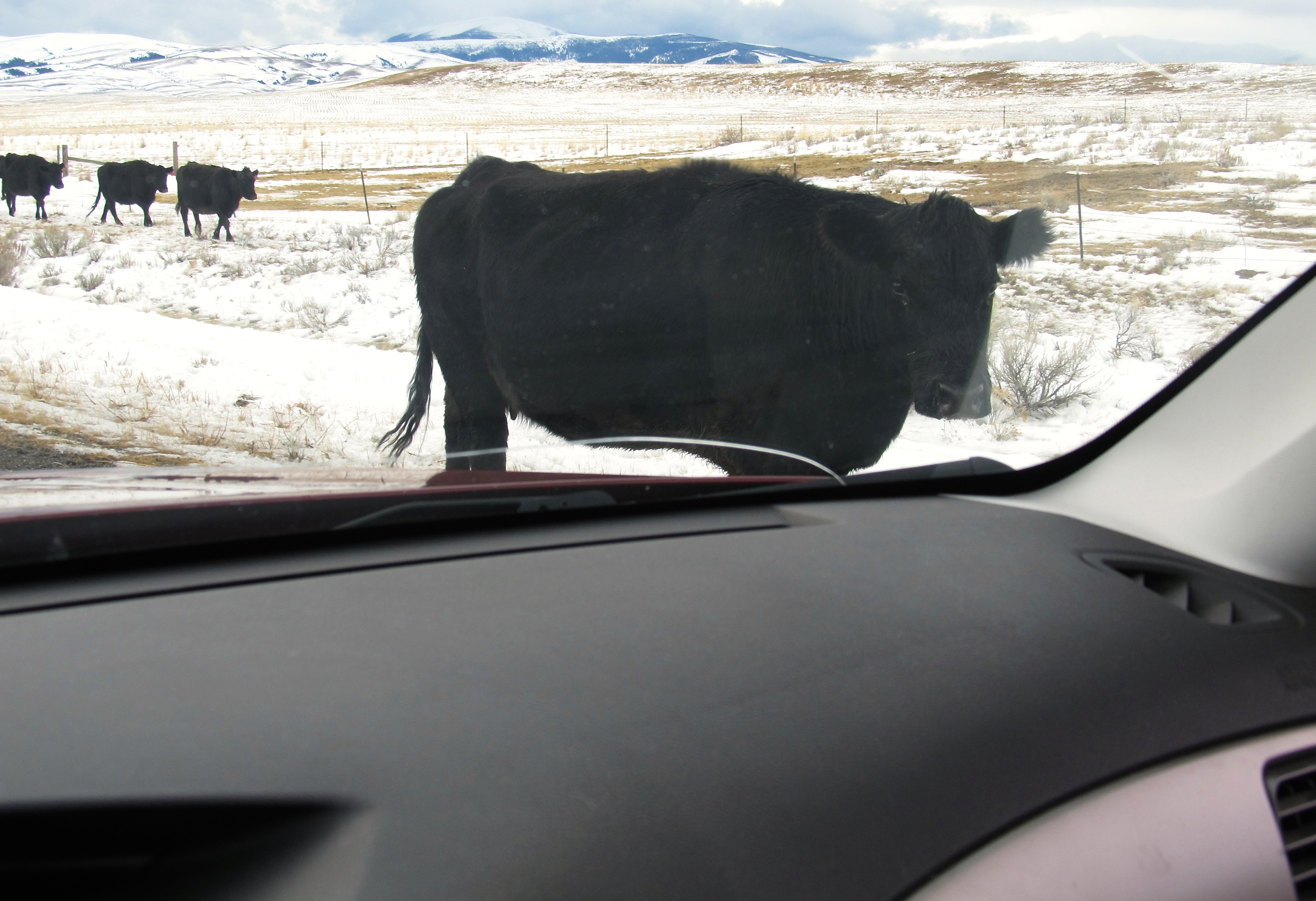
Moving cows. Montana
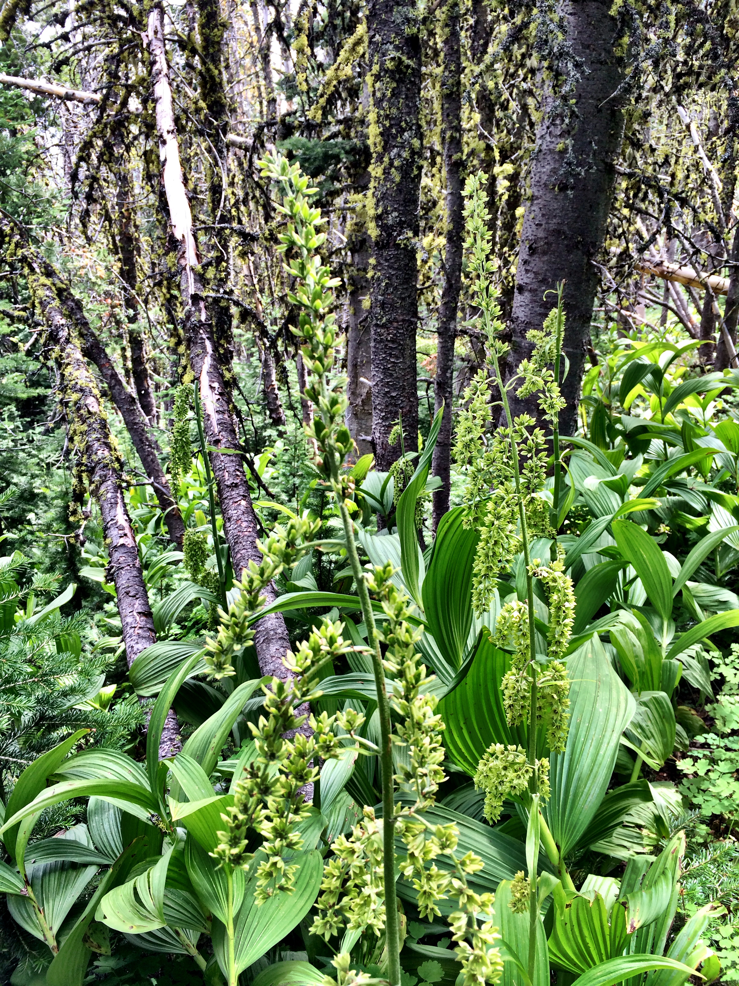
American False Hellebore

Smallflower woodland-star
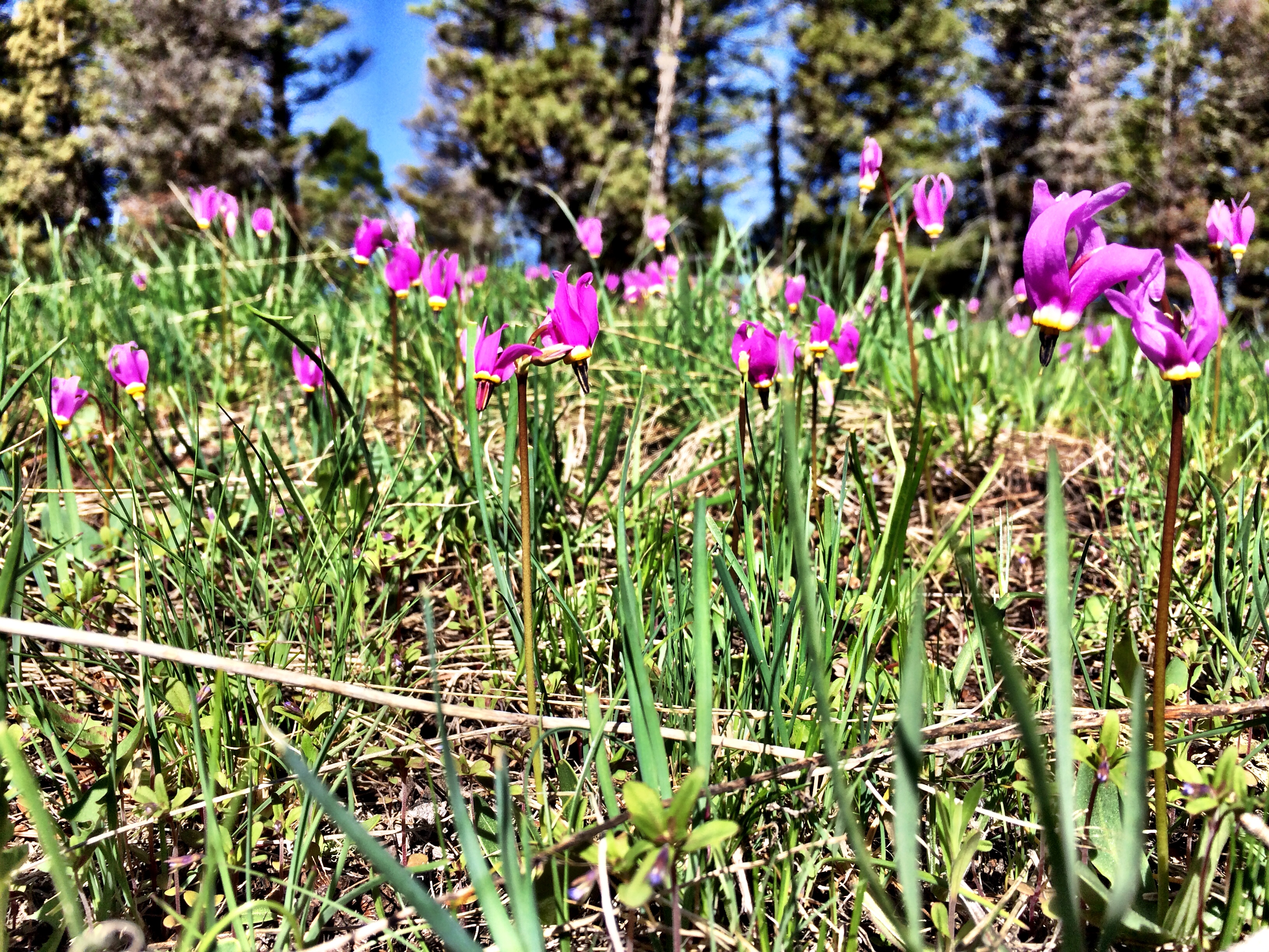
Bonneville Shooting Star, Slimpod Shooting Star
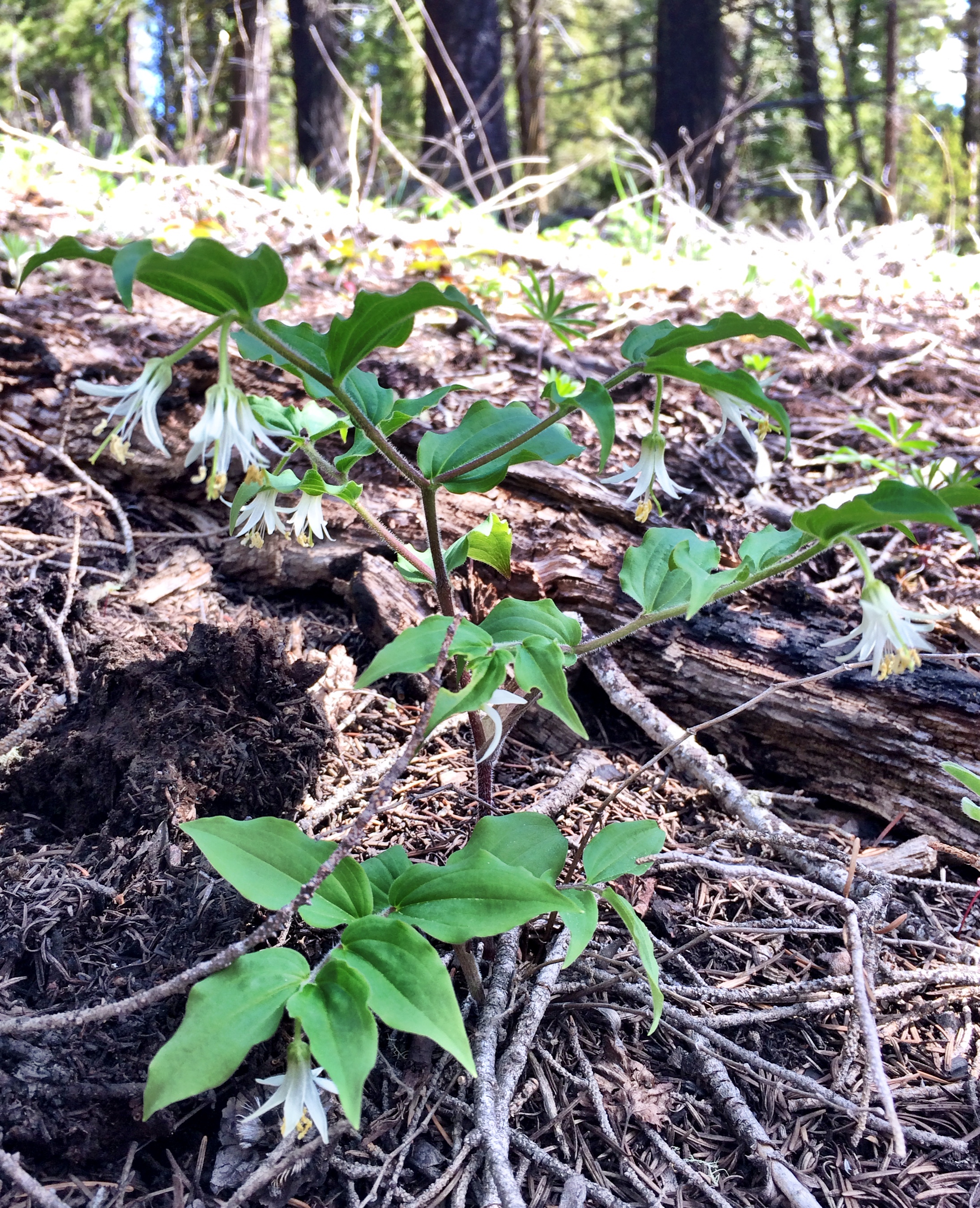
Rough-fruited Fairy Bell
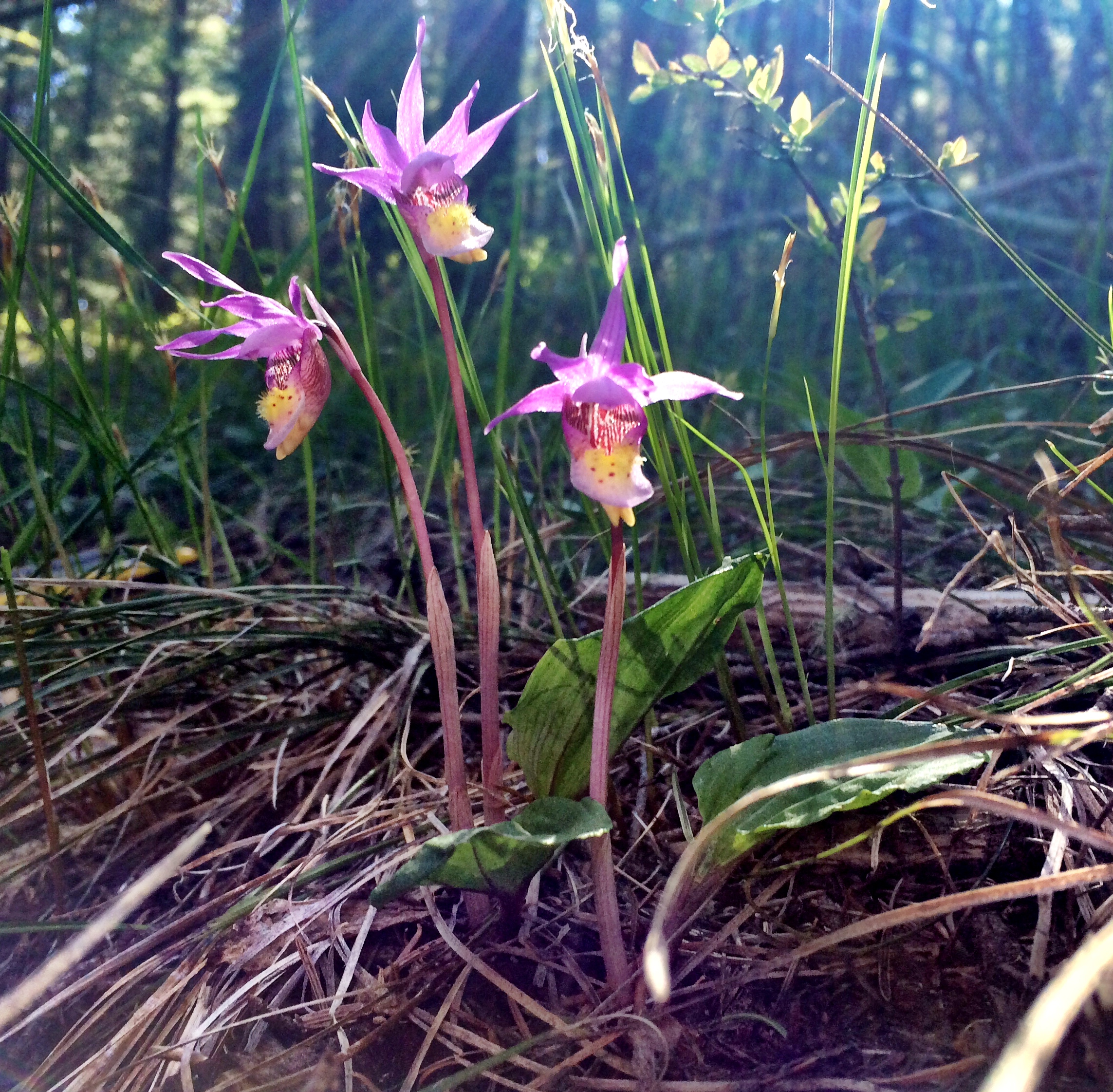
Calypso Orchid, Fairy Slipper
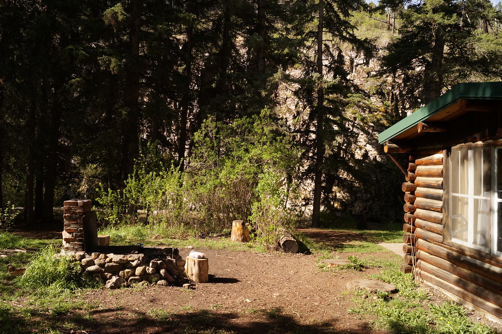
Rillway cabin along Deep Creek. Near Townsend Montana.
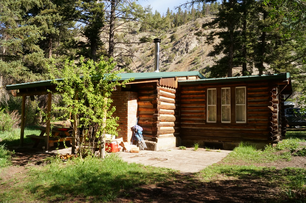
Rillway cabin near Townsend Montana

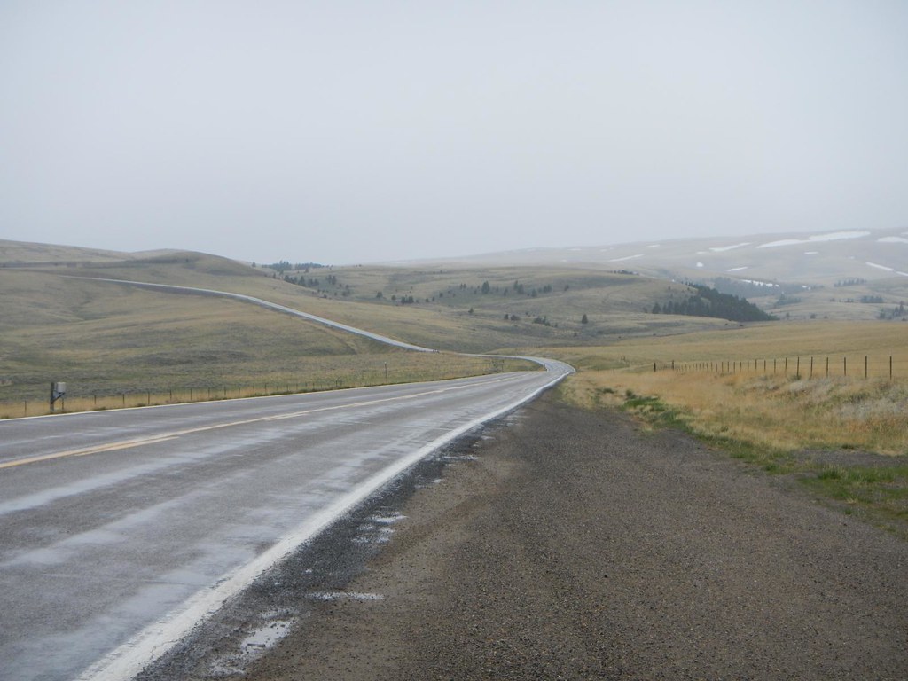
Hang a right and head straight on home to Canada

Real Estate
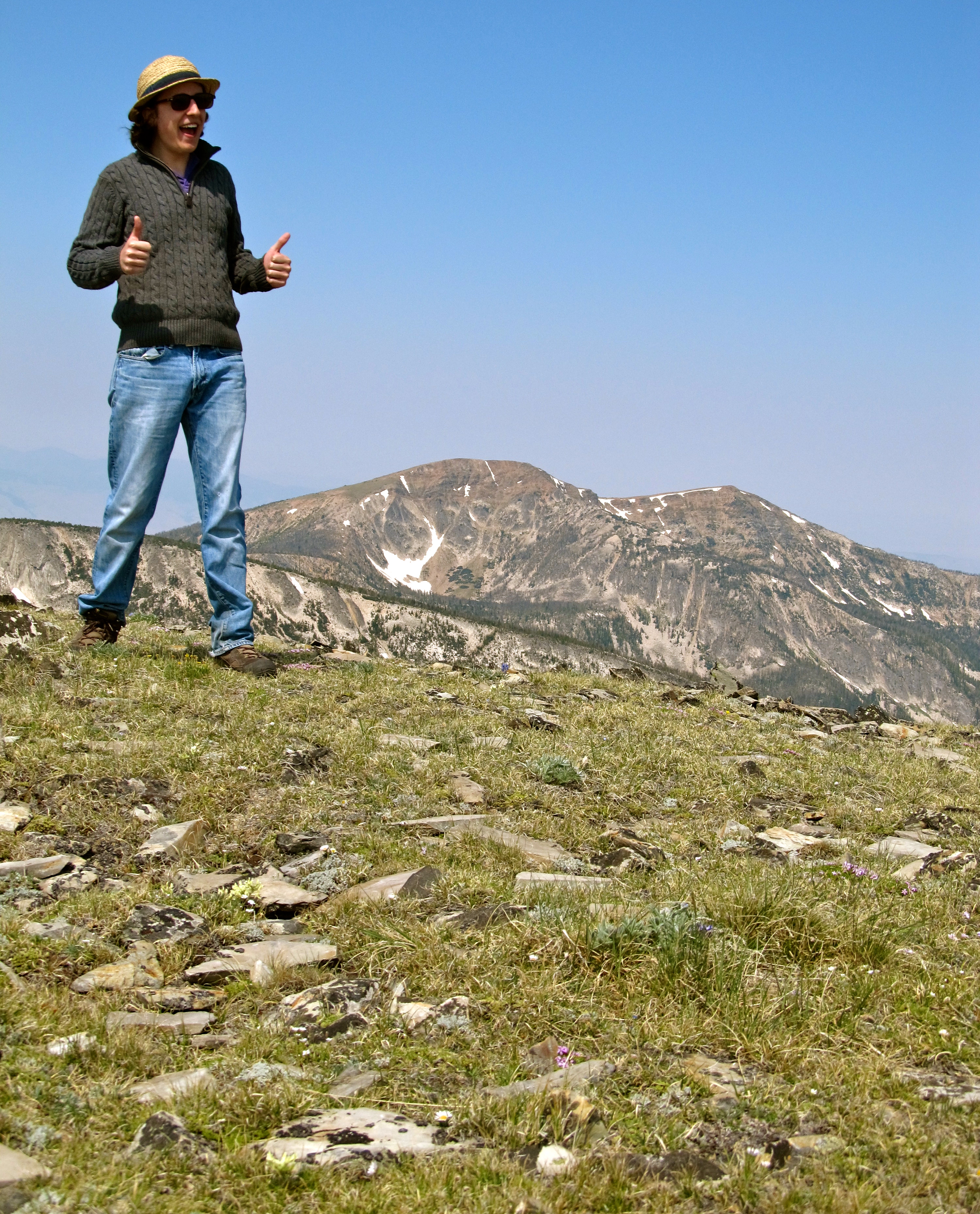
Kael on Mount Edith. Montana
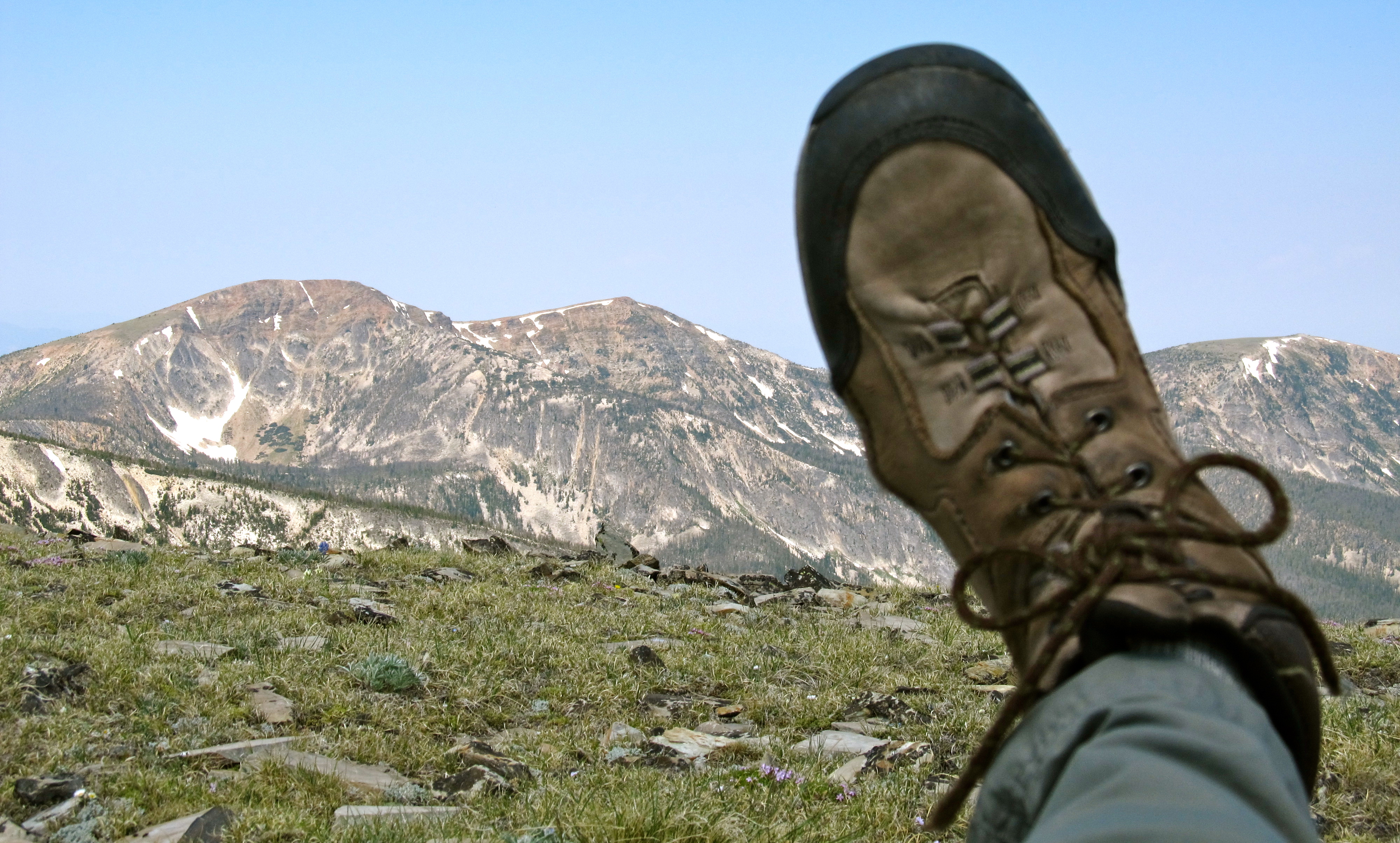
My left boot and Mount Baldy. Montana
Topographic Map of Pine Hill Drive, Pine Hill Dr, White Sulphur Springs, MT, USA
Find elevation by address:

Places near Pine Hill Drive, Pine Hill Dr, White Sulphur Springs, MT, USA:
9 Pine Hill Dr
35 Elk Haven Ct
21 Hitching Post Rd
64 Mountain View Trail
Springville Ln, Townsend, MT, USA
Francis Rd, Belgrade, MT, USA
Ringling
Horse Mountain
5000 Petterson Rd
14337 Rocky Mountain Rd
Bridger Range
14835 Brackett Creek Rd
41 Serenity Ln
300 Solitude Ln
270 Falling Star Rd
16530 Brackett Creek Rd
485 Nixon Peak Rd
5910 Batchweave Rd
Wilsall
Bridger Bowl Ski Area
Recent Searches:
- Elevation of 64 Danakas Dr, Winnipeg, MB R2C 5N7, Canada
- Elevation of 4 Vale Rd, Sheffield S3 9QX, UK
- Elevation of Keene Point Drive, Keene Point Dr, Grant, AL, USA
- Elevation of State St, Zanesville, OH, USA
- Elevation of Austin Stone Dr, Haslet, TX, USA
- Elevation of Bydgoszcz, Poland
- Elevation of Bydgoszcz, Poland
- Elevation of Calais Dr, Del Mar, CA, USA
- Elevation of Placer Mine Ln, West Jordan, UT, USA
- Elevation of E 63rd St, New York, NY, USA