Elevation of Twin Peaks, Montana, USA
Location: United States > Montana > Nye >
Longitude: -109.88934
Latitude: 45.2513298
Elevation: 3558m / 11673feet
Barometric Pressure: 65KPa
Elevation Map:
Satellite Map:
Related Photos:
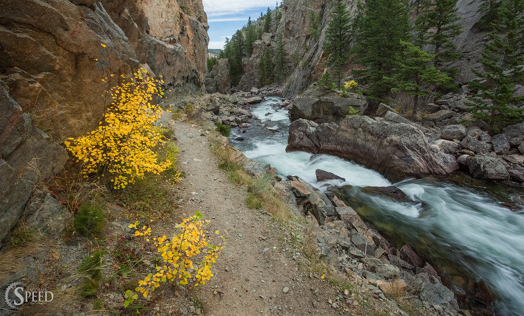
Hiking Trail along the Stillwater River
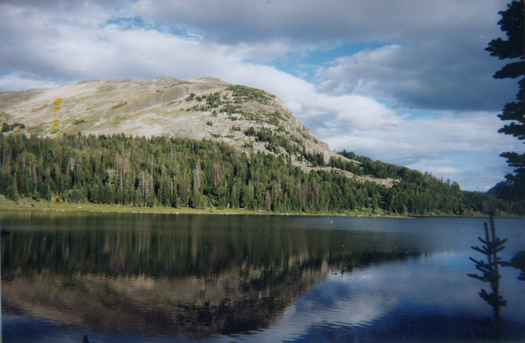
Wounded Man Lake

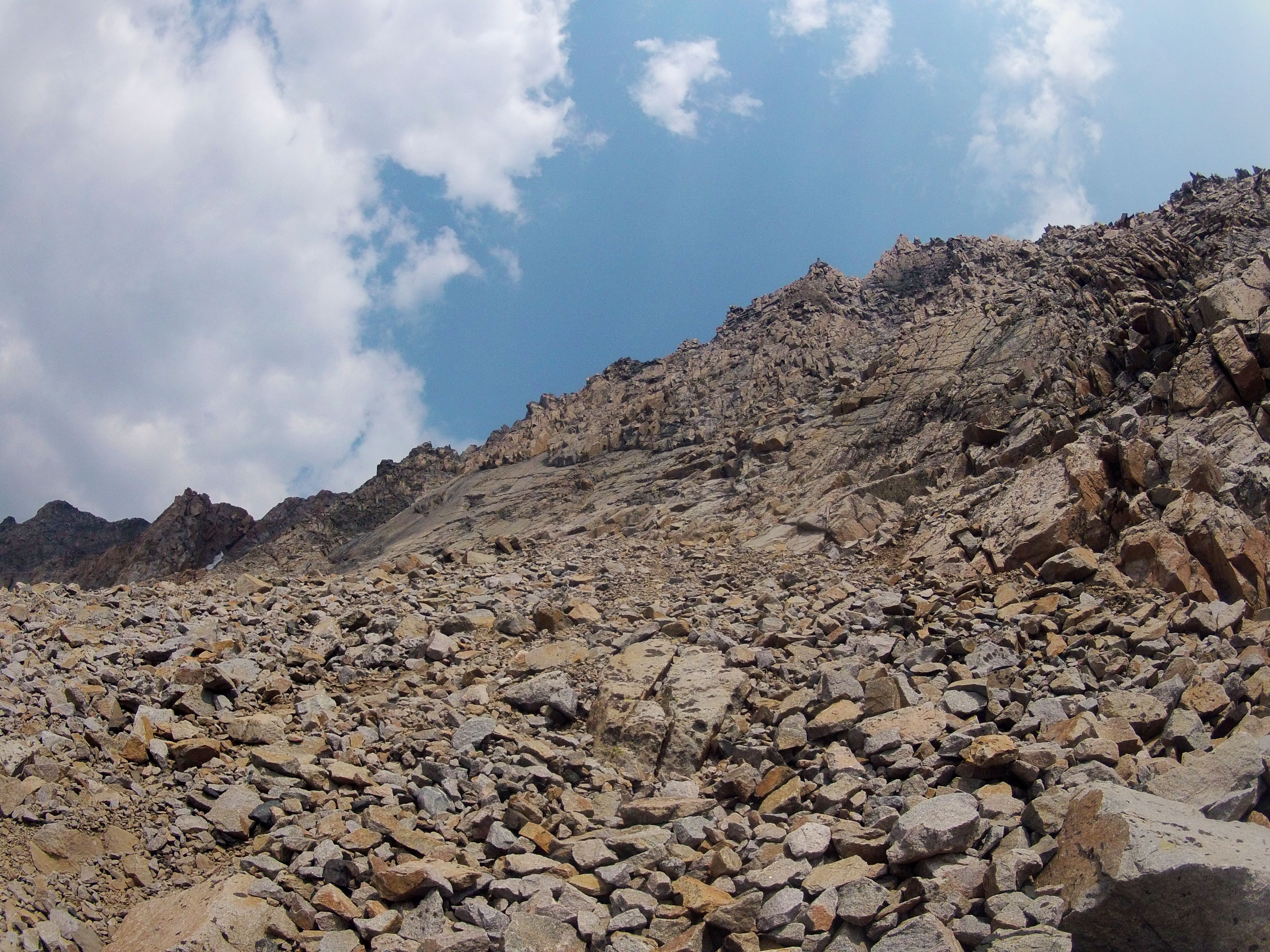
Southwest Couloir Route
How about Straight up?
SW Couloir from Bottom
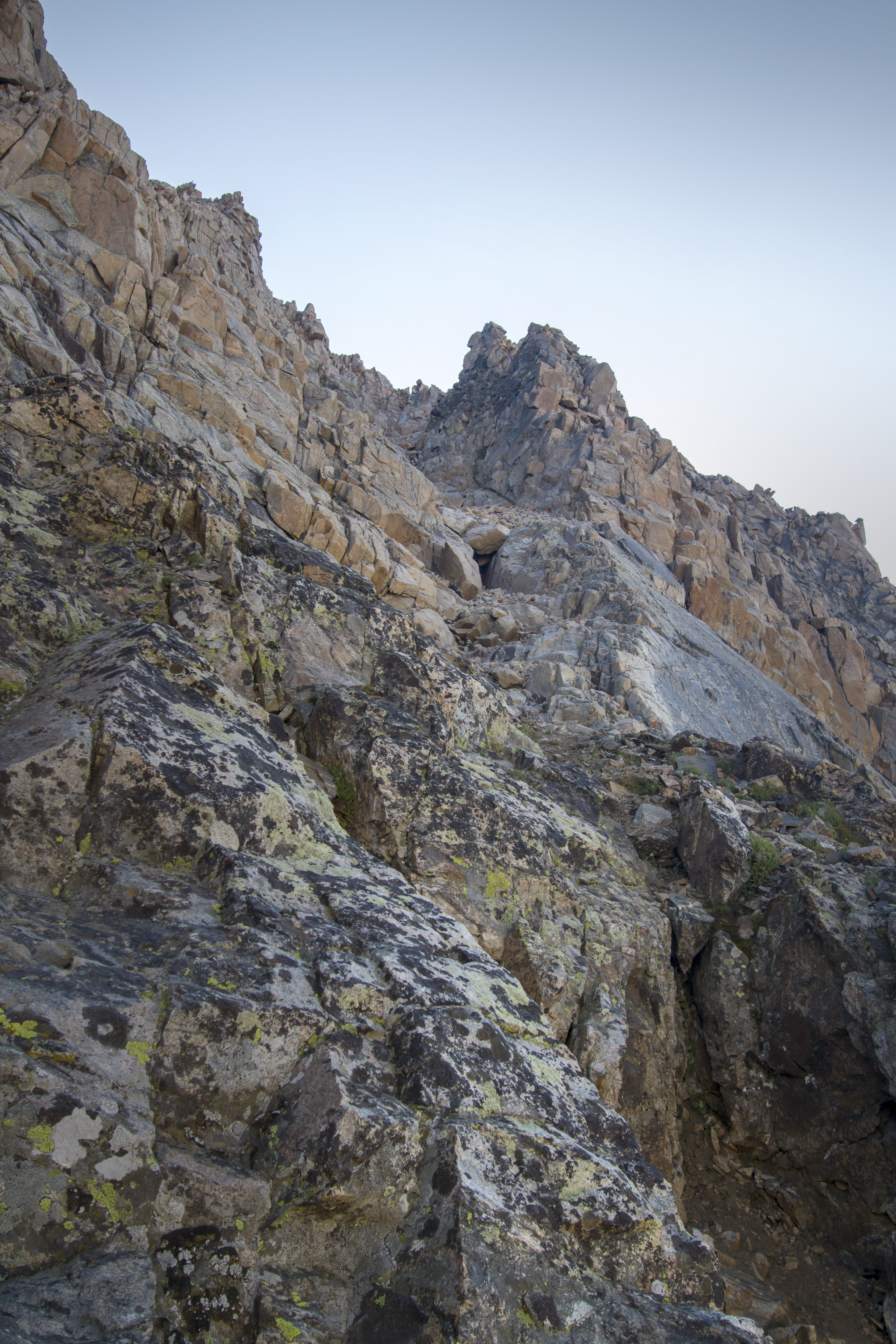
Looking Straight Up the Wall
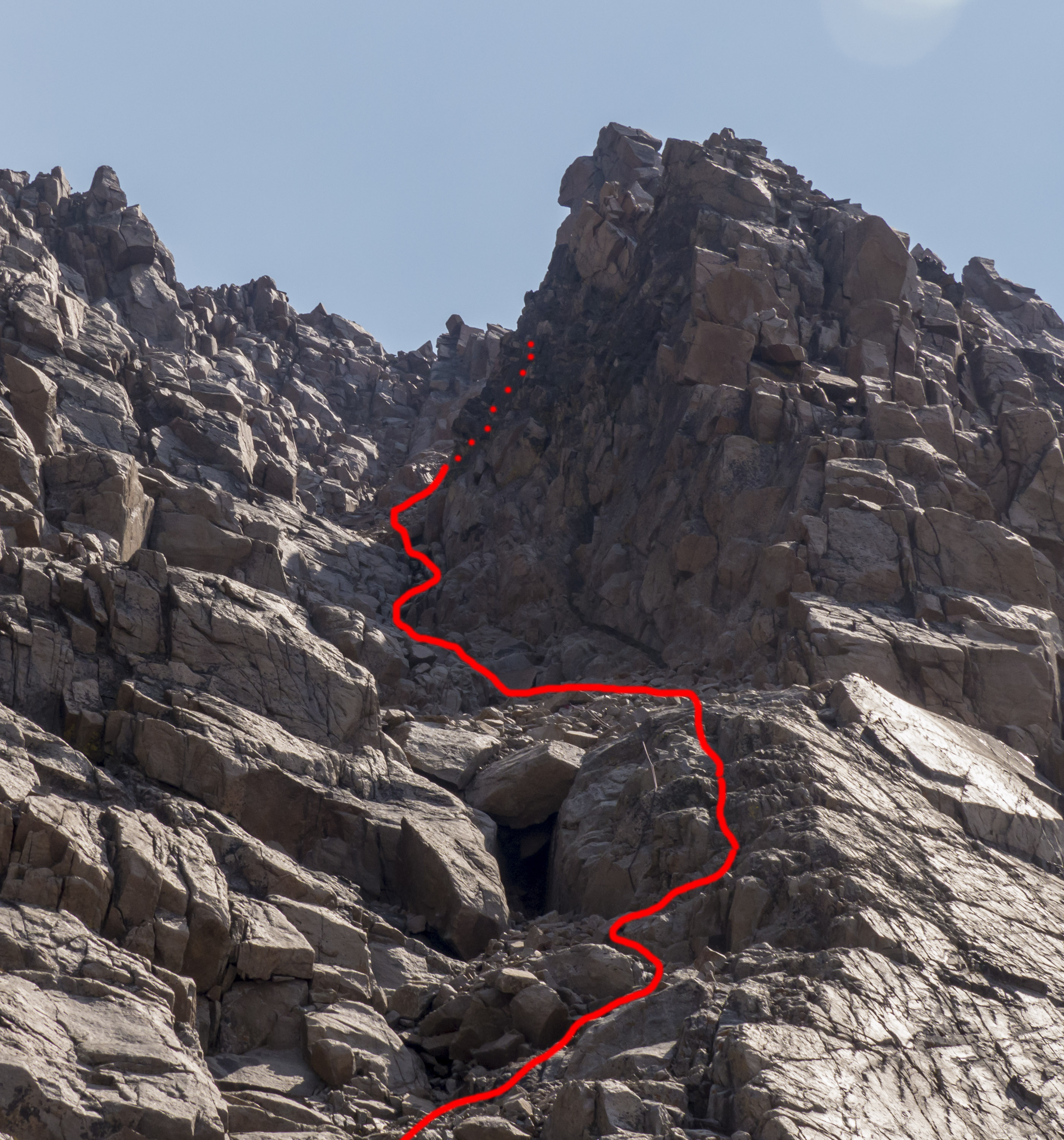
Southwest Couloir Route

First View of Granite between The Spires and Point 11,379'
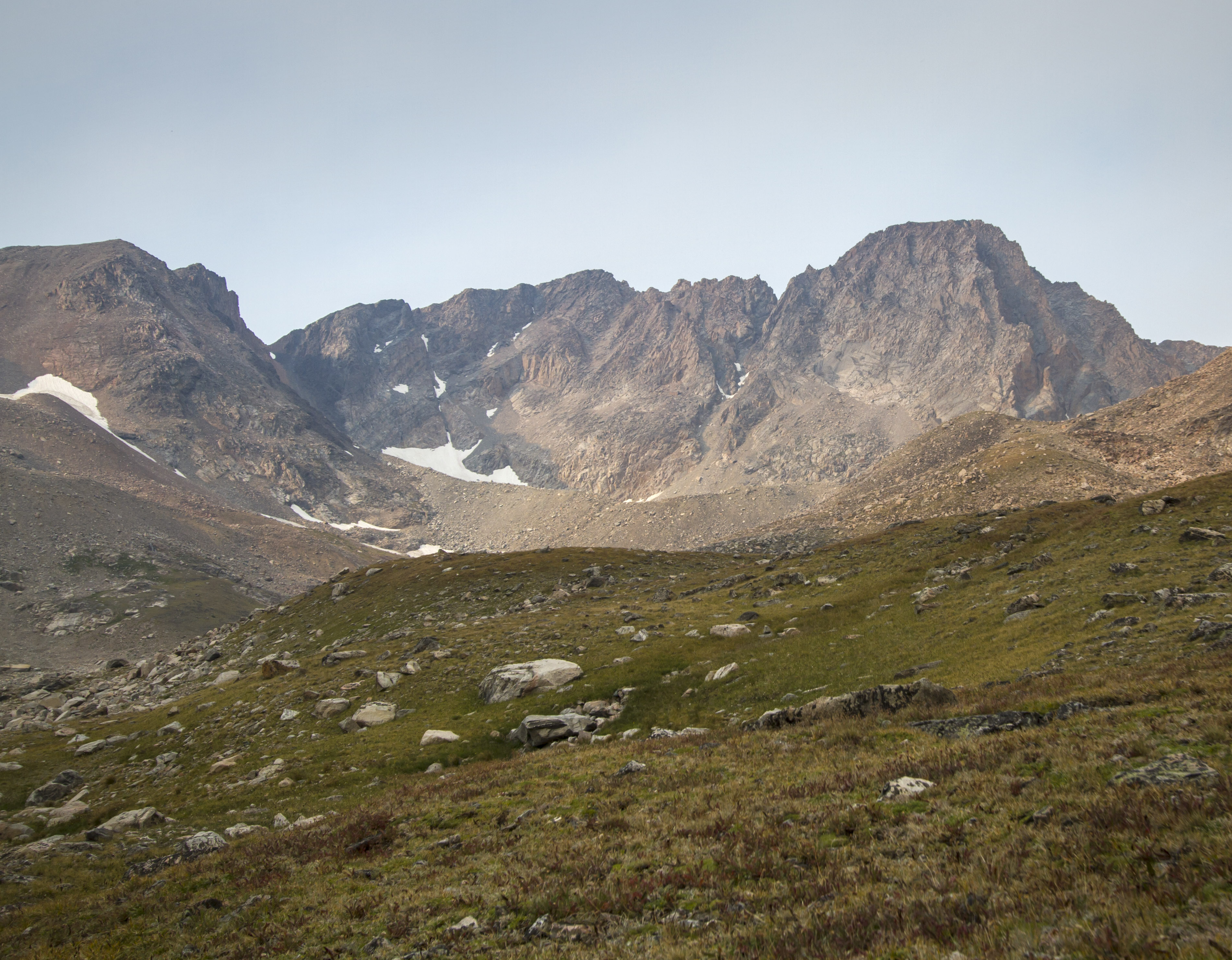
Granite Peak as seen from Camp Two

Granite Headwall Megapanorama
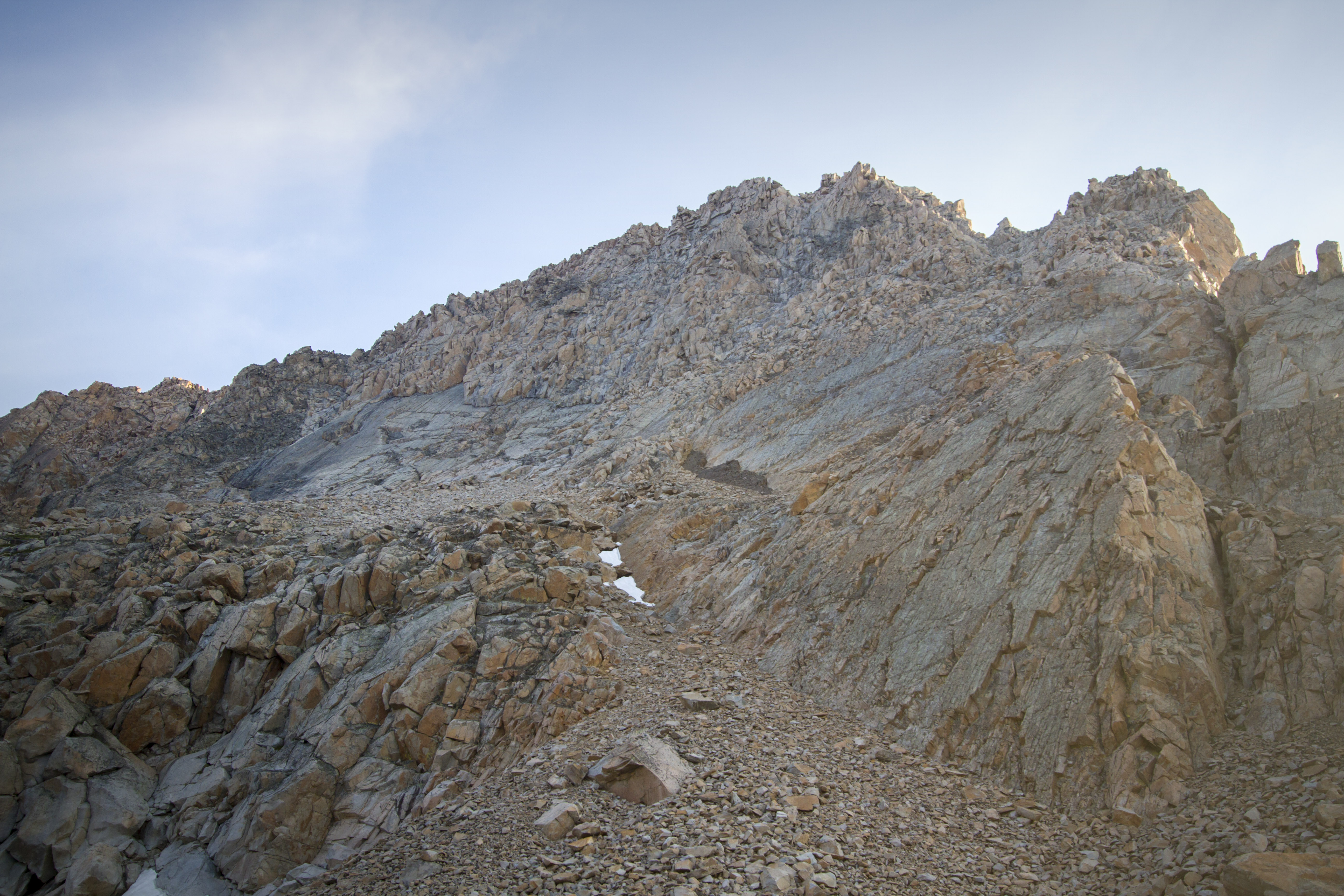
Granite Peak's Headwall
Topographic Map of Twin Peaks, Montana, USA
Find elevation by address:

Places near Twin Peaks, Montana, USA:
Mystic Lake
Granite Peak
Beartooth Mountains
2562 Nye Rd
Wildcat Mountain
Absarokee High School
81 C M R Trail
43 Sioux Trail
Nye
62 Trinity Trail
65 Sawmill Rd
Colter Campground
25 Sawmill Rd
66 Harmony Ln
16 Little Rocky Creek Rd
16 Little Rocky Creek Rd
Wolverine Peak
Alpine Motel
Cooke City-silver Gate
Cooke City
Recent Searches:
- Elevation of Corso Fratelli Cairoli, 35, Macerata MC, Italy
- Elevation of Tallevast Rd, Sarasota, FL, USA
- Elevation of 4th St E, Sonoma, CA, USA
- Elevation of Black Hollow Rd, Pennsdale, PA, USA
- Elevation of Oakland Ave, Williamsport, PA, USA
- Elevation of Pedrógão Grande, Portugal
- Elevation of Klee Dr, Martinsburg, WV, USA
- Elevation of Via Roma, Pieranica CR, Italy
- Elevation of Tavkvetili Mountain, Georgia
- Elevation of Hartfords Bluff Cir, Mt Pleasant, SC, USA