Elevation of Mystic Lake, Montana, USA
Location: United States > Montana > Stillwater County > Fishtail >
Longitude: -109.78369
Latitude: 45.2209937
Elevation: 2337m / 7667feet
Barometric Pressure: 76KPa
Elevation Map:
Satellite Map:
Related Photos:
Alpine, Montana
Reflecting Peaks
The Gift that Keeps On Giving!

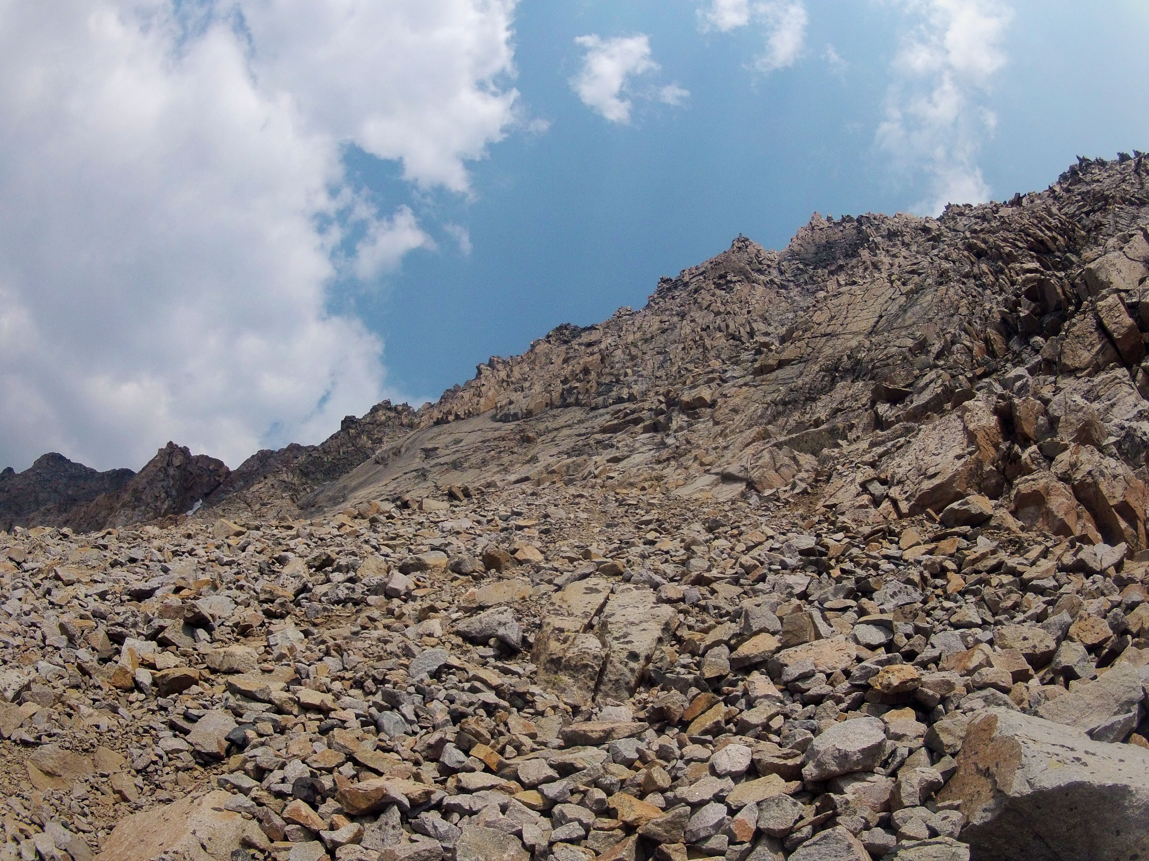
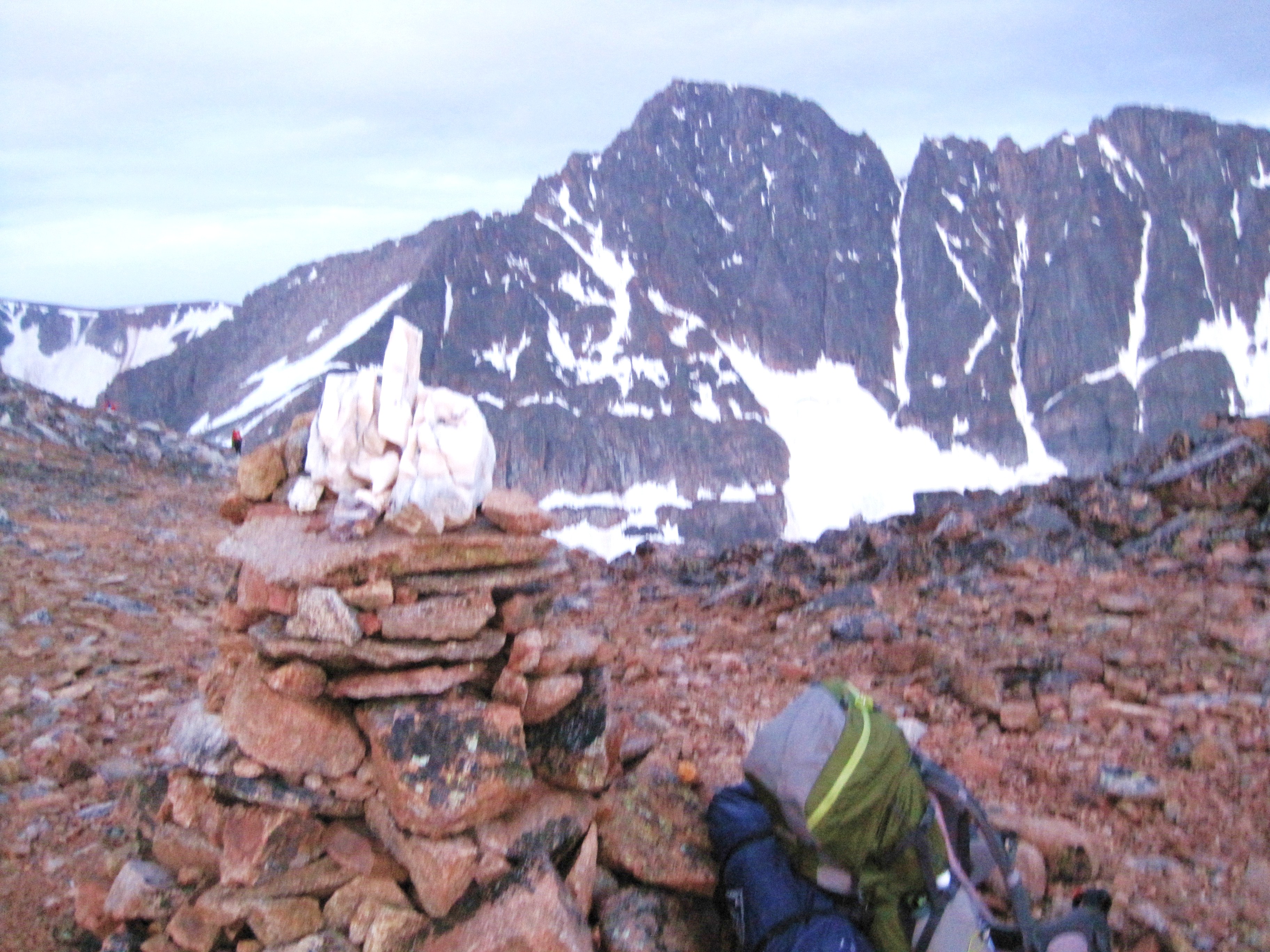
Southwest Couloir Route
Granite Peak Summit Panorama
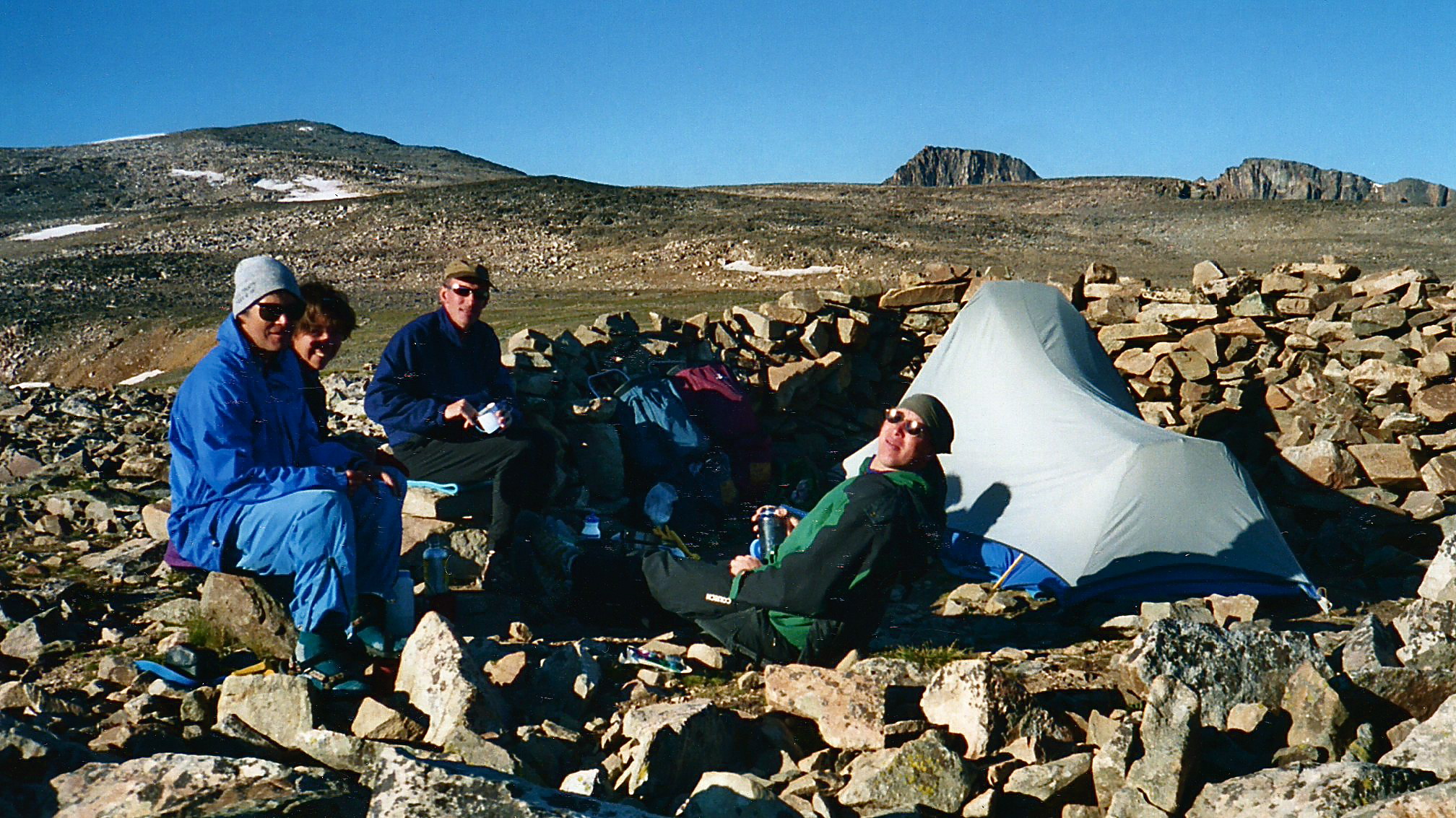
High Pointer Base Camp '03, Granite Peak, Montana
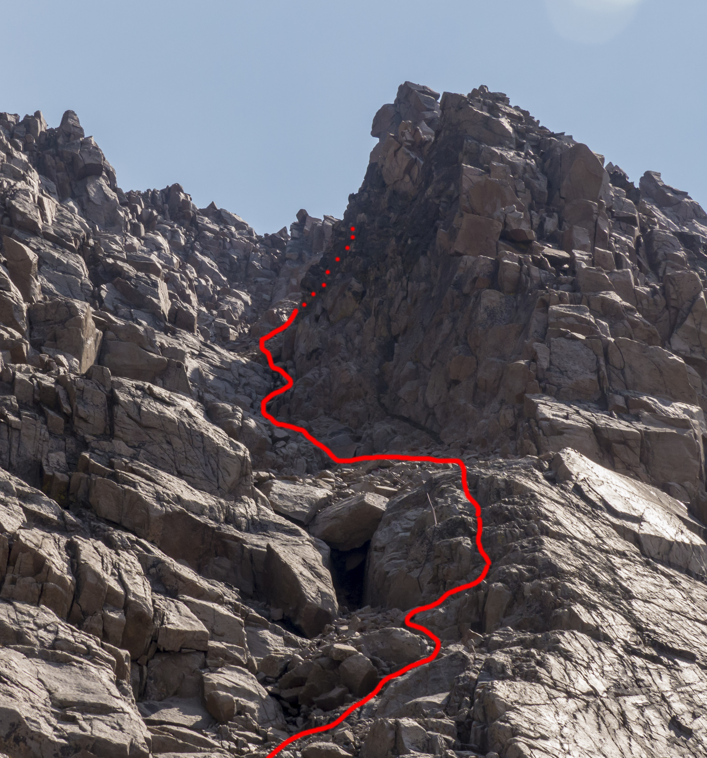
Southwest Couloir Route

First View of Granite between The Spires and Point 11,379'
SW Couloir from Bottom

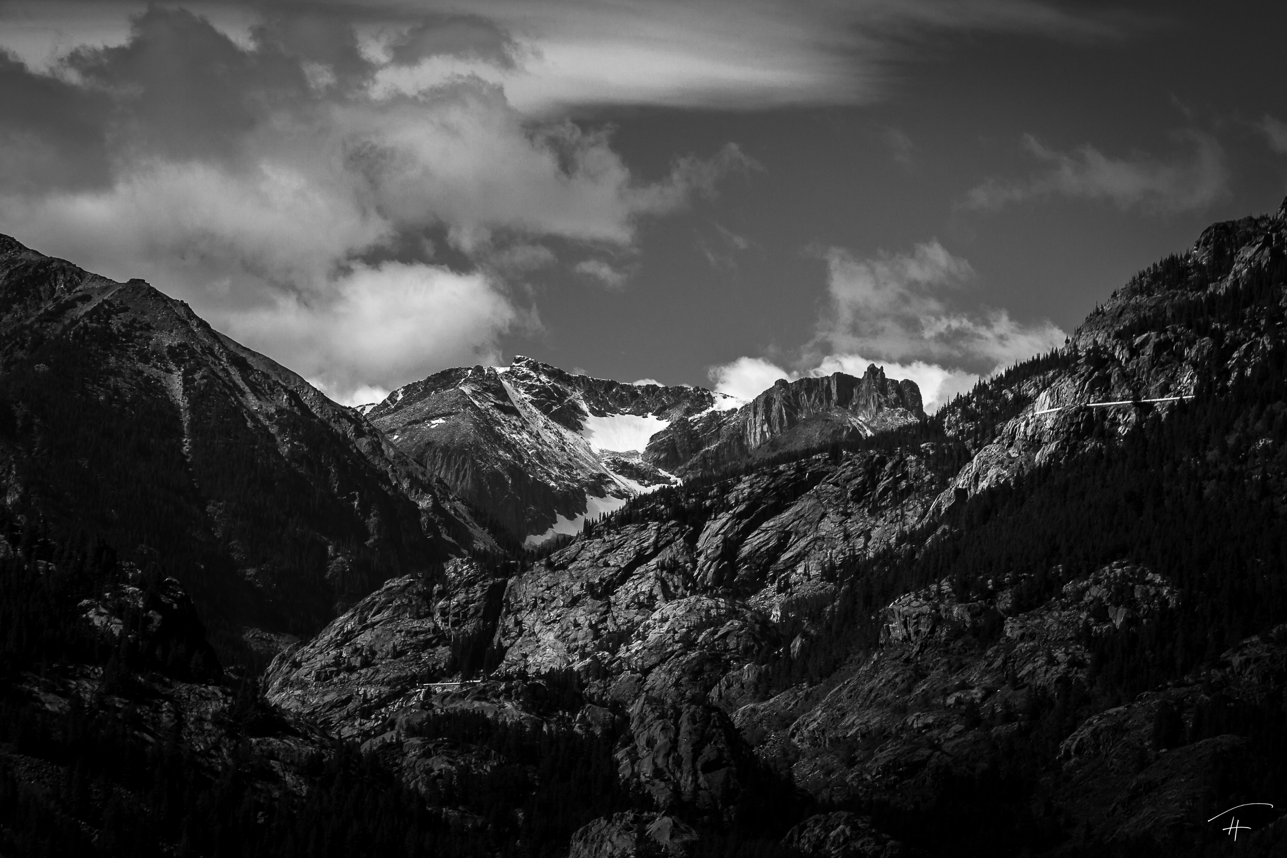
Granite Headwall Megapanorama
Granite Peak's Headwall
Granite Peak as seen from Camp Two
Looking Straight Up the Wall
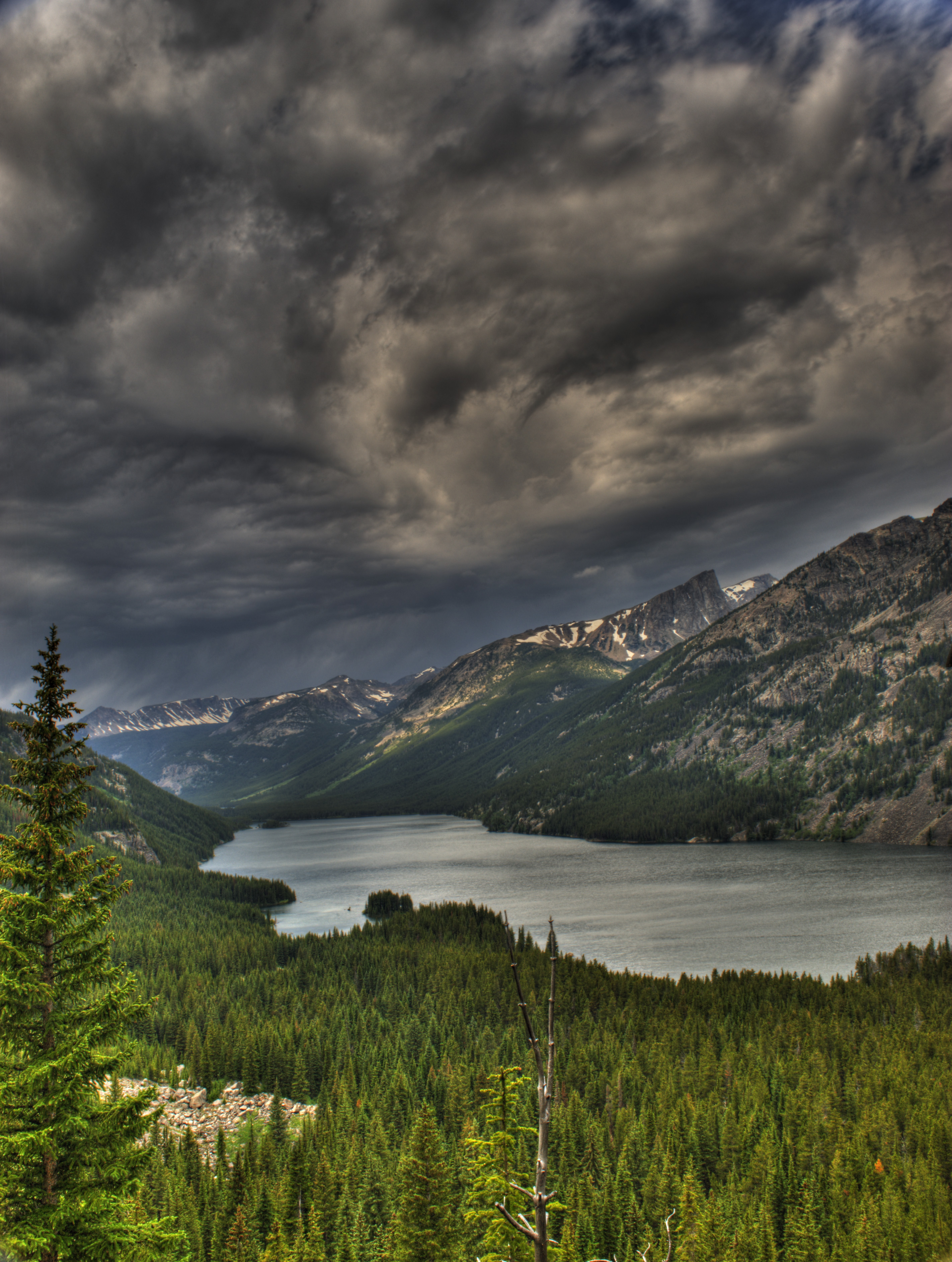
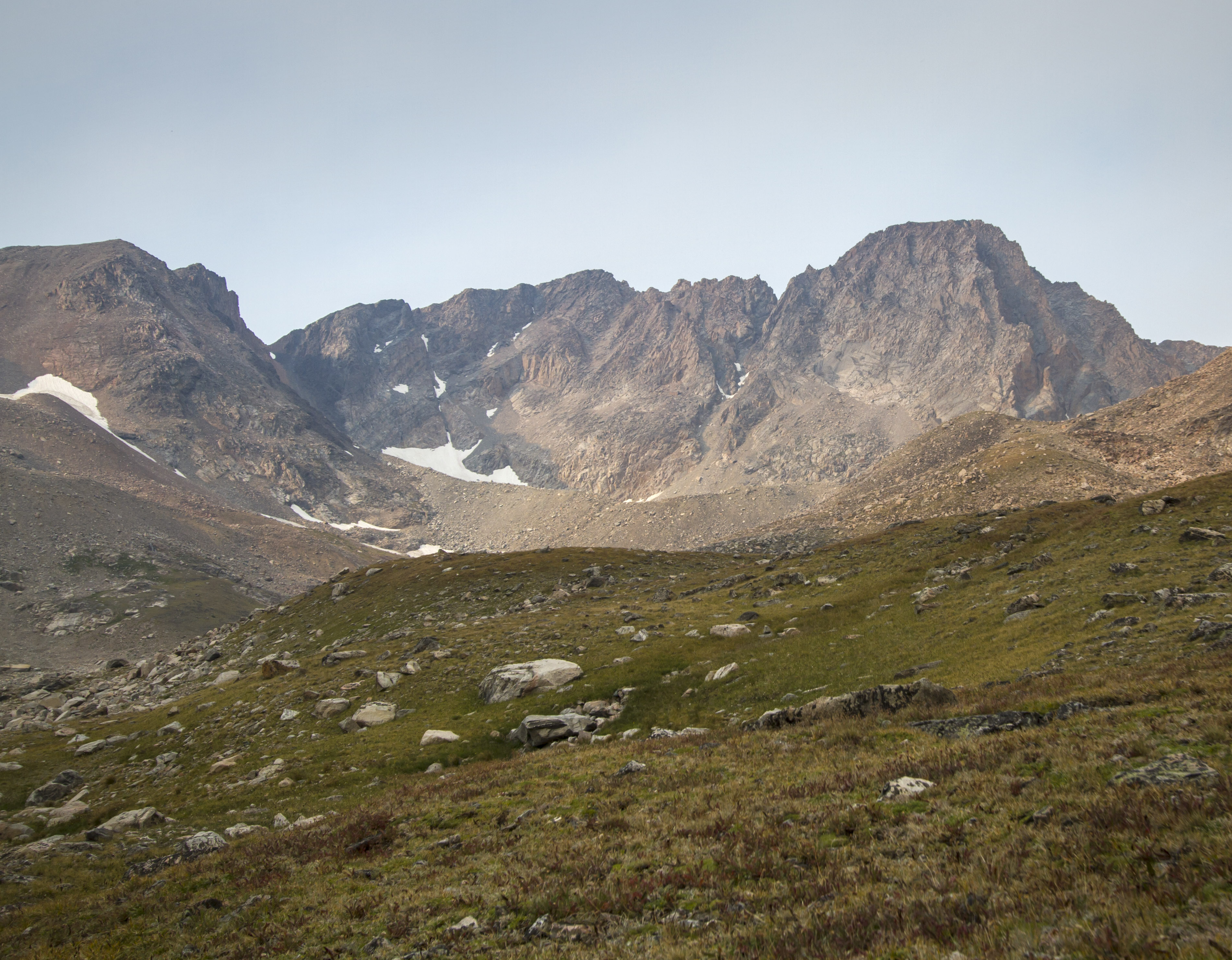
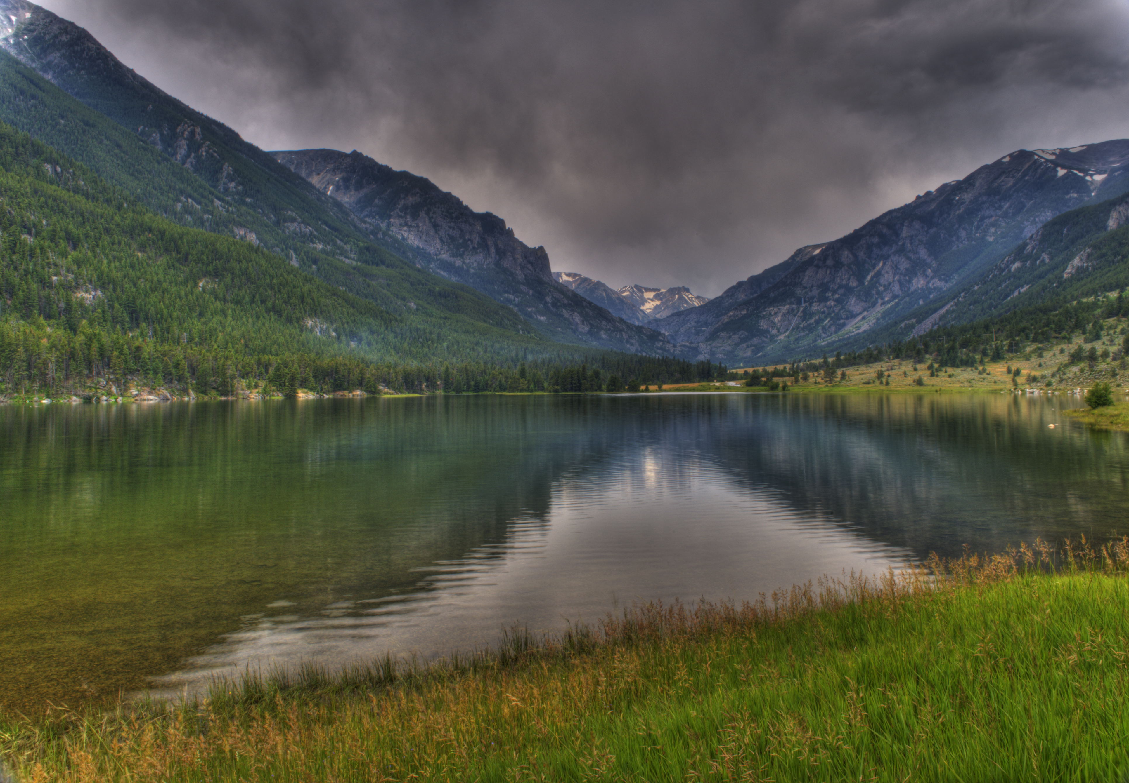
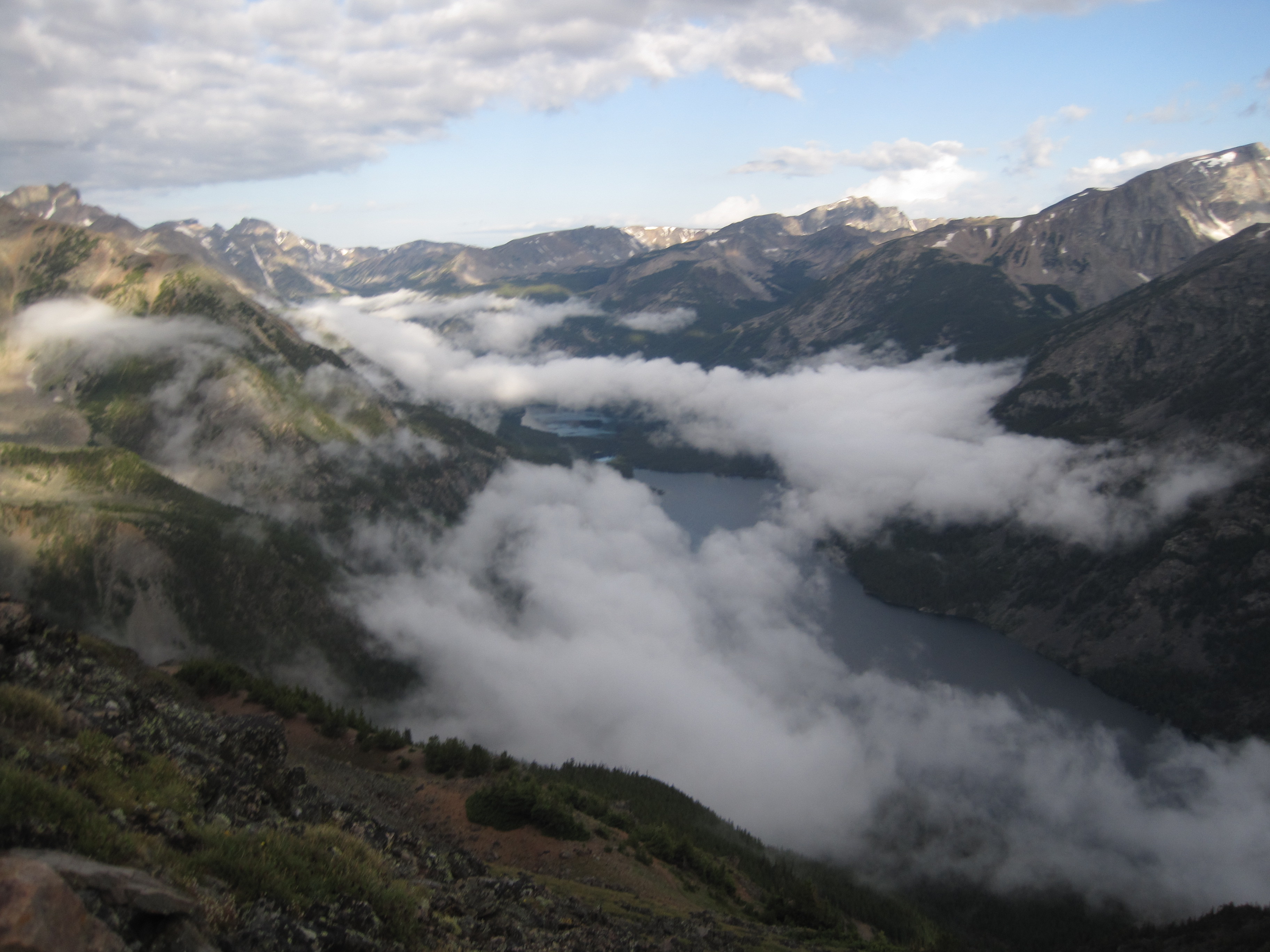
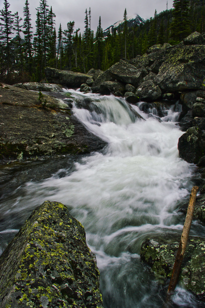
Mystic Lake

Mystic Lake
The Edge of Change
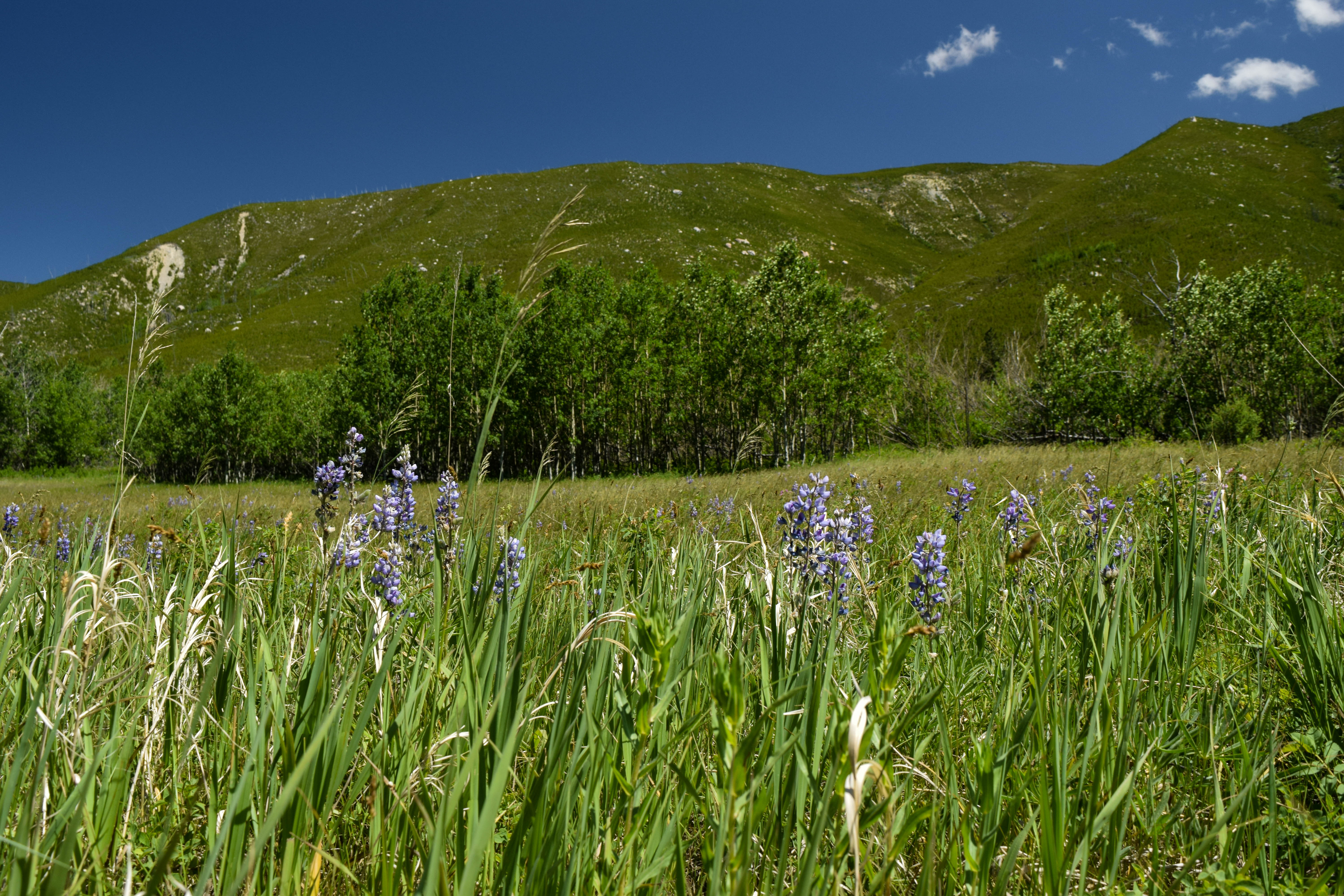
Quaking Aspen and Lupine
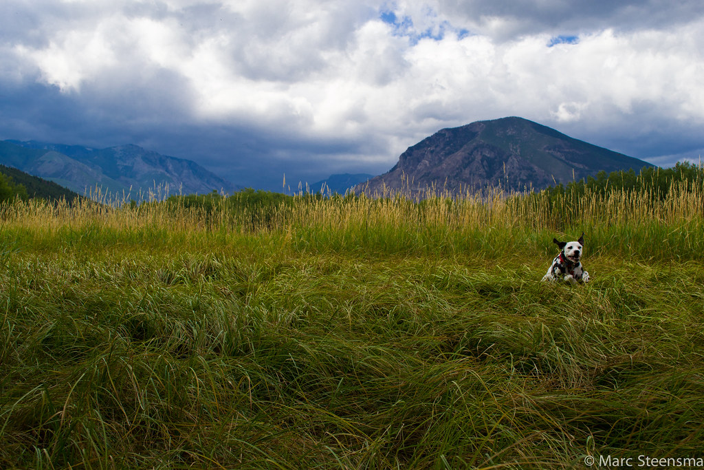
Run Rojo, Run!
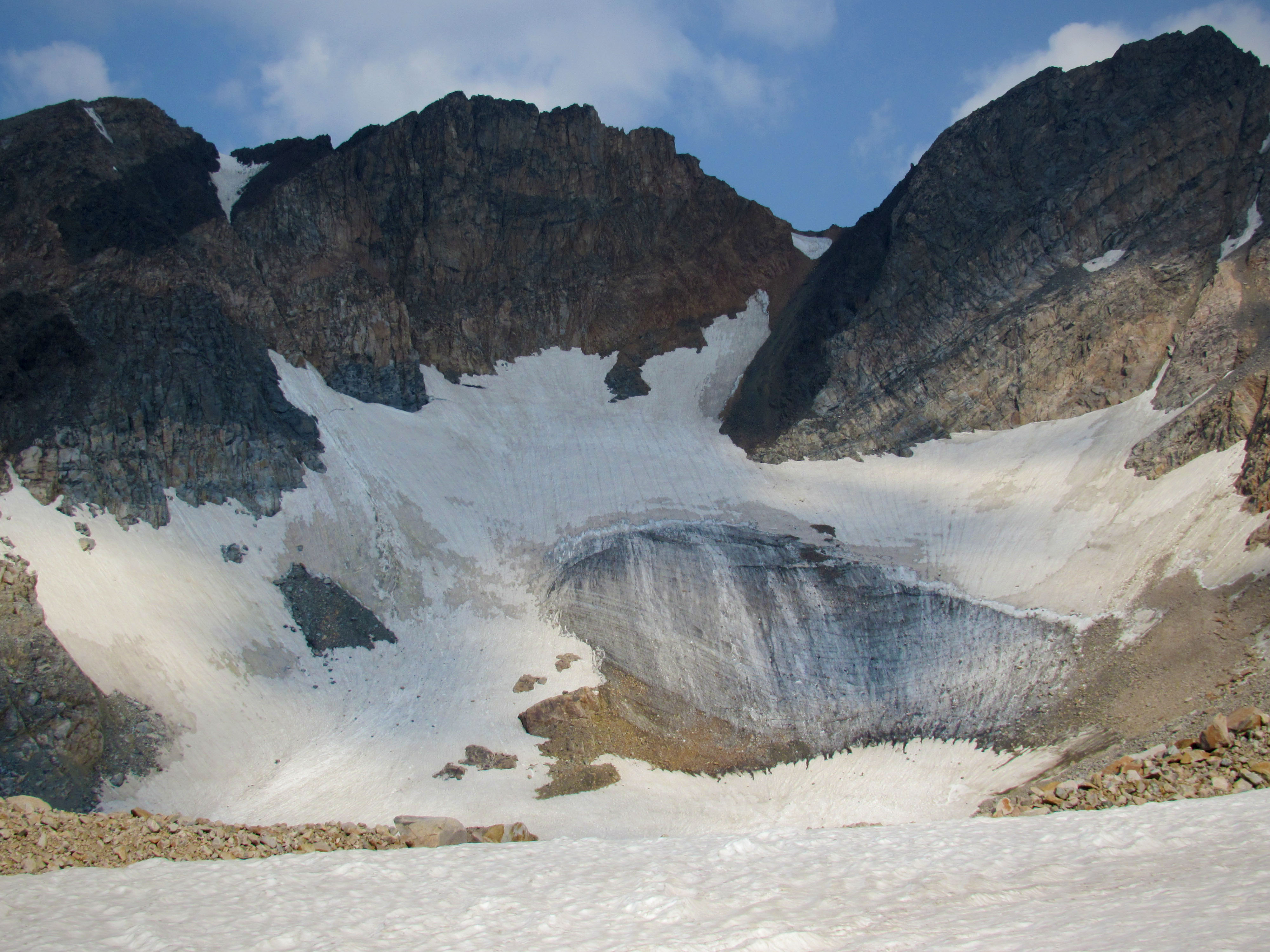
Skytop Glacier

Drip drop
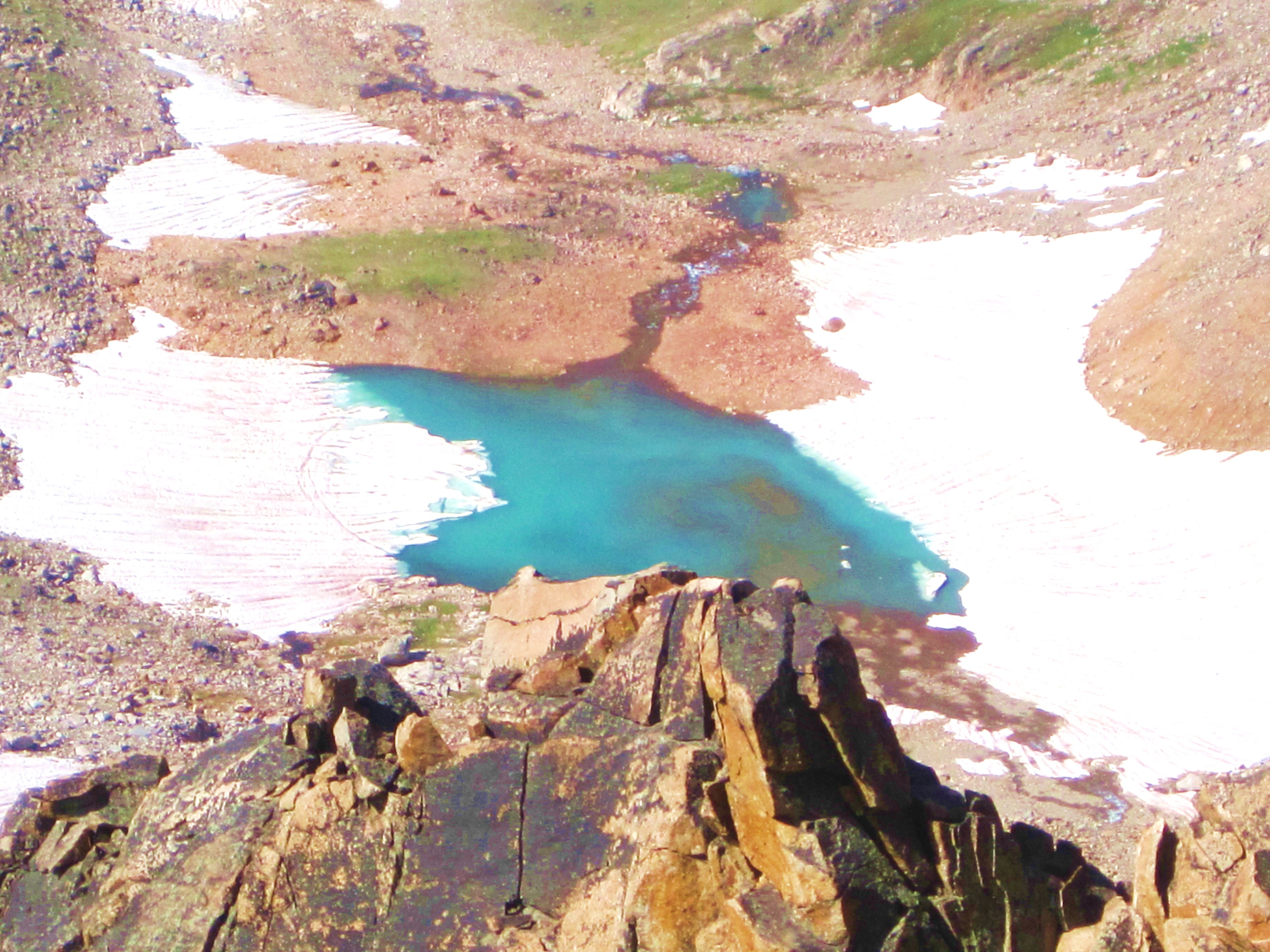
Emerald Lake
Granite Peak 162
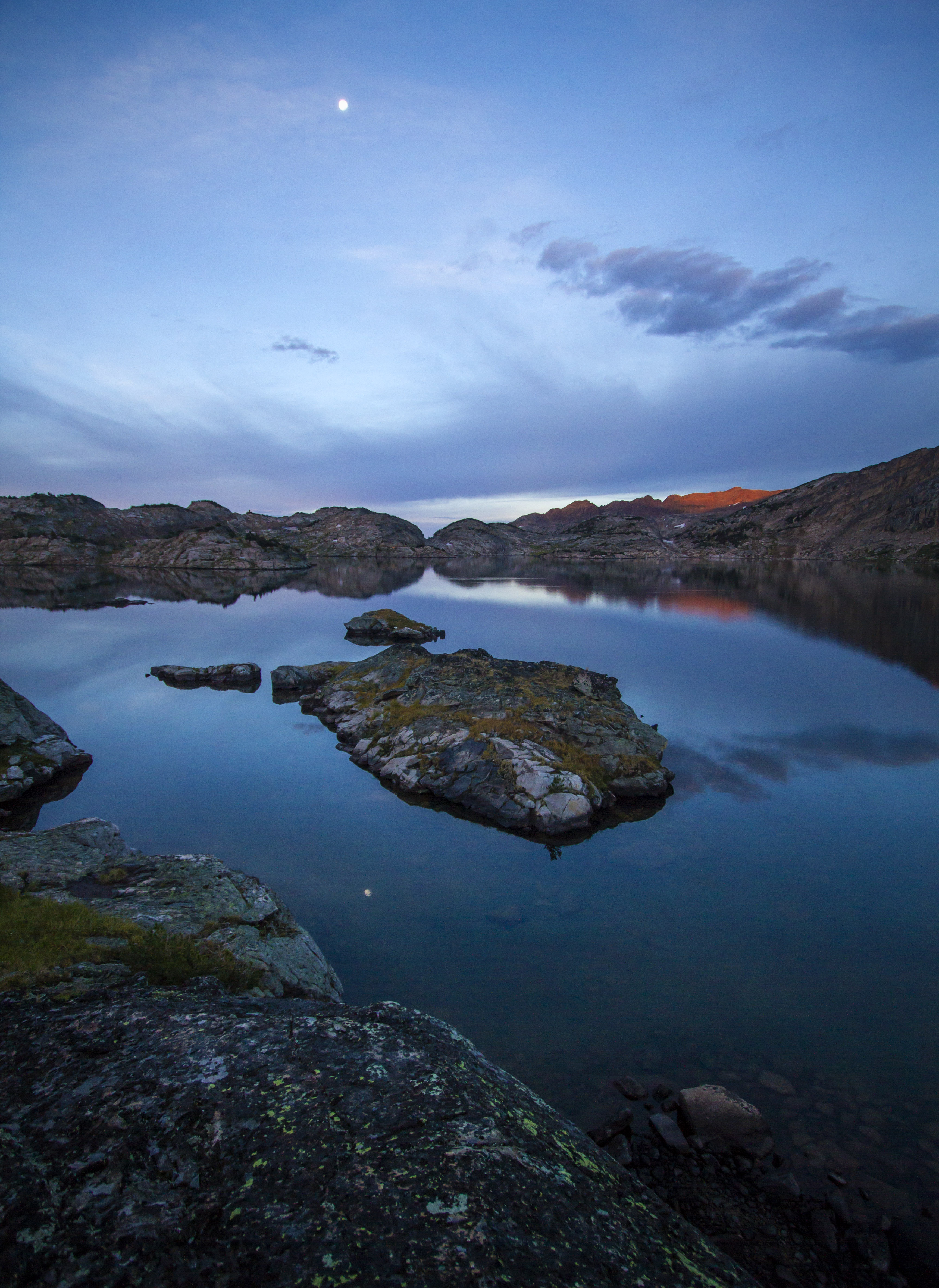
Full Moon at Dawn on Lower Aero Lake
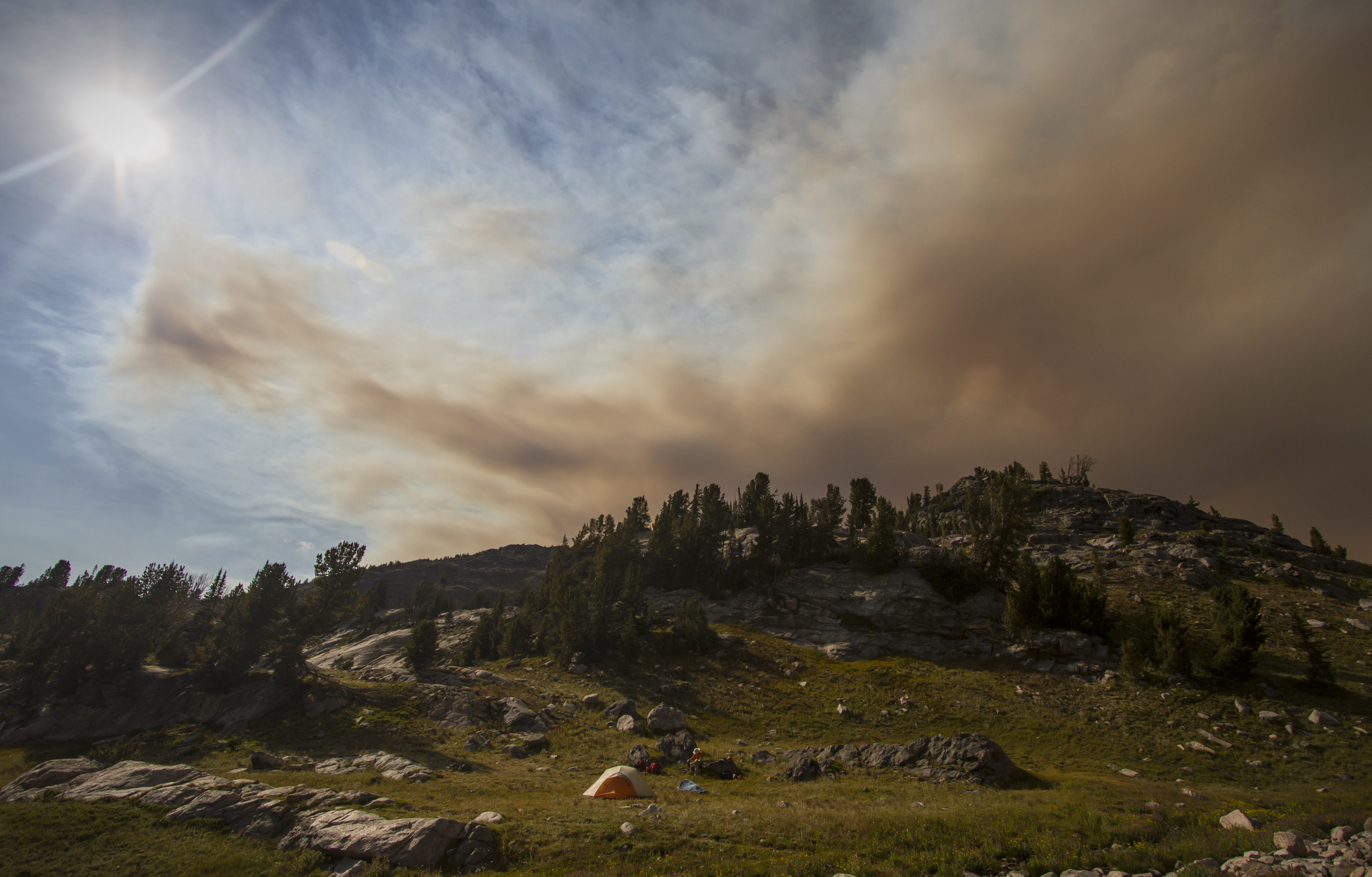
Smoke Encroaching on Camp One
Granite Peak 343 (1)
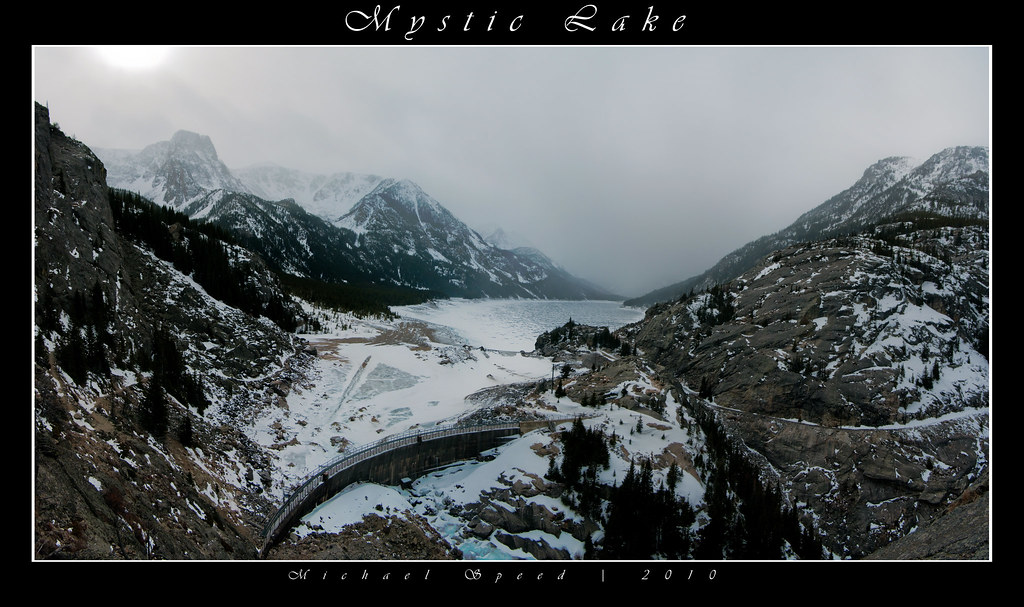
Mystic Lake
Granite Peak 400 (1)
Granite Peak 417 (1)

Reeves Lake on the West Rosebud
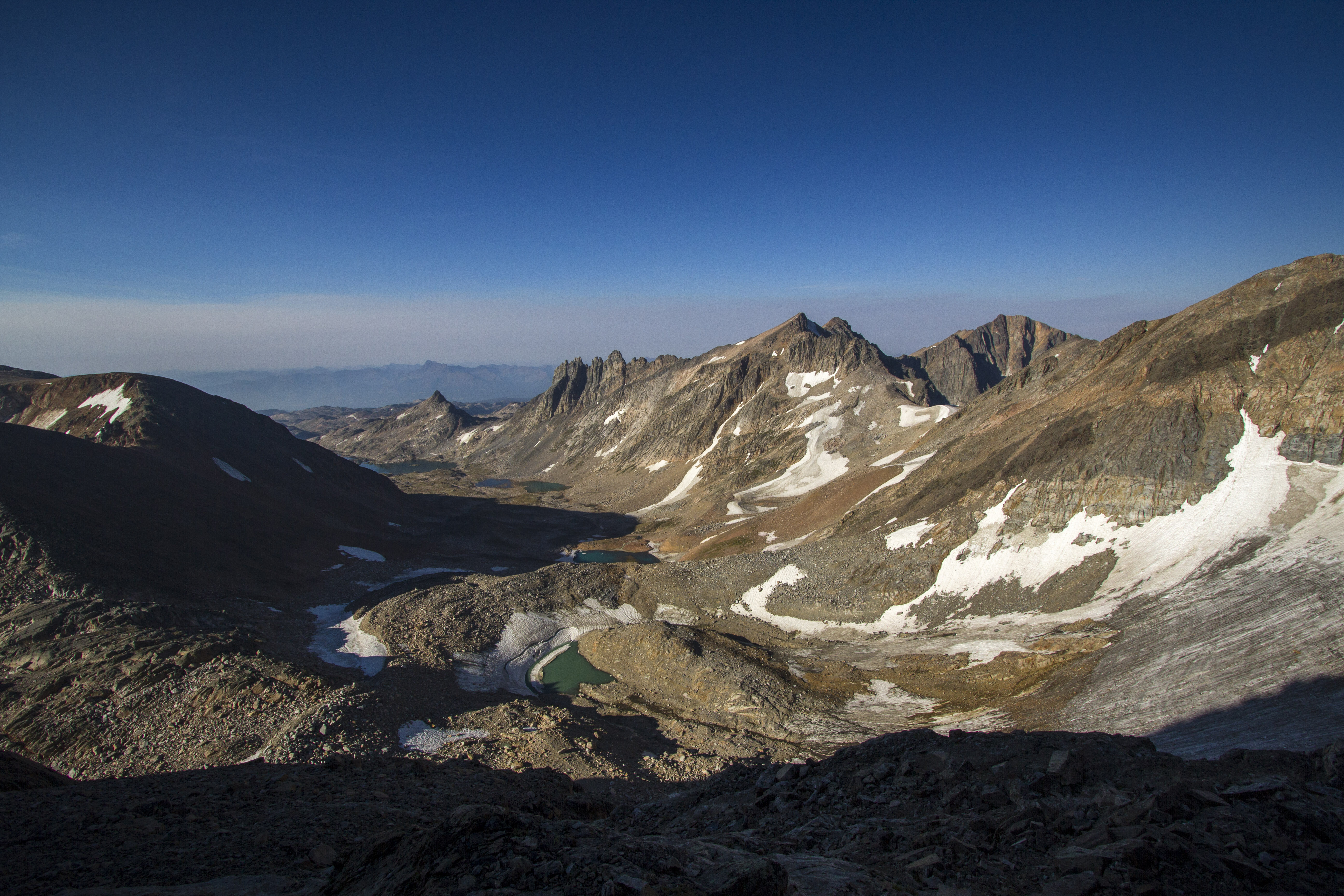
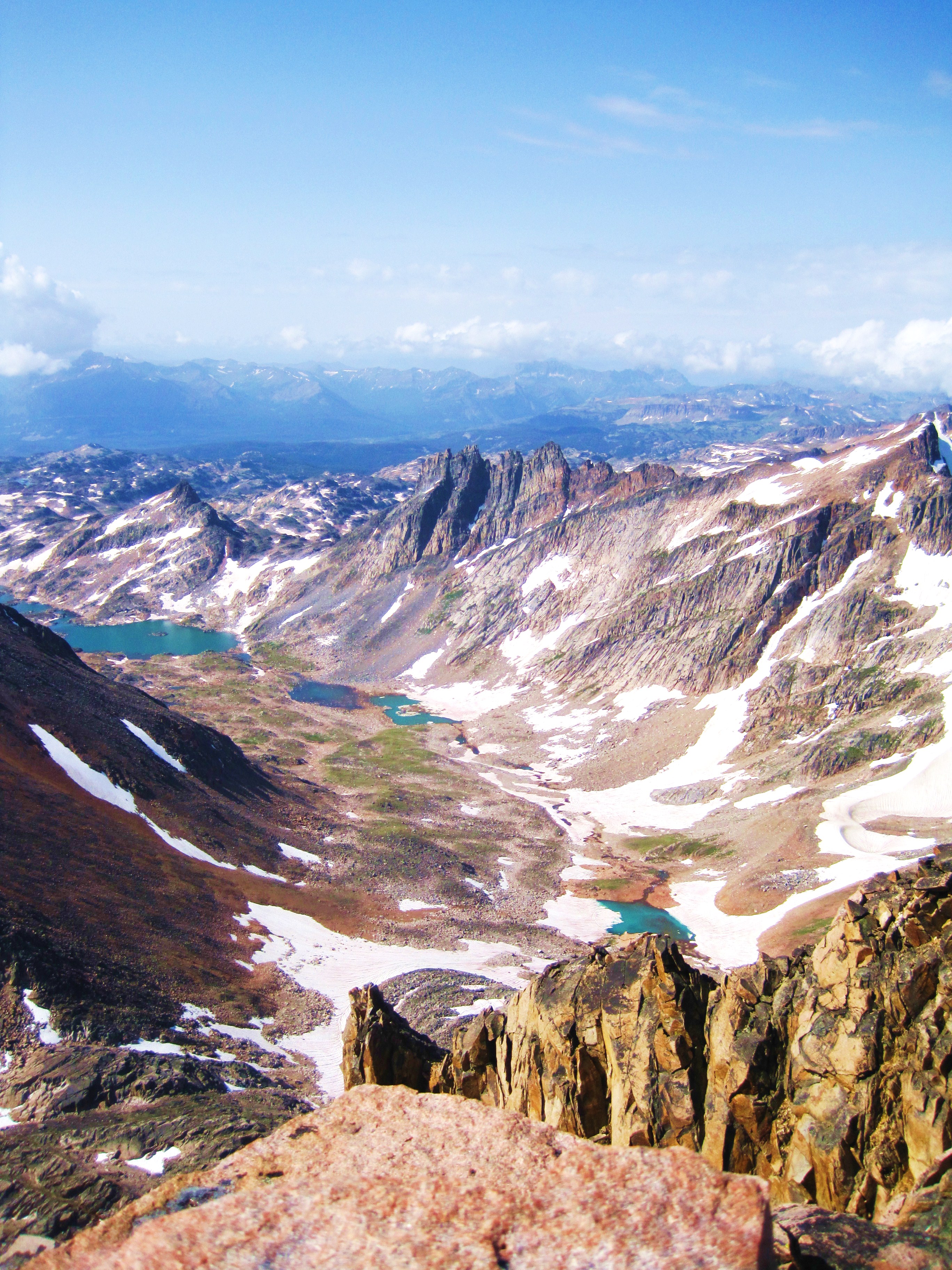
Skytop Lakes Basin
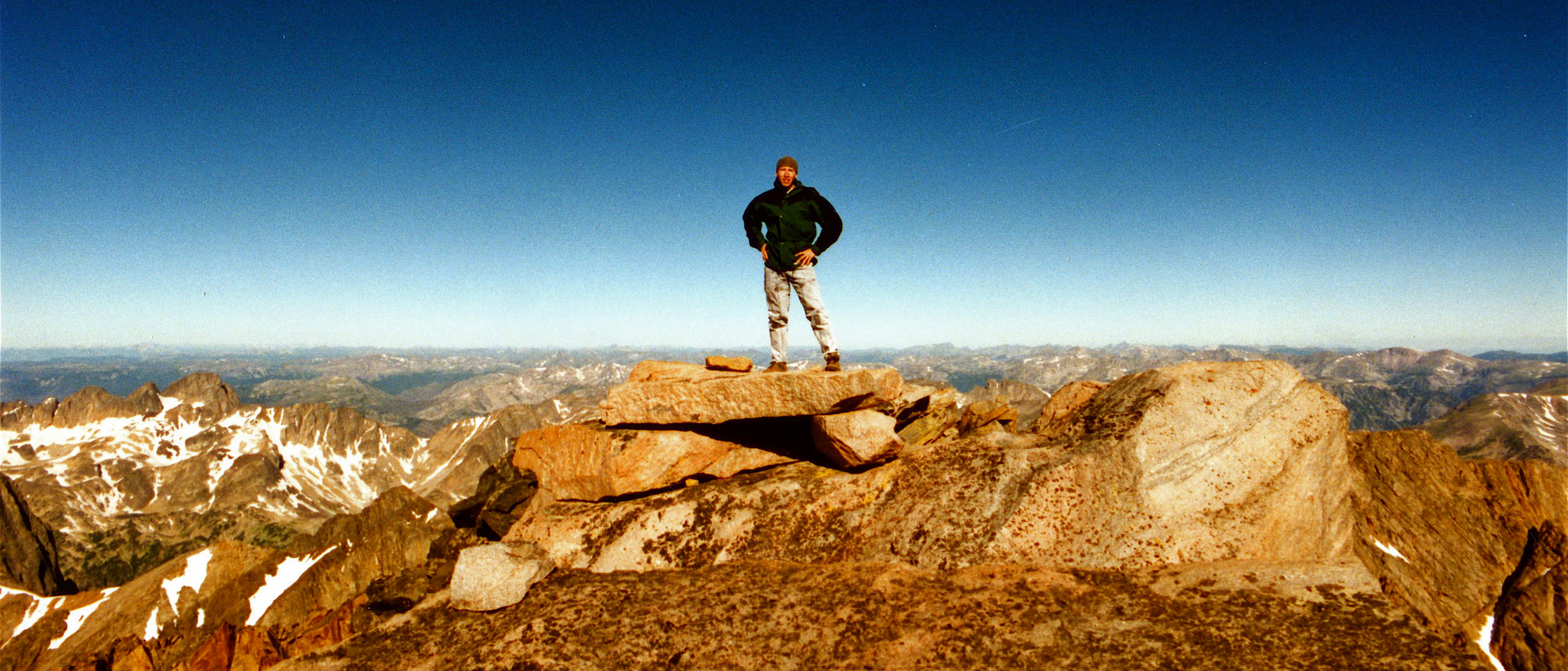
On Top of Granite Peak, Highest Point in Montana
Huckleberry Creek
Topographic Map of Mystic Lake, Montana, USA
Find elevation by address:

Places near Mystic Lake, Montana, USA:
Beartooth Mountains
Granite Peak
Twin Peaks
Absarokee High School
2562 Nye Rd
62 Trinity Trail
43 Sioux Trail
81 C M R Trail
65 Sawmill Rd
Nye
25 Sawmill Rd
16 Little Rocky Creek Rd
16 Little Rocky Creek Rd
Colter Campground
66 Harmony Ln
Cooke City-silver Gate
Wildcat Mountain
Alpine Motel
Cooke City
14 Larson Ln
Recent Searches:
- Elevation of Zimmer Trail, Pennsylvania, USA
- Elevation of 87 Kilmartin Ave, Bristol, CT, USA
- Elevation of Honghe National Nature Reserve, QP95+PJP, Tongjiang, Heilongjiang, Jiamusi, Heilongjiang, China
- Elevation of Hercules Dr, Colorado Springs, CO, USA
- Elevation of Szlak pieszy czarny, Poland
- Elevation of Griffing Blvd, Biscayne Park, FL, USA
- Elevation of Kreuzburger Weg 13, Düsseldorf, Germany
- Elevation of Gateway Blvd SE, Canton, OH, USA
- Elevation of East W.T. Harris Boulevard, E W.T. Harris Blvd, Charlotte, NC, USA
- Elevation of West Sugar Creek, Charlotte, NC, USA