Elevation of Turner St, Roxboro, NC, USA
Location: United States > North Carolina > Person County > Roxboro > Roxboro >
Longitude: -78.969506
Latitude: 36.42926
Elevation: 161m / 528feet
Barometric Pressure: 99KPa
Elevation Map:
Satellite Map:
Related Photos:
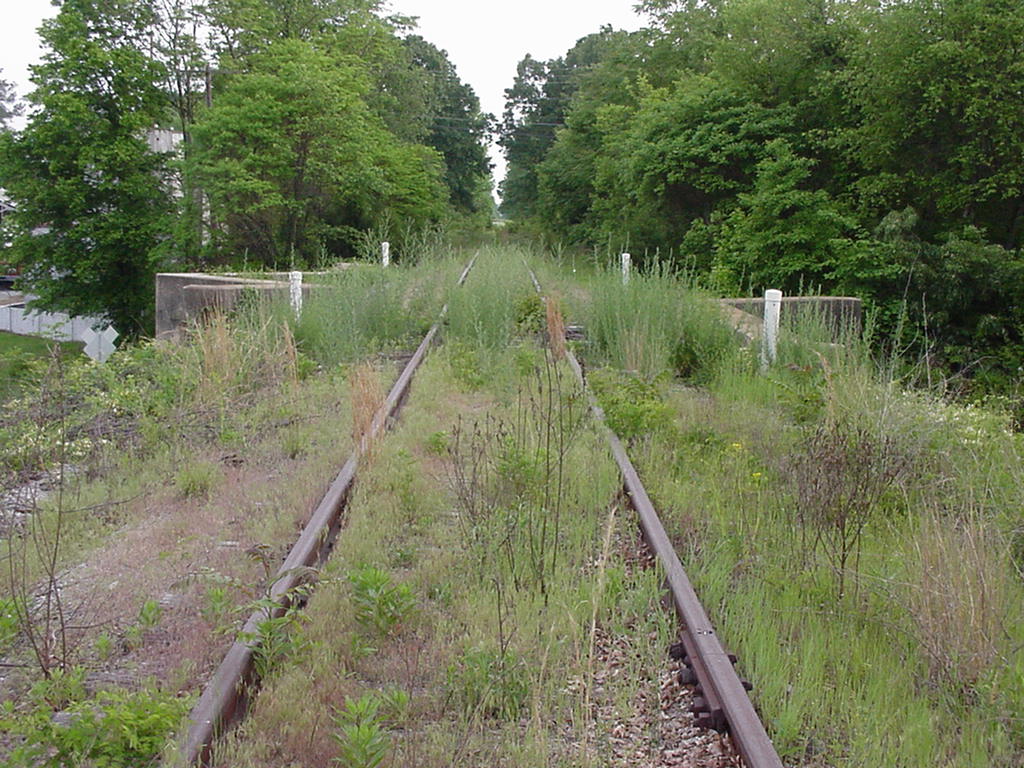
Norfolk and Western Durham and Roxboro Lynchburg and Durham Railroad
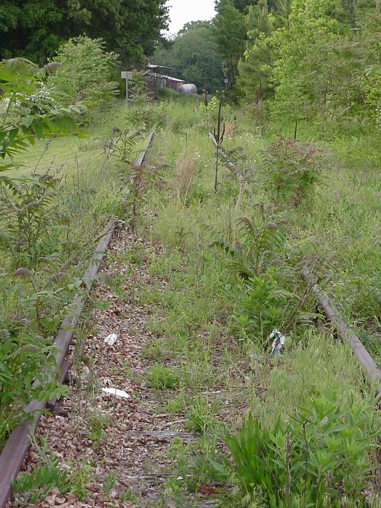
Norfolk and Western Durham and Roxboro Lynchburg and Durham Railroad
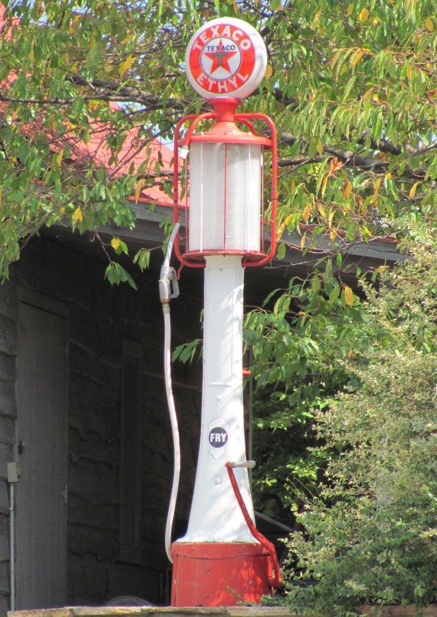
Texaco Visible Gas Pump
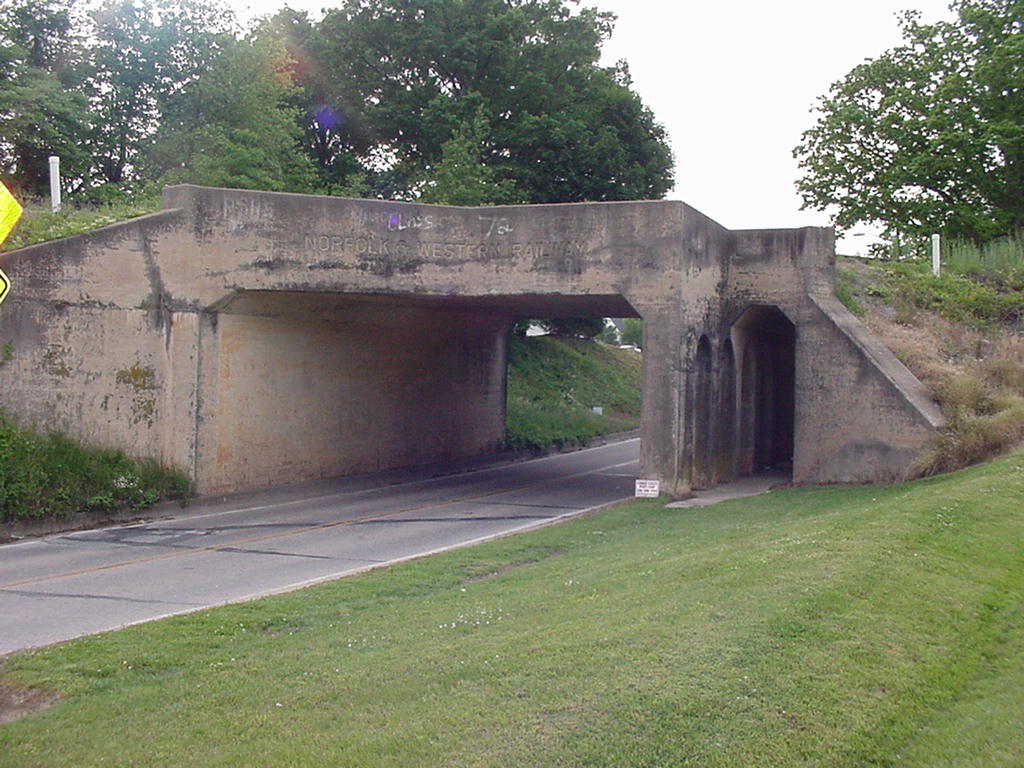
Norfolk and Western Durham and Roxboro Lynchburg and Durham Railroad
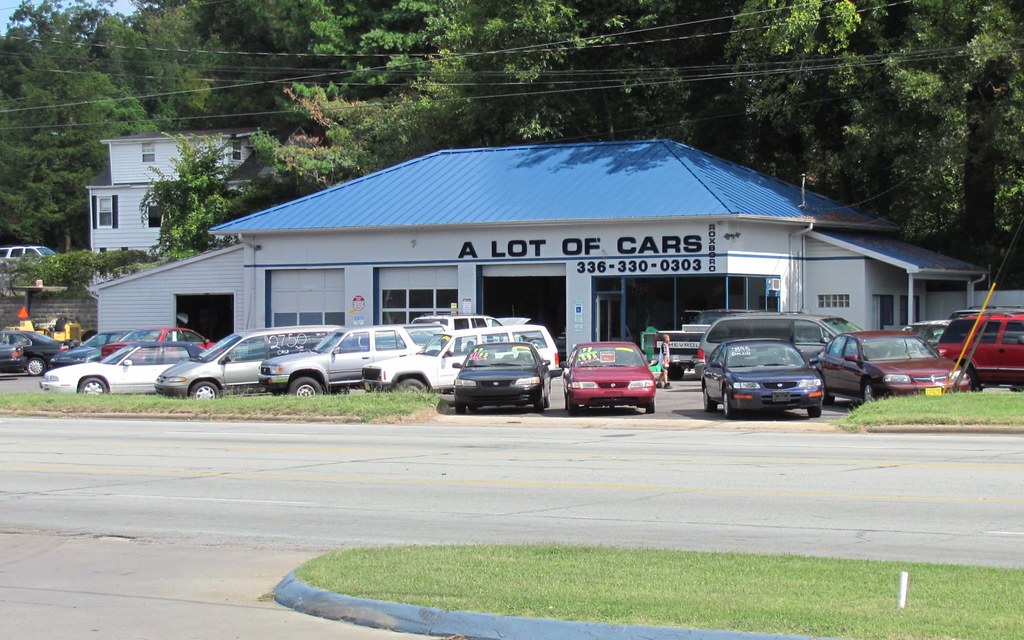
A Lot of Cars

Beautiful ending to our last day at the lake. #sunset

Sunset on the lake - 2

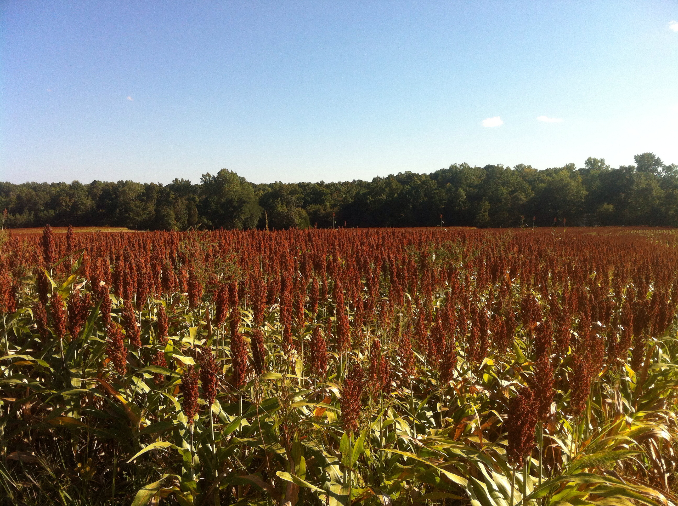
Mayo Plant landscape

Sunset on the lake - 3
to vermont
Early morning in camp

Sunset on the lake - 1
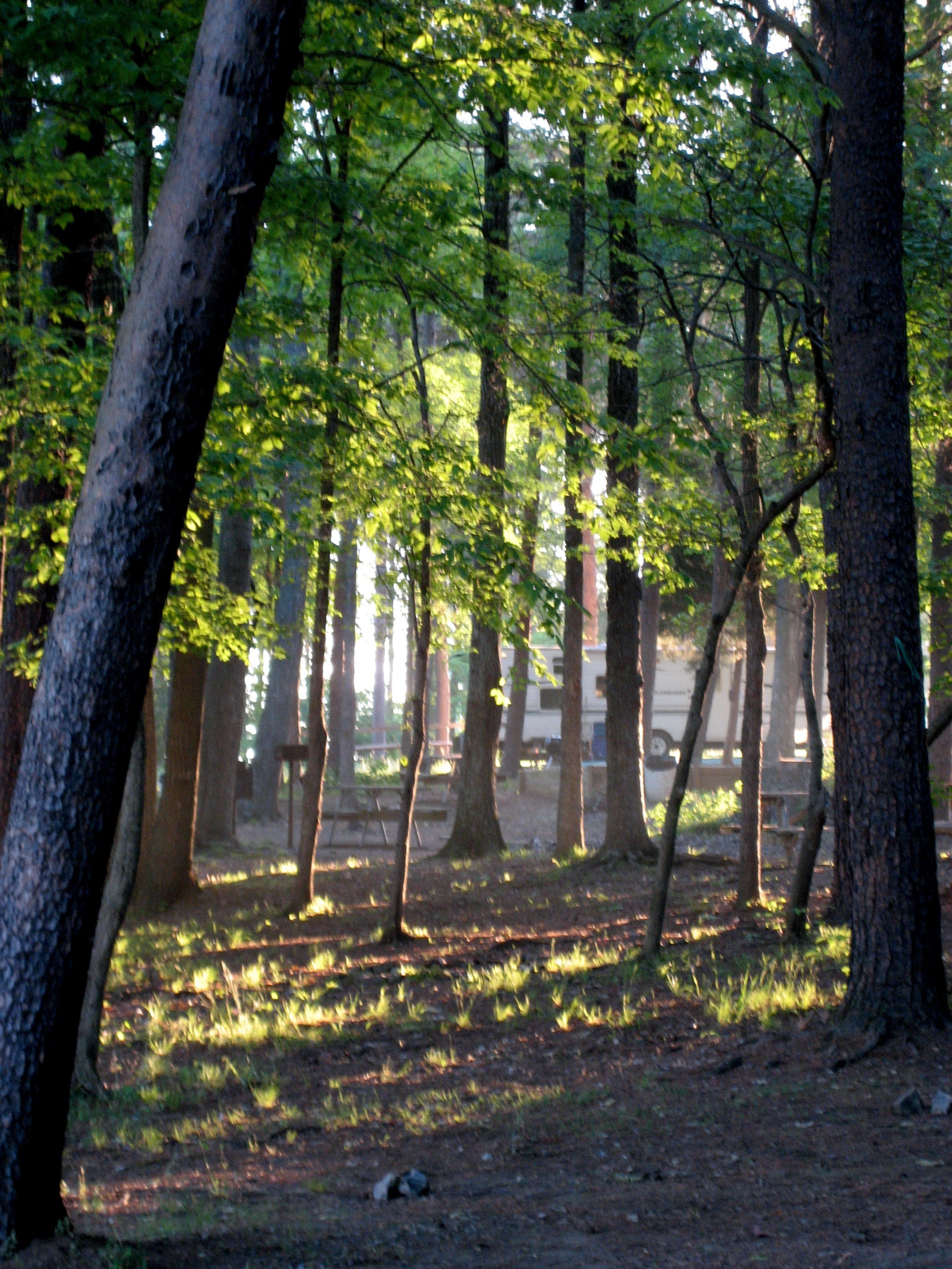
Early morning light slants through the trees

Hyco Lake Campground at sunset

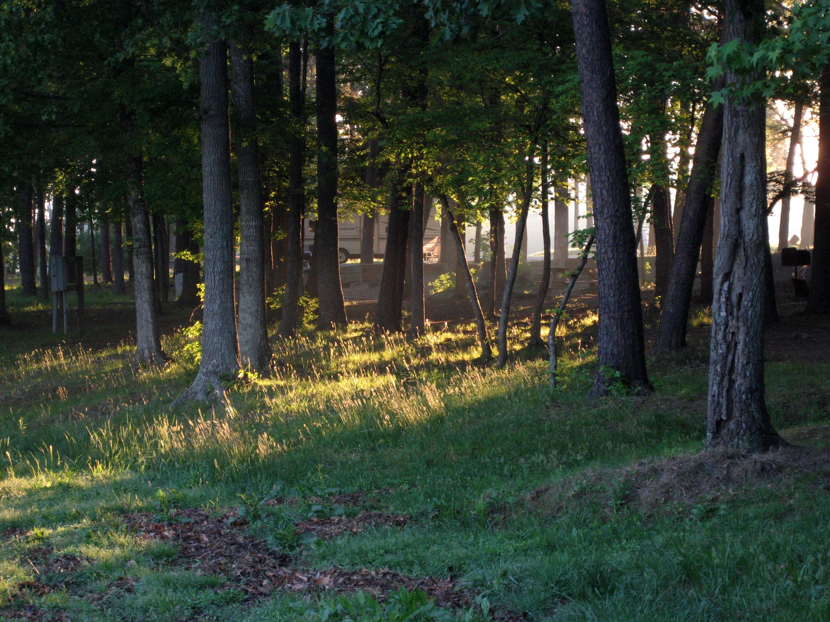
Shafts of light in the trees
Topographic Map of Turner St, Roxboro, NC, USA
Find elevation by address:

Places near Turner St, Roxboro, NC, USA:
Roxboro, NC, USA
Banbury Dr, Roxboro, NC, USA
50 Jessica Ln
323 N Main St
Roxboro
737 Allensville Rd
311 Allensville Rd
Roxboro
Old Durham Rd, Roxboro, NC, USA
2118 Mcghees Mill Rd
Person County
232 Adams Farm Rd
Bethel Hill School Rd, Roxboro, NC, USA
Dan Humphrey Rd, Semora, NC, USA
921 Shore Rd
166 Dustin Ln
Holloway
Flat River
167 Possum Trot Ln
105 Possum Trot
Recent Searches:
- Elevation of Corso Fratelli Cairoli, 35, Macerata MC, Italy
- Elevation of Tallevast Rd, Sarasota, FL, USA
- Elevation of 4th St E, Sonoma, CA, USA
- Elevation of Black Hollow Rd, Pennsdale, PA, USA
- Elevation of Oakland Ave, Williamsport, PA, USA
- Elevation of Pedrógão Grande, Portugal
- Elevation of Klee Dr, Martinsburg, WV, USA
- Elevation of Via Roma, Pieranica CR, Italy
- Elevation of Tavkvetili Mountain, Georgia
- Elevation of Hartfords Bluff Cir, Mt Pleasant, SC, USA