Elevation of Dan Humphrey Rd, Semora, NC, USA
Location: United States > North Carolina > Person County >
Longitude: -79.021109
Latitude: 36.521862
Elevation: 128m / 420feet
Barometric Pressure: 100KPa
Elevation Map:
Satellite Map:
Related Photos:
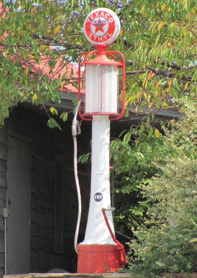
Texaco Visible Gas Pump
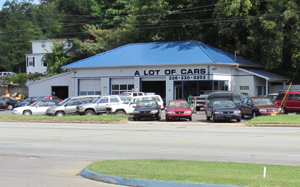
A Lot of Cars

View from the house down to the boathouse

Bosch Engineering 250 Grand-Am Rolex VIR 2010

Bosch Engineering 250 Grand-Am Rolex VIR 2010

Beautiful ending to our last day at the lake. #sunset

Tree reflection

Sunset on the lake - 2

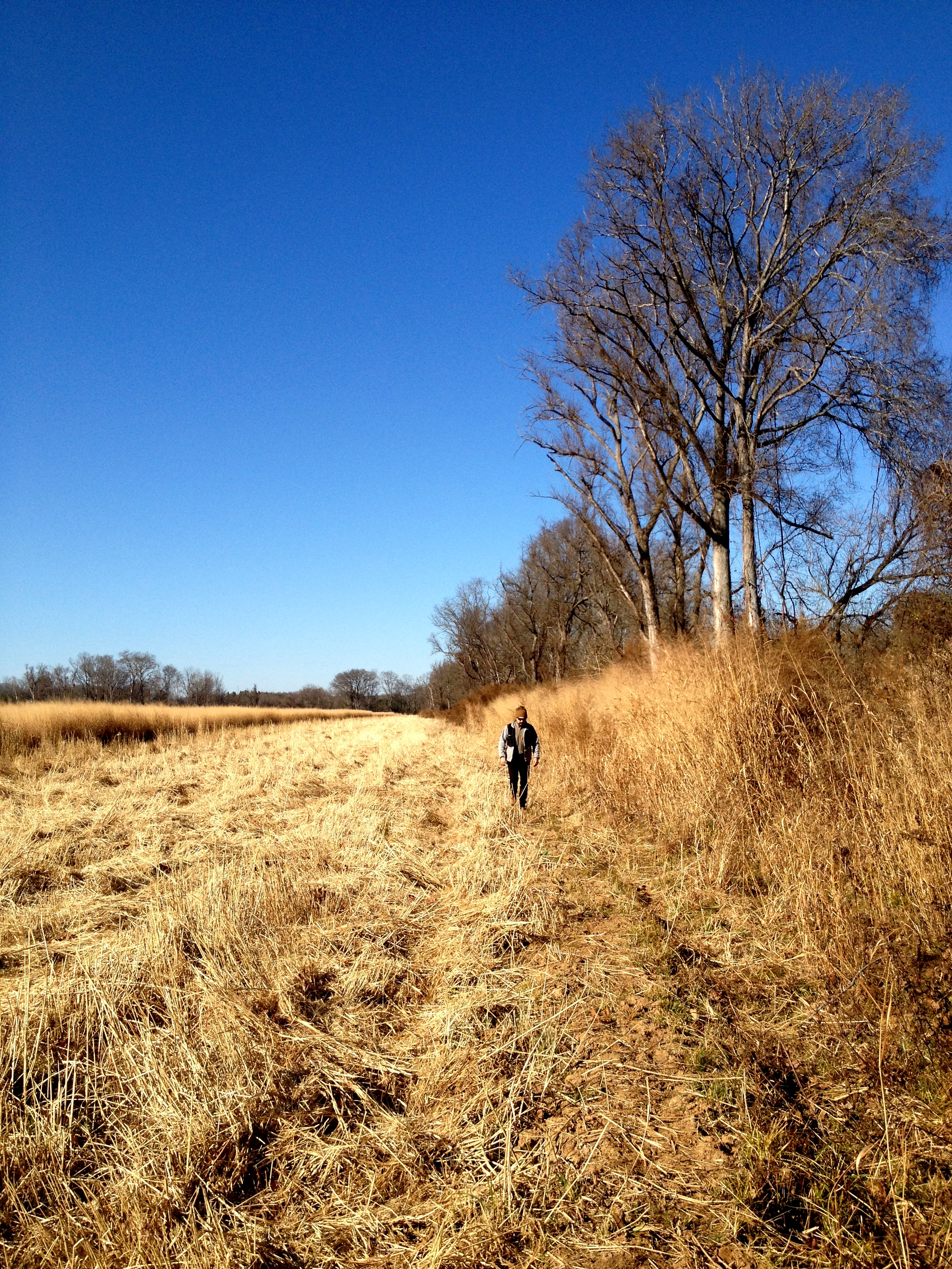
Straw Field

Sunset on the lake - 3

Mayo Plant landscape
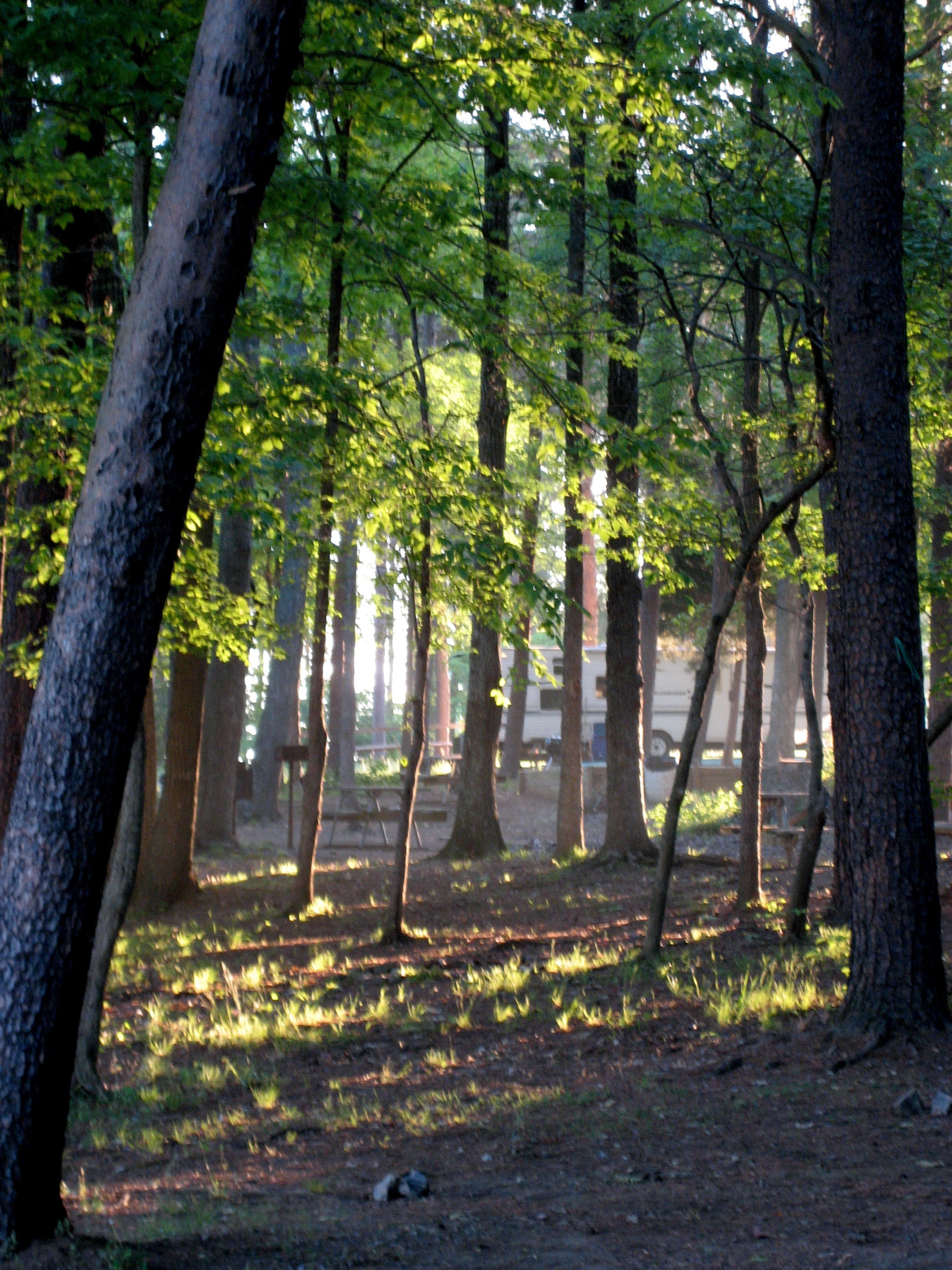
Early morning in camp
Access Treenied

Sunset on the lake - 1

Kerr Lake
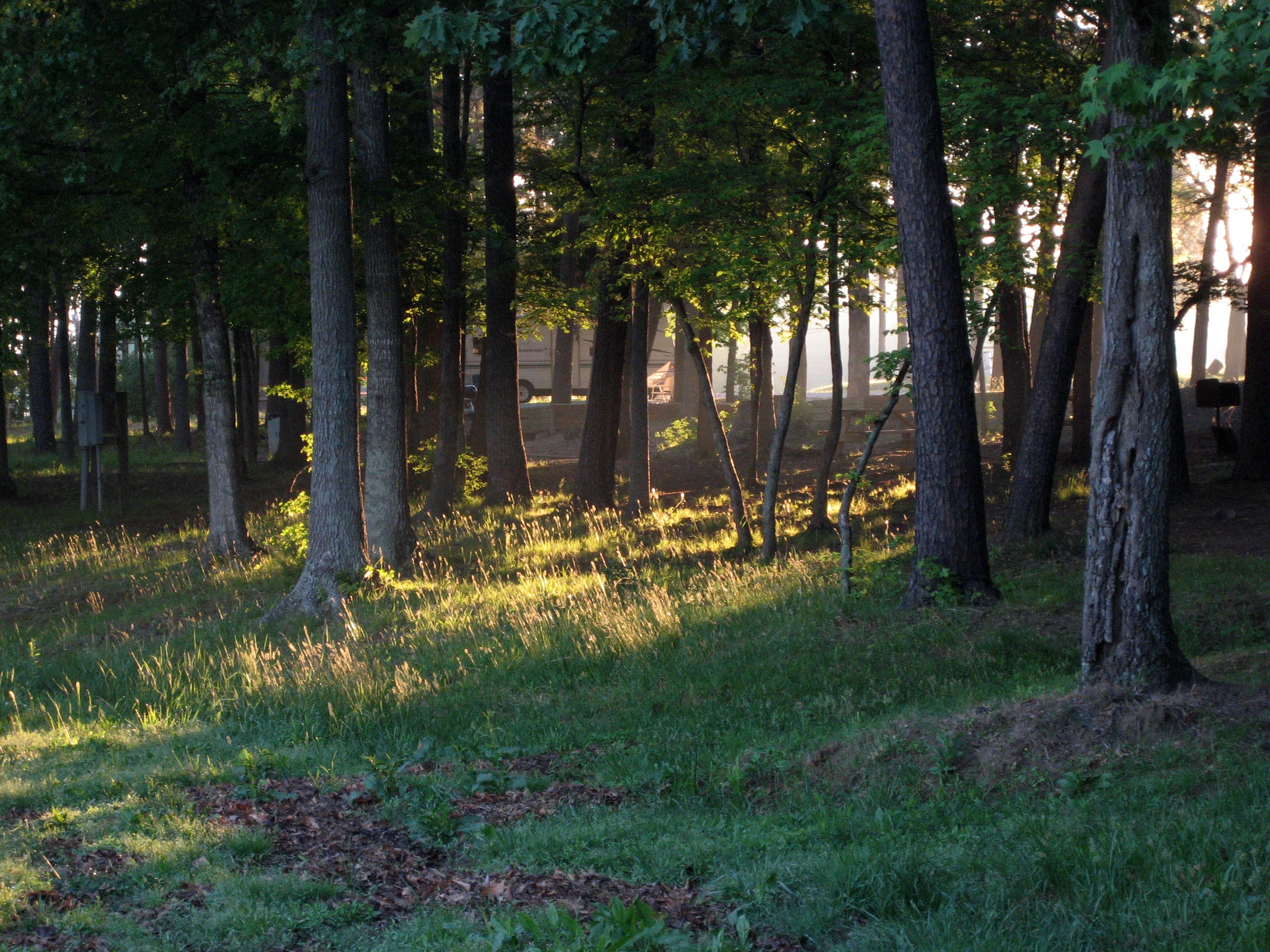
Early morning light slants through the trees
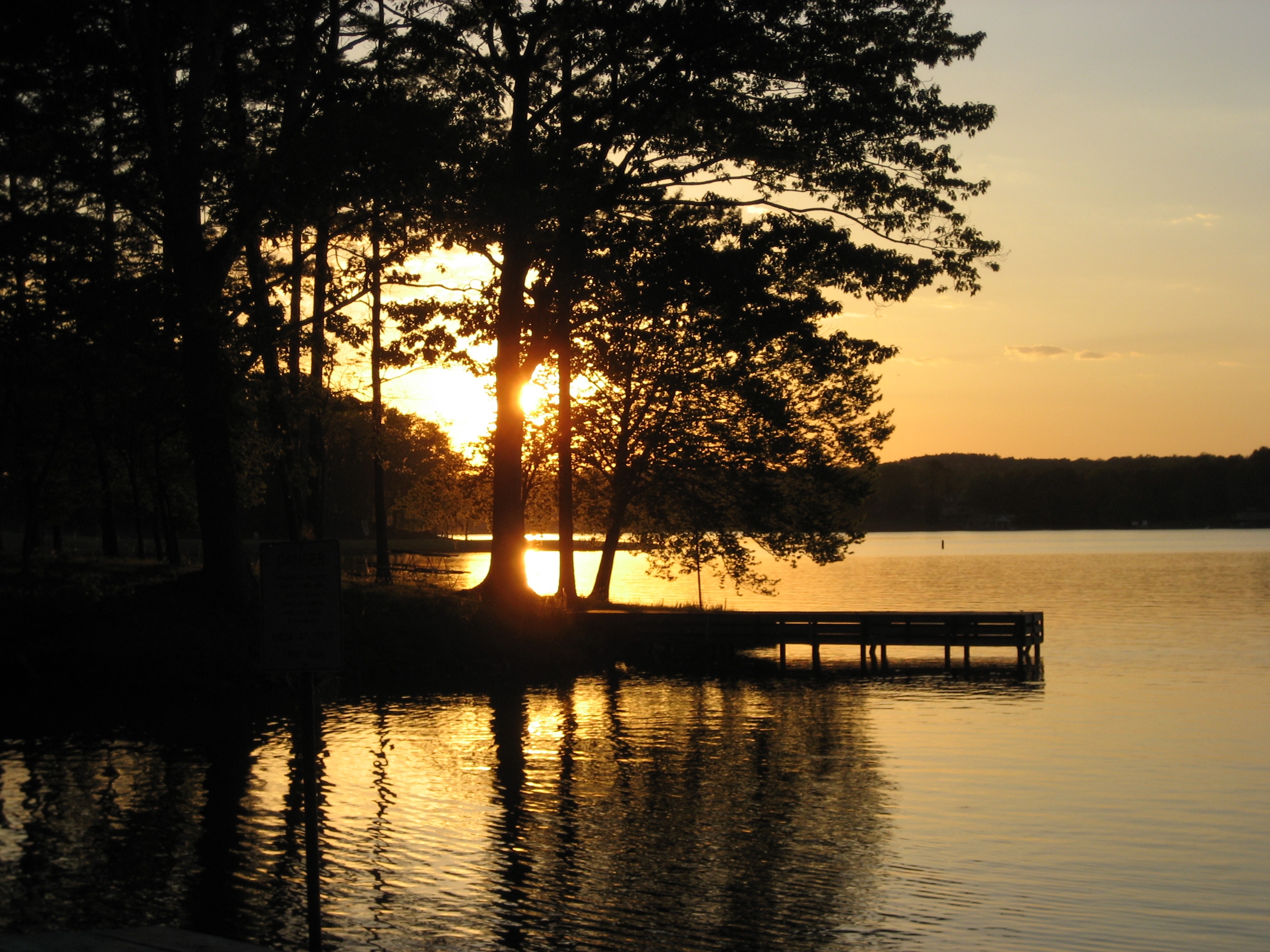
Hyco Lake Campground at sunset

Shafts of light in the trees
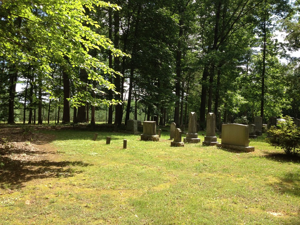
Red House Presbyterian Church Cemetery, Red House, North Carolina
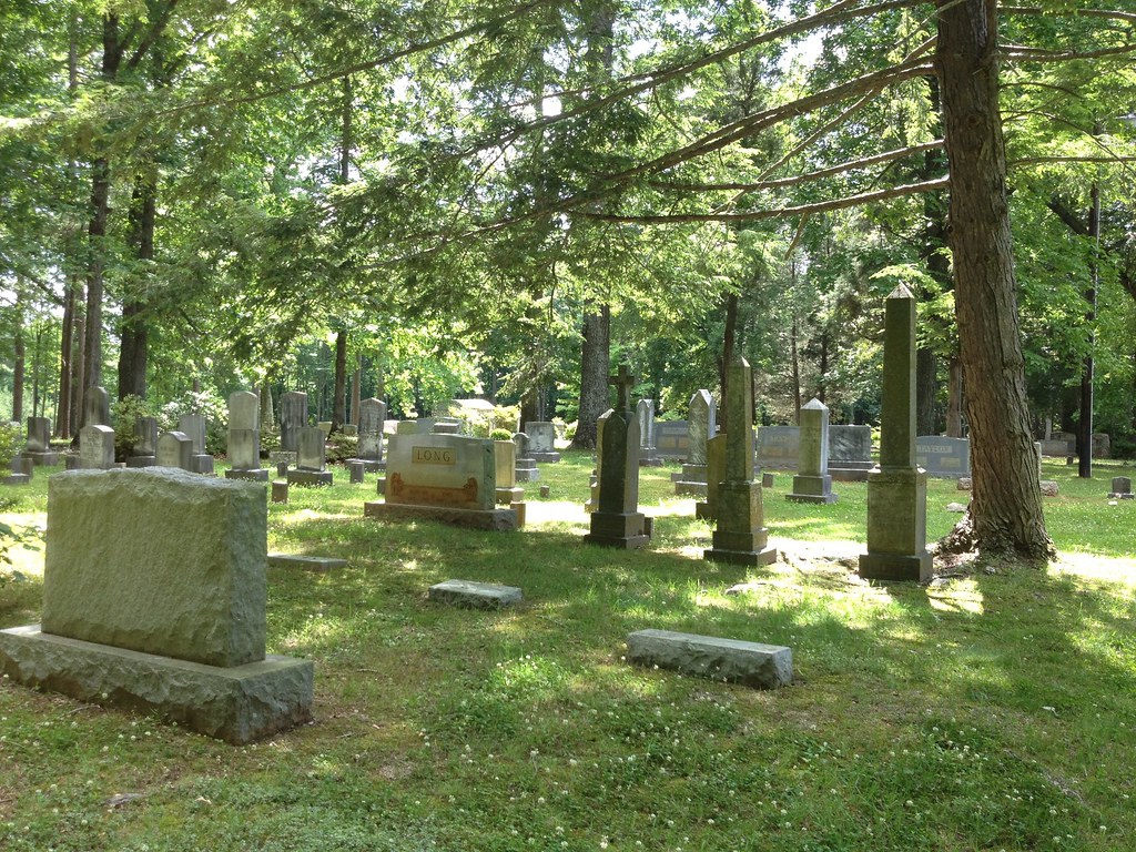
Red House Presbyterian Church Cemetery, Red House, North Carolina
Topographic Map of Dan Humphrey Rd, Semora, NC, USA
Find elevation by address:

Places near Dan Humphrey Rd, Semora, NC, USA:
921 Shore Rd
Cunningham
2118 Mcghees Mill Rd
50 Jessica Ln
167 Possum Trot Ln
105 Possum Trot
105 Possum Trot
Hyco Lake
Turner St, Roxboro, NC, USA
Bethel Hill School Rd, Roxboro, NC, USA
Banbury Dr, Roxboro, NC, USA
85 Holt Dr
Roxboro, NC, USA
NC-, Milton, NC, USA
323 N Main St
Roxboro
Roxboro
311 Allensville Rd
737 Allensville Rd
Old Durham Rd, Roxboro, NC, USA
Recent Searches:
- Elevation of 72-31 Metropolitan Ave, Middle Village, NY, USA
- Elevation of 76 Metropolitan Ave, Brooklyn, NY, USA
- Elevation of Alisal Rd, Solvang, CA, USA
- Elevation of Vista Blvd, Sparks, NV, USA
- Elevation of 15th Ave SE, St. Petersburg, FL, USA
- Elevation of Beall Road, Beall Rd, Florida, USA
- Elevation of Leguwa, Nepal
- Elevation of County Rd, Enterprise, AL, USA
- Elevation of Kolchuginsky District, Vladimir Oblast, Russia
- Elevation of Shustino, Vladimir Oblast, Russia