Elevation of Tuchuck Campground, NF-, Eureka, MT, United States
Location: United States > Montana > Polebridge >
Longitude: -114.60043
Latitude: 48.9227299
Elevation: 1408m / 4619feet
Barometric Pressure: 86KPa
Elevation Map:
Satellite Map:
Related Photos:
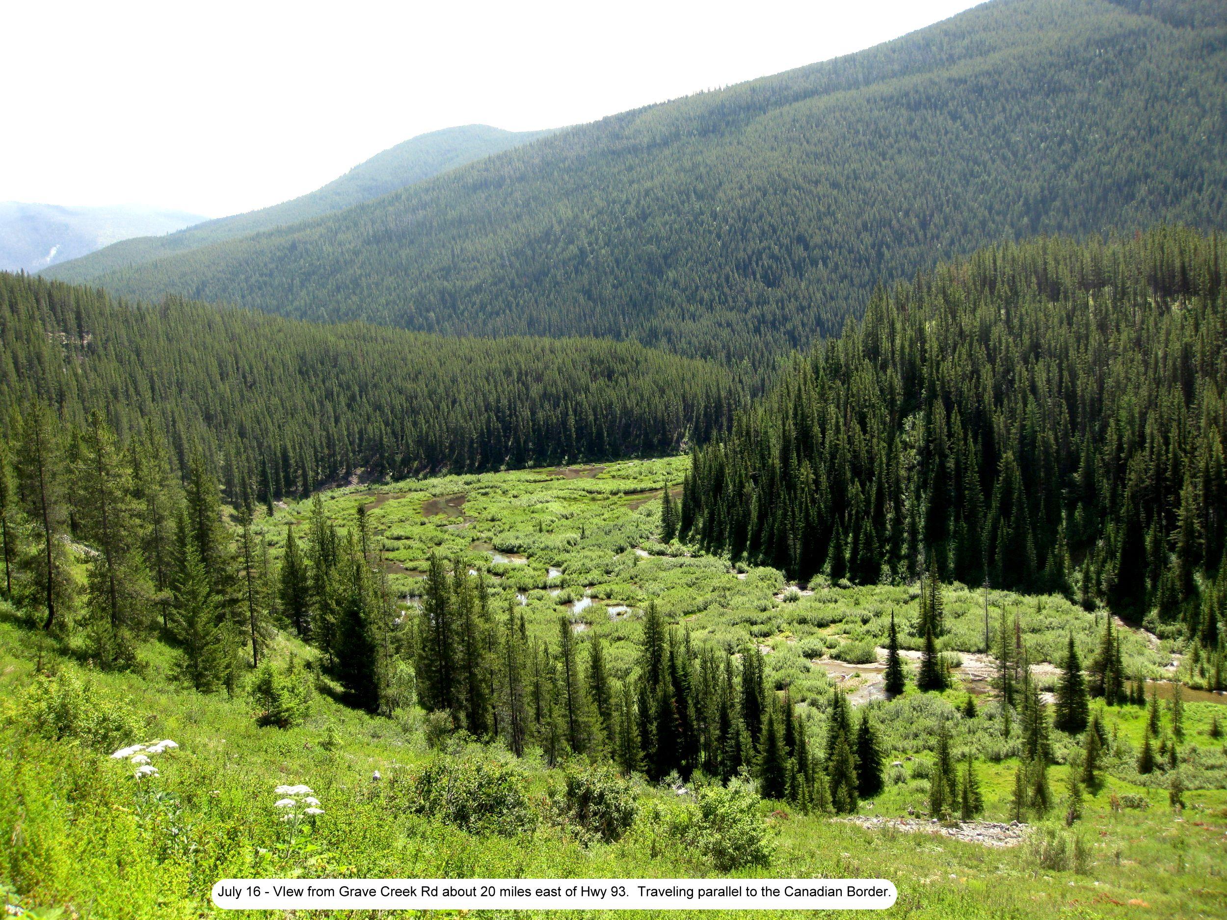
Photo
Topographic Map of Tuchuck Campground, NF-, Eureka, MT, United States
Find elevation by address:

Places near Tuchuck Campground, NF-, Eureka, MT, United States:
Cleft Rock Mountain
Review Mountain South
Mount Hefty
Tuchuck Mountain
Review Mountain North
Wedge Mountain
16120 N Fork Rd
Couldrey Ridge
Moose Creek Road
15633 N Fork Rd
Mount Wam
744 Deep Woods Trail
Stahl Peak
Little Therriault Lake Campground
Saint Clair Peak
490 Griffith Creek Rd
677 Metzner Dr
507 Vukonich Ln
Galton Range
Mount Doupe
Recent Searches:
- Elevation of Corso Fratelli Cairoli, 35, Macerata MC, Italy
- Elevation of Tallevast Rd, Sarasota, FL, USA
- Elevation of 4th St E, Sonoma, CA, USA
- Elevation of Black Hollow Rd, Pennsdale, PA, USA
- Elevation of Oakland Ave, Williamsport, PA, USA
- Elevation of Pedrógão Grande, Portugal
- Elevation of Klee Dr, Martinsburg, WV, USA
- Elevation of Via Roma, Pieranica CR, Italy
- Elevation of Tavkvetili Mountain, Georgia
- Elevation of Hartfords Bluff Cir, Mt Pleasant, SC, USA