Elevation of N Fork Rd, Polebridge, MT, USA
Location: United States > Montana > Polebridge >
Longitude: -114.43300
Latitude: 48.937613
Elevation: 1247m / 4091feet
Barometric Pressure: 87KPa
Elevation Map:
Satellite Map:
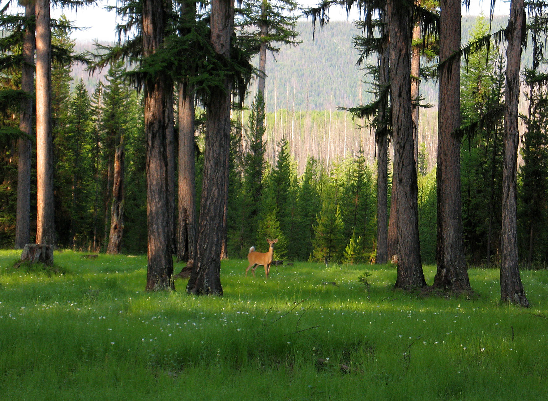
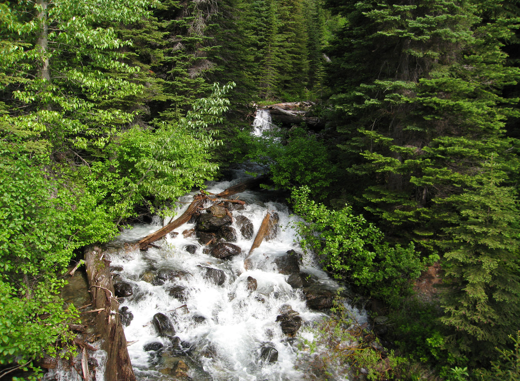
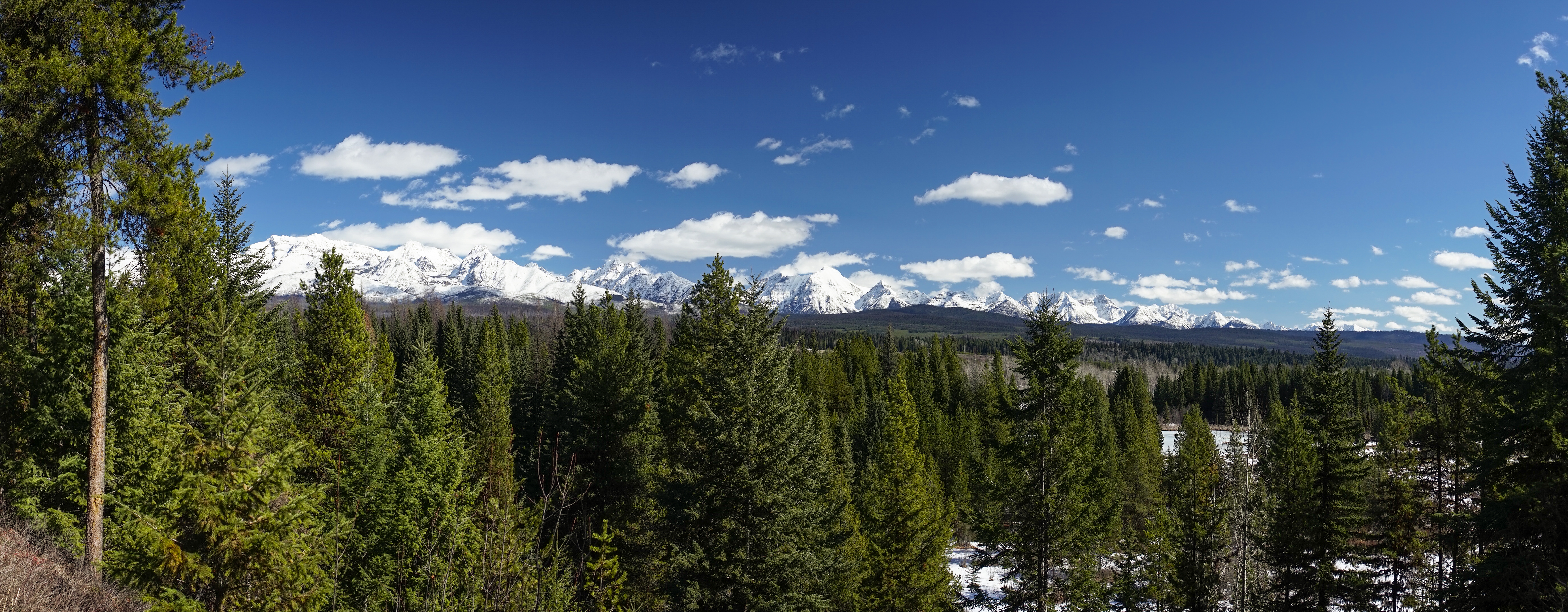
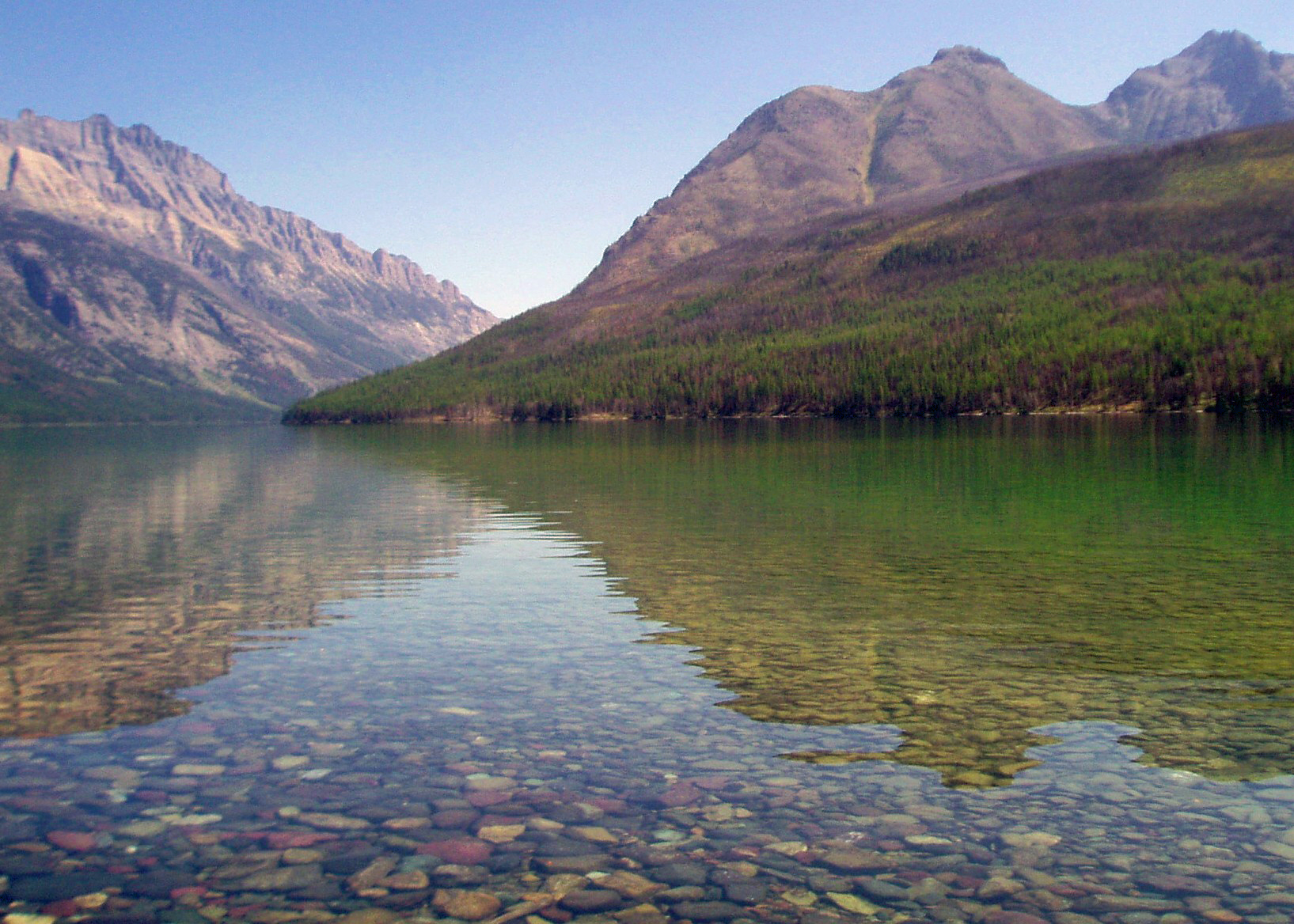
Related Photos:
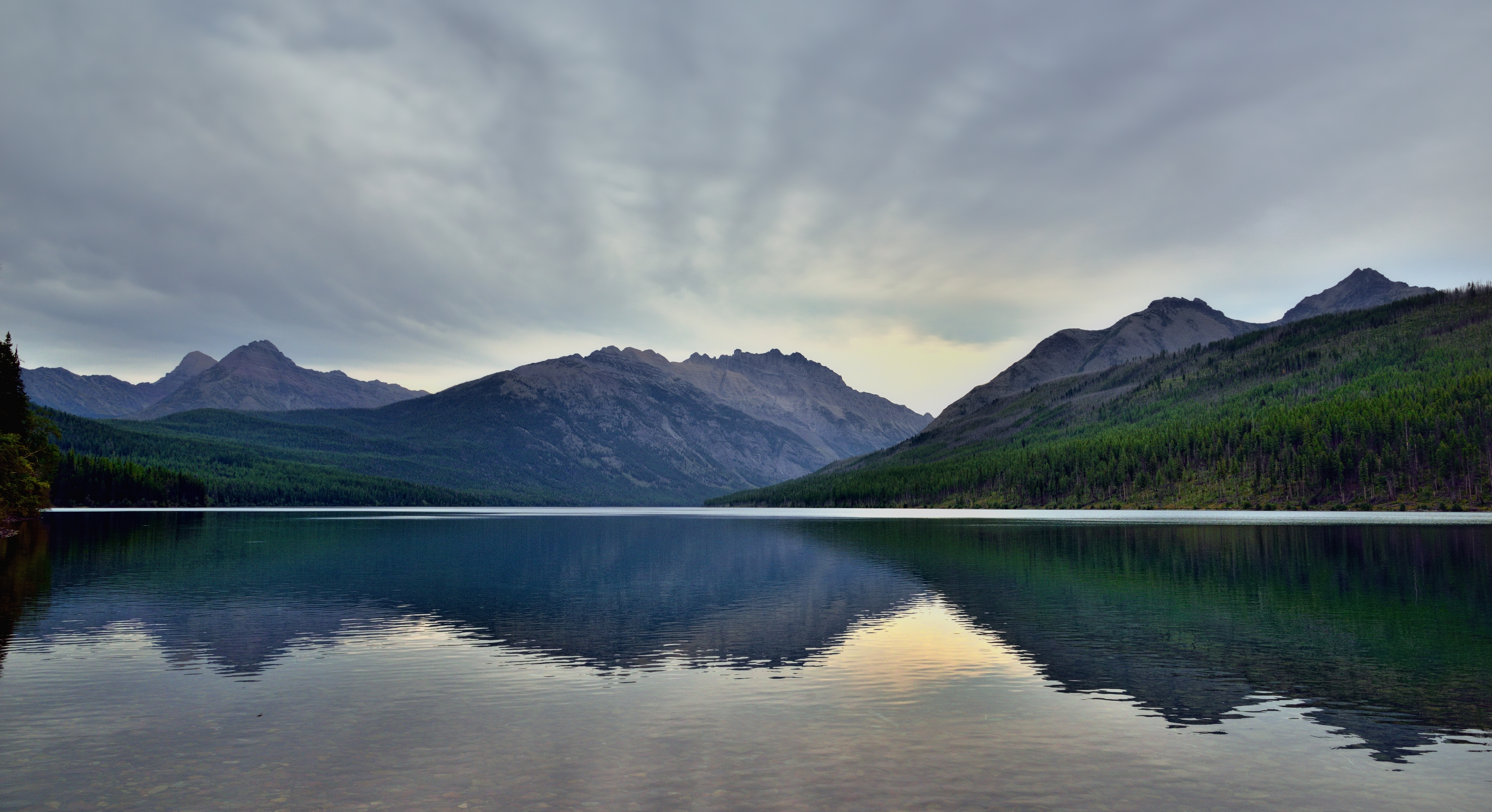
Kintla Lake, The Boundary Mountains and a View into Canada
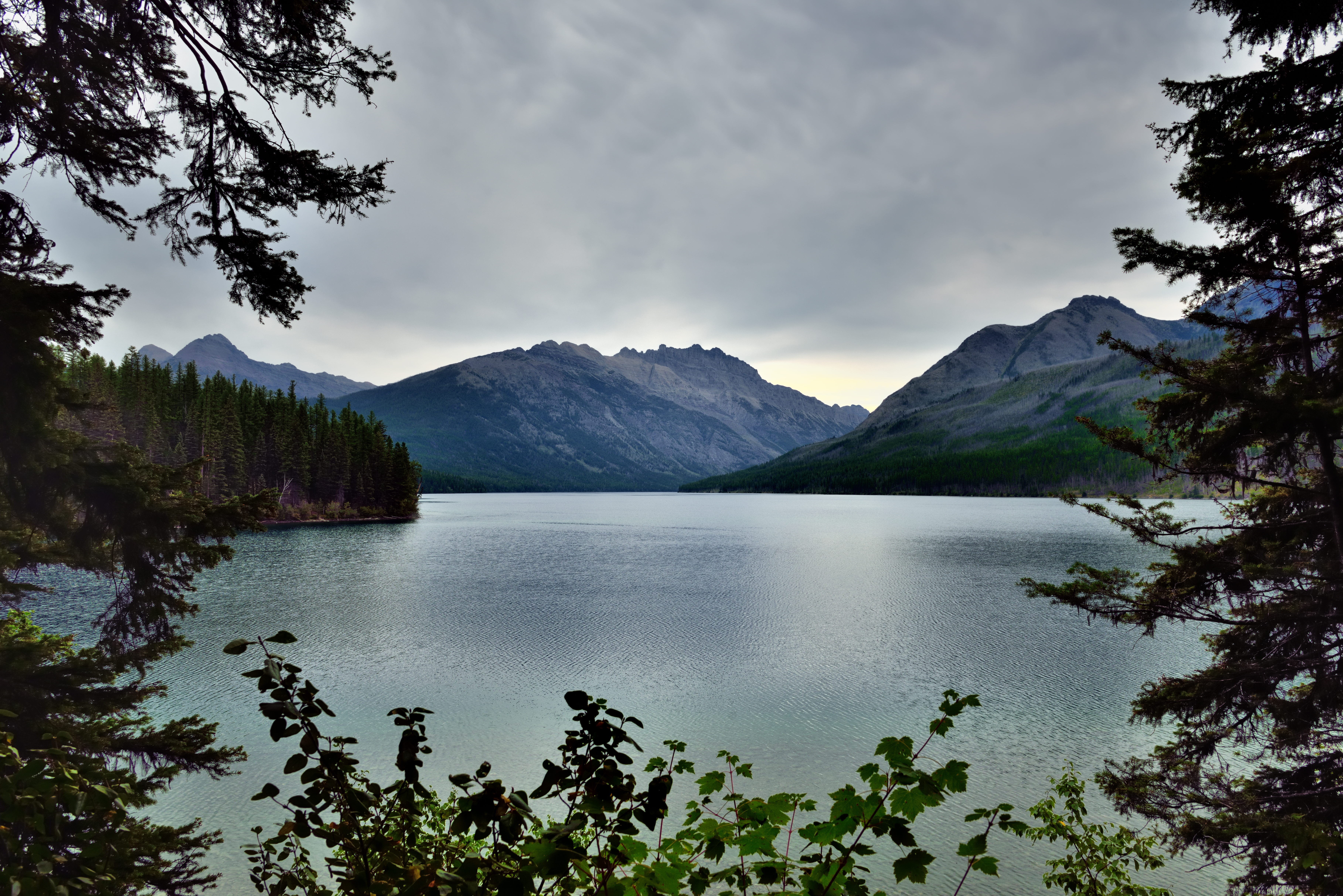
Framing a Mountain View in Glacier National Park
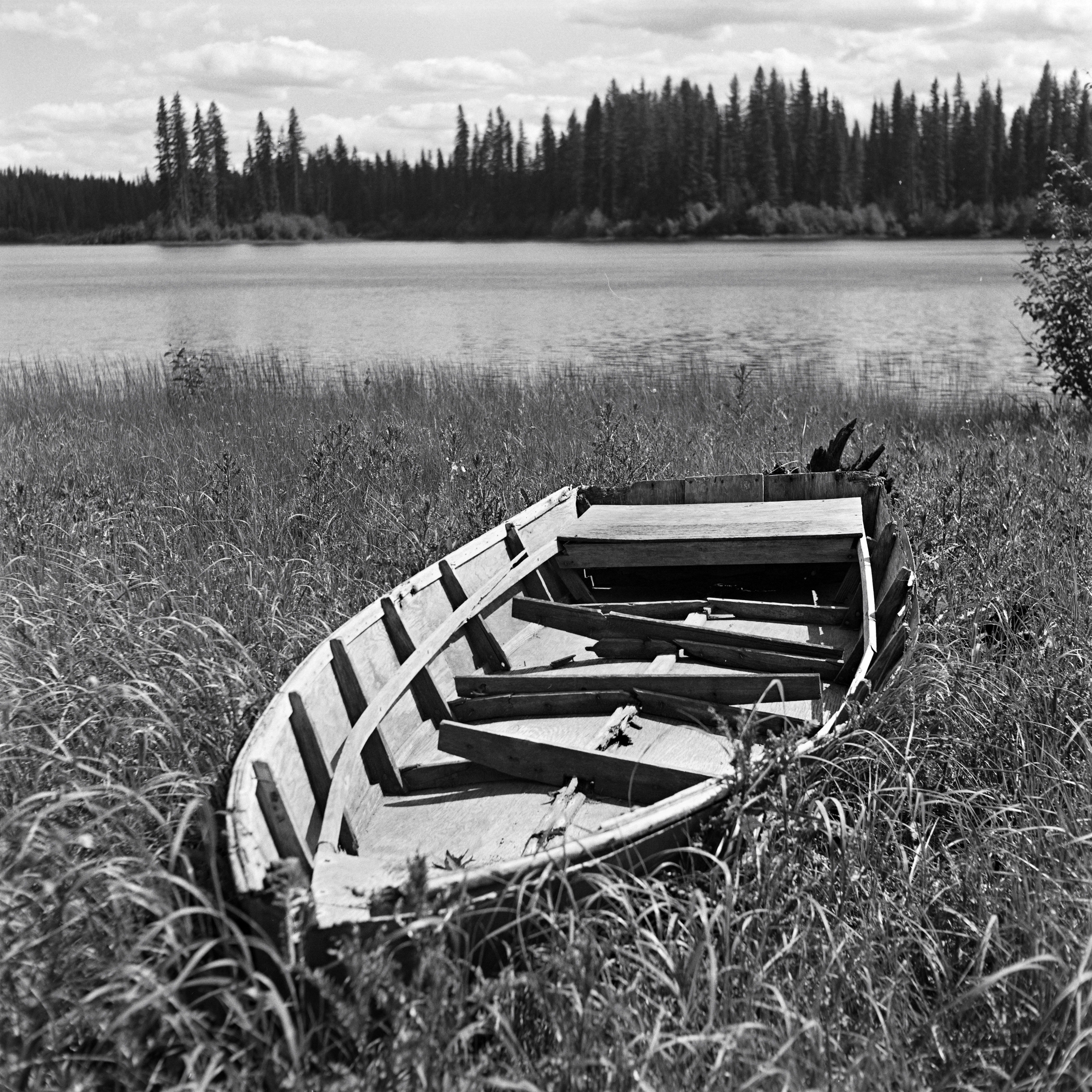
old boat, Procter Lake in the Flathead valley, B.C.
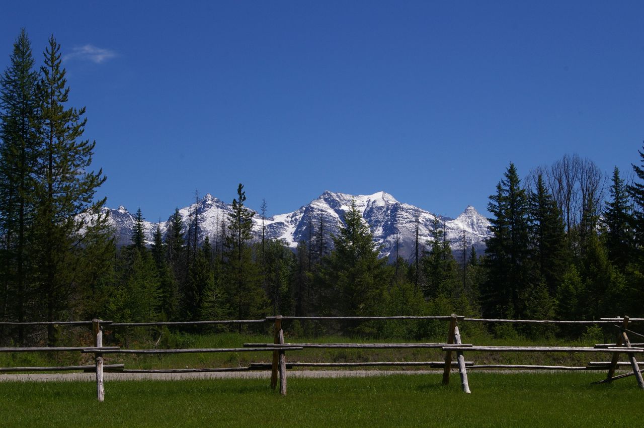
Frank's View
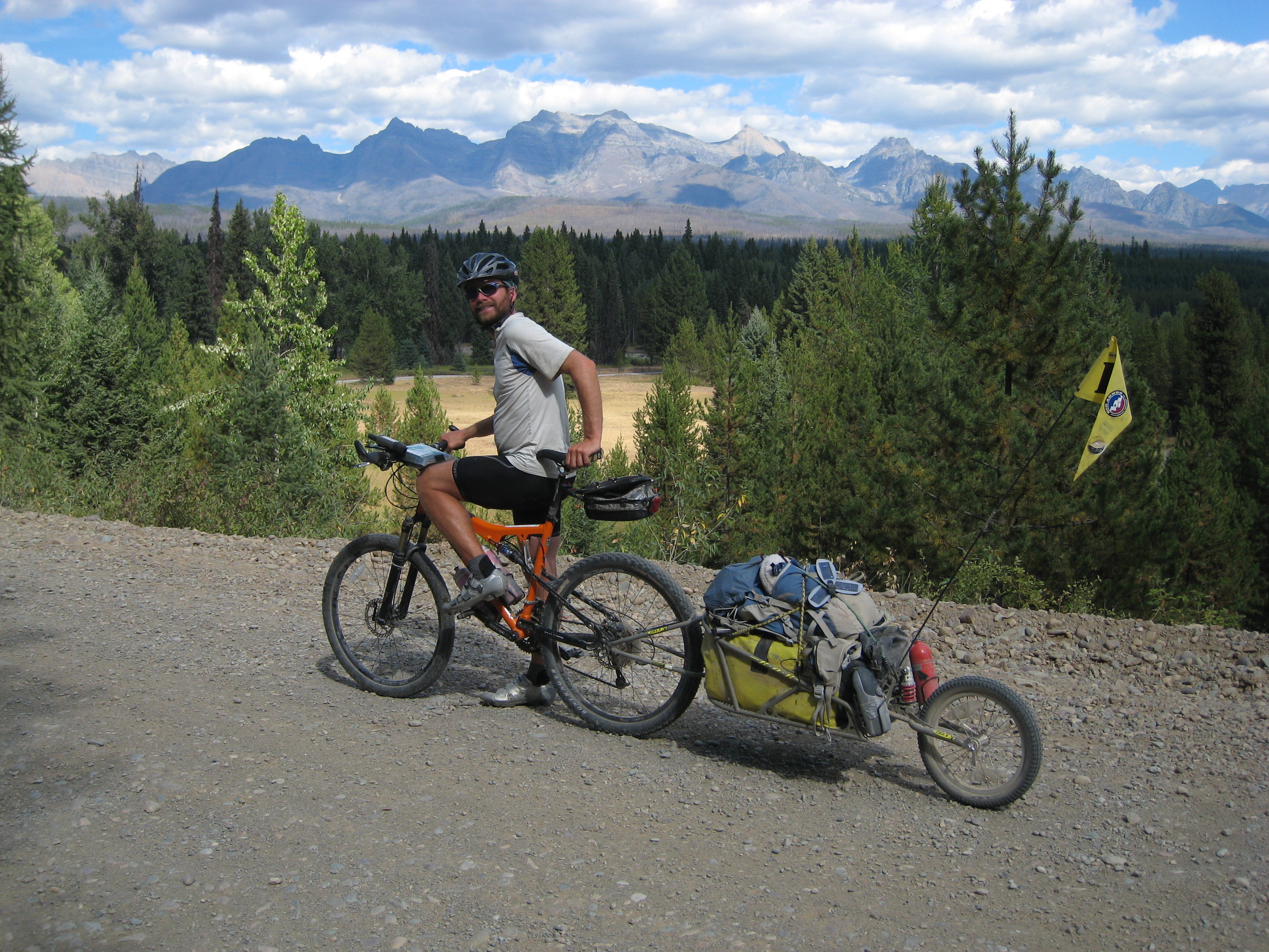
Welcome to Mile 55

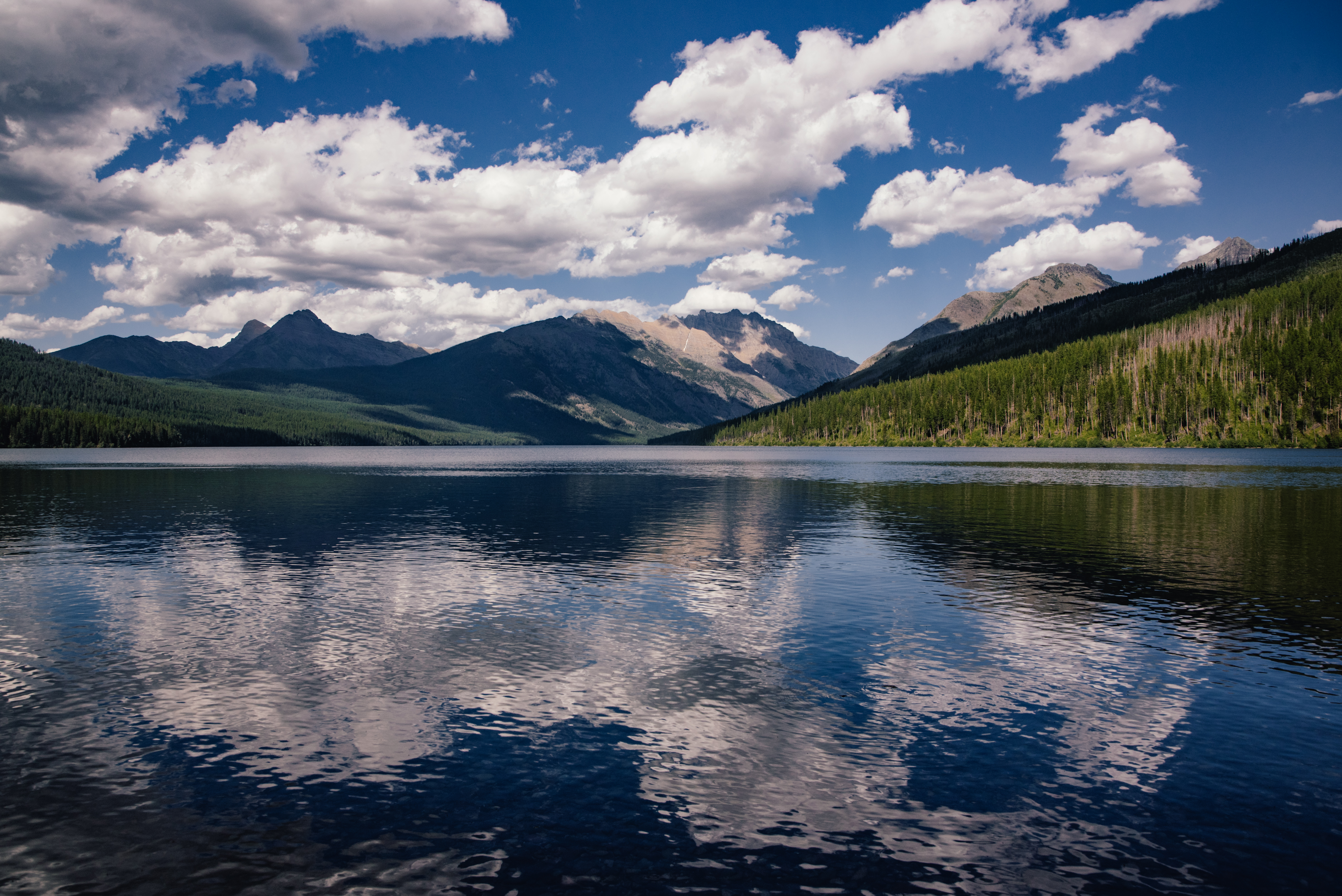
Kintla Lake Pano
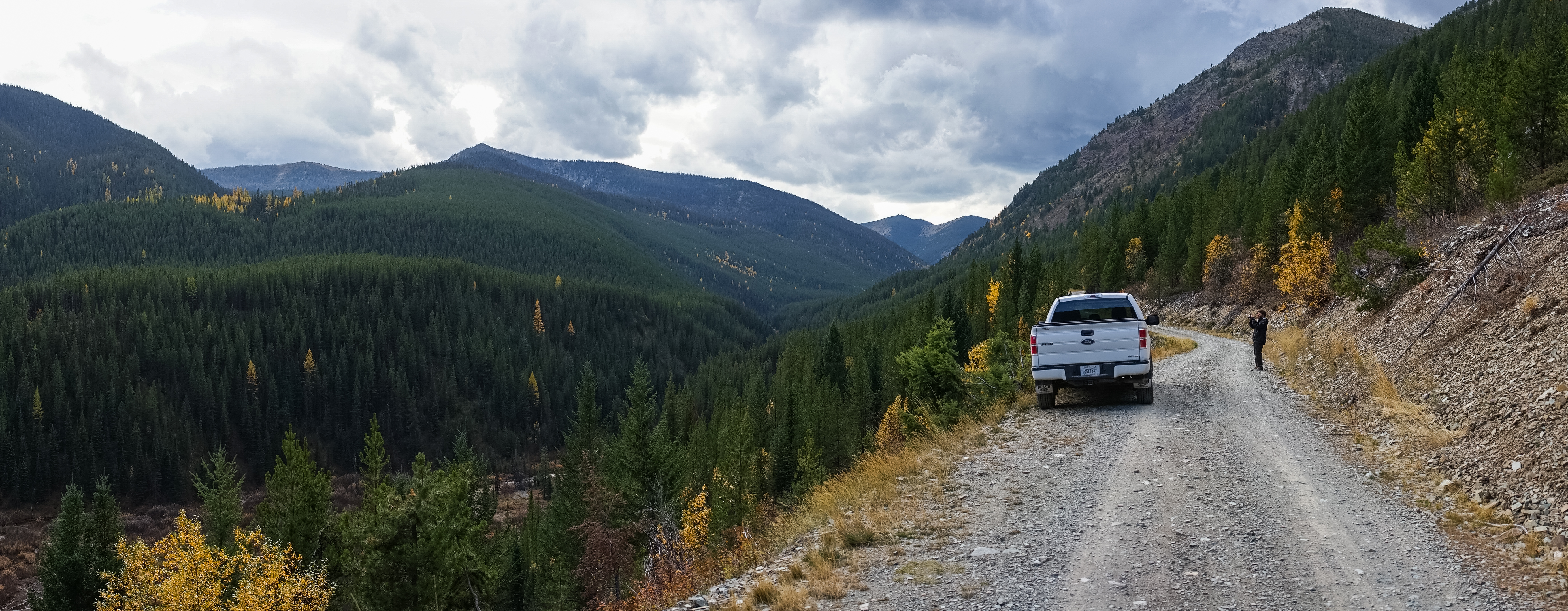
4 wheeling spot off of Knitla Lake Road

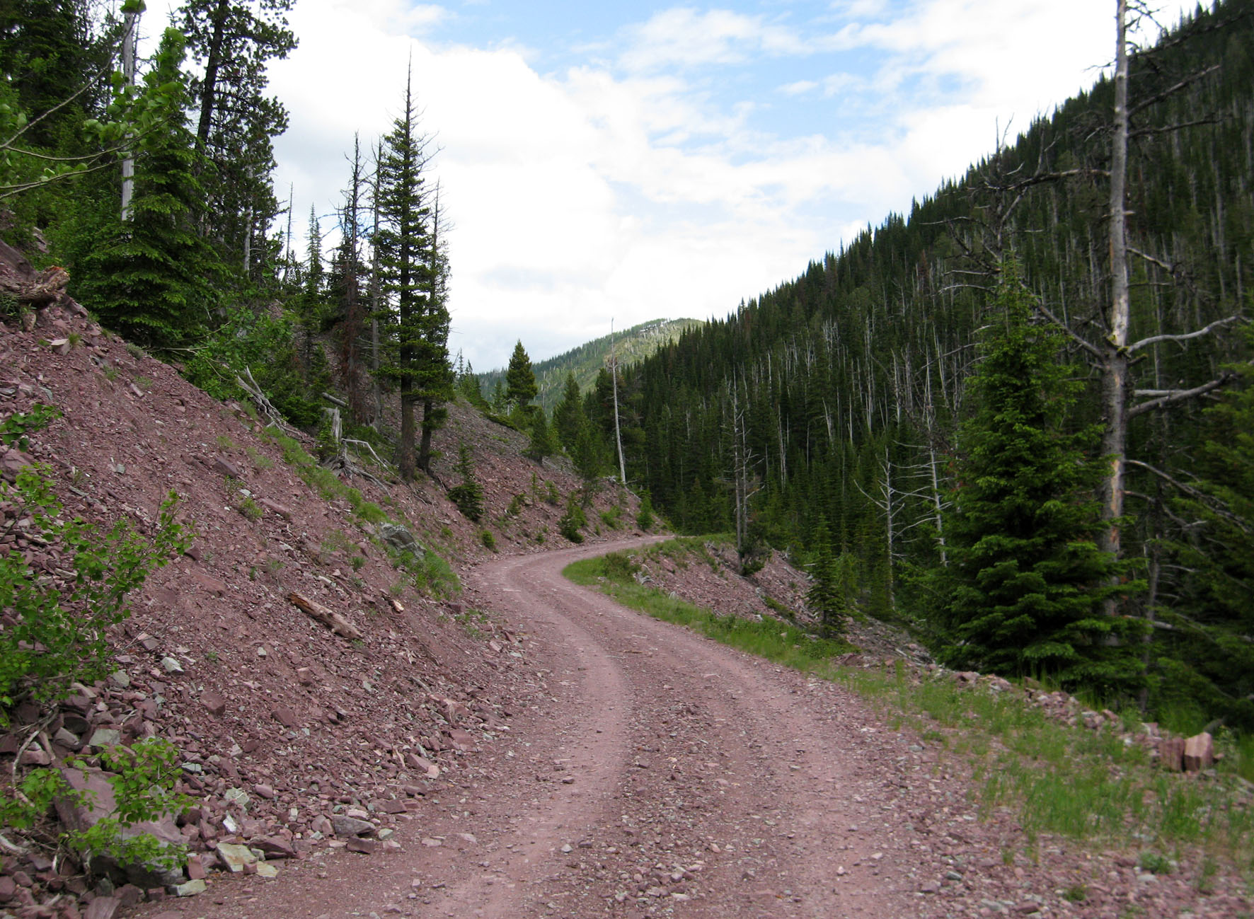
Knitla Lake Road
cloudy distortions
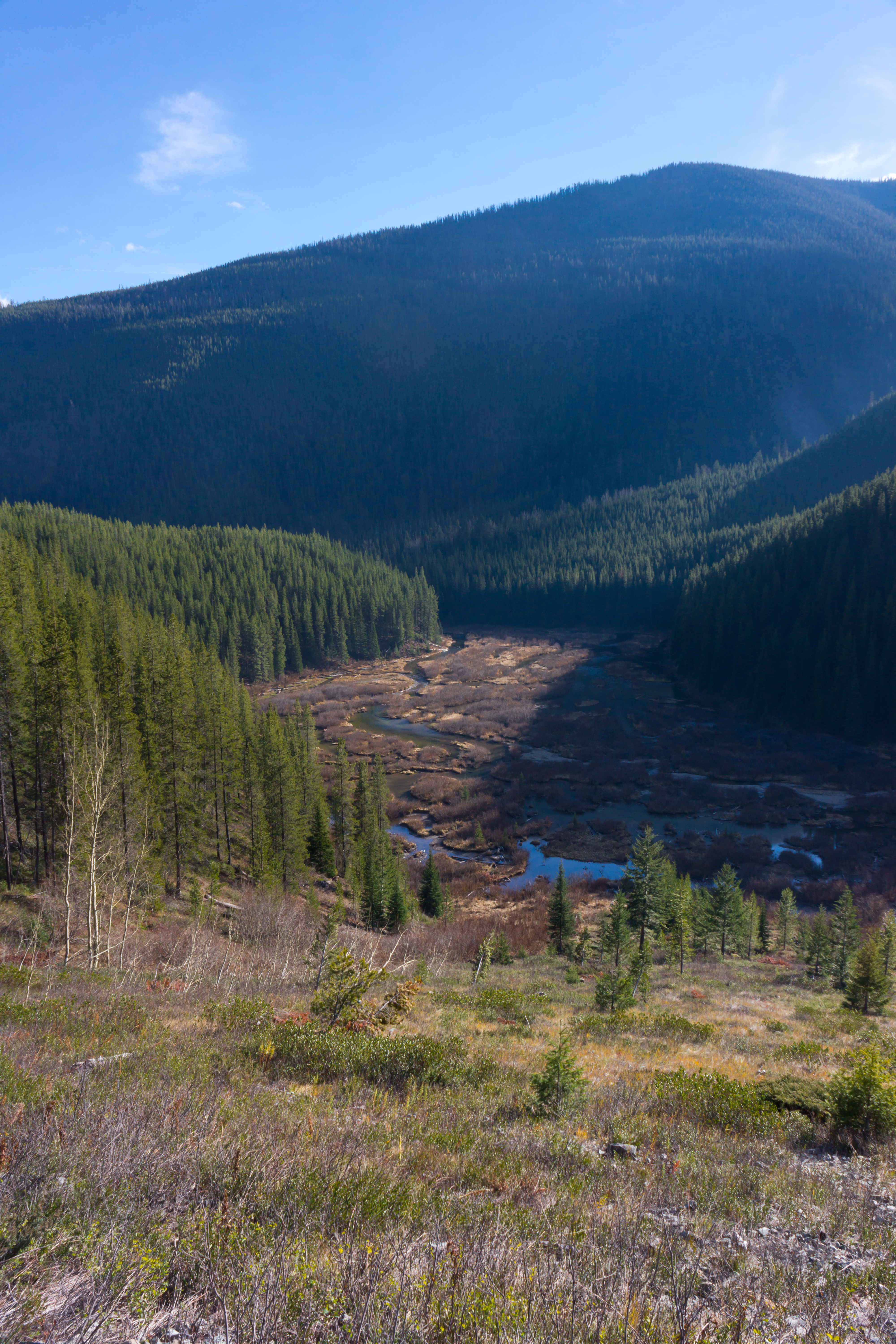
Yakinikak Creek Beaver Ponds
Whitefish Divide (2) - Montana
Knitla Lake Road
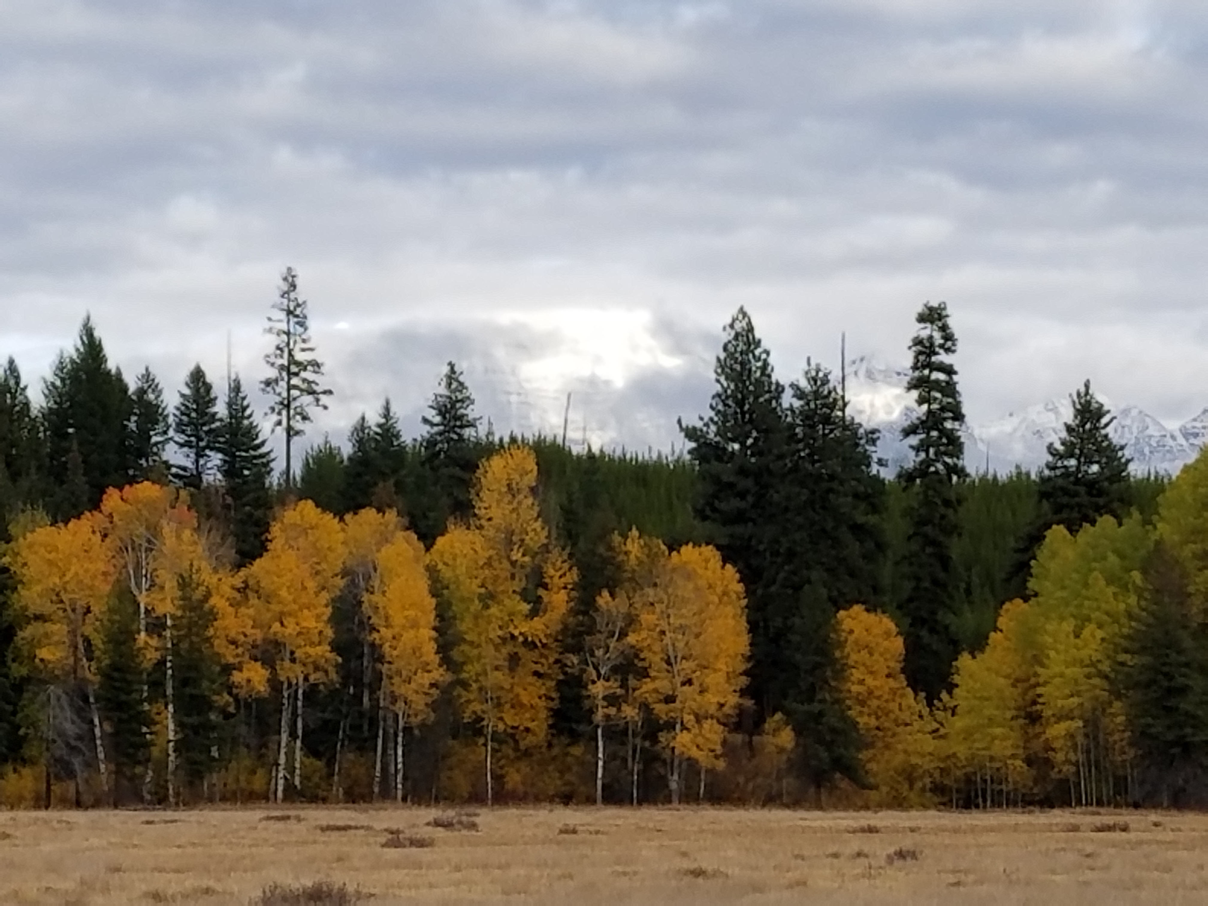
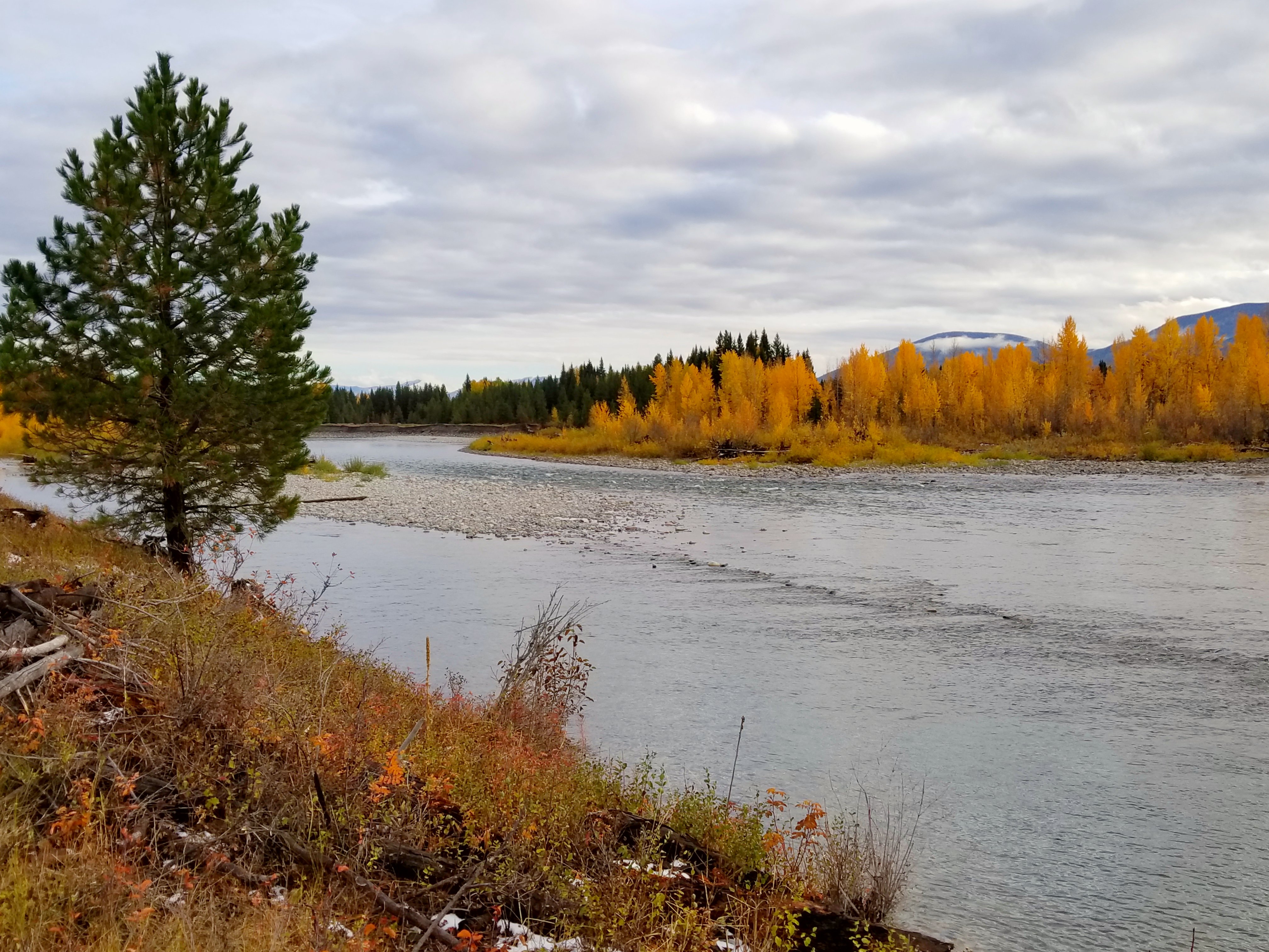
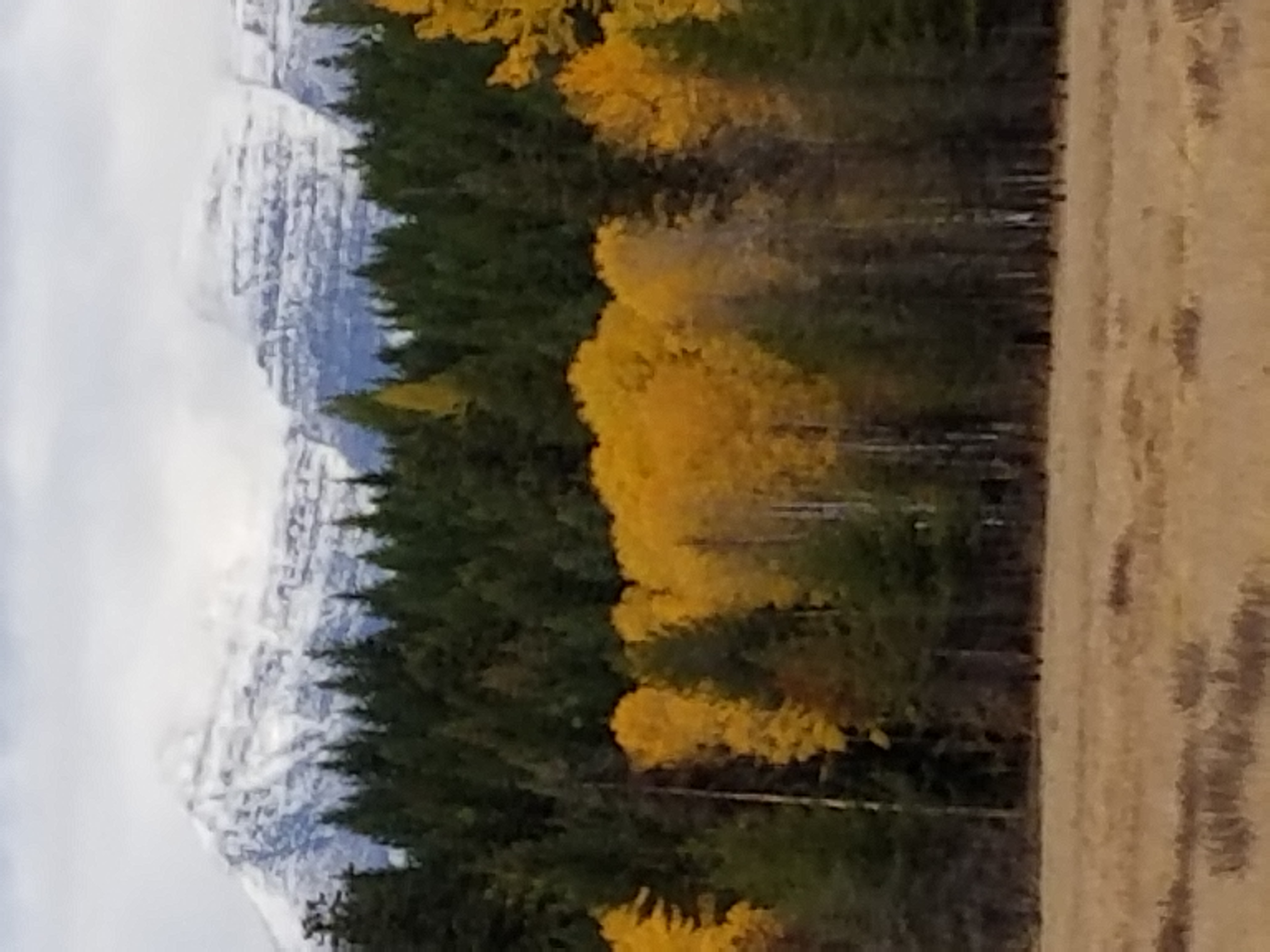
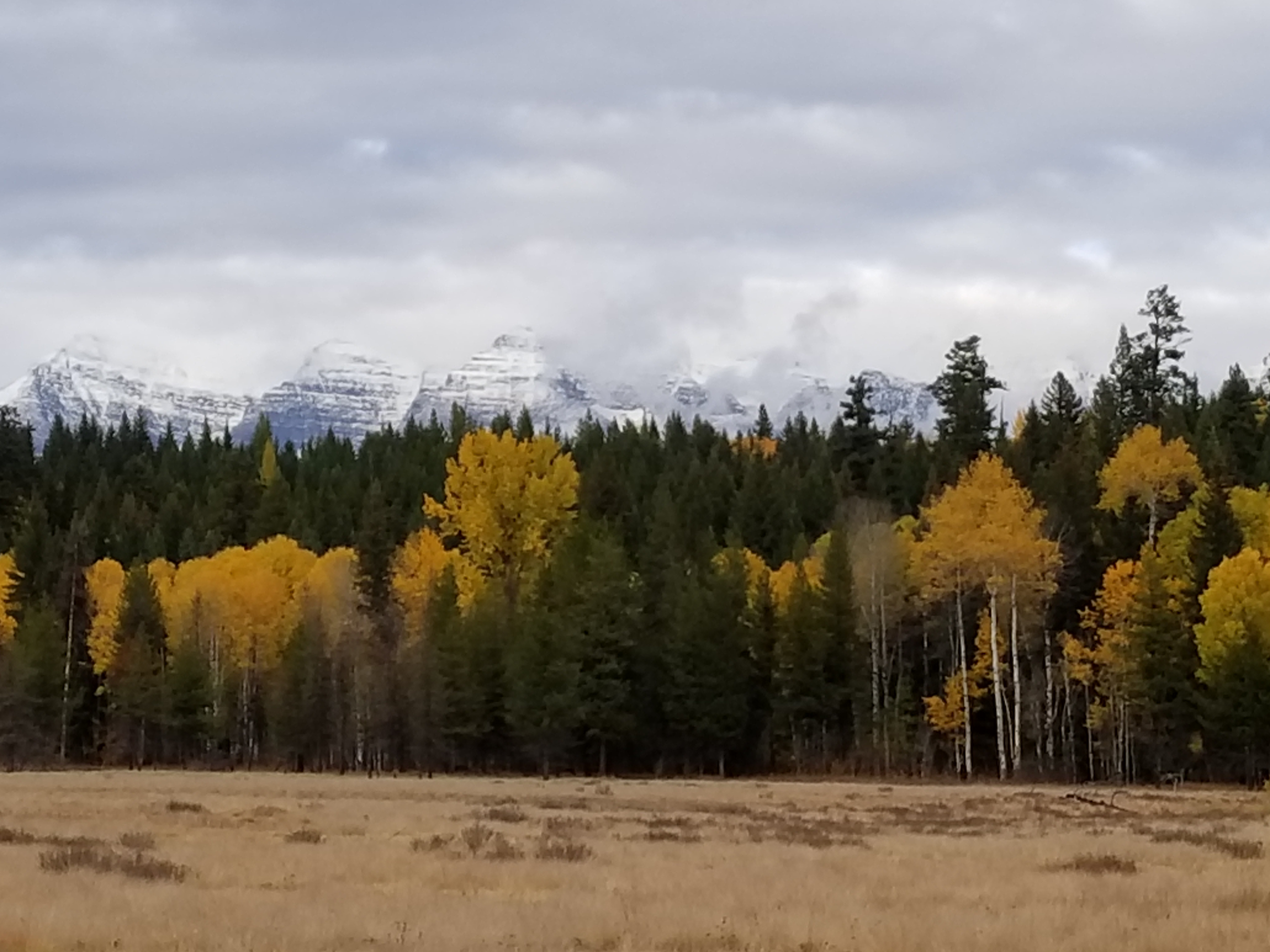
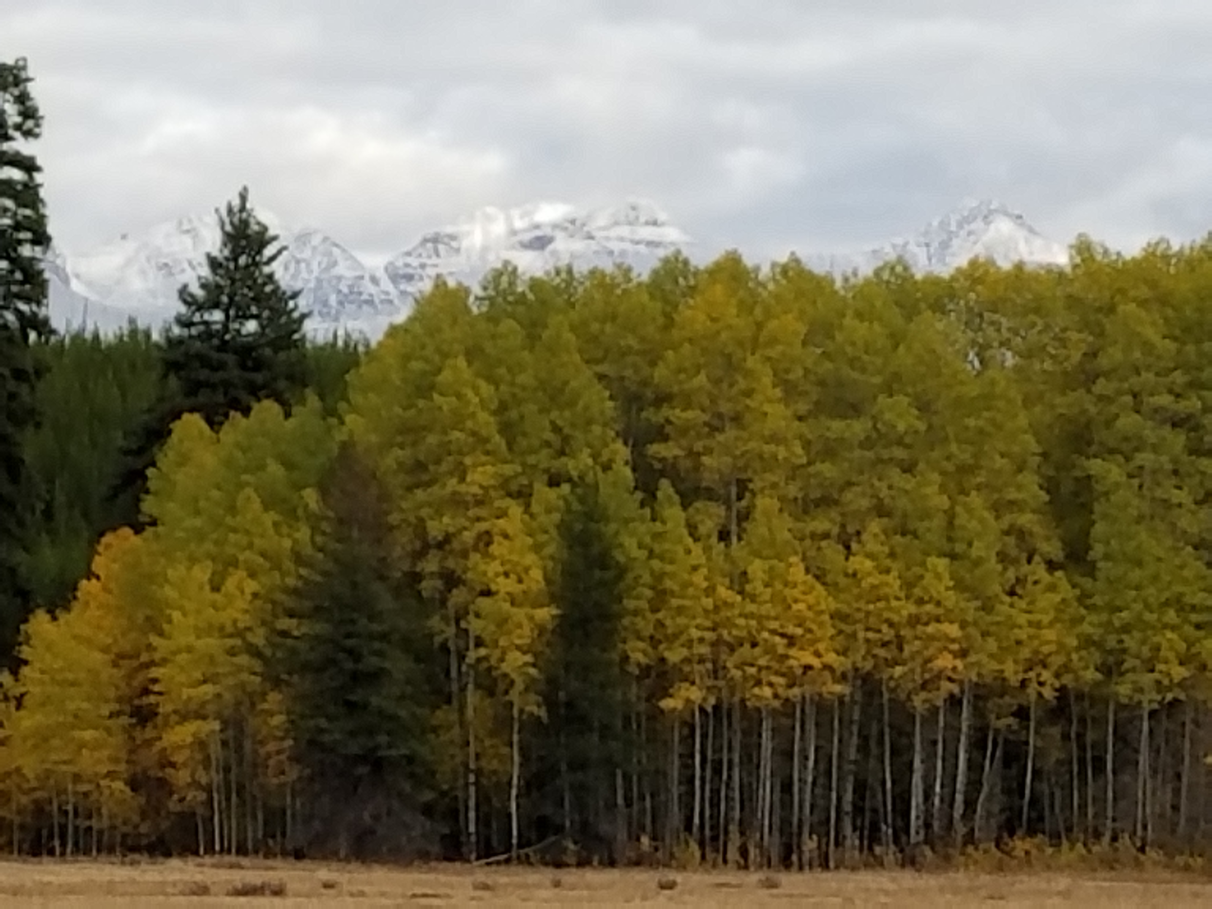
Montana fall colors and mountains
Knitla Lake Road
Kintla Lake Road
Trail Creek Road

Yakiniak Creek

IMG_3086 IMG_20160916_132148756_HDR
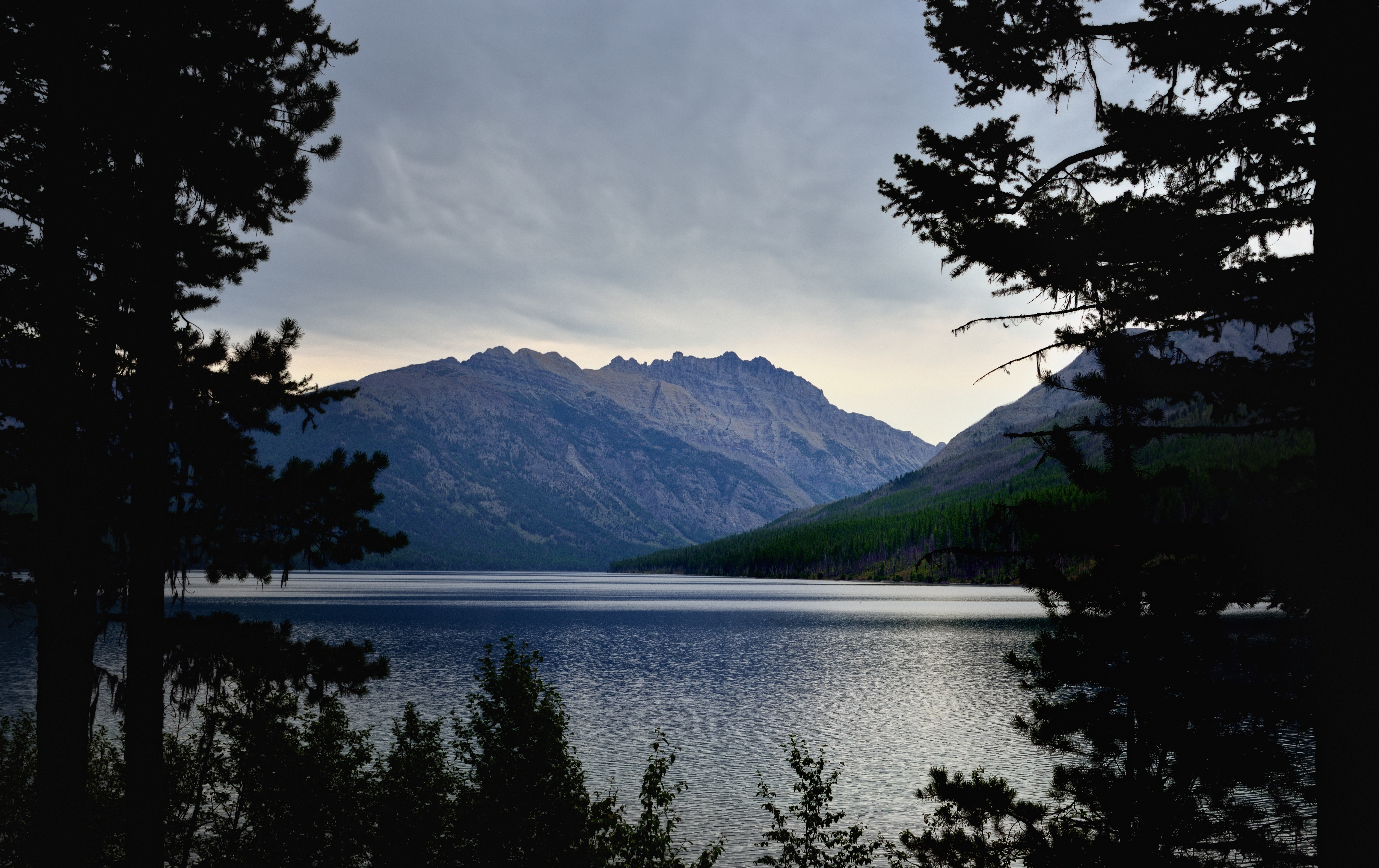
Kintla Lake though the Trees (Glacier National Park)

IMG_3087 IMG_20160916_132158491
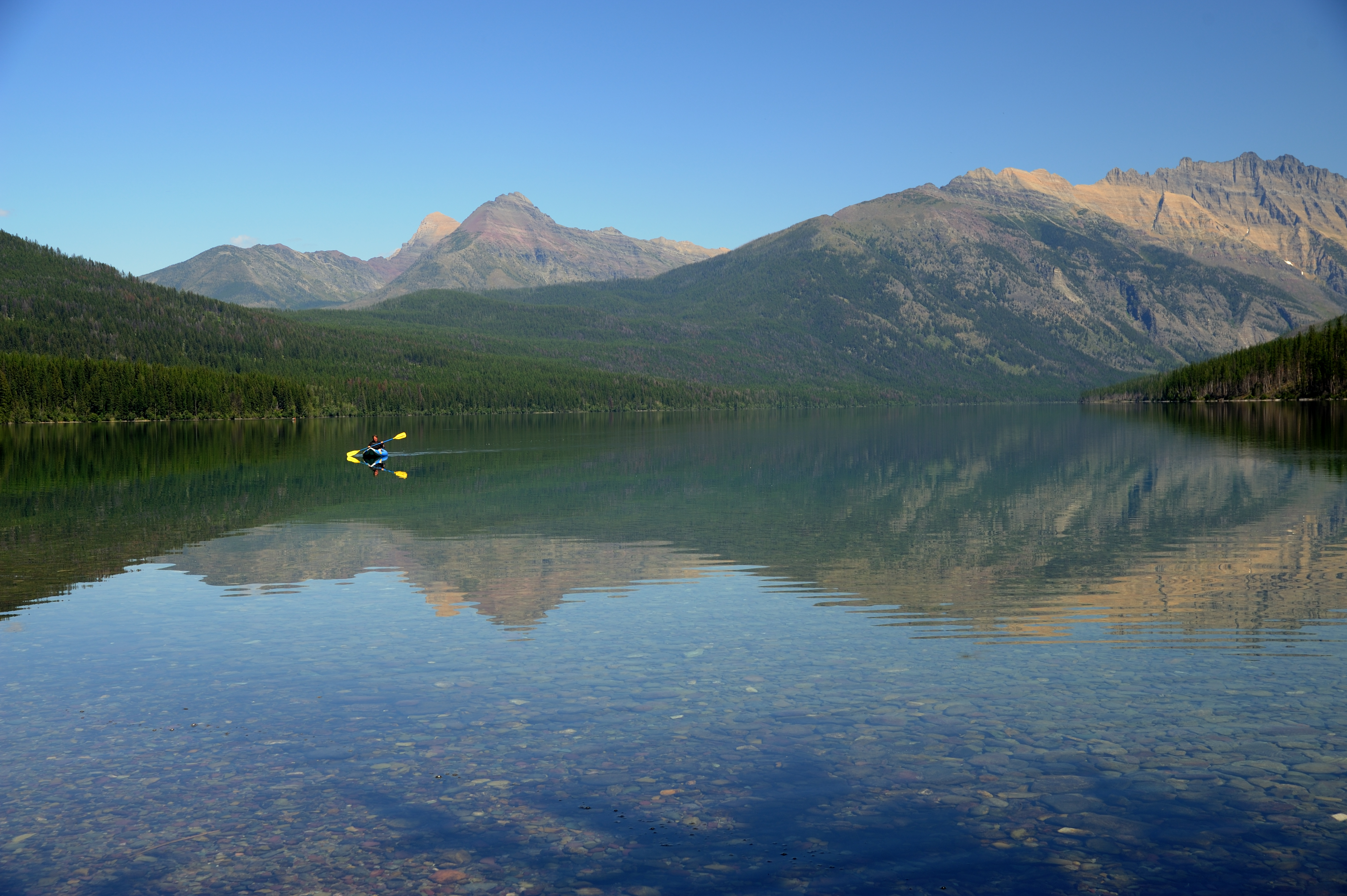
Kintla Lake

IMG_3089 IMG_20160916_132457029
Flathead National Forest (2) - Montana
Flathead National Forest (4) - Montana
Snaus Cabin View
Lake 2
Topographic Map of N Fork Rd, Polebridge, MT, USA
Find elevation by address:

Places near N Fork Rd, Polebridge, MT, USA:
16120 N Fork Rd
Wedge Mountain
Cleft Rock Mountain
744 Deep Woods Trail
Moose Creek Road
Mount Hefty
Tuchuck Campground
King Edward Peak
Starvation Peak
Parke Peak
Polebridge
Reuter Peak
Long Knife Peak
Review Mountain South
Tuchuck Mountain
Bowman Lake Campground
Kintla Peak
Numa Ridge North
Boulder Pass Trail
Review Mountain North
Recent Searches:
- Elevation of Unnamed Road, Respublika Severnaya Osetiya — Alaniya, Russia
- Elevation of Verkhny Fiagdon, North Ossetia–Alania Republic, Russia
- Elevation of F. Viola Hiway, San Rafael, Bulacan, Philippines
- Elevation of Herbage Dr, Gulfport, MS, USA
- Elevation of Lilac Cir, Haldimand, ON N3W 2G9, Canada
- Elevation of Harrod Branch Road, Harrod Branch Rd, Kentucky, USA
- Elevation of Wyndham Grand Barbados Sam Lords Castle All Inclusive Resort, End of Belair Road, Long Bay, Bridgetown Barbados
- Elevation of Iga Trl, Maggie Valley, NC, USA
- Elevation of N Co Rd 31D, Loveland, CO, USA
- Elevation of Lindever Ln, Palmetto, FL, USA