Elevation map of Tsagaan Subarga Hural, Mongolia
Location: Mongolia > Umnugovi > Gurvantes >
Longitude: 101.8311
Latitude: 43.56776
Elevation: 1826m / 5991feet
Barometric Pressure: 81KPa
Elevation Map:
Satellite Map:
Related Photos:
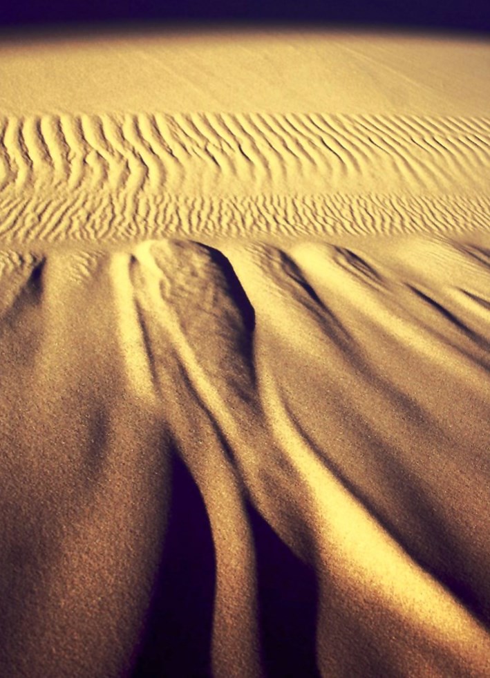
20080527 Khongoryn Els Sand Dunes, Gobi Gurvansaikhan National Park, Mongolia R002
Topographic Map of Tsagaan Subarga Hural, Mongolia
Find elevation by address:

Recent Searches:
- Elevation of Calais Dr, Del Mar, CA, USA
- Elevation of Placer Mine Ln, West Jordan, UT, USA
- Elevation of E 63rd St, New York, NY, USA
- Elevation of Elk City, OK, USA
- Elevation of Erika Dr, Windsor, CA, USA
- Elevation of Village Ln, Finleyville, PA, USA
- Elevation of 24 Oakland Rd #, Scotland, ON N0E 1R0, Canada
- Elevation of Deep Gap Farm Rd E, Mill Spring, NC, USA
- Elevation of Dog Leg Dr, Minden, NV, USA
- Elevation of Dog Leg Dr, Minden, NV, USA