Elevation of Troy, IA, USA
Location: United States > Iowa > Monroe County >
Longitude: -92.797901
Latitude: 41.0257183
Elevation: 293m / 961feet
Barometric Pressure: 98KPa
Elevation Map:
Satellite Map:
Related Photos:
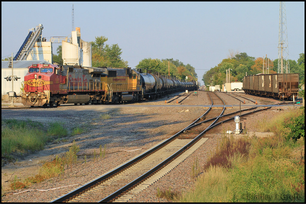
BNSF 649 - NREX 5952 - DMO - Albia IA
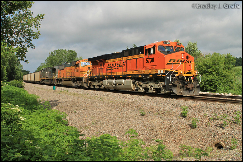
BNSF 5730 - MP 310
They're my blue sky, they're my sunny day
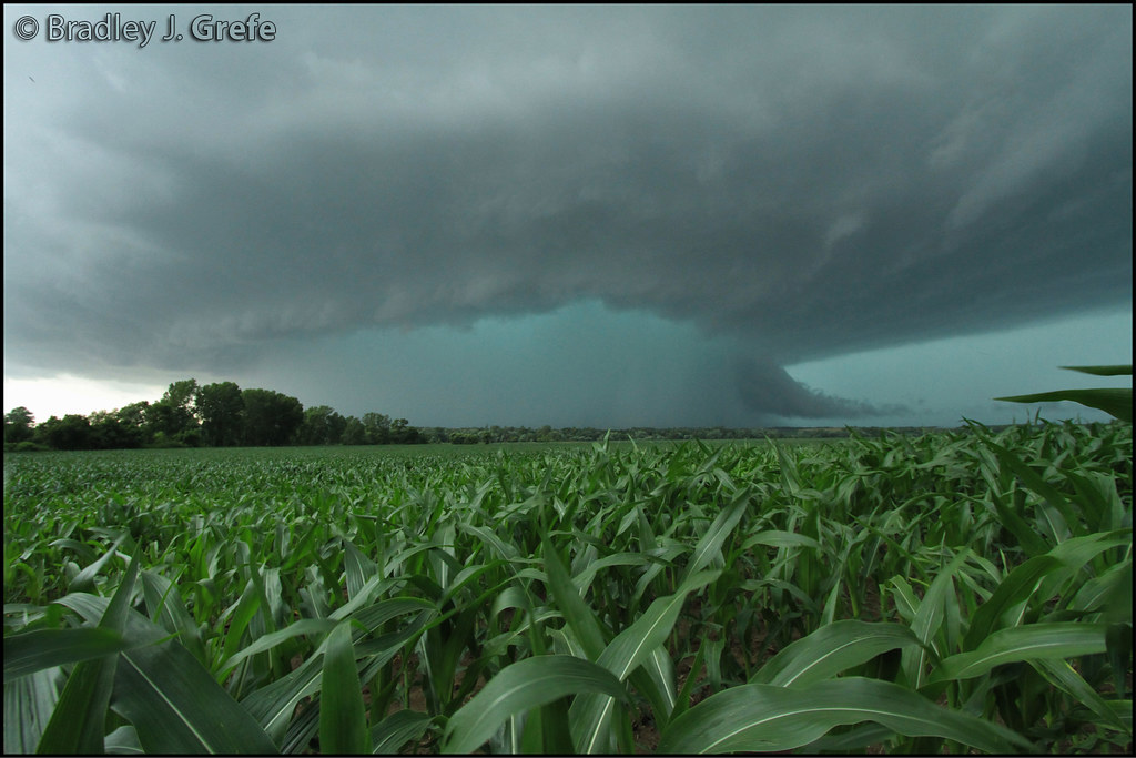
Cyclone Warning - Lovilia IA
Autumn Armour in Iowa
WQMDMO at Albia IA
BNSF 1546
Fast as the Wind

Soap Creek Watershed Tour
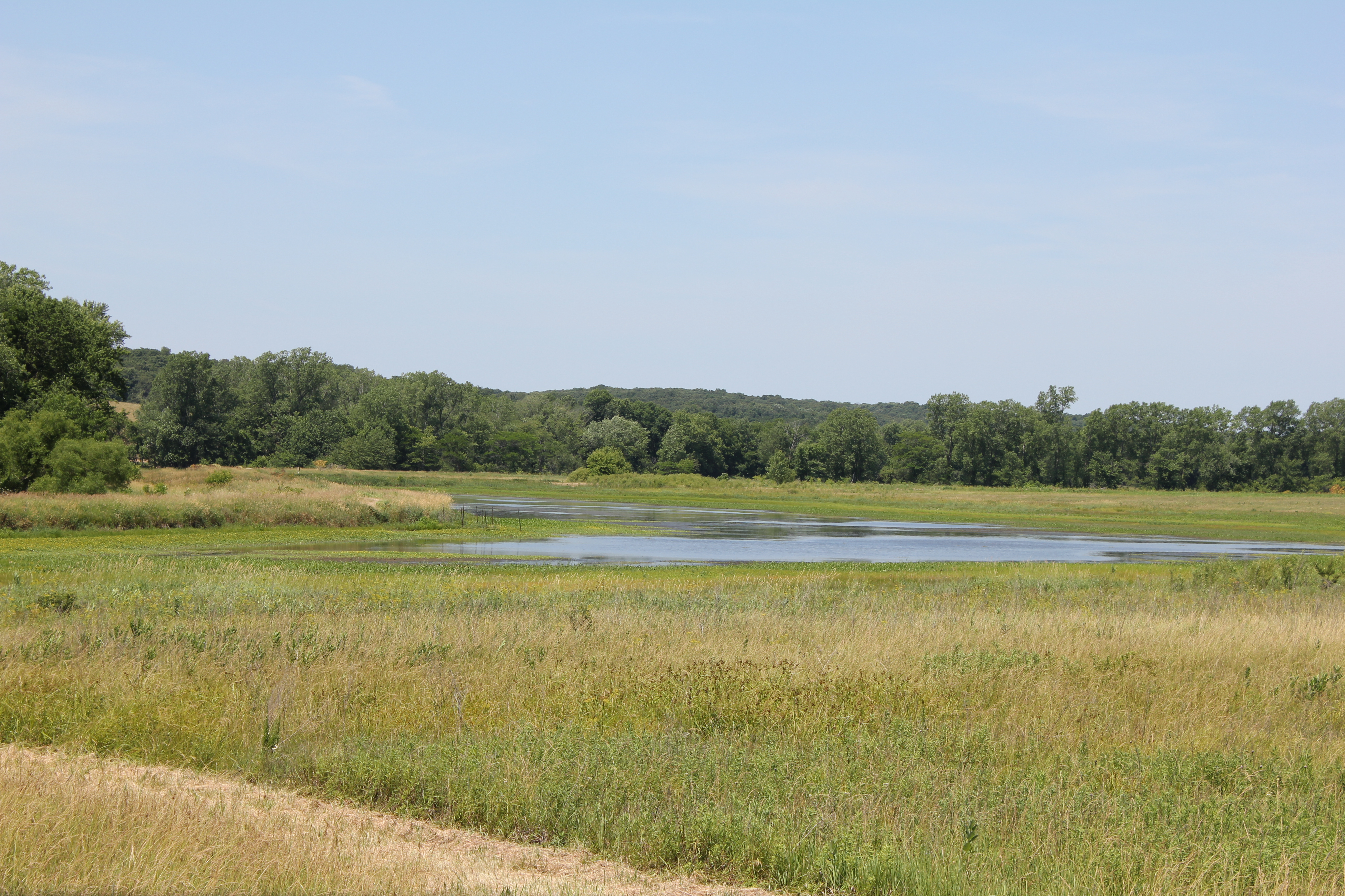
Soap Creek Wetlands
Topographic Map of Troy, IA, USA
Find elevation by address:

Places in Troy, IA, USA:
Places near Troy, IA, USA:
Albia
217 C St S
7032 201st St
Mantua
Taylor
Polk
Unionville
South St, Unionville, IA, USA
East Des Moines
2178 310th St
20751 105th St
20495 105th St
Cass
18781 125th St
Oskaloosa
213 1st Ave E
A Ave E, Oskaloosa, IA, USA
914 3rd Ave E
Mahaska County
1602 B Ave E
Recent Searches:
- Elevation of Vista Blvd, Sparks, NV, USA
- Elevation of 15th Ave SE, St. Petersburg, FL, USA
- Elevation of Beall Road, Beall Rd, Florida, USA
- Elevation of Leguwa, Nepal
- Elevation of County Rd, Enterprise, AL, USA
- Elevation of Kolchuginsky District, Vladimir Oblast, Russia
- Elevation of Shustino, Vladimir Oblast, Russia
- Elevation of Lampiasi St, Sarasota, FL, USA
- Elevation of Elwyn Dr, Roanoke Rapids, NC, USA
- Elevation of Congressional Dr, Stevensville, MD, USA