Elevation of East Des Moines, IA, USA
Location: United States > Iowa > Mahaska County >
Longitude: -92.668573
Latitude: 41.2199168
Elevation: 231m / 758feet
Barometric Pressure: 99KPa
Elevation Map:
Satellite Map:
Related Photos:

Spring Snow Driving
UPY 701 - UP 1906 - LNM44 - Eddyville IA

DSC_7030.jpg

Bandstand Panoramic
UP 519 - Eddyville IA

2nd Avenue and South Market

Panoramic of the Teklanika River Stop

Hurricane Sunset
Early Fall Corn
Iowa countryside

DSC_5683.jpg

DSC_3353.jpg

Fire Sky
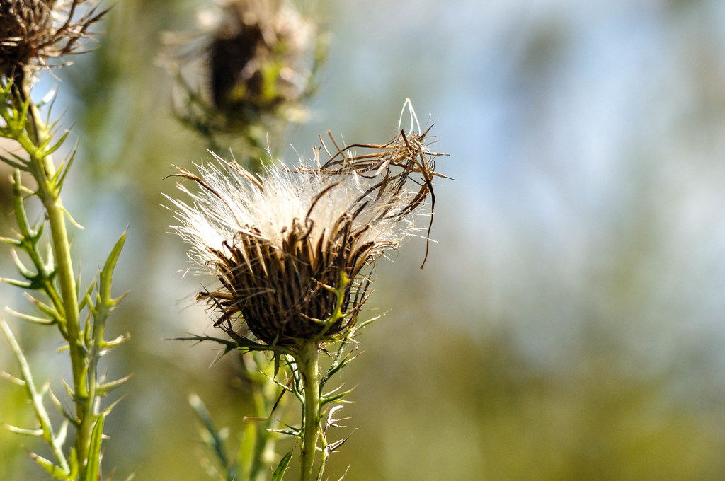
Weeds Seed
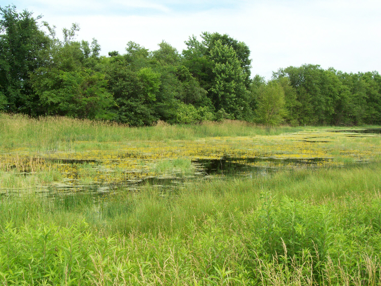
Eddyville sand prairie wetland

Burning Sunset
Topographic Map of East Des Moines, IA, USA
Find elevation by address:

Places near East Des Moines, IA, USA:
2178 310th St
Oskaloosa
213 1st Ave E
914 3rd Ave E
A Ave E, Oskaloosa, IA, USA
1602 B Ave E
1602 B Ave E
Mahaska County
Spring Creek
379-377
Keomah Village
2725 Teller Ave
Cass
Cedar
Mantua
Polk
18781 125th St
20751 105th St
20495 105th St
7032 201st St
Recent Searches:
- Elevation of W Granada St, Tampa, FL, USA
- Elevation of Pykes Down, Ivybridge PL21 0BY, UK
- Elevation of Jalan Senandin, Lutong, Miri, Sarawak, Malaysia
- Elevation of Bilohirs'k
- Elevation of 30 Oak Lawn Dr, Barkhamsted, CT, USA
- Elevation of Luther Road, Luther Rd, Auburn, CA, USA
- Elevation of Unnamed Road, Respublika Severnaya Osetiya — Alaniya, Russia
- Elevation of Verkhny Fiagdon, North Ossetia–Alania Republic, Russia
- Elevation of F. Viola Hiway, San Rafael, Bulacan, Philippines
- Elevation of Herbage Dr, Gulfport, MS, USA