Elevation of Trout Lake, BC V0E, Canada
Location: Canada > British Columbia > Columbia-shuswap > Columbia-shuswap B >
Longitude: -117.54037
Latitude: 50.651292
Elevation: 731m / 2398feet
Barometric Pressure: 93KPa
Elevation Map:
Satellite Map:
Related Photos:
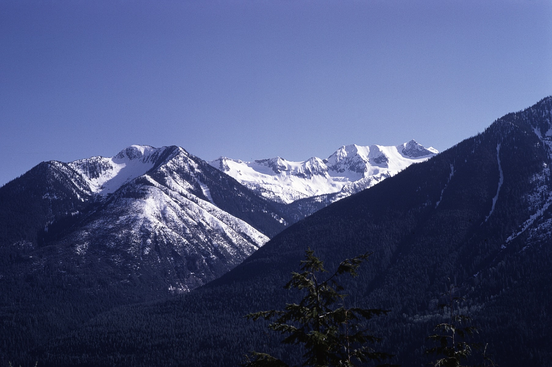
View across Trout Lake
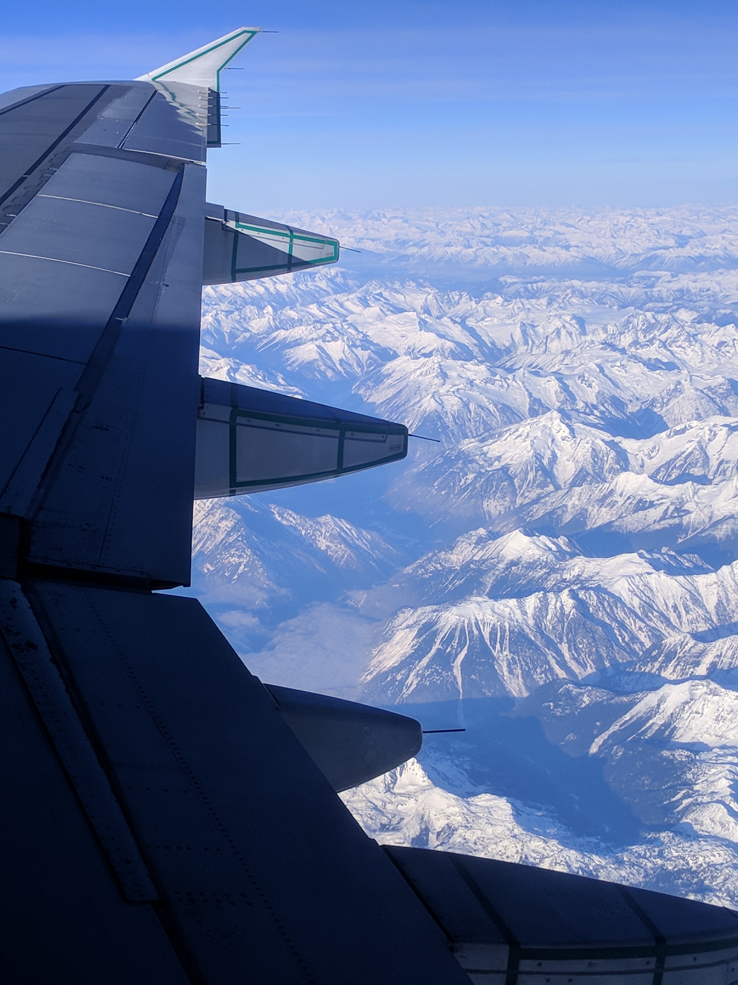
Calgary to Vancouver flight IMG_20171211_145857
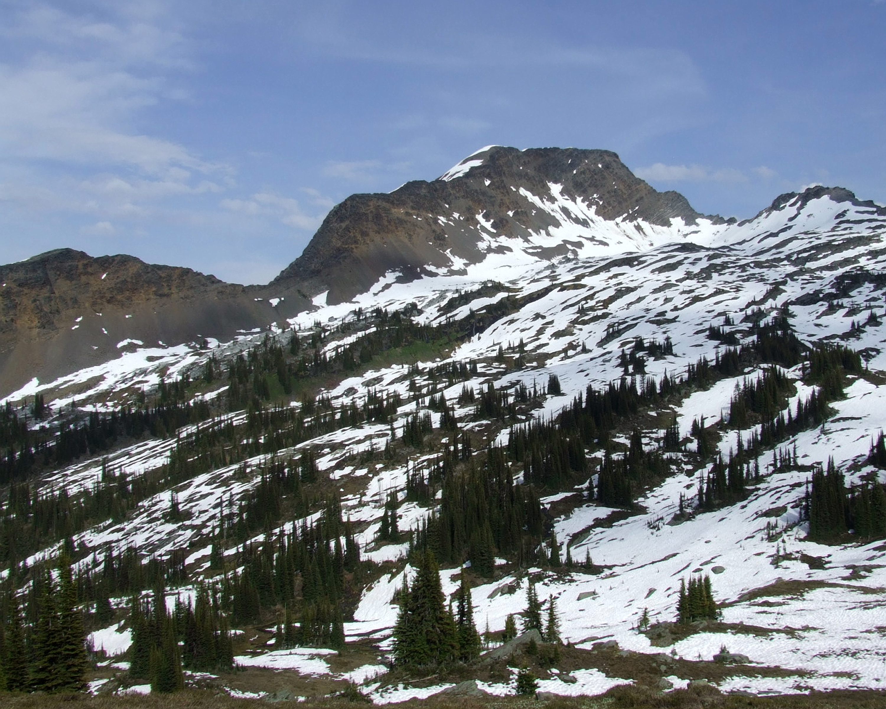
Towards Valhalla
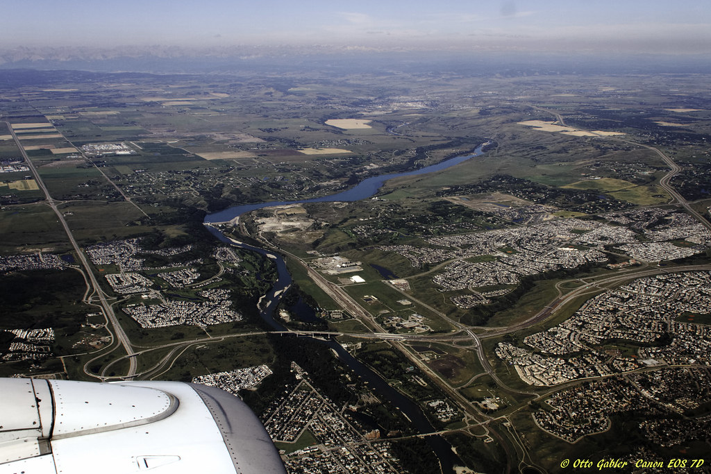
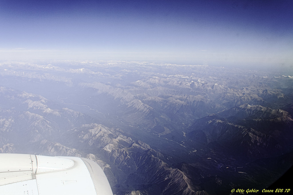
Vancouver to Calgary
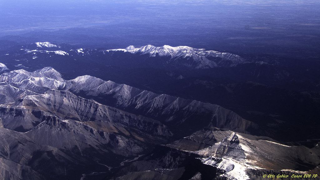
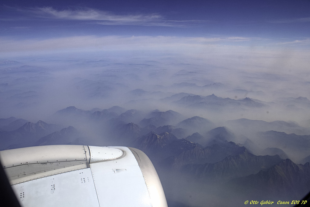
Vancouver to Calgary
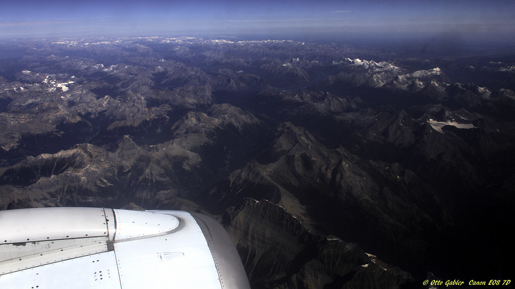
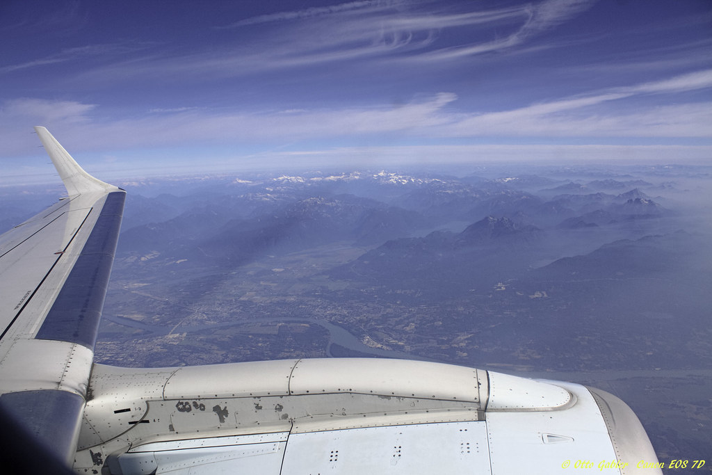
Vancouver to Calgary
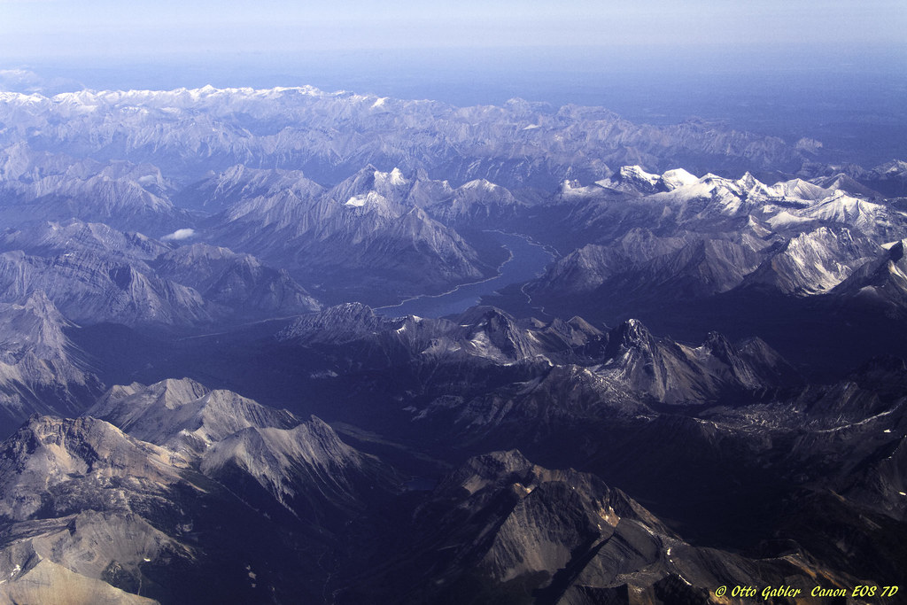
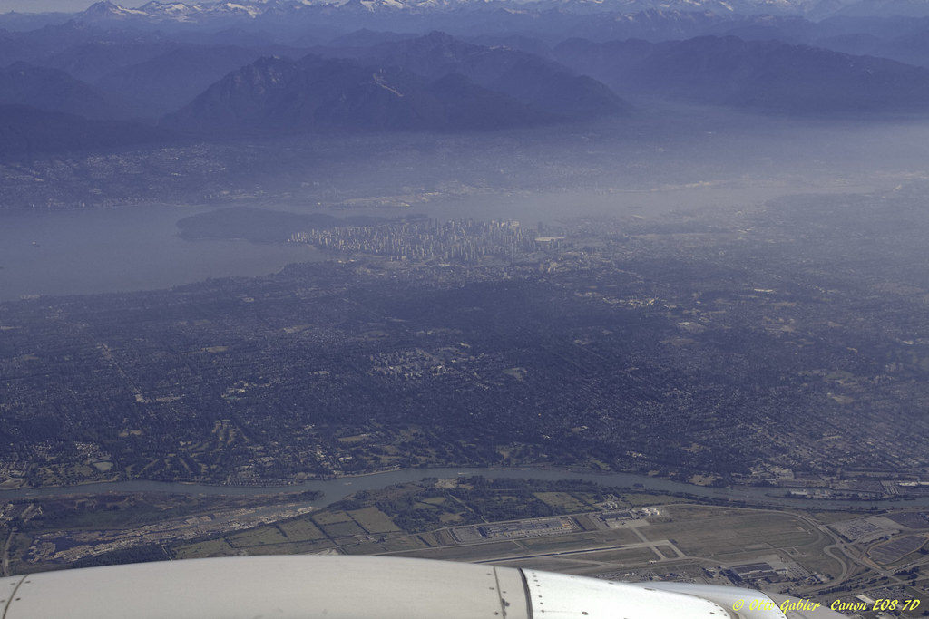
Vancouver to Calgary
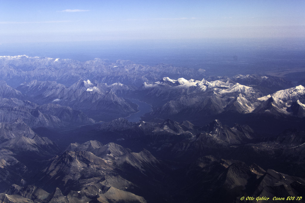
Vancouver to Calgary
Vancouver to Calgary
Vancouver to Calgary
Vancouver to Calgary
Vancouver to Calgary
Topographic Map of Trout Lake, BC V0E, Canada
Find elevation by address:

Places near Trout Lake, BC V0E, Canada:
Camborne
Galena Bay
Mount Mckinnon
Canyon Hot Springs
Illecillewaet Campground
Glacier National Park
Rogers Pass
Rogers Pass
Rogers Pass National Historic Site
Grizzly Mountain
Canadian Mountain Holidays Inc. - Bobbie Burns Lodge
Glacier National Park Of Canada
1612 Purcell Woods Cl
Iconoclast Mountain
606 12 St S
Lake Ohara Lodge Ltd
706 8 St S
Nicholson
Golden
Nicholson Rd, Golden, BC V0A 1H2, Canada
Recent Searches:
- Elevation of 24 Oakland Rd #, Scotland, ON N0E 1R0, Canada
- Elevation of Deep Gap Farm Rd E, Mill Spring, NC, USA
- Elevation of Dog Leg Dr, Minden, NV, USA
- Elevation of Dog Leg Dr, Minden, NV, USA
- Elevation of Kambingan Sa Pansol Atbp., Purok 7 Pansol, Candaba, Pampanga, Philippines
- Elevation of Pinewood Dr, New Bern, NC, USA
- Elevation of Mountain View, CA, USA
- Elevation of Foligno, Province of Perugia, Italy
- Elevation of Blauwestad, Netherlands
- Elevation of Bella Terra Blvd, Estero, FL, USA