Elevation of Trooper Lane, Trooper Ln, Loris, SC, USA
Location: United States > South Carolina > Horry County > Loris >
Longitude: -78.881669
Latitude: 34.0526475
Elevation: 30m / 98feet
Barometric Pressure: 101KPa
Elevation Map:
Satellite Map:
Related Photos:

It Lies Beneath

Moss Abstract

Such a reception--just for us
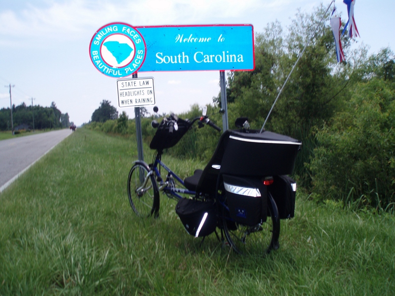
The official SC Welcome Sign

We have arrived

Shattered View

Twin City Airport-Runway 8

Sunset over Tabor City Sports Complex

20160731_162317(0)
Topographic Map of Trooper Lane, Trooper Ln, Loris, SC, USA
Find elevation by address:

Places near Trooper Lane, Trooper Ln, Loris, SC, USA:
3576 Rogers Rd
4809 Circle Dr
4802 Forest Dr
4629 Circle Dr
Loris, SC, USA
5329 Gaylan St
4249 Walnut St
3200 Bryant St
5520 Main St
3610 Broad St
Willow Street
Loris
Main Street & Railroad Avenue
120 Fox Dale Dr
190 State Rd S-26-570
556 Longleaf Dr
1021 Red Bluff Rd
1021 Red Bluff Rd
3204 Casey St
Russ Road
Recent Searches:
- Elevation of Pinewood Dr, New Bern, NC, USA
- Elevation of Mountain View, CA, USA
- Elevation of Foligno, Province of Perugia, Italy
- Elevation of Blauwestad, Netherlands
- Elevation of Bella Terra Blvd, Estero, FL, USA
- Elevation of Estates Loop, Priest River, ID, USA
- Elevation of Woodland Oak Pl, Thousand Oaks, CA, USA
- Elevation of Brownsdale Rd, Renfrew, PA, USA
- Elevation of Corcoran Ln, Suffolk, VA, USA
- Elevation of Mamala II, Sariaya, Quezon, Philippines